Central Upper Peninsula and Northern Michigan University Archives
Return to Home
Cleveland Cliffs Iron Company records
CCI
Table of Contents
Collection Inventory
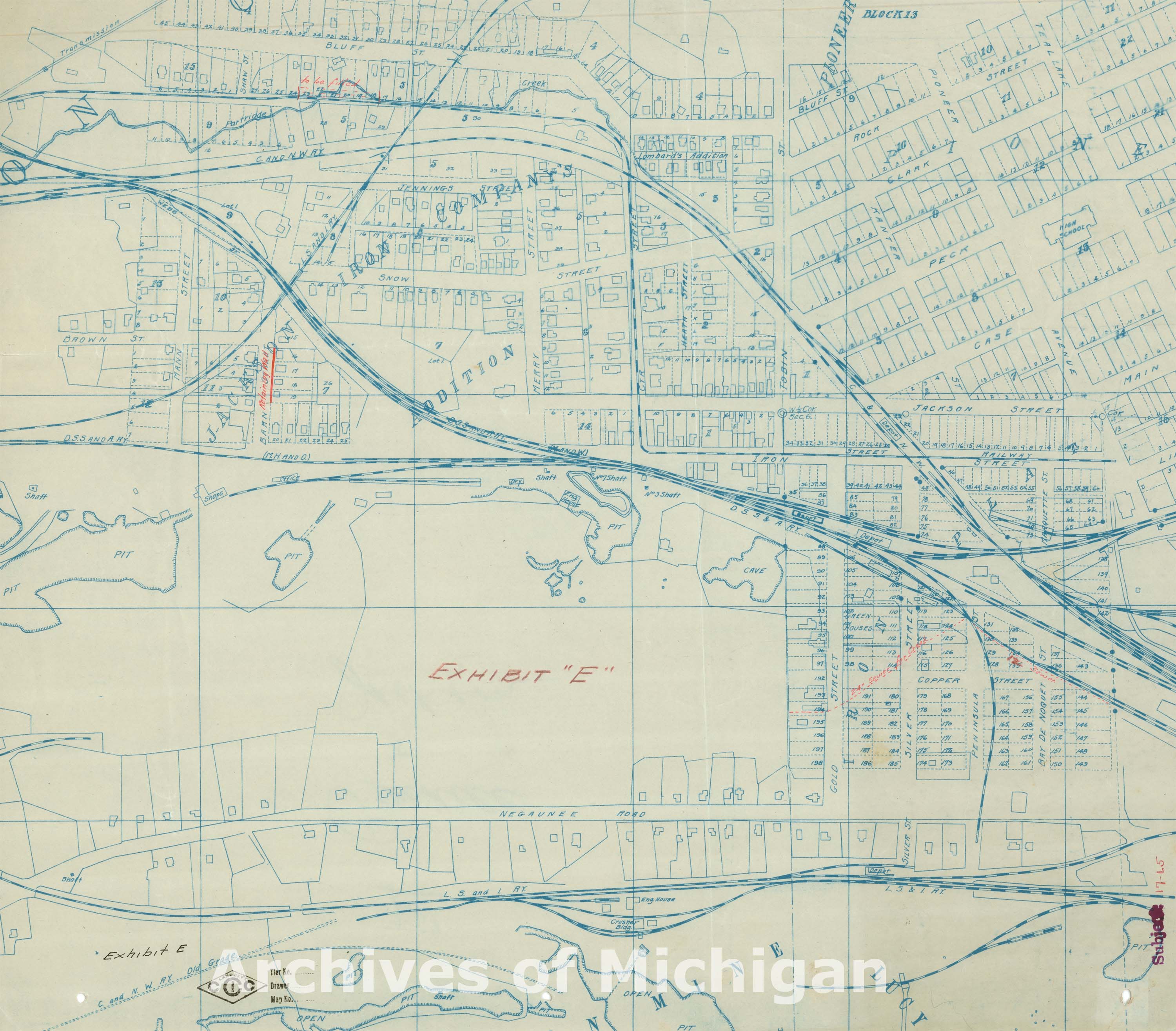
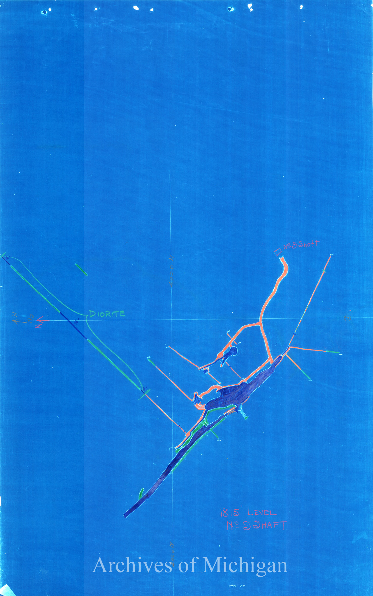
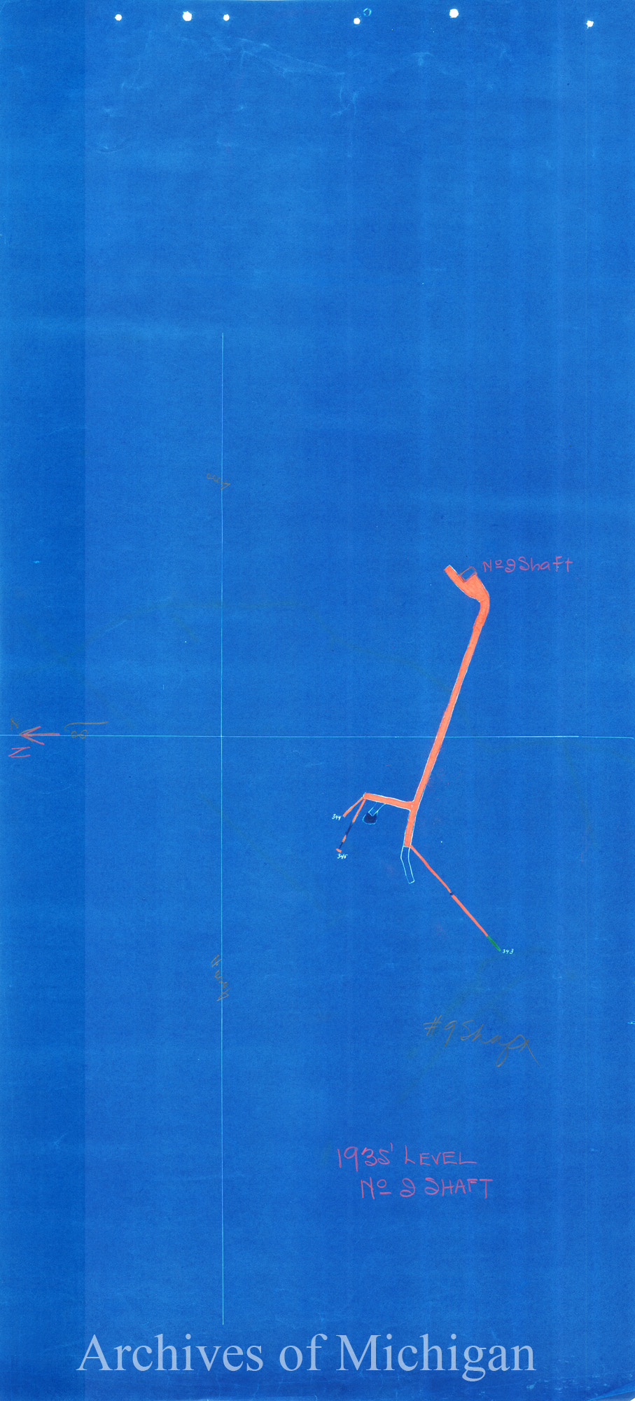
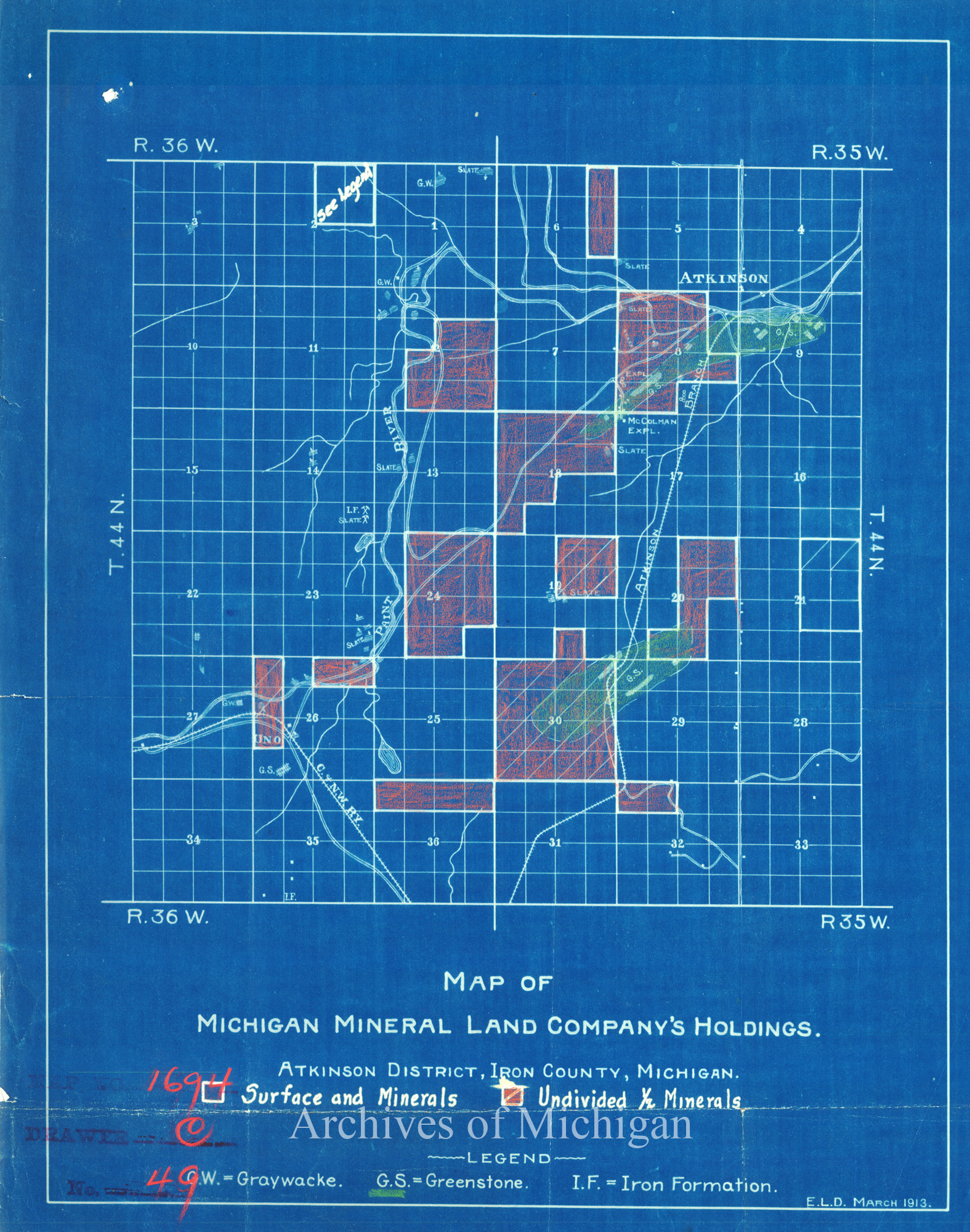
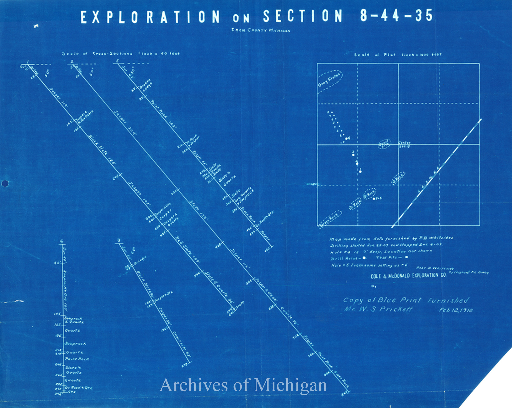
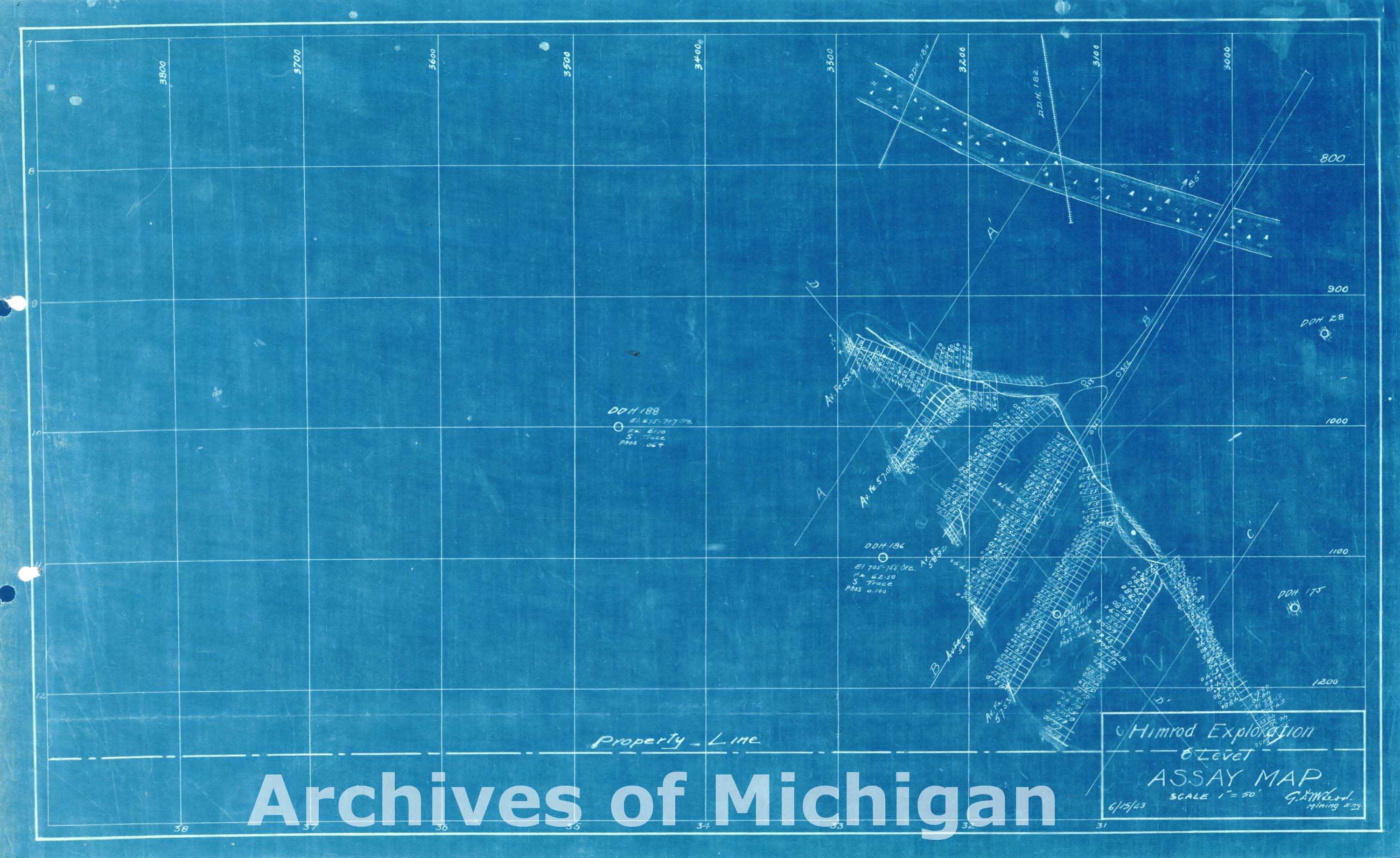
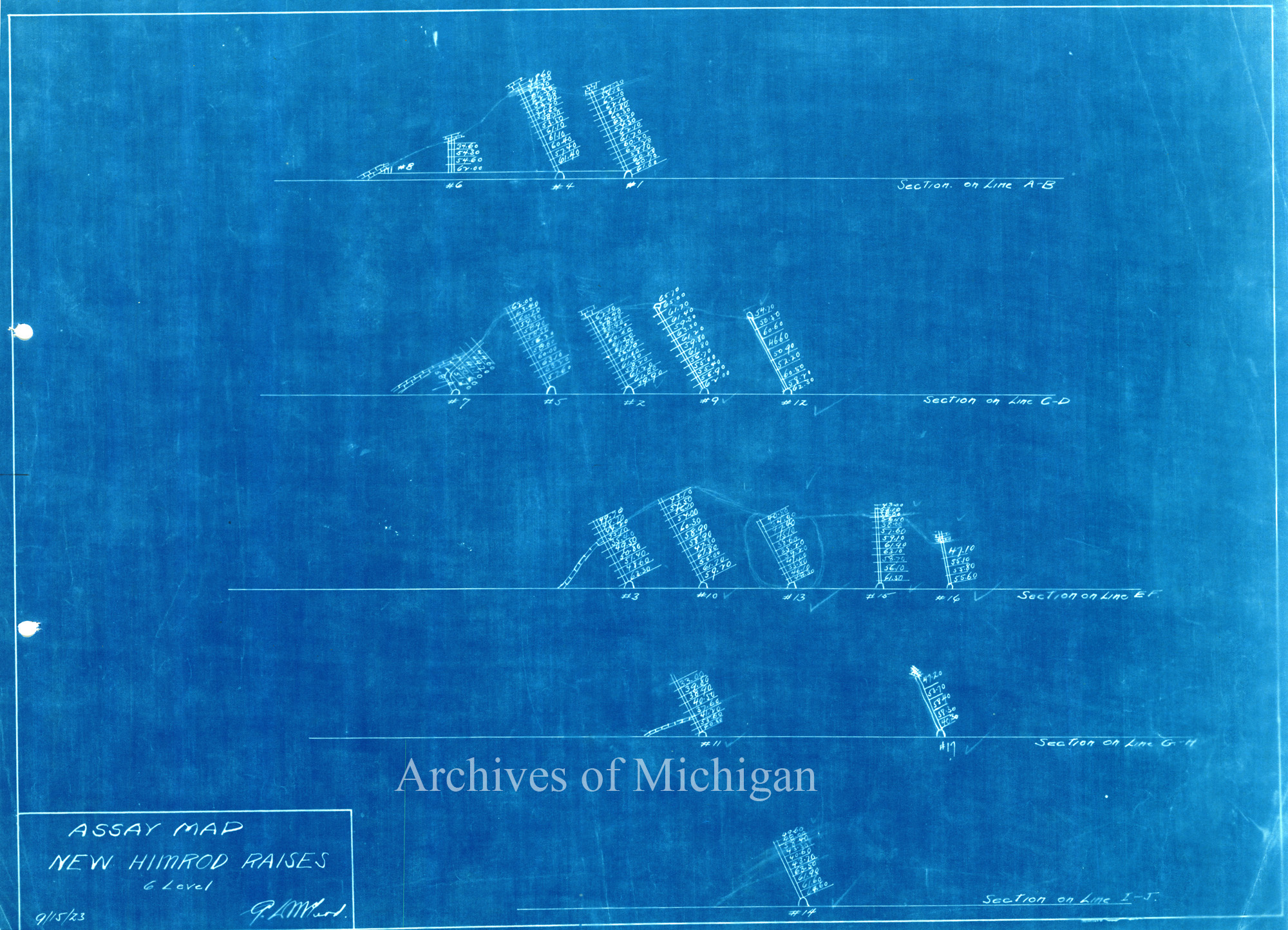
Series 8: Historical Maps 1882-1937 235.0 items.Scope and Contents noteThe Historic Maps and Plans include 235 items that date from 1882 to 1937. The maps describe individual mines and their surrounding communities on the Marquette Range, Minnesota iron ranges, and Wisconsin. Some of these are maps of the surface plant, while others deal with underground workings or details of shaft houses. A considerable number detail the timber interests of CCI and other large landholders in the central and western Upper Peninsula. Still other maps relate to the development of the watersheds that CCI tapped in the early twentieth century to produce hydroelectric power for its mining and other related operations. Numerous students, scholars, and the general public have accessed this record series to gather historical information on land use, forestry practices, and environmental depredation. |
||||||||||||||||
|
Map showing the subdivision of south half of sect 10 T. 40 N. R. 22 W. and place of the Gladstone CO's Furnace Addition -- Gladstone Company, Gladstone 1906 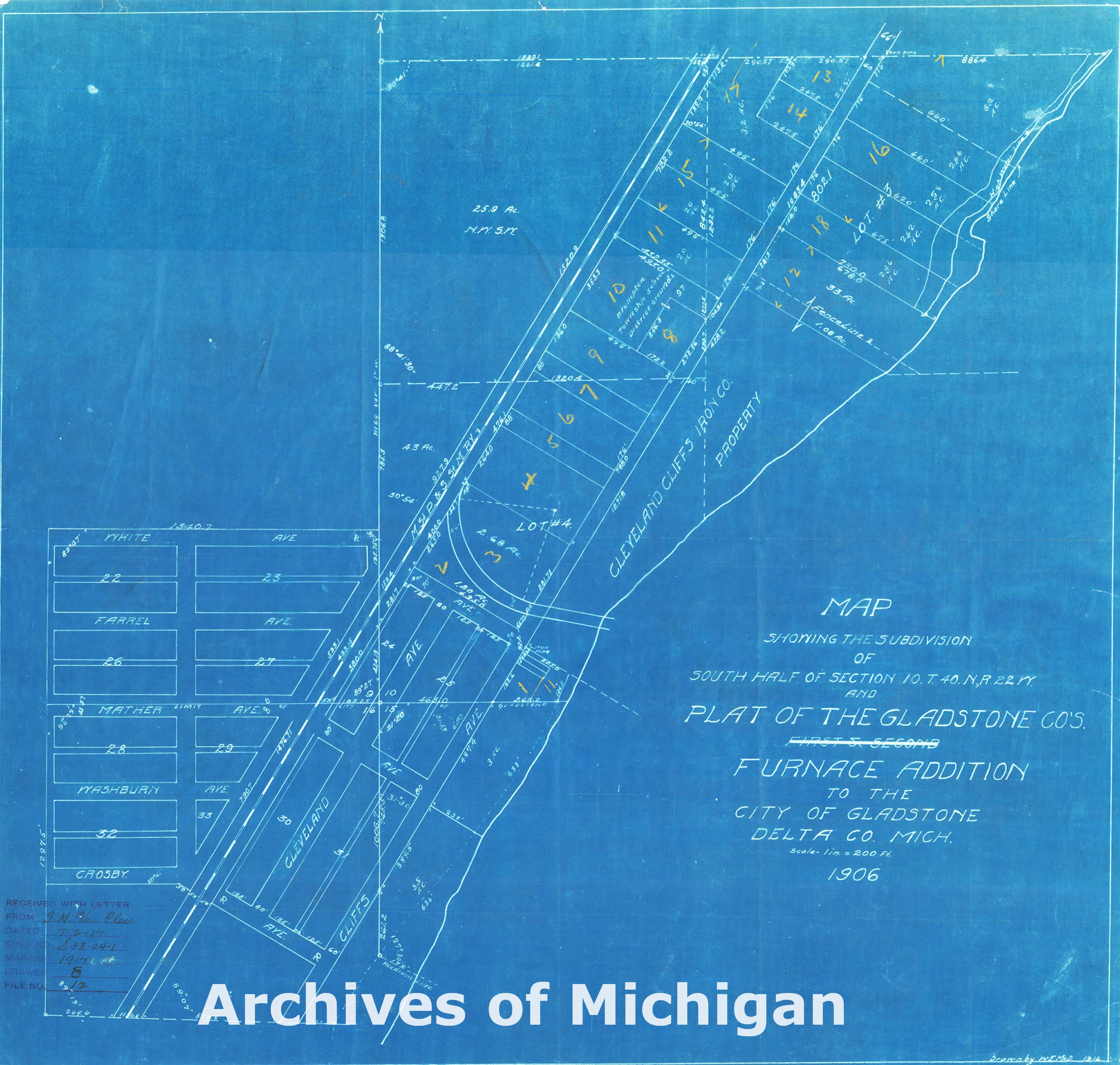
|
||||||||||||||||
|
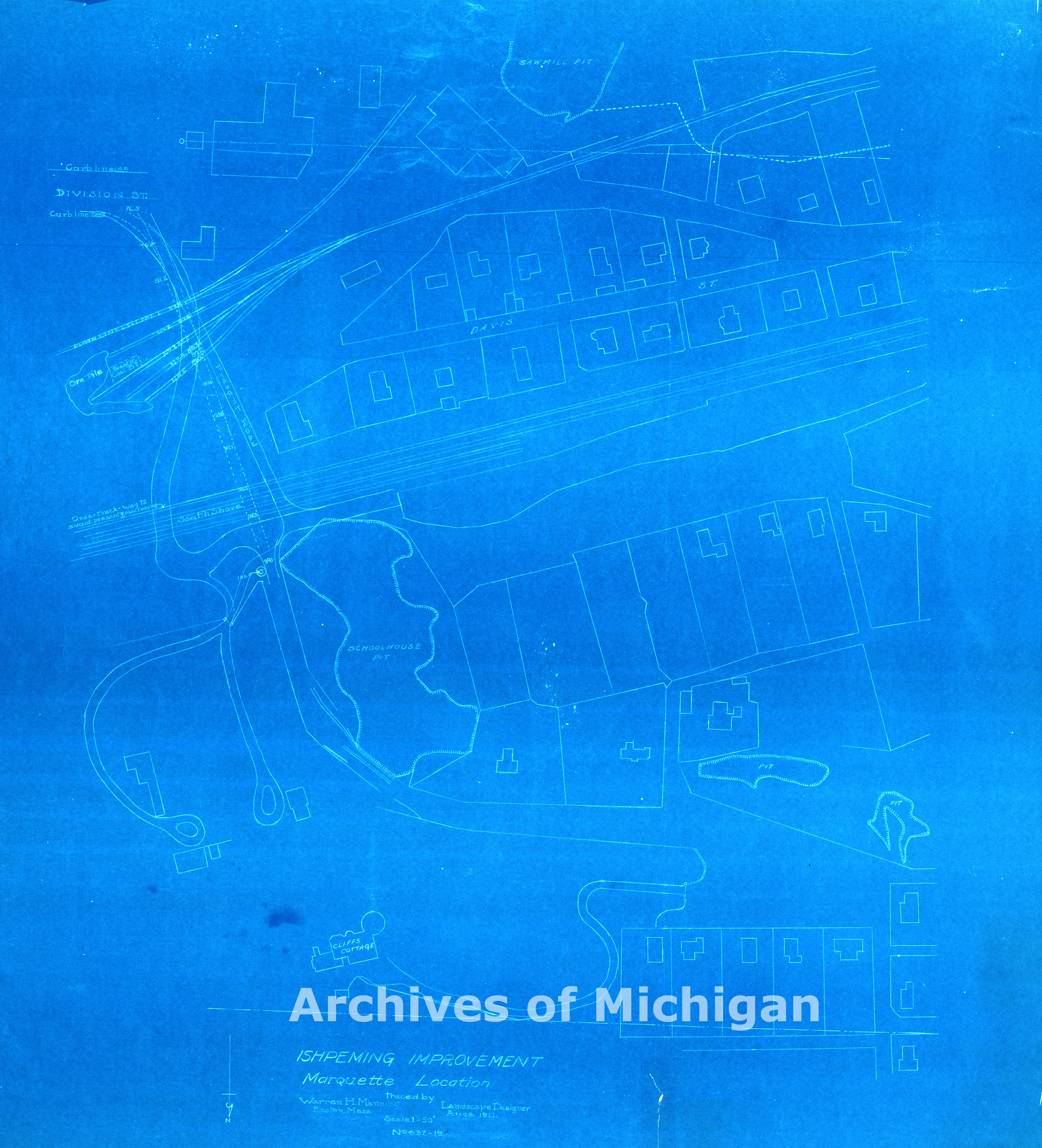
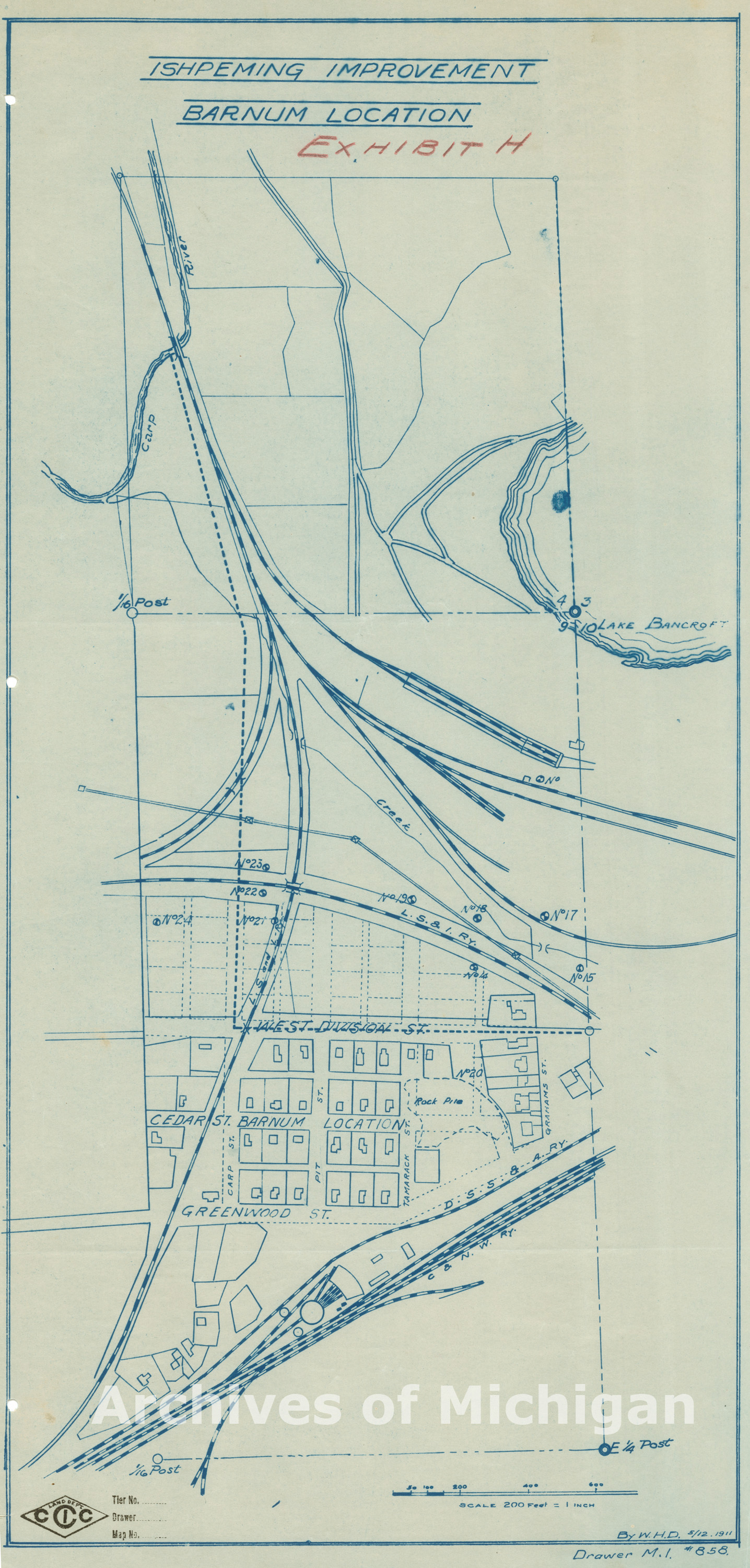
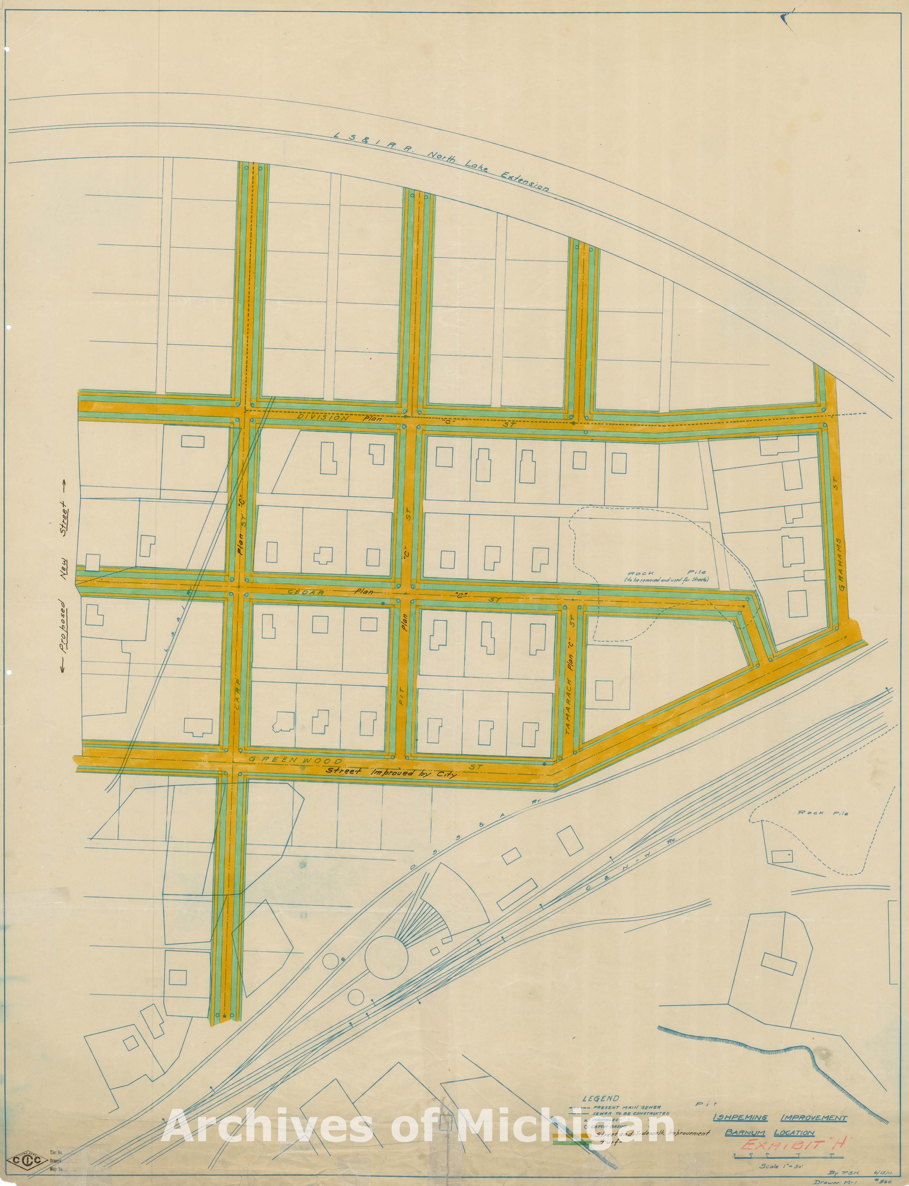
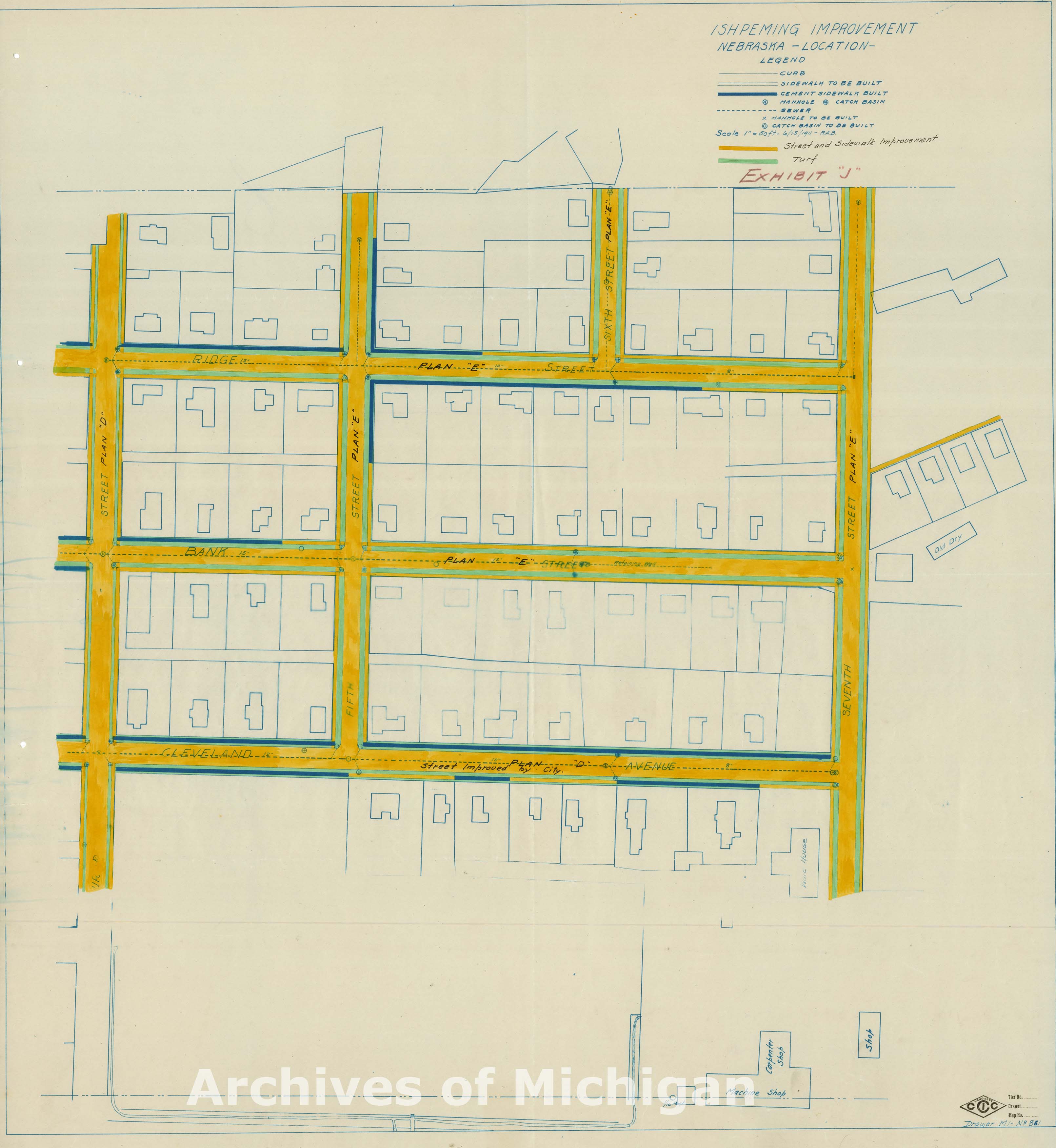
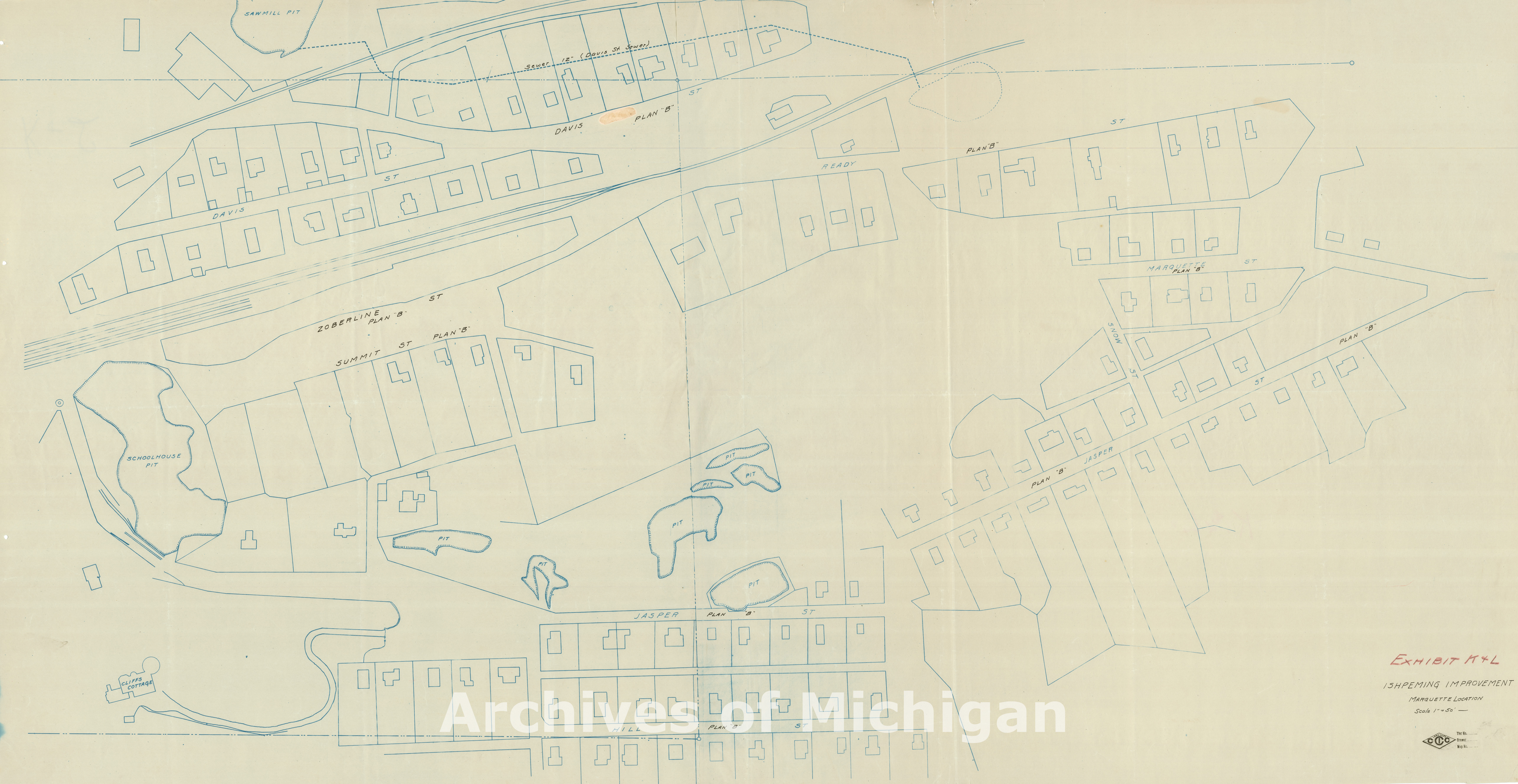
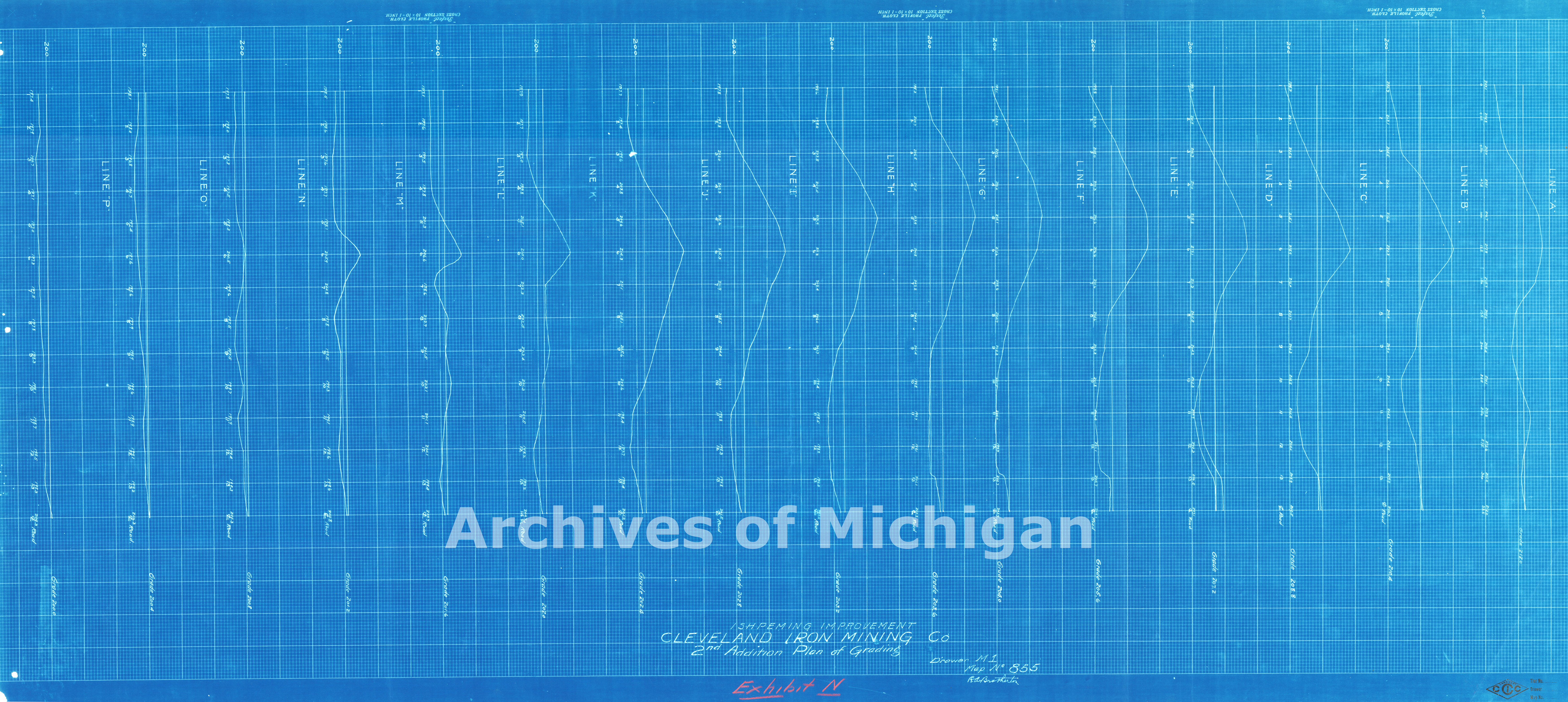
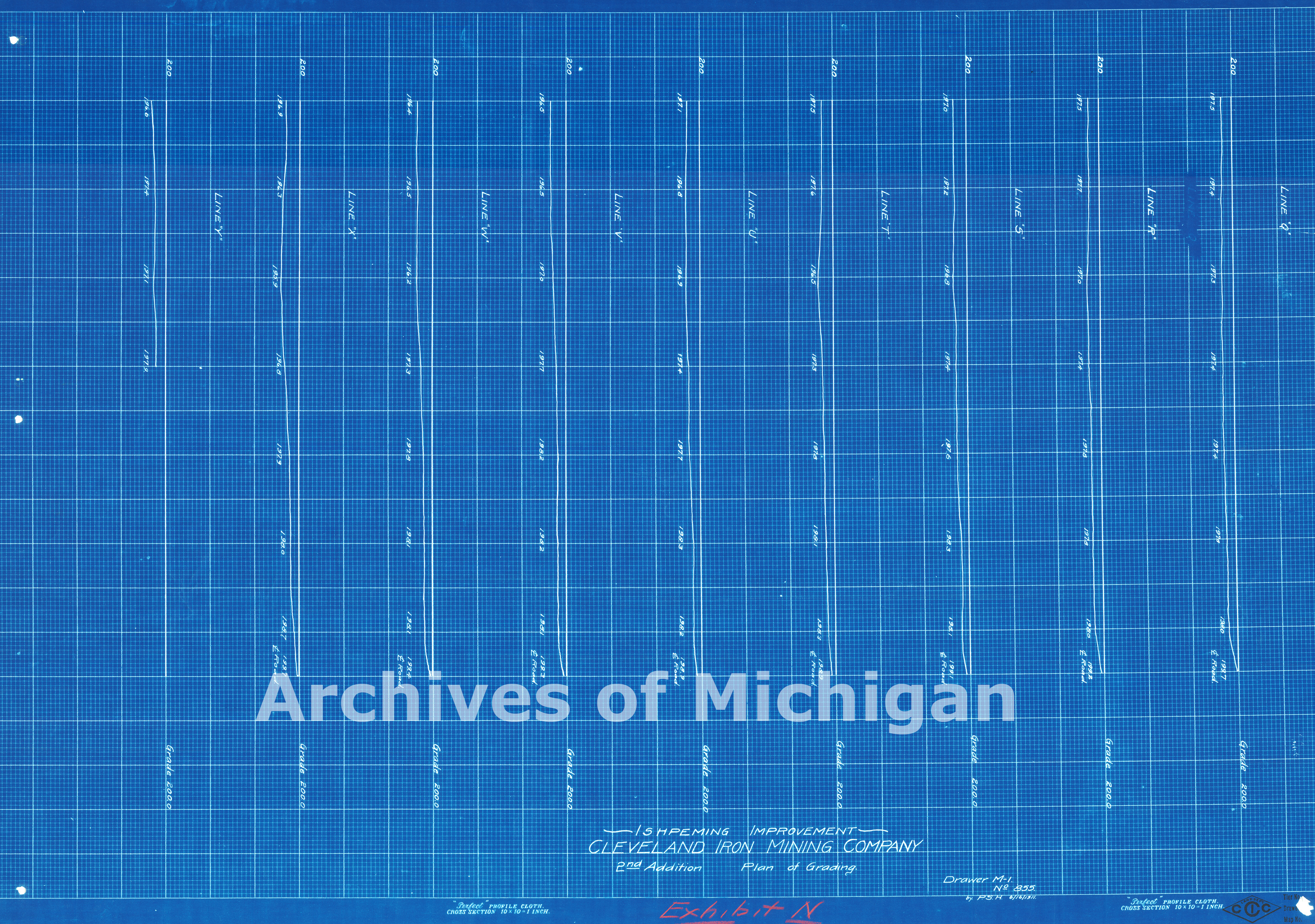
Ishpeming Improvements-Ishpeming, Michigan 1911 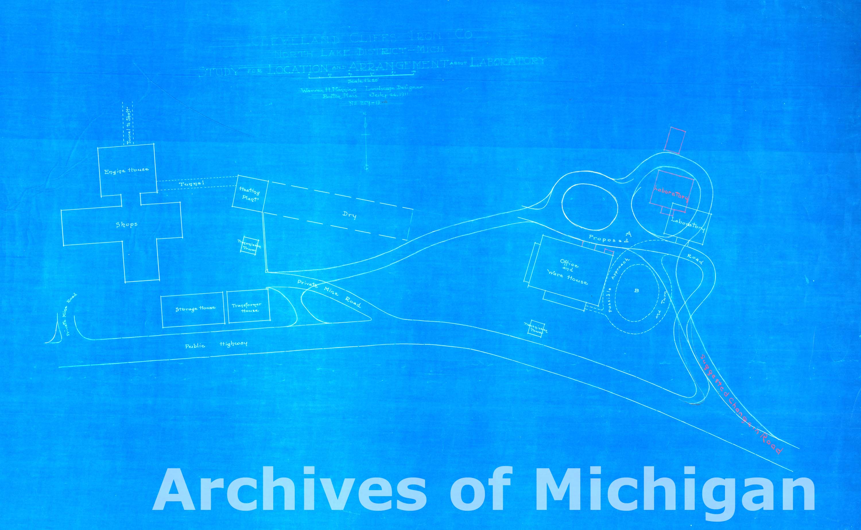
|
||||||||||||||||
|
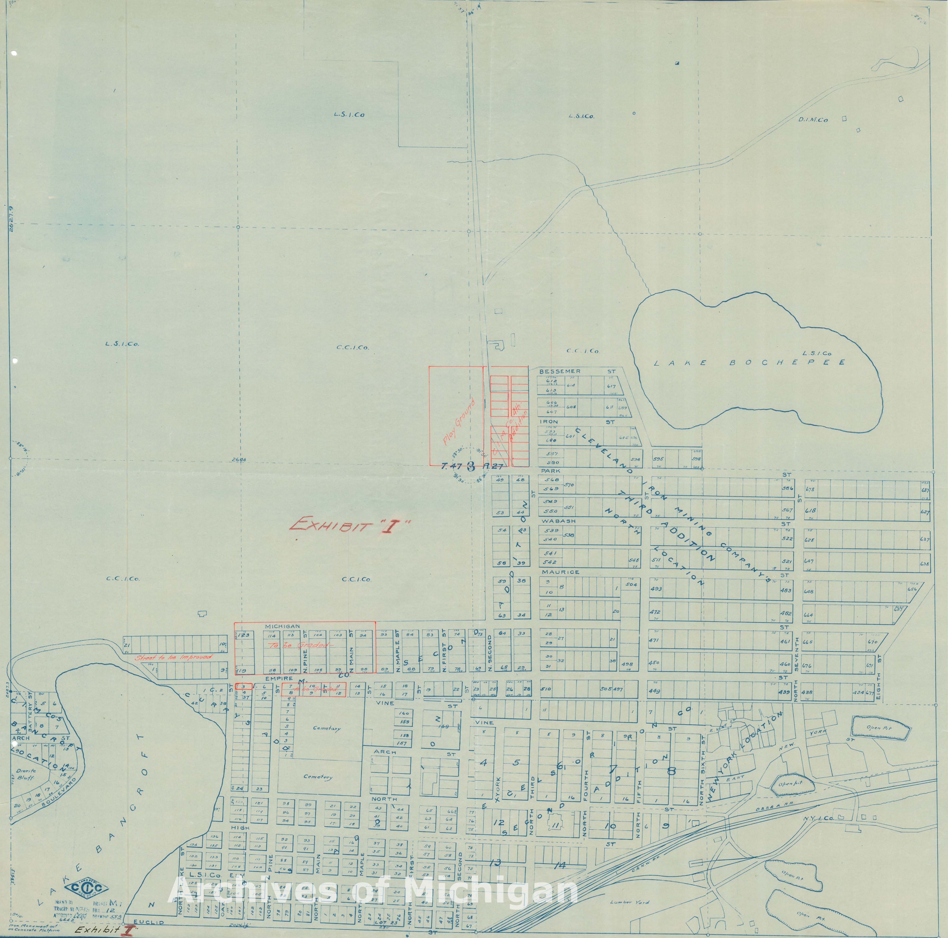
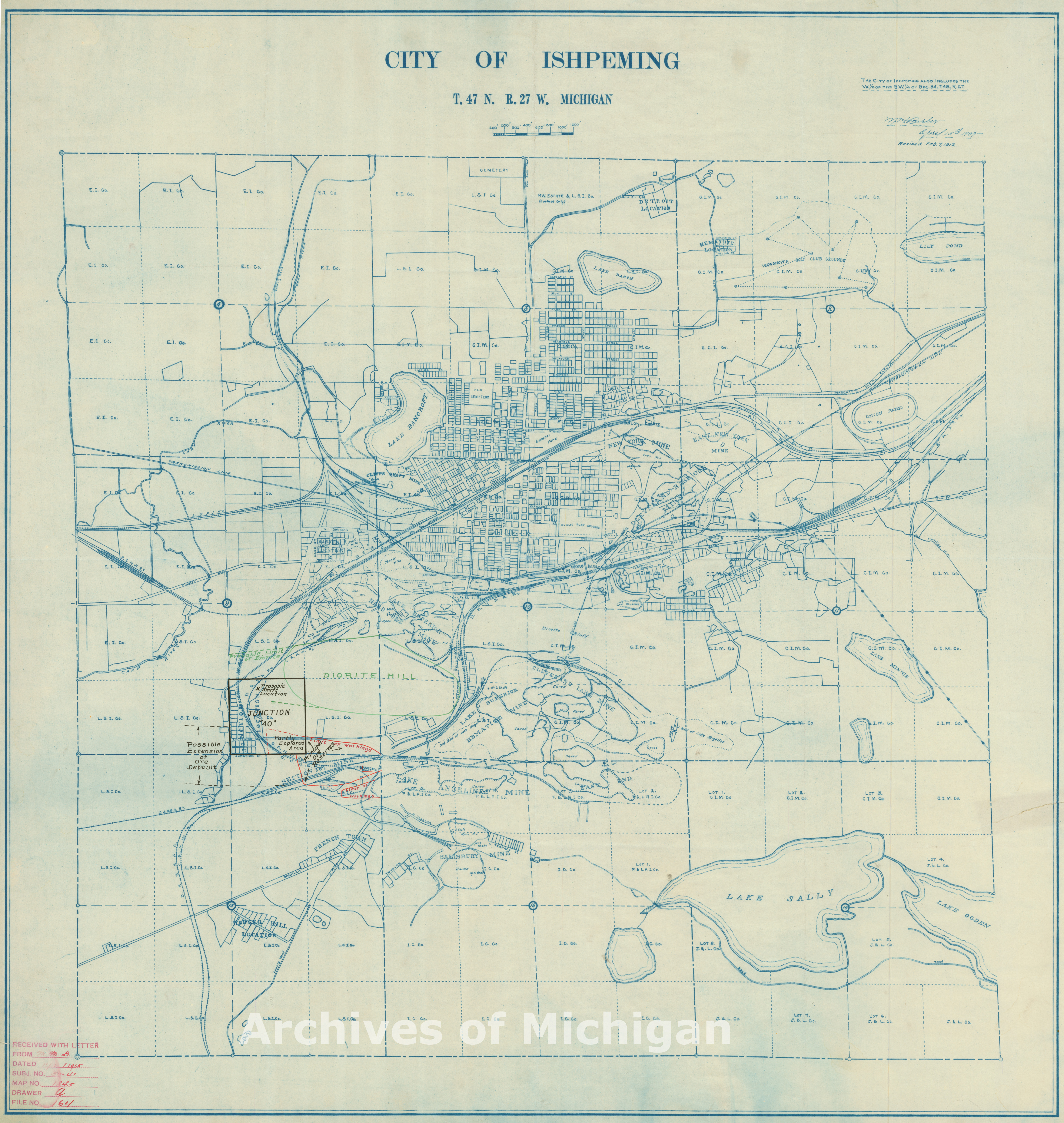
City of Ishpeming T. 47 N.R. 27 W. Feb 7th, 1912 (2 of the same maps) 1912 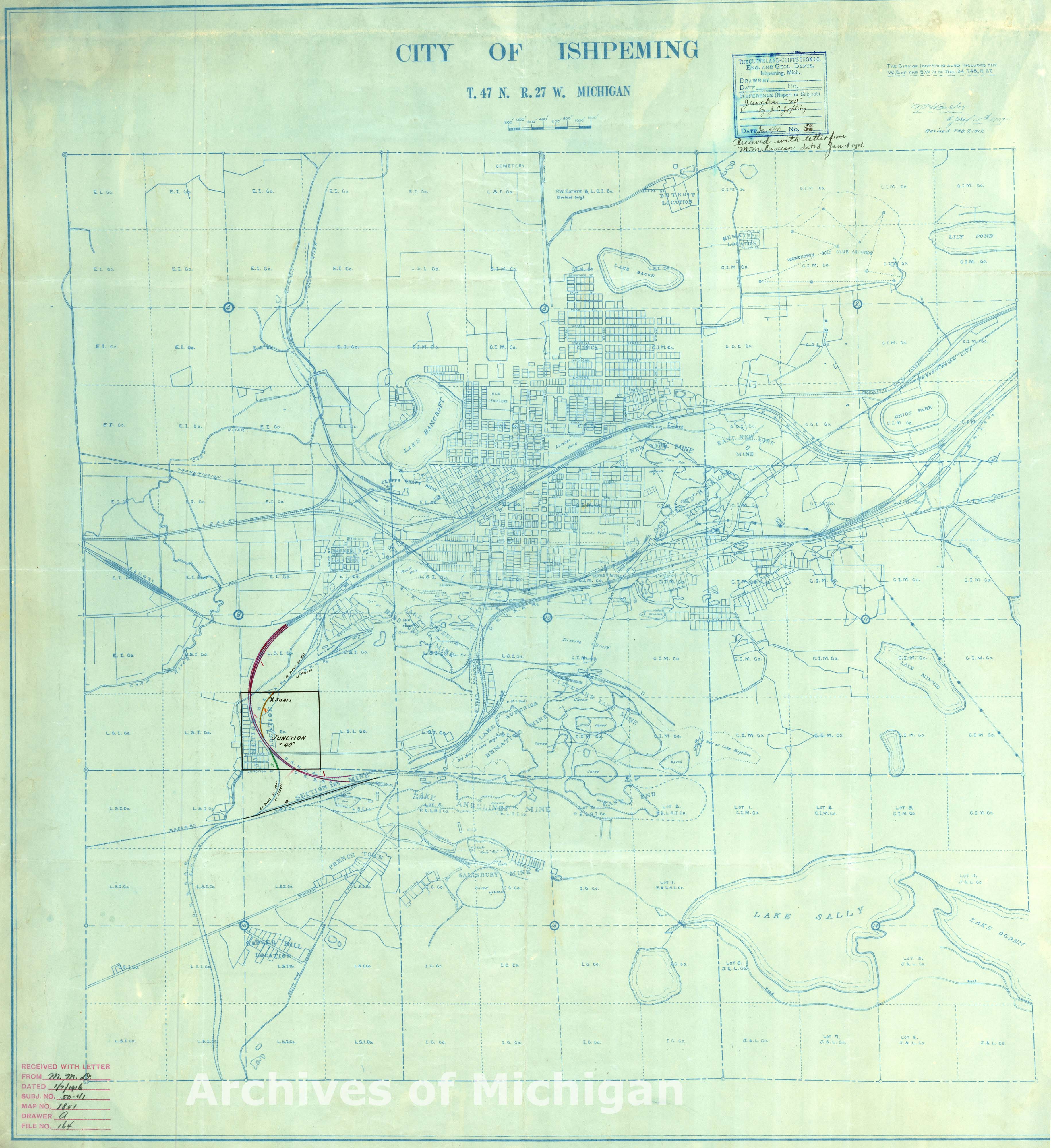
|
||||||||||||||||
|
City of Ishpeming showing S.1/2 of the S. 1/4 of Sec.9, T.47 N.,27 W. 1916 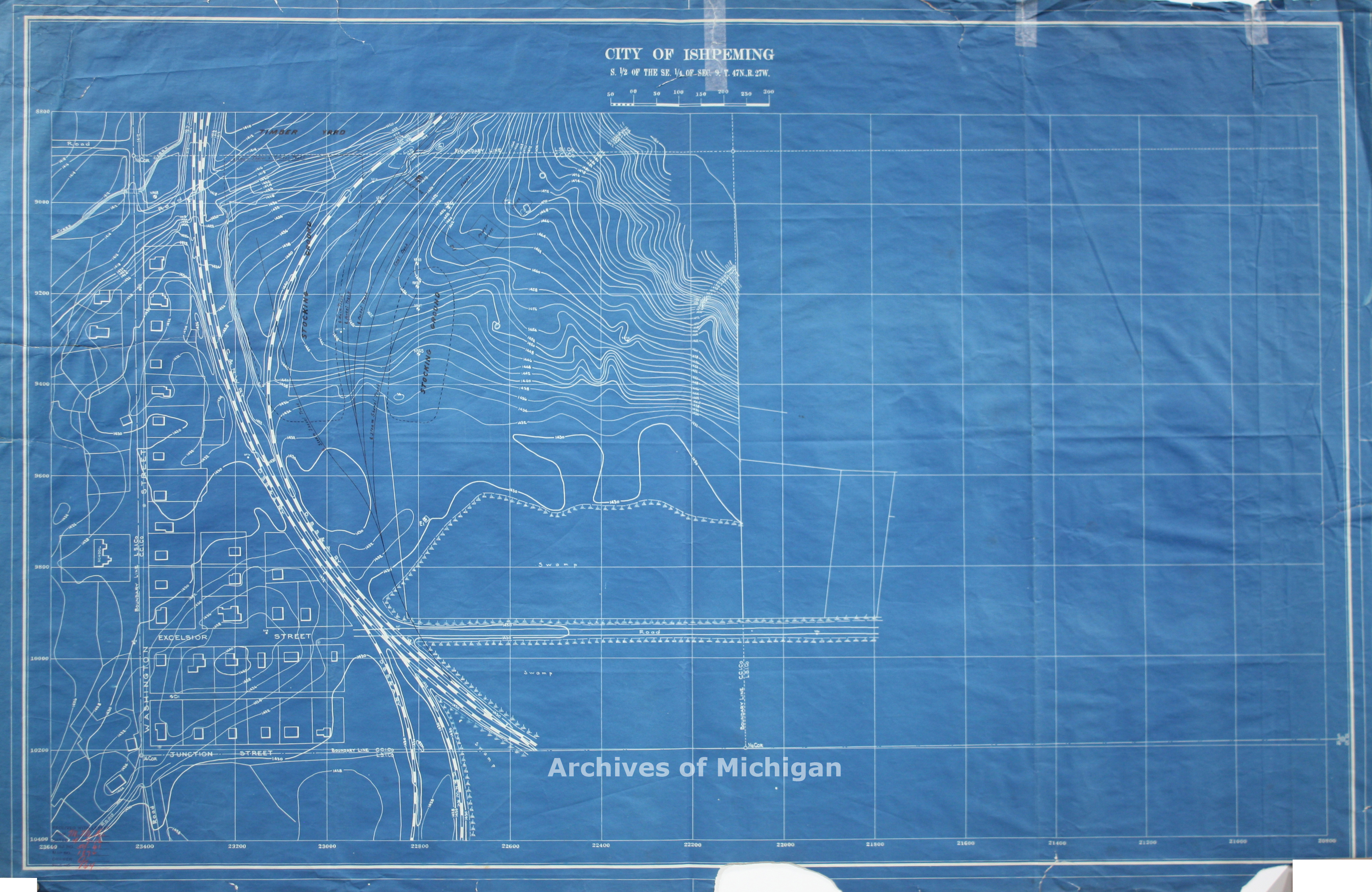
|
||||||||||||||||
|
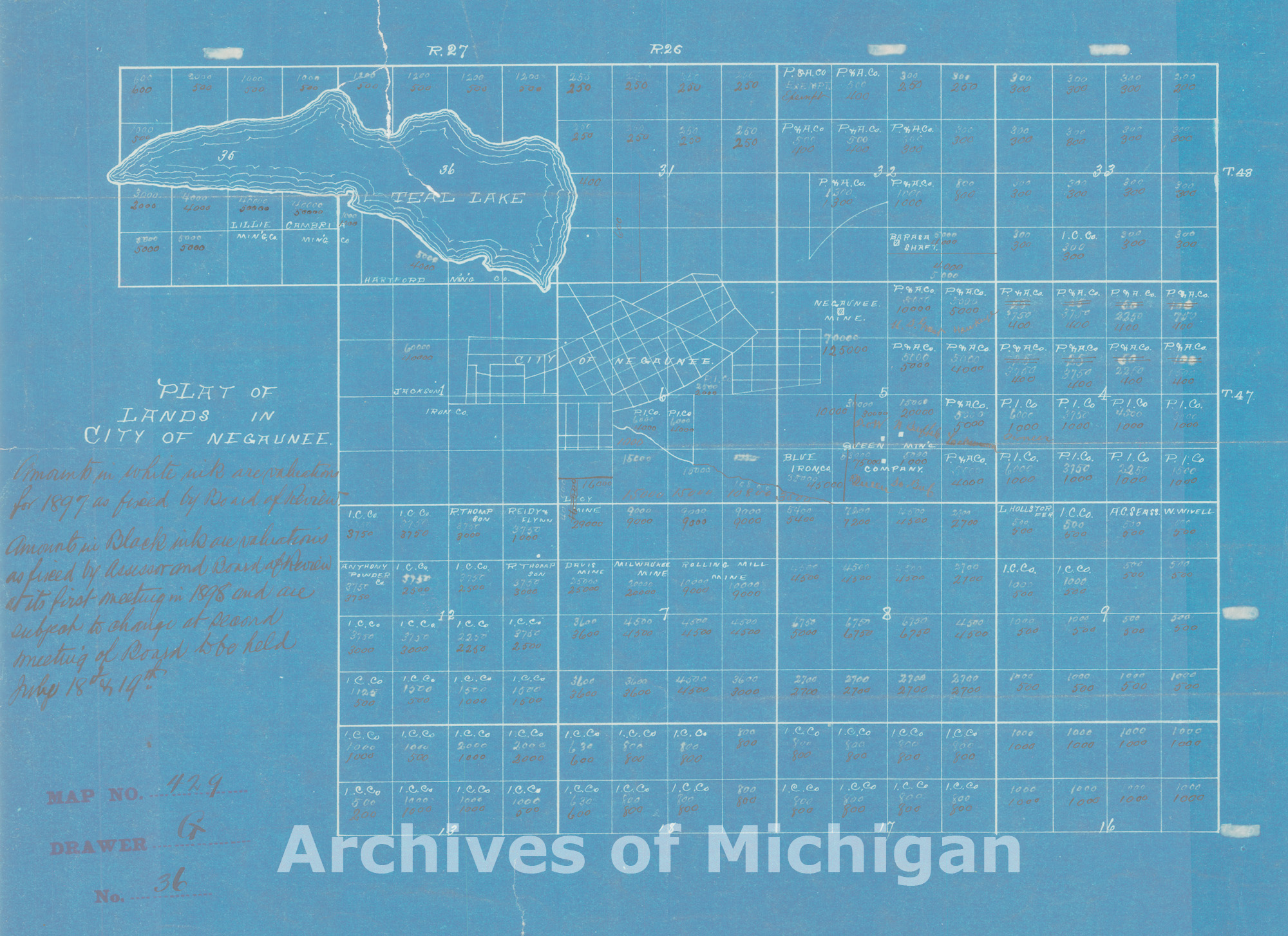
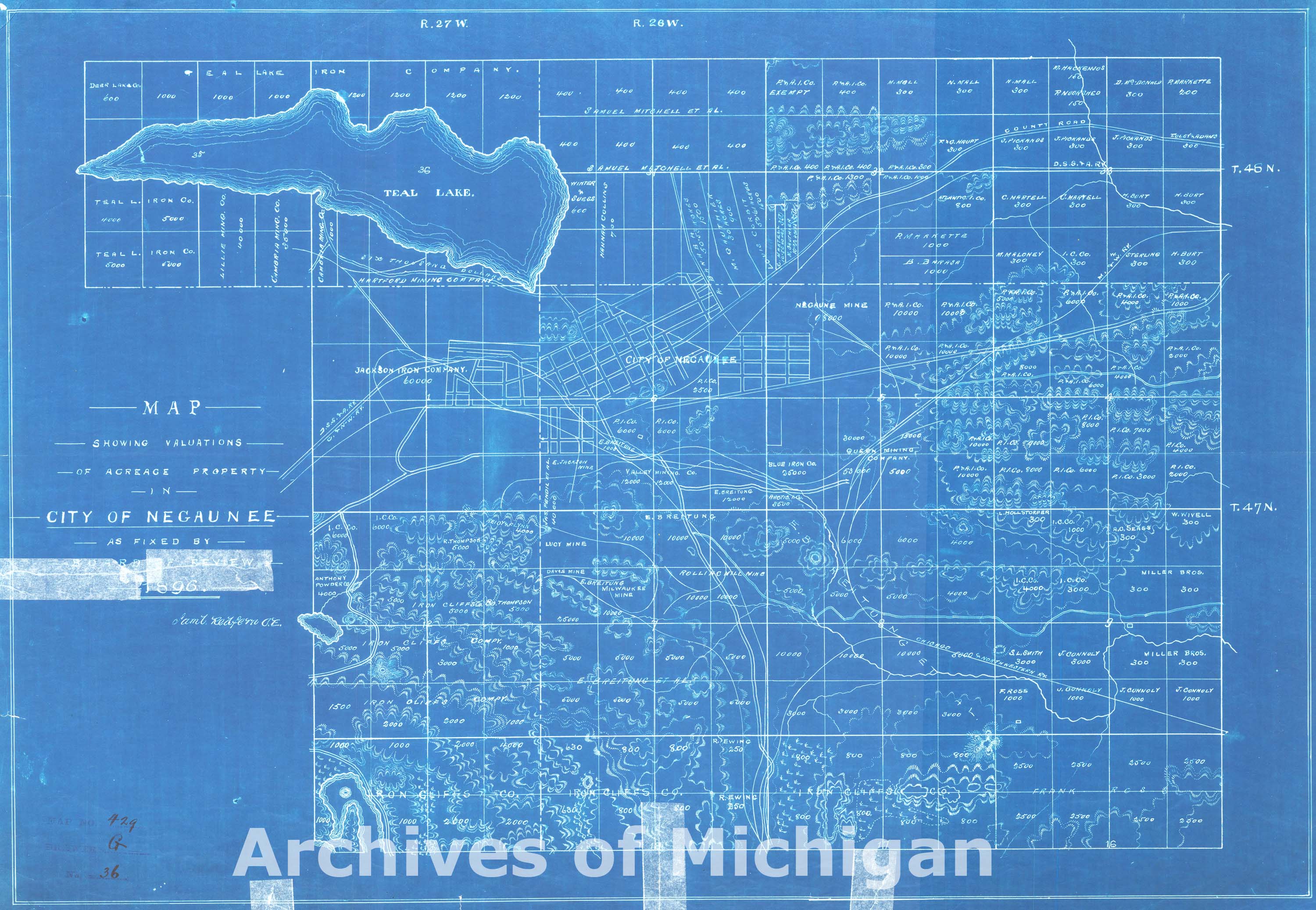
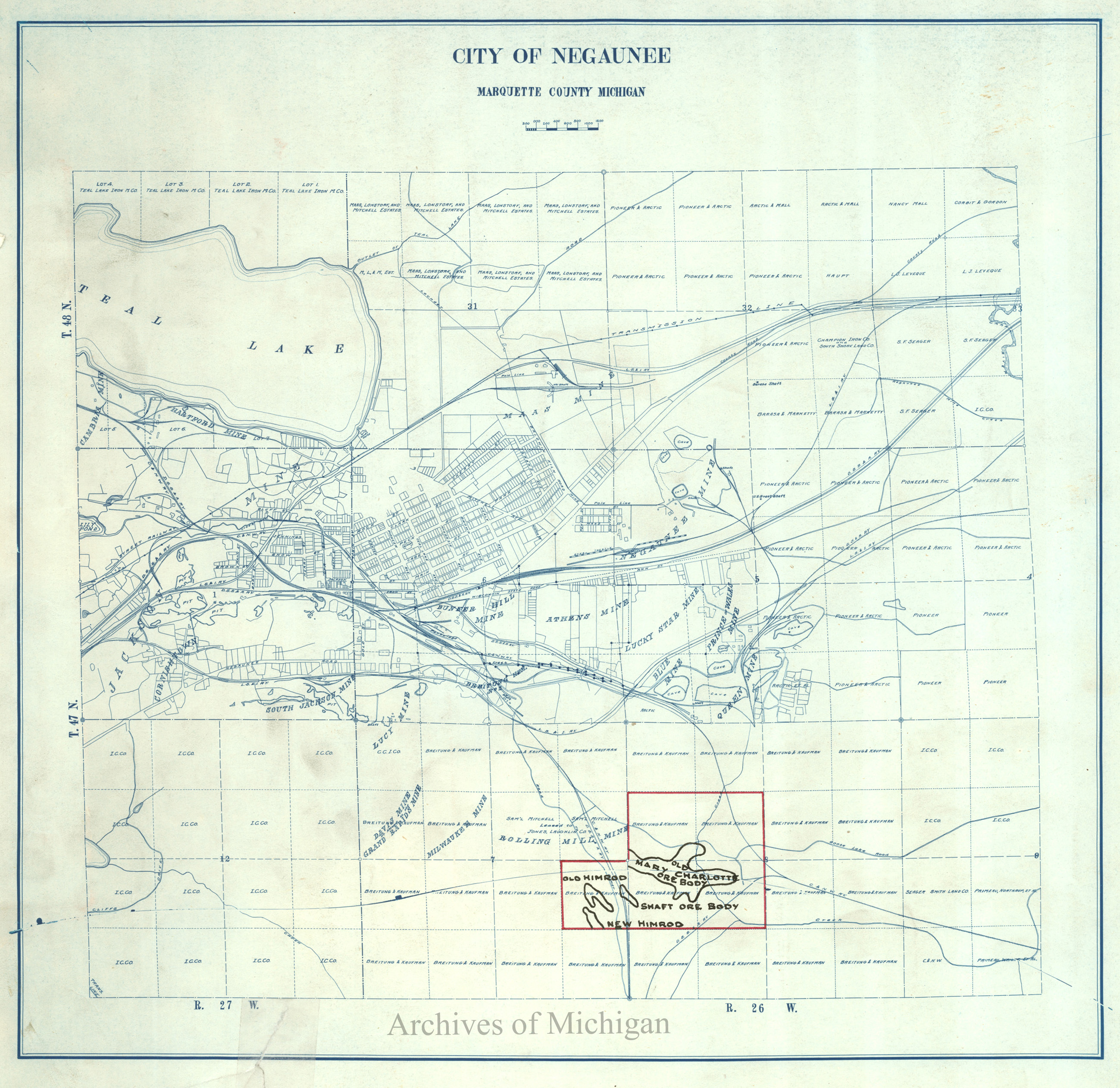
Plat of Lands in City of Negaunee (3 maps) 1886-1889 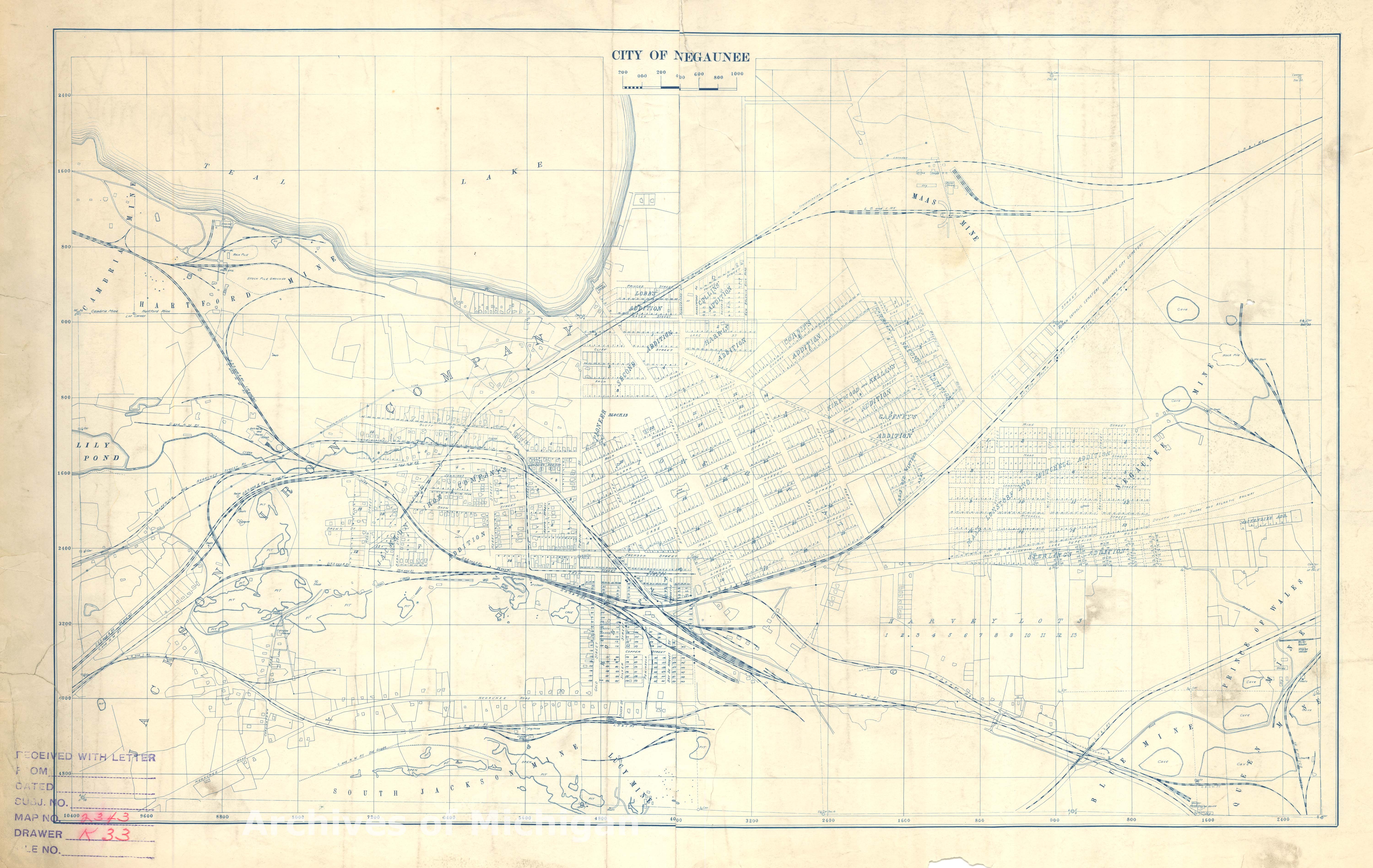
|
||||||||||||||||
|
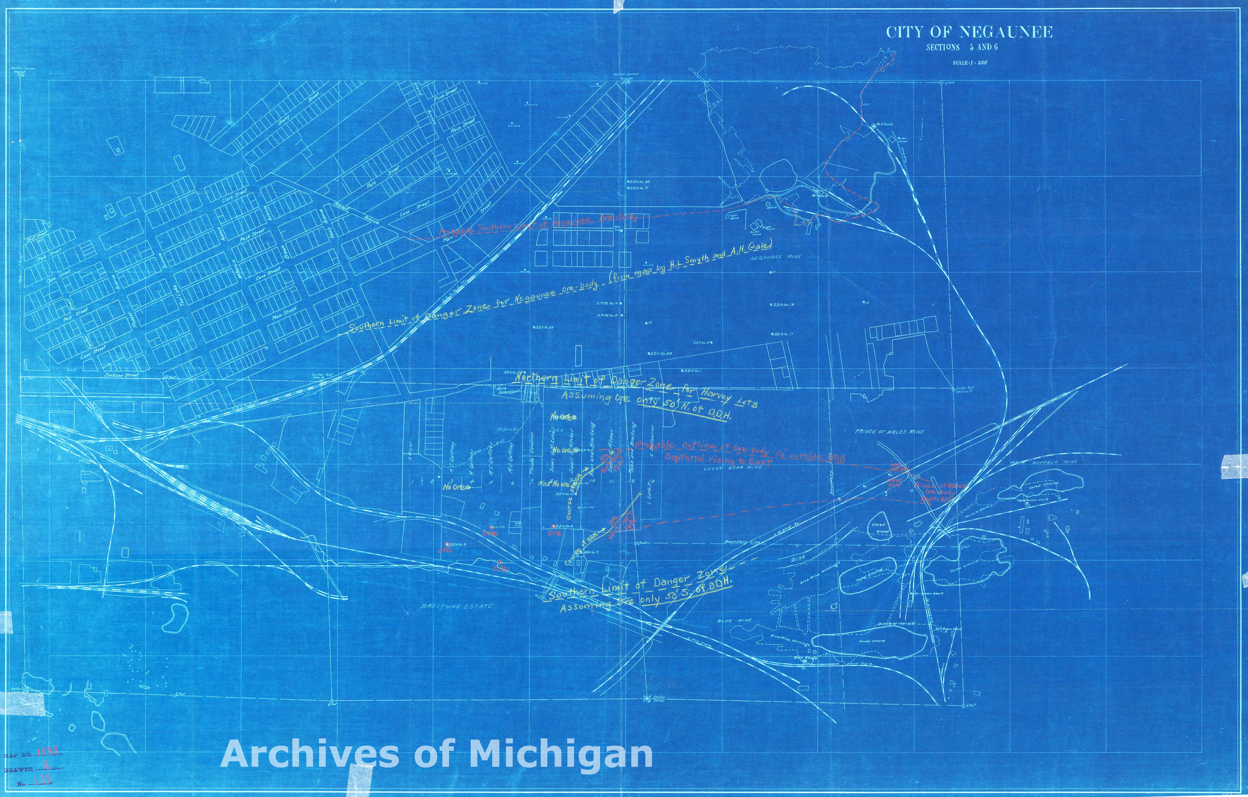
City of Negaunee Sections 5 and 6 (2 maps) 1900 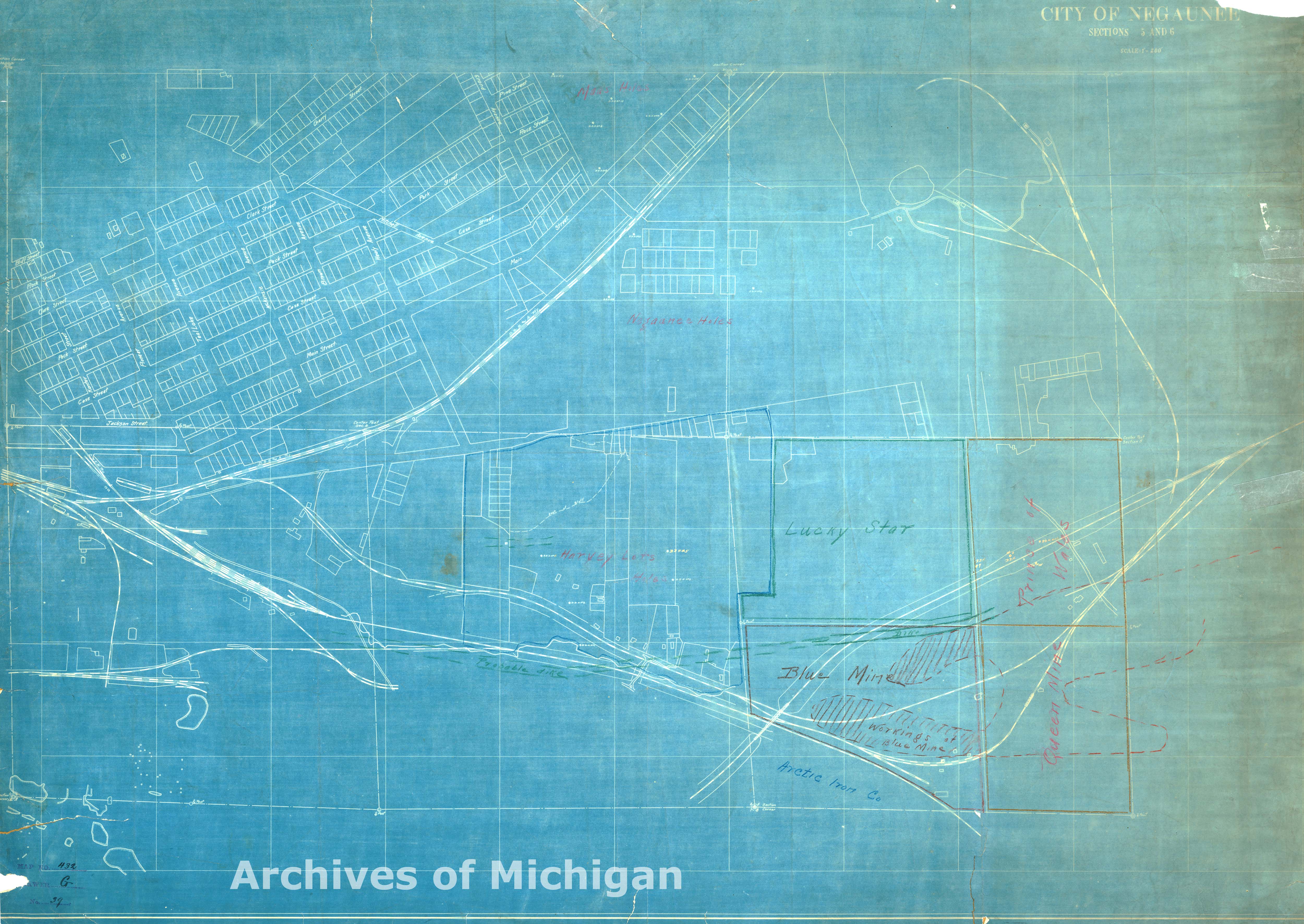
|
||||||||||||||||
|
Map Showing Mineral Rights at Negaunee 1906 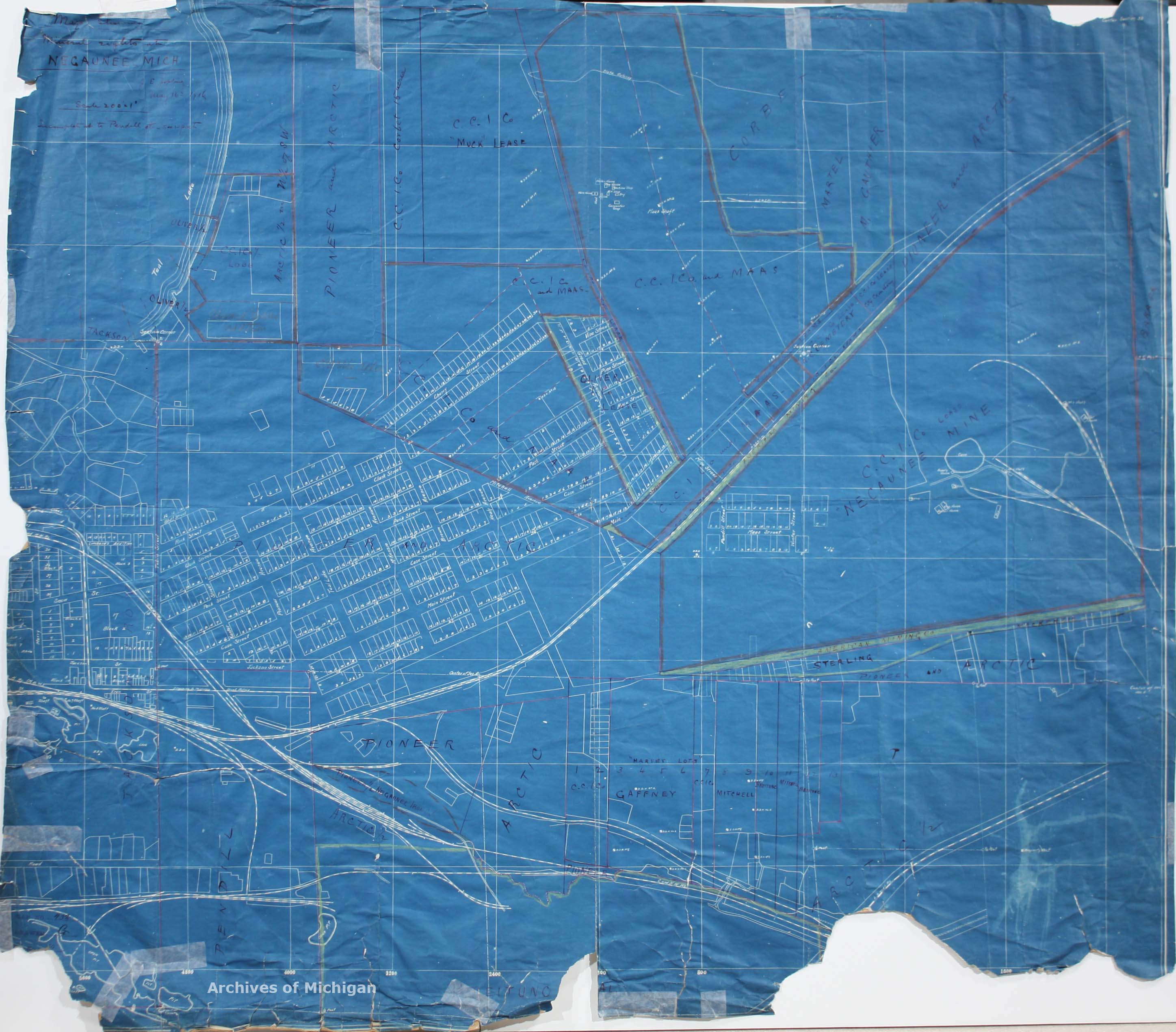
|
||||||||||||||||
|
City of Negaunee and vicinity 1907 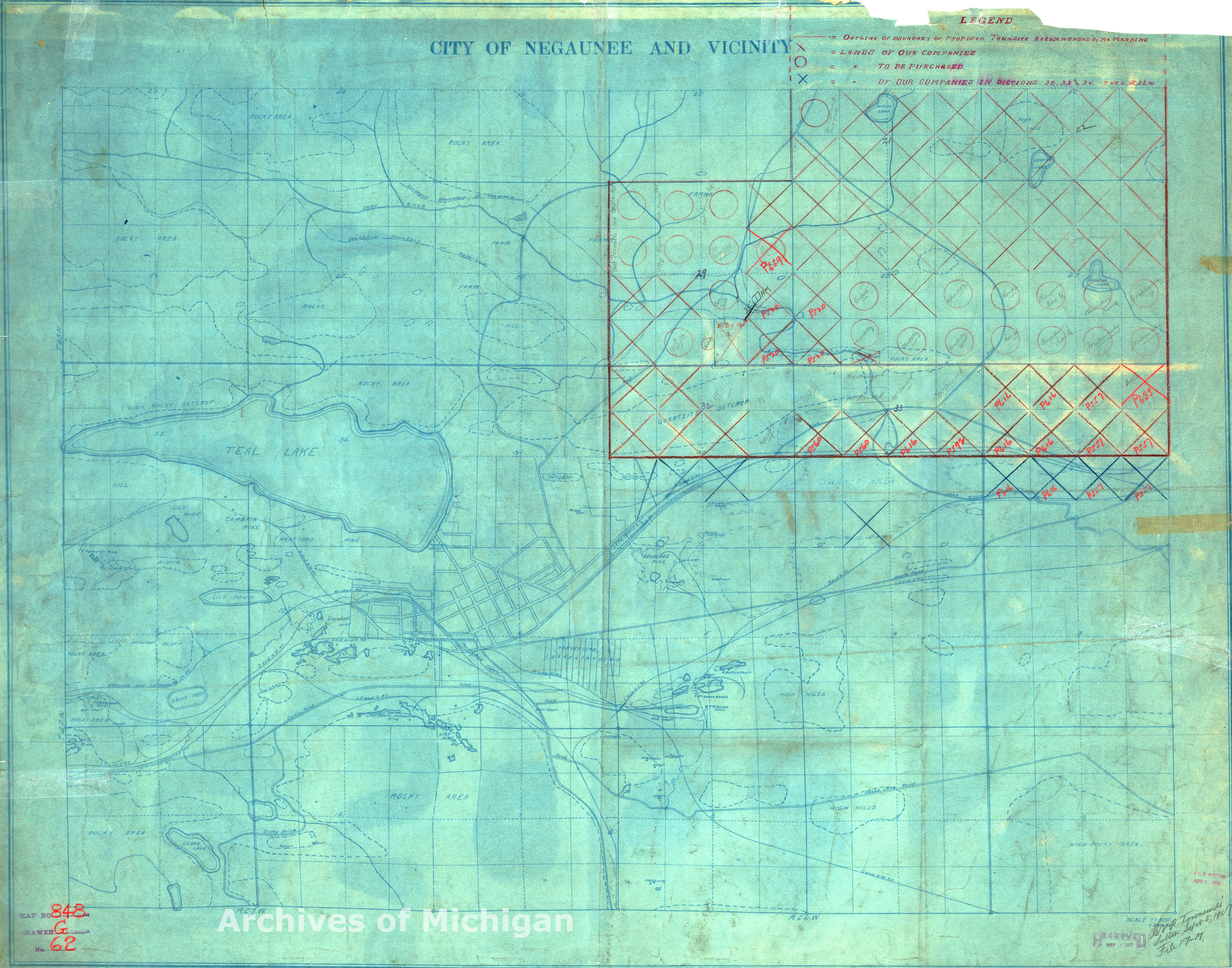
|
||||||||||||||||
|
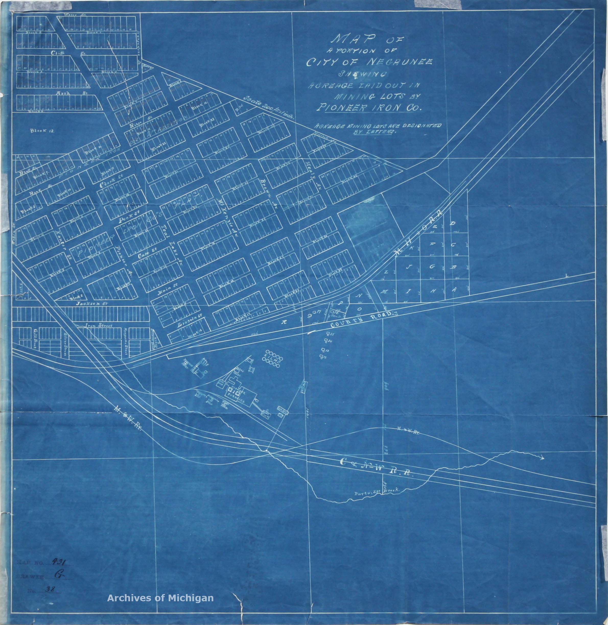
Map of a portion of City of Negaunee showing acreage laid out in mining lots by Pioneer Iron Company 1910 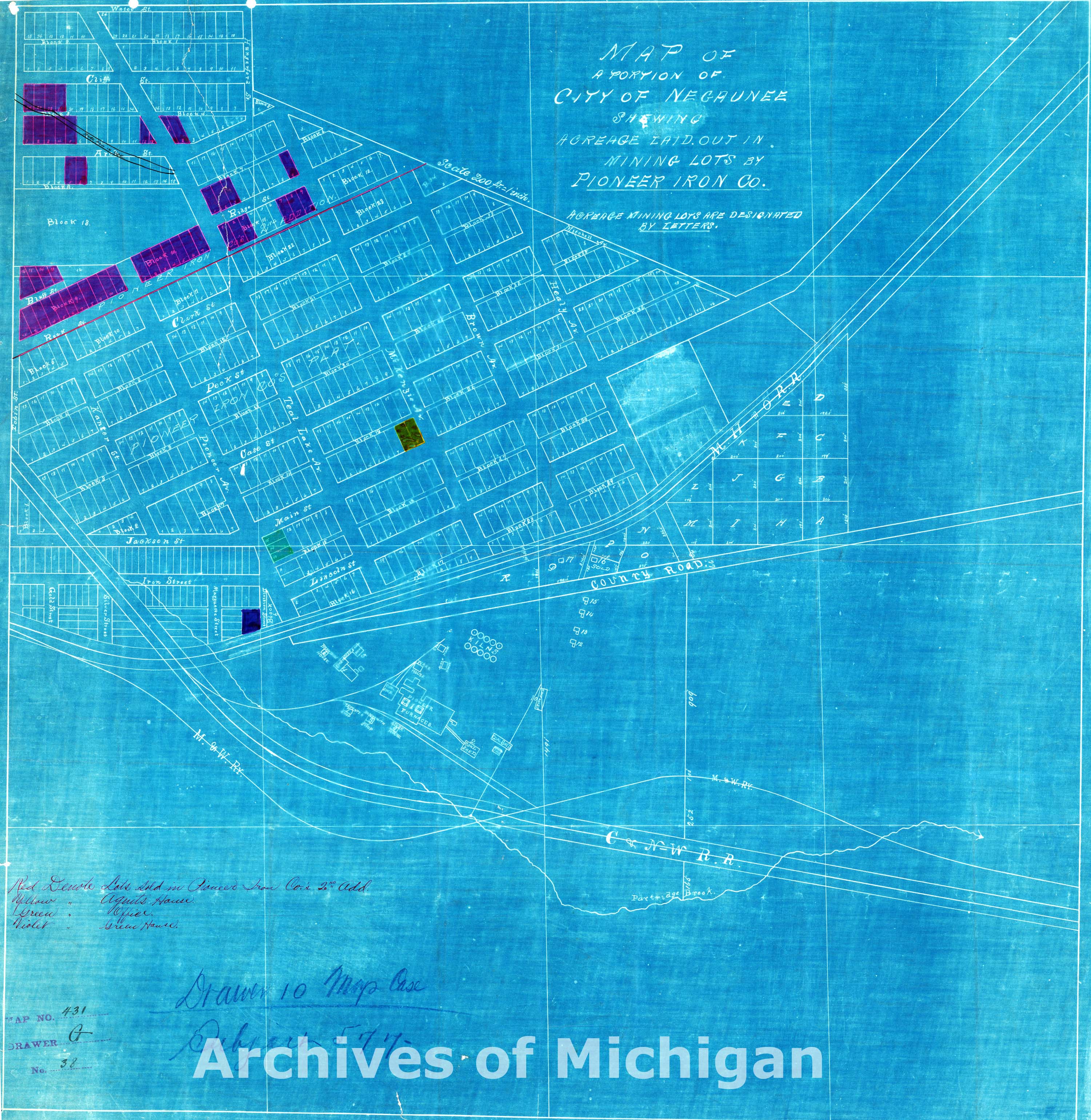
|
||||||||||||||||
|
City of Negaunee 1921 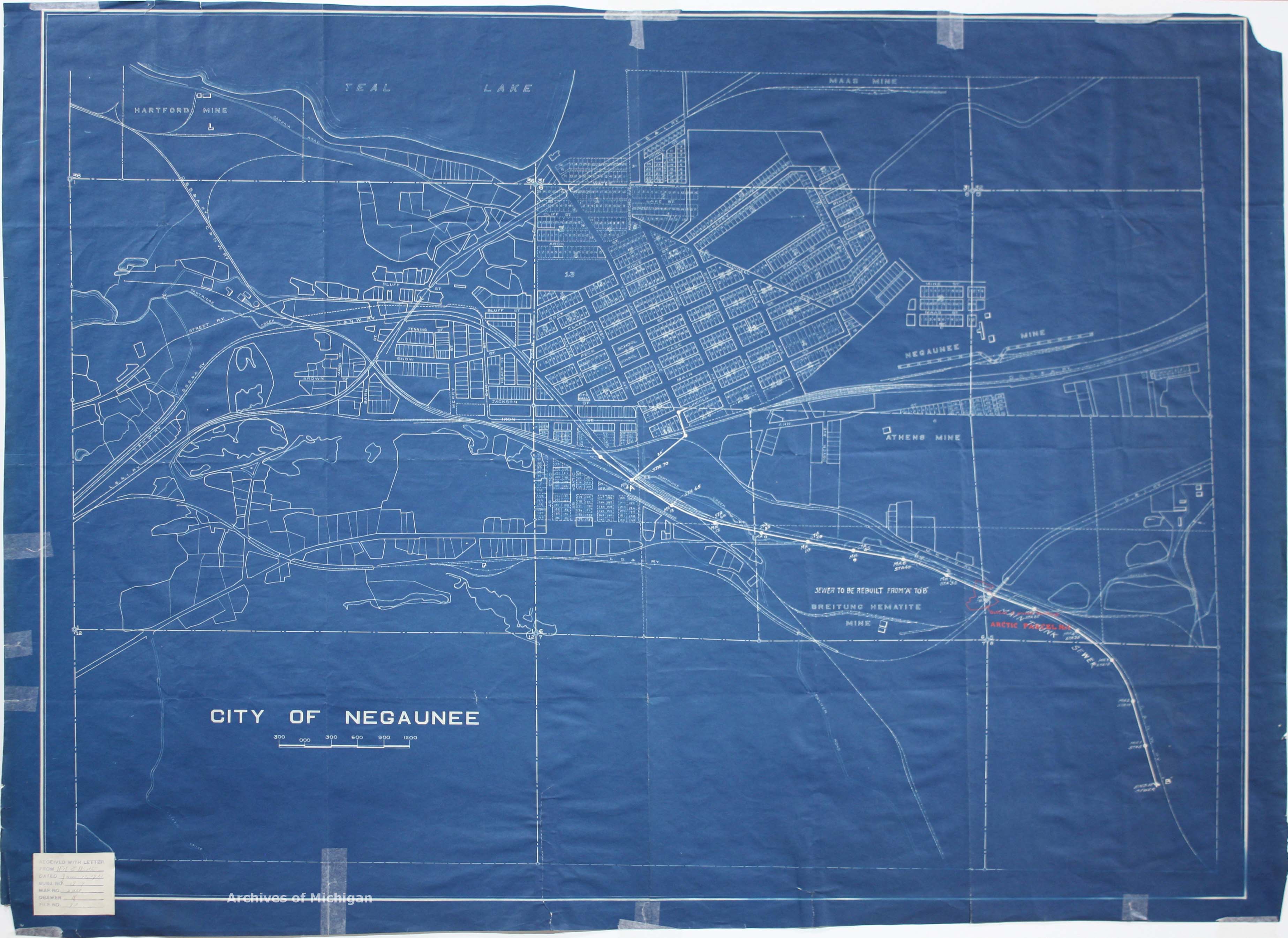
|
||||||||||||||||
|
City of Negaunee 1913 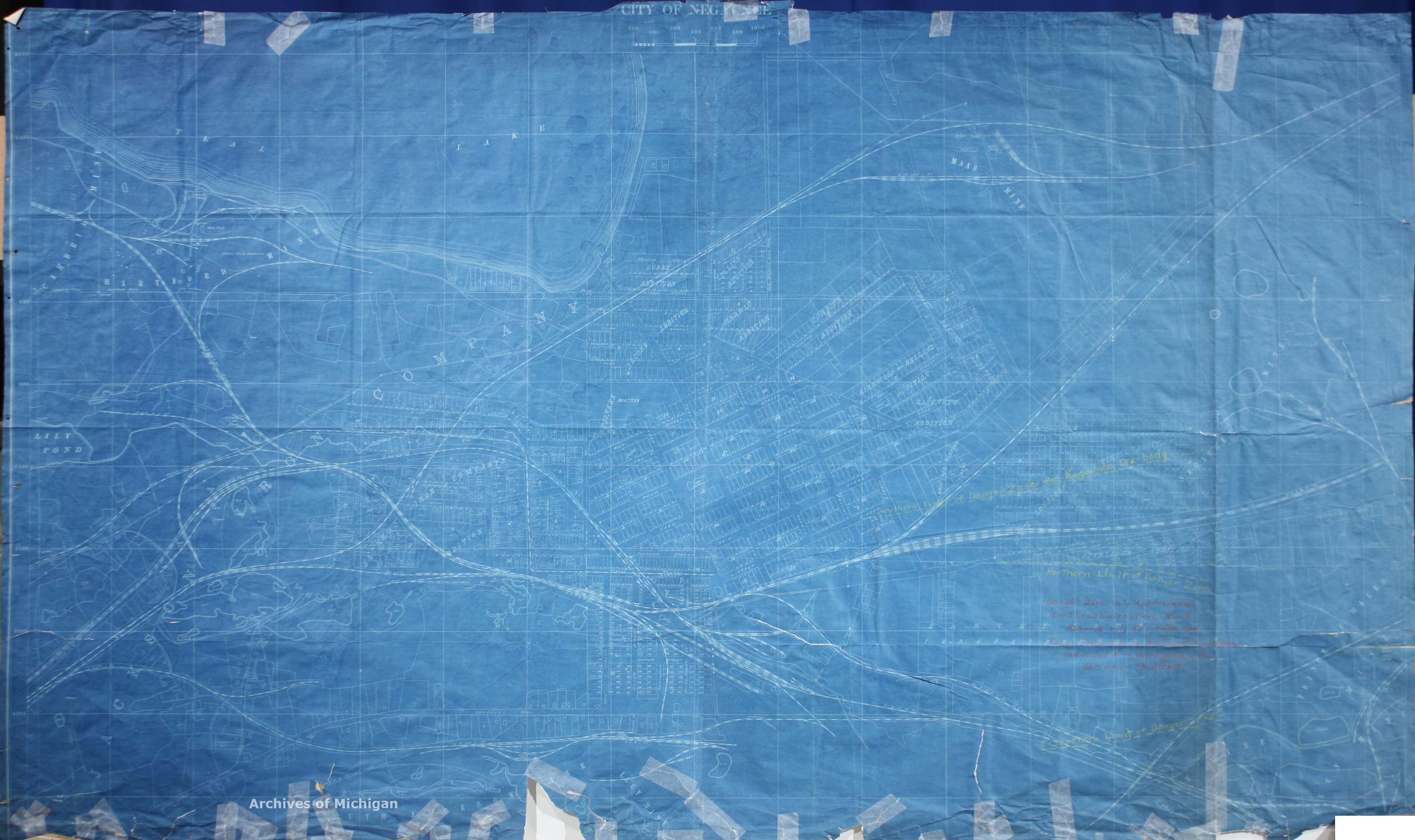
|
||||||||||||||||
|
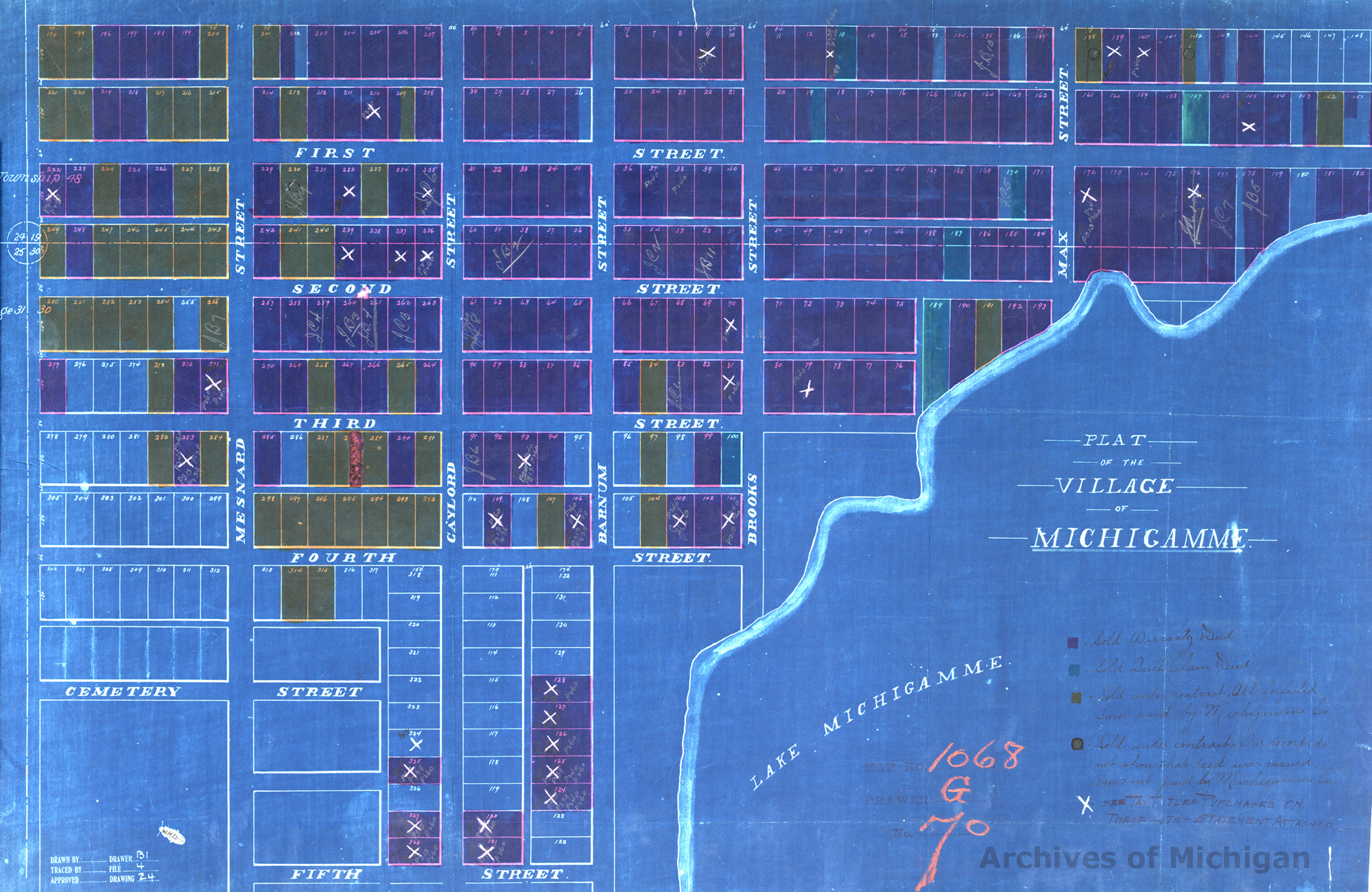
Plat of Village of Michigamme (2 maps) 1900 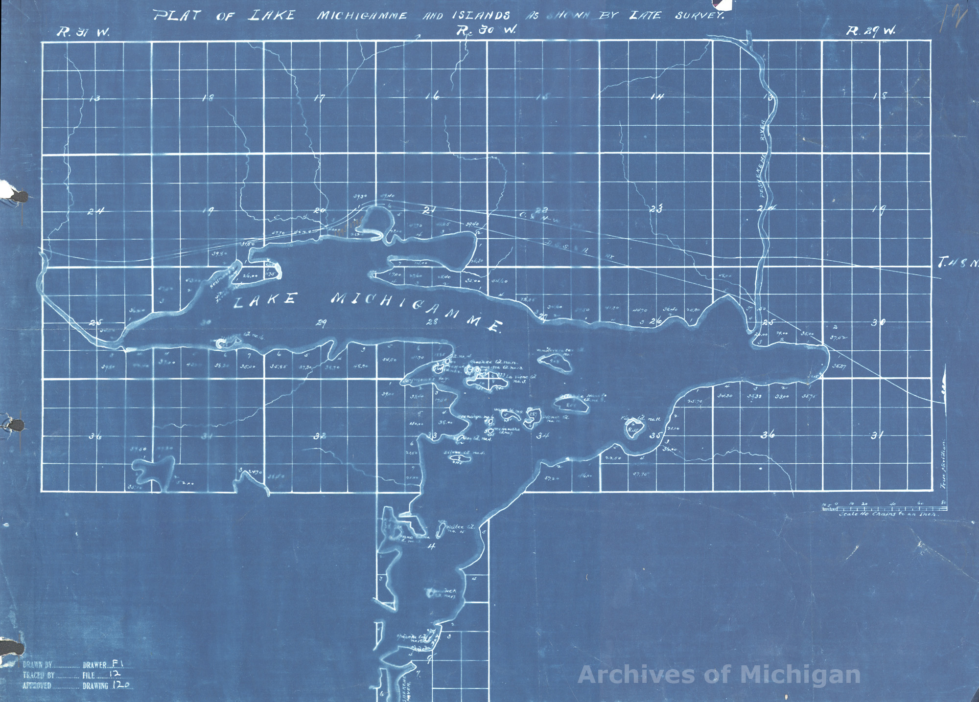
|
||||||||||||||||
|
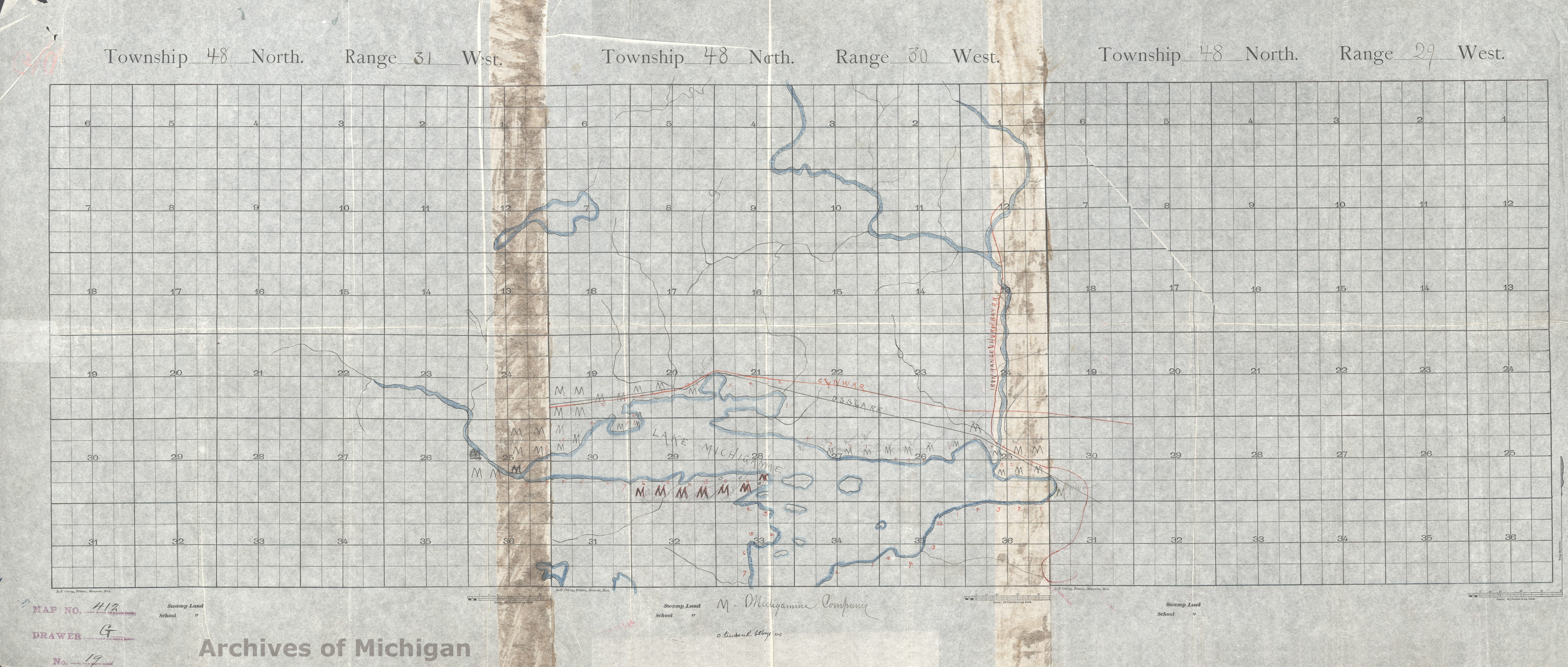
Plat of Michigamme Co's lands (2 maps) 1905 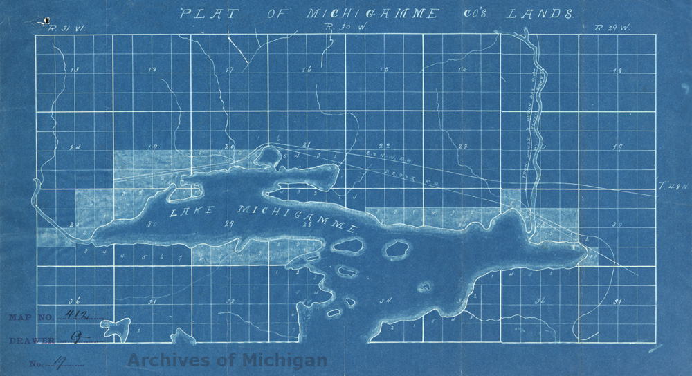
|
||||||||||||||||
|
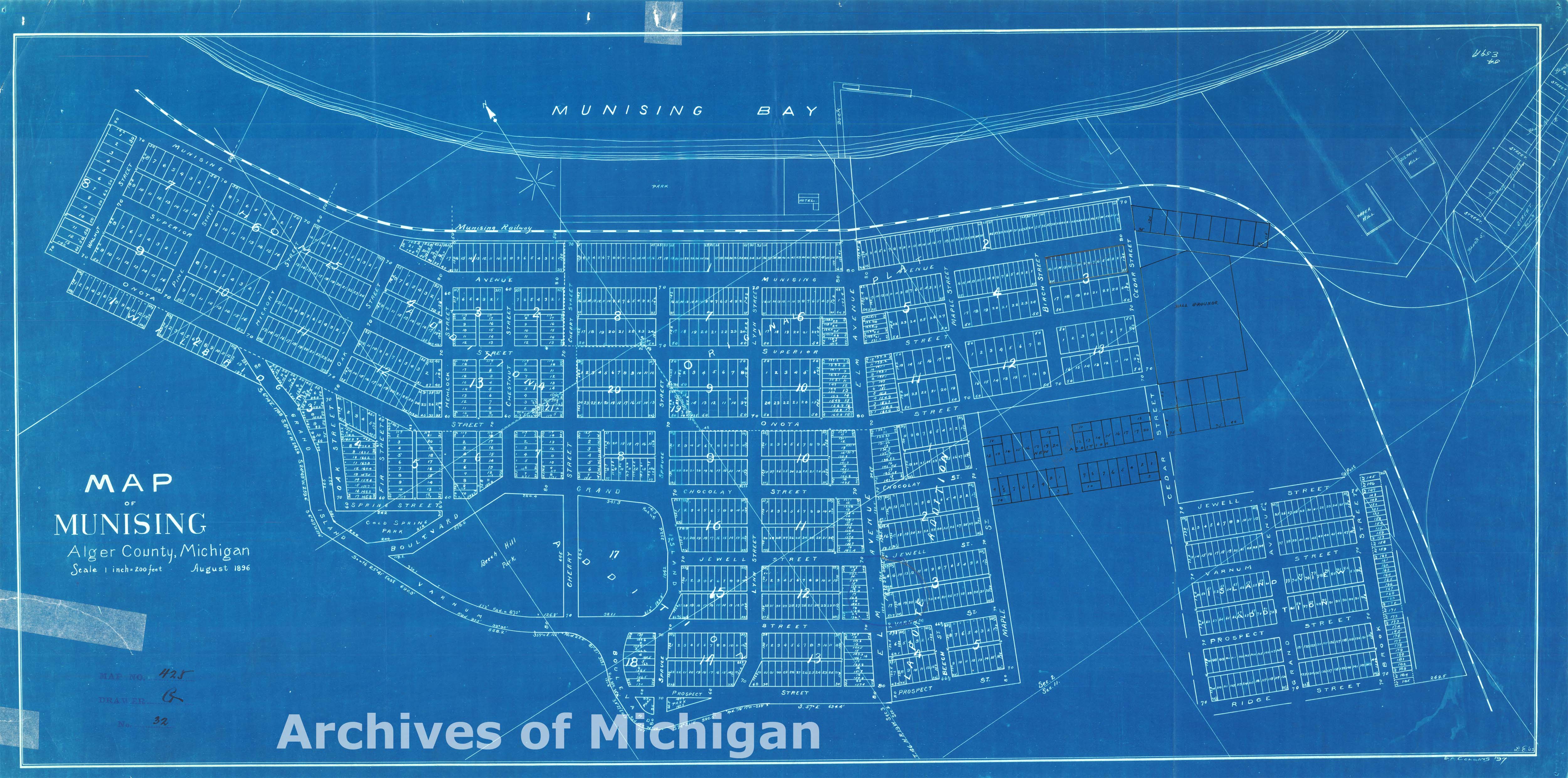
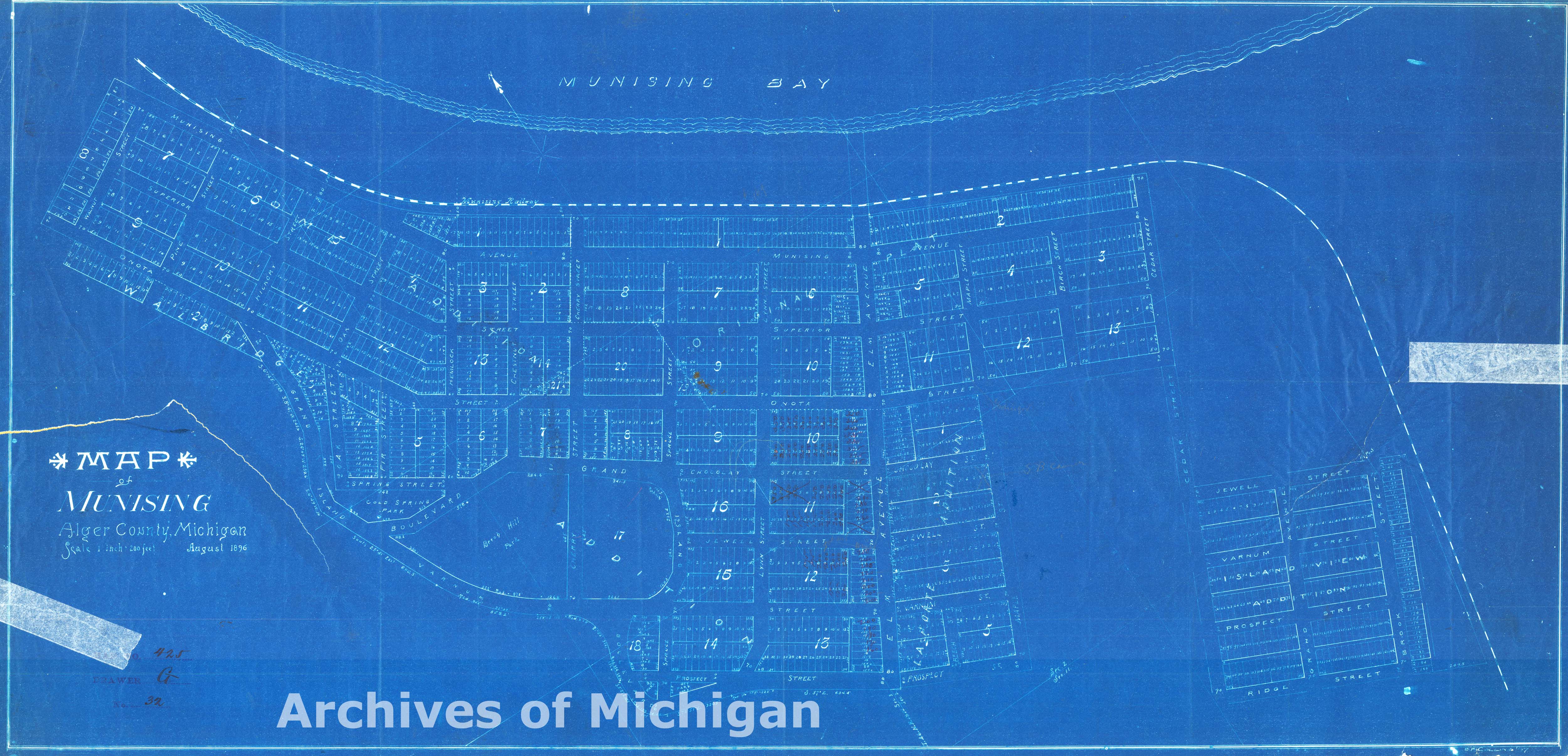
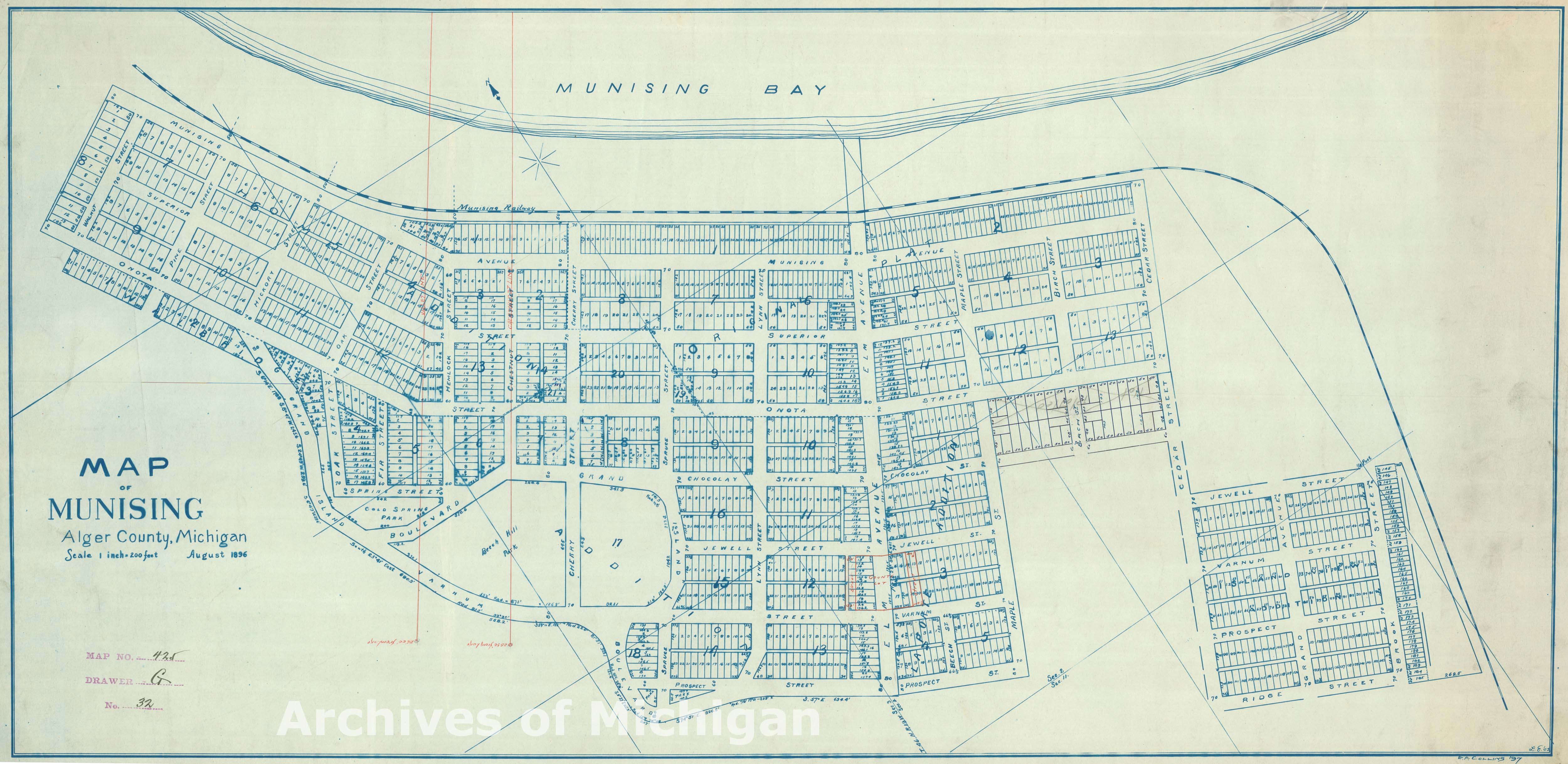
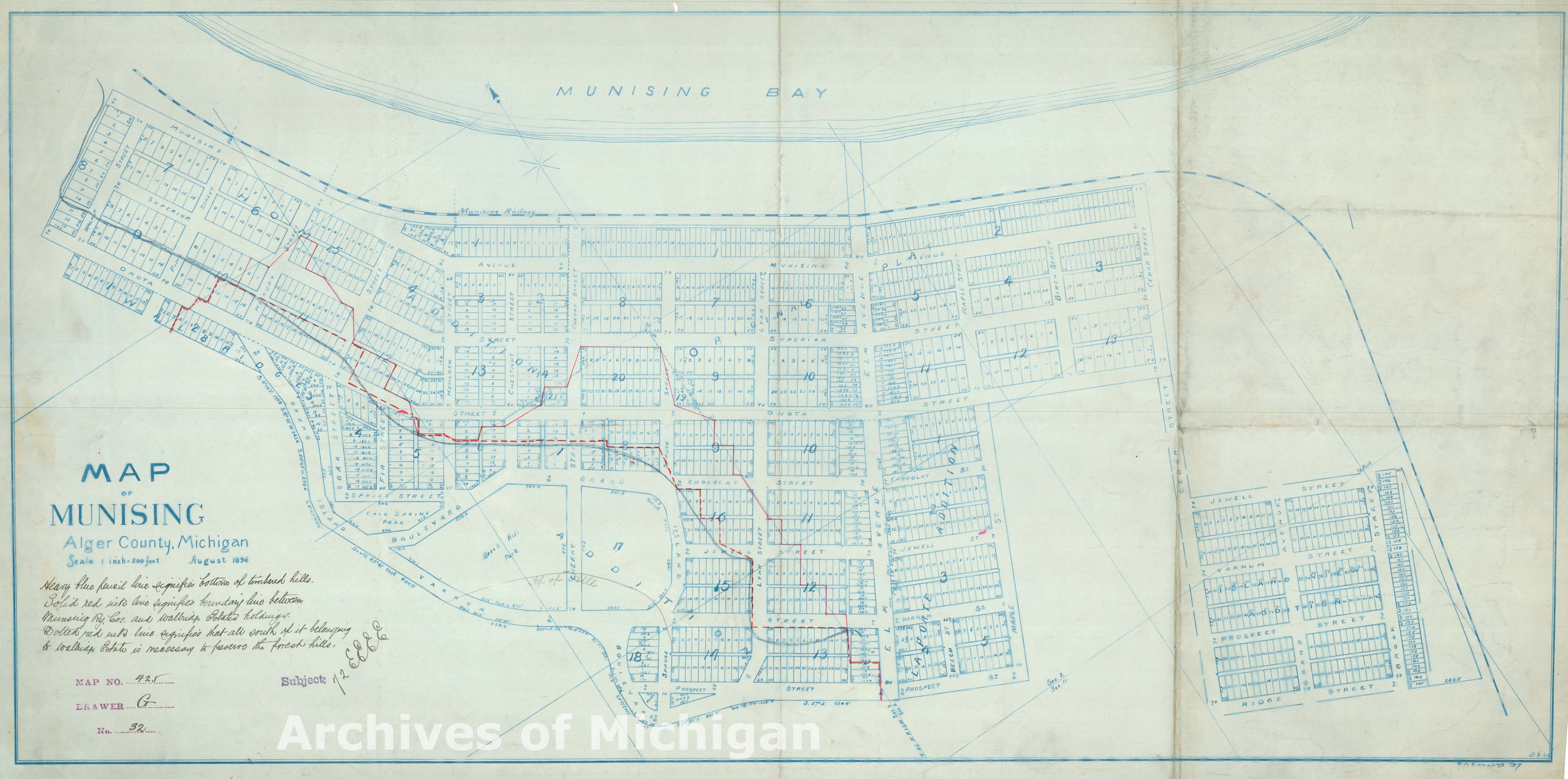
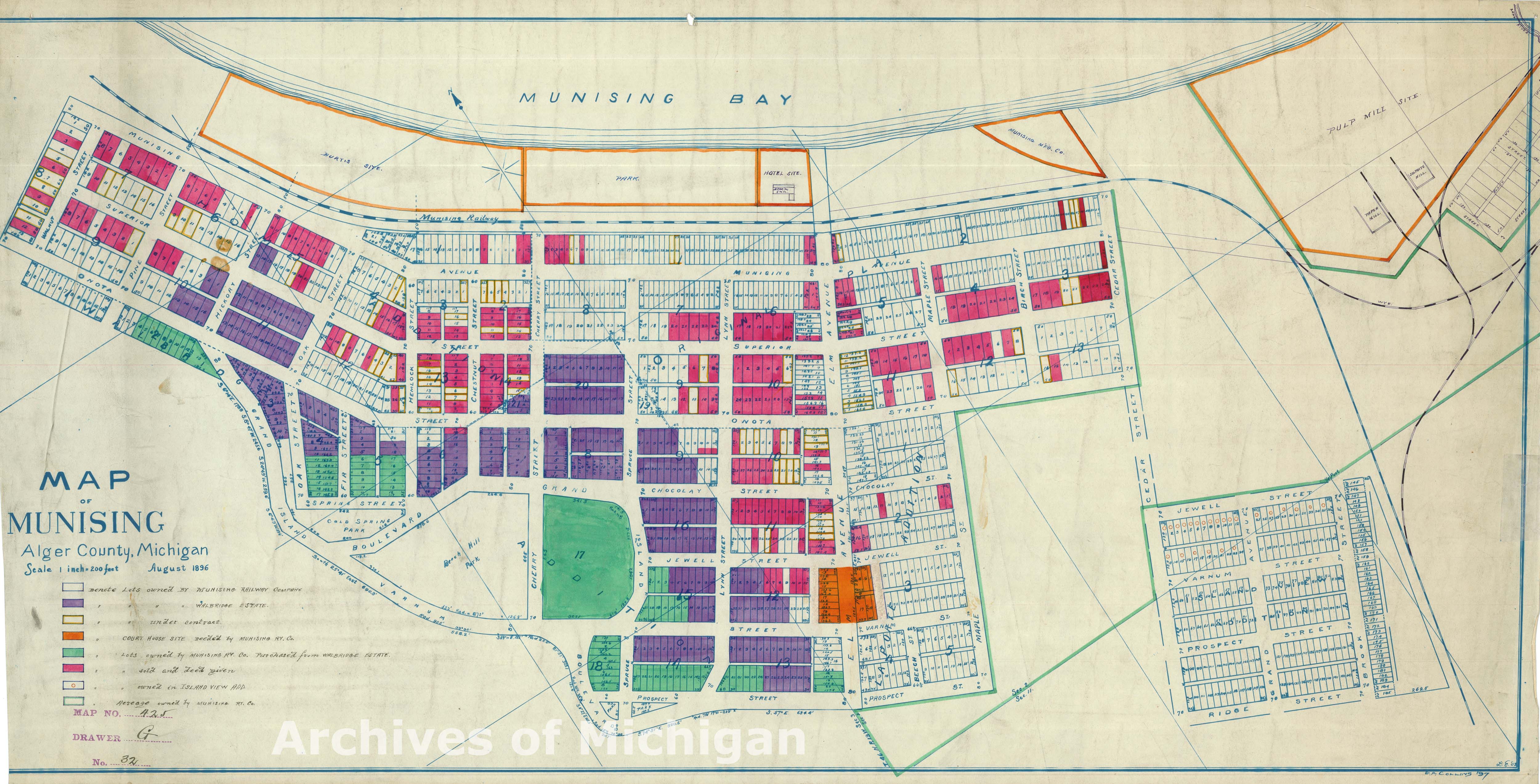
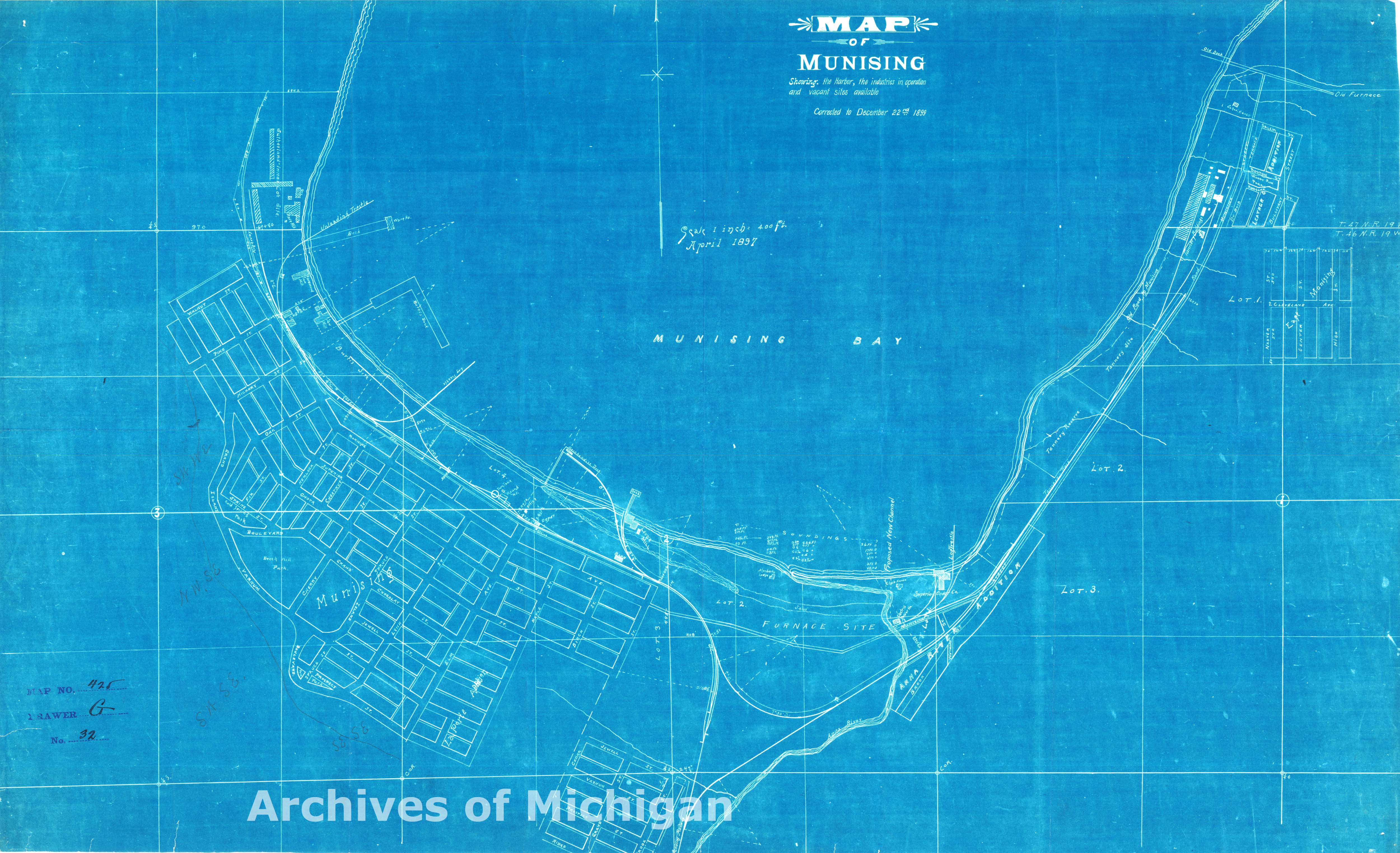
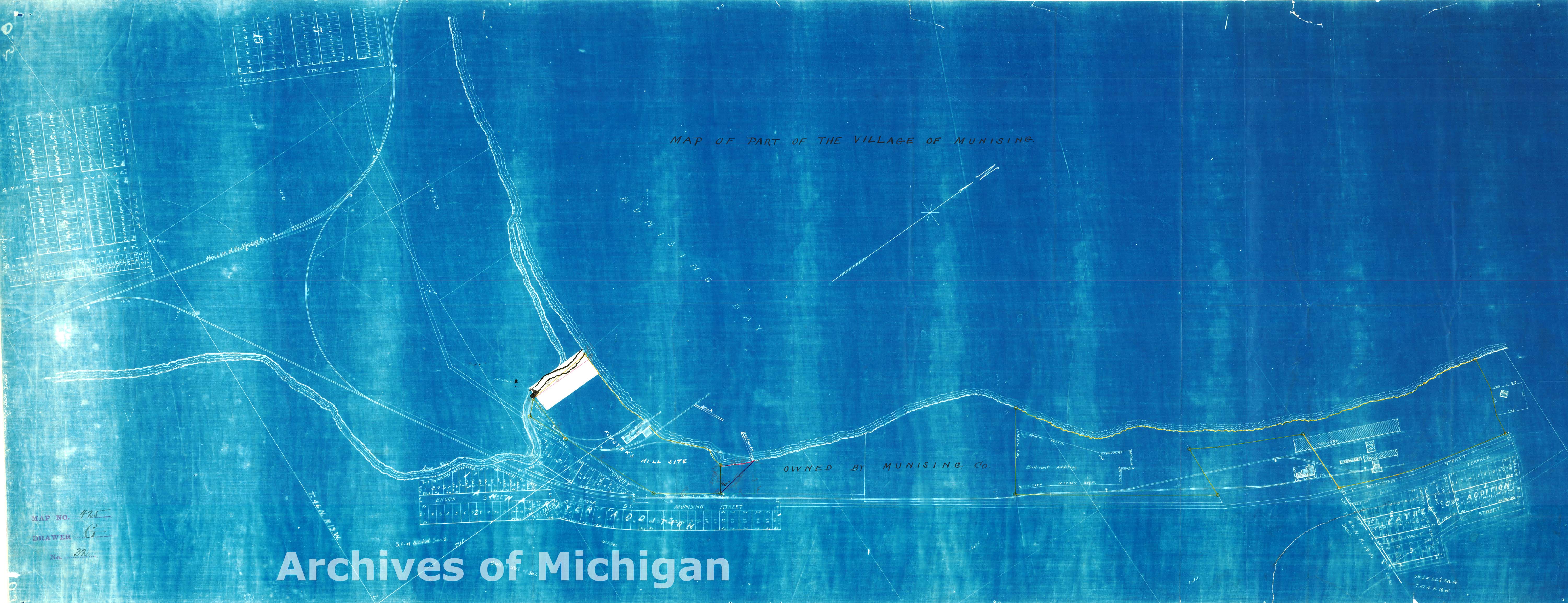
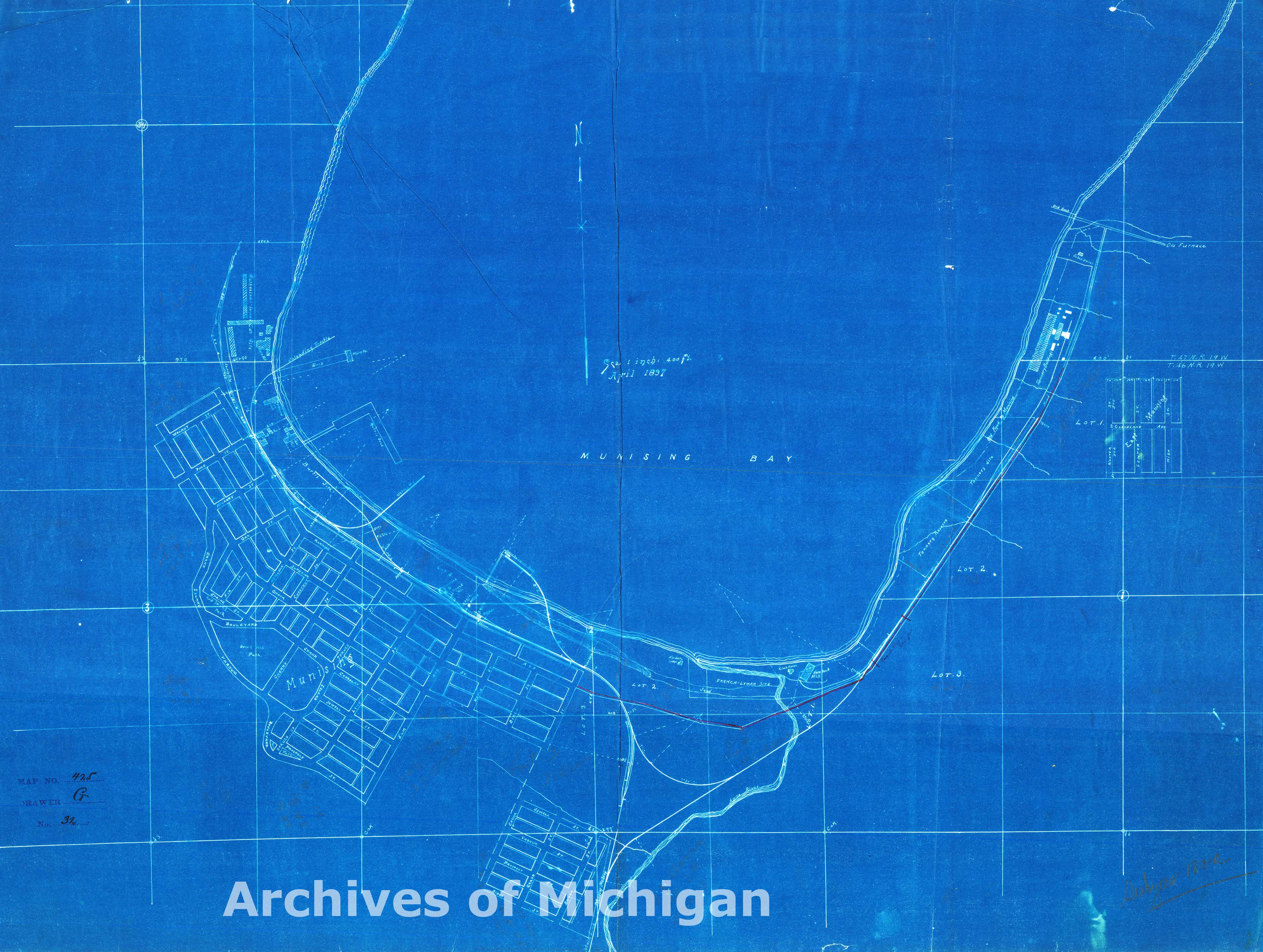
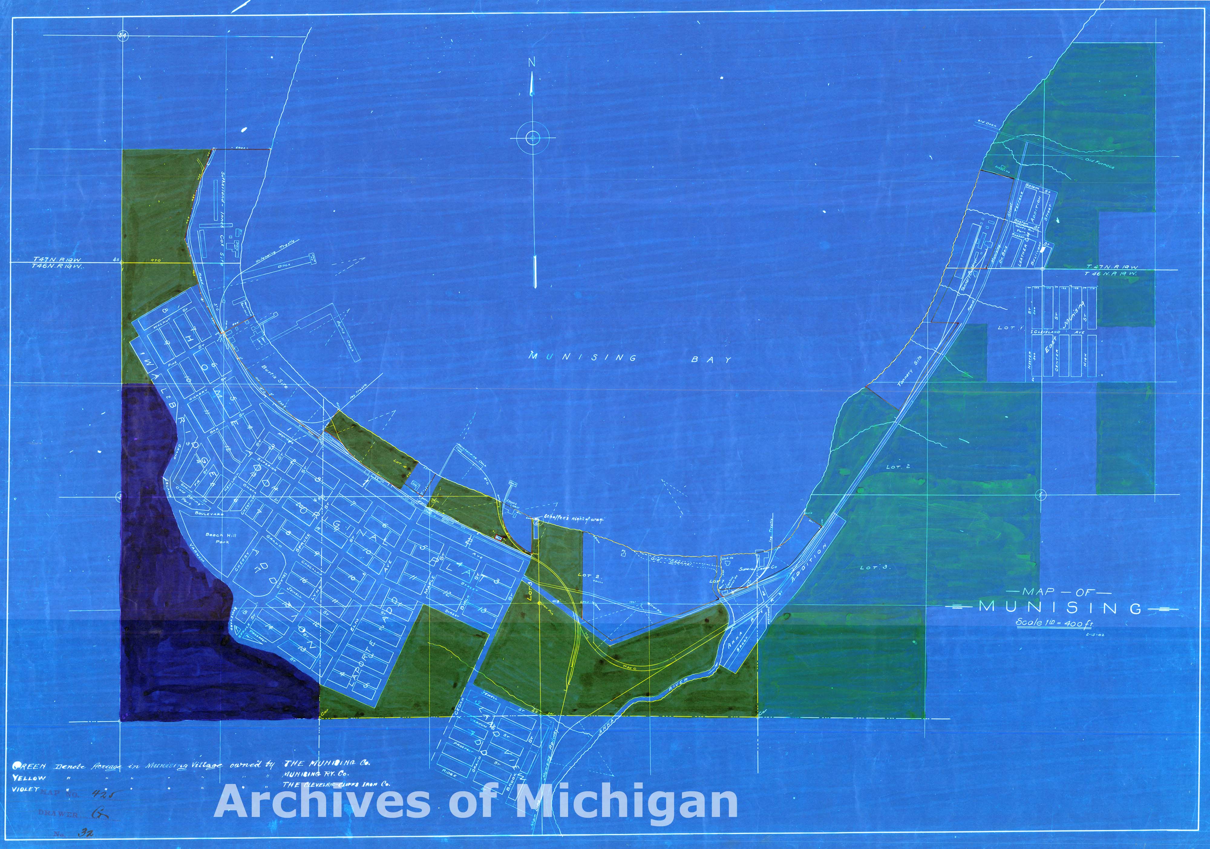
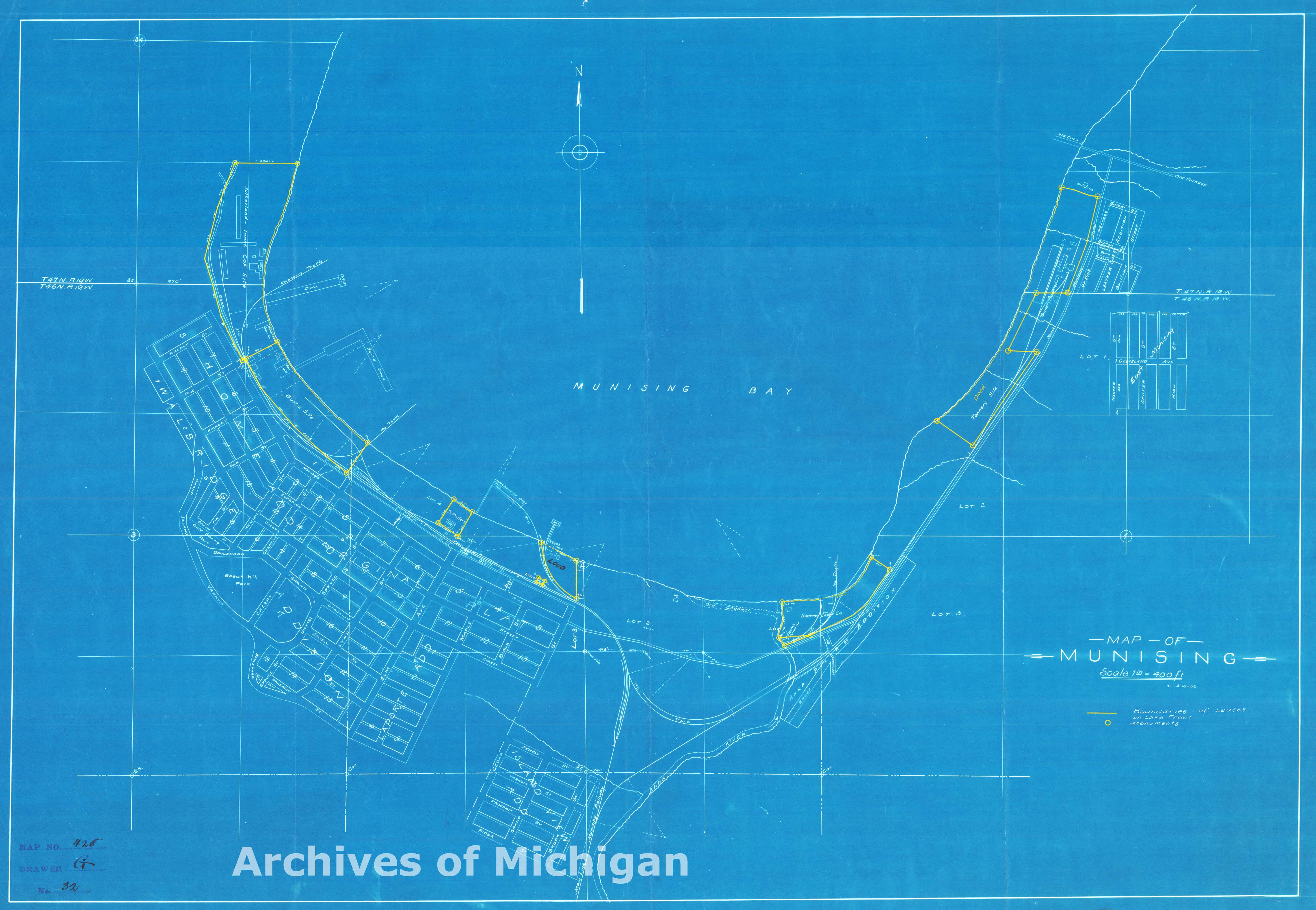
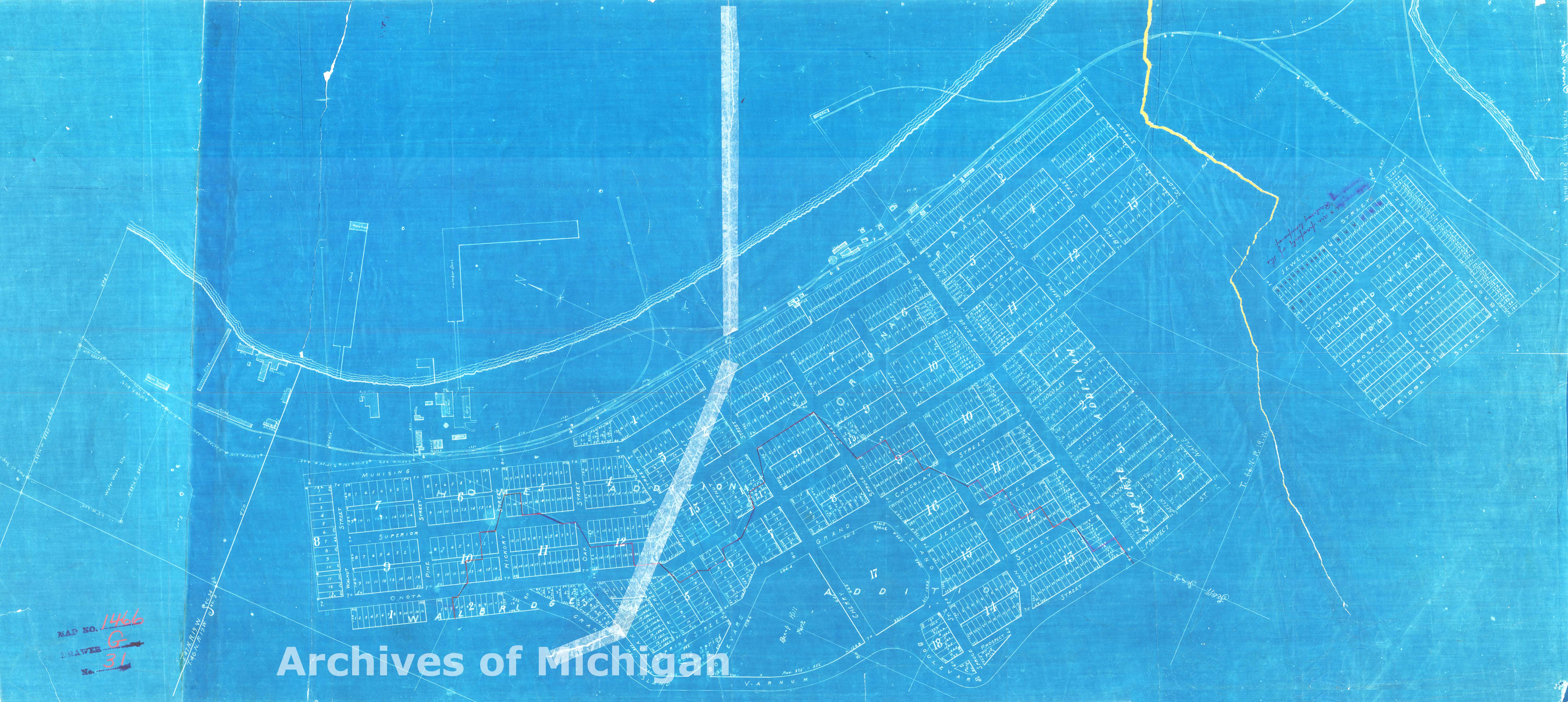
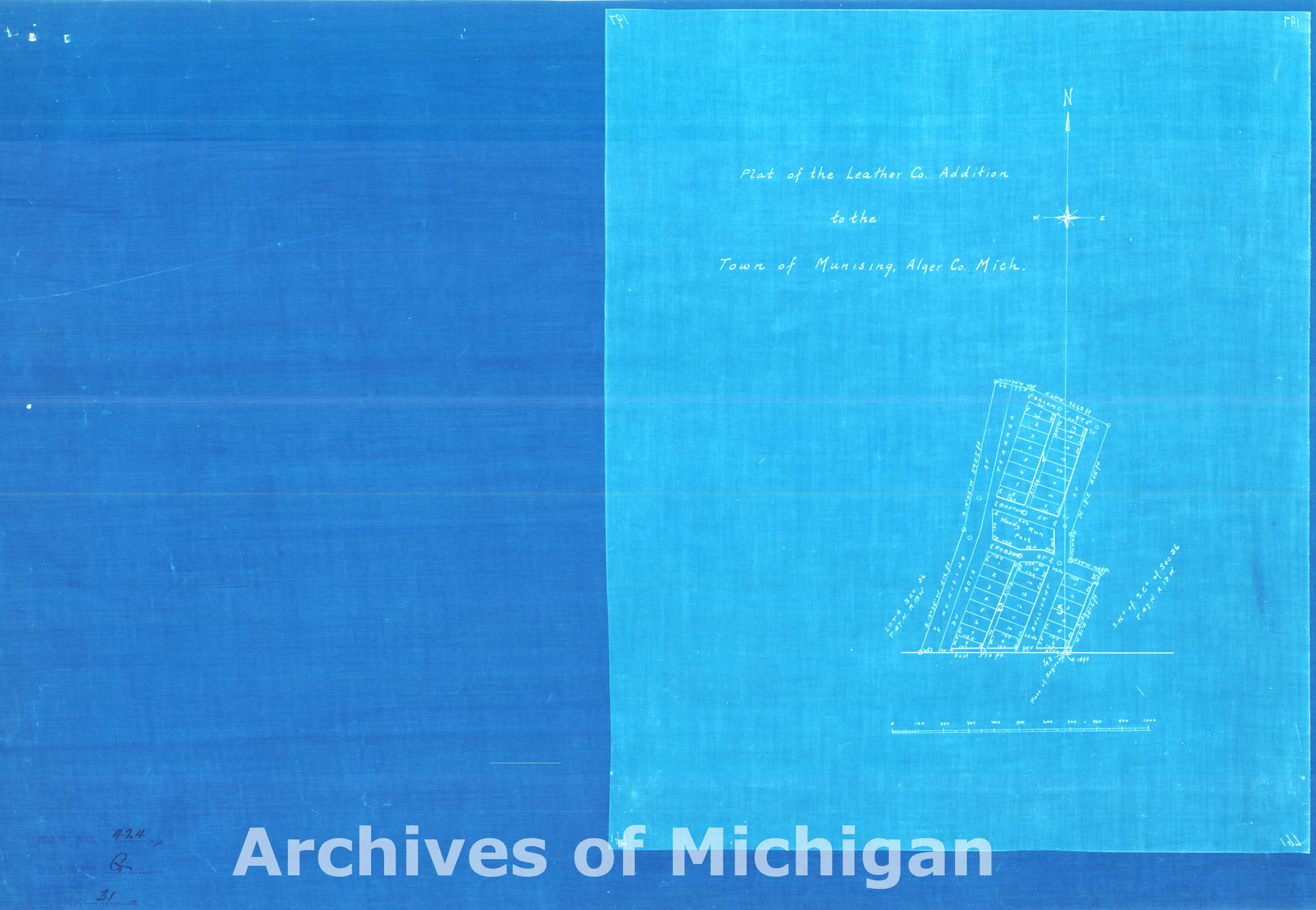
Maps of Munising (14 maps) 1886-1917 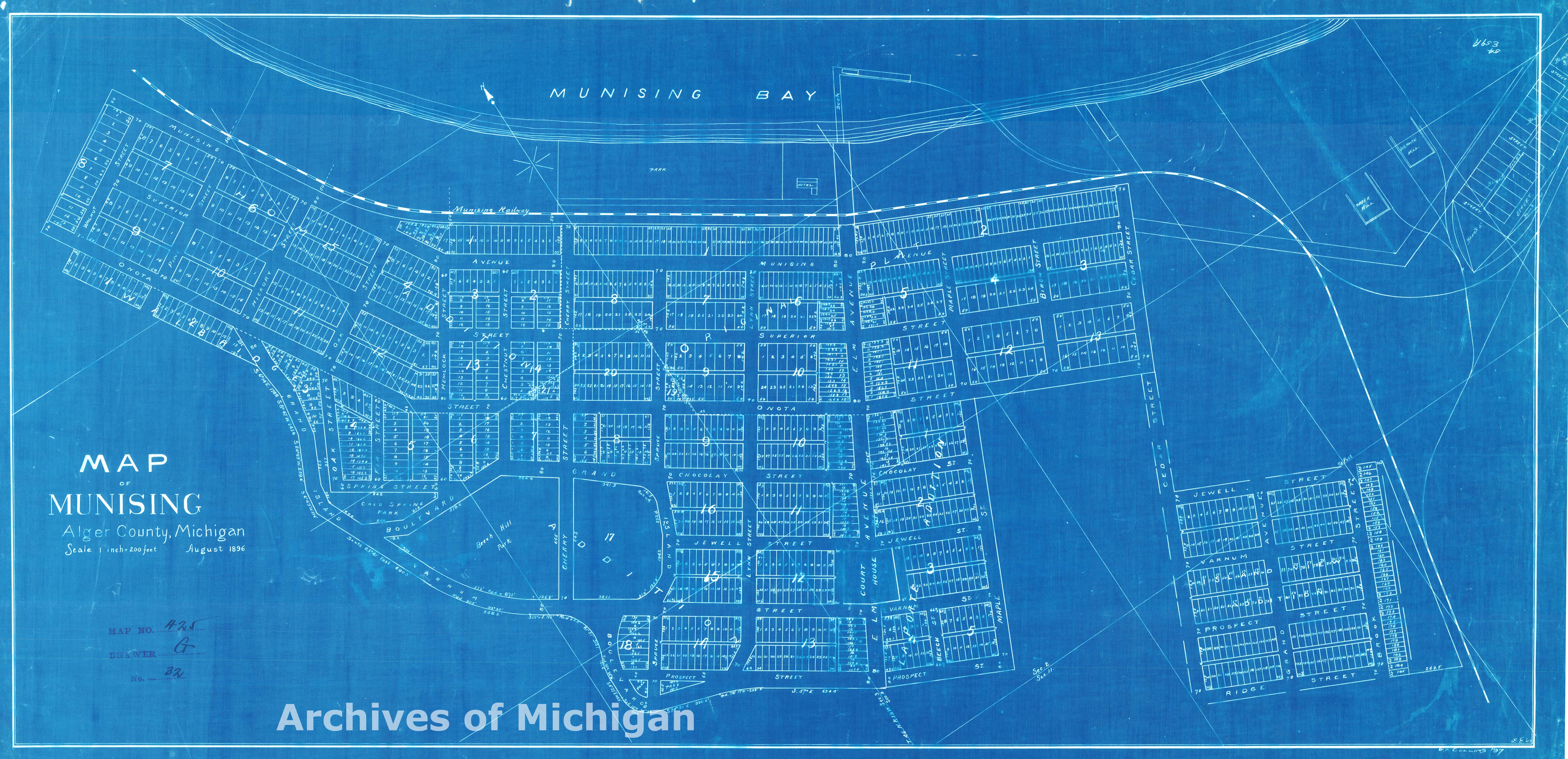

|
||||||||||||||||
|
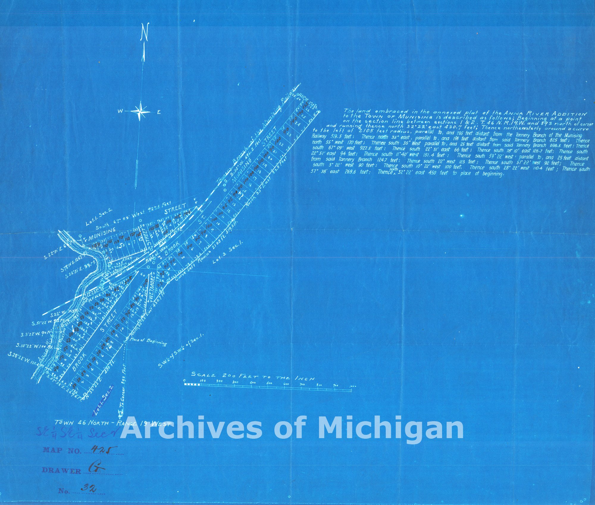
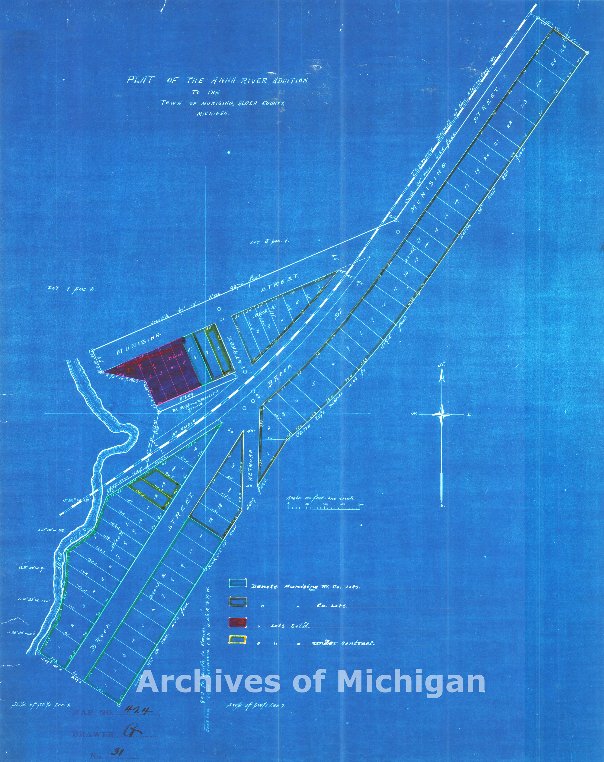
Plat of the Anna River Addition to the town of Munising, Alger County, Michigan (3 maps) 1910 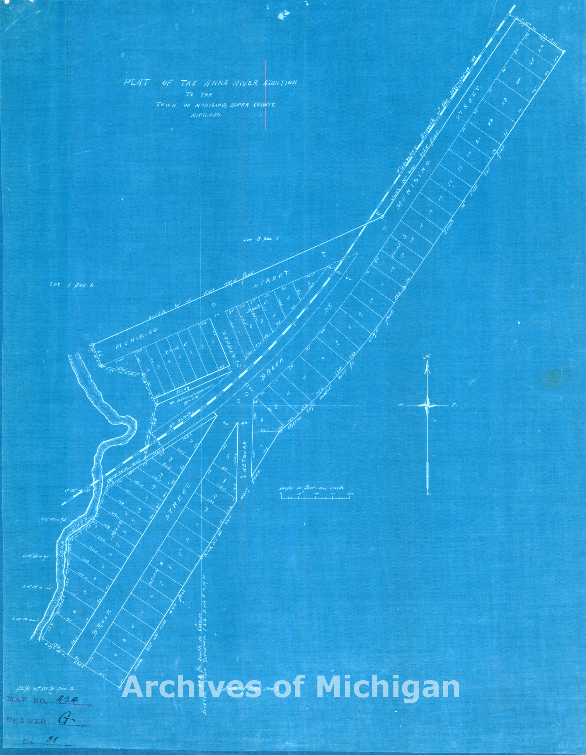
|
||||||||||||||||
|
Laponte Addition to Munising 1910 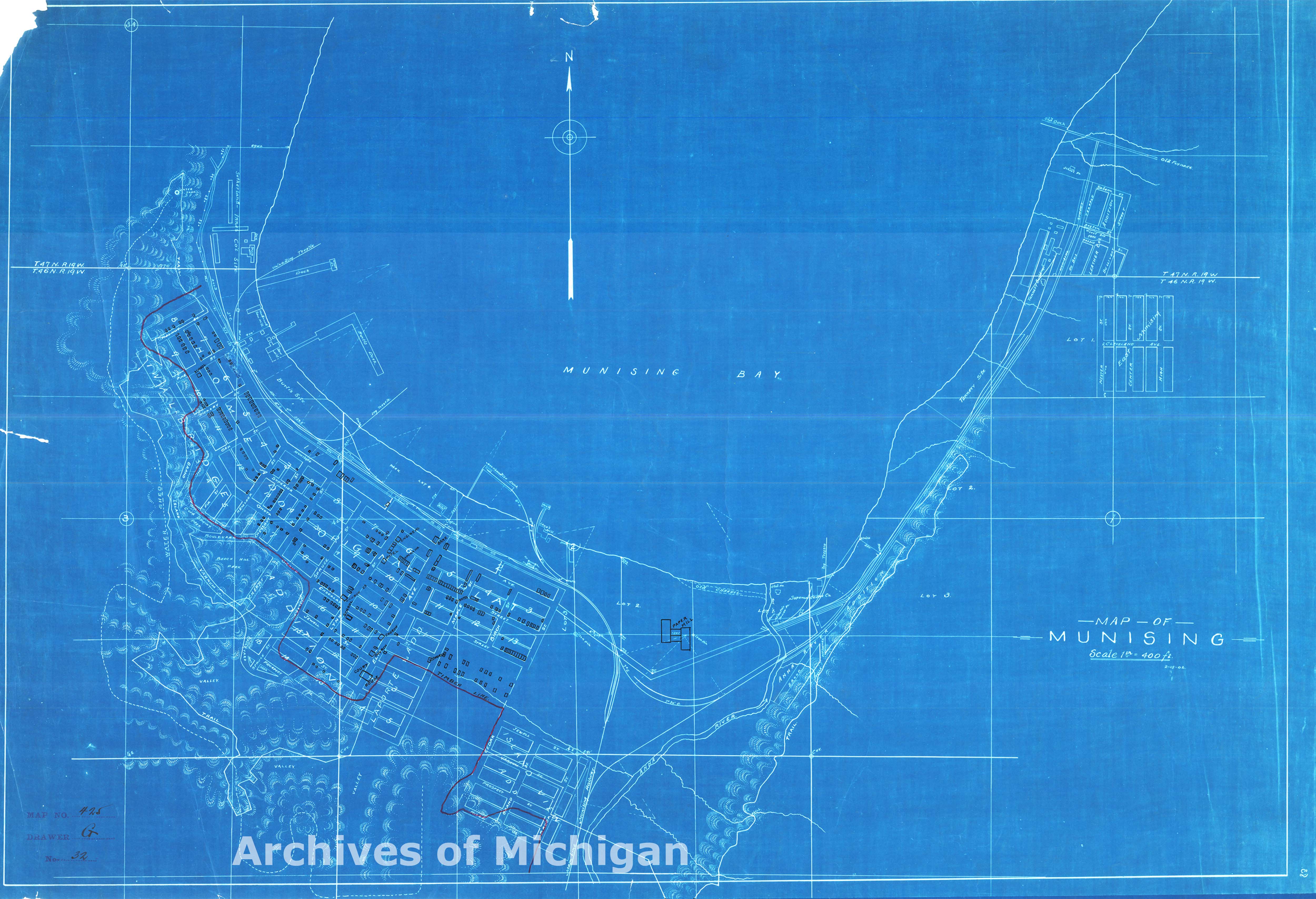
|
||||||||||||||||
|
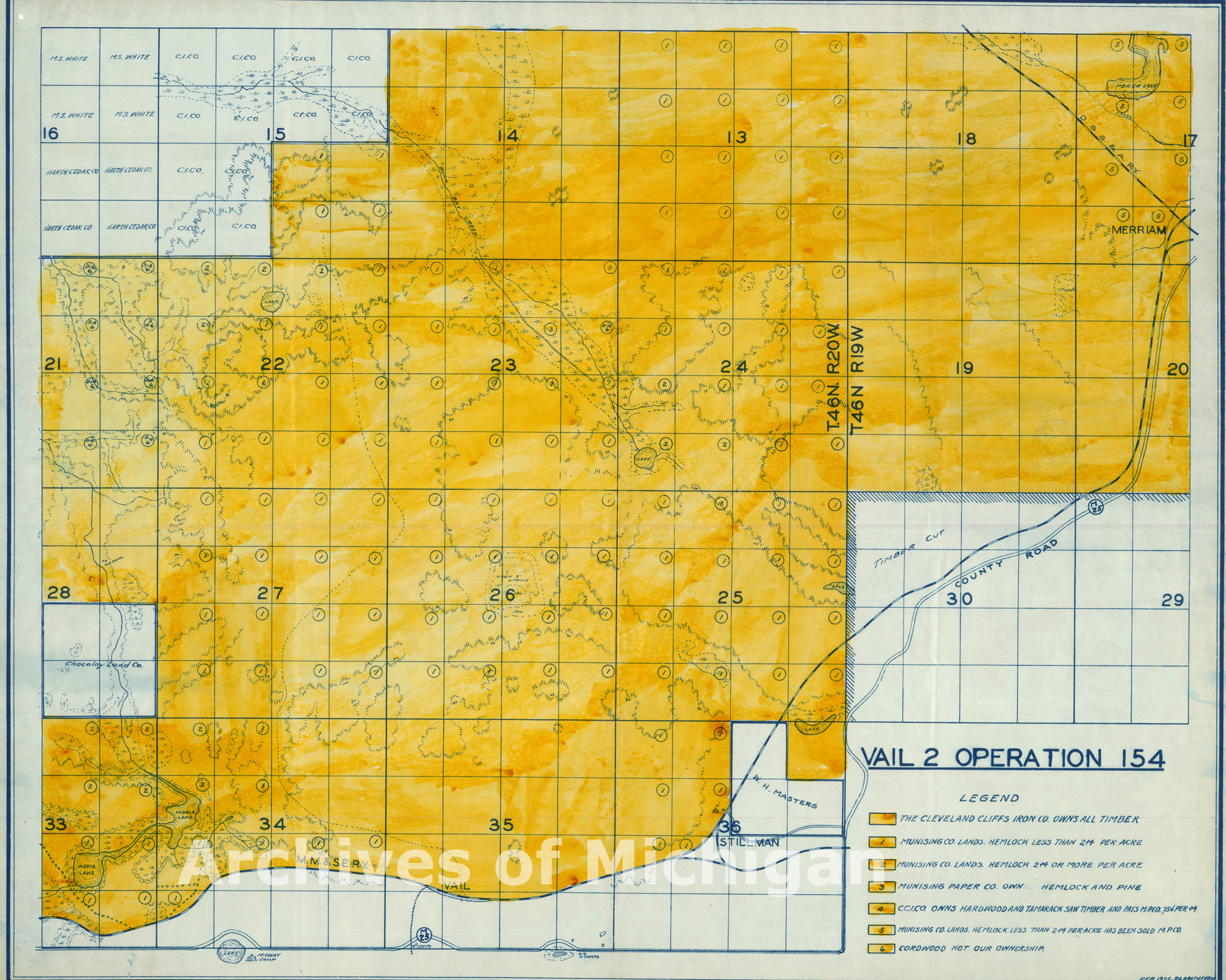
Vail 2 Operation -- Autrain 1925 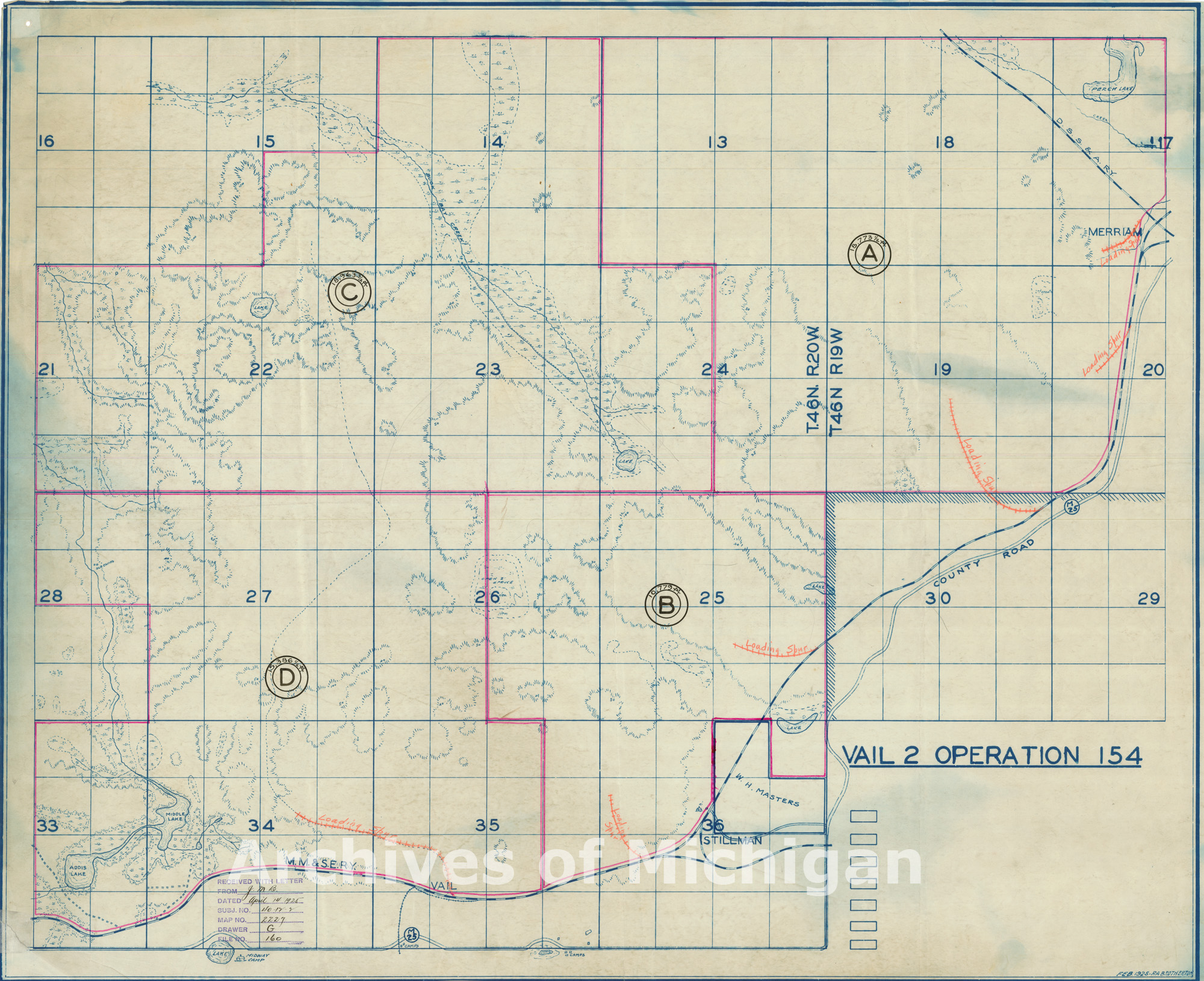
|
||||||||||||||||
|
Owners of Record on Marquette Iron Range, Between Dexter Mine and Ishpeming, Michigan 1916 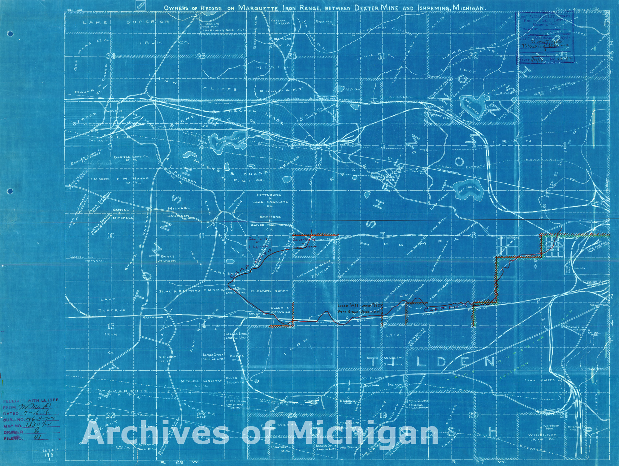
|
||||||||||||||||
|
Map showing ownership in section 18 and parts of sections 17, 19 and 20 T. 47 NR. 26 W-Richmond Township 1910 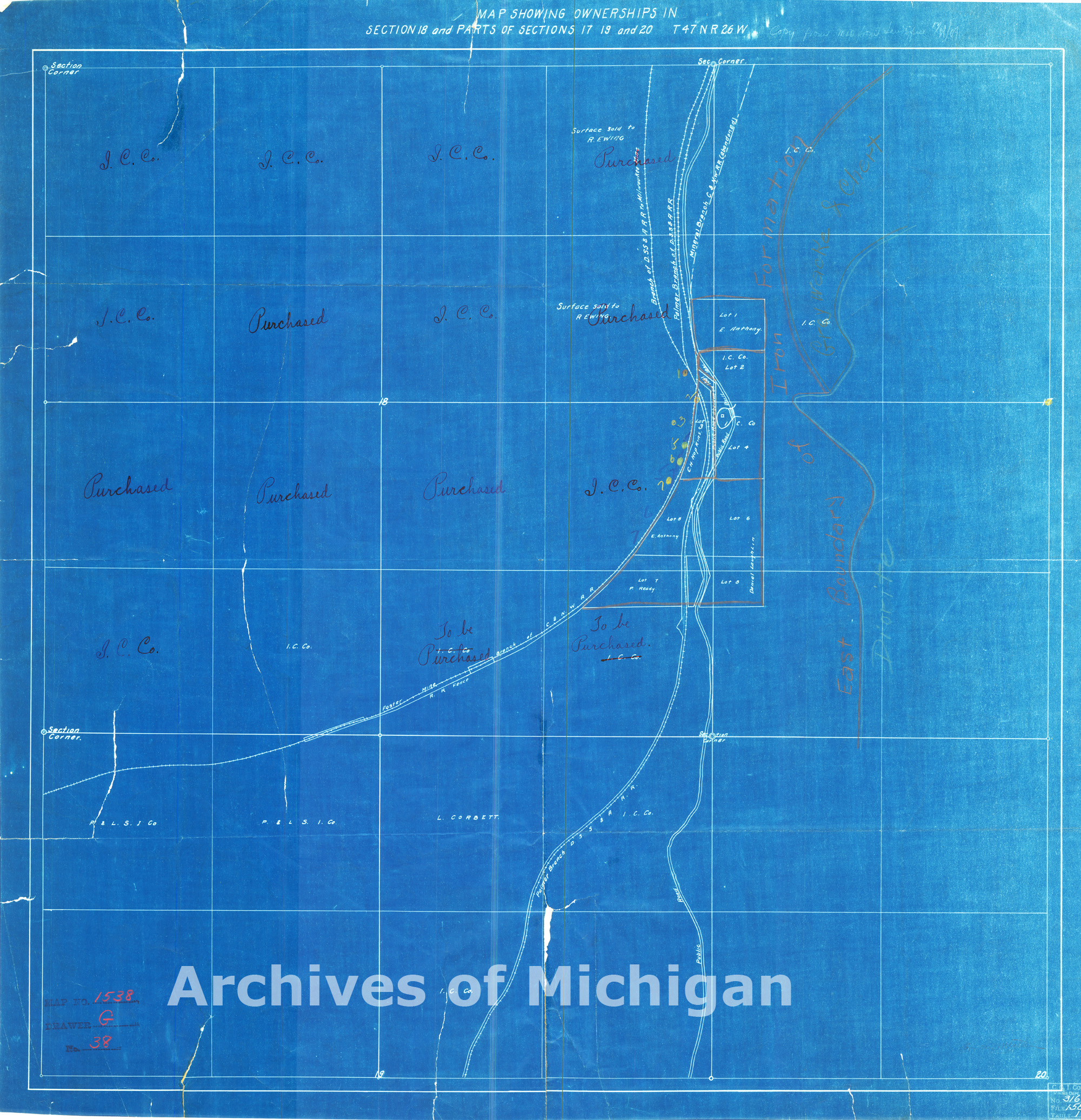
|
||||||||||||||||
|
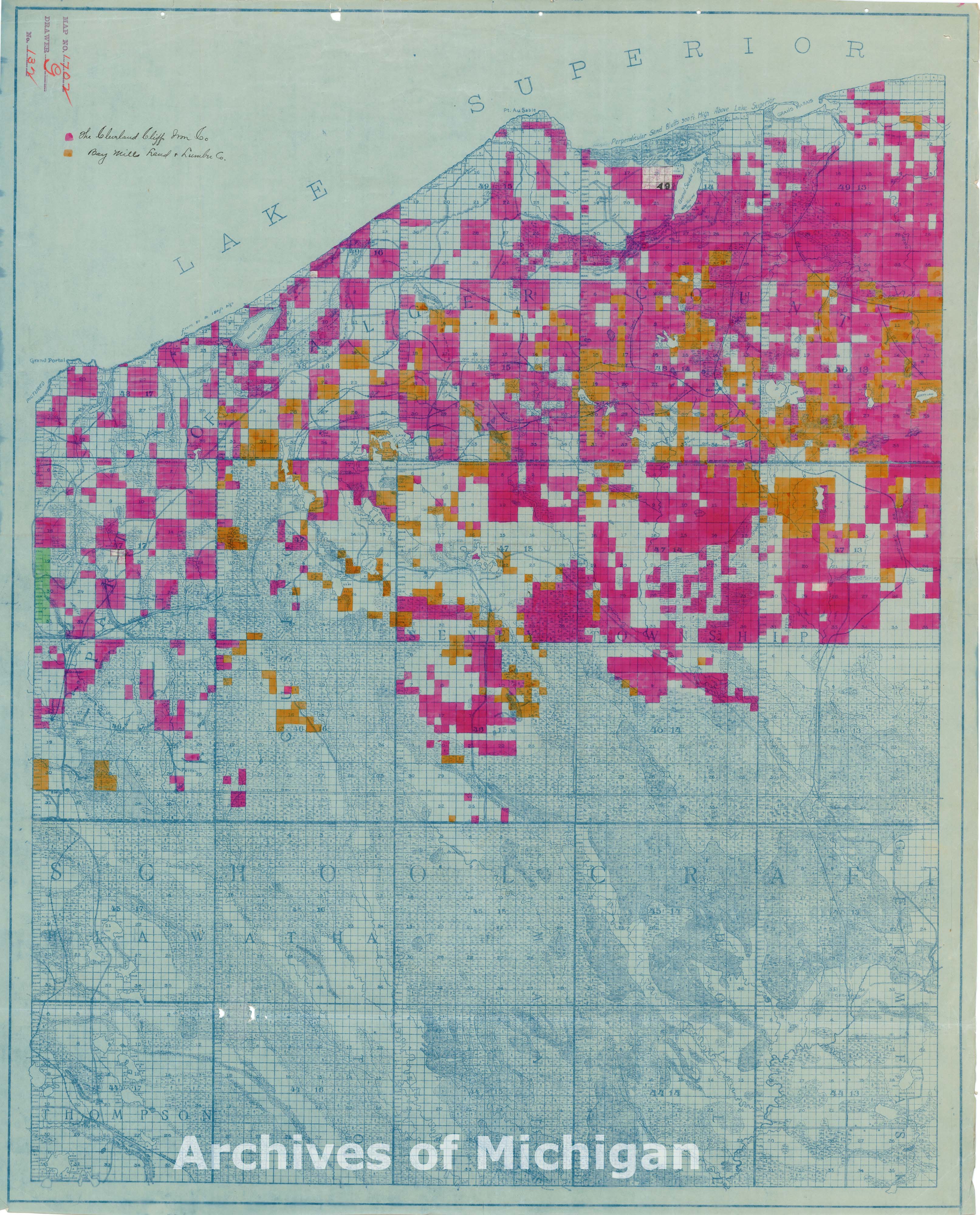
Alger County 1915 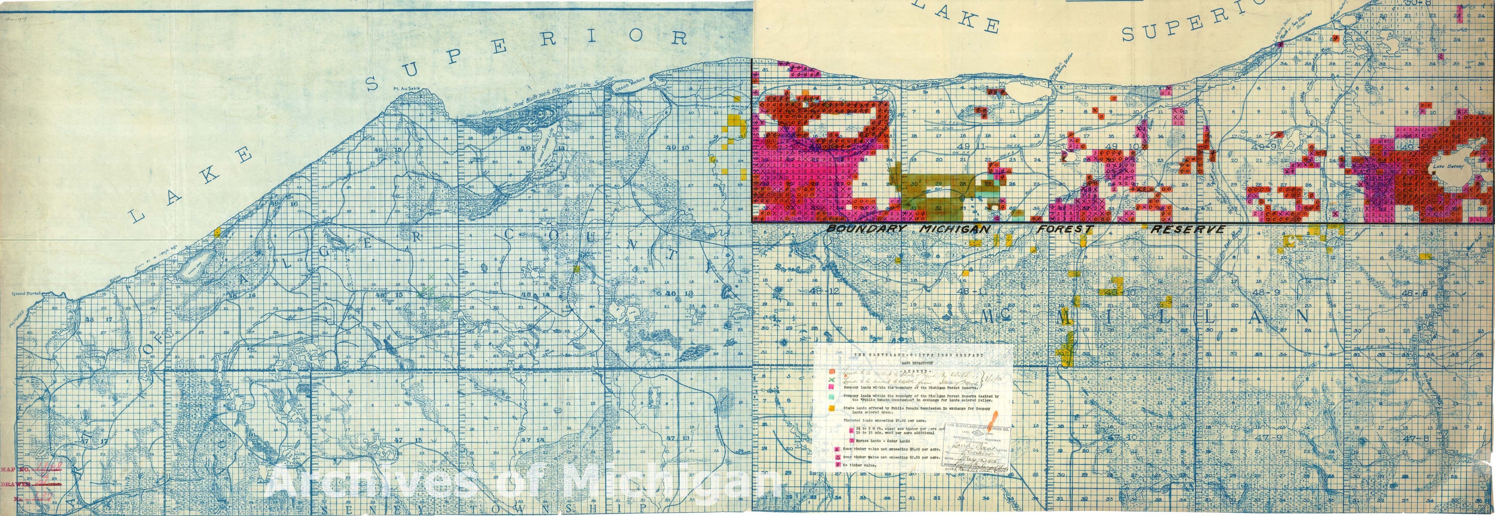
|
||||||||||||||||
|
Fox River Burning-Alger and Luce County 1912 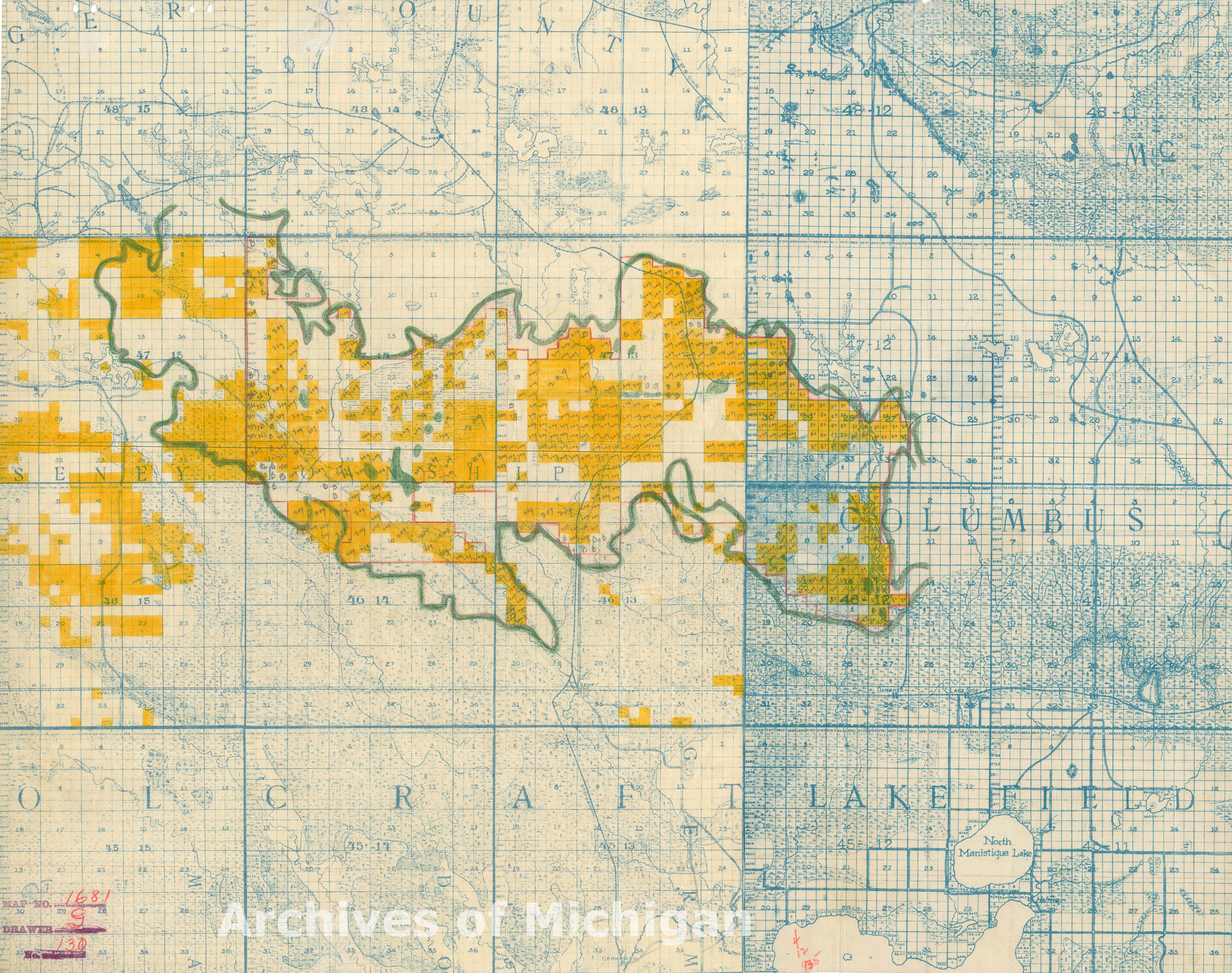
|
||||||||||||||||
|
Alger and Schoolcraft Counties-Ownership of Lands Along Autrain River 1908 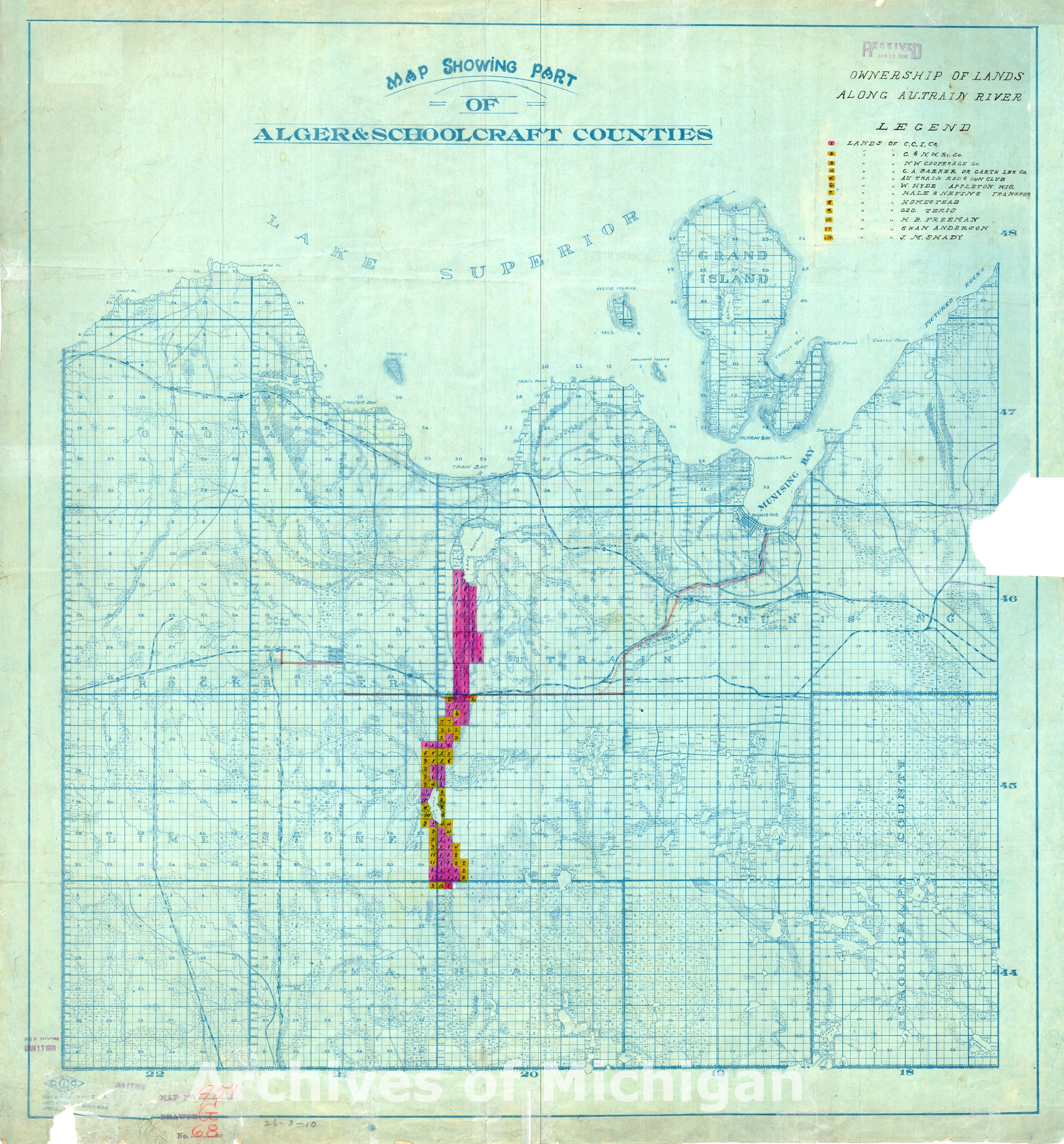
|
||||||||||||||||
|
Part of Alger County 1912 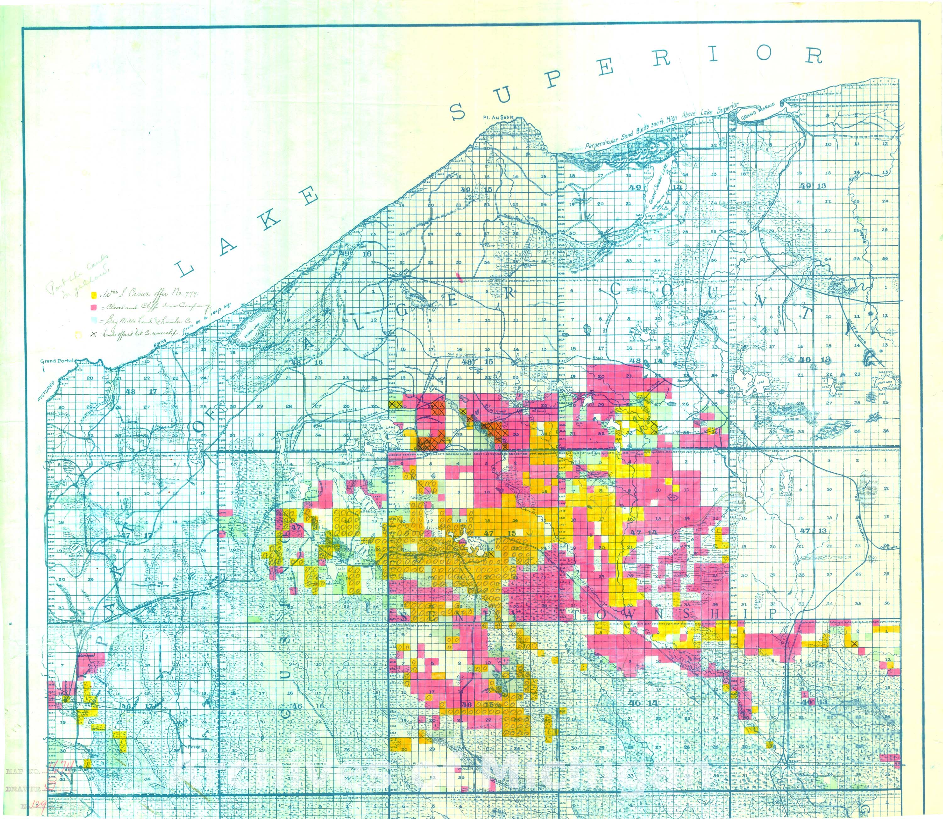
|
||||||||||||||||
|
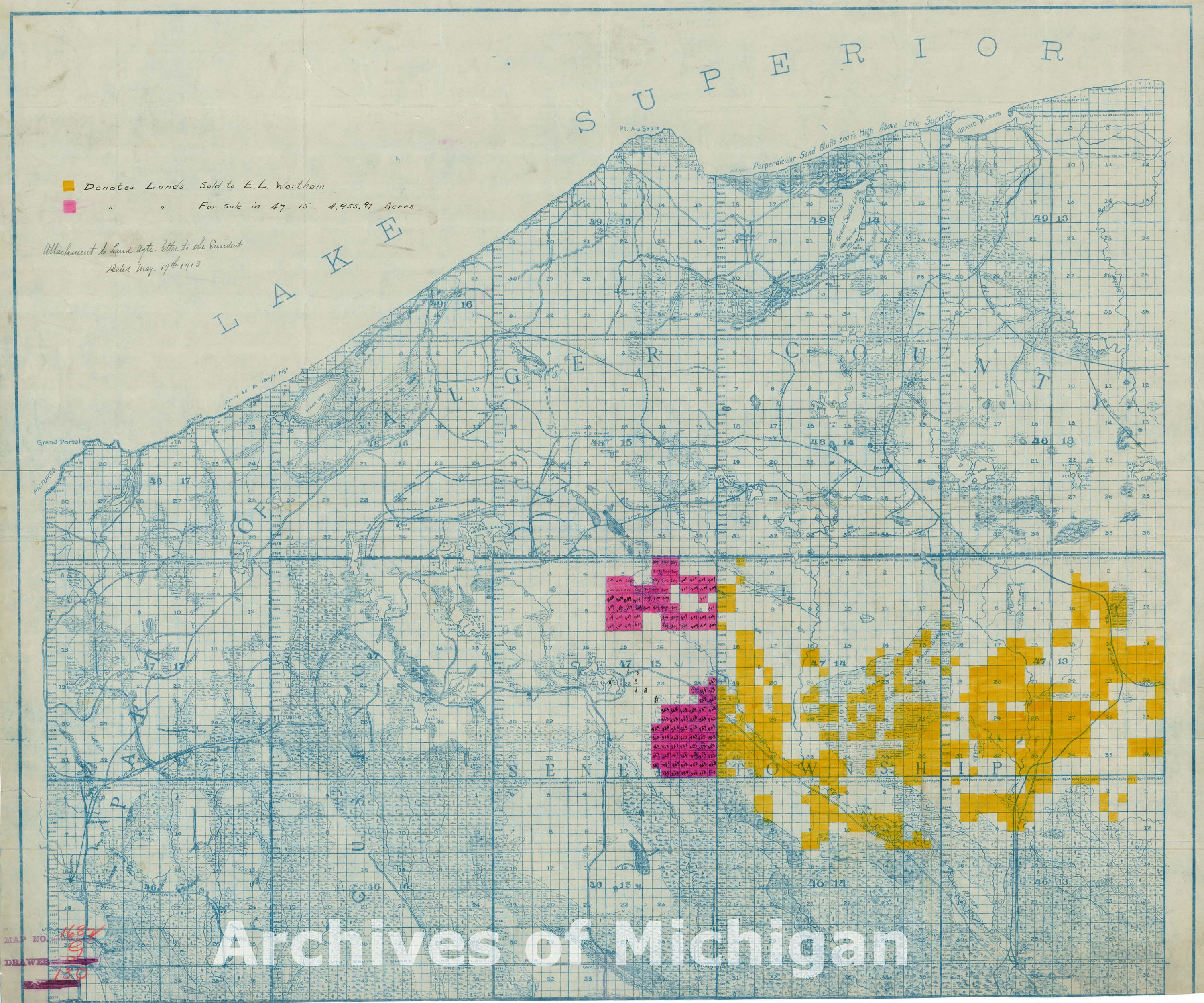
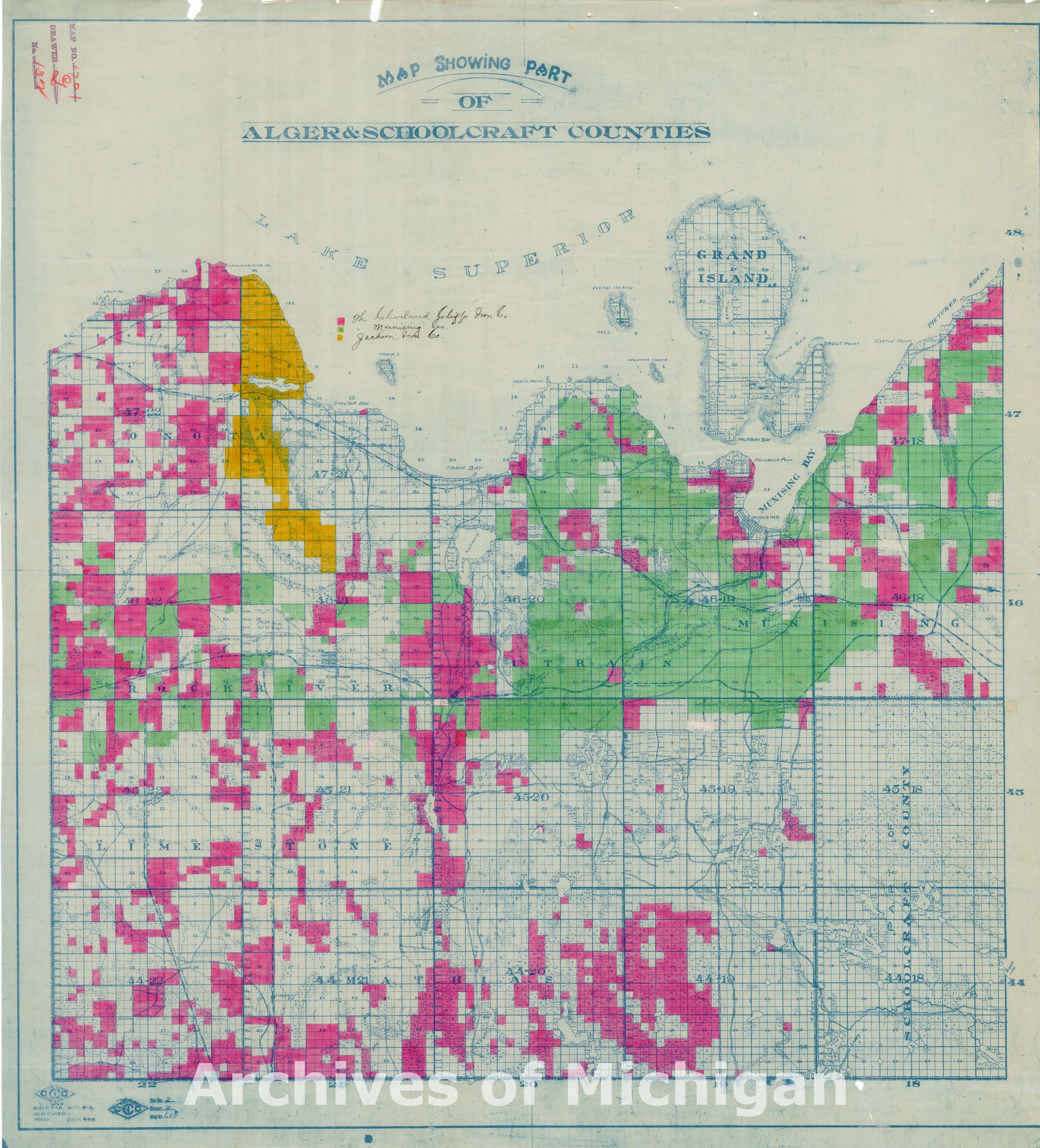
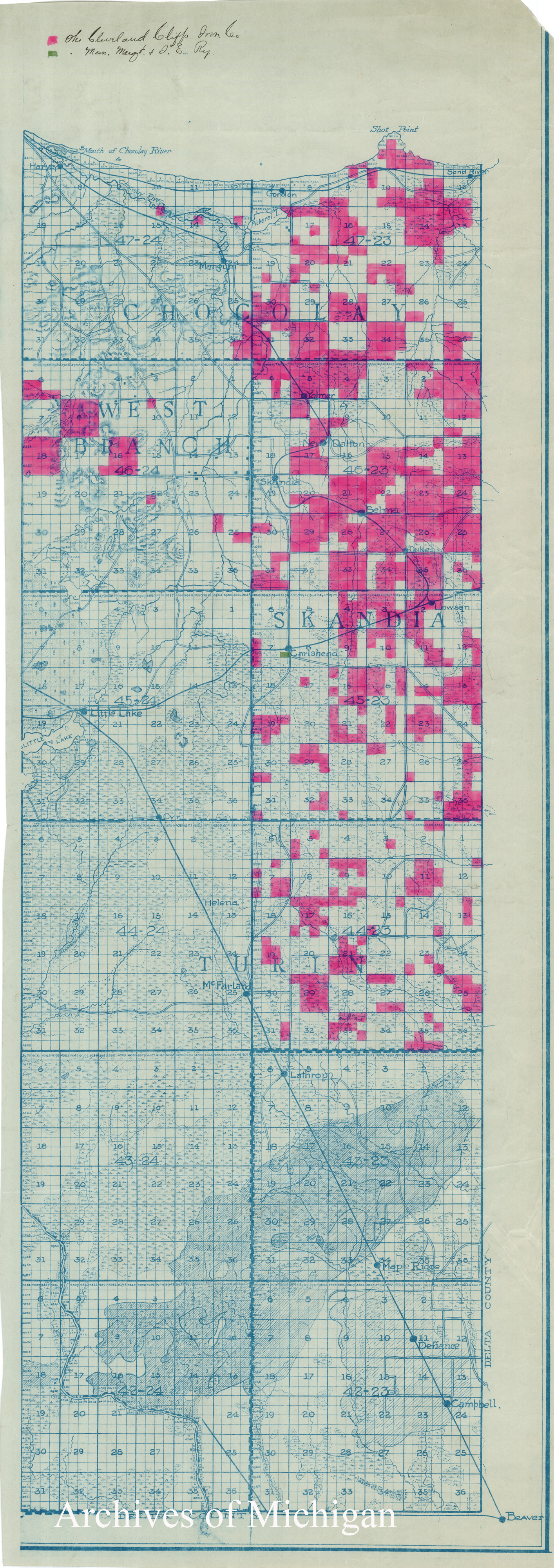
Alger and Schoolcraft Counties 1913 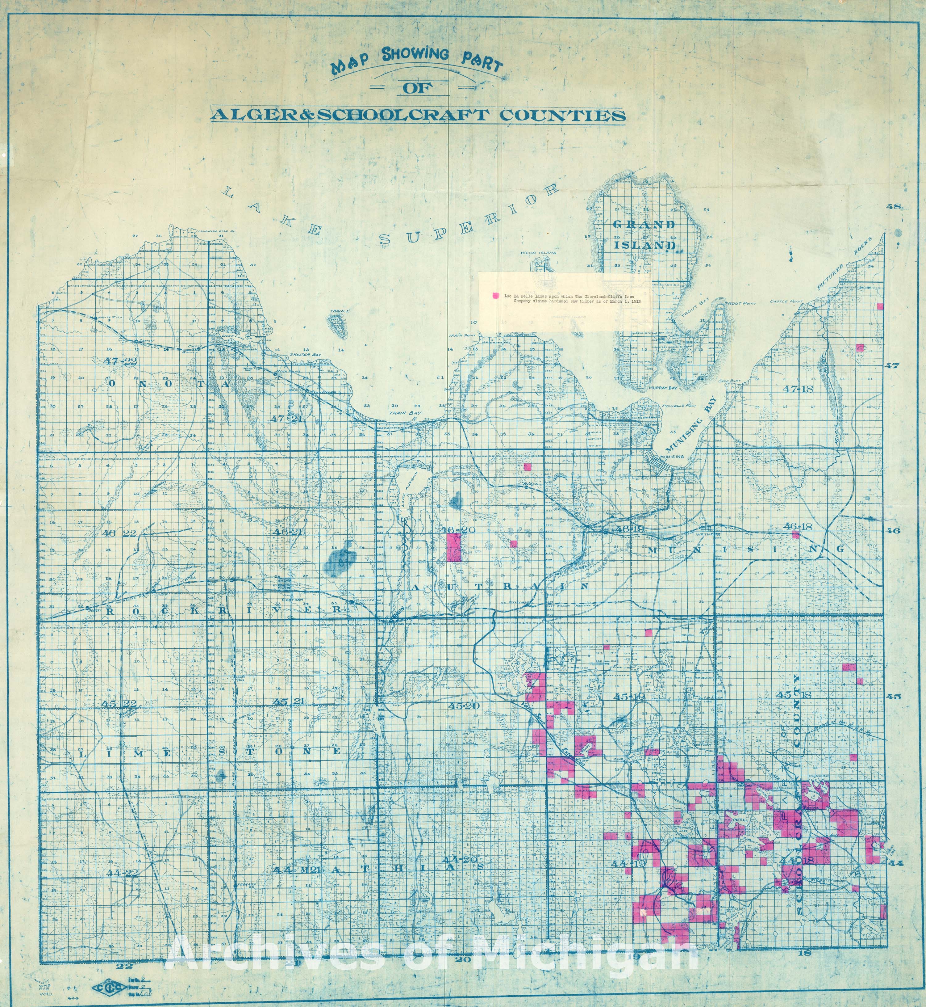
|
||||||||||||||||
|
Map showing part of Alger County (2 maps) 1913 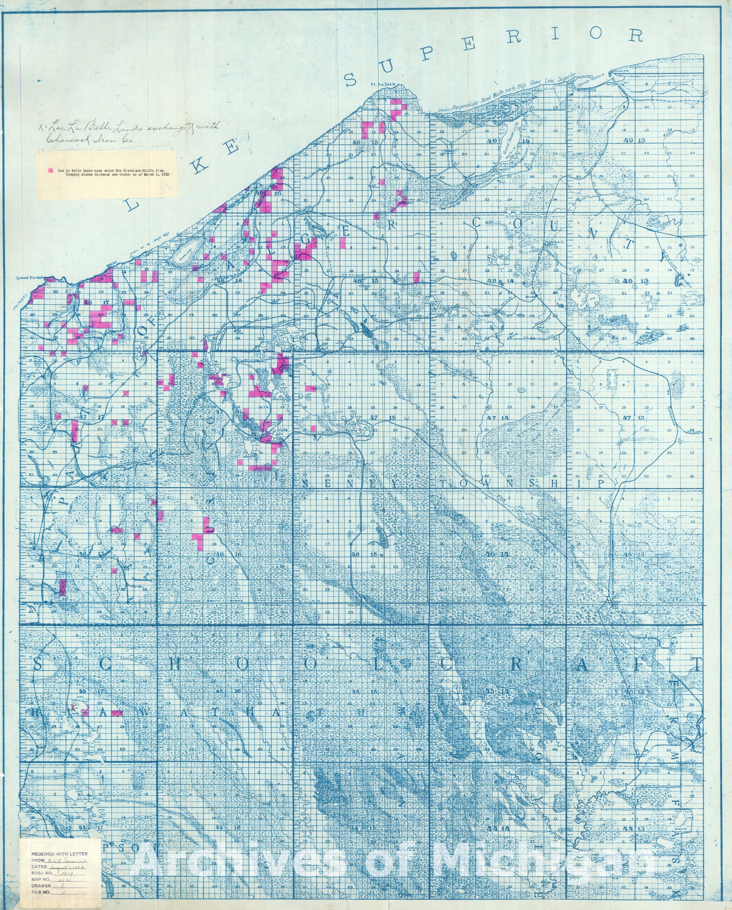
|
||||||||||||||||
|
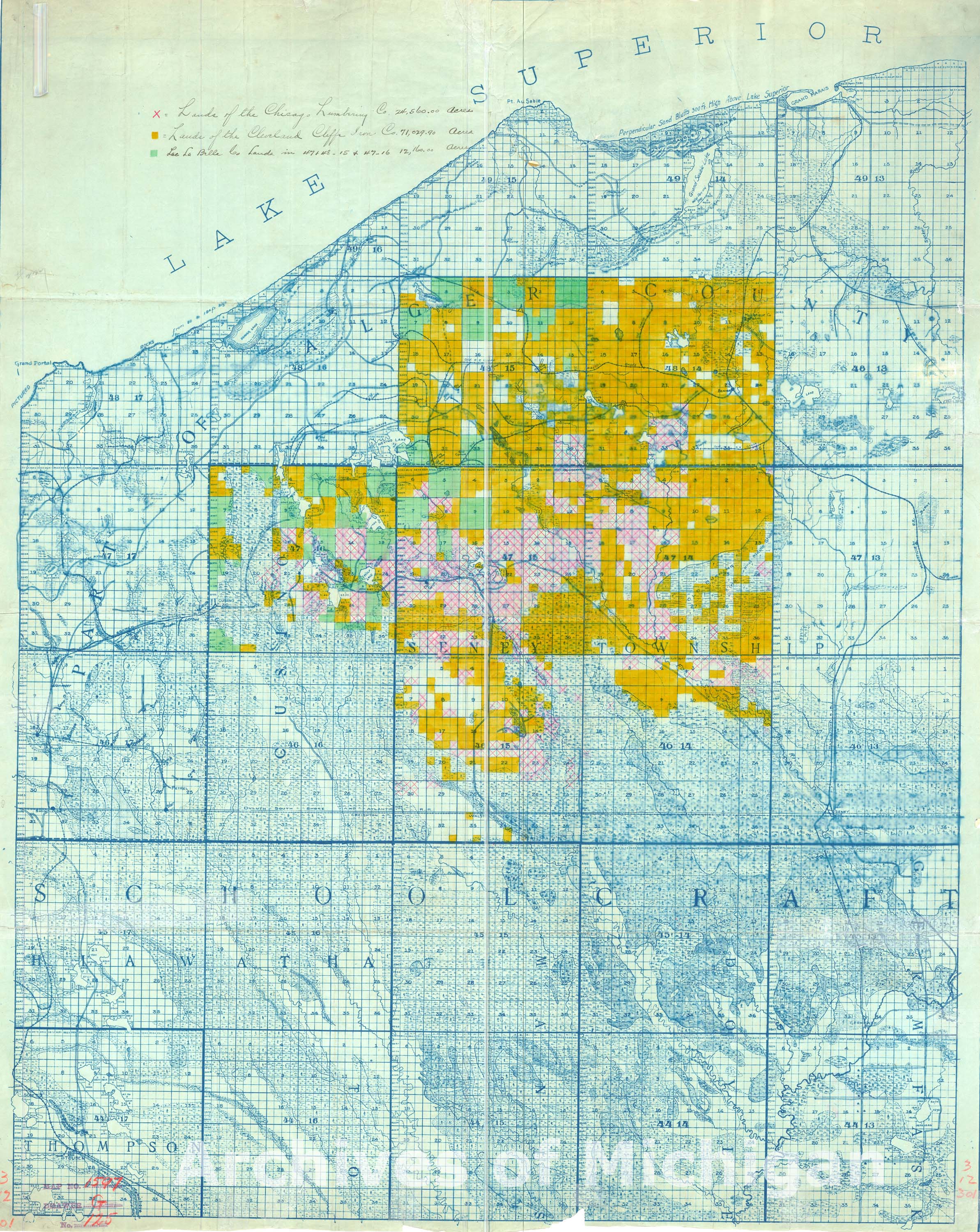
Map showing part of Alger and Schoolcraft Counties 1914-1915 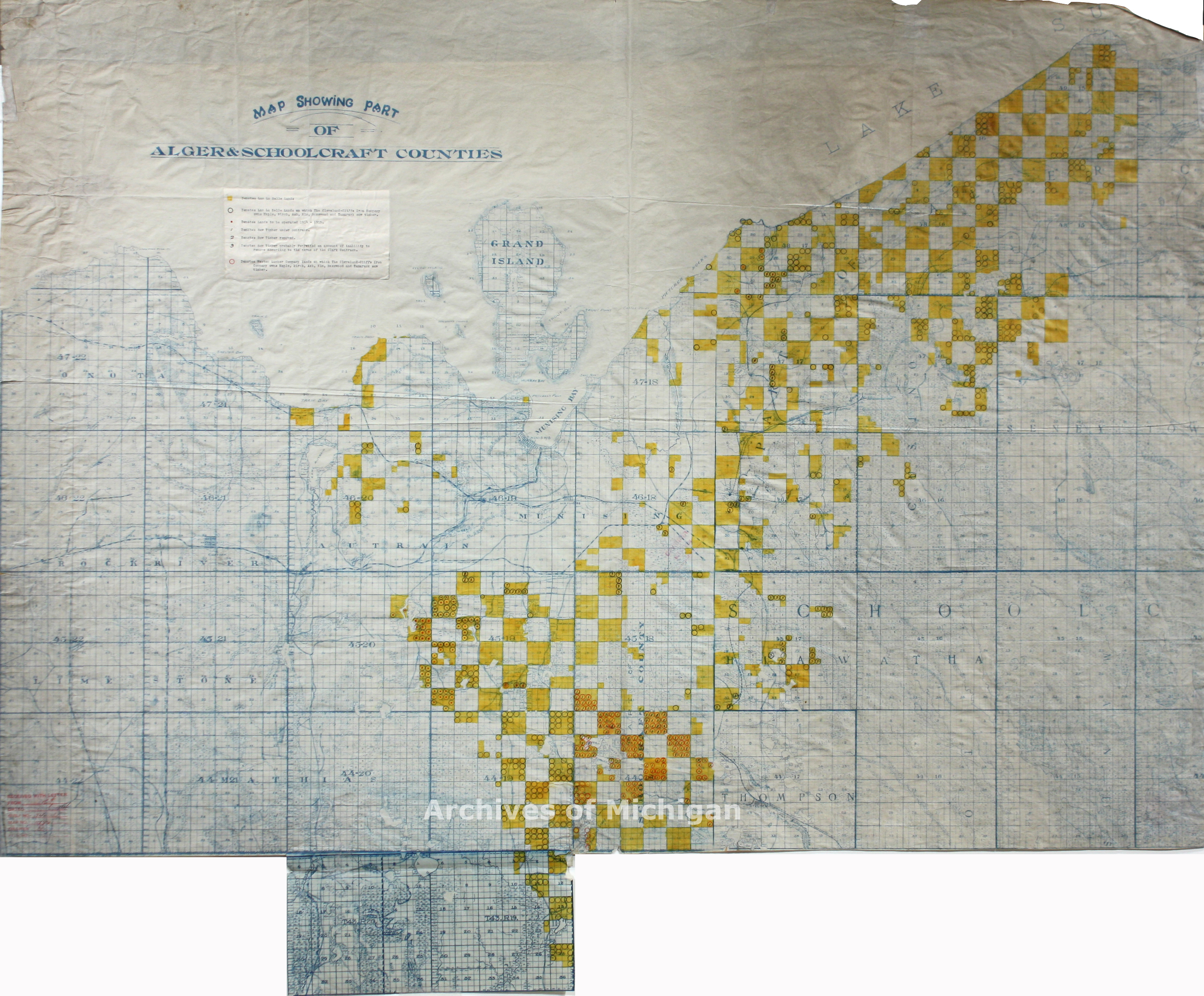
|
||||||||||||||||
|
Chicago and North-West Ry. The Negaunee Mining District-Marquette County 1887 (Corrected June, 1889) 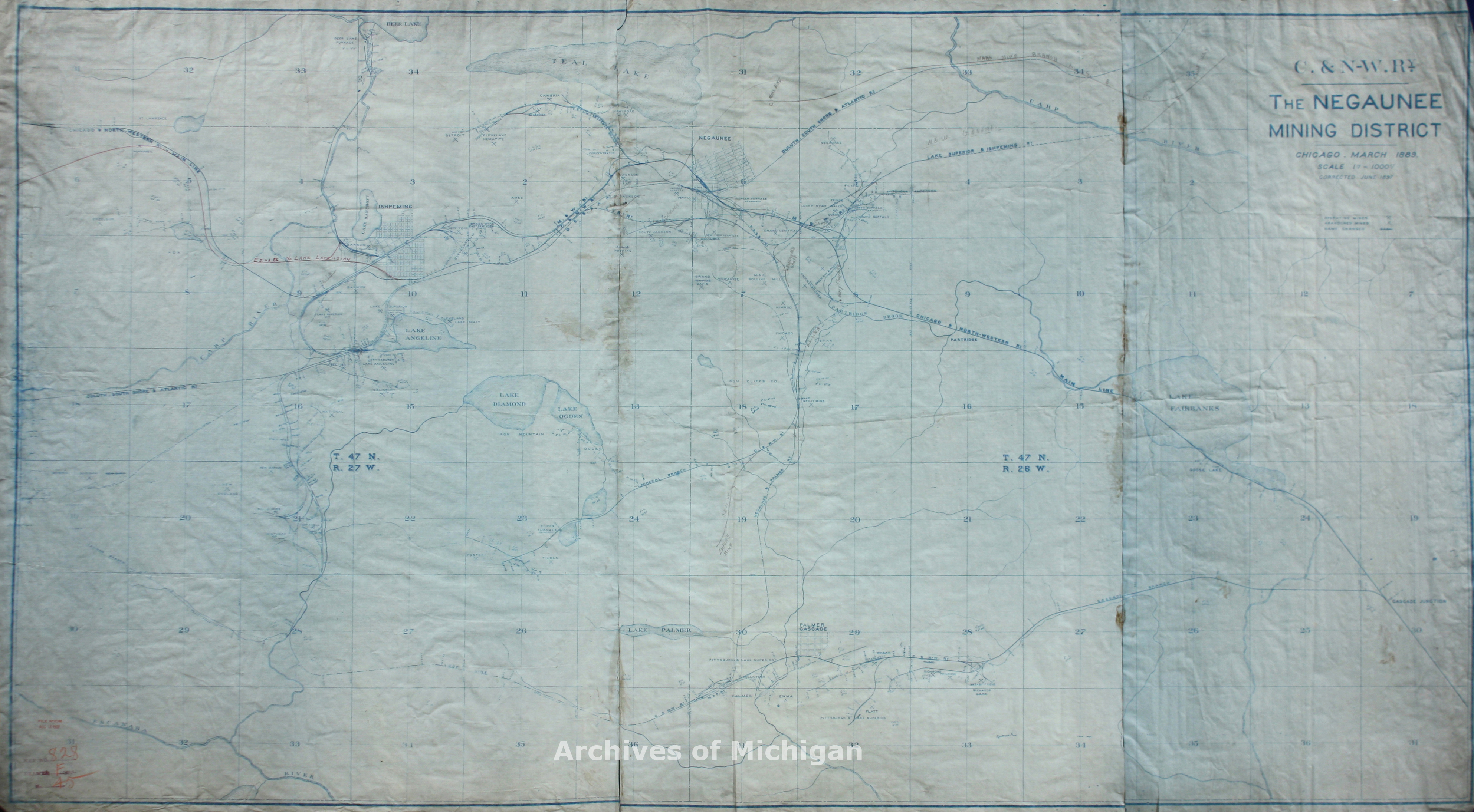
|
||||||||||||||||
|
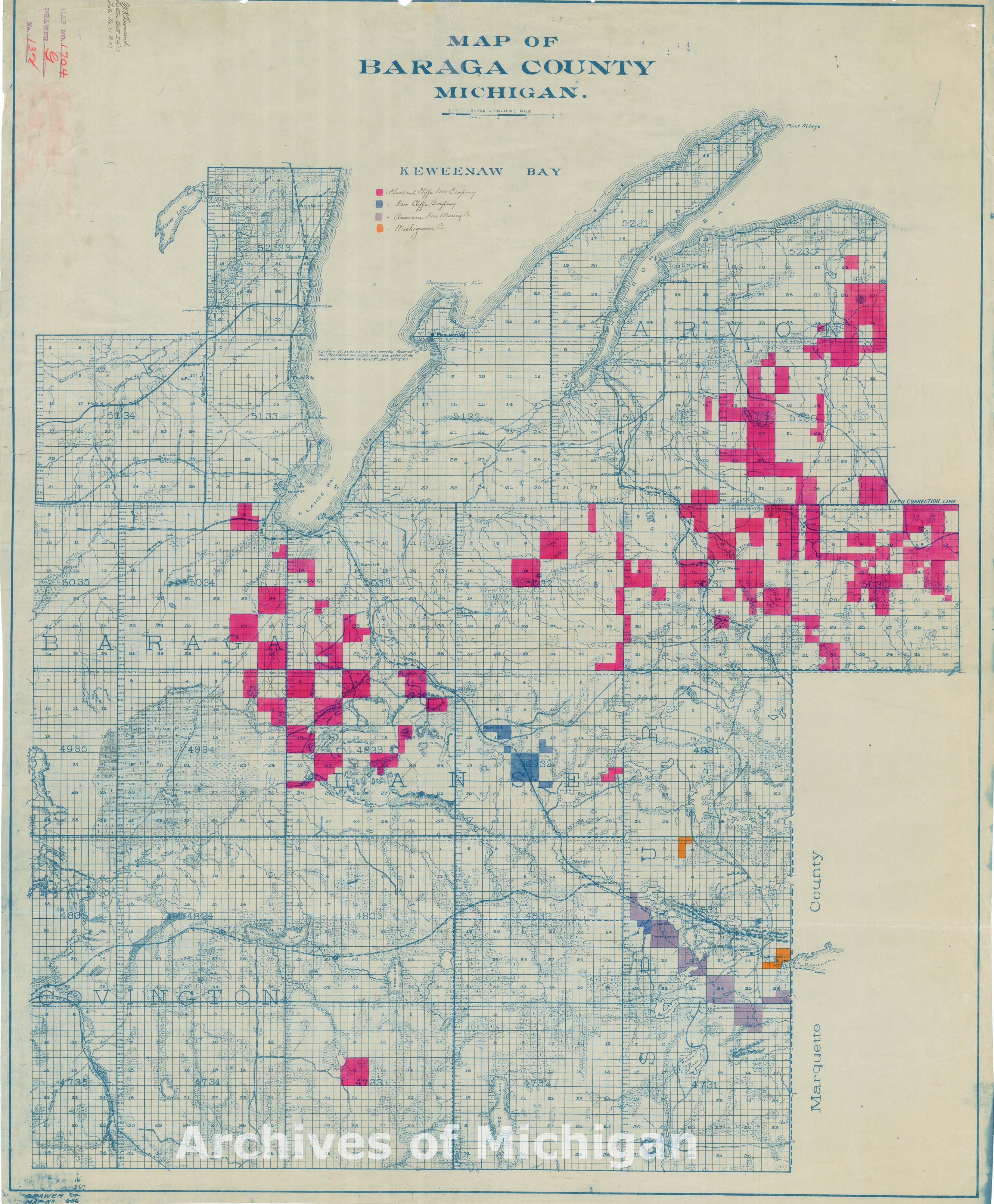
Map of Baraga County showing boundary of lands on the mineral formations 1914 
|
||||||||||||||||
|
Map of Baraga County 1914 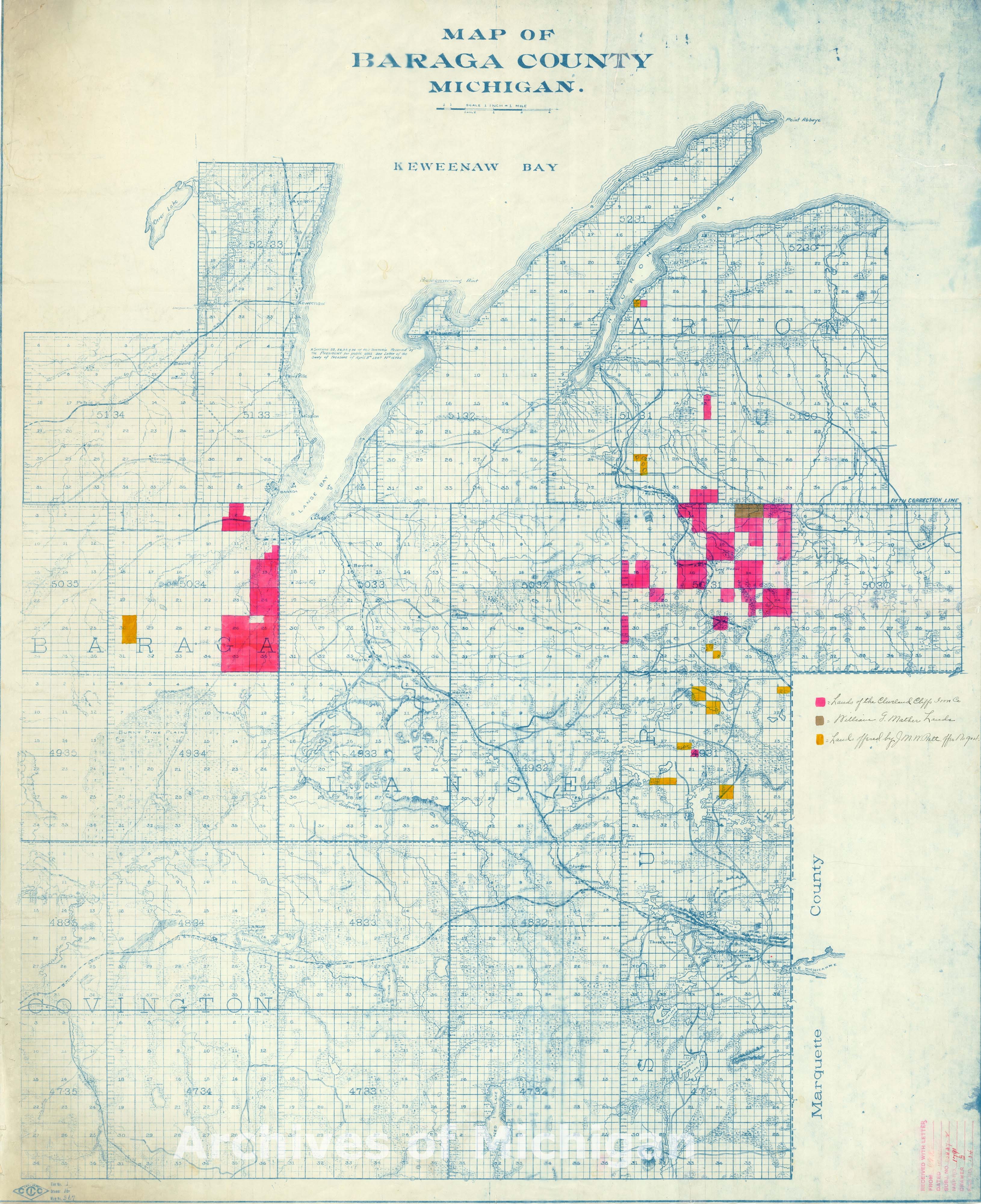
|
||||||||||||||||
|
Part of Baraga County 1918 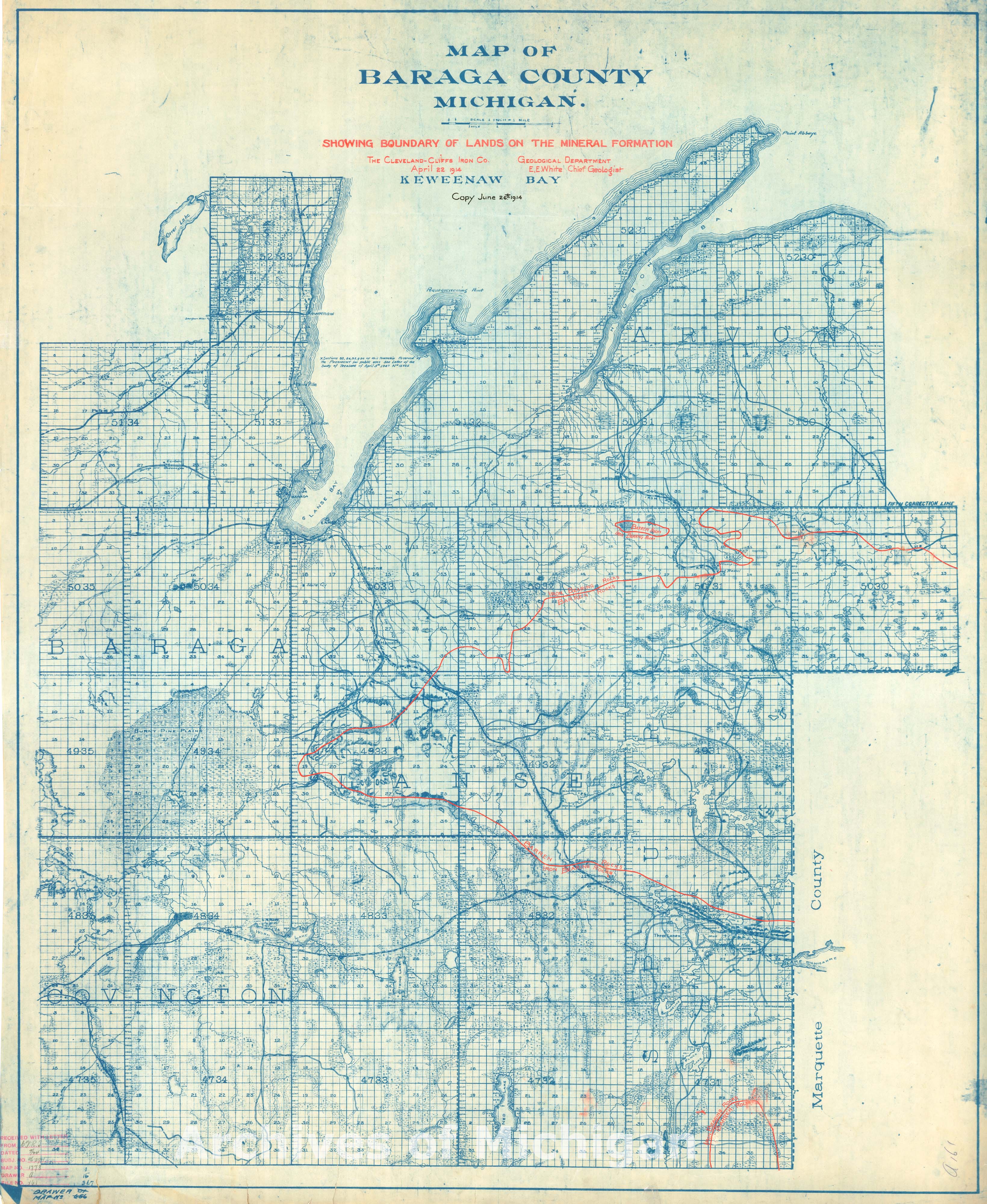
|
||||||||||||||||
|
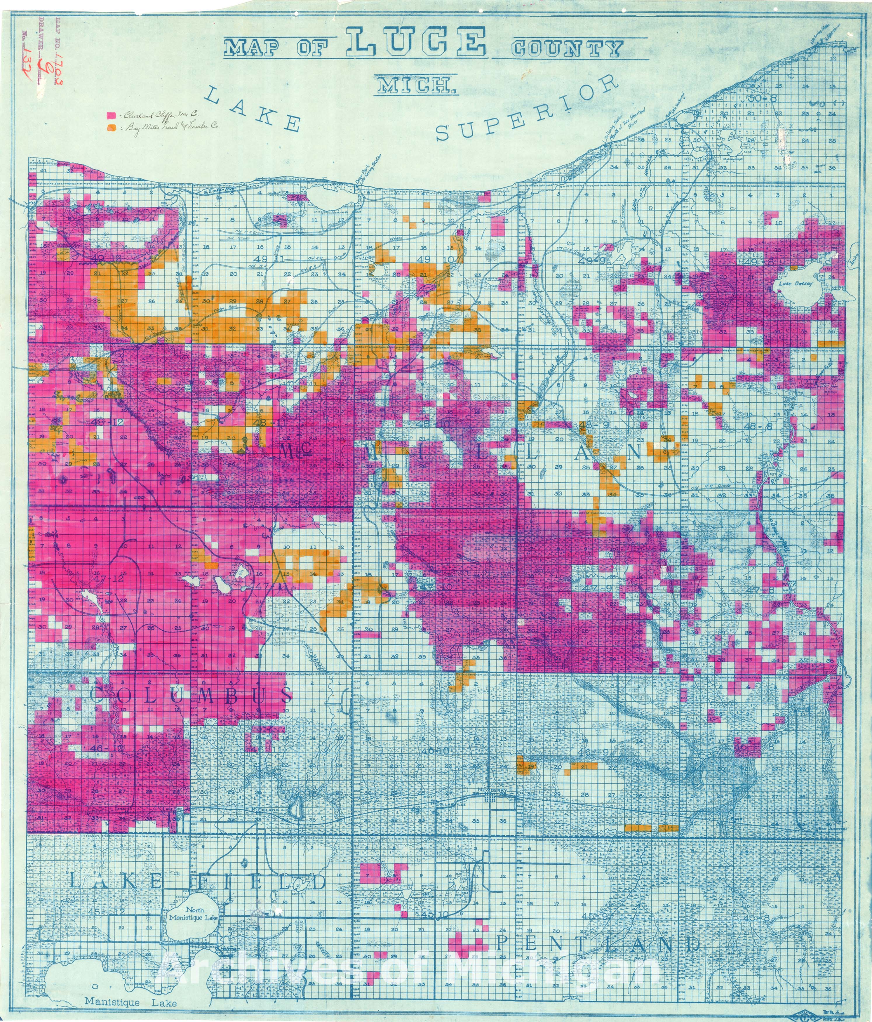
Map of Luce County 1915 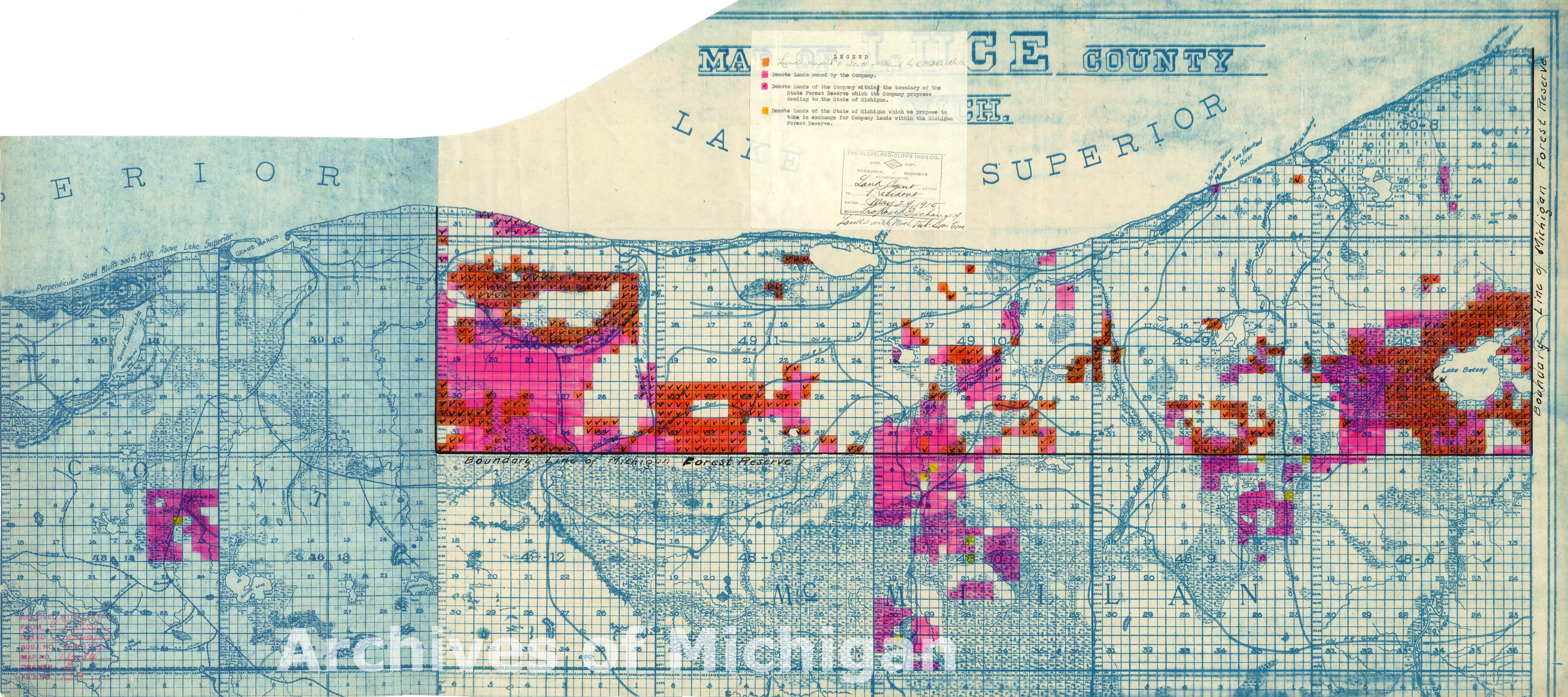
|
||||||||||||||||
|
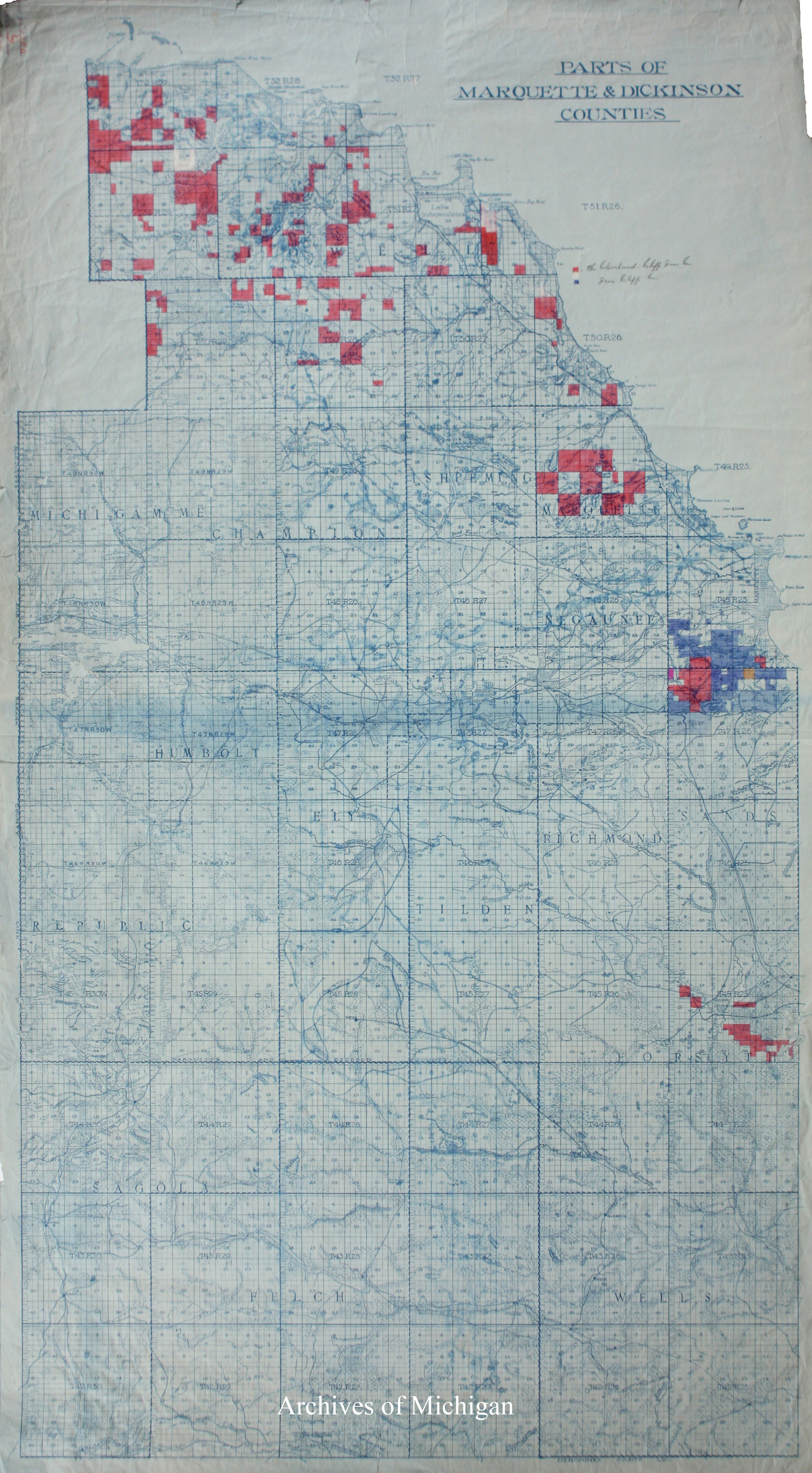
Parts of Marquette and Dickinson Counties 1915 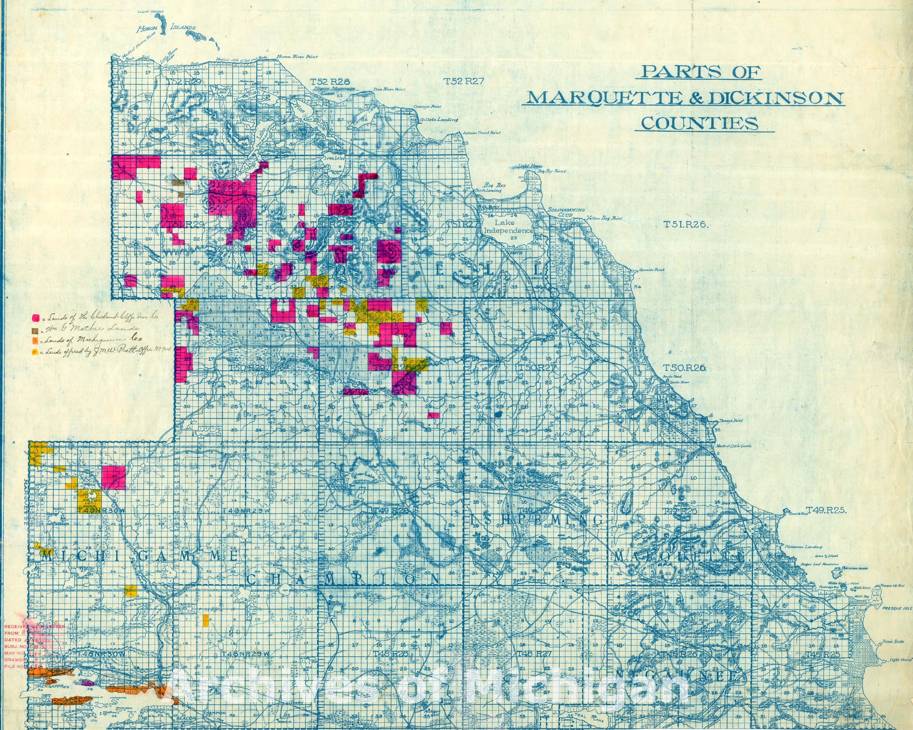
|
||||||||||||||||
|
Parts of Marquette and Dickinson Counties showing boundary of lands on the mineral foundation 1914 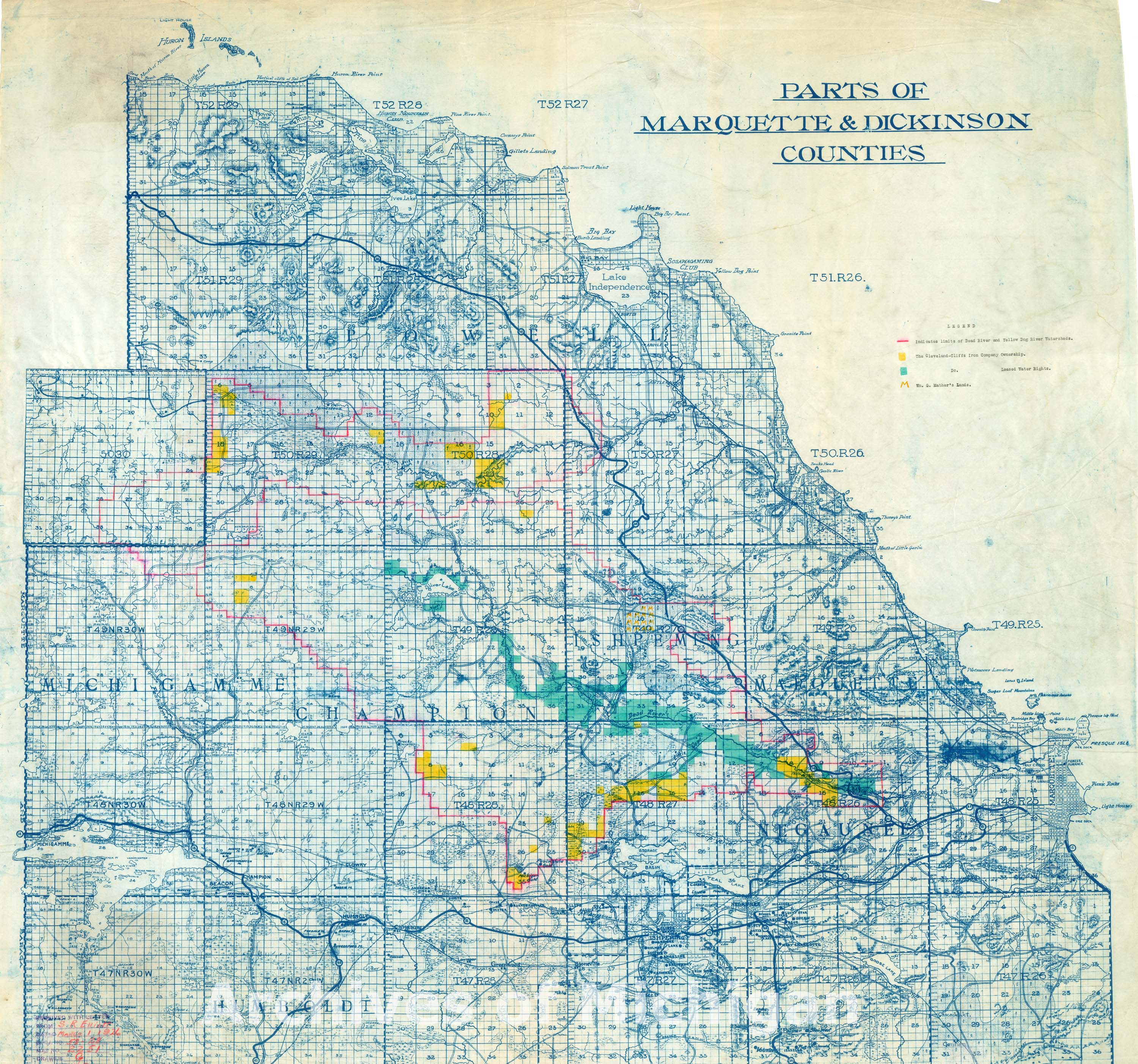
|
||||||||||||||||
|
Parts of Marquette and Dickinson Counties 1914 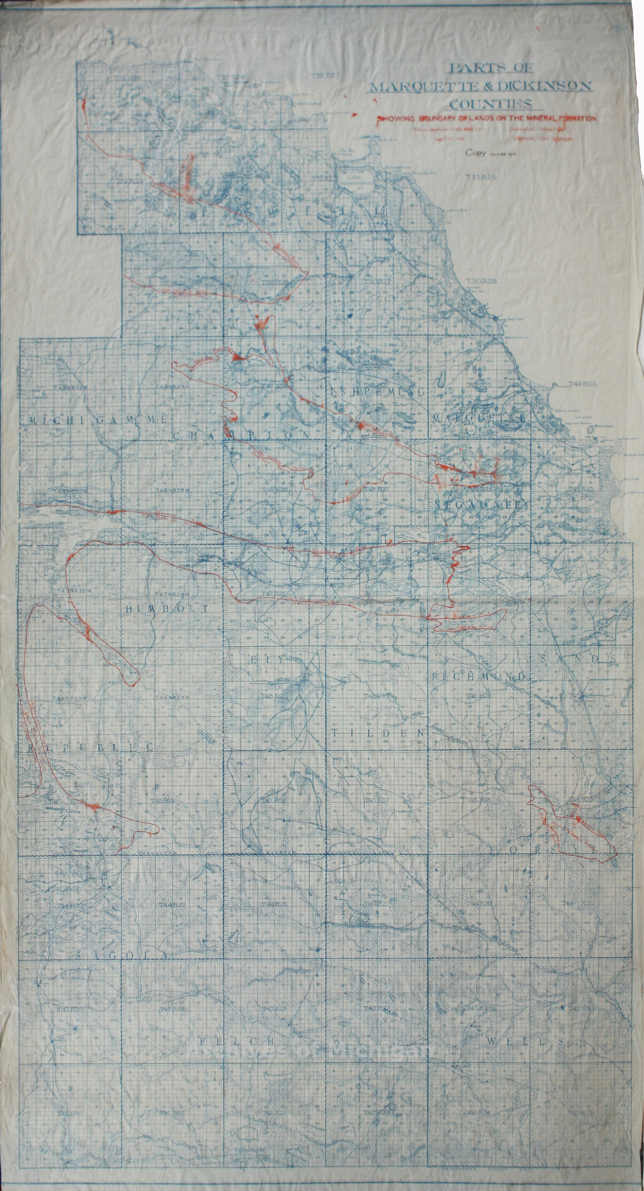
|
||||||||||||||||
|
Parts of Marquette and Dickinson Counties 1926 
|
||||||||||||||||
|
Lands owned by Cleveland-Cliffs Mining Companies 1926 
|
||||||||||||||||
|
Map of the Lands of the Michigan (land) and Iron Co., limited in the counties of Marquette, Baraga and Houghton, Northern Peninsula Michigan 1884-Recieved 1889 1894- 1899 
|
||||||||||||||||
|
Land owned by mining companies in the mid-Upper Peninsula 1912 
|
||||||||||||||||
|
Land owned by mining companies in the mid-Upper Peninsula (7 maps) 1913 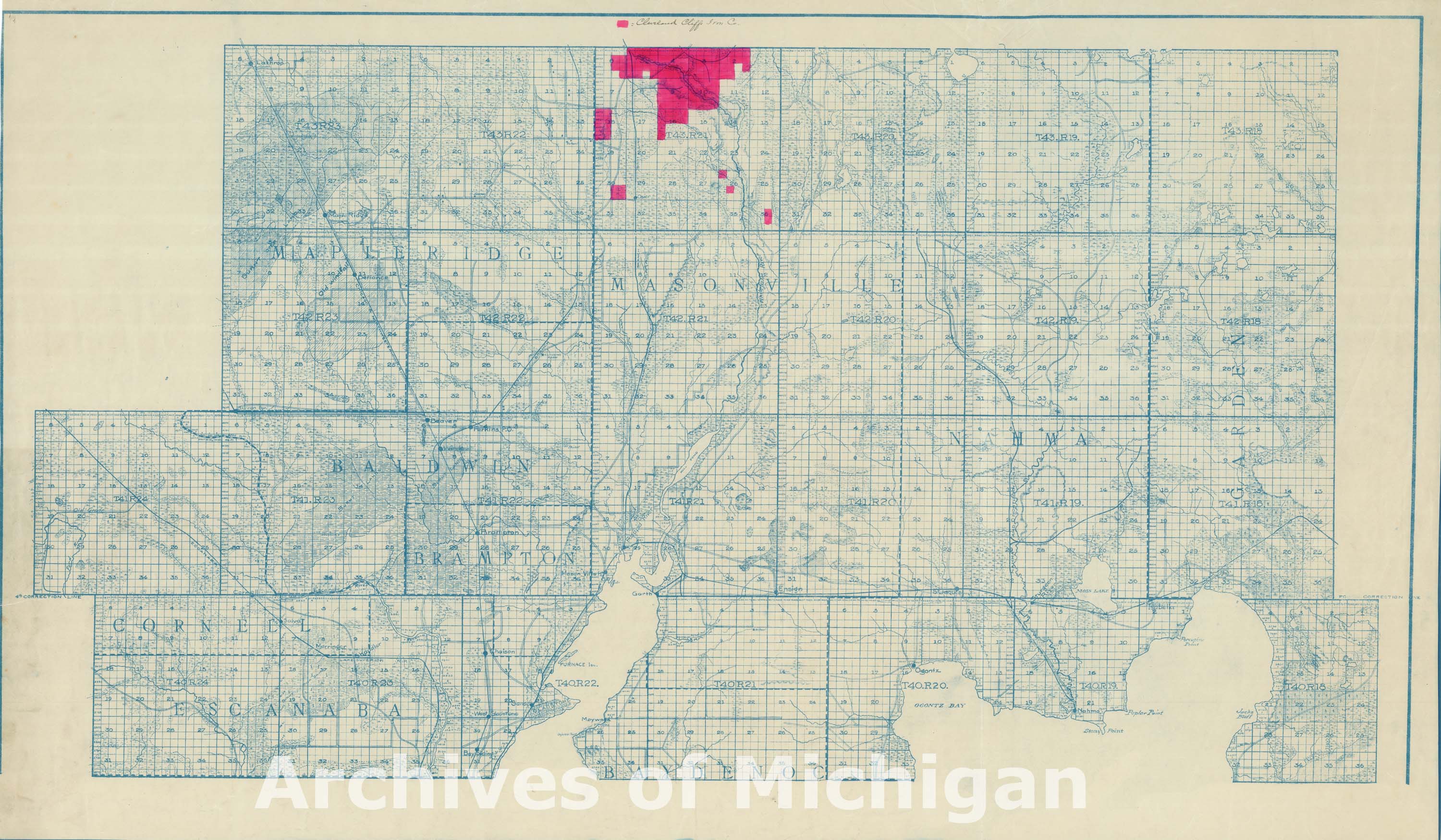
|
||||||||||||||||
|
Lumbering lands owned by mining companies in the Upper Peninsula 1923 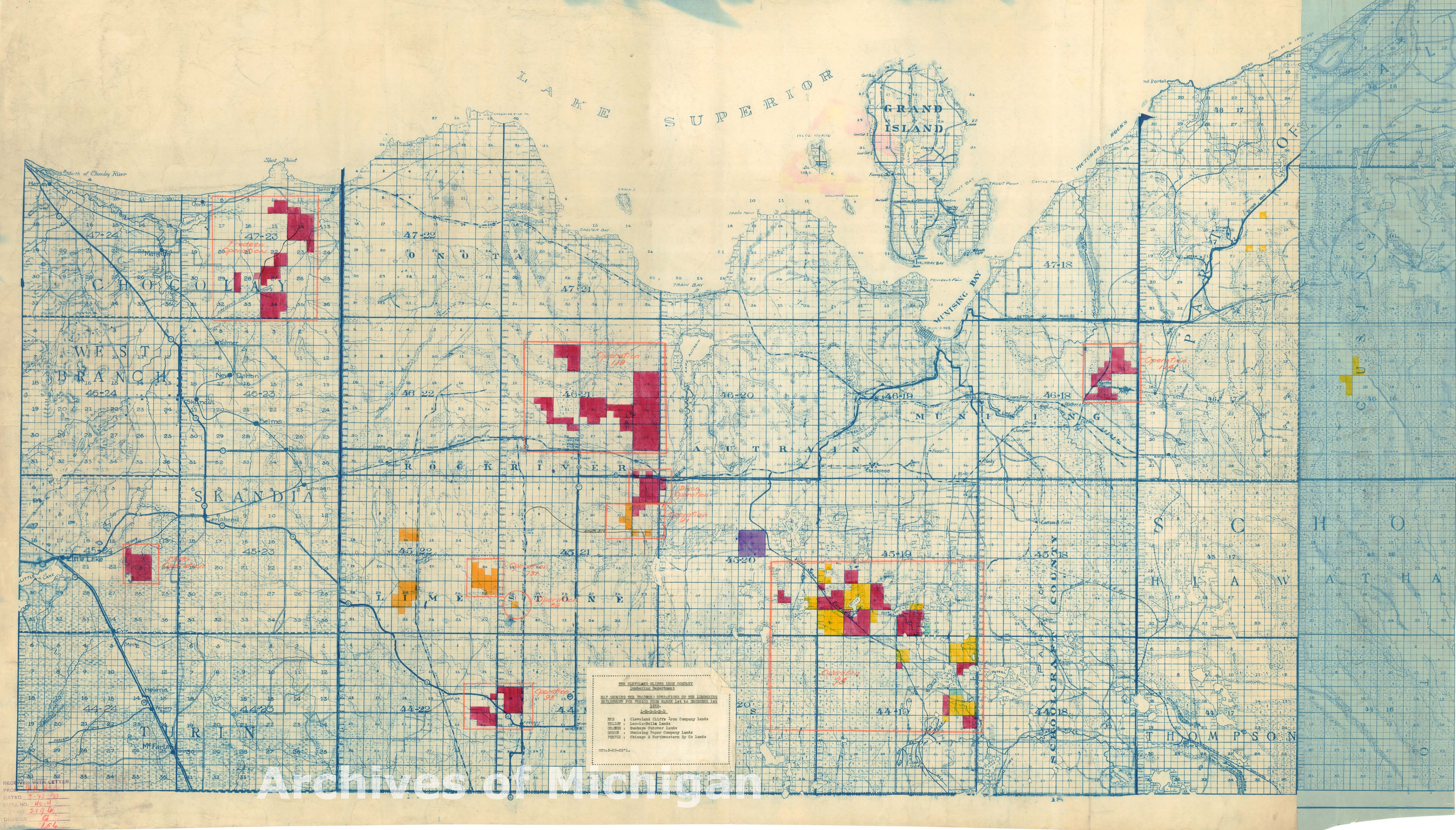
|
||||||||||||||||
|
Mining Company lands in the mid-Upper Peninsula 1923 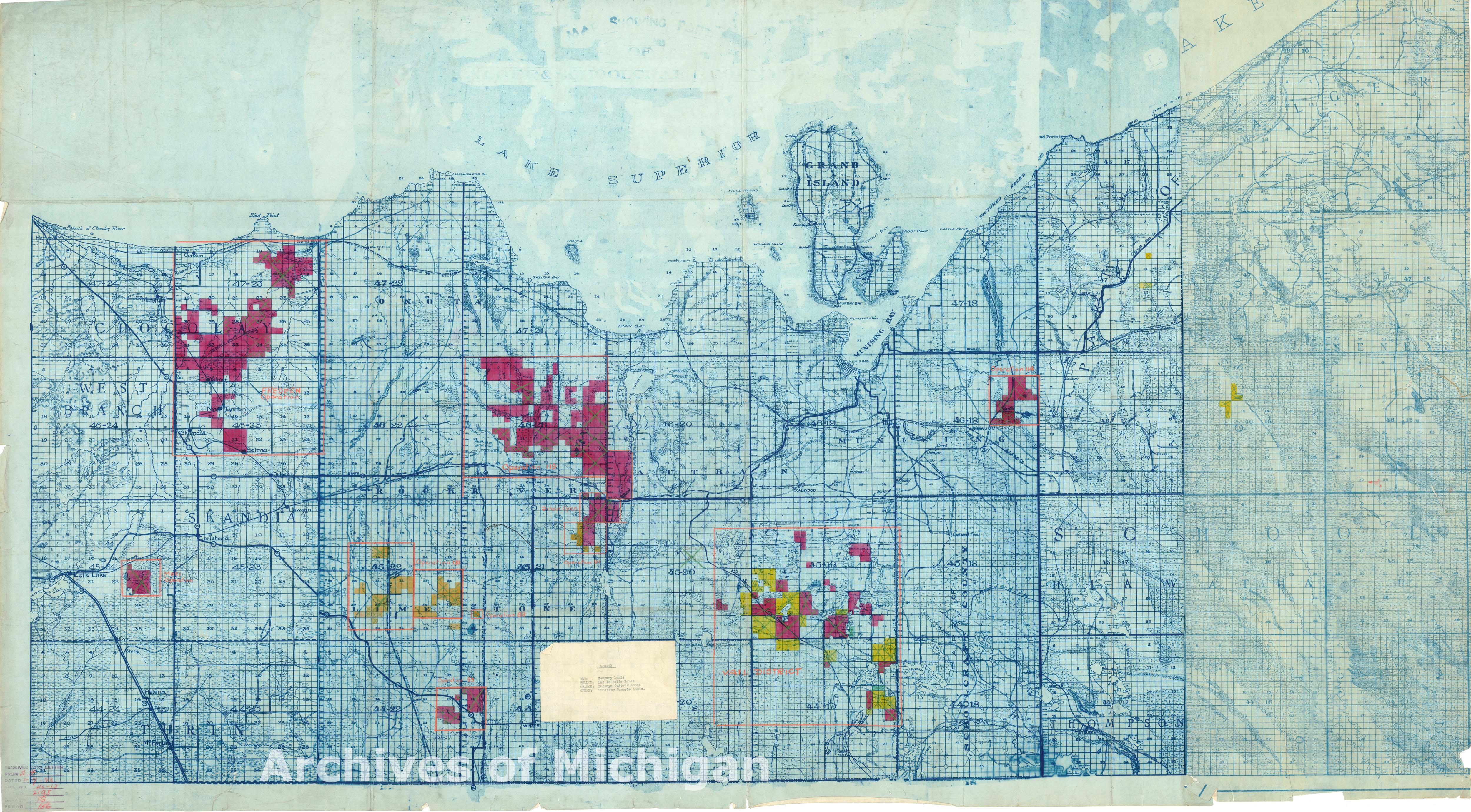
|
||||||||||||||||
|
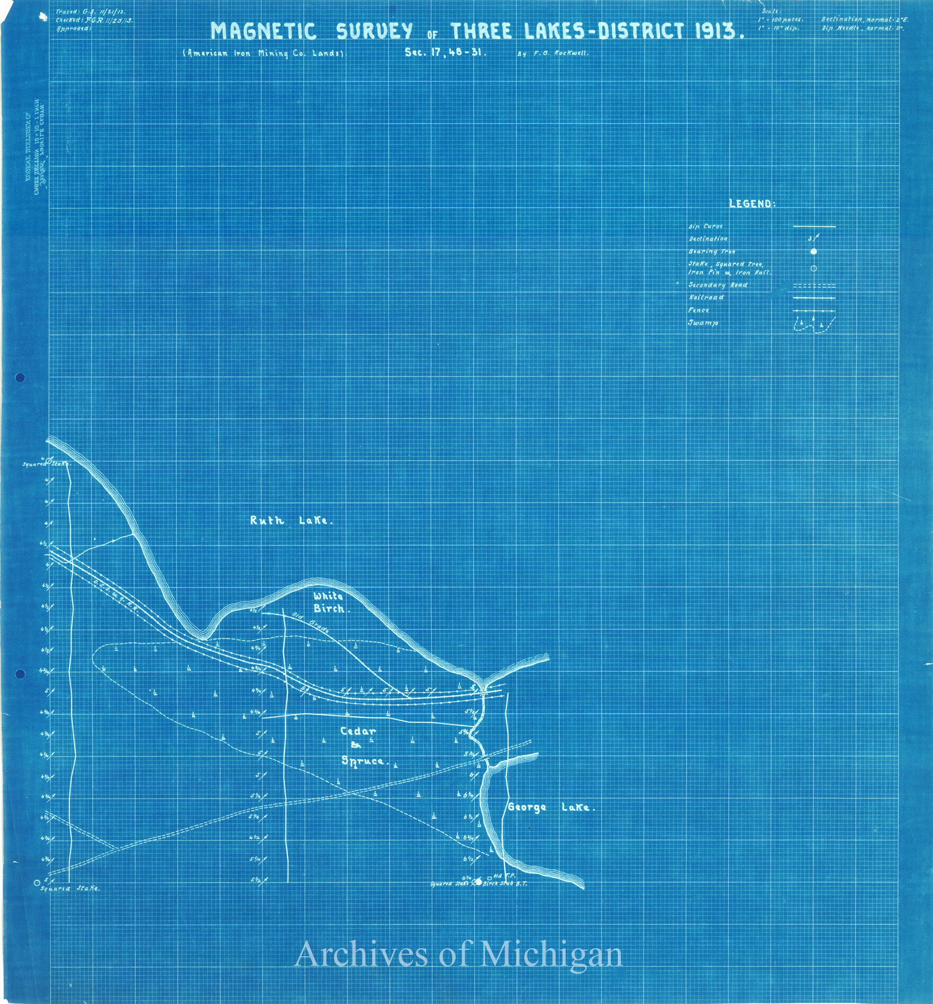
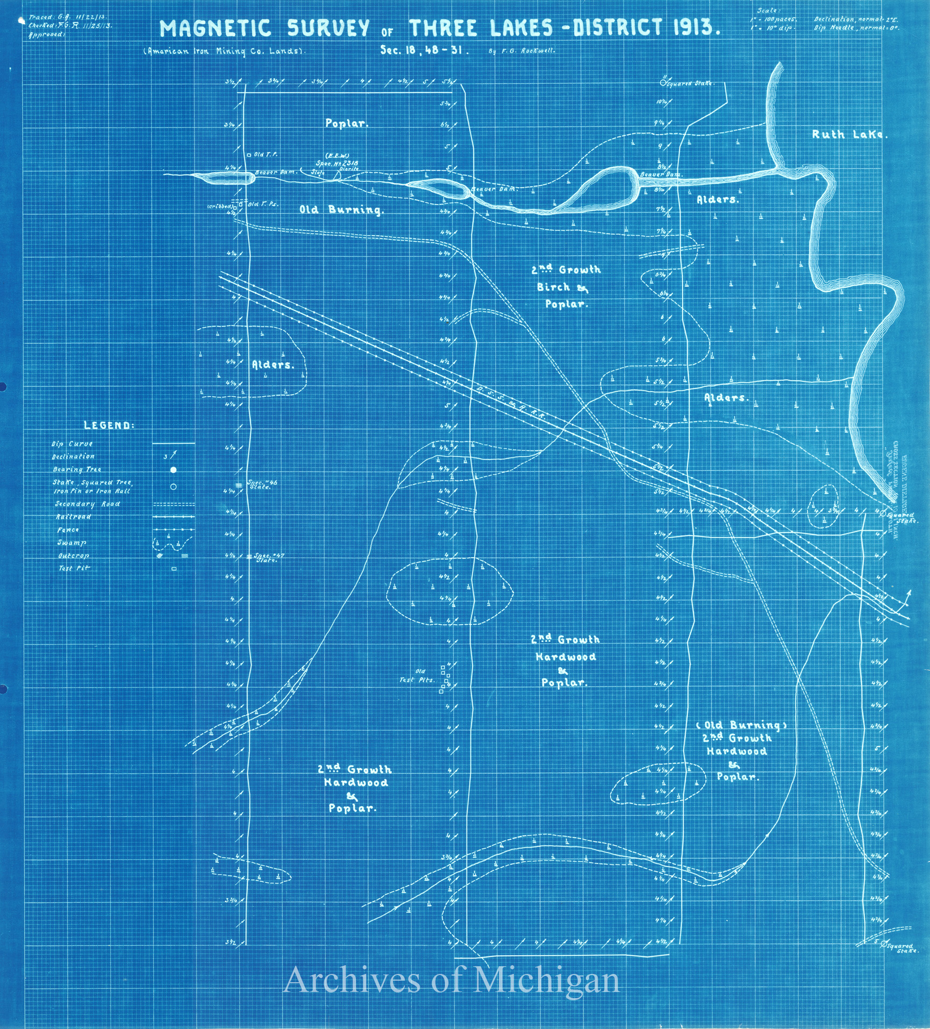
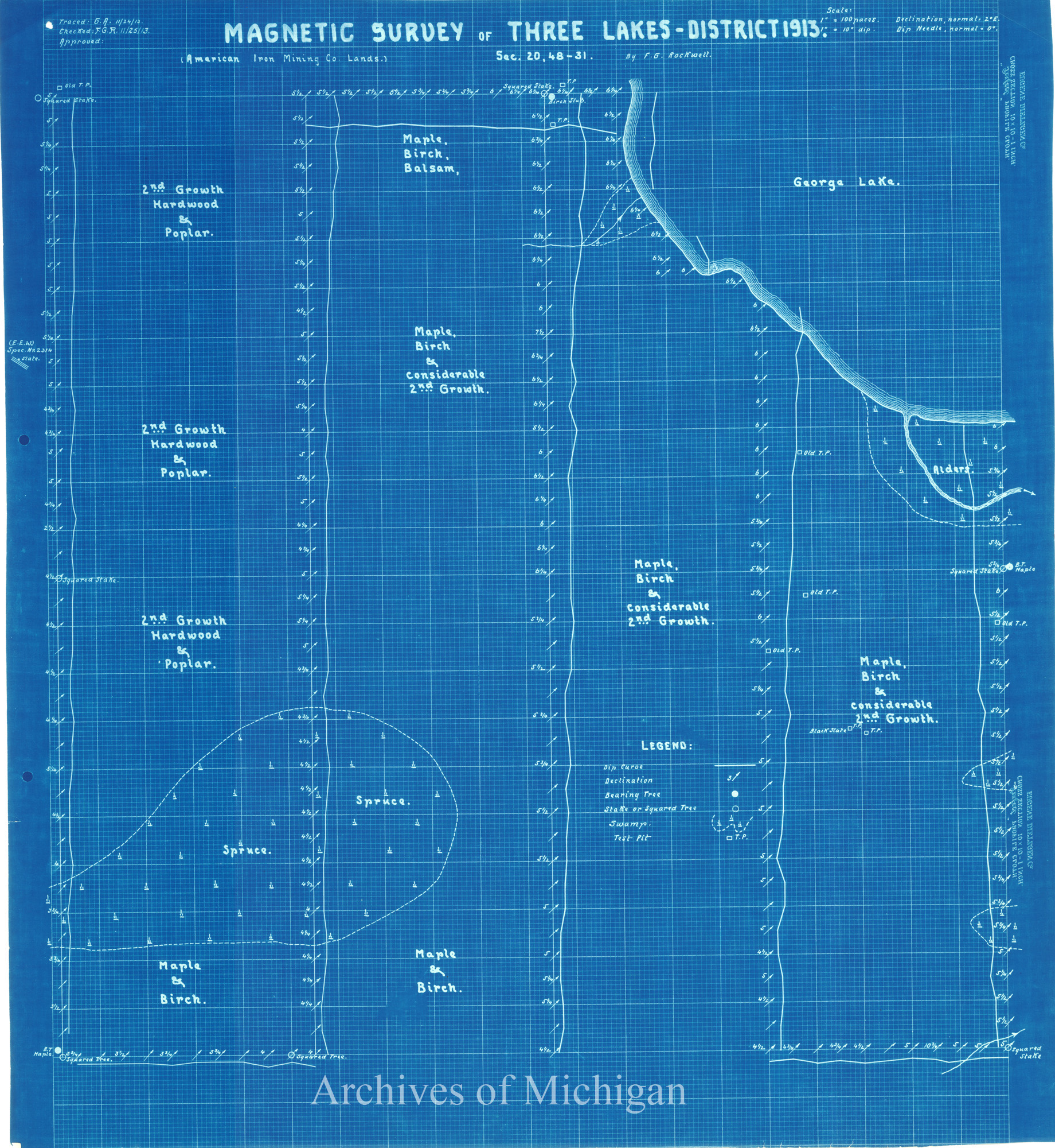
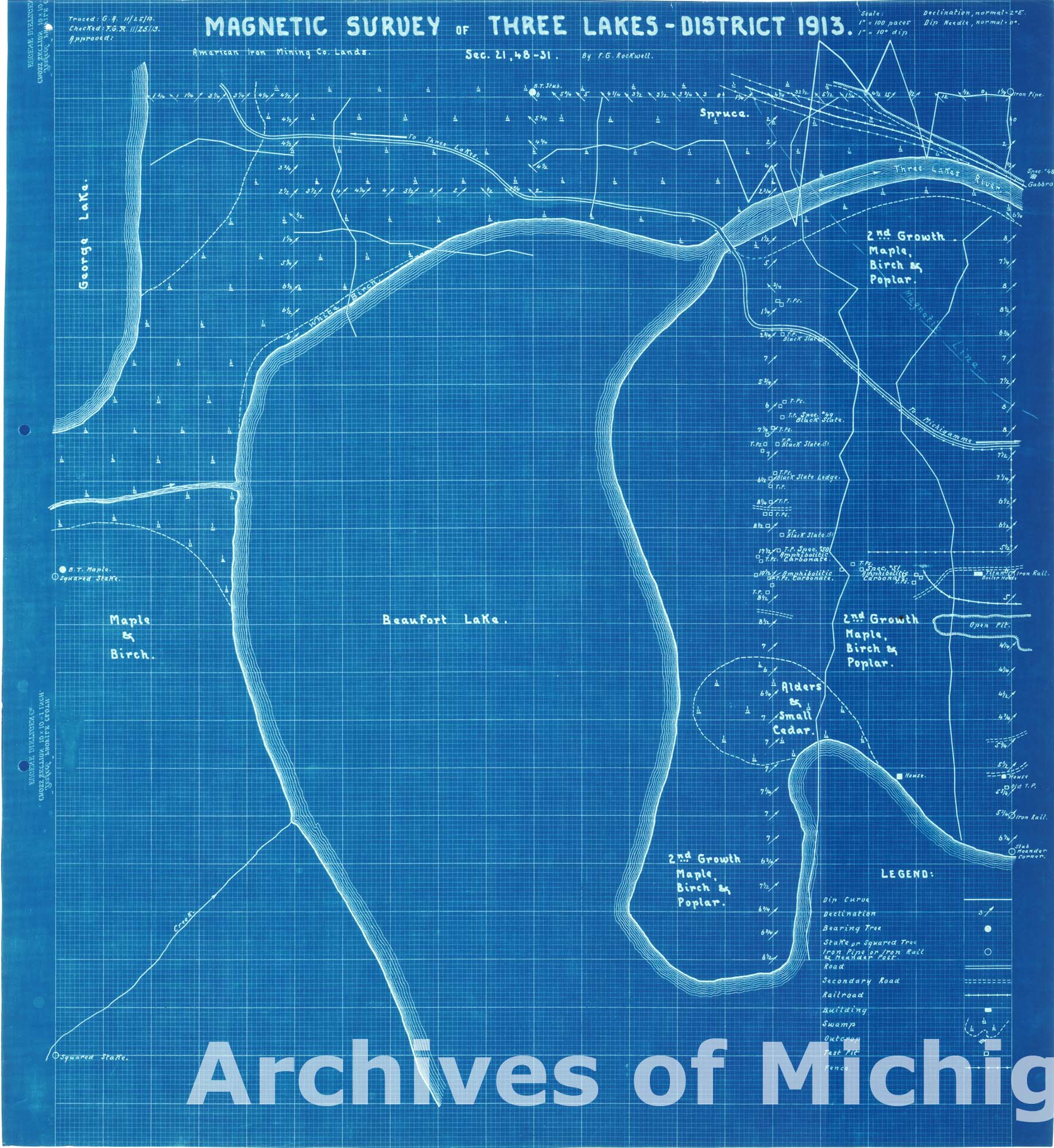
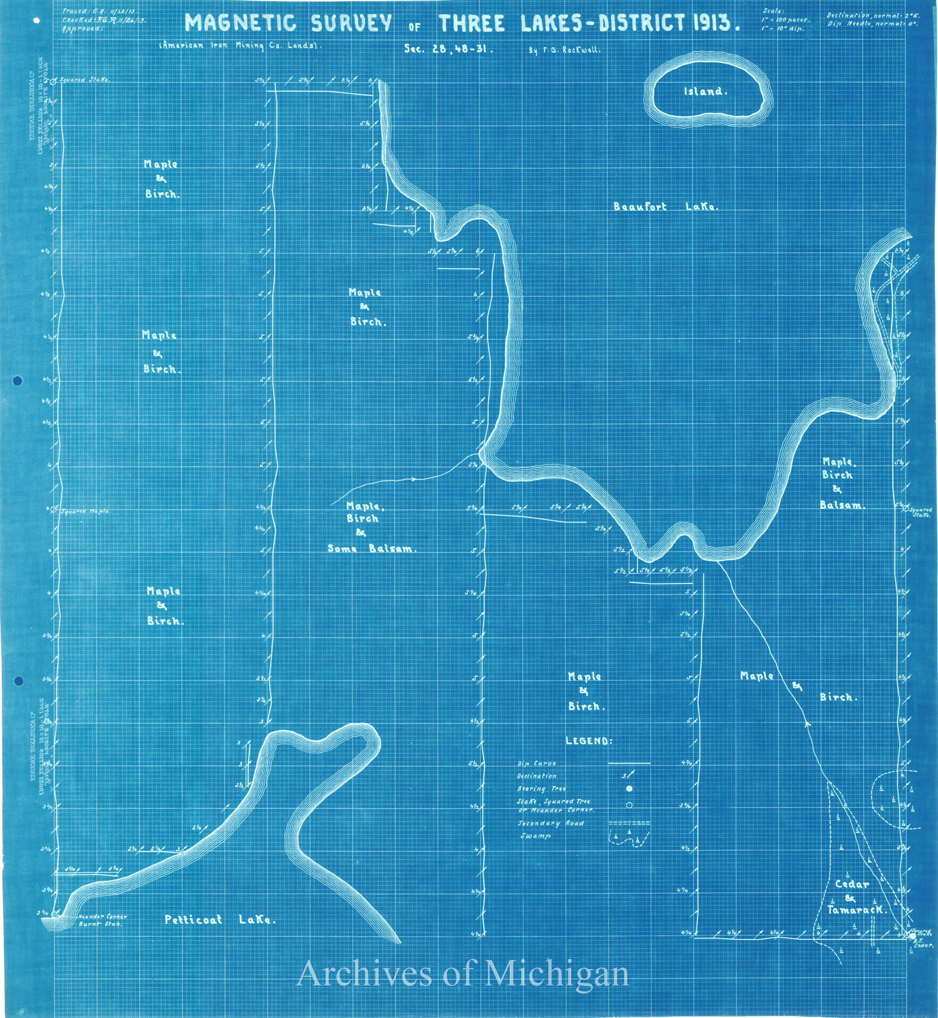
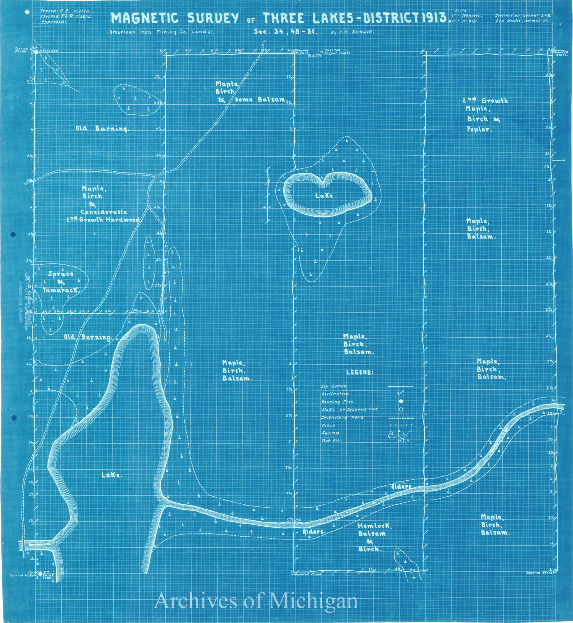
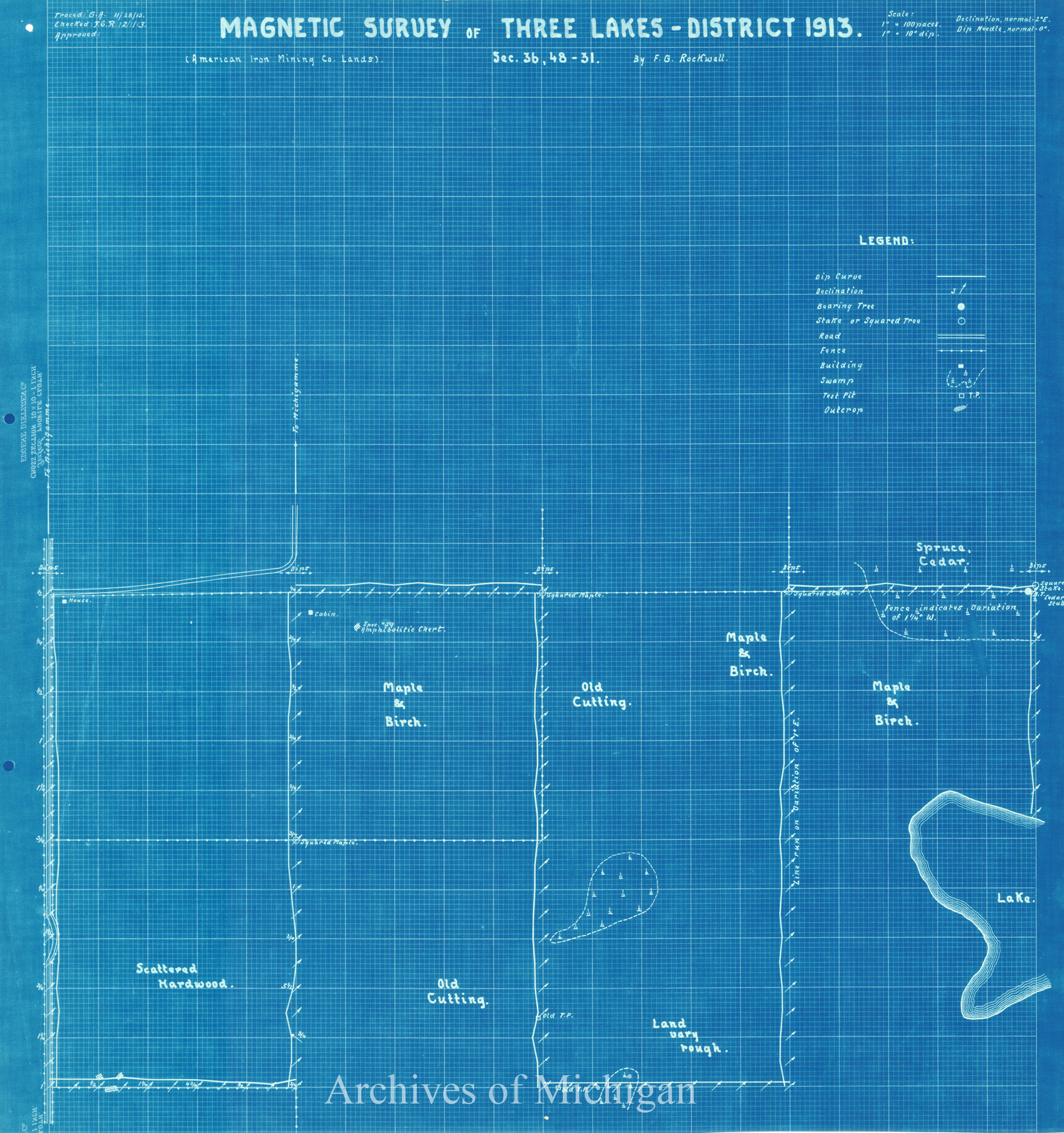
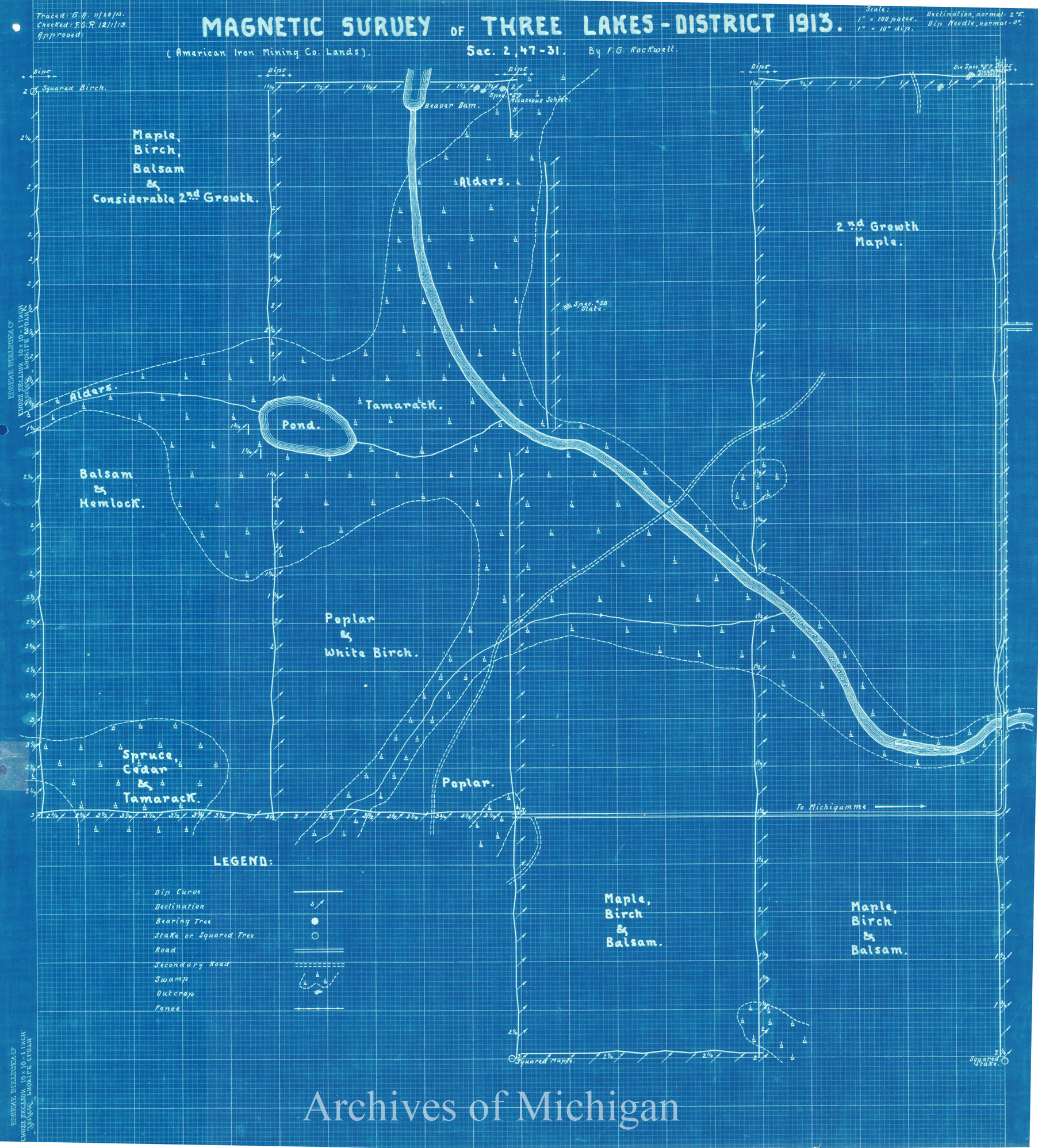
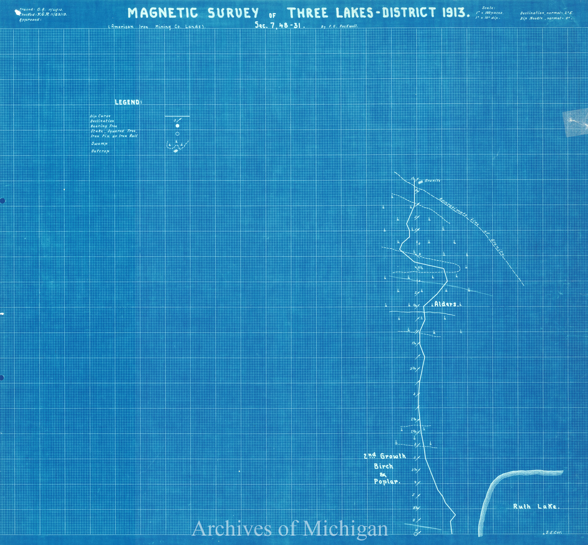
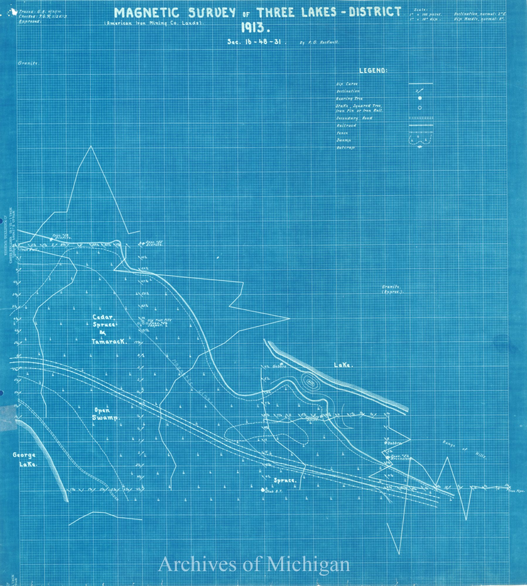
American Iron Company's Lands and Magnetic Surveys of Three Lakes District, Marquette; Baraga County (11 Maps) 1913 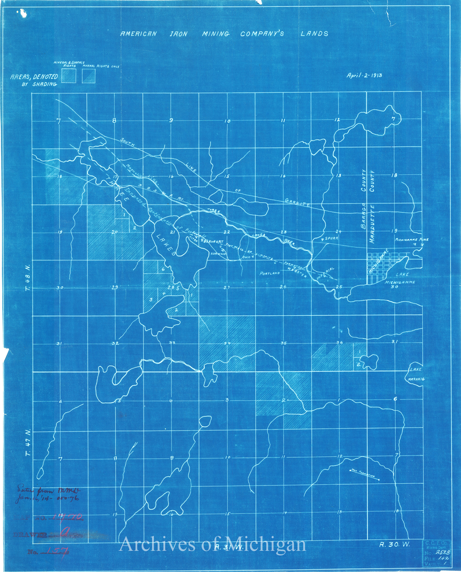
|
||||||||||||||||
|
Portion of Bingham Mine Showing surface removed by Olivier I.M. Mining Company 1923 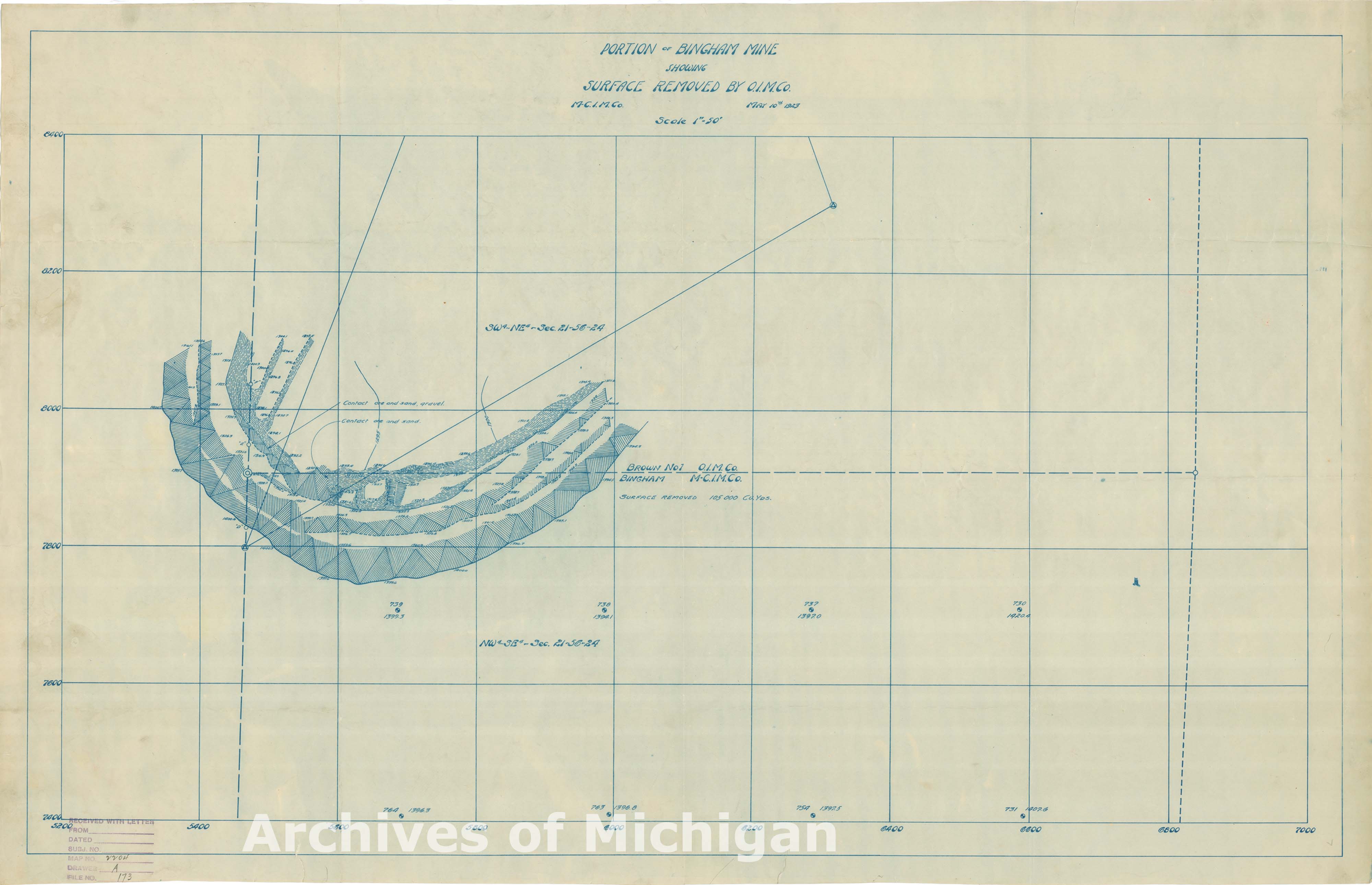
|
||||||||||||||||
|
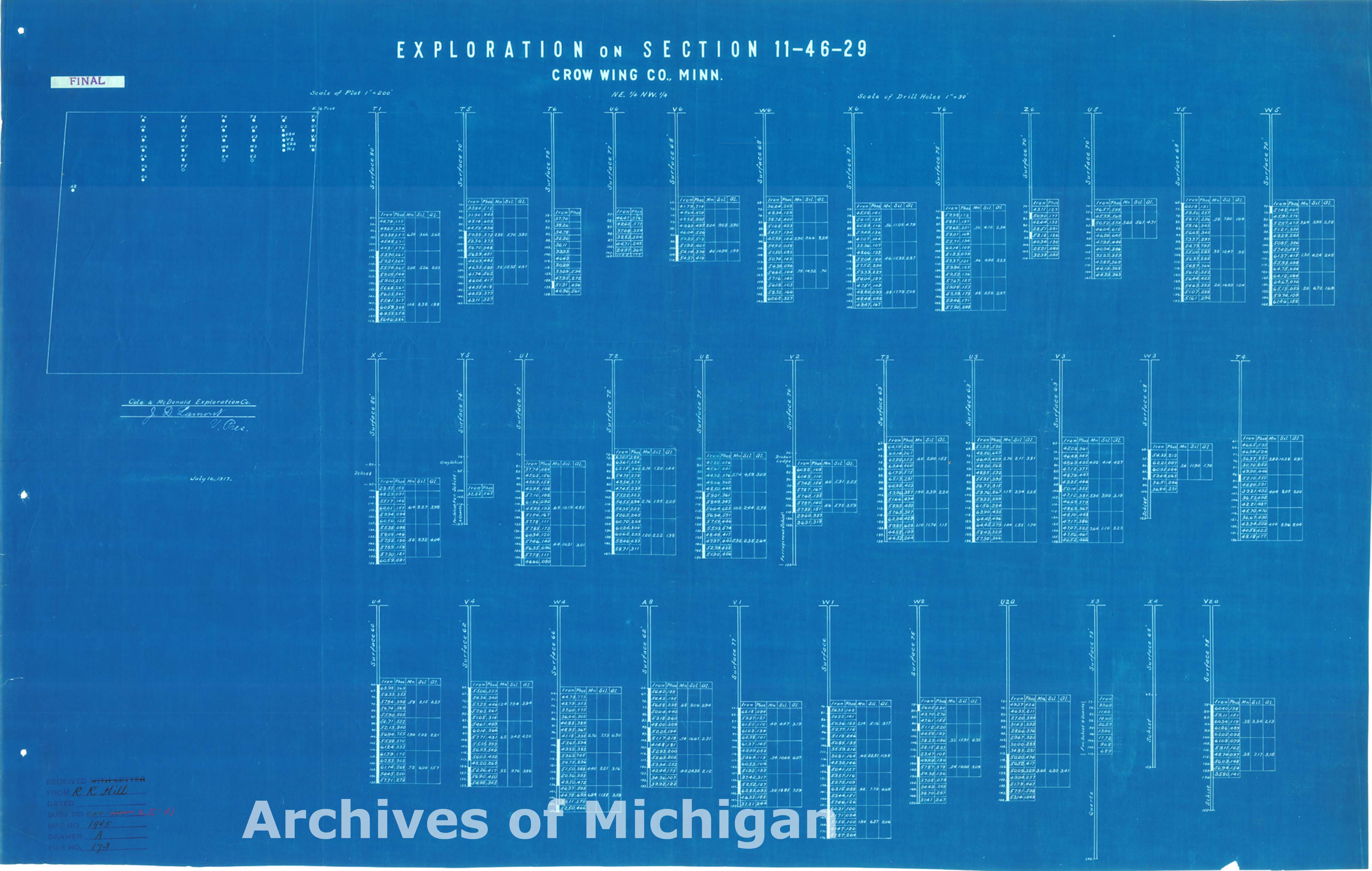
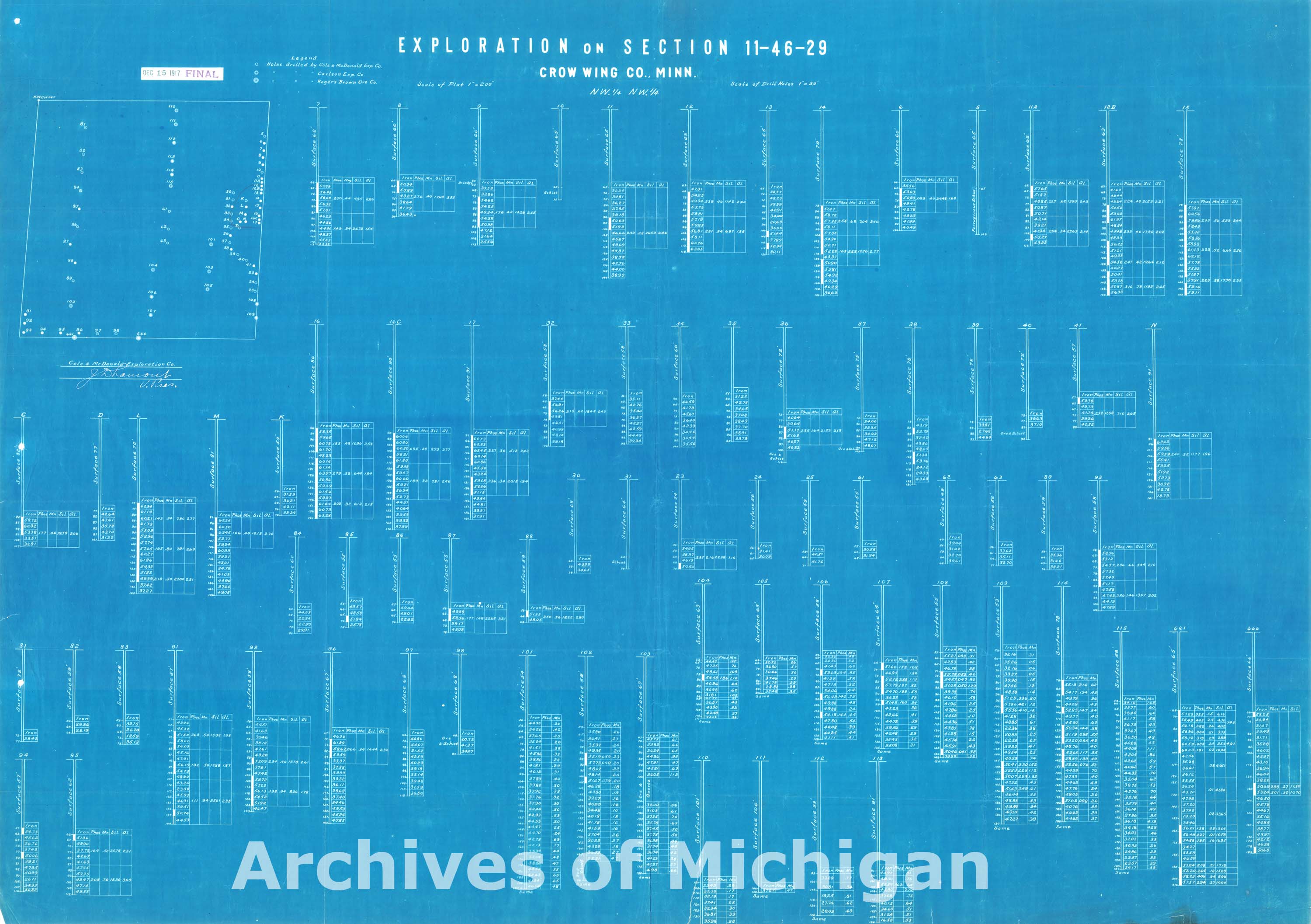
Explorations on Section 2-46-29 on Sections 11-46-29 (in Minnesota)(2 maps) 1925 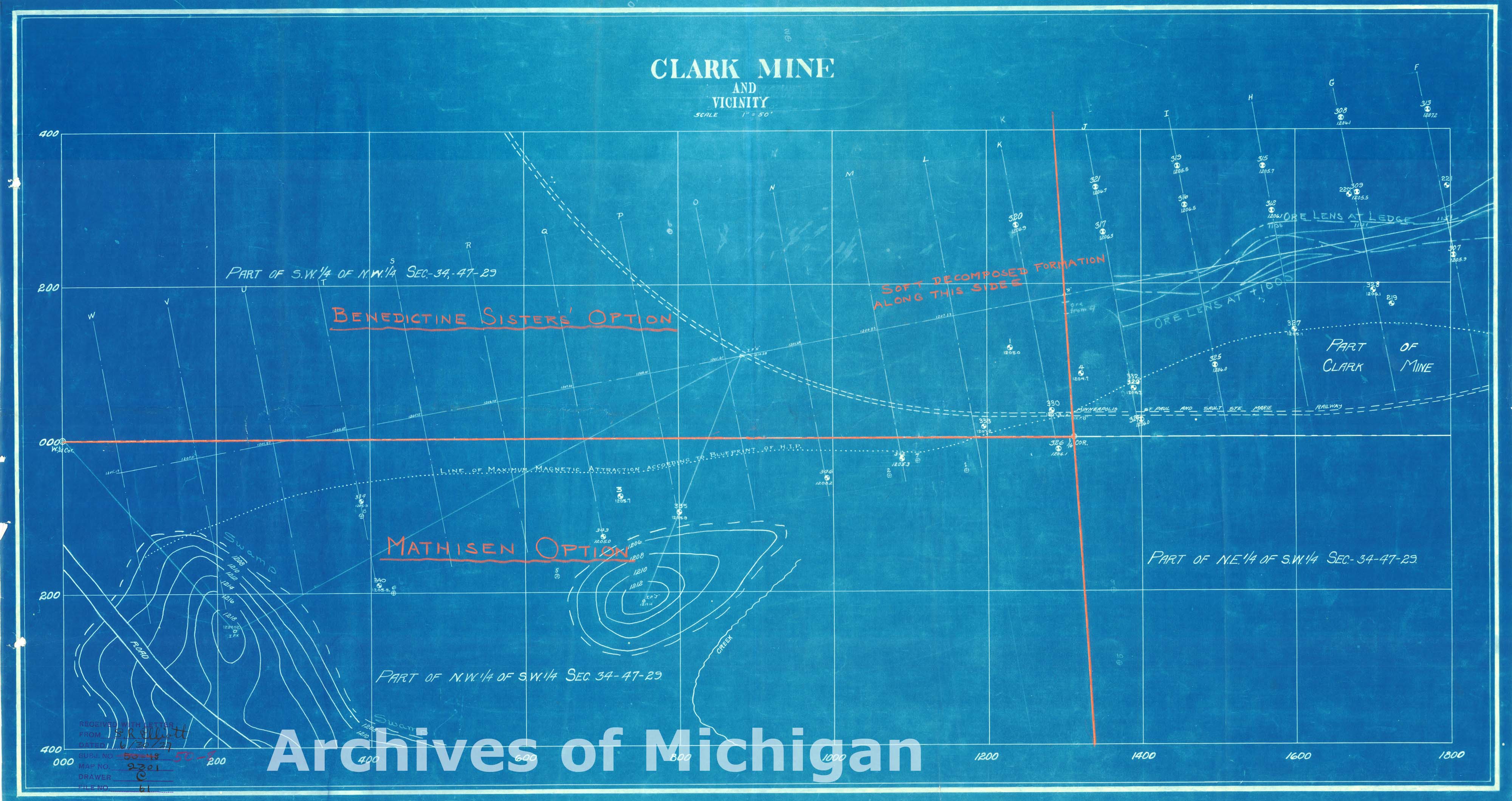
|
||||||||||||||||
|
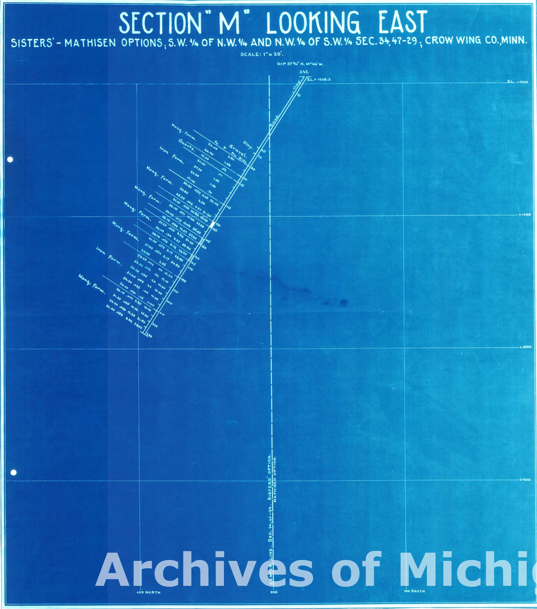
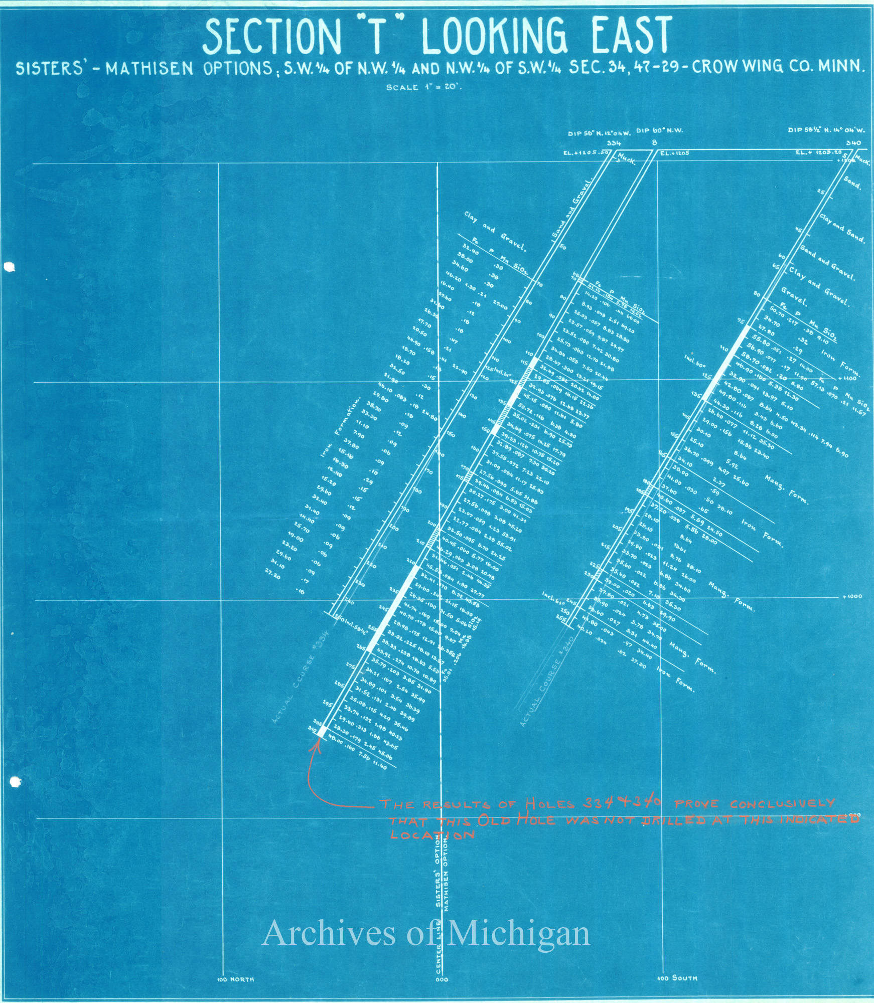
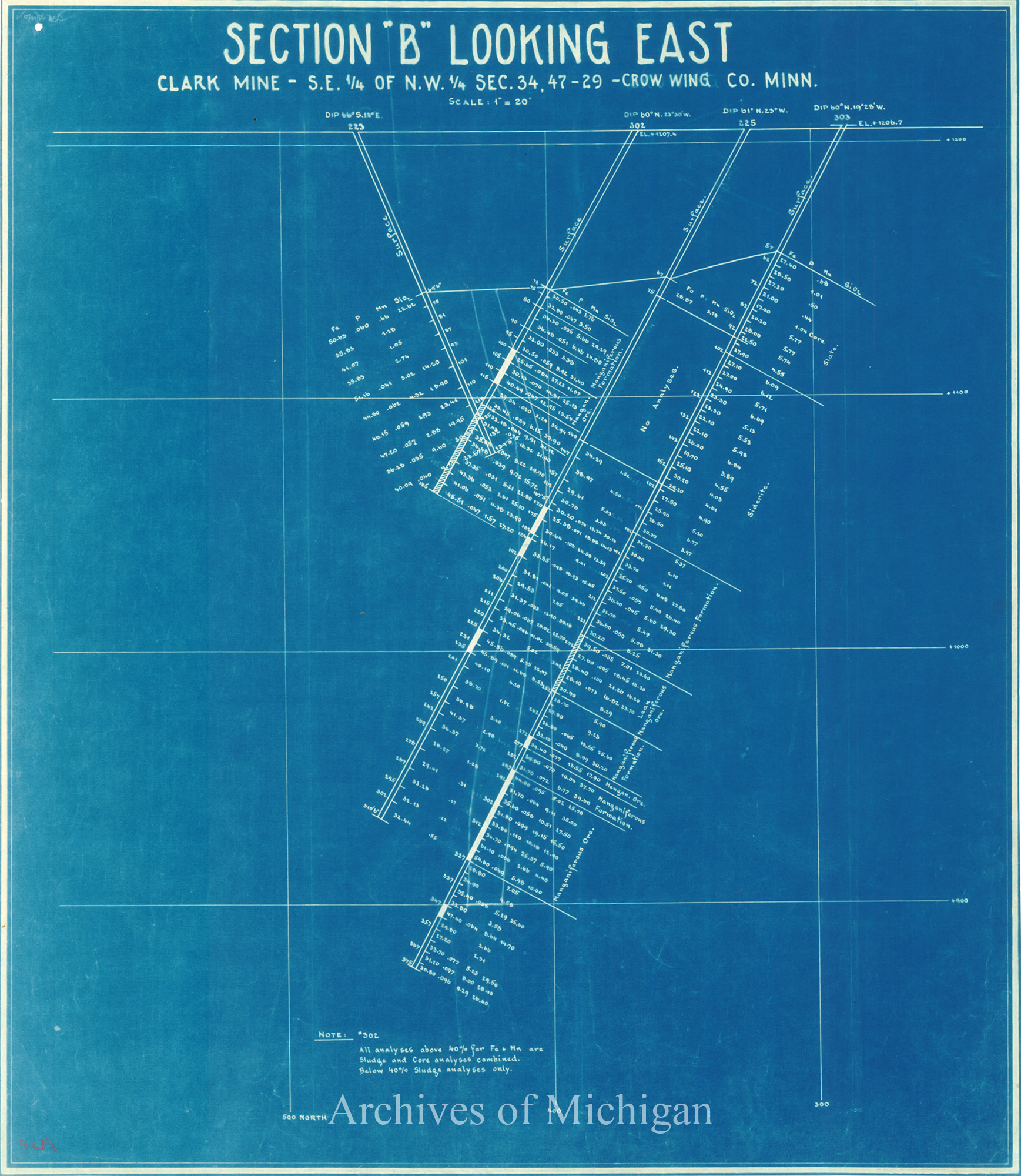
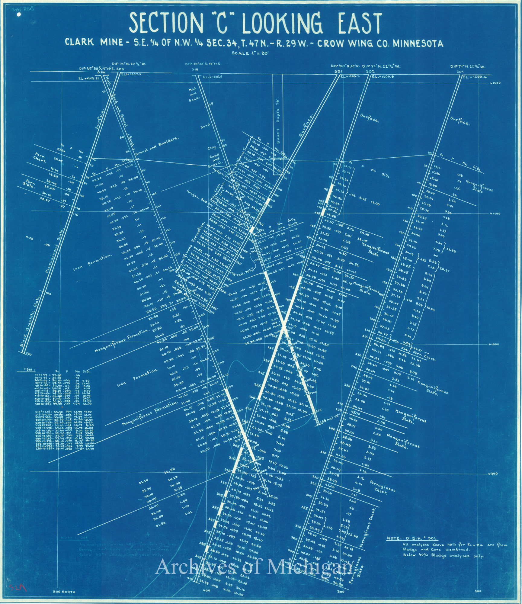
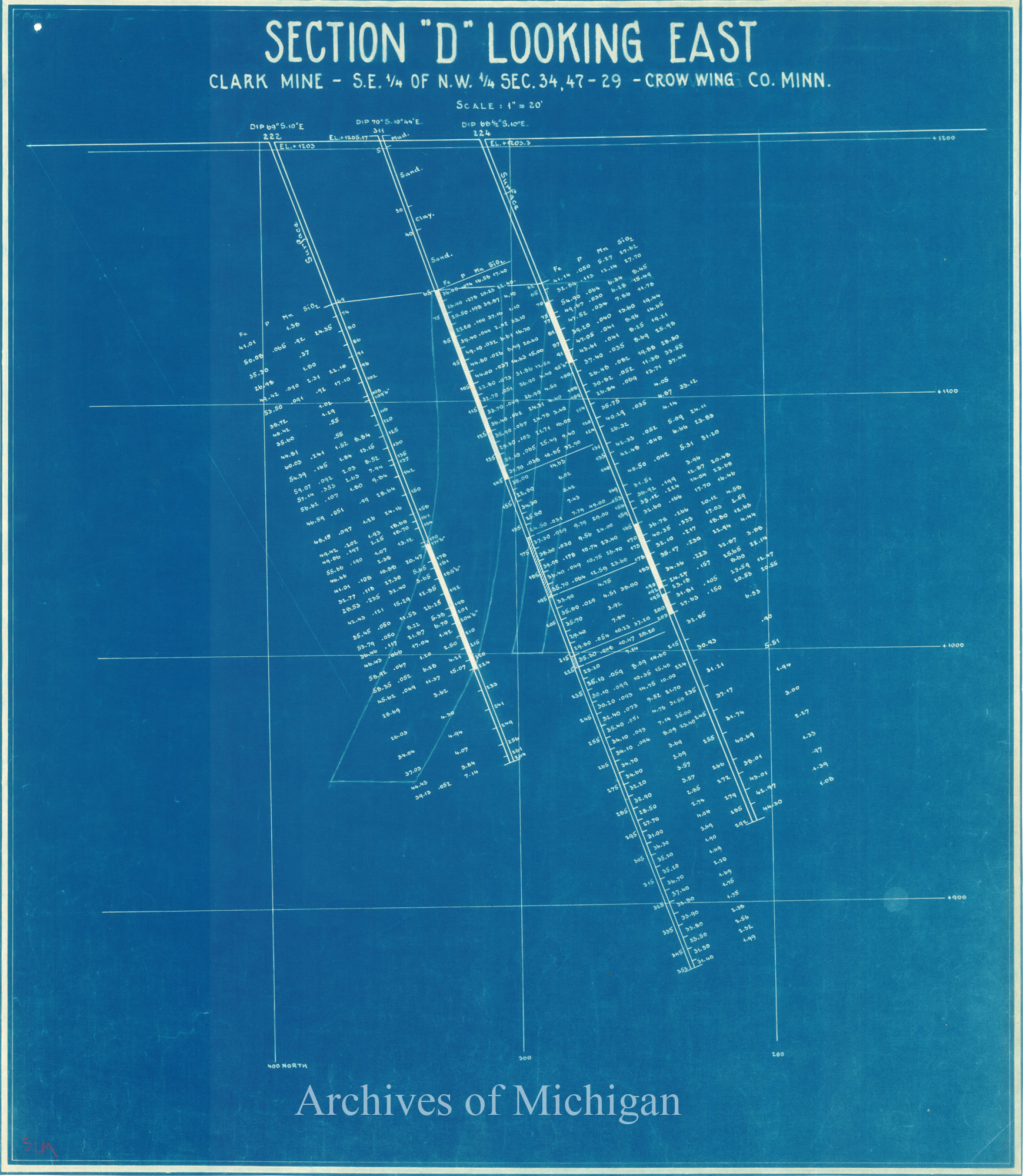
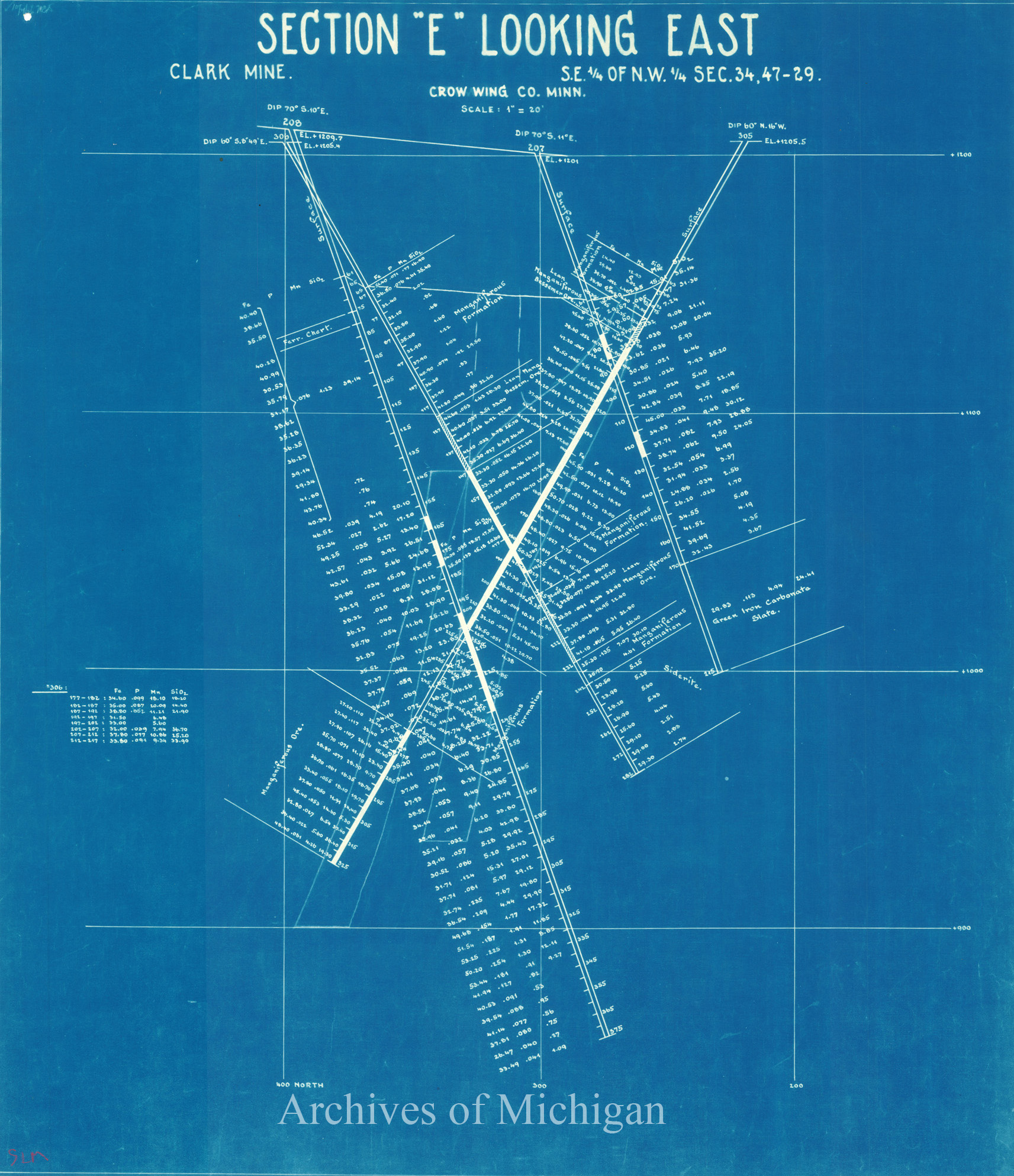
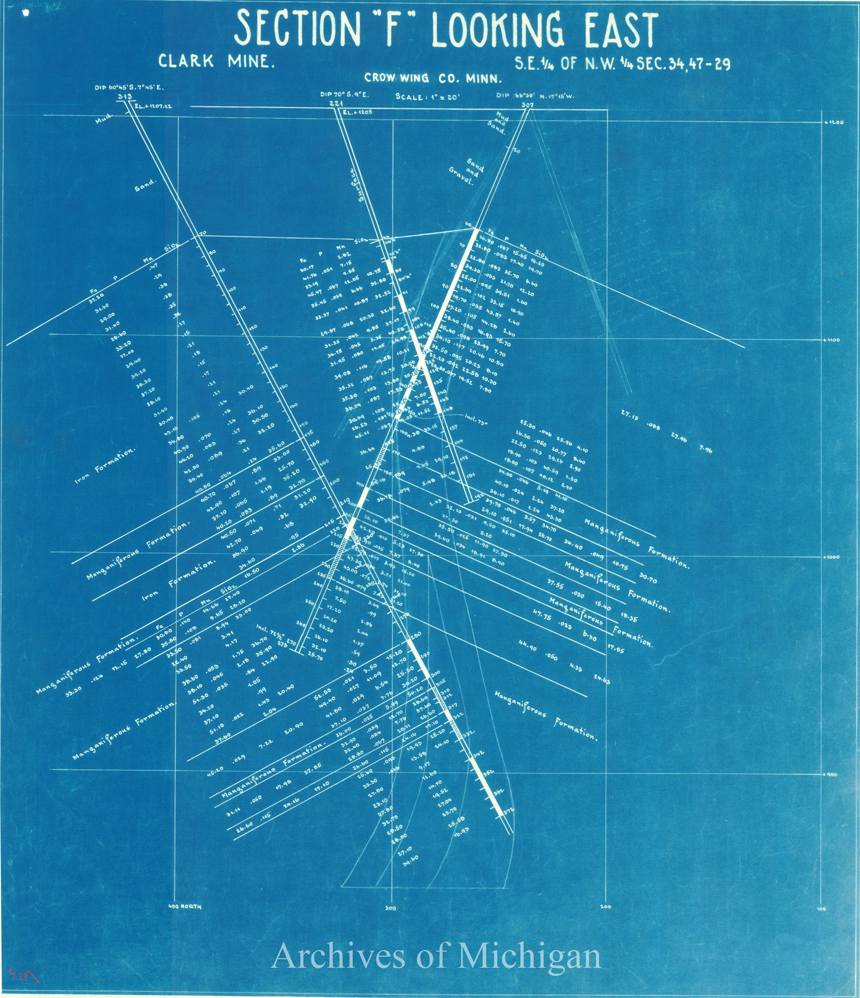
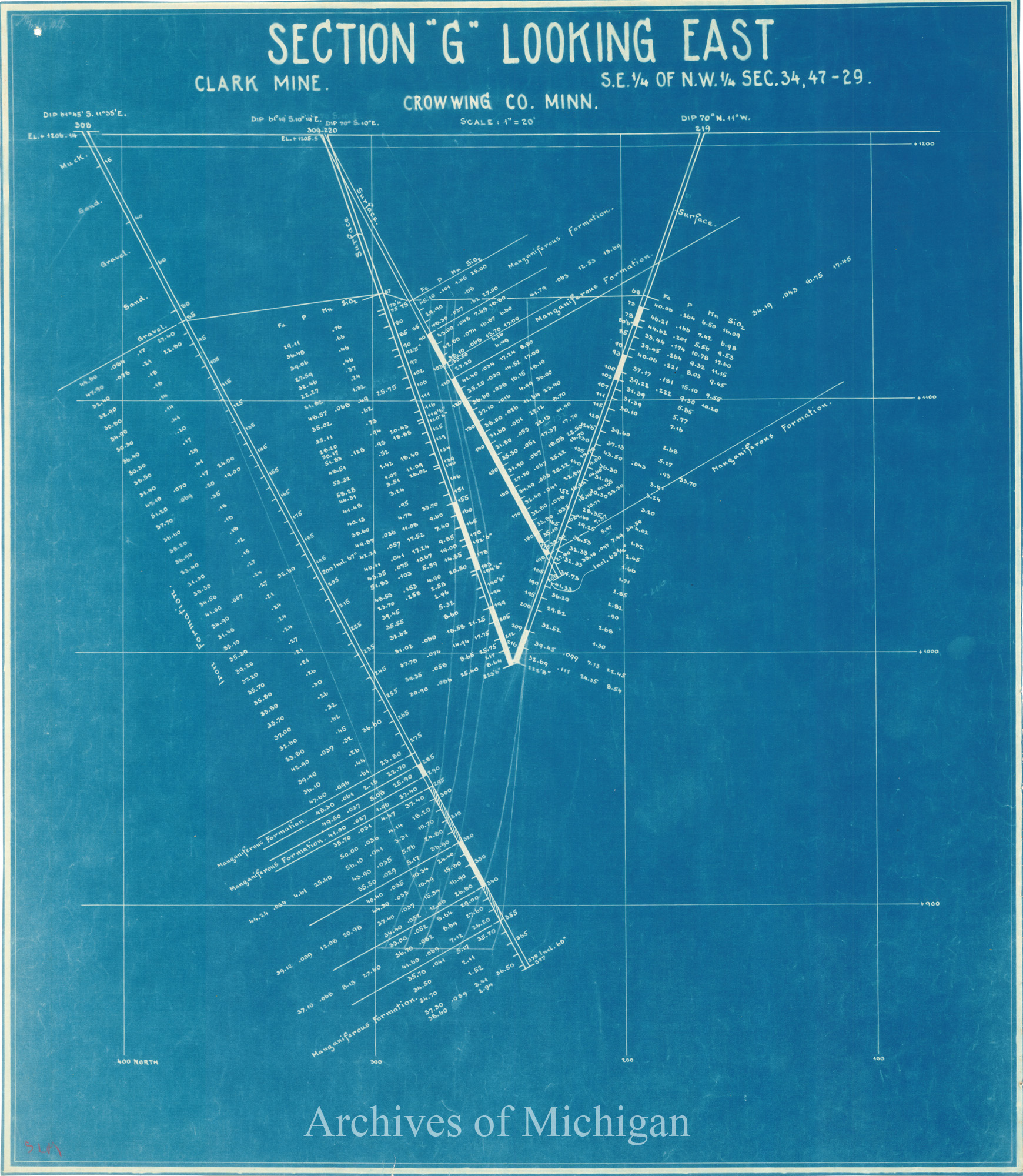
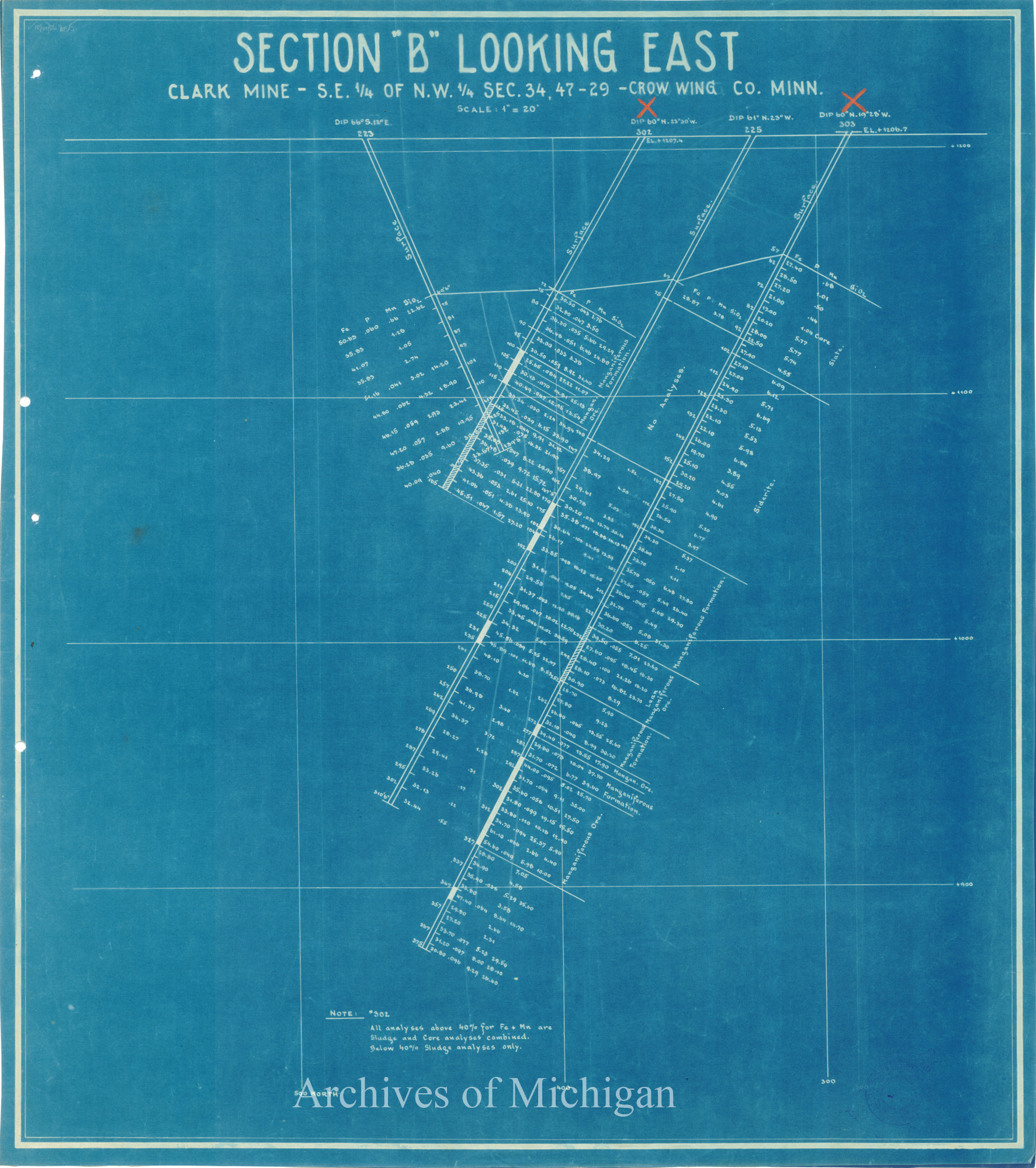
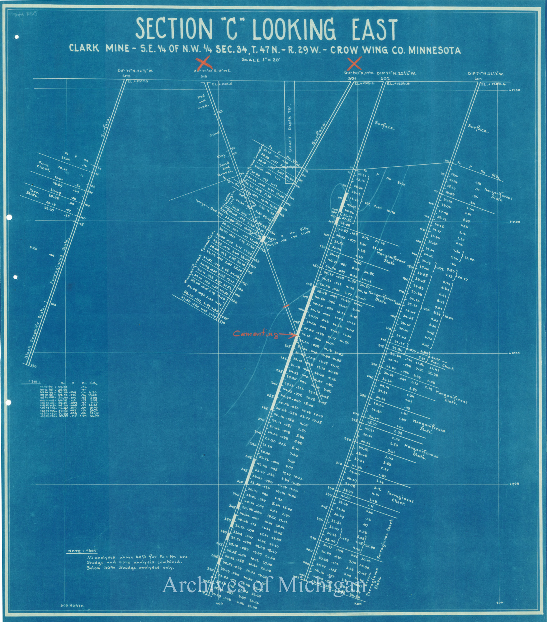
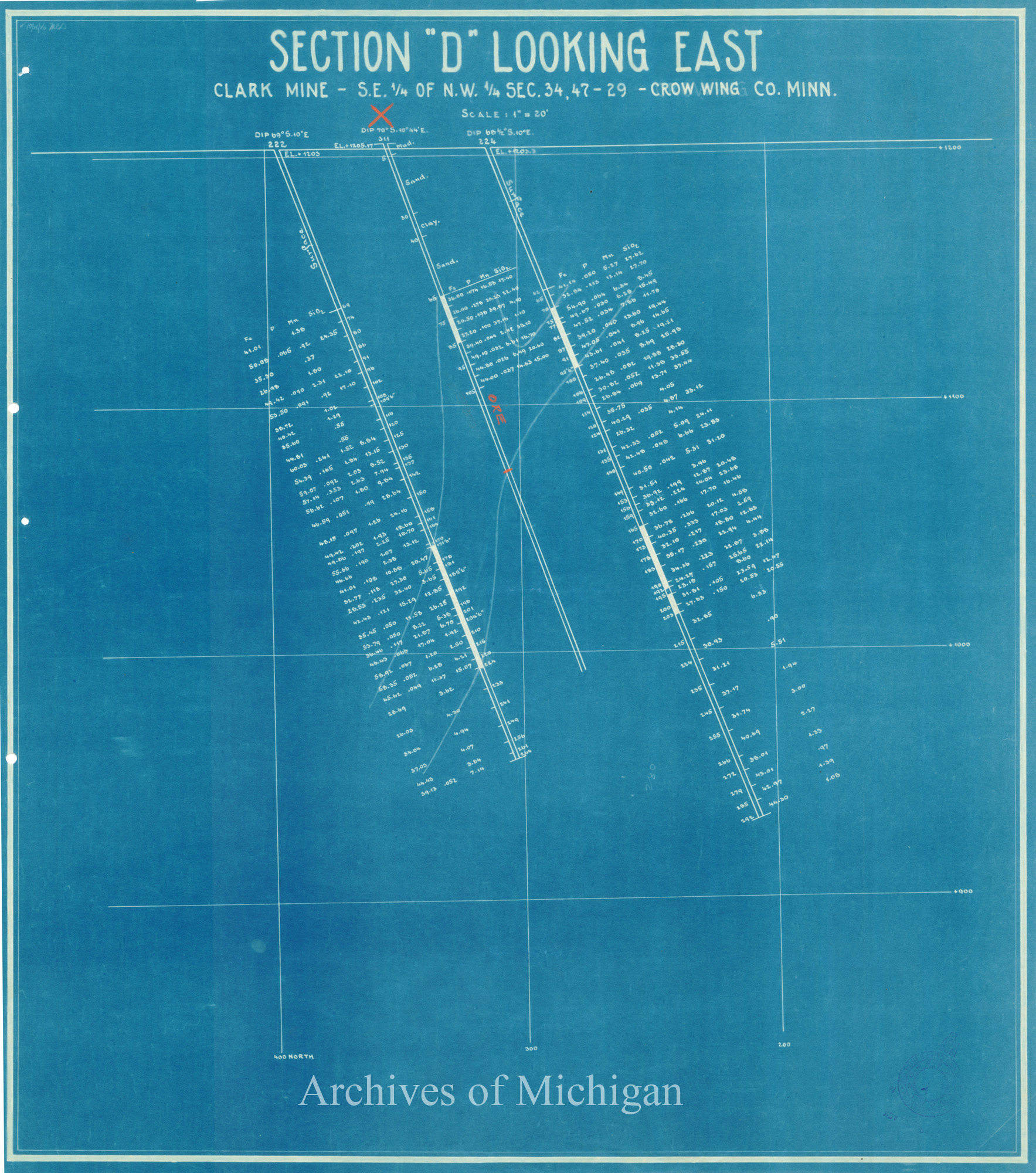
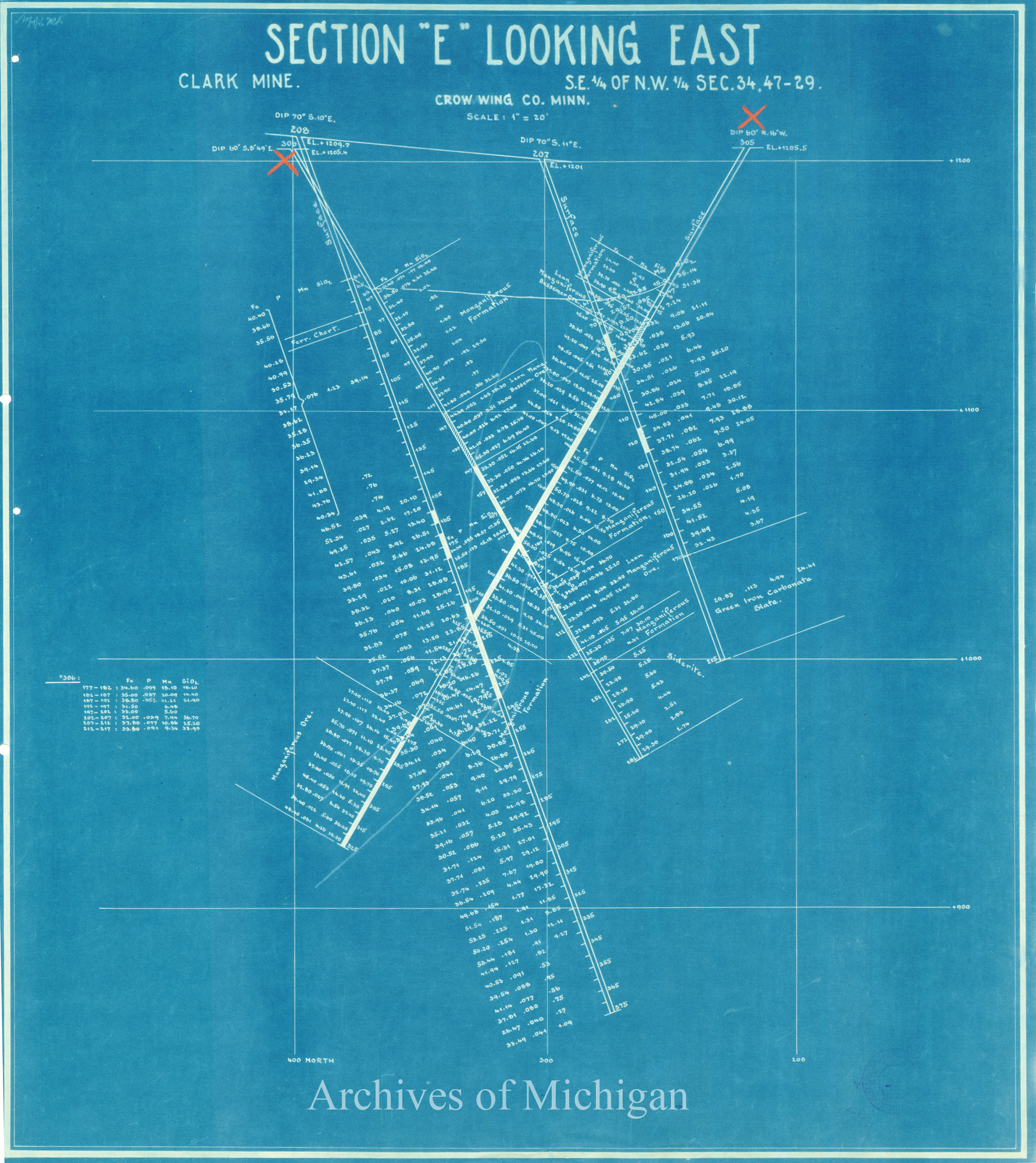
Sections "A"-Sections "G" Looking East Clark Mine (in Minnesota) 1926 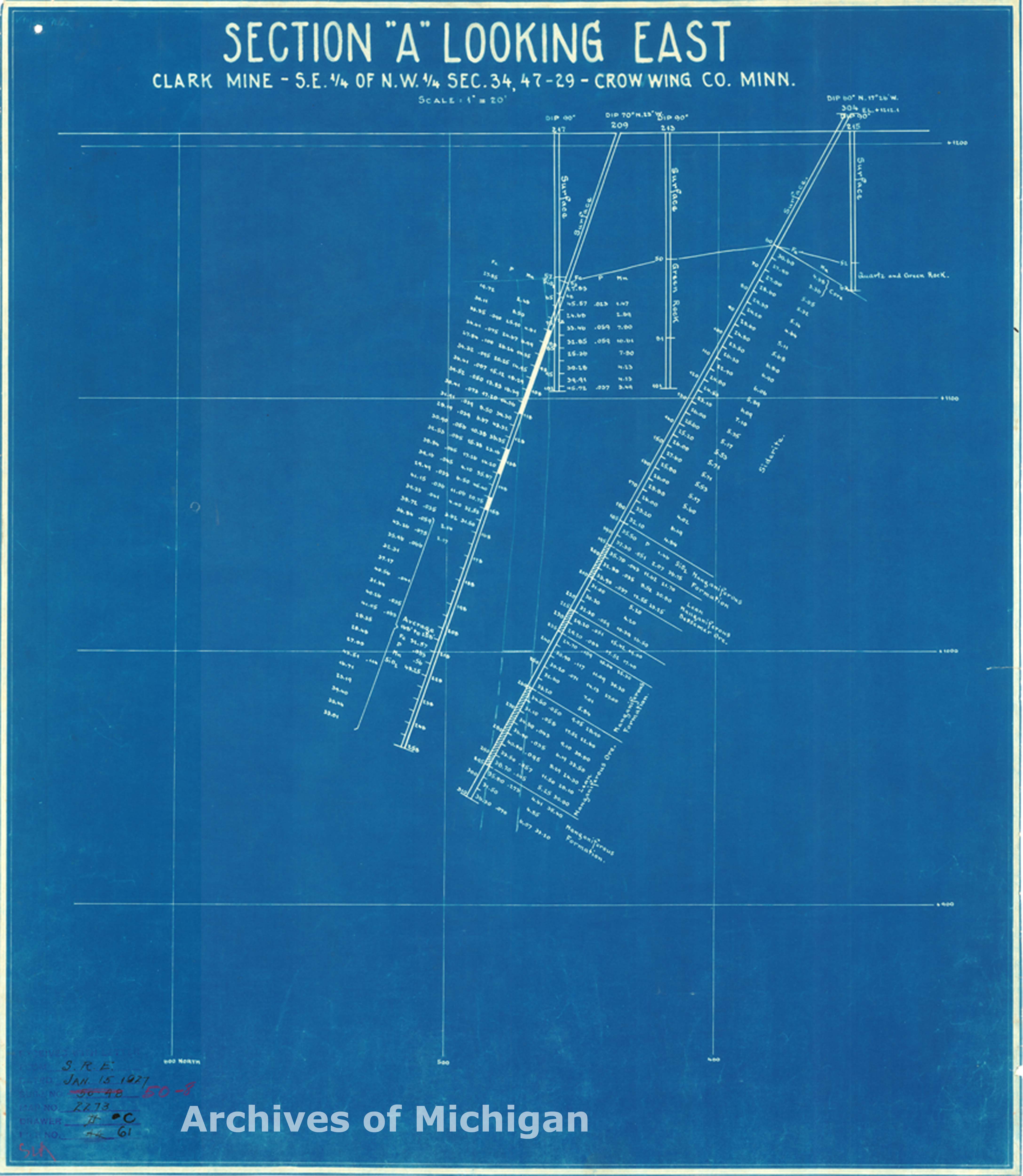
|
||||||||||||||||
|
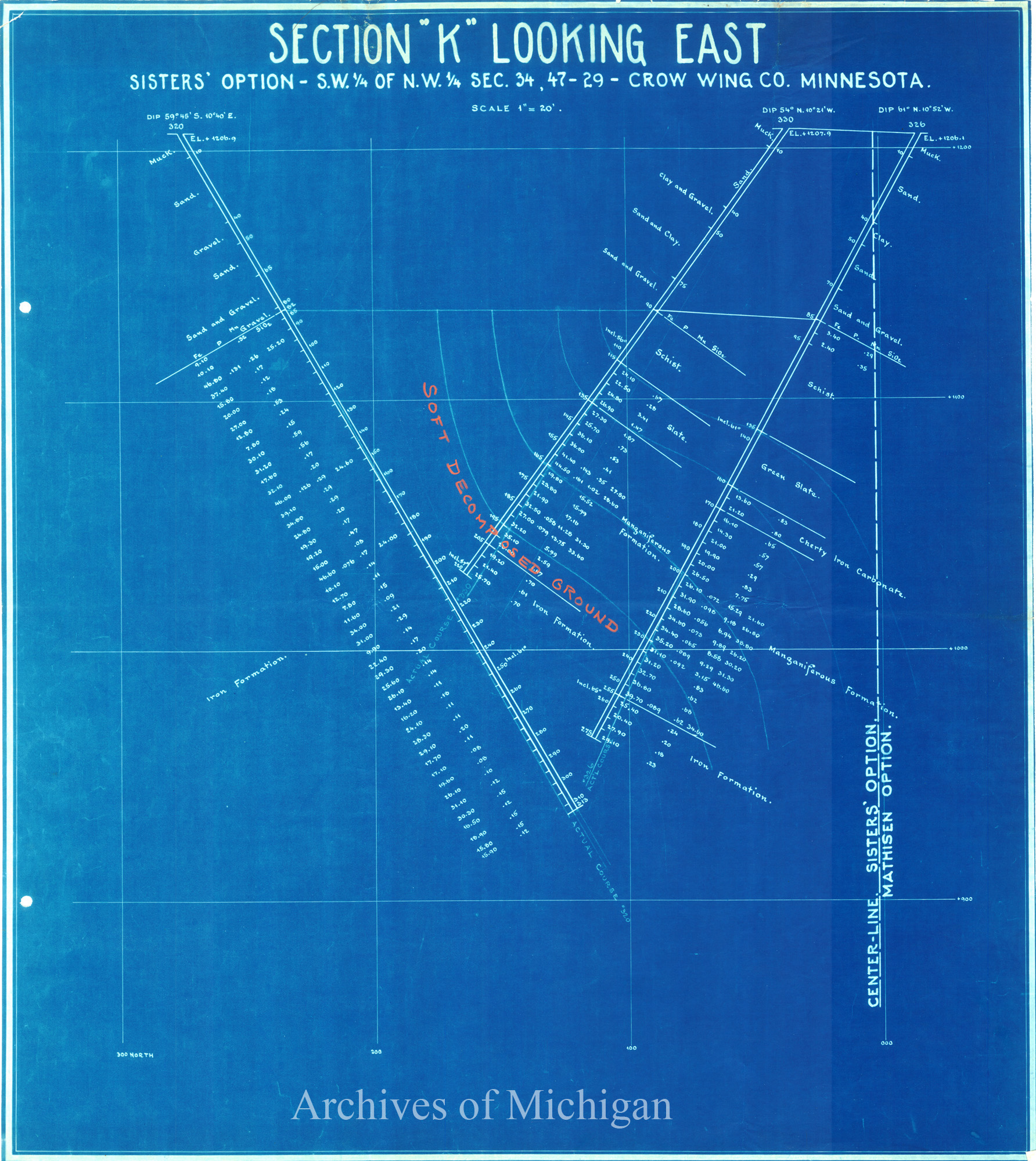
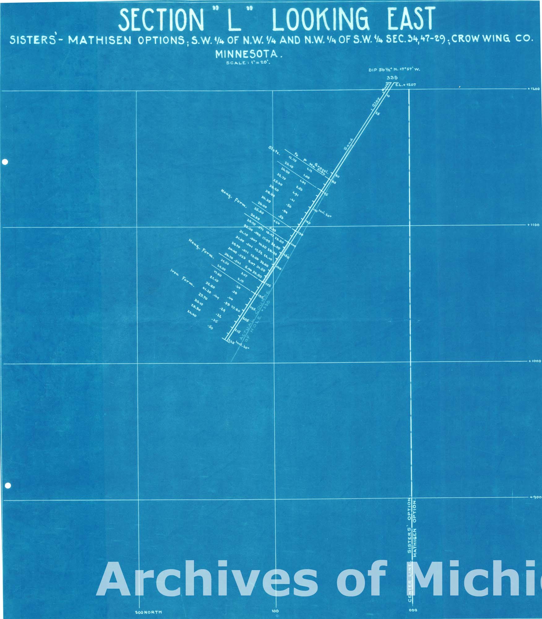
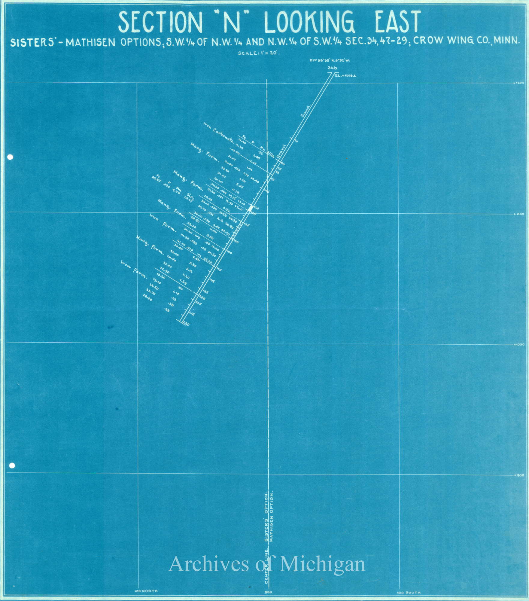
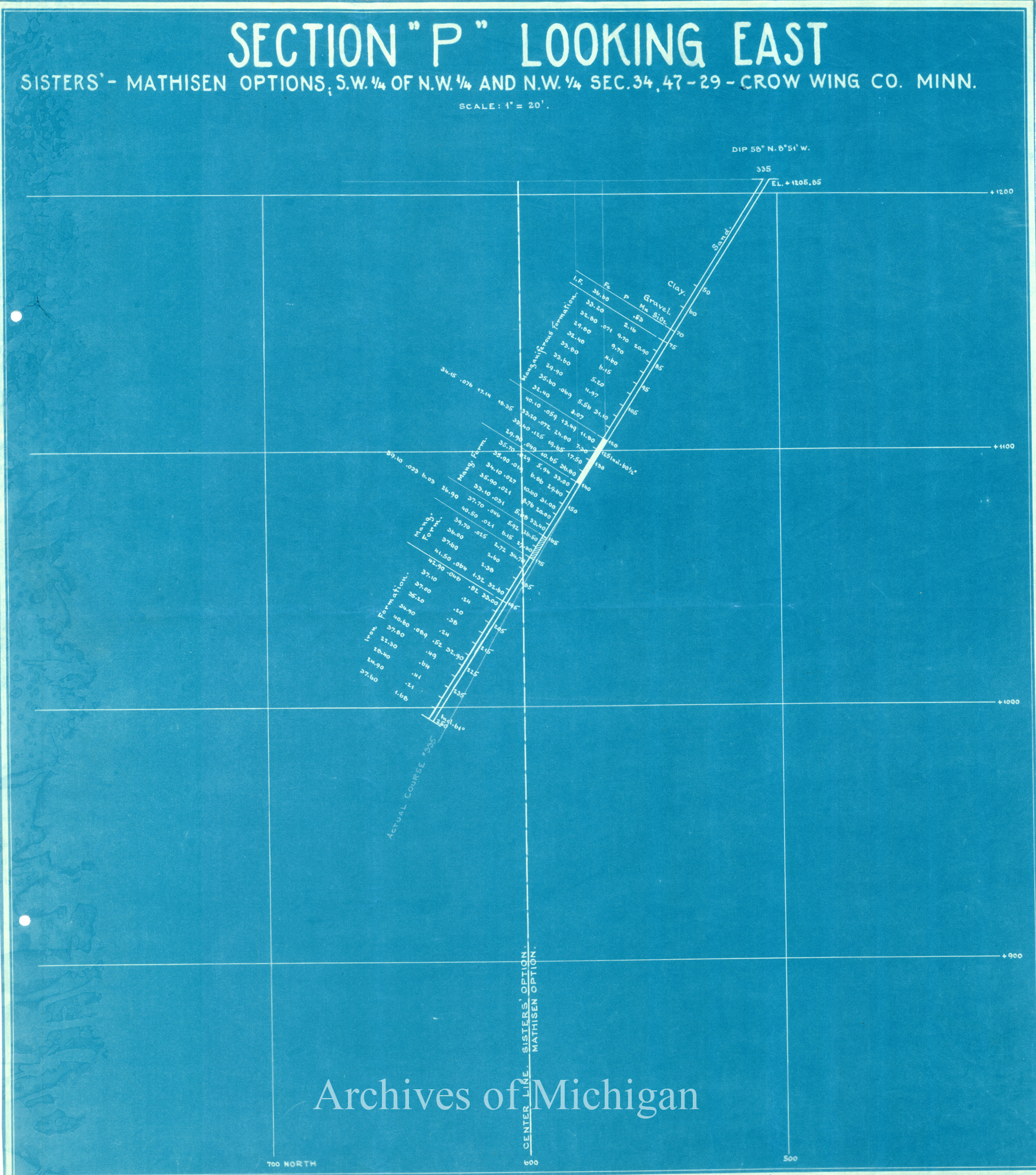
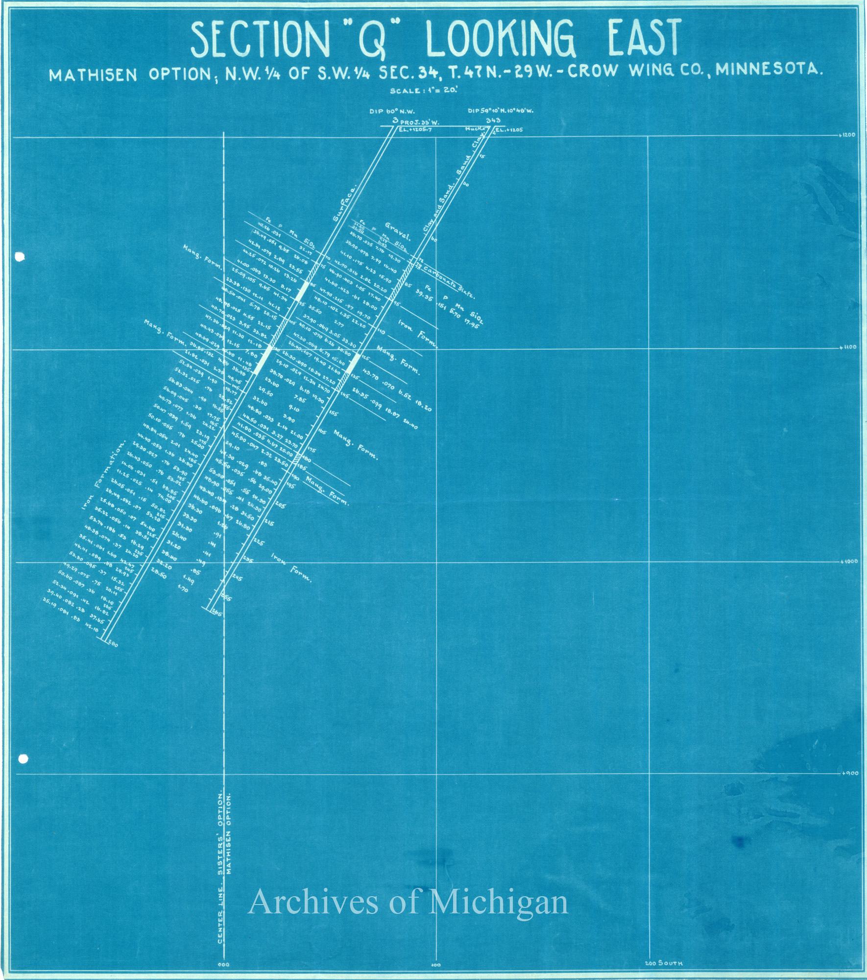
Clark Mine and Vicinity (in Minnesota); Sections K-N; P;Q;T Looking East 1927 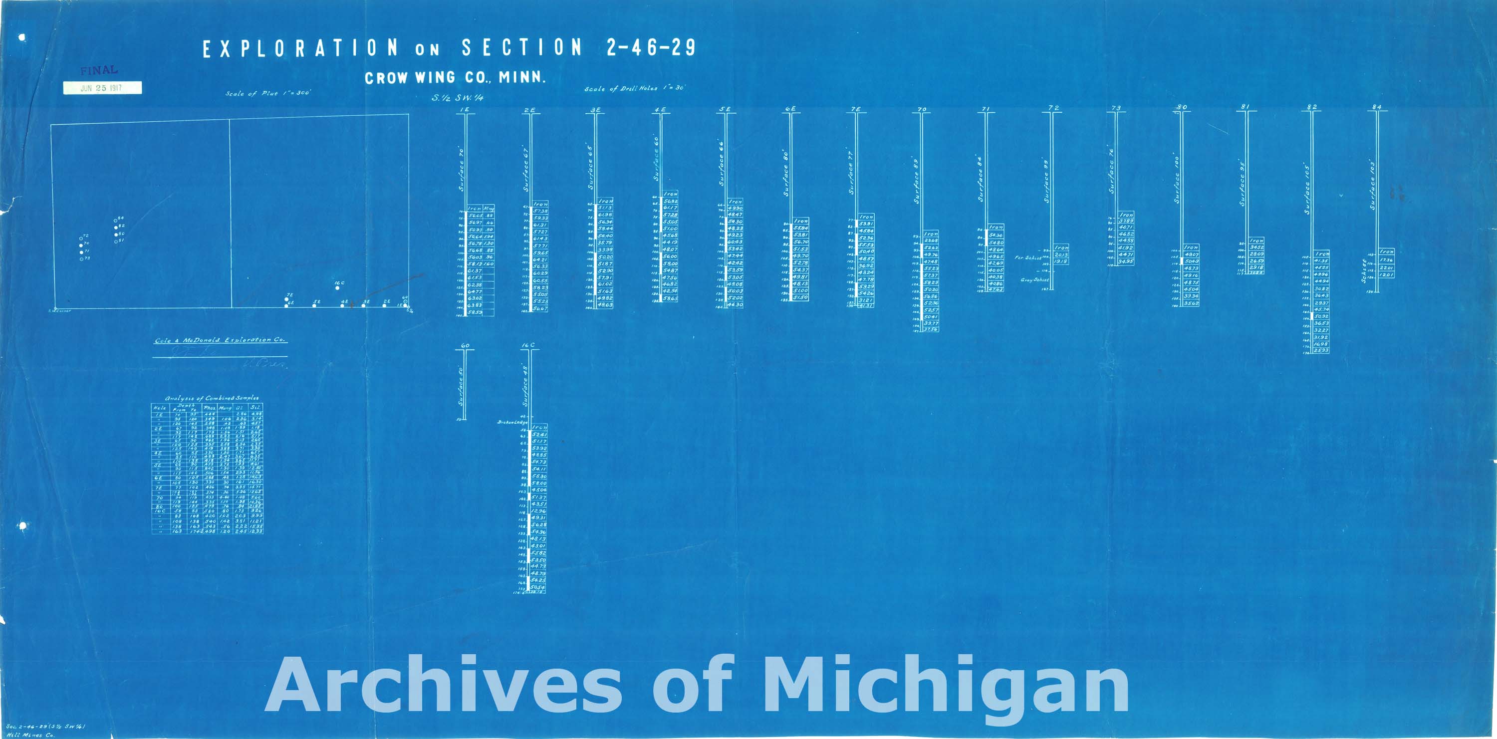
|
||||||||||||||||
|
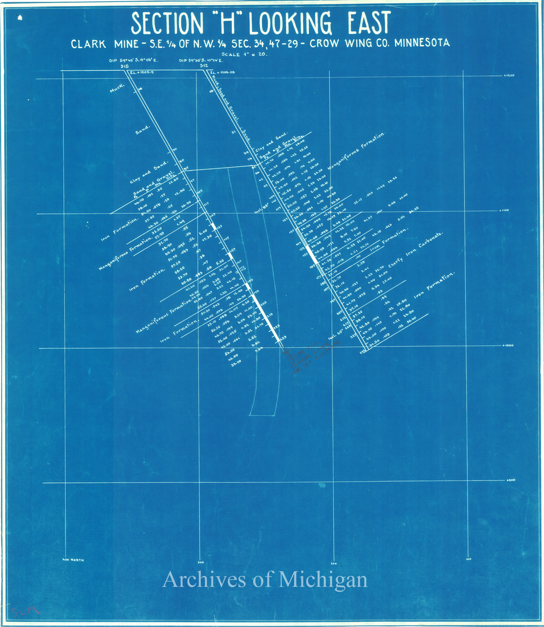
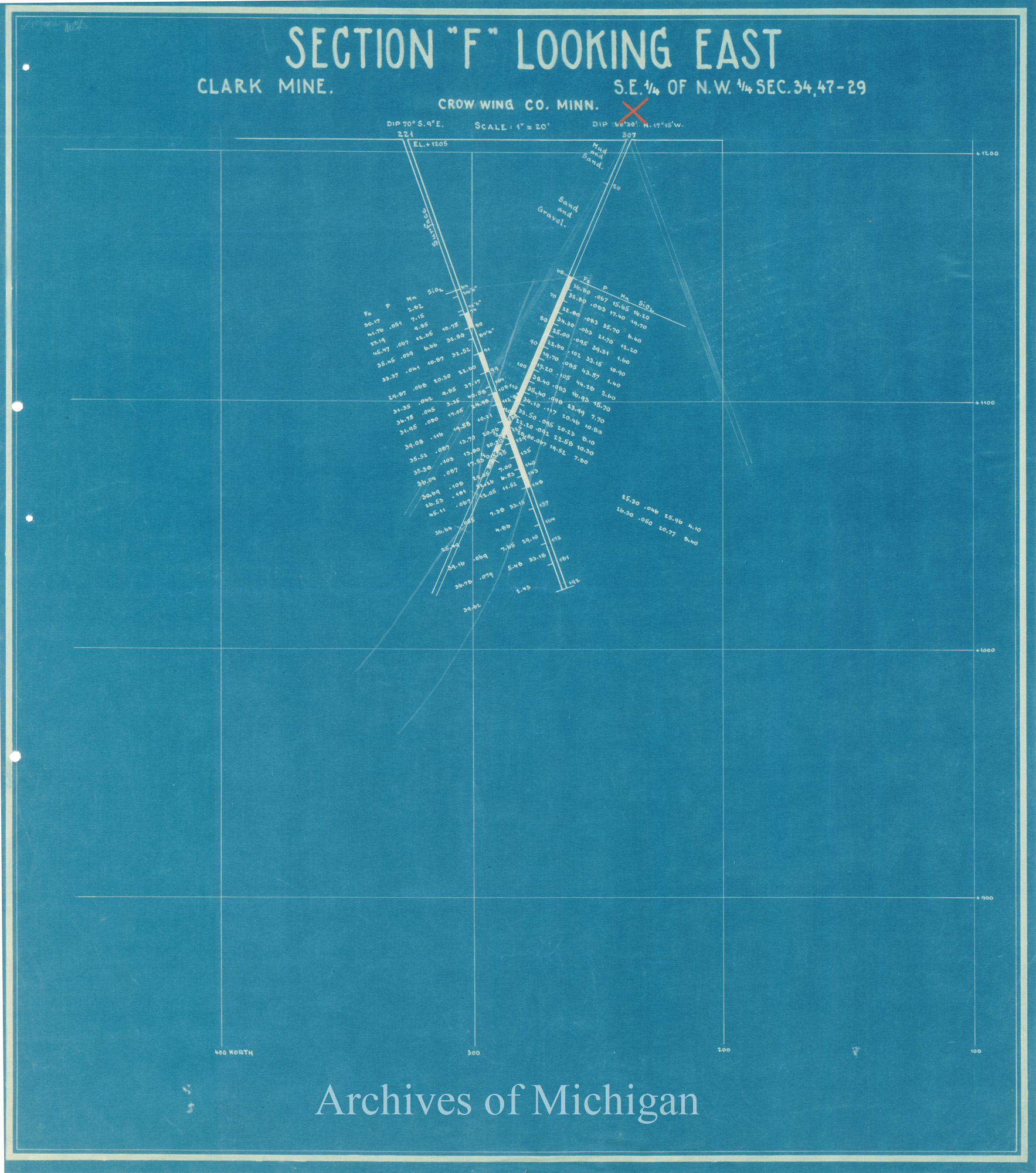
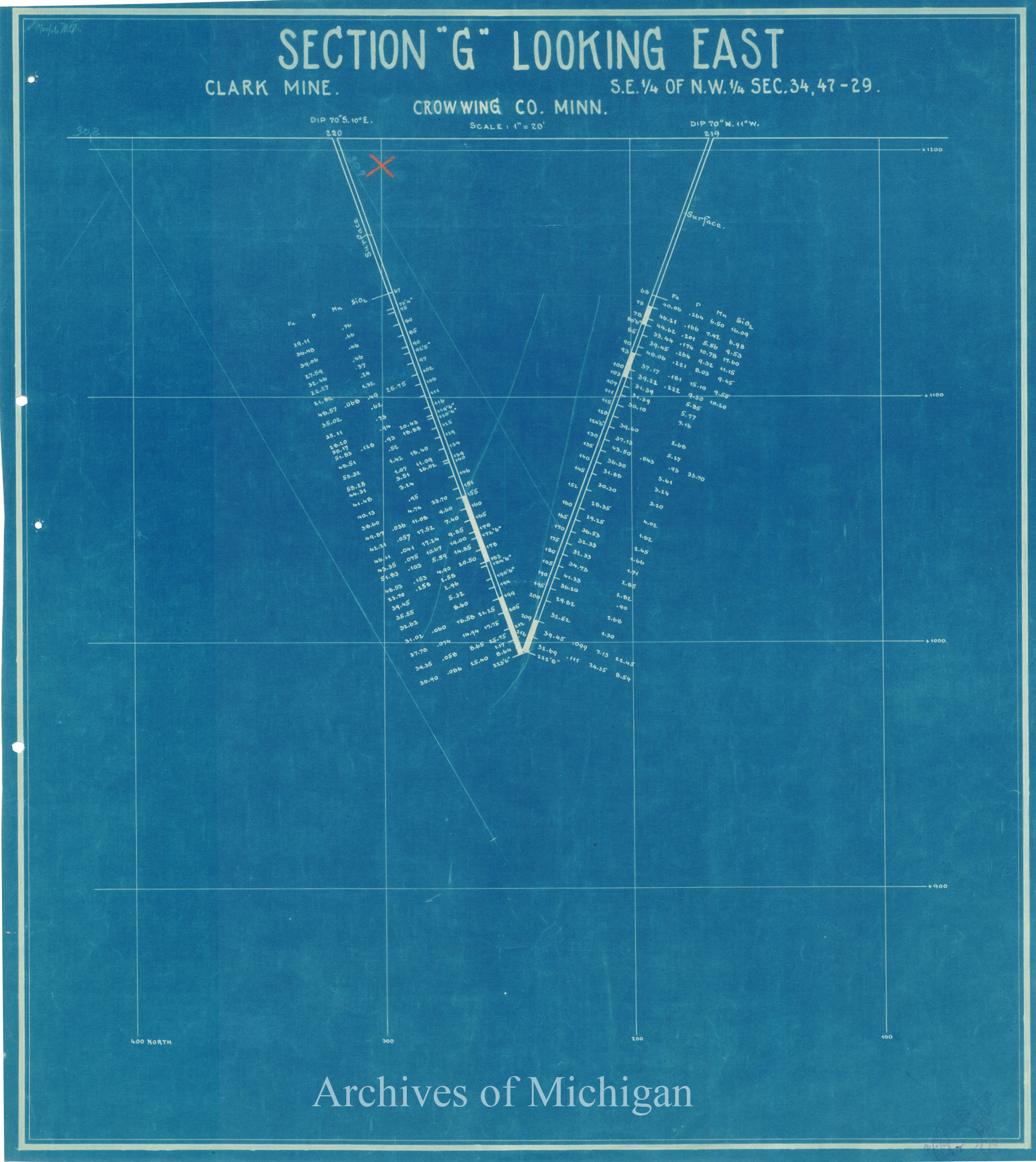
Section "A"-Section "H" Looking East Clark Mine (in Minnesota) (8 maps) 1927 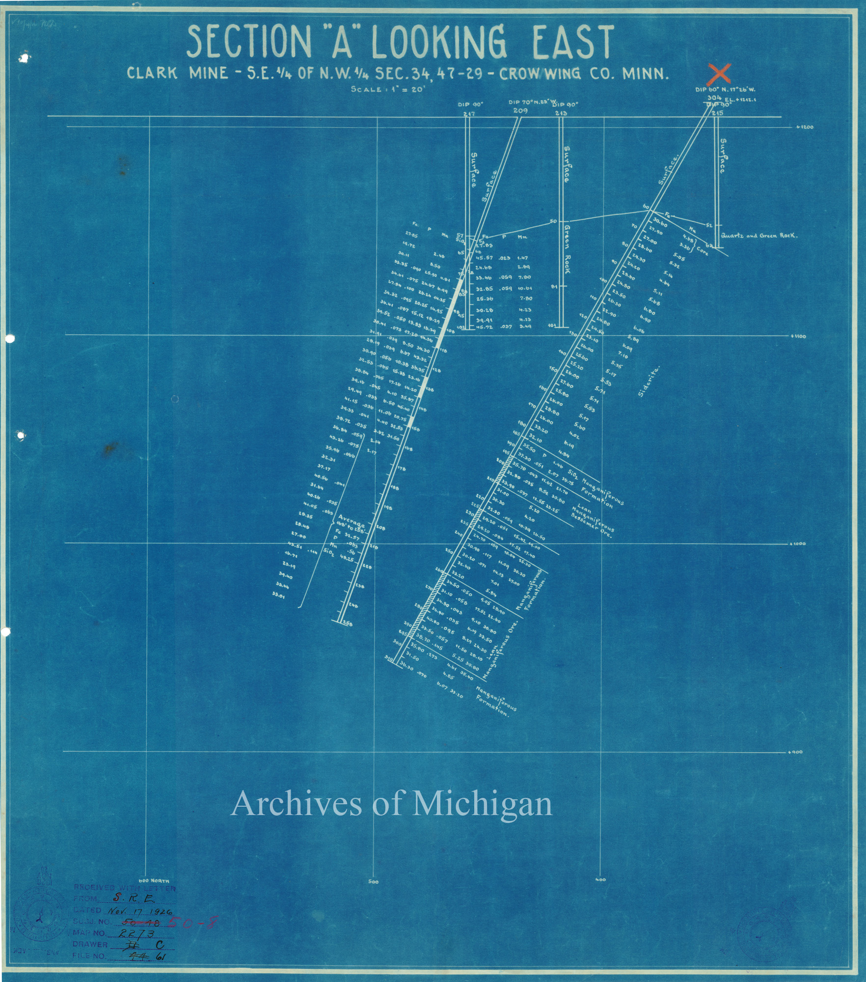
|
||||||||||||||||
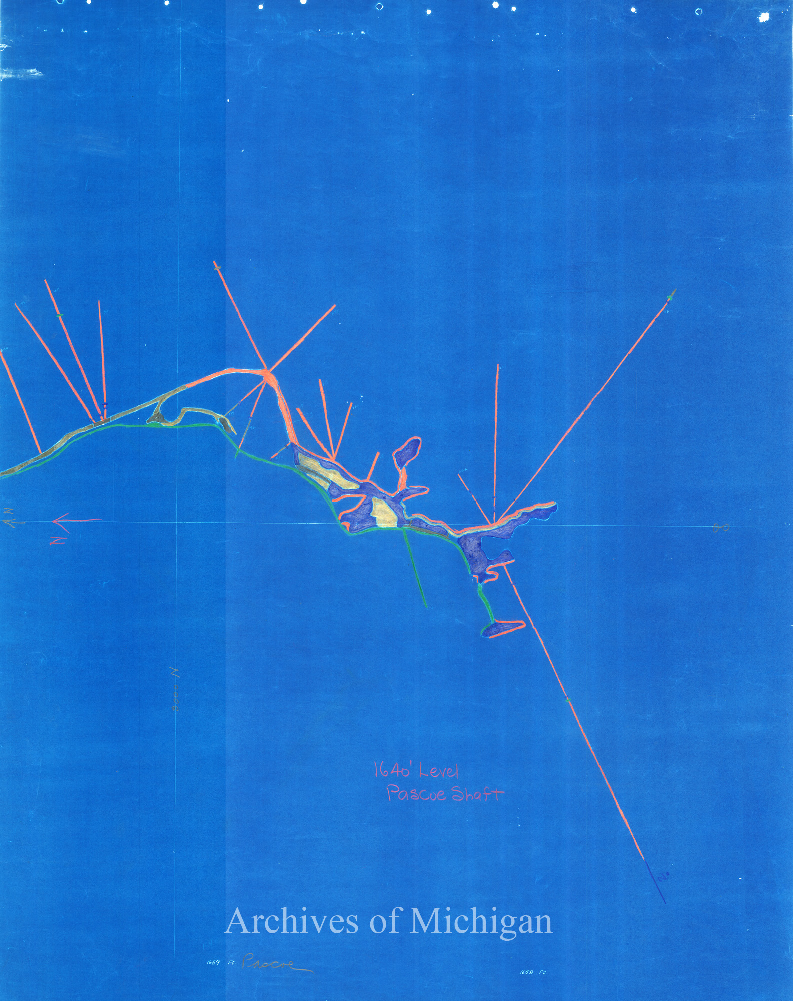
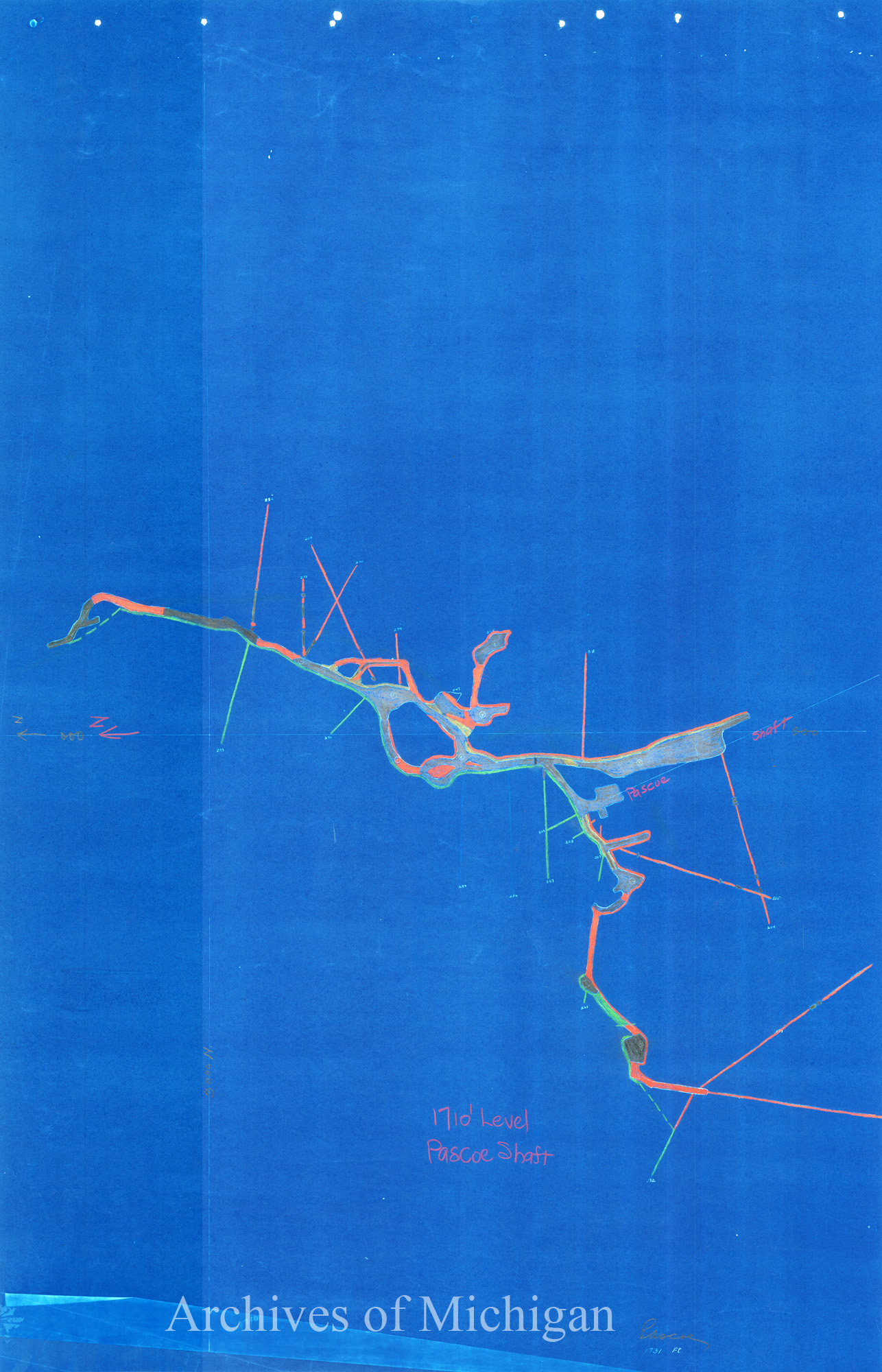
|
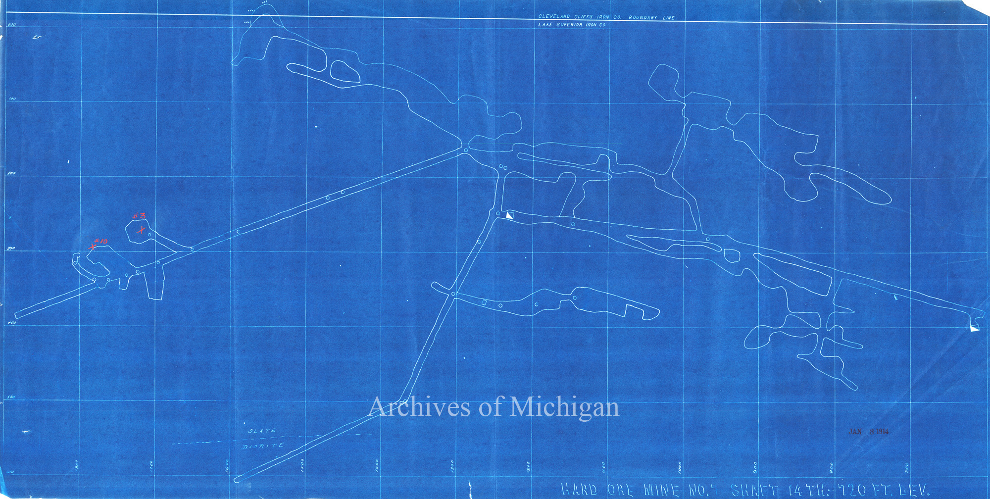
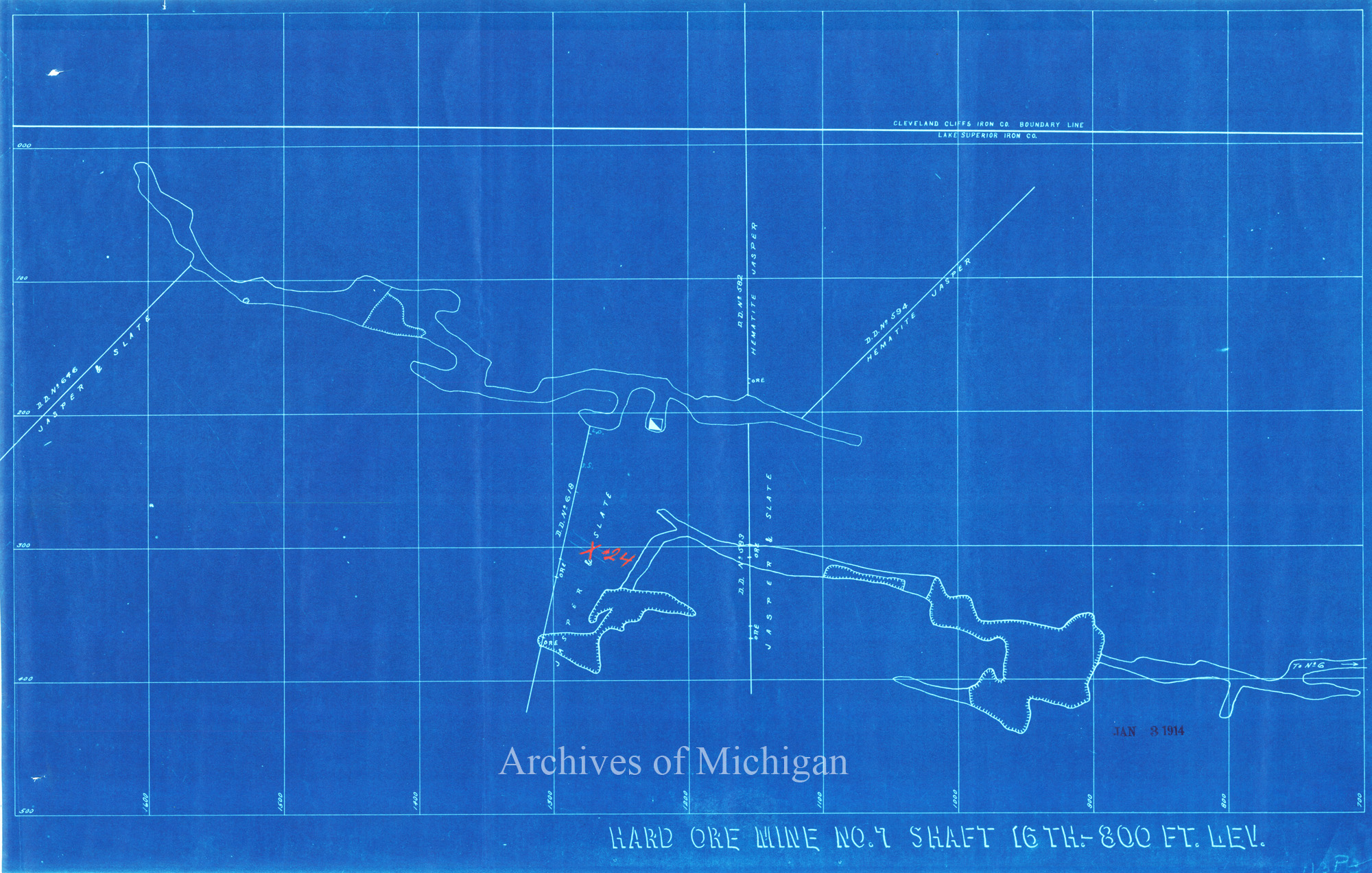
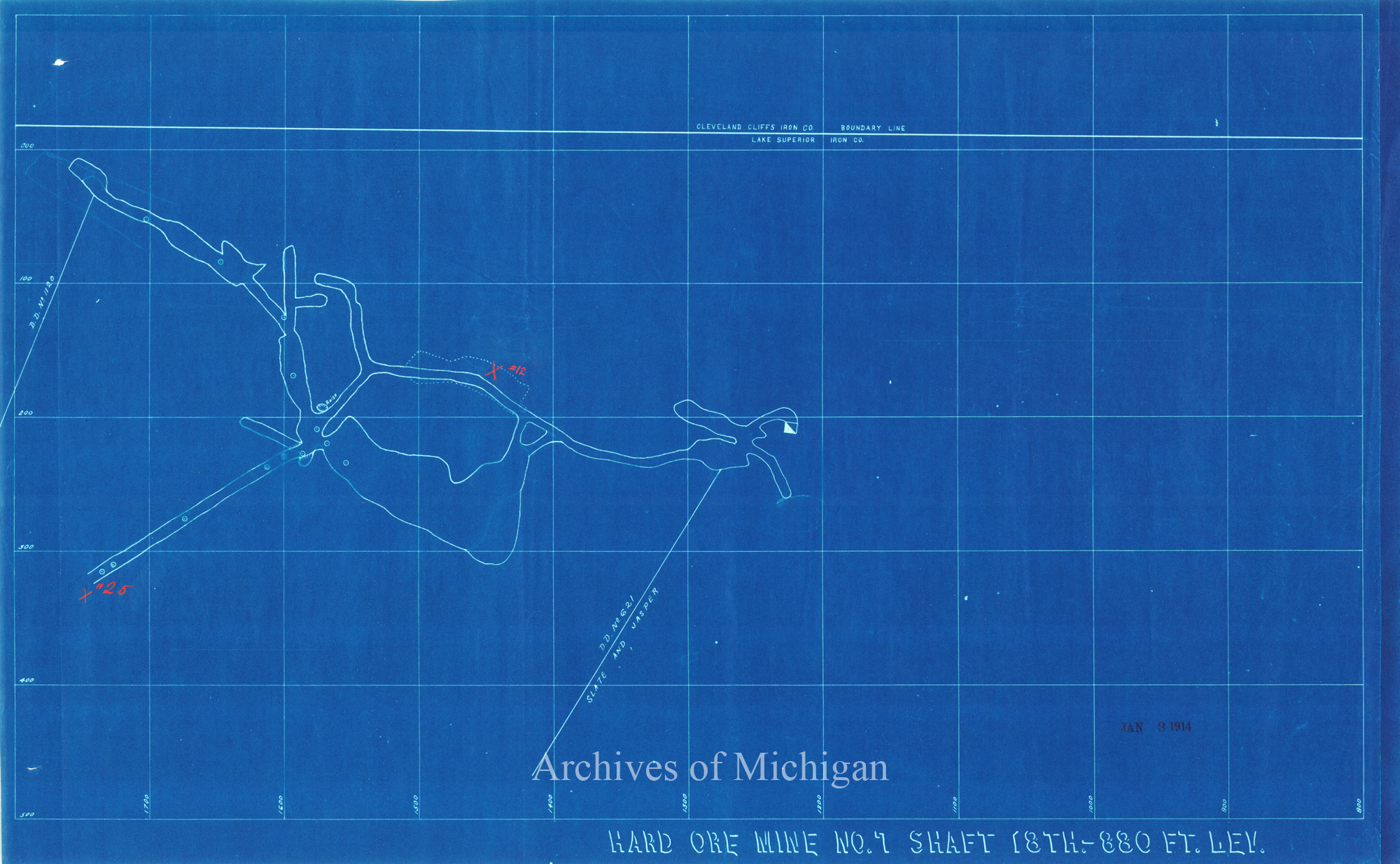
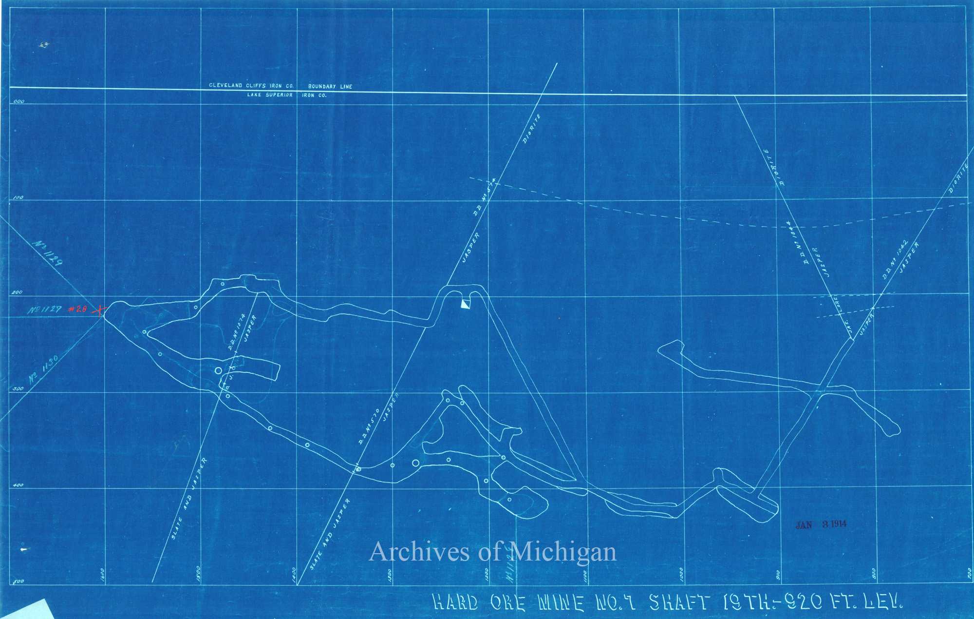
Map of Pescoe Mine Shaft (9 maps) 1910 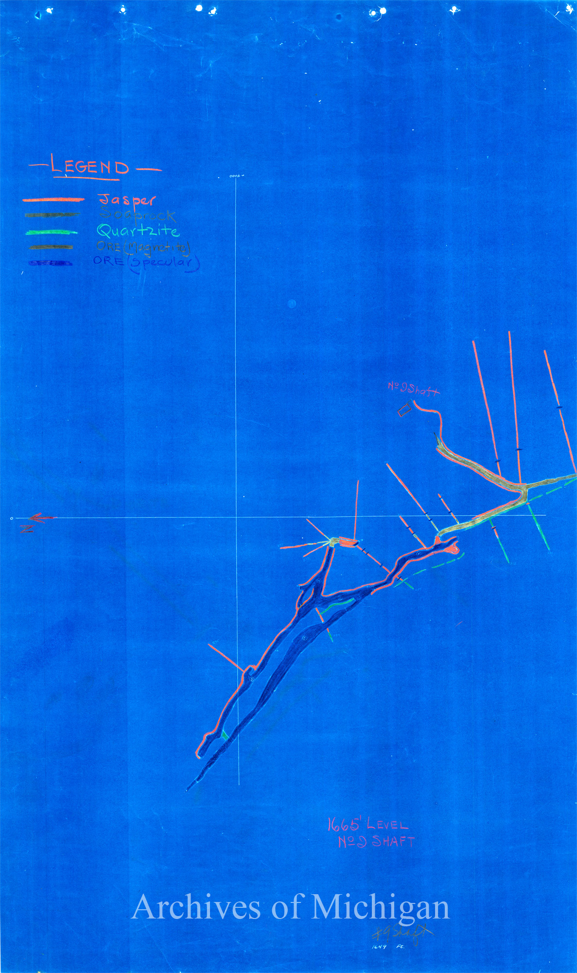
|
||||||||||||||||
|
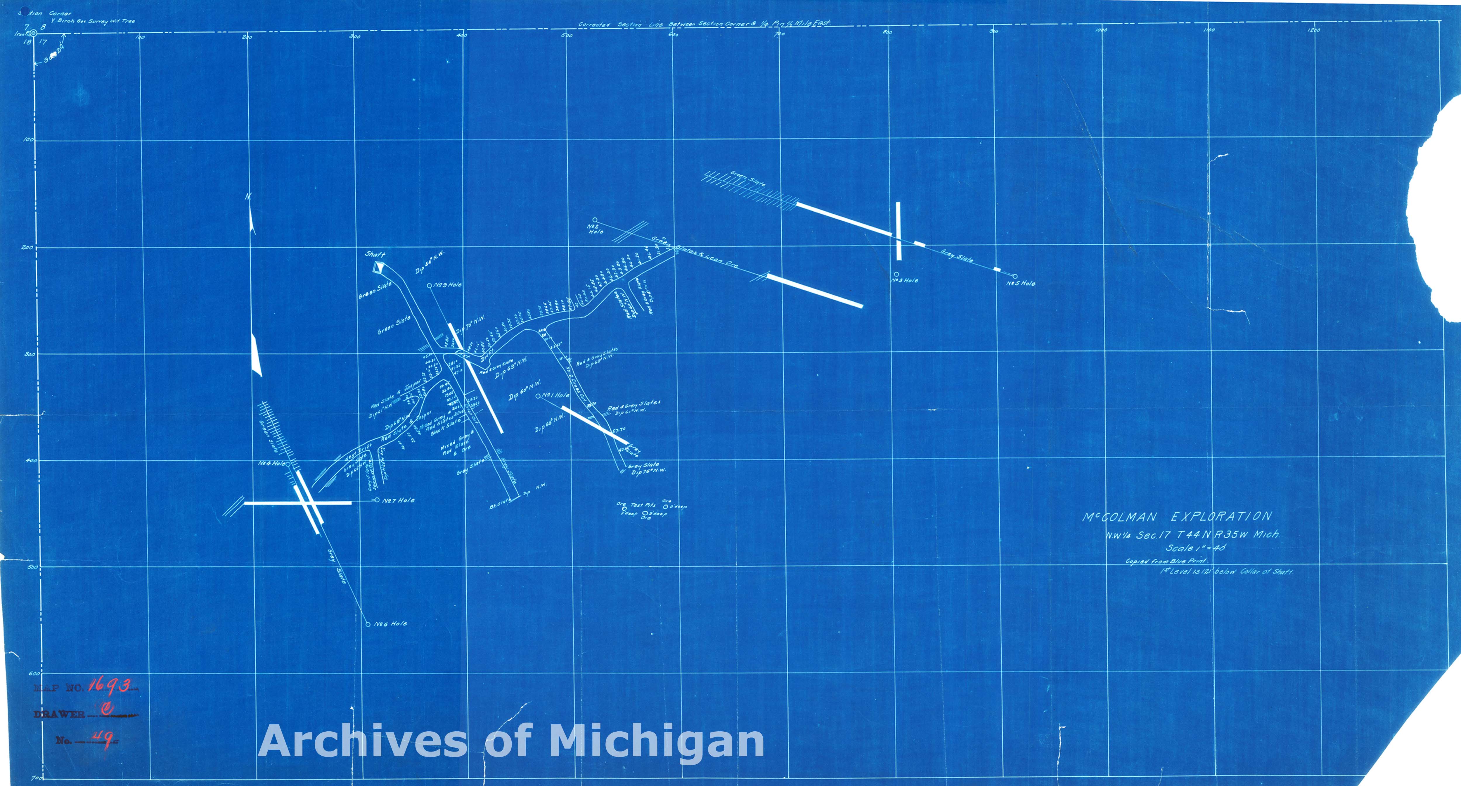
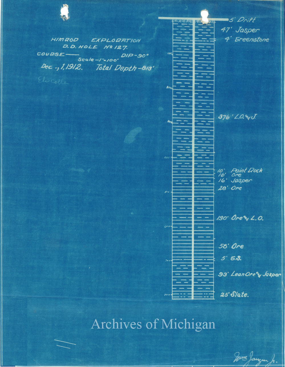
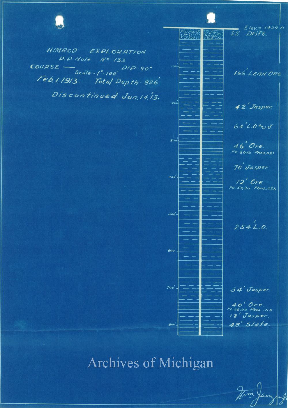
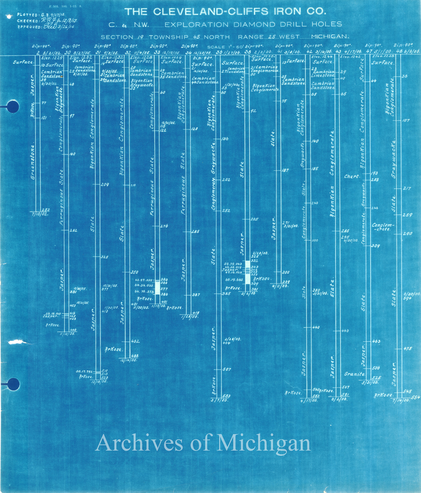
McColmon Exploration N.W. 1/4 Sec. 17T. 44 N.R.,35 W. Michigan., Iron River Township (2 maps) 1913 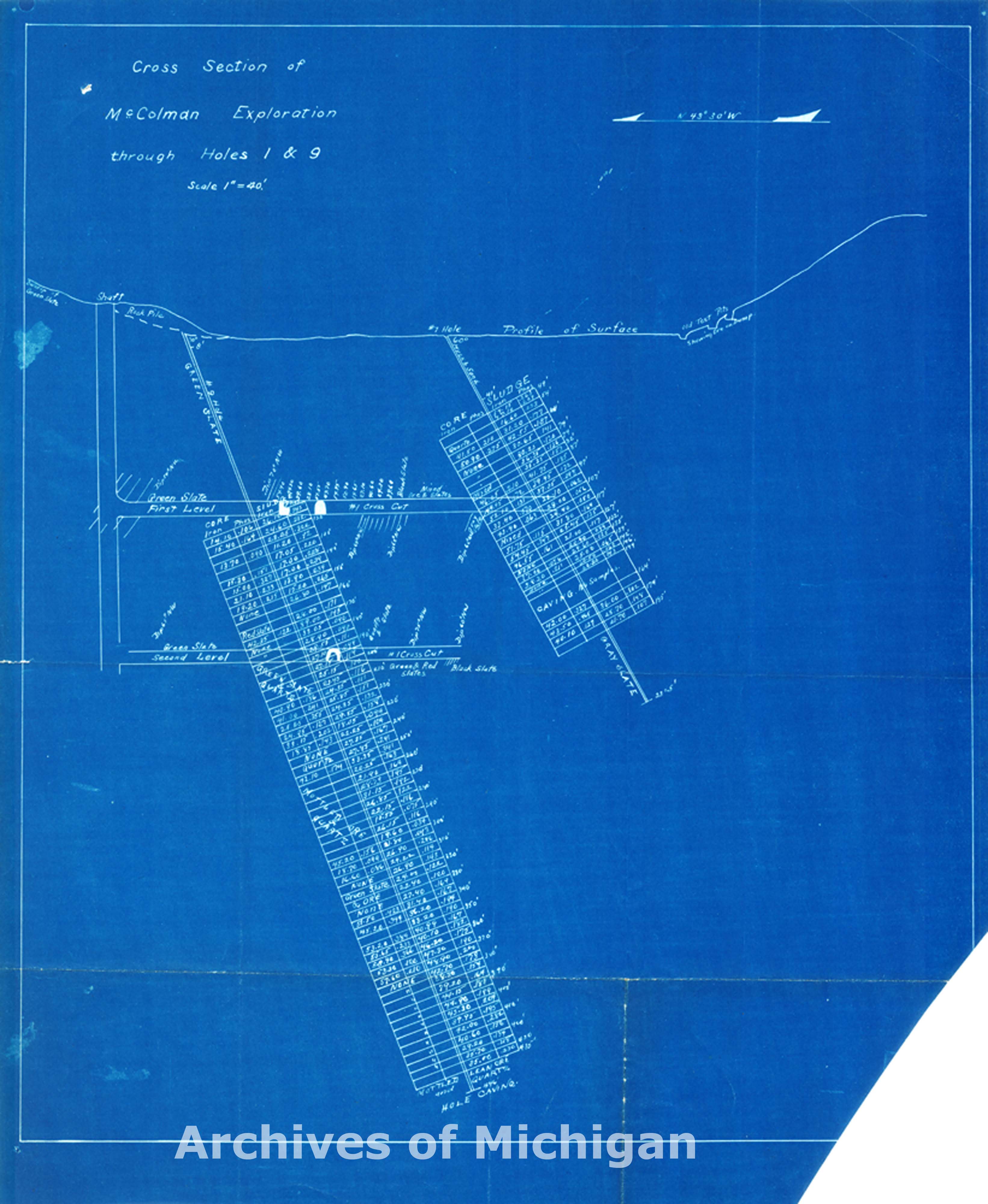
|
||||||||||||||||
|
Proposed Arrangements of Tracks in Cliff Shaft MineYard, Ishpeming 1898 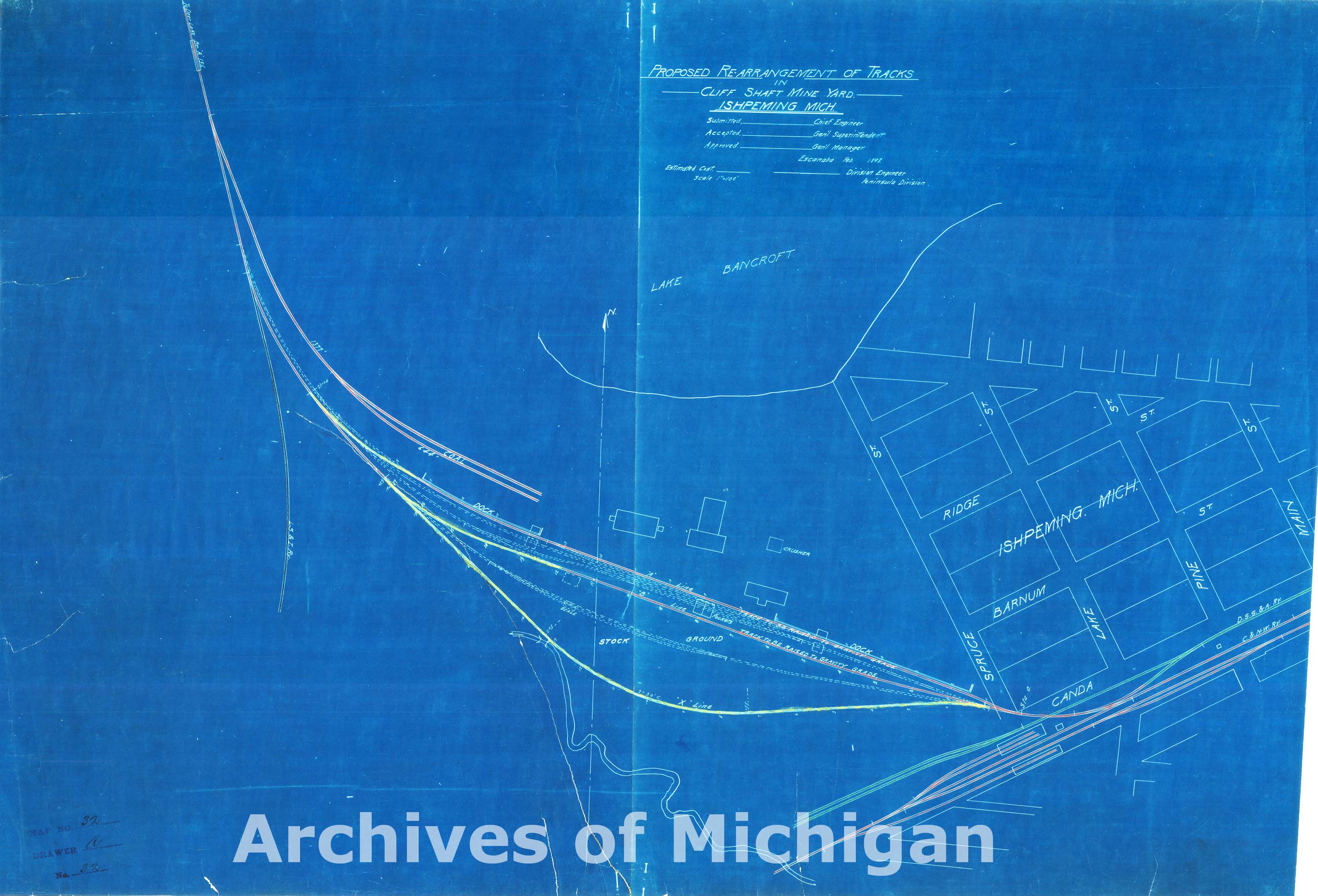
|
||||||||||||||||
|
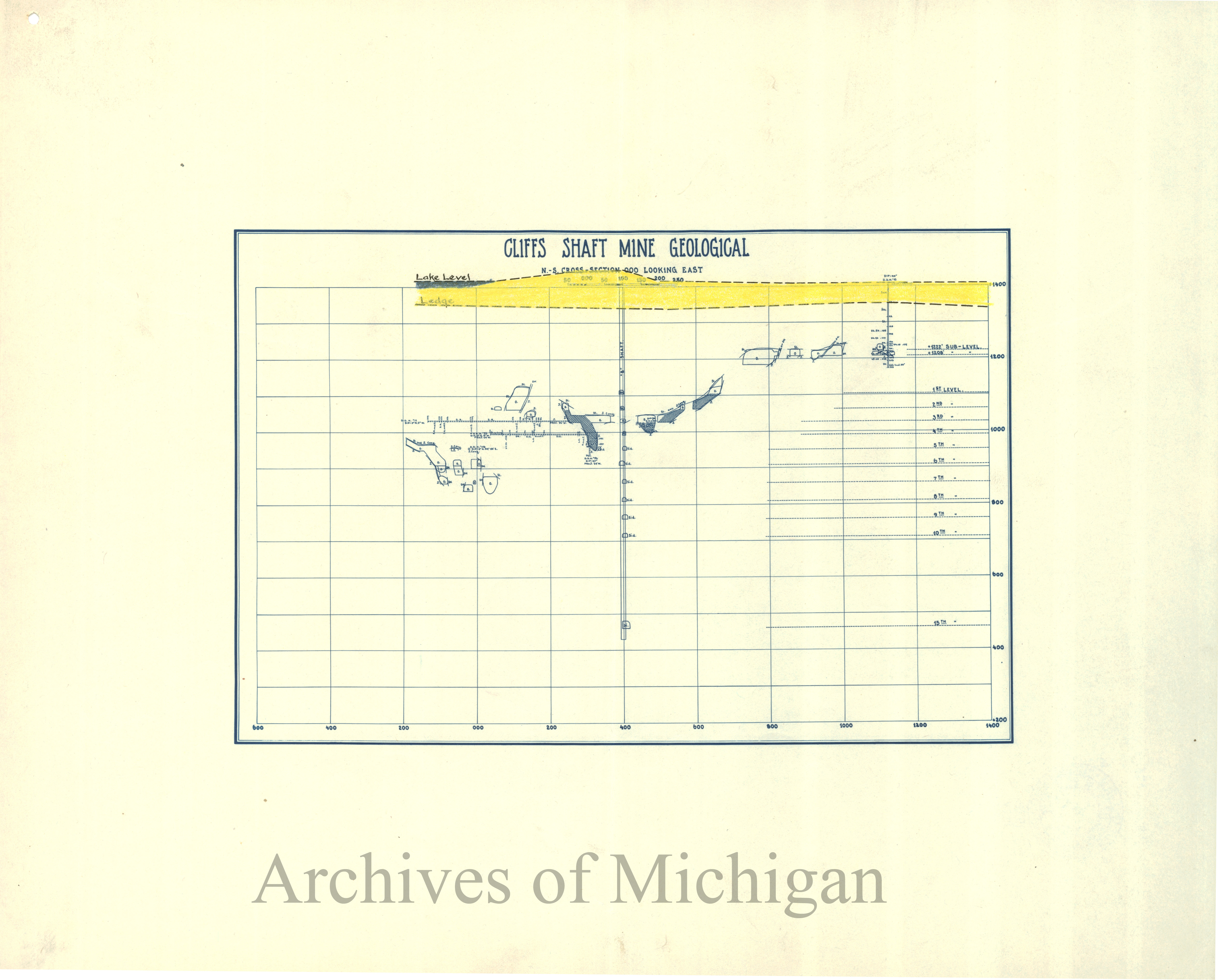
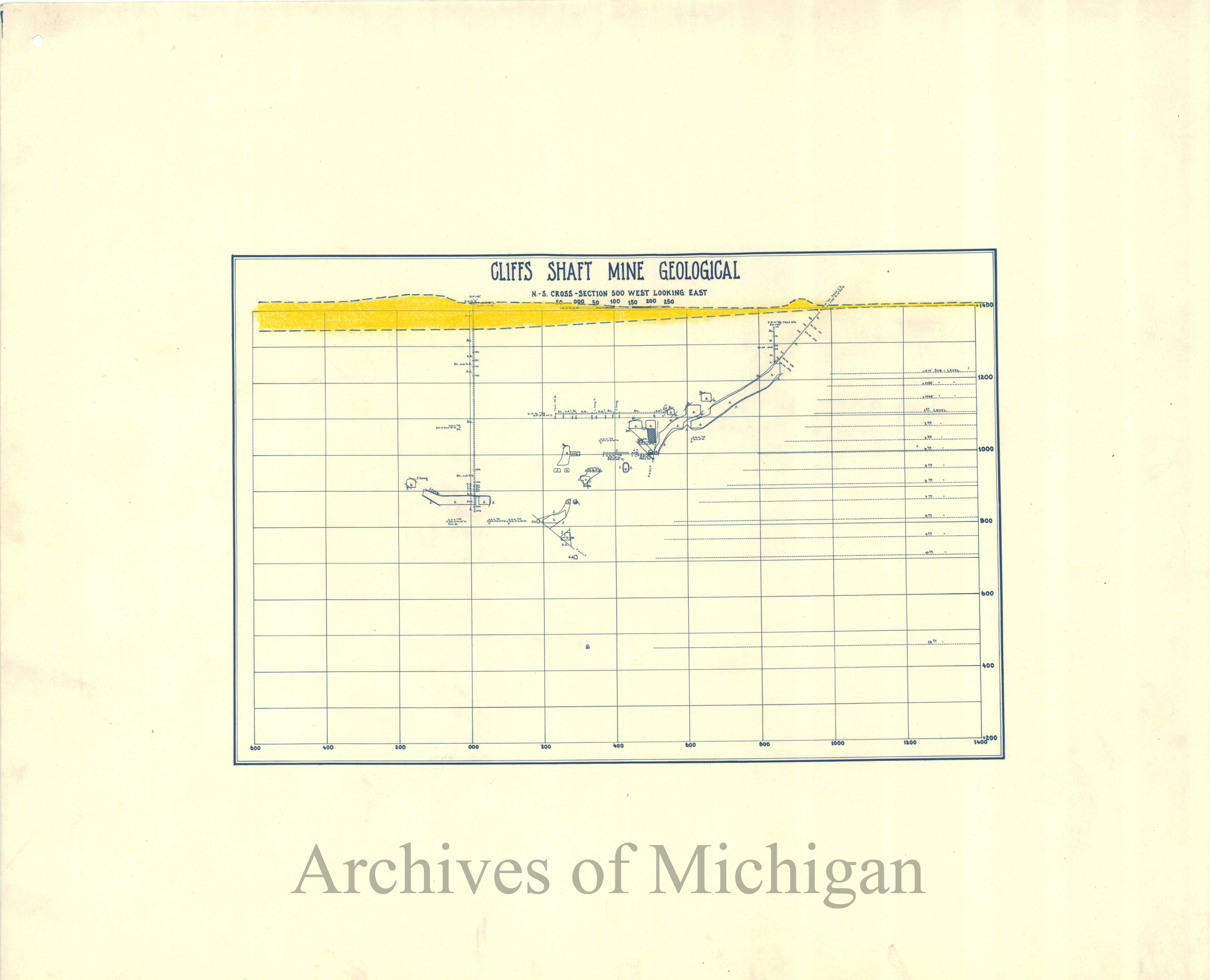
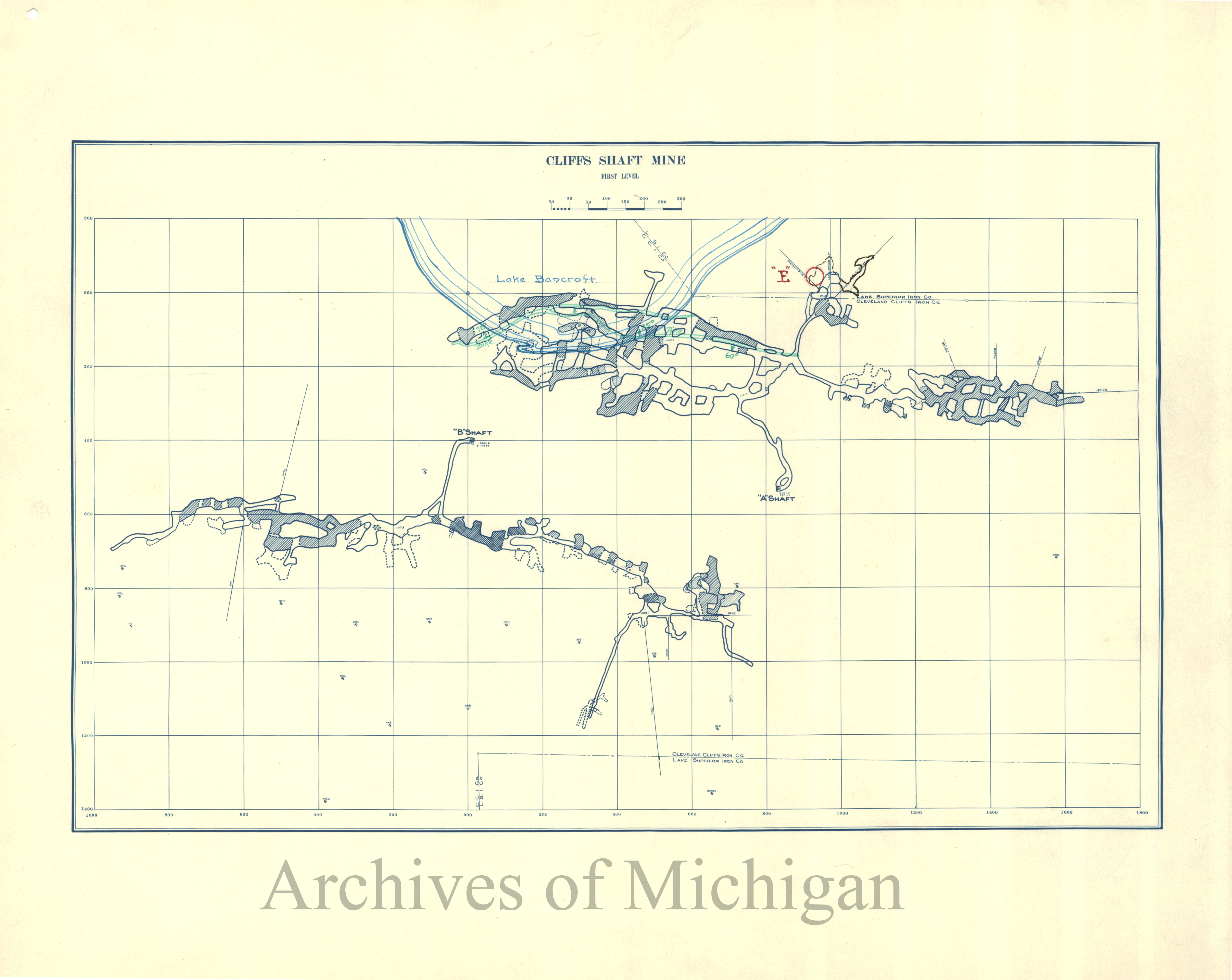
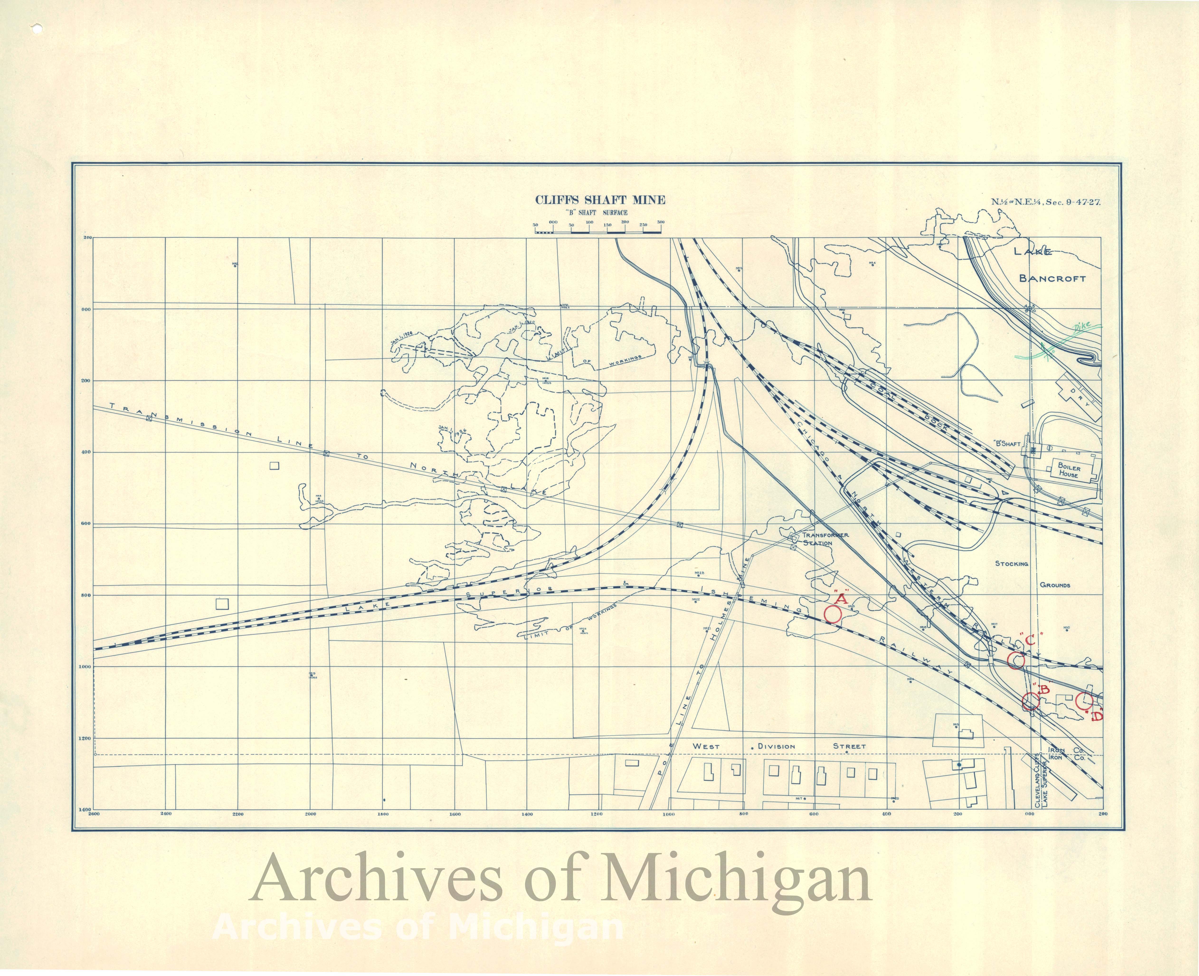
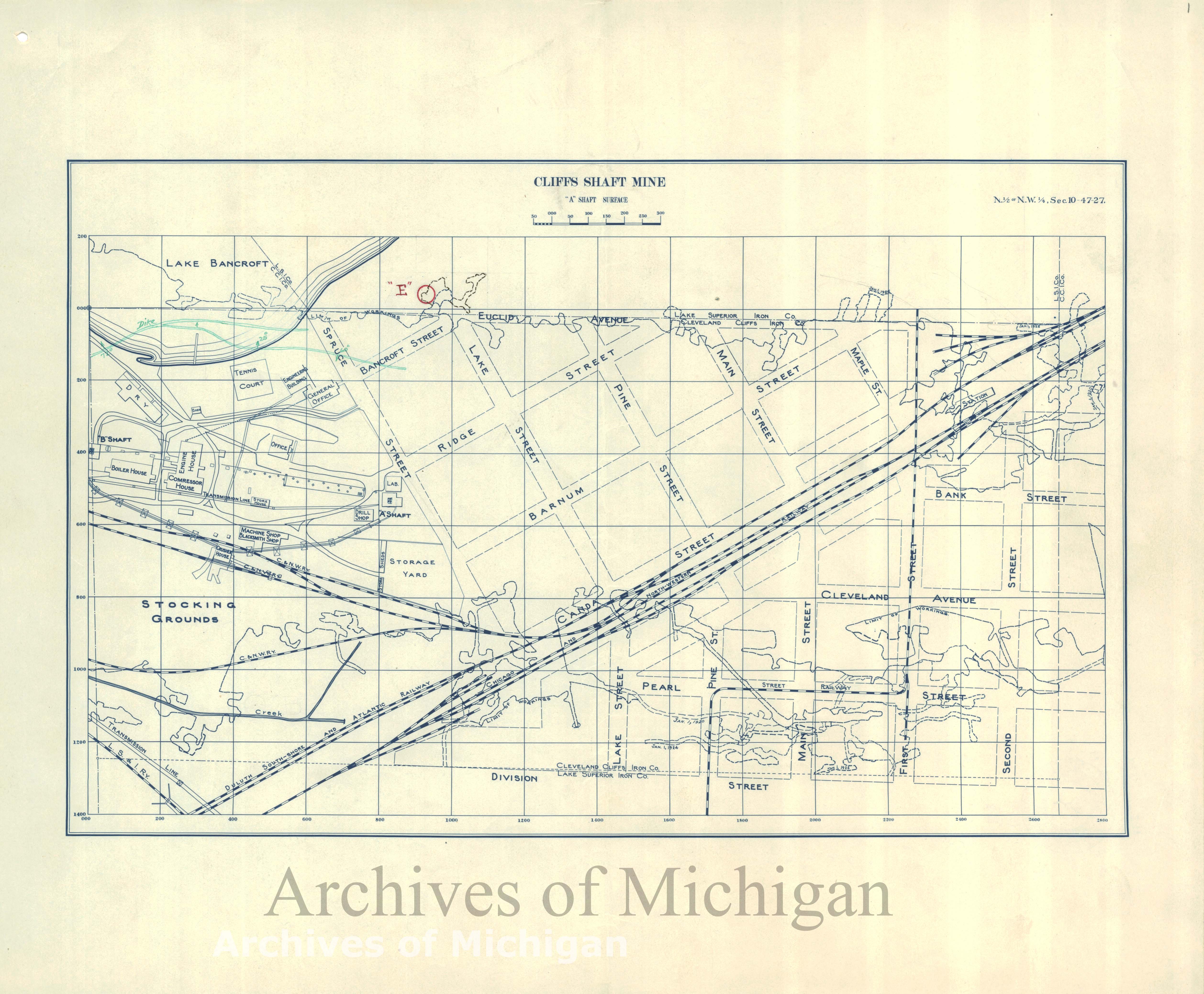
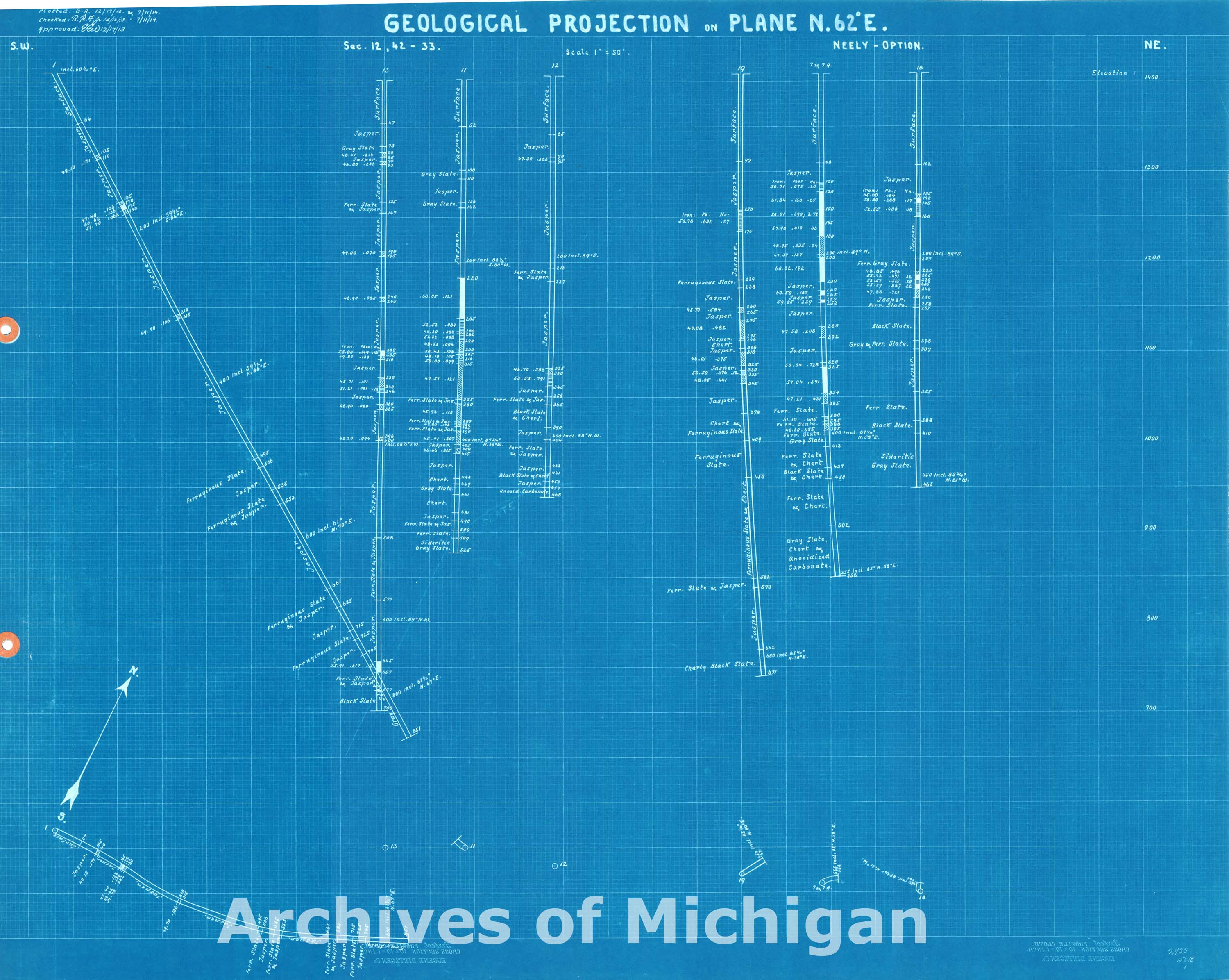
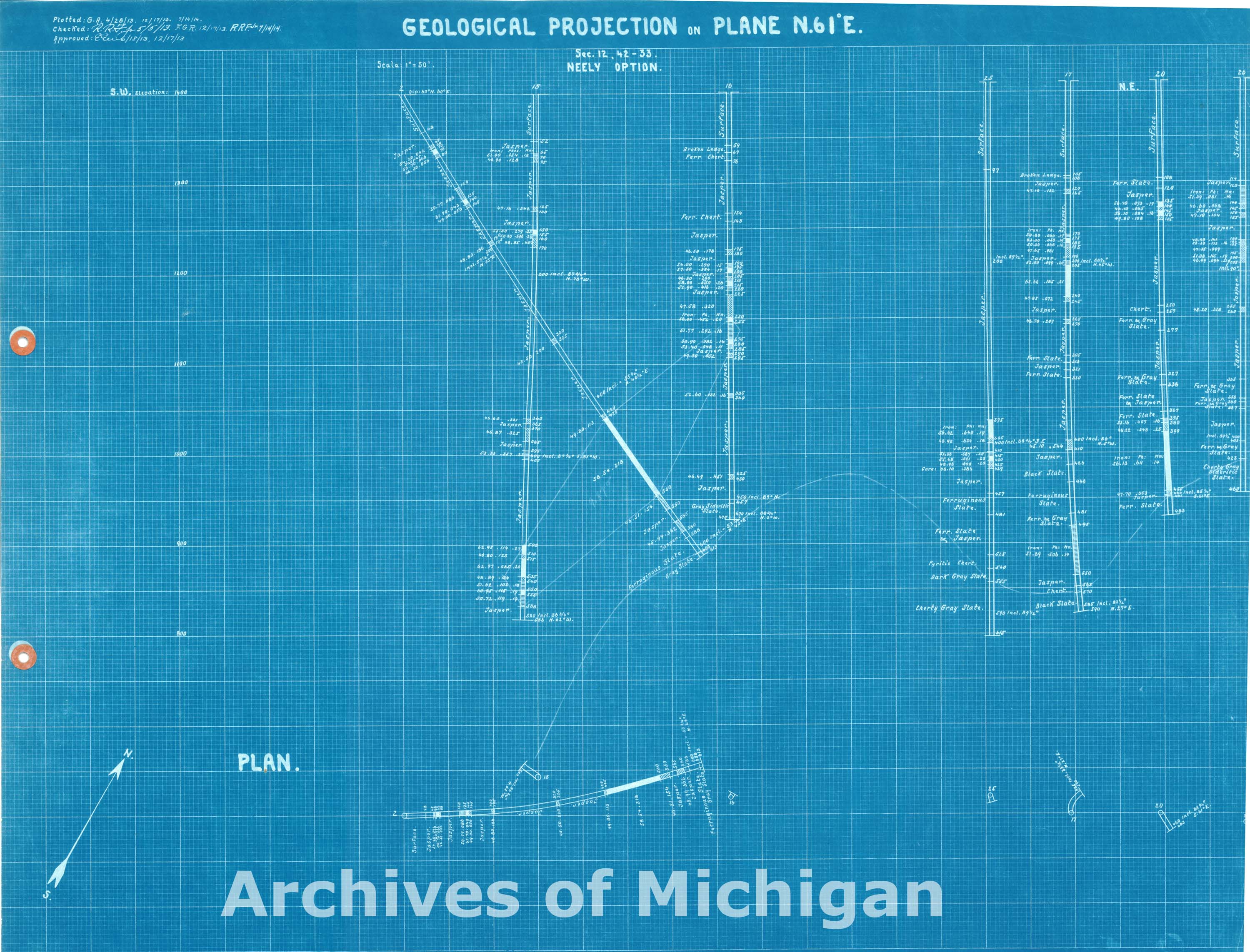
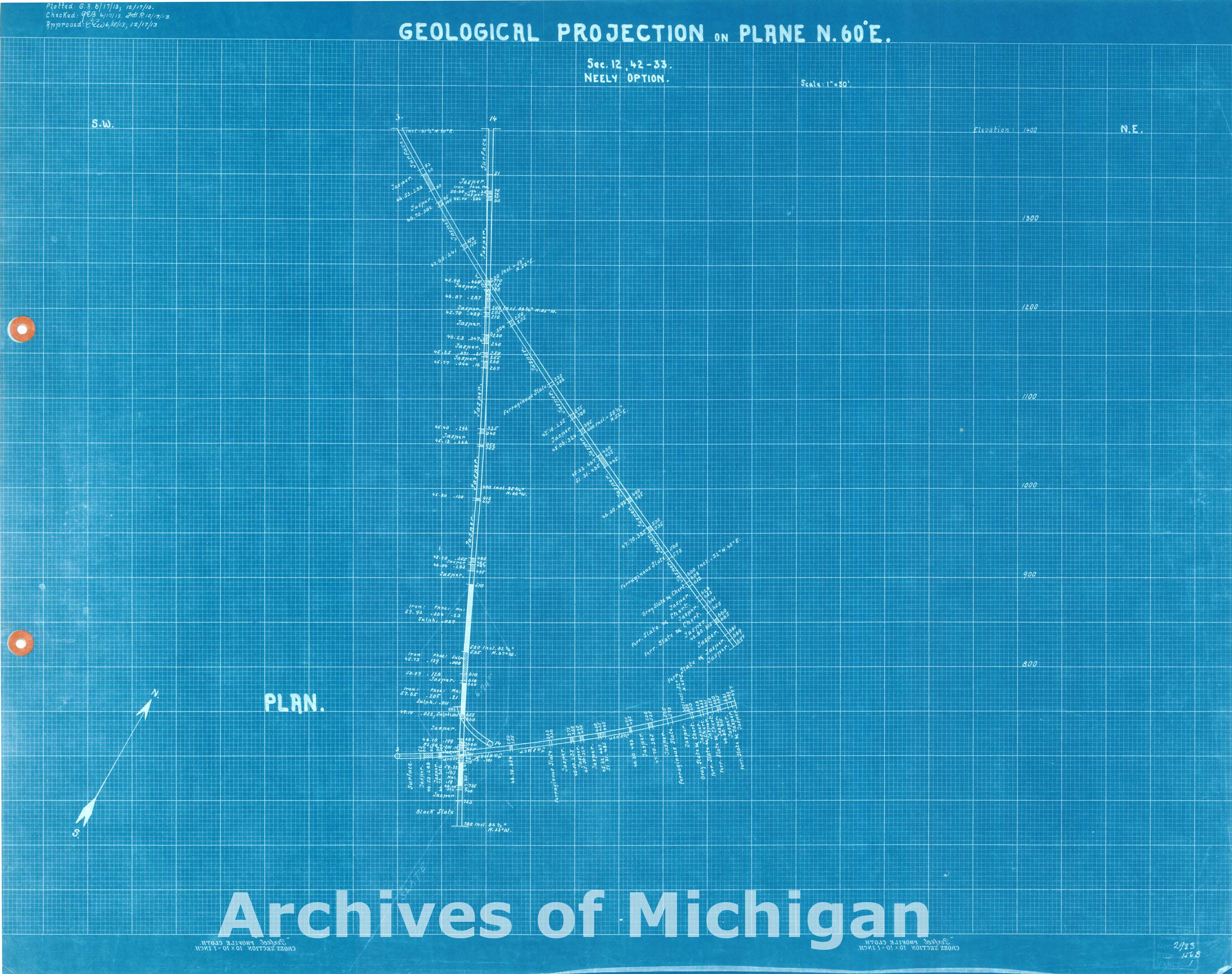
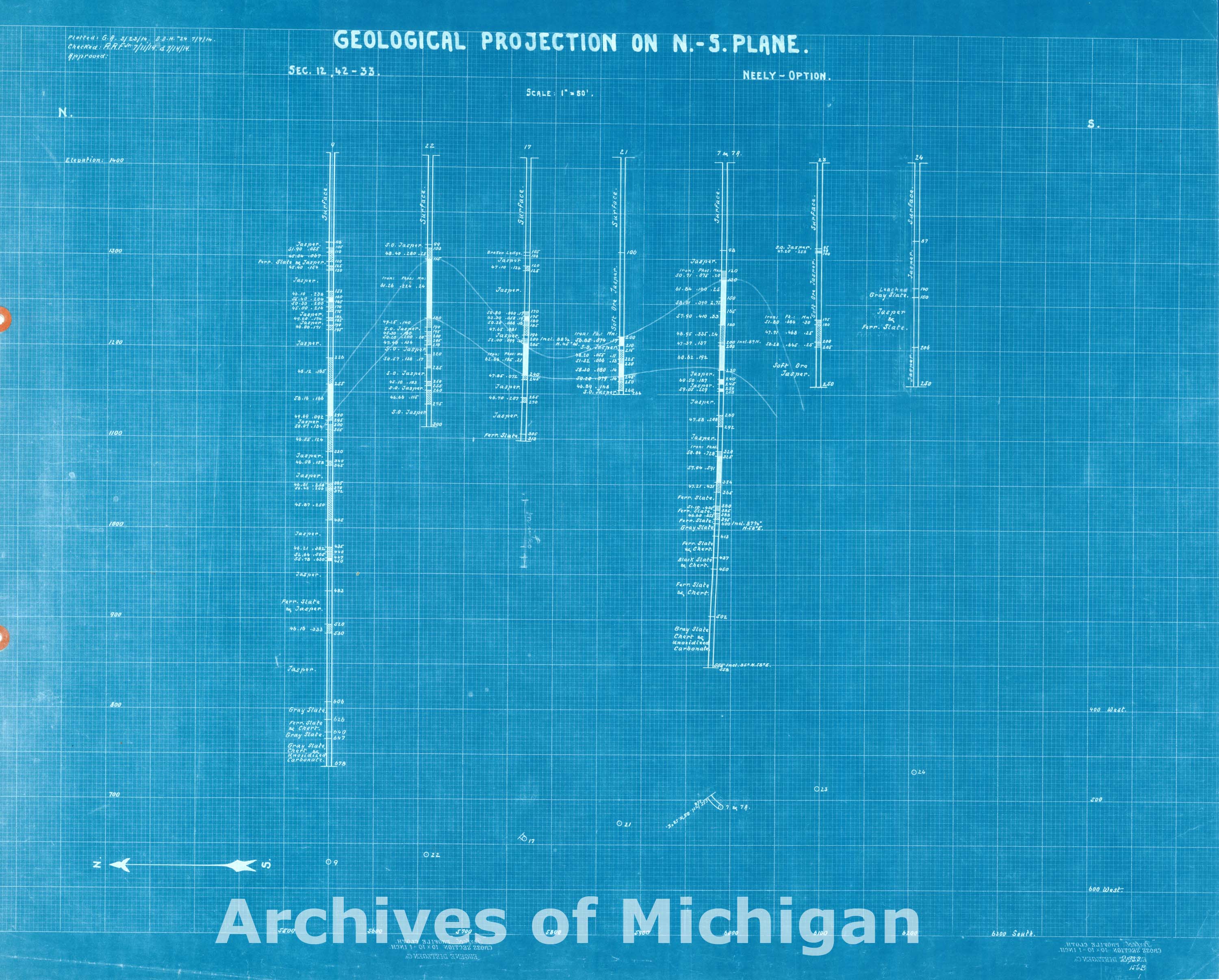
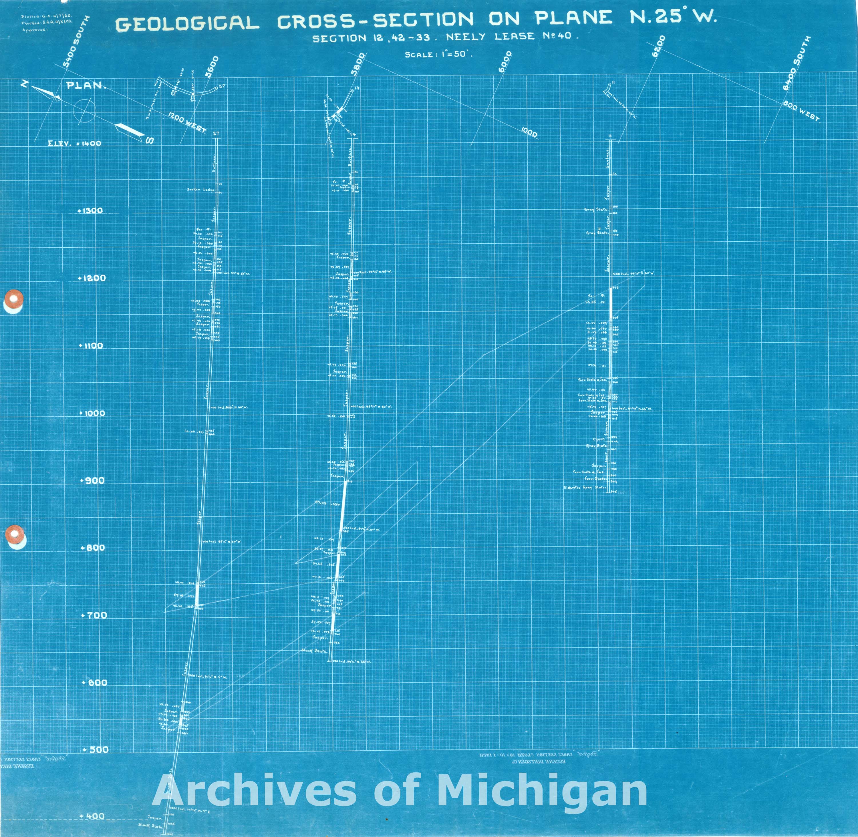
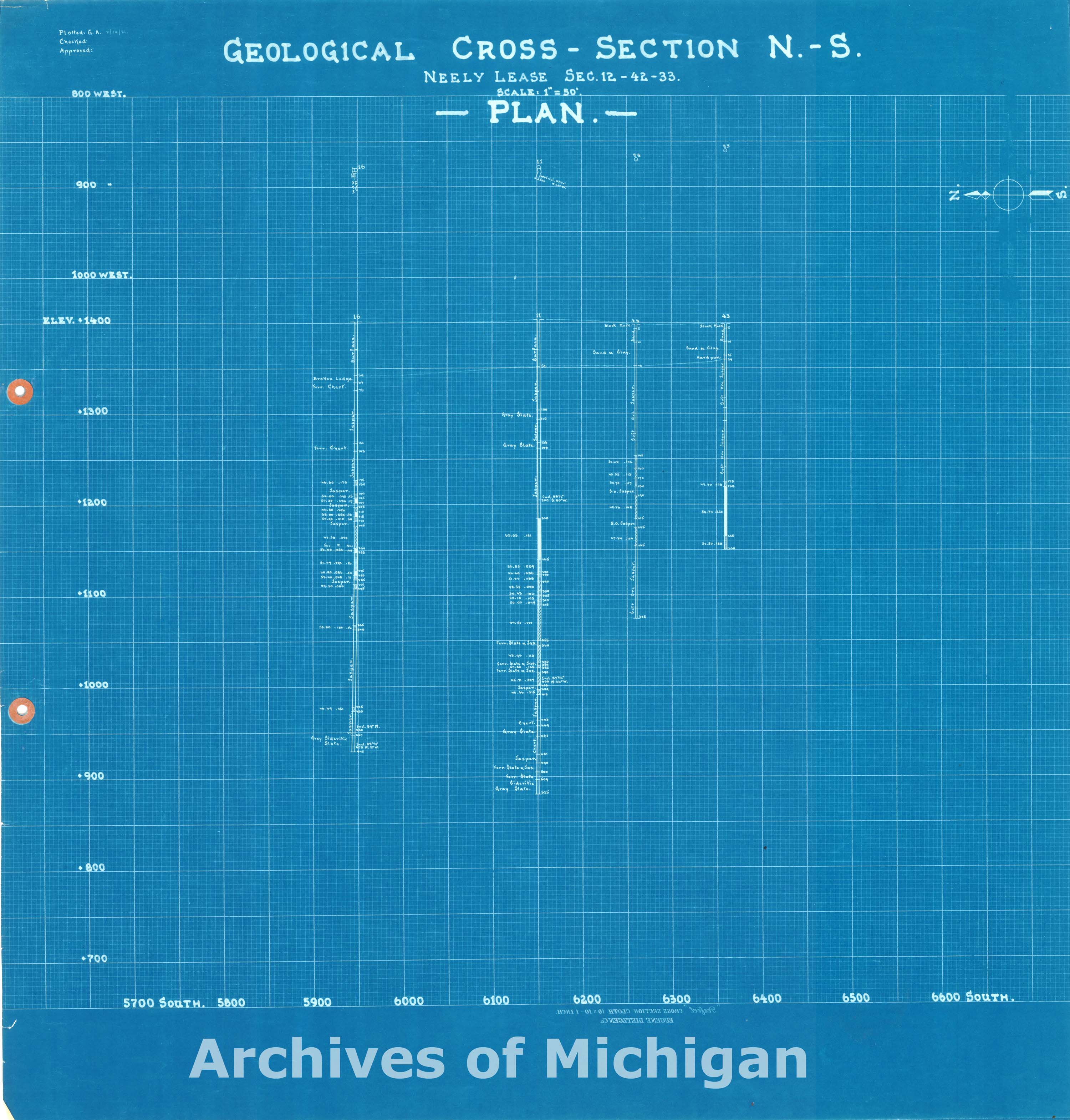
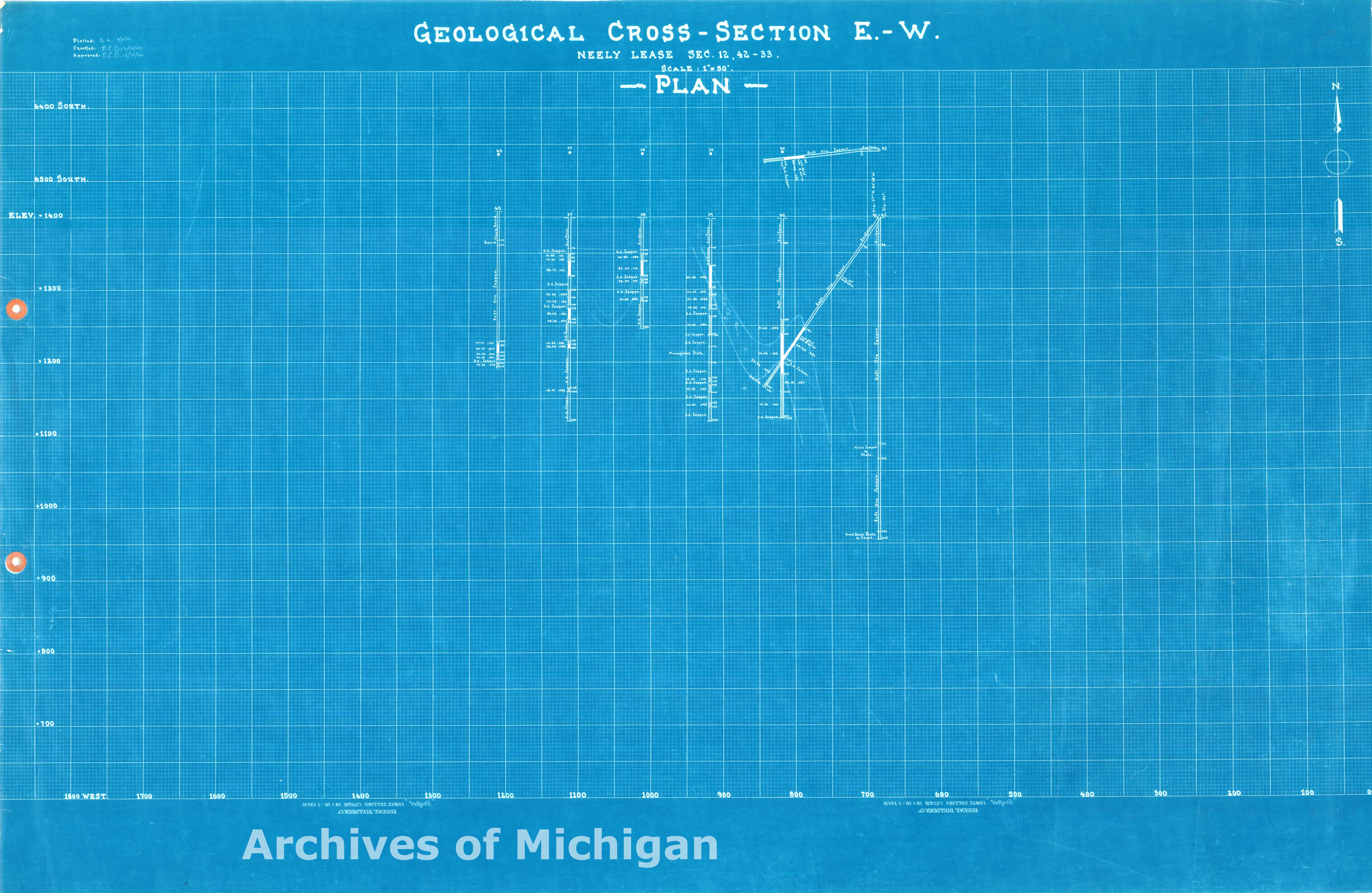
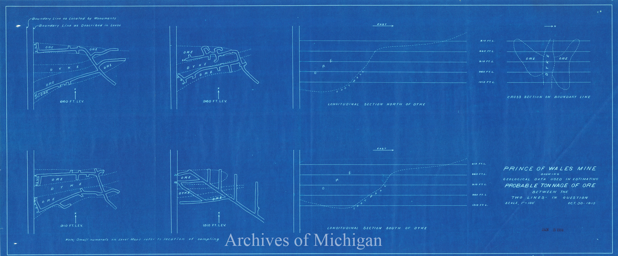
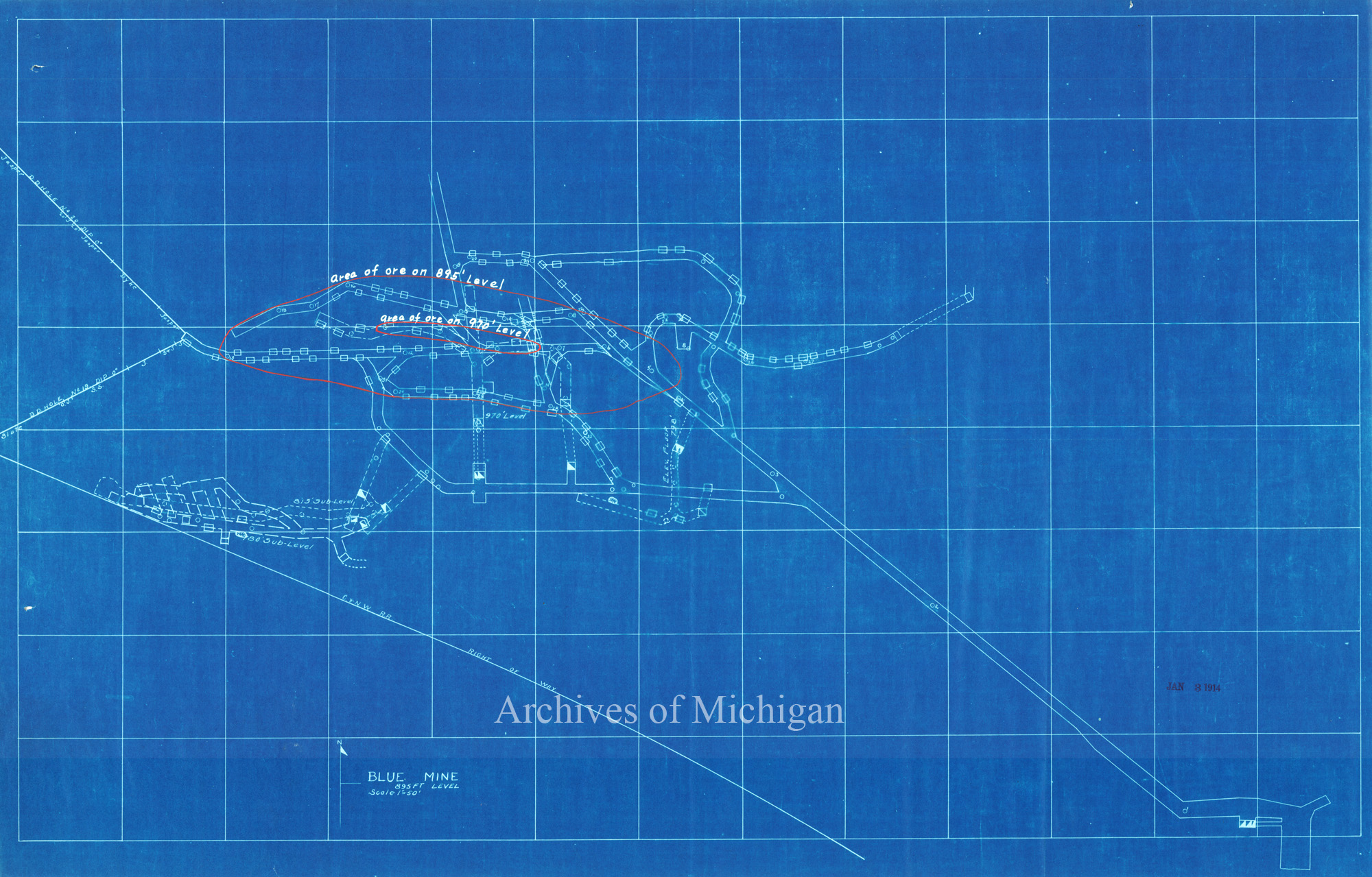
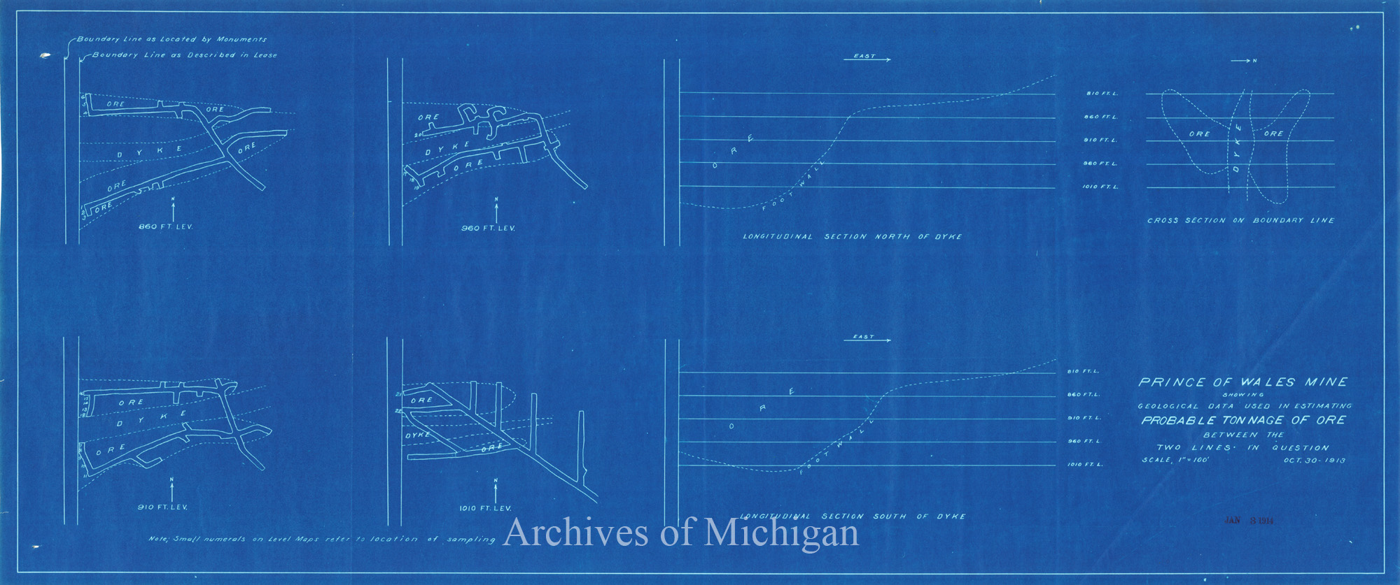
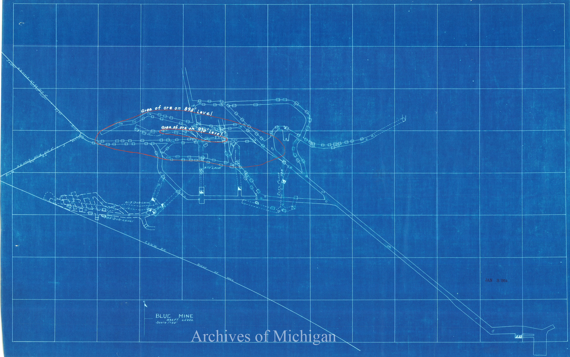
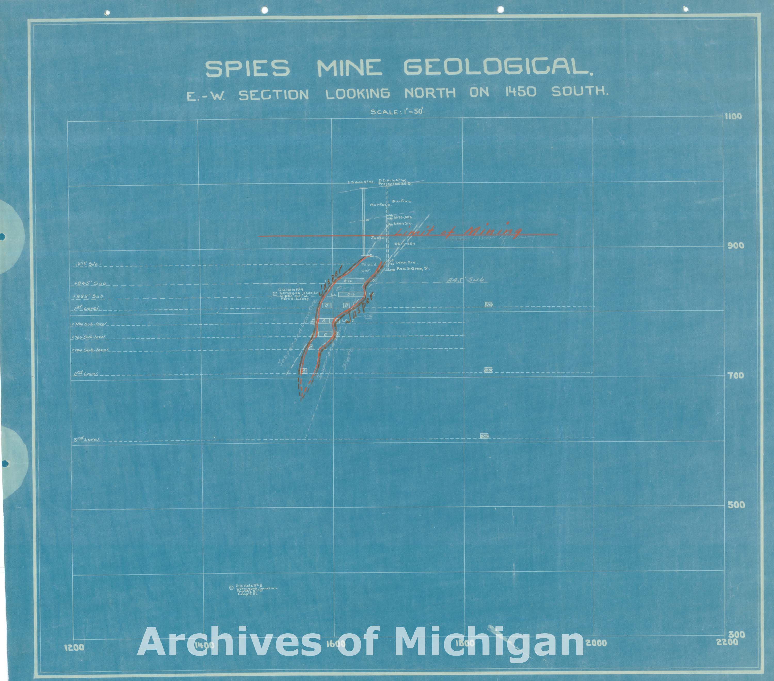
Profile of Cliffs-Shaft Mine Geological (7 Maps) 1926 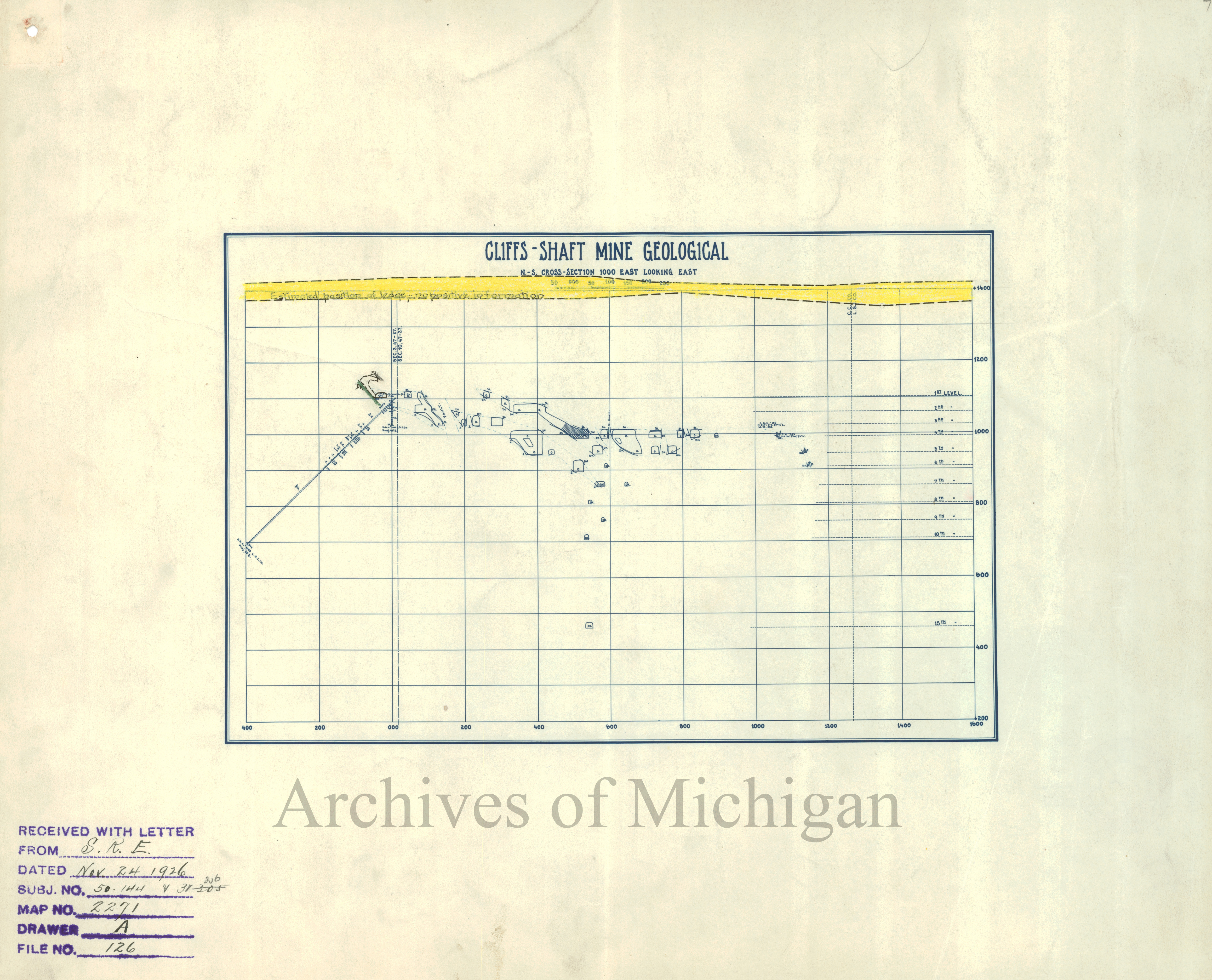
|
||||||||||||||||
|
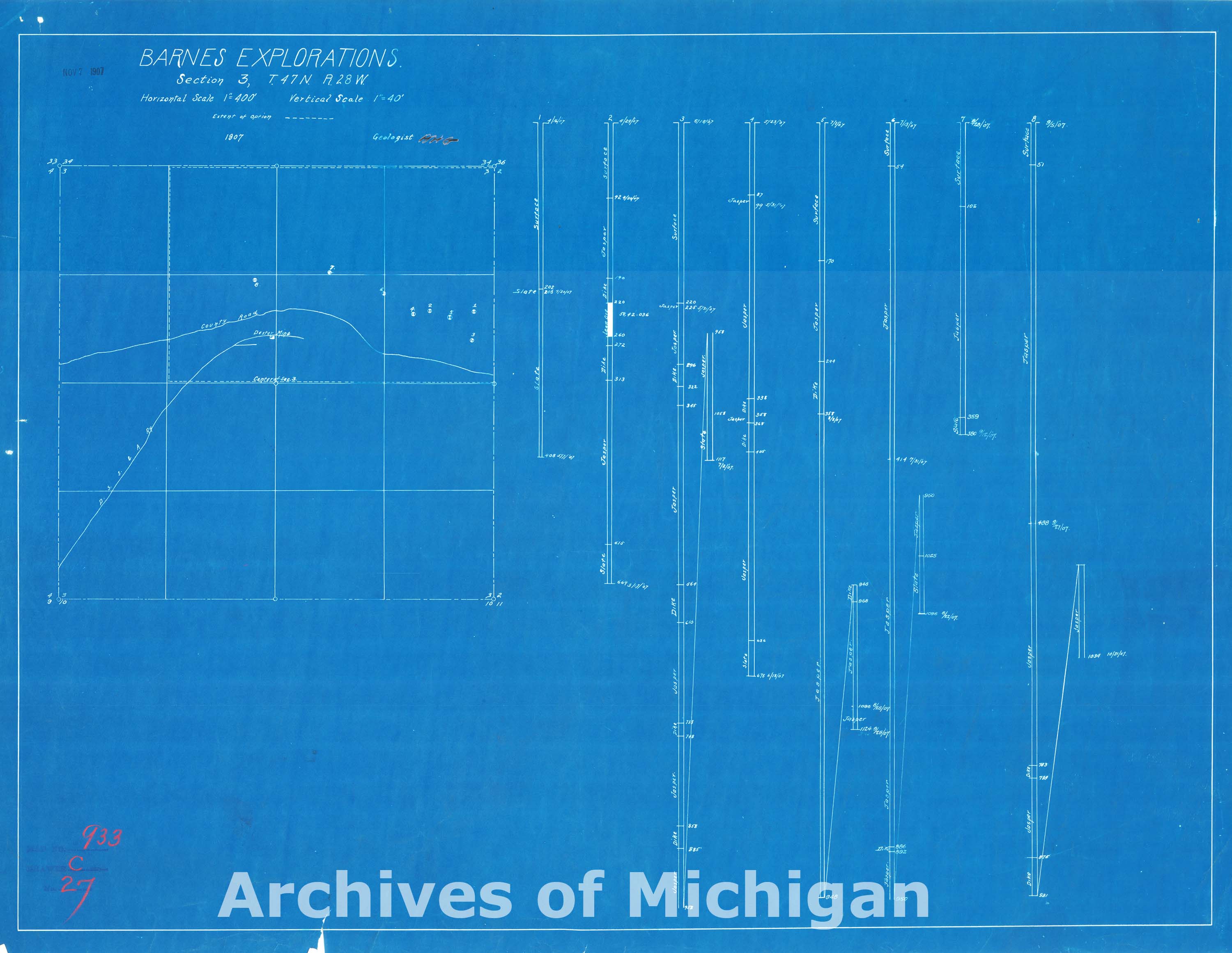
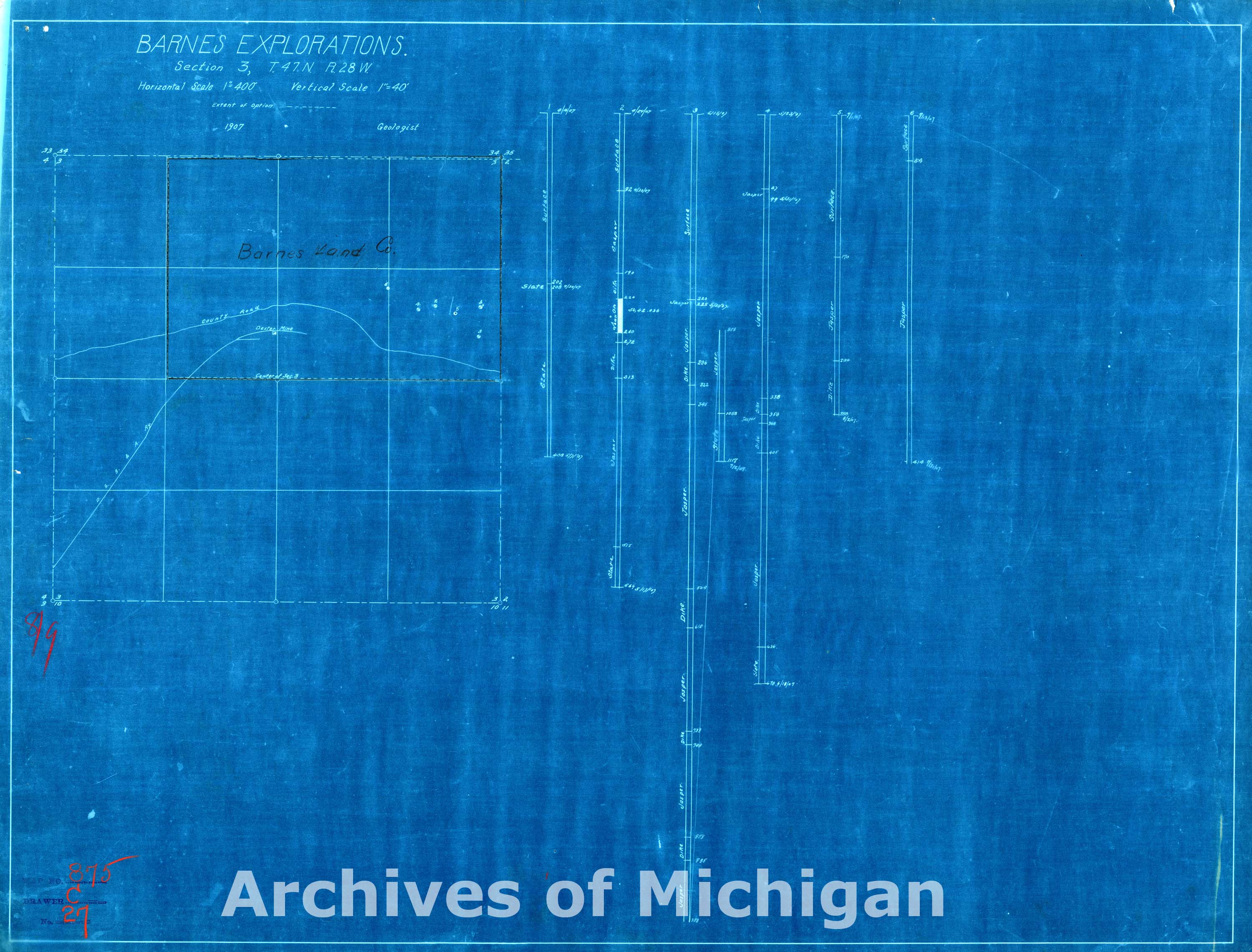
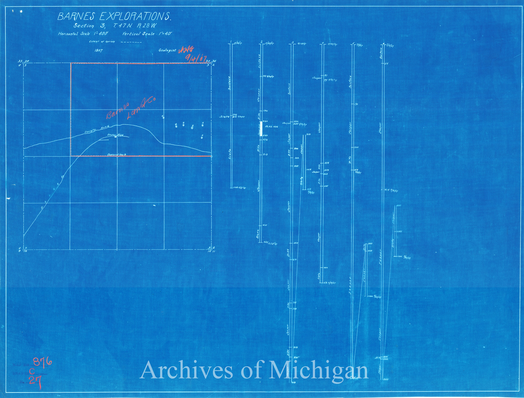
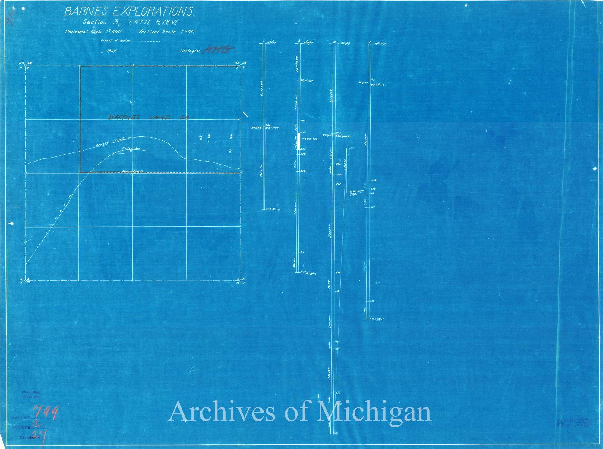
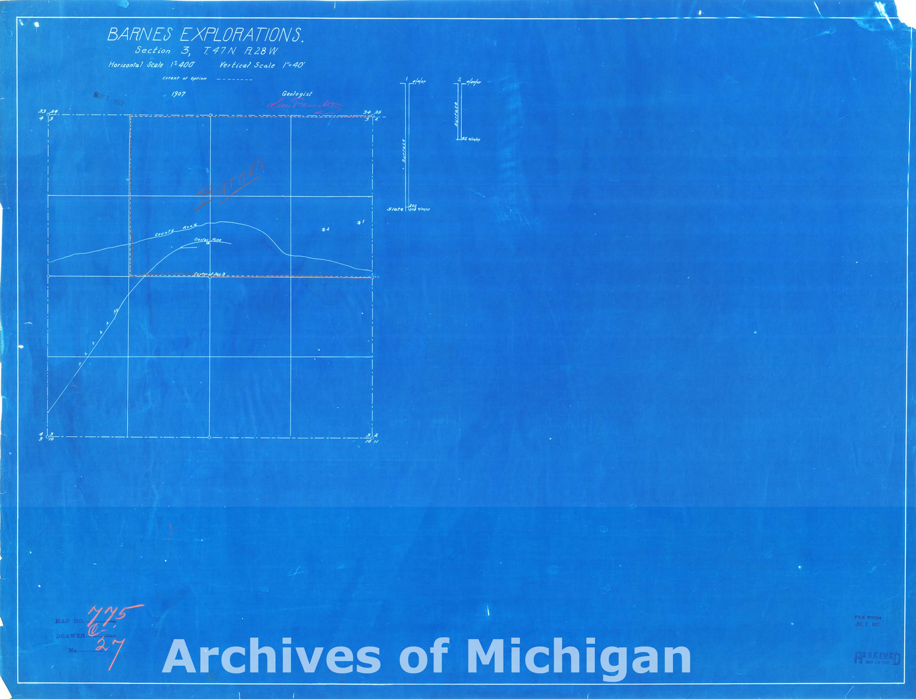
Barnes Explorations Sections 3, T.47 N., R.28 W. Ely Township (7 Maps) 1907 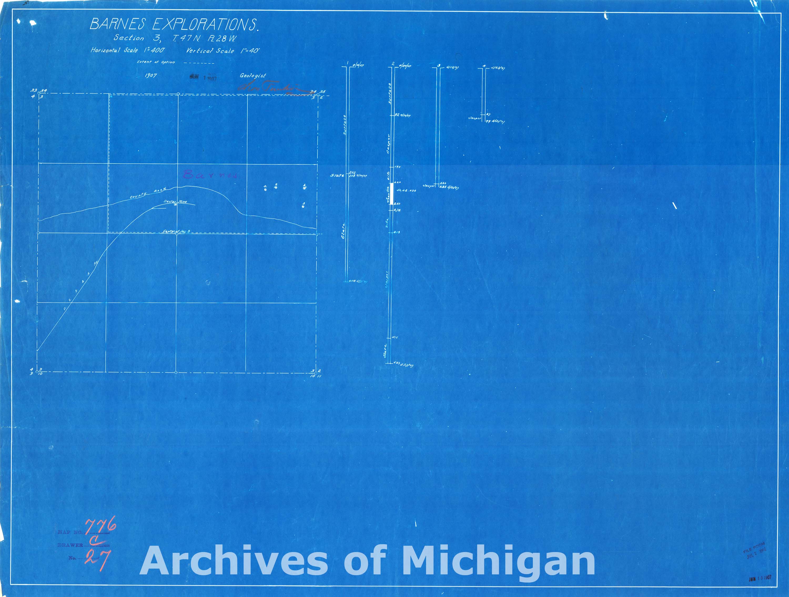

|
||||||||||||||||
|
Sketch Map Sections 2 and 3, T.47 N., R28W. Ely Township 1907 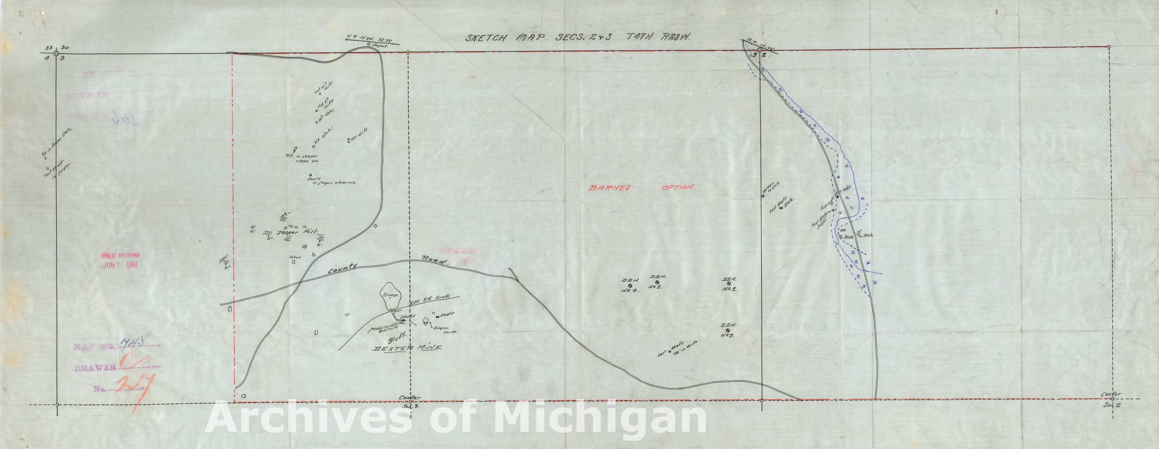
|
||||||||||||||||
|
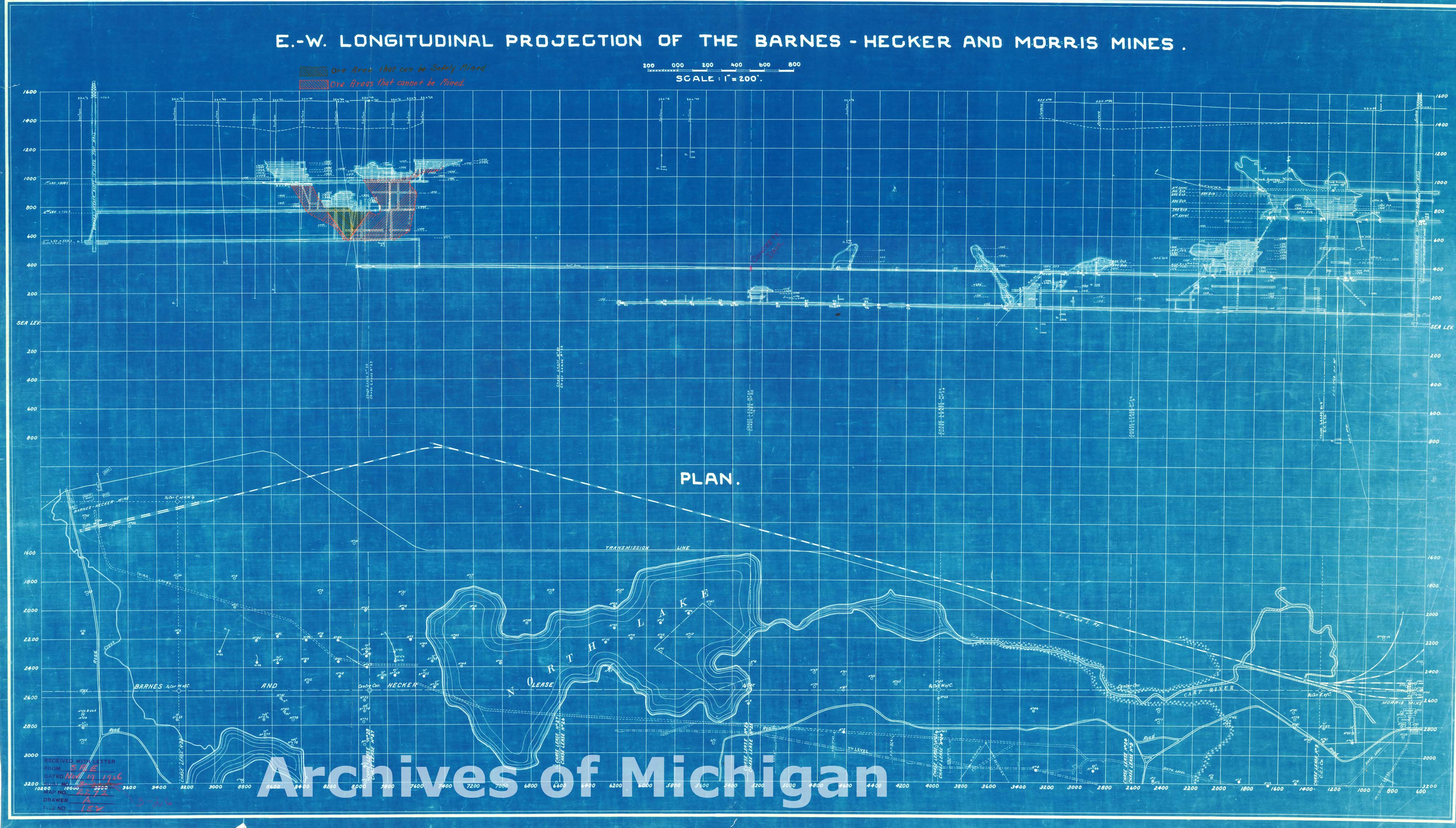
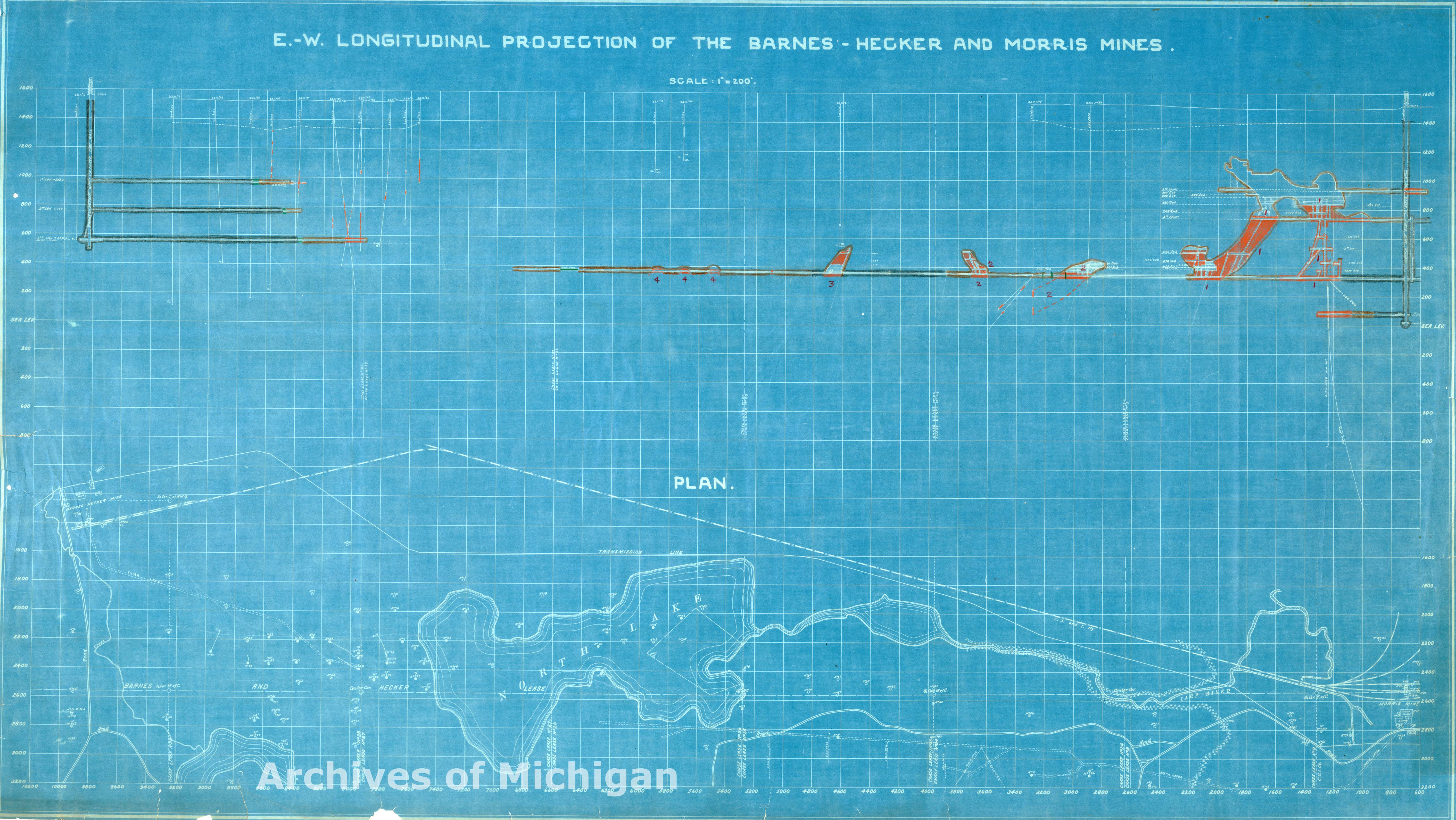
E.W. Longitudinal Projection of Barnes-Hecker and Morris Mines, Ely Townships 1921 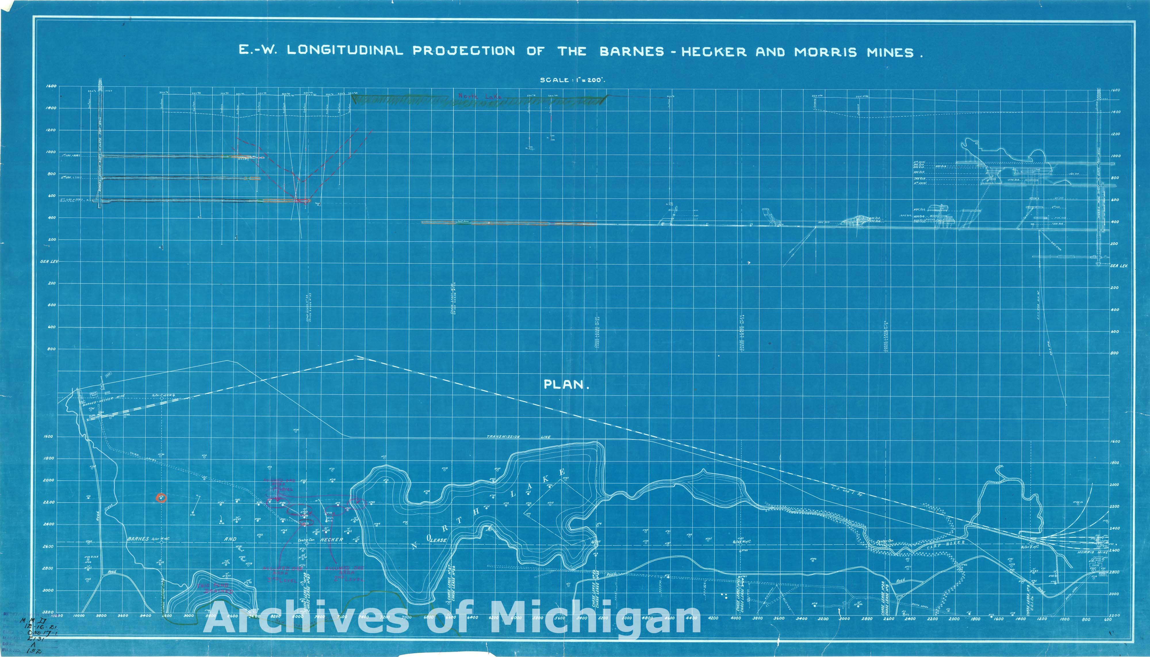
|
||||||||||||||||
|
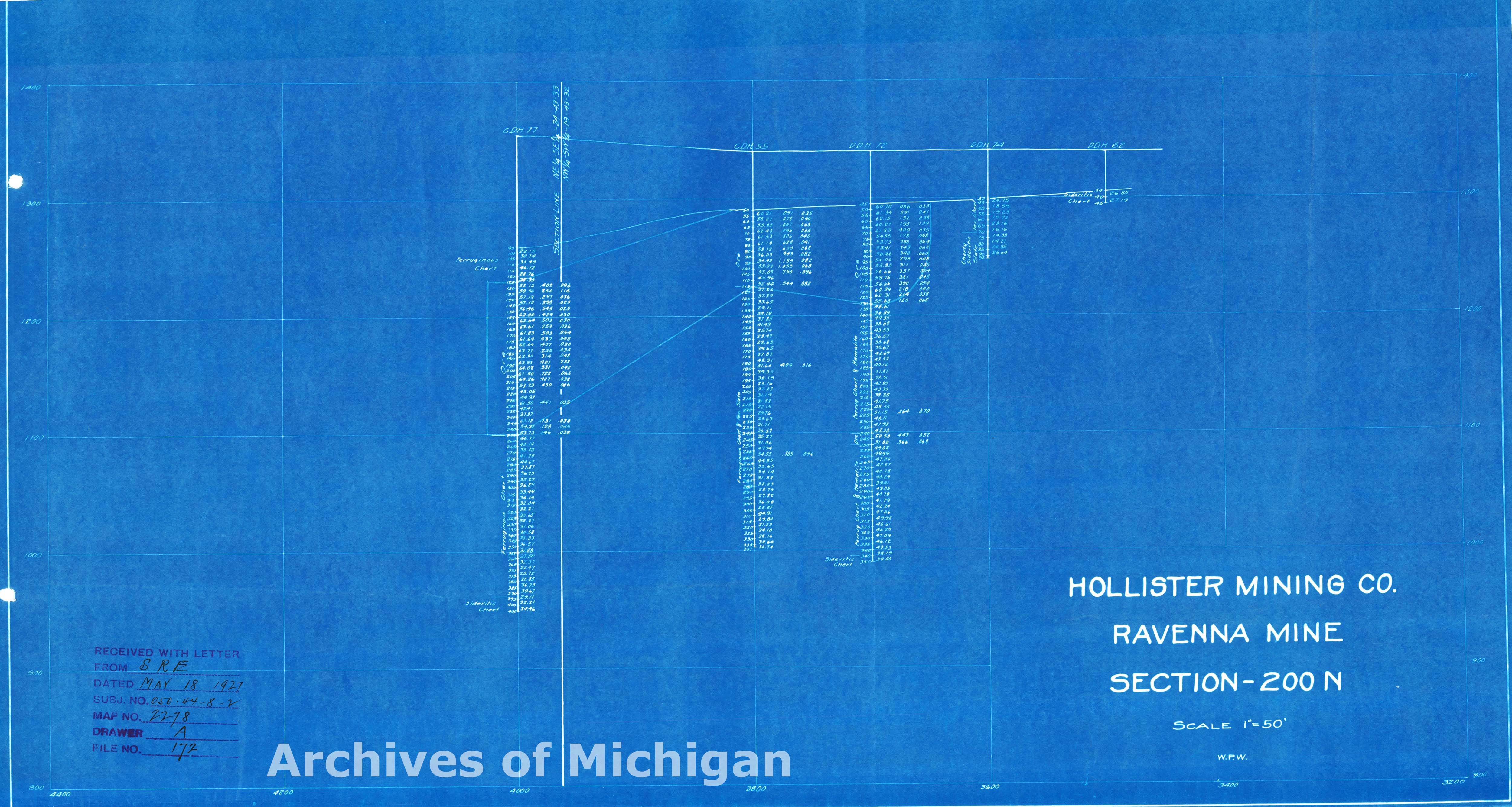
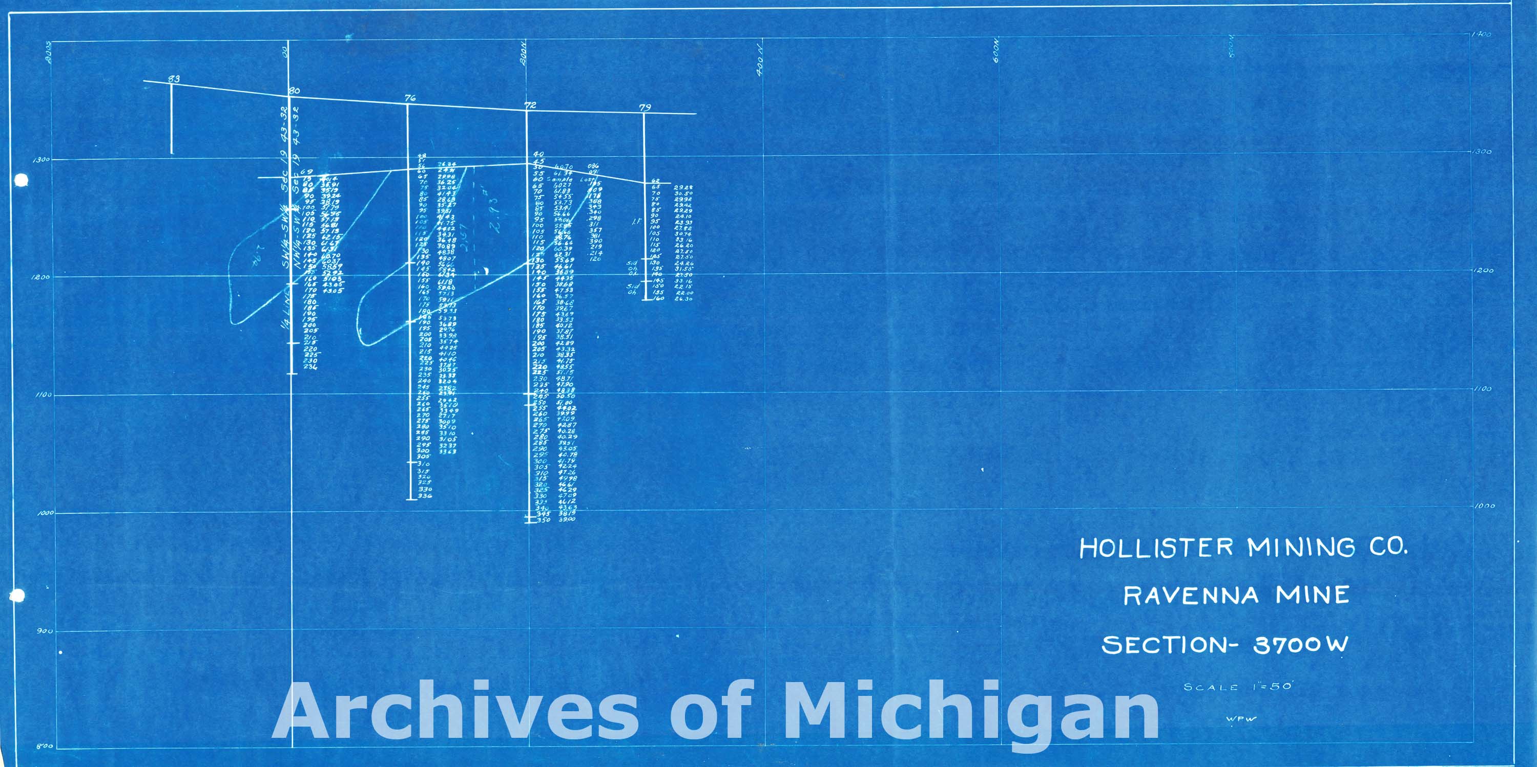
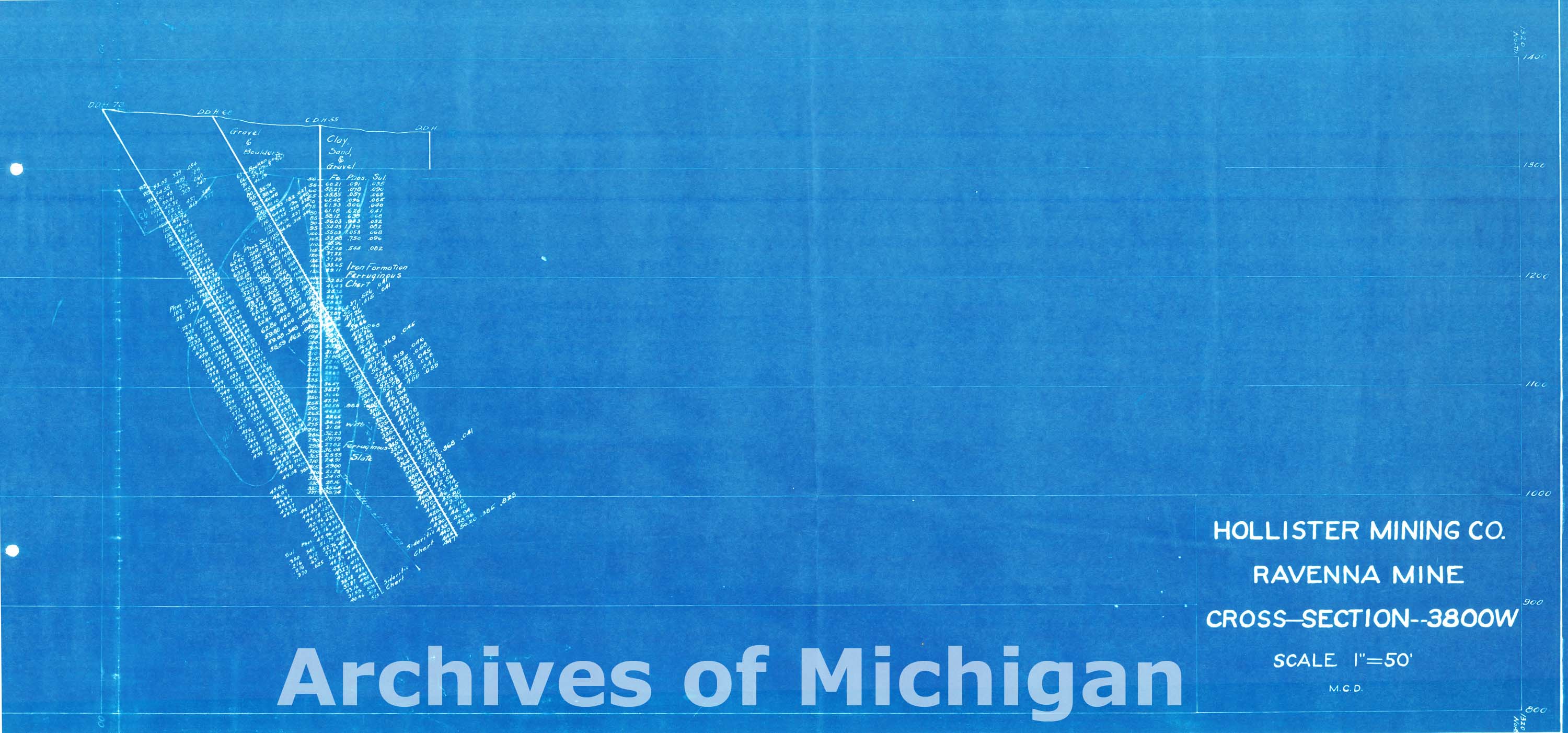
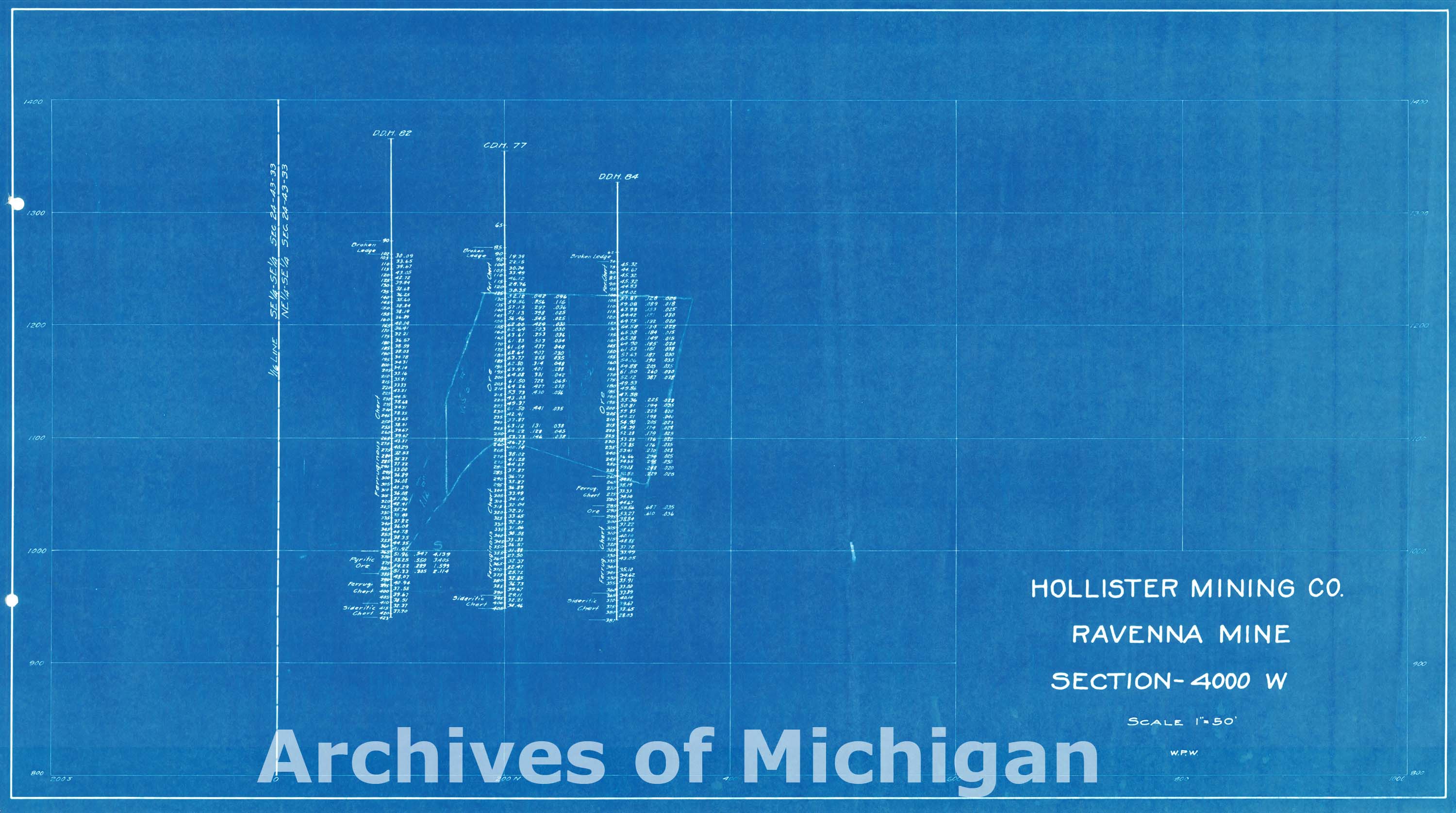
Map of Ravenna Mine (5 maps) 1917 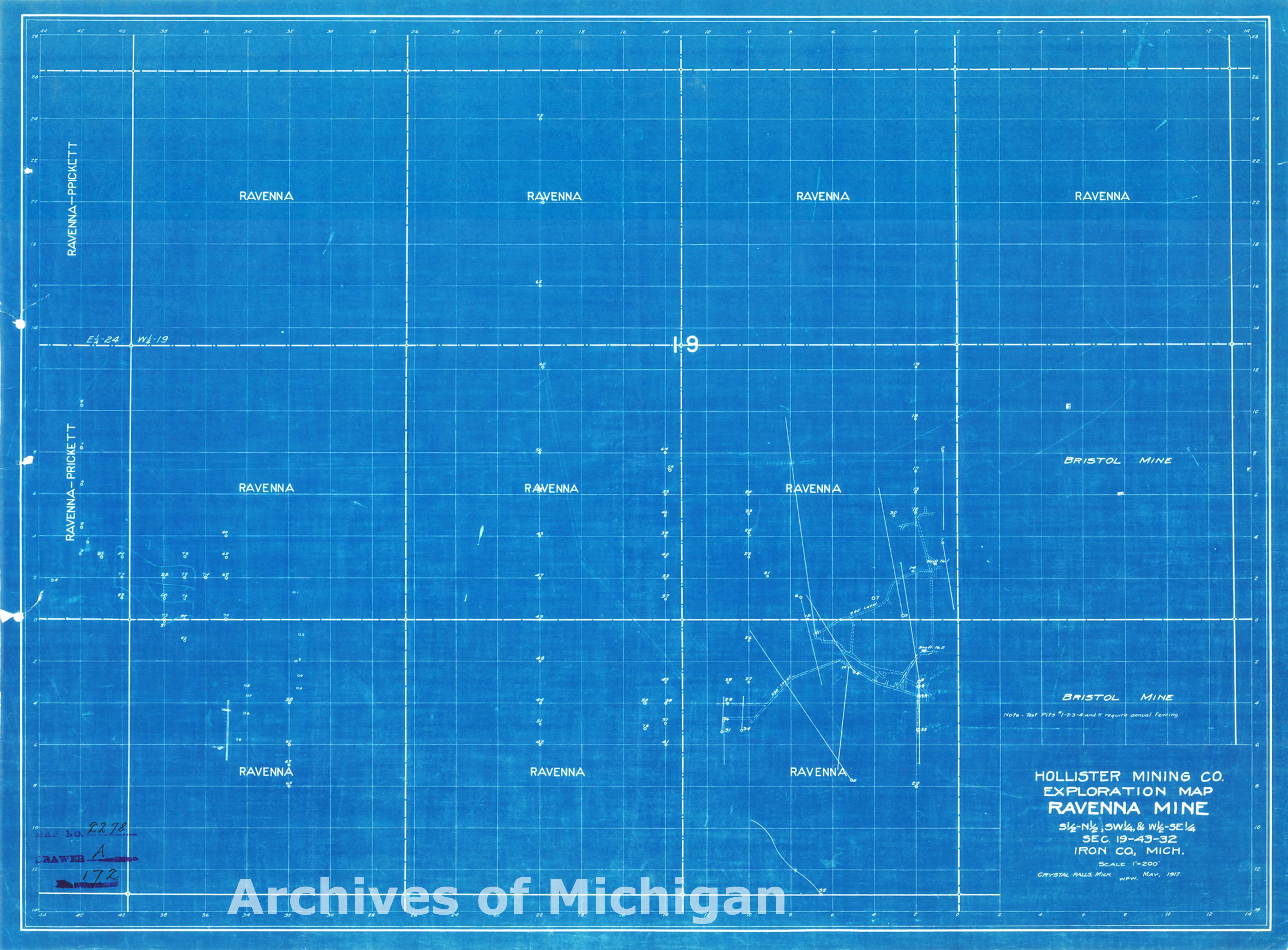
|
||||||||||||||||
|
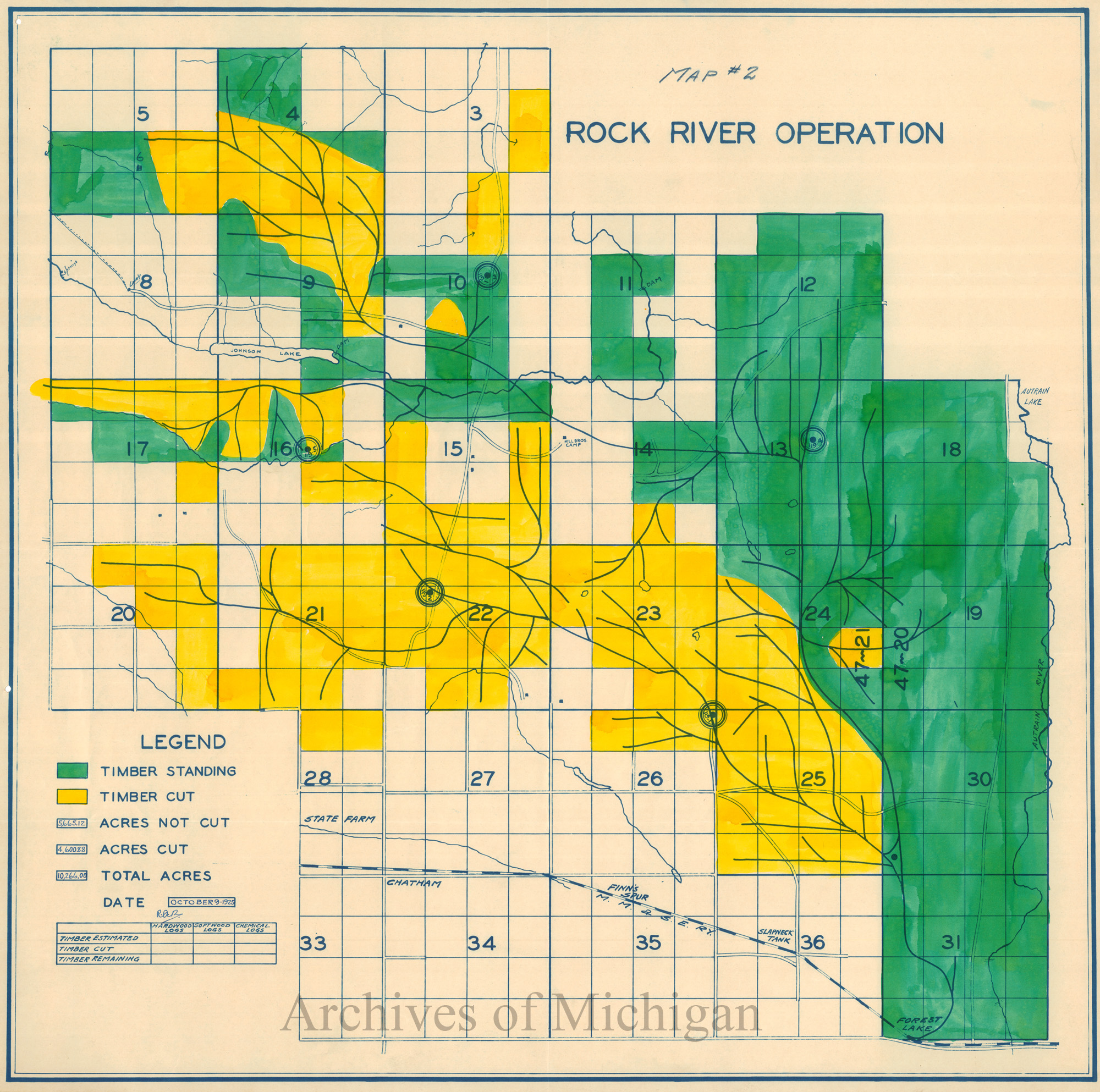
Rock River Operation, Alger County (2 maps) 1925 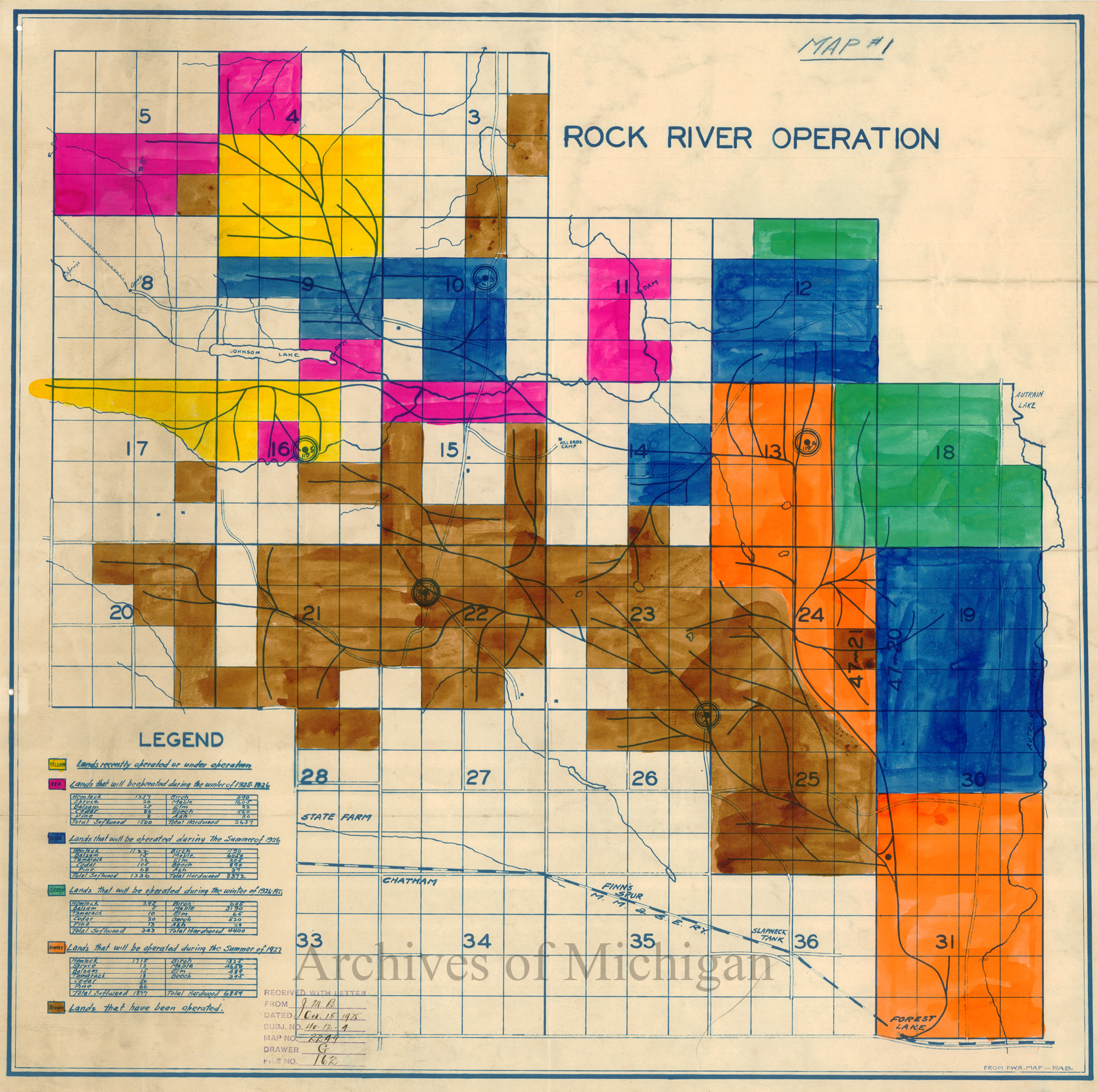
|
||||||||||||||||
|
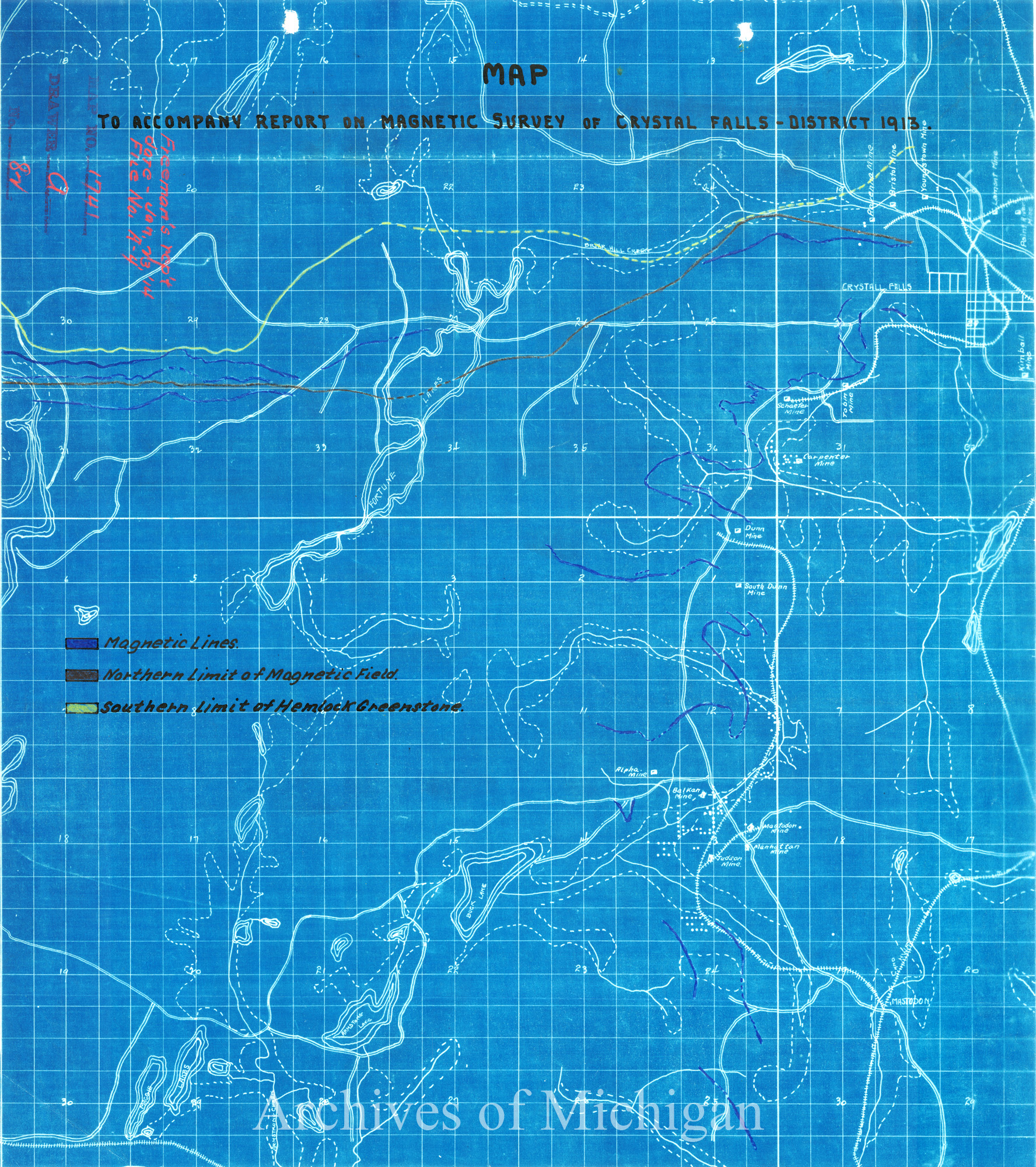
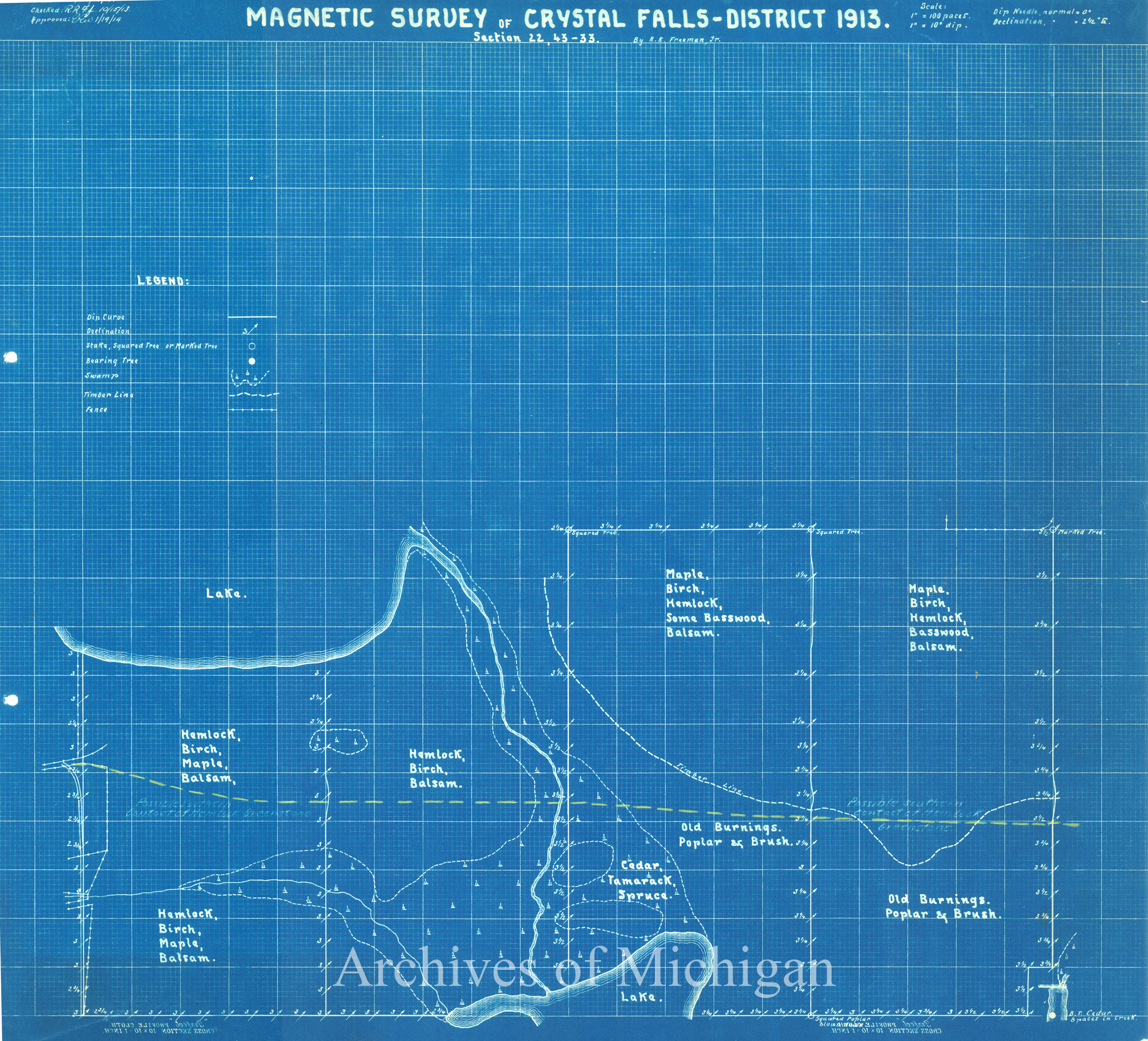
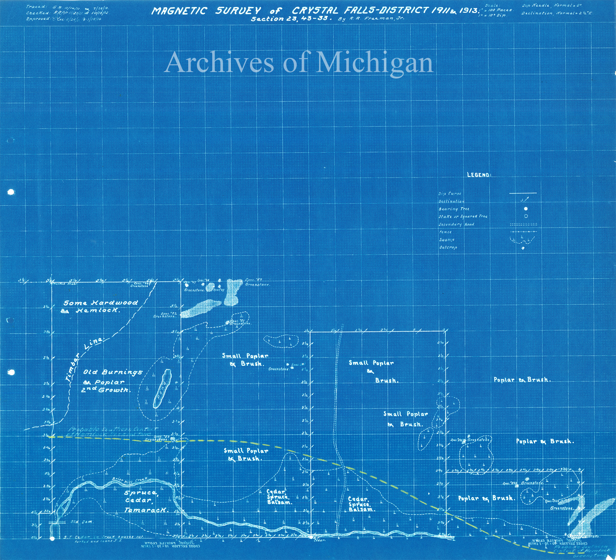
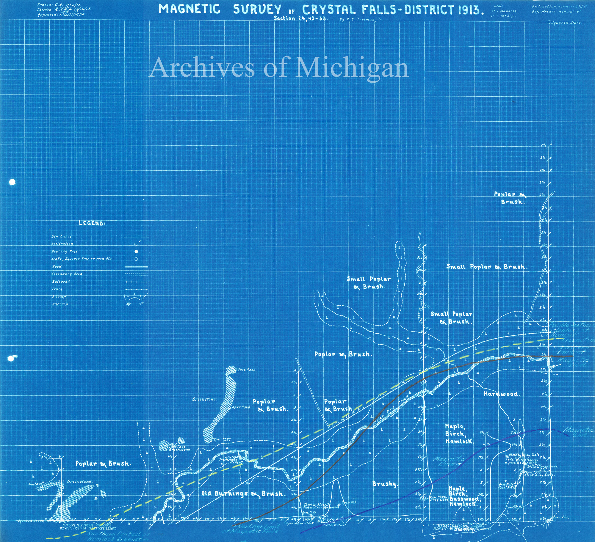
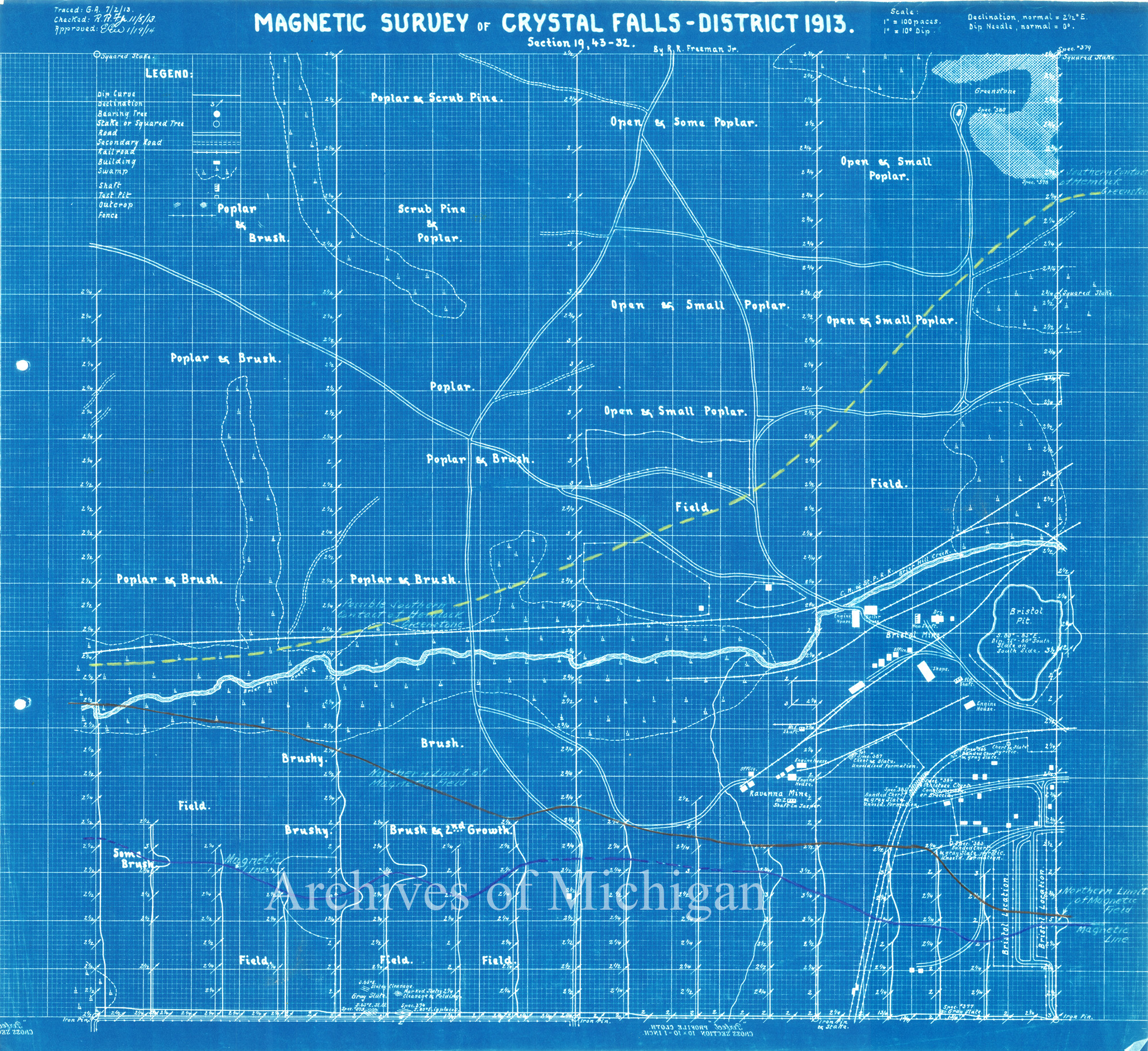
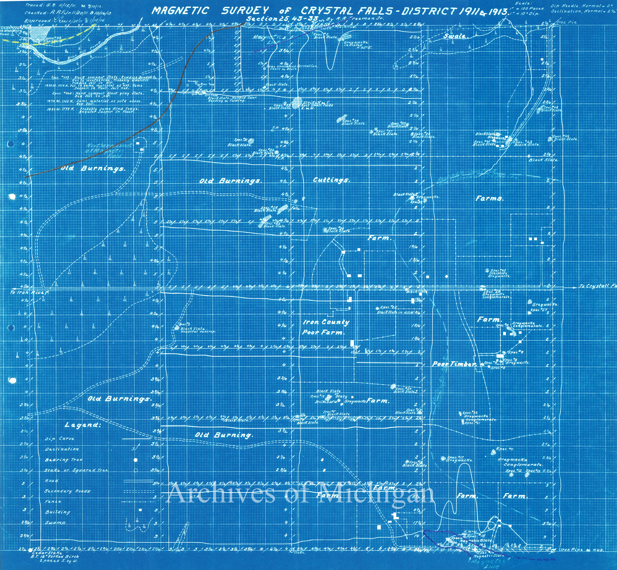
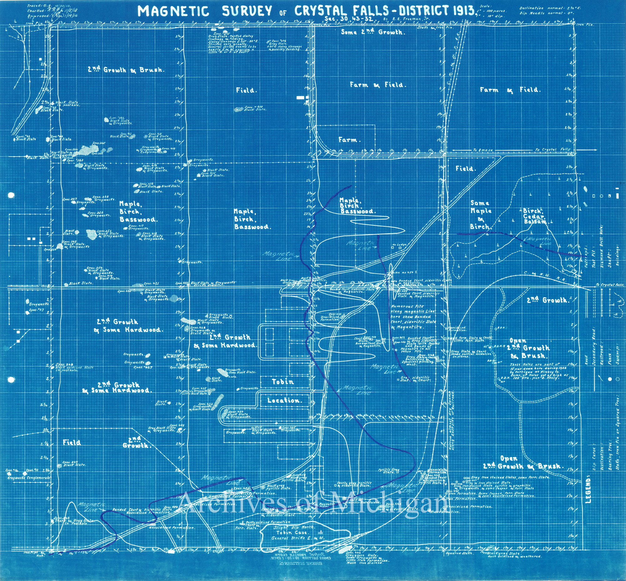
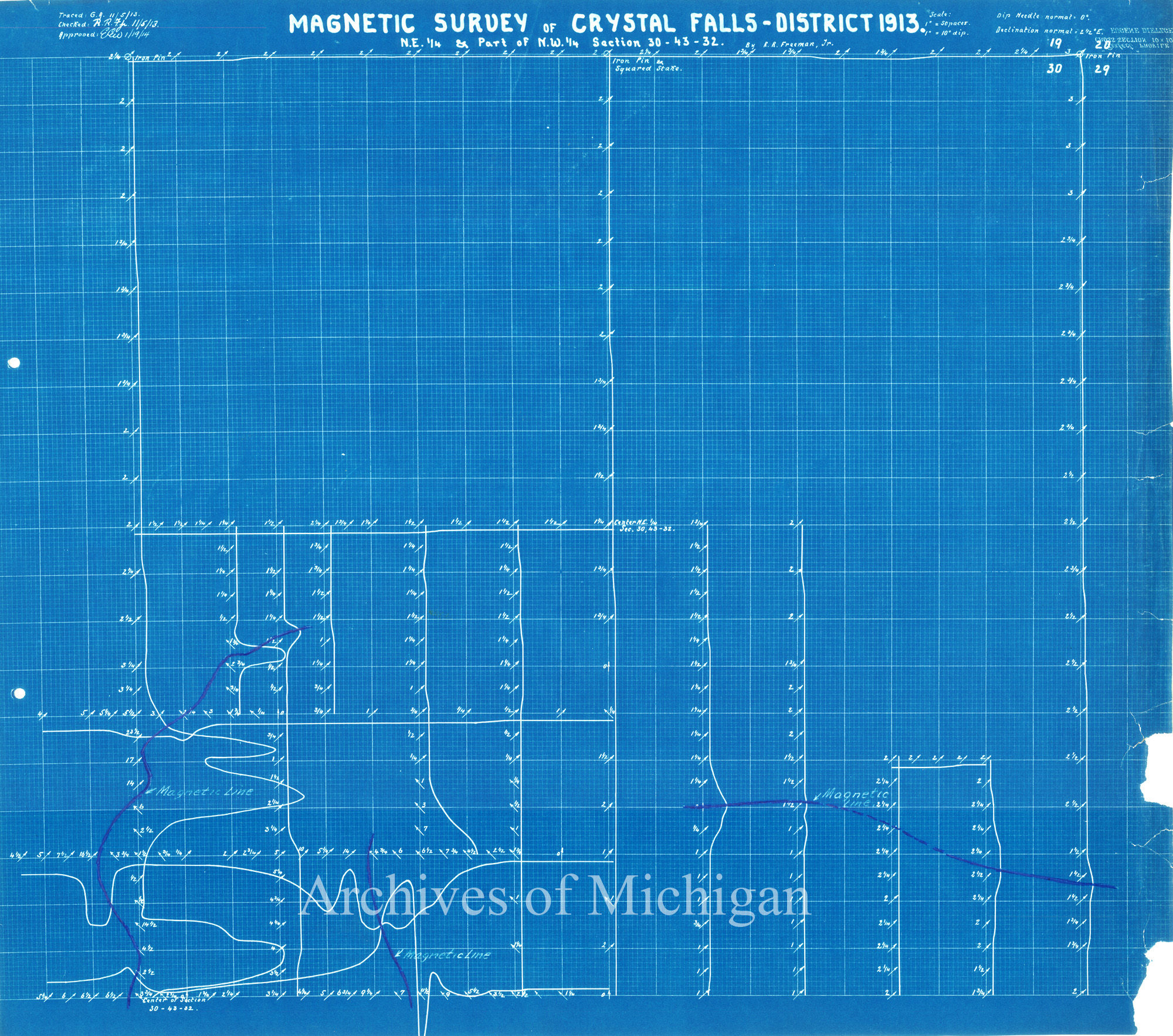
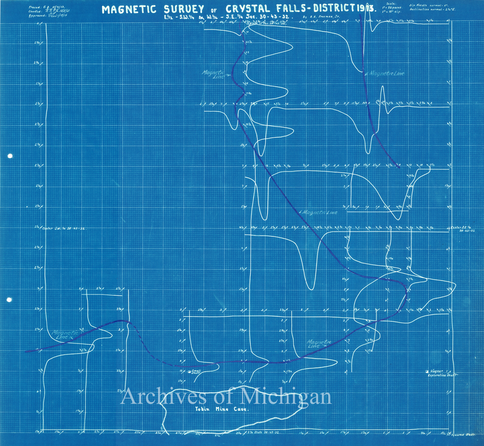
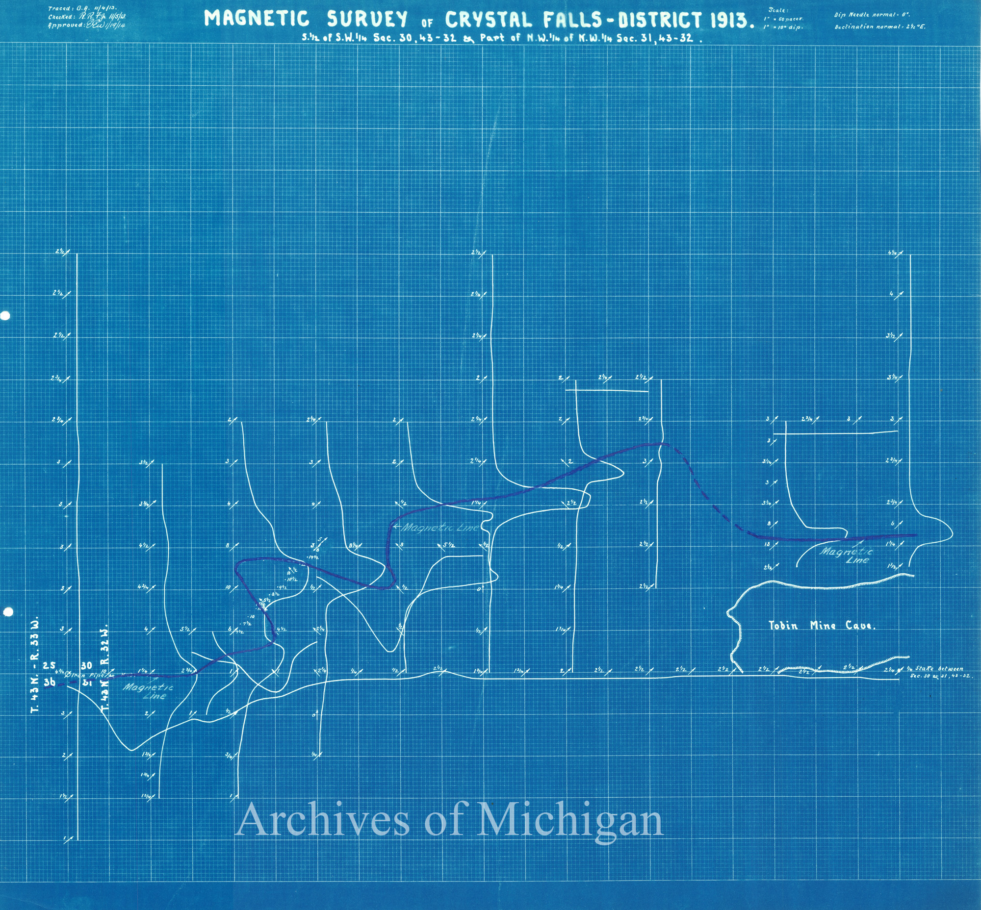
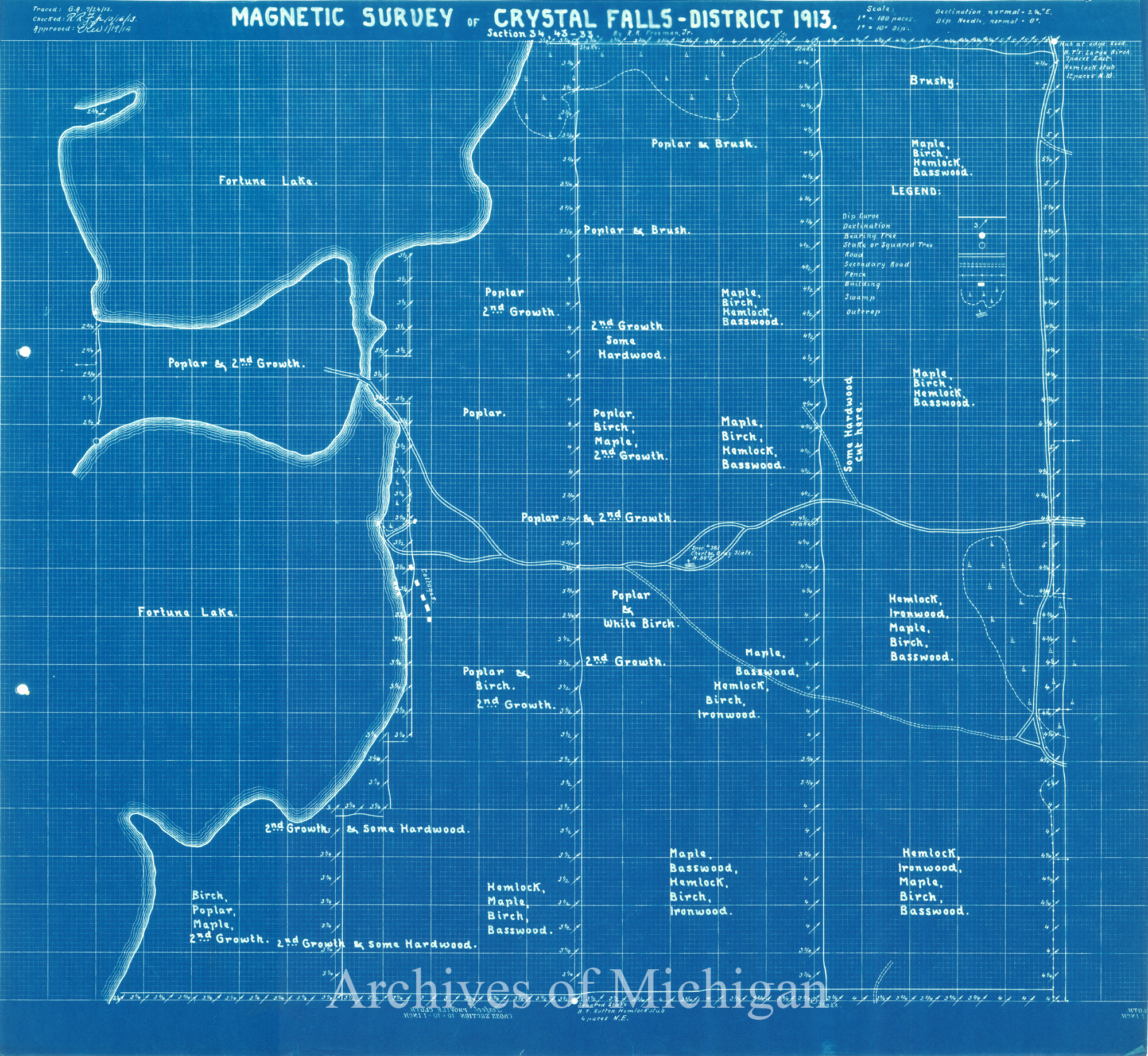
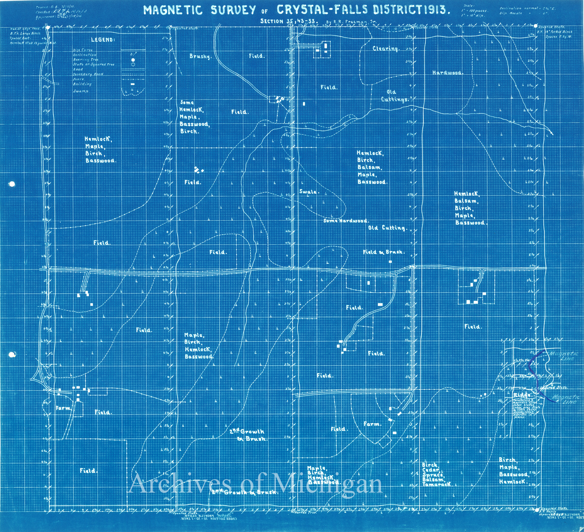
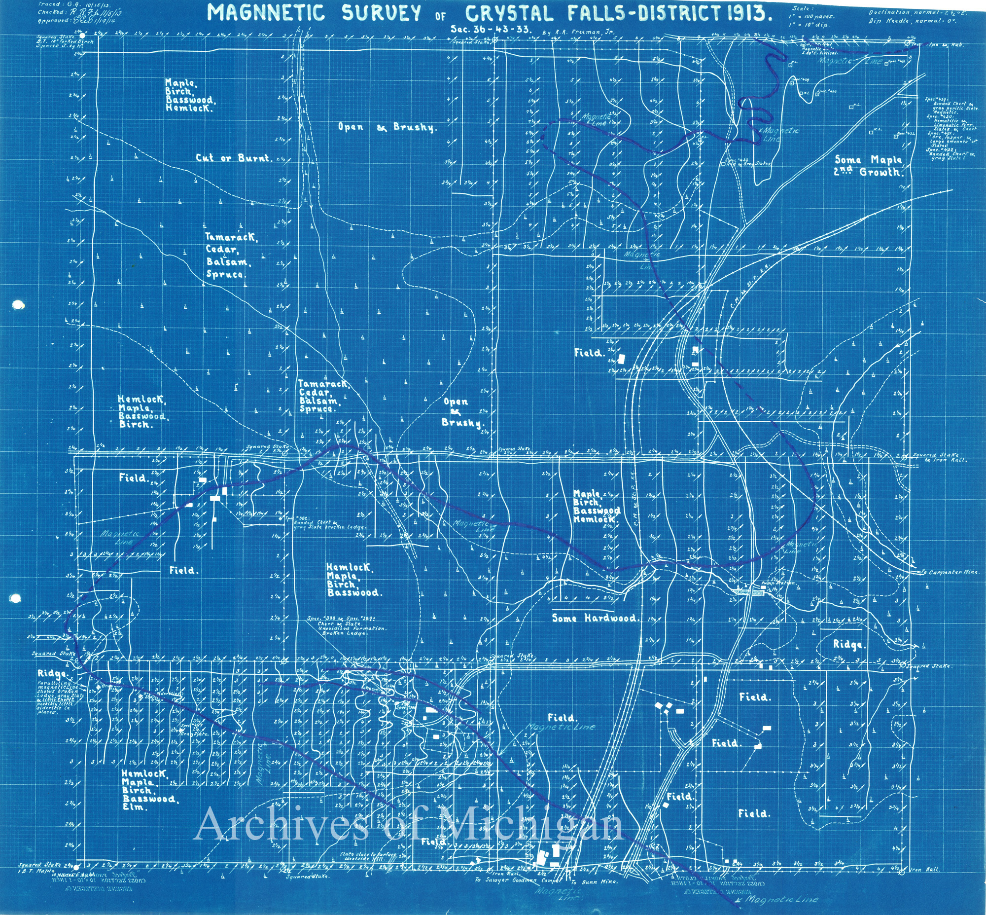
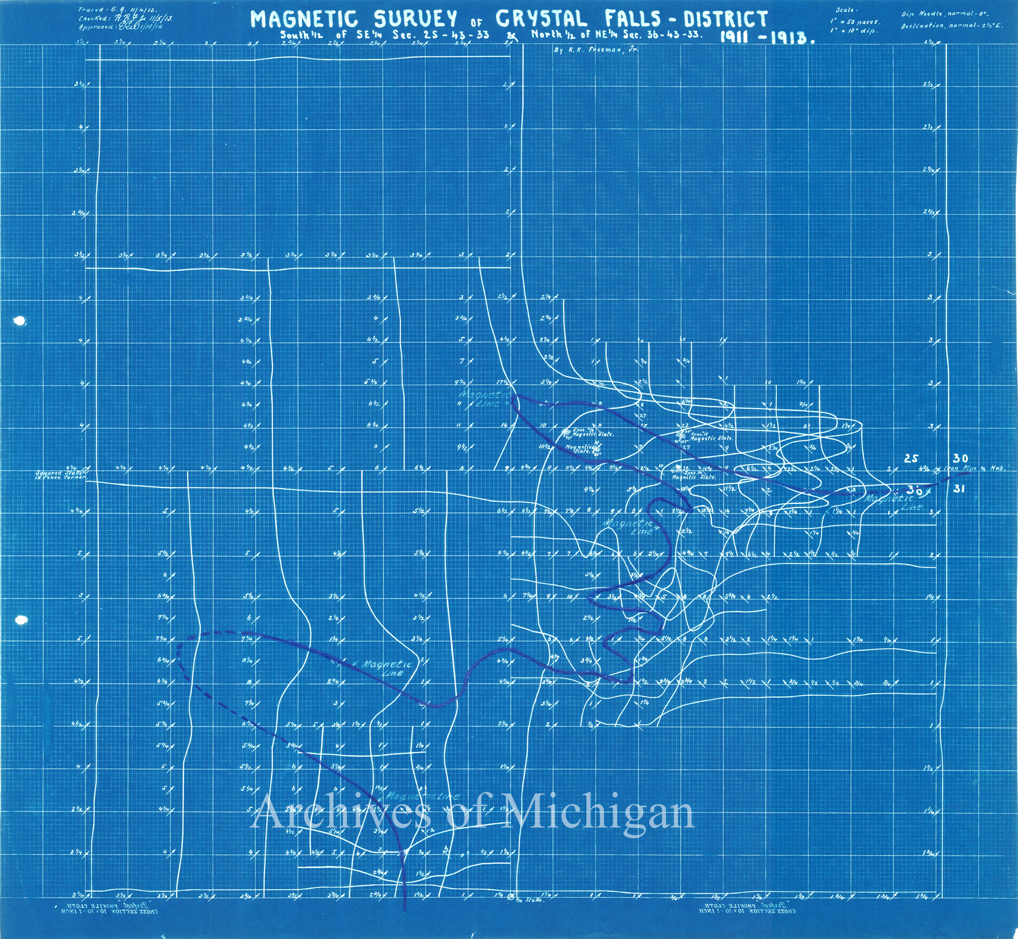
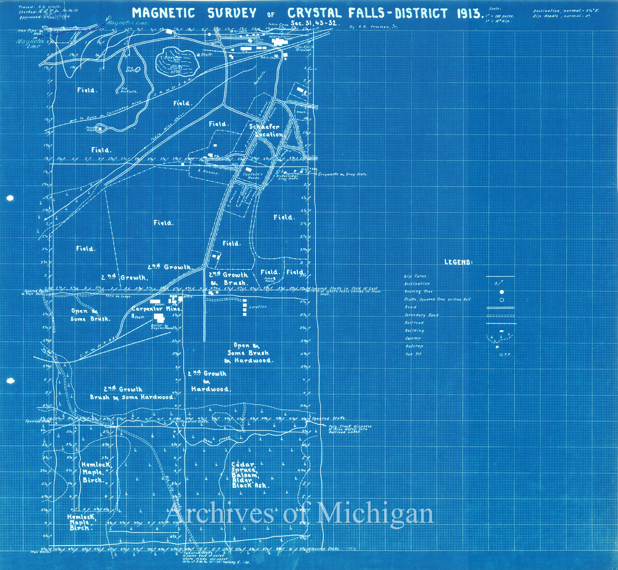
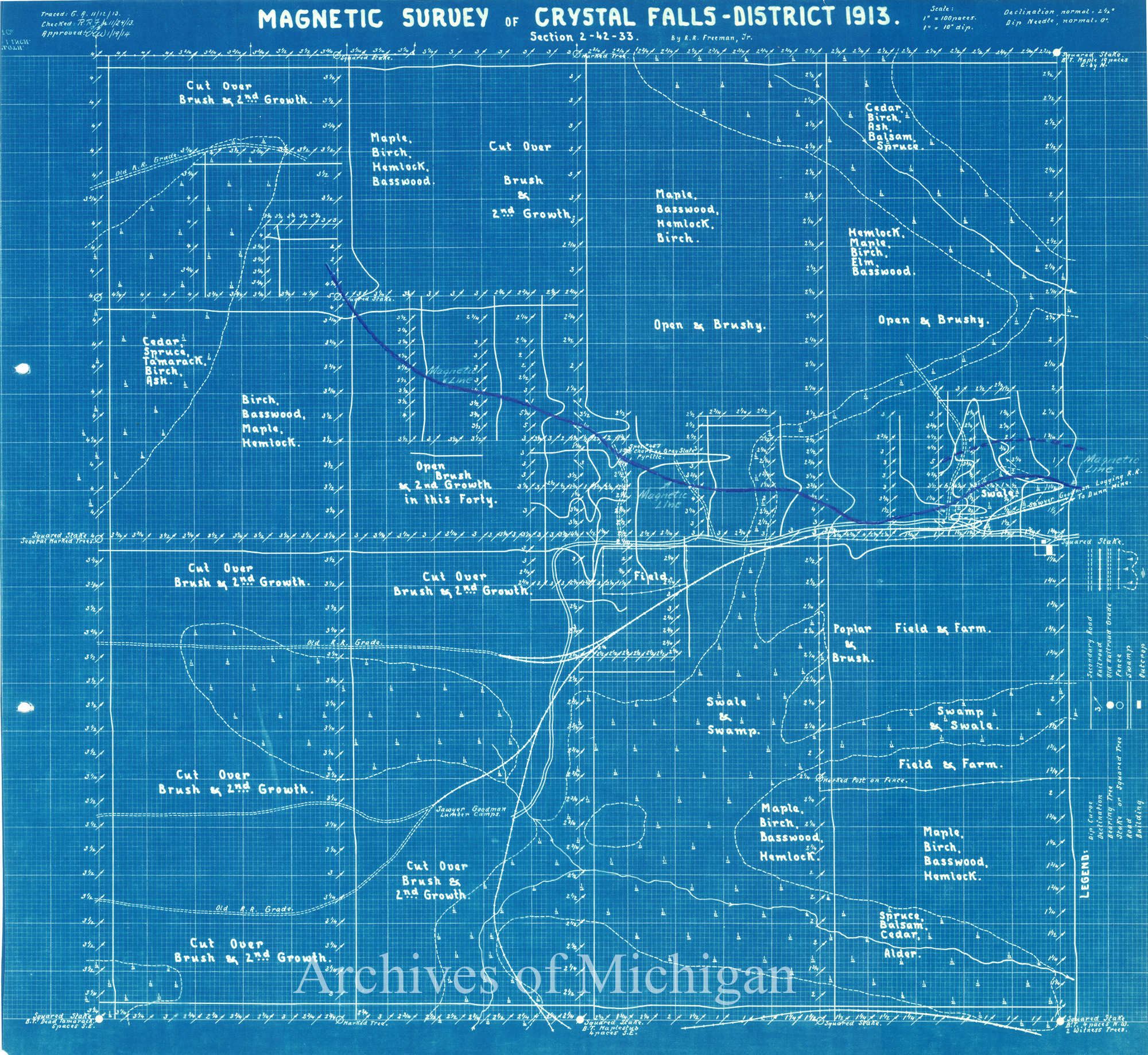
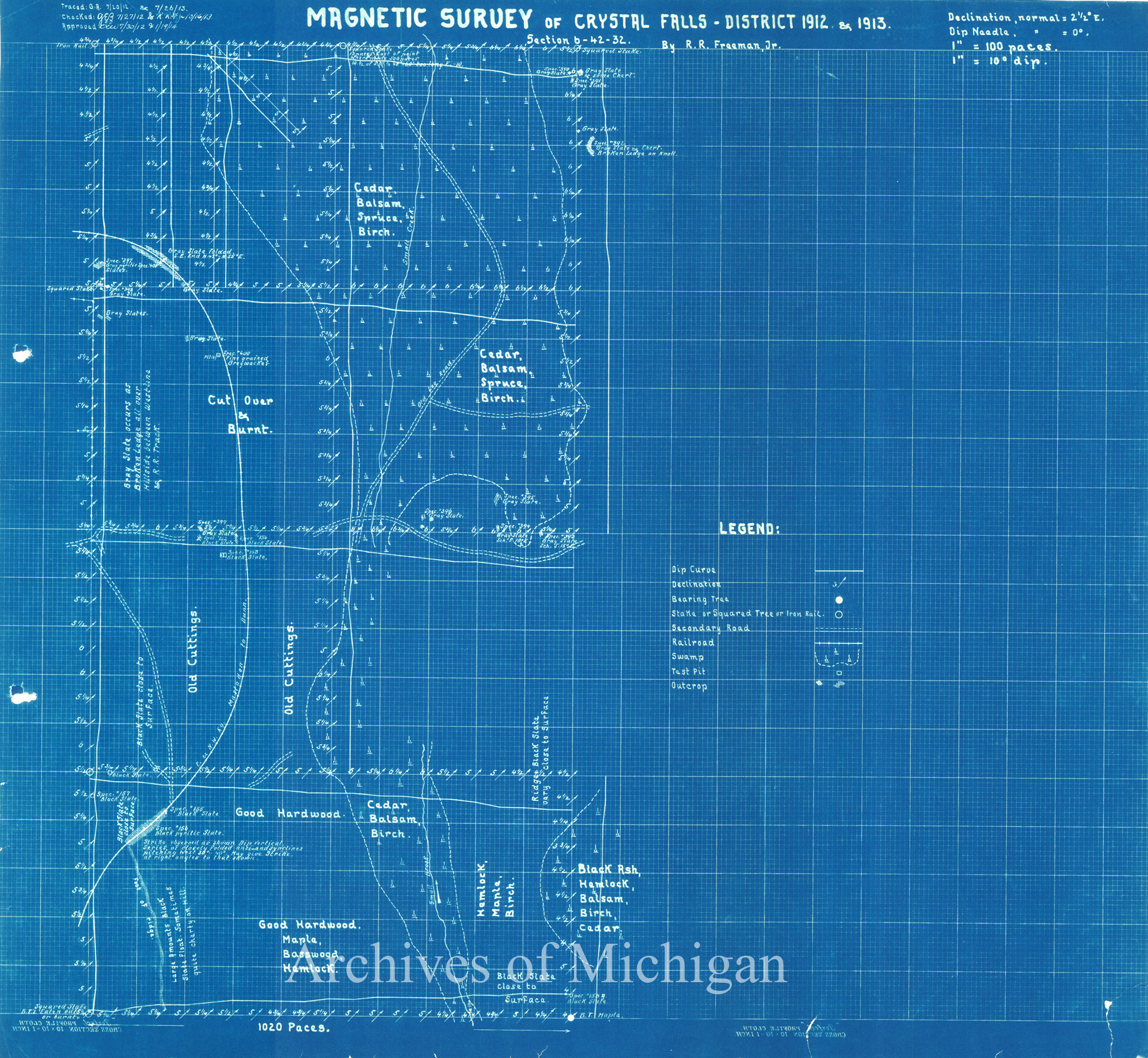
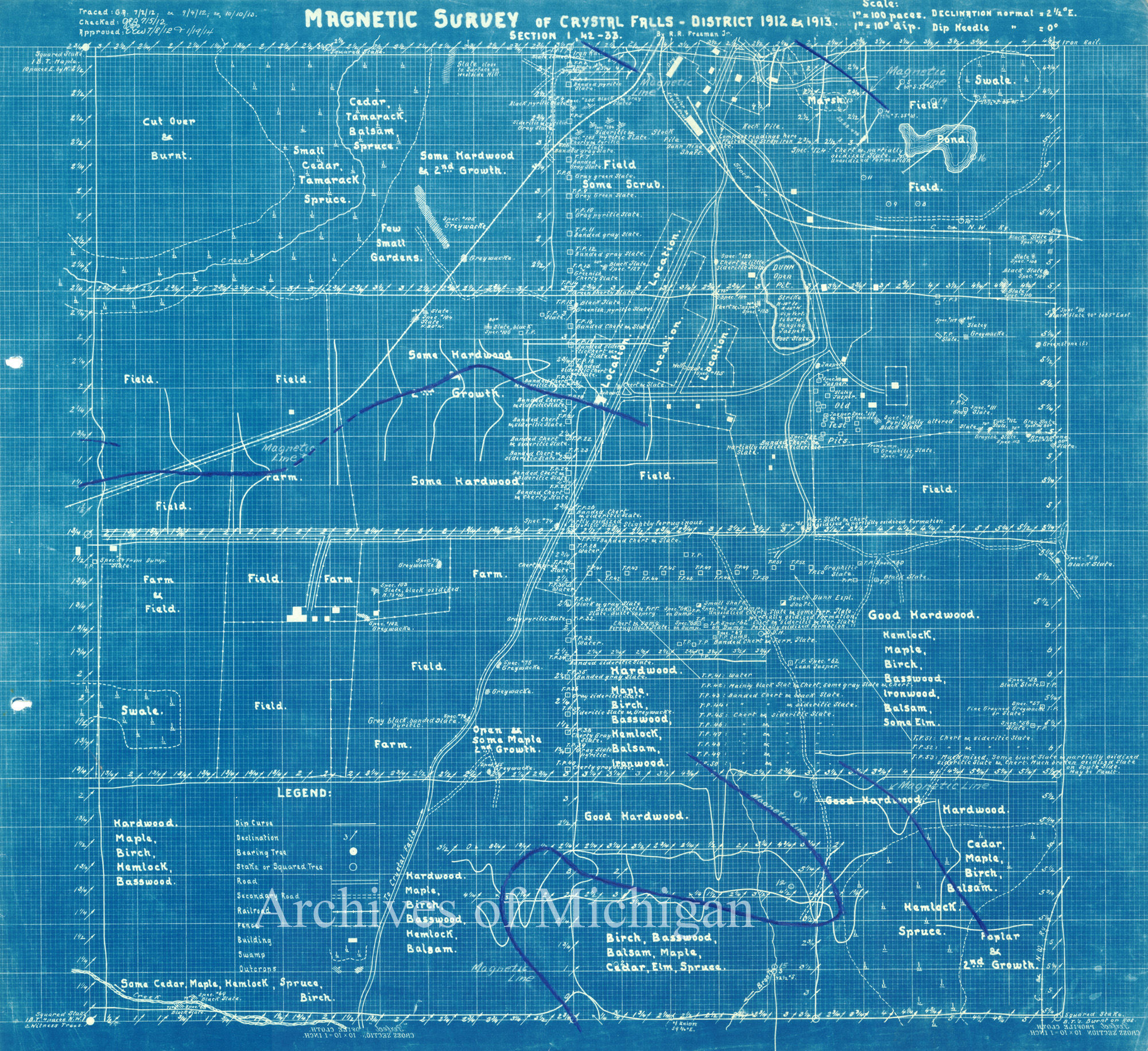
Magnetic Survey of Crystal Falls-District, Mastodon Township (19 Maps) 1913 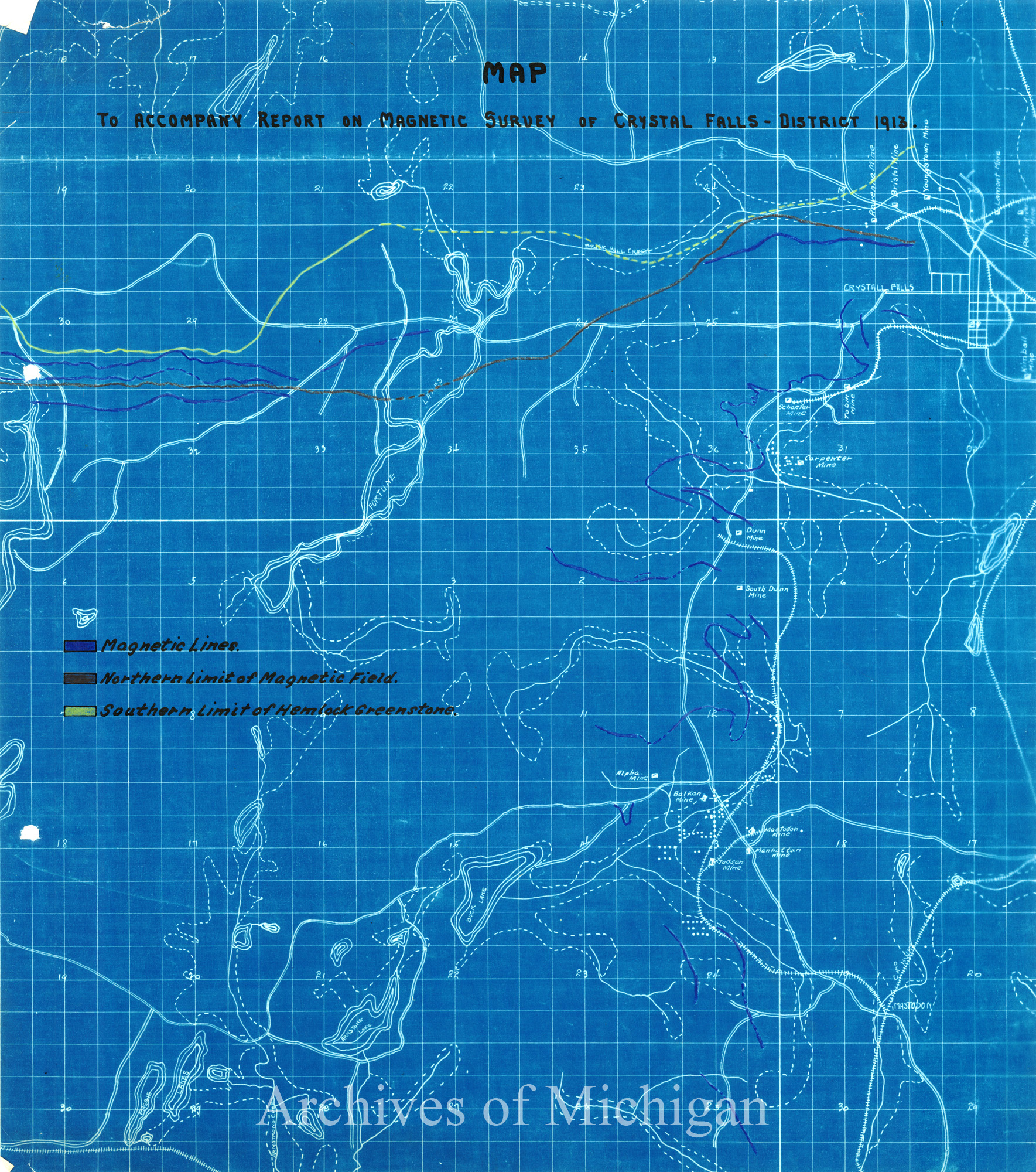
|
||||||||||||||||
|
Crystal Falls District, Mastadon Township ( 8 maps) 1921 
|
||||||||||||||||
|
Canisteo Cliffs Mine Open Pit 1930 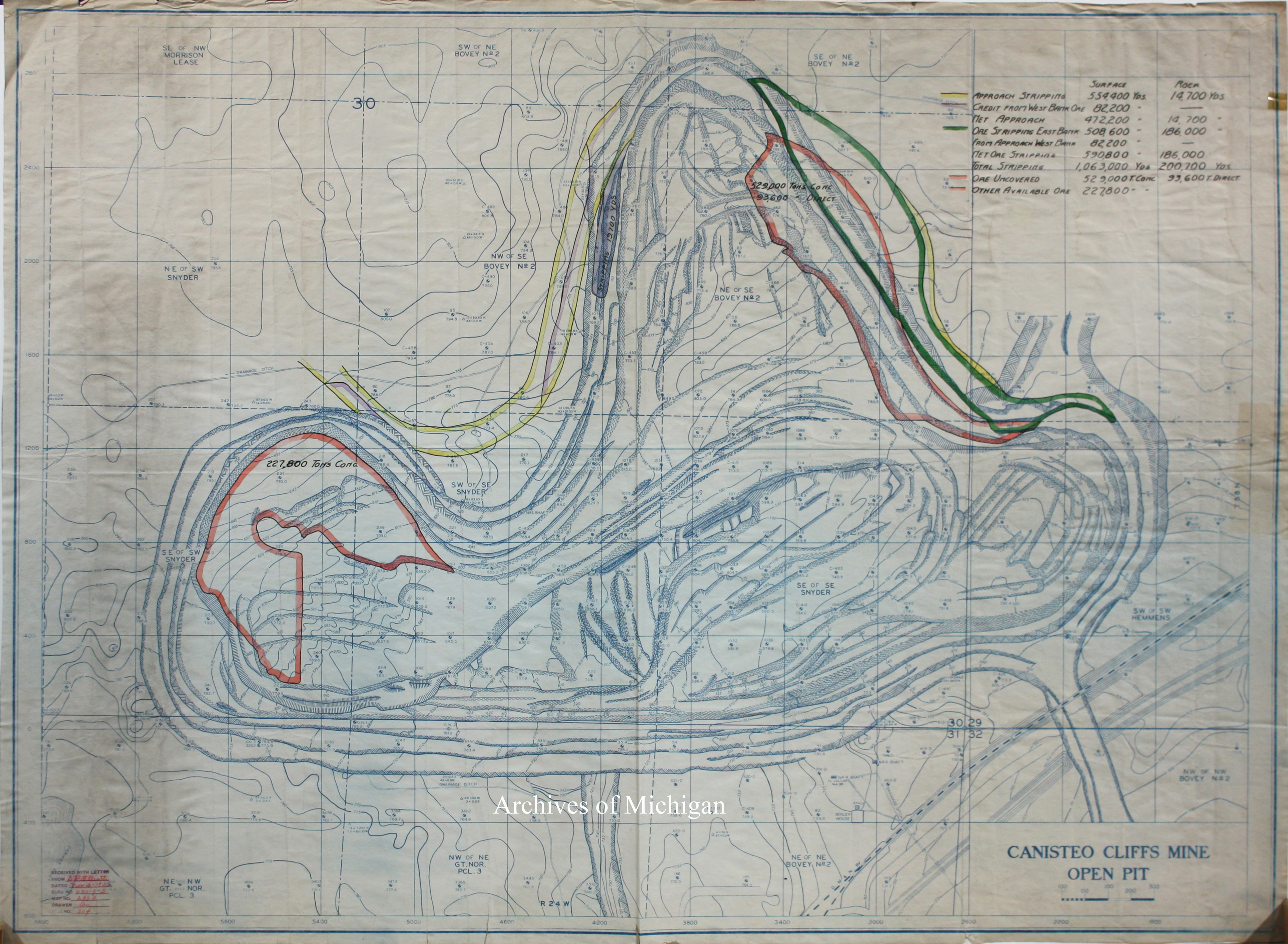
|
||||||||||||||||
|
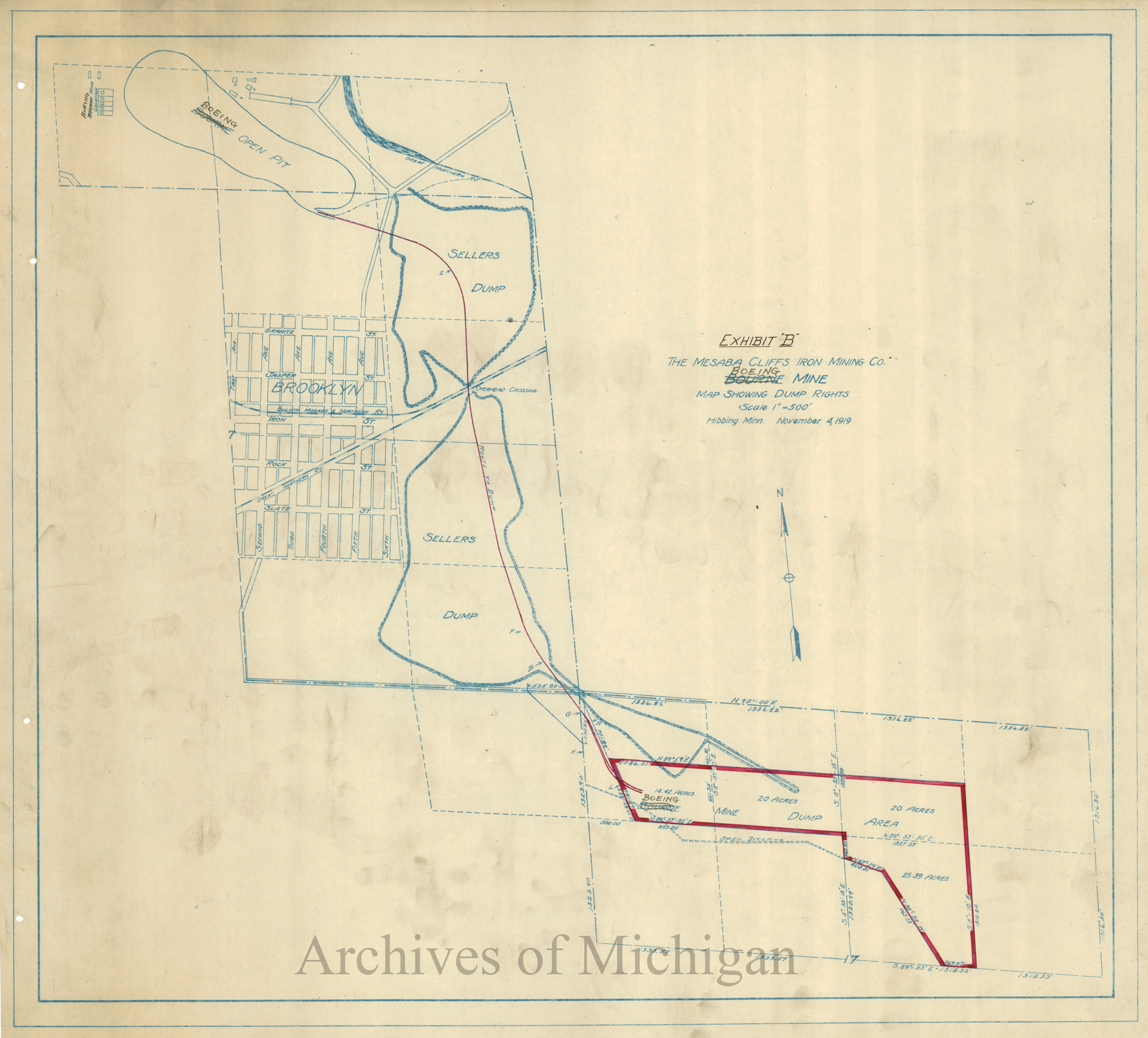
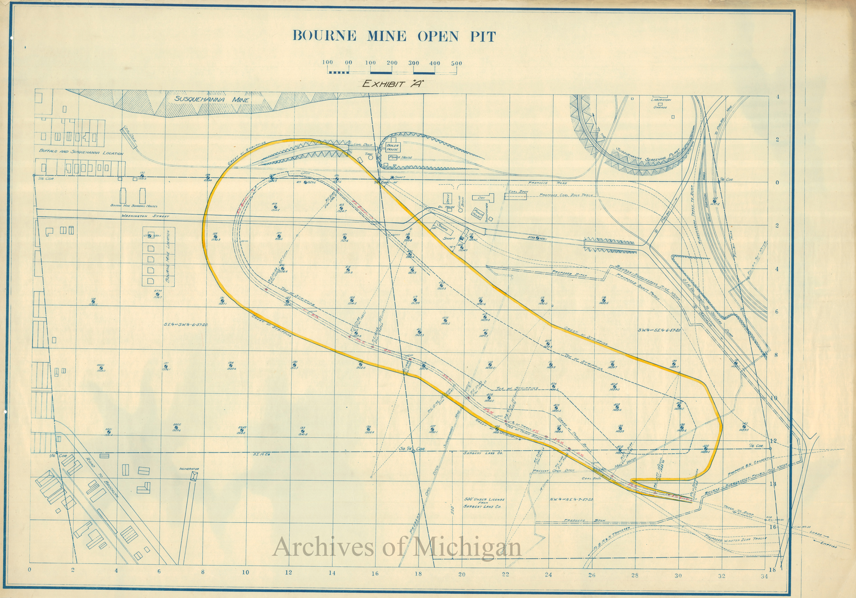
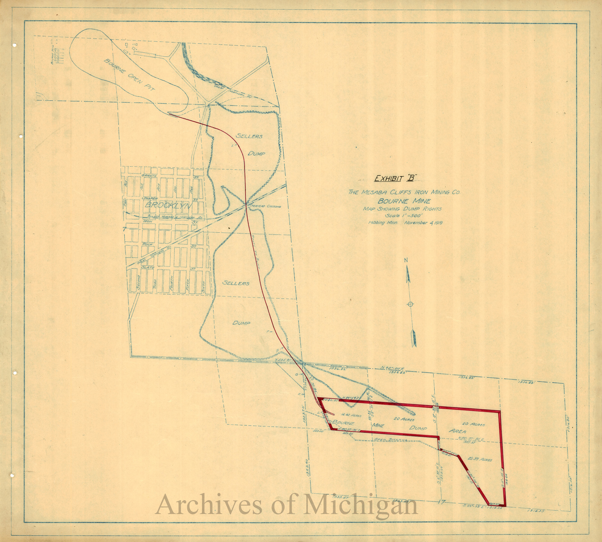
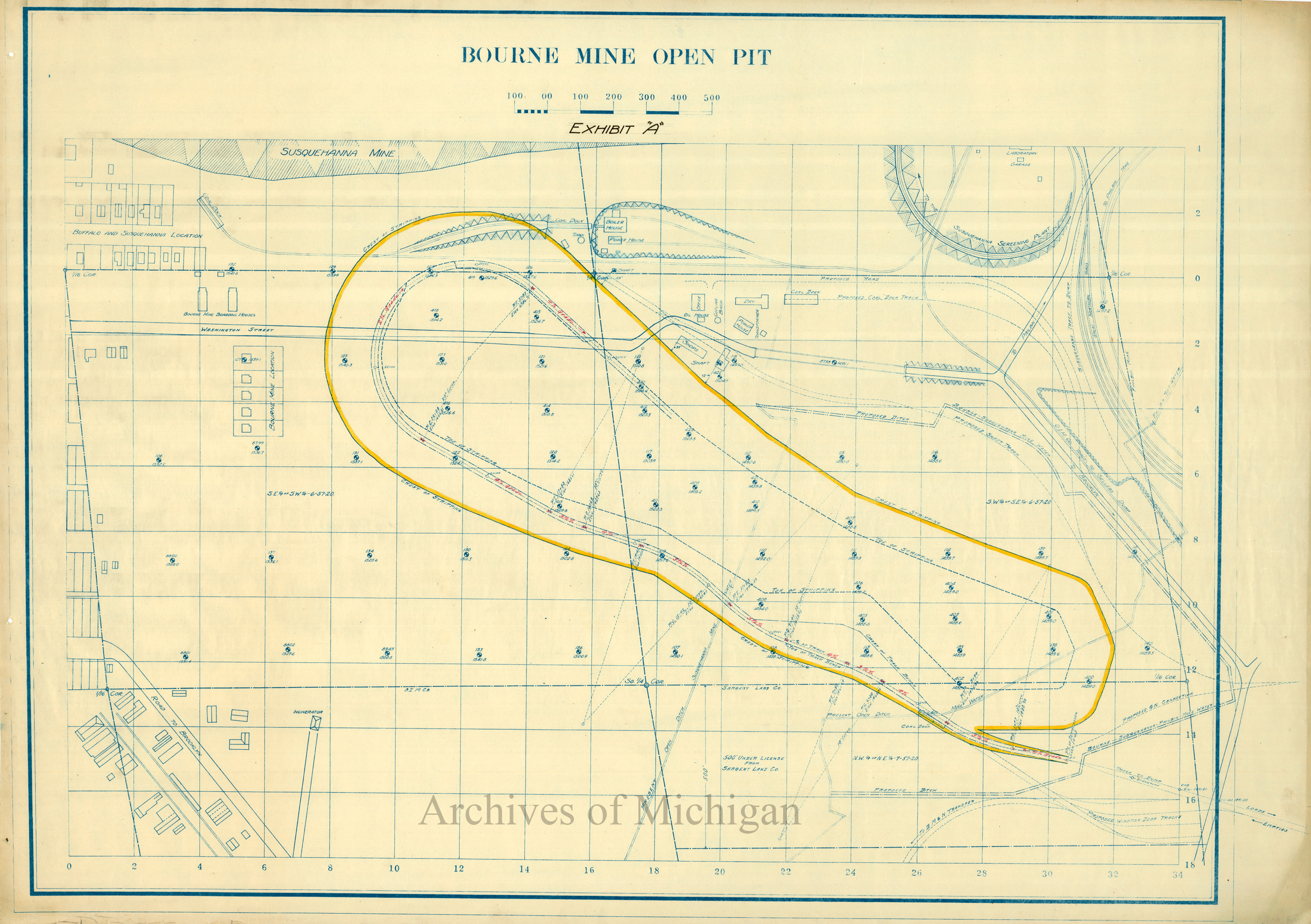
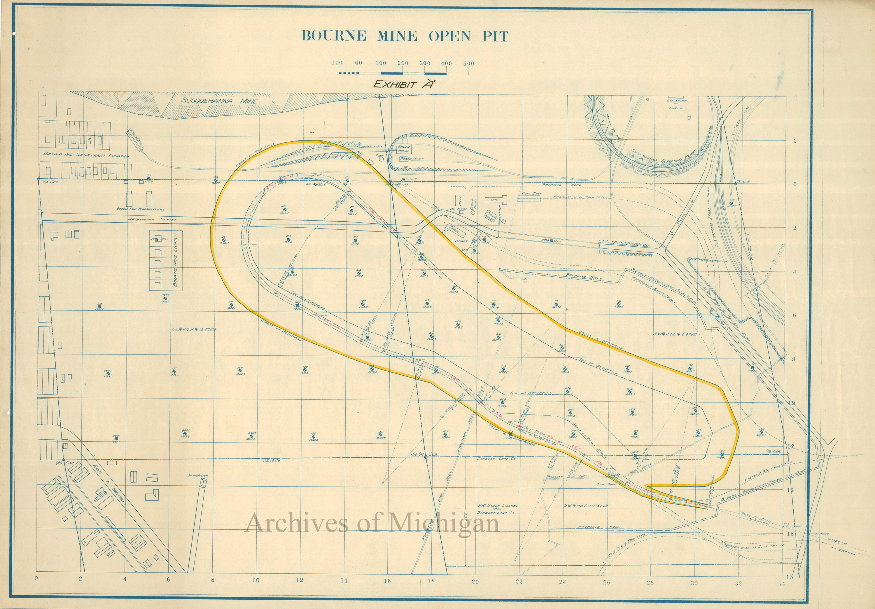
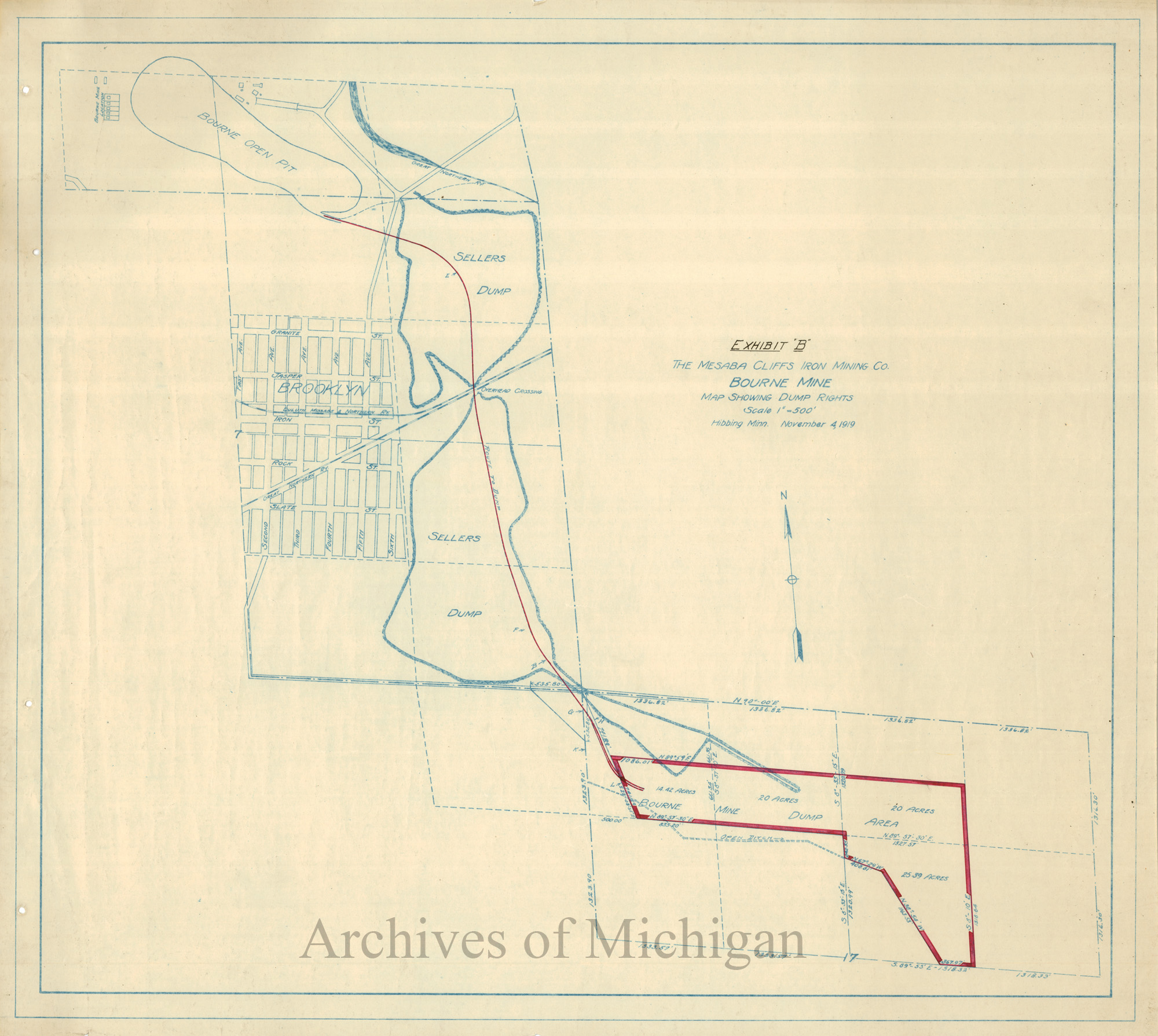
Bourne Mine Open Pit (8 maps) 1916 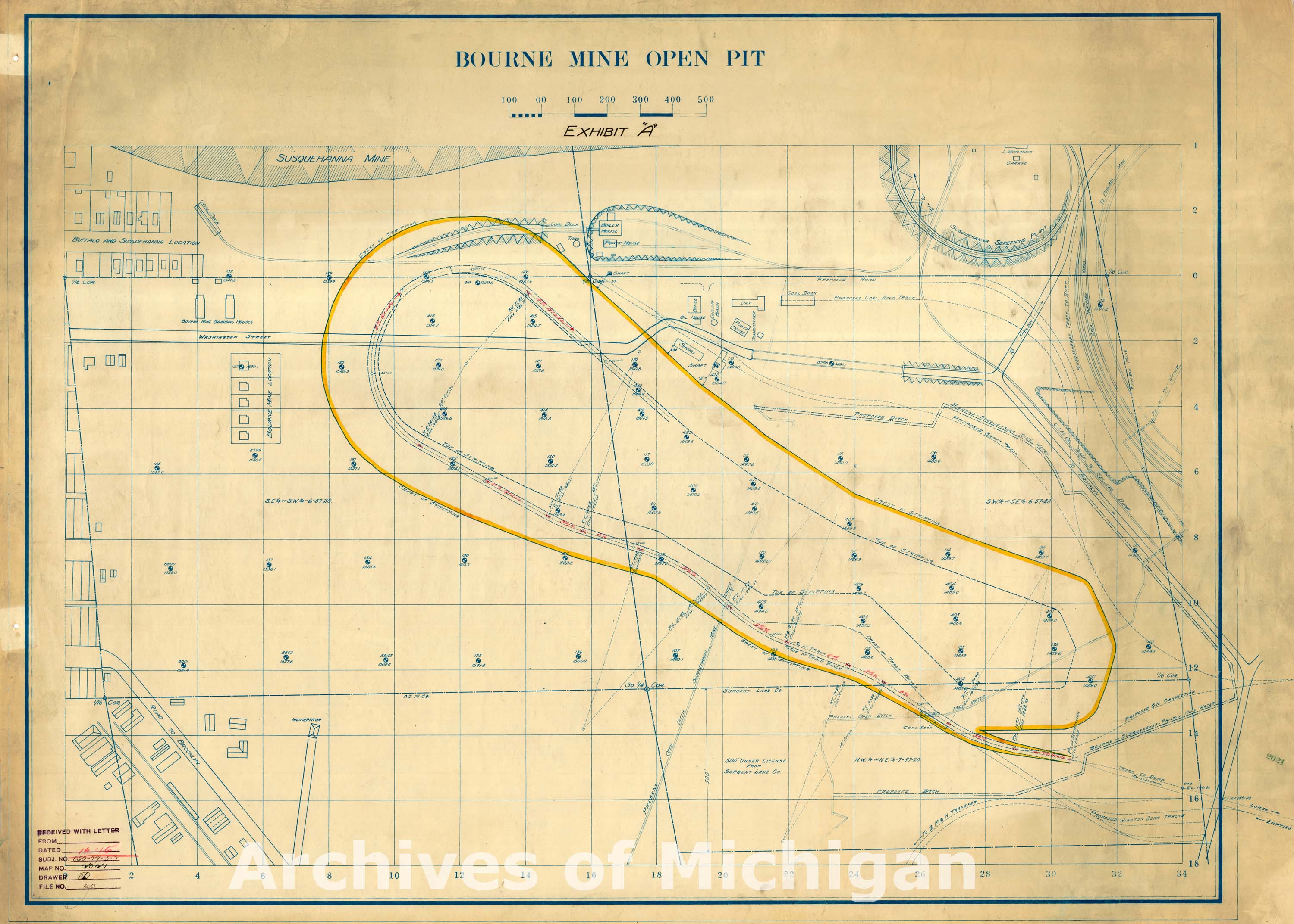

|
||||||||||||||||
|
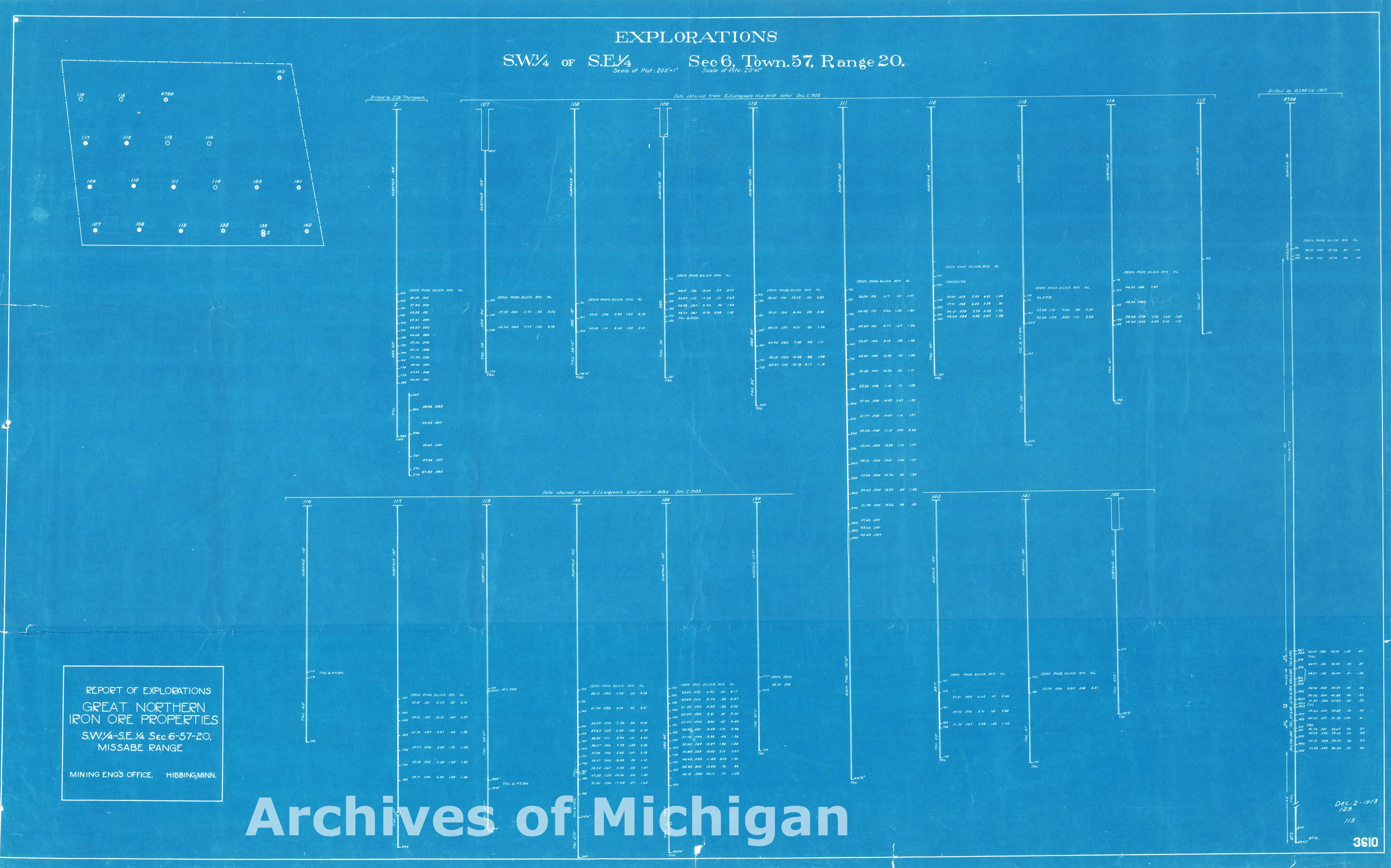
Explorations S.E. 1/4 Sec. 6 Town 57 Range 20 (2 maps) 1916 
|
||||||||||||||||
|
Contour Map of Territory Surrounding Ore Body in Section 3, T. 47 N., R28 W. Ely Township 1920 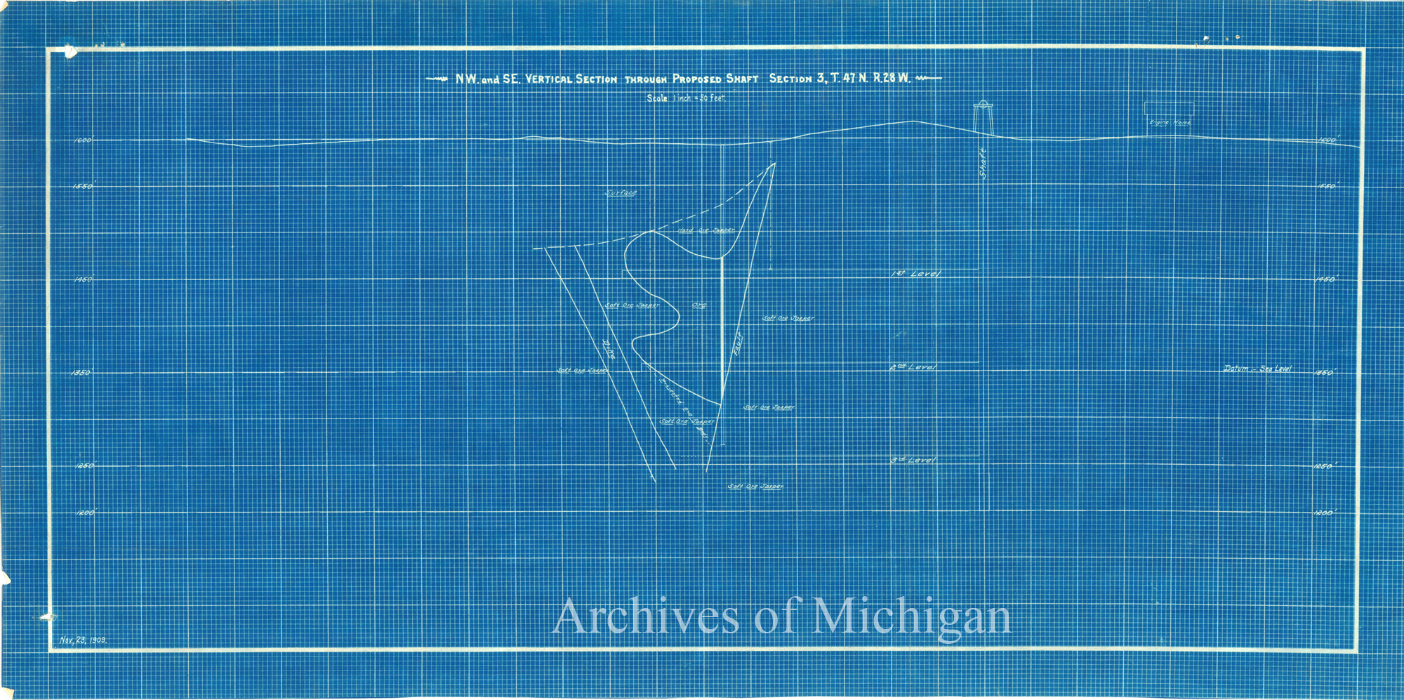
|
||||||||||||||||
|
NW and SE Vertical Section through proposed shaft section 3 T. 47 N. R28 W., Contour Map of Territory Sets 1920, 1909 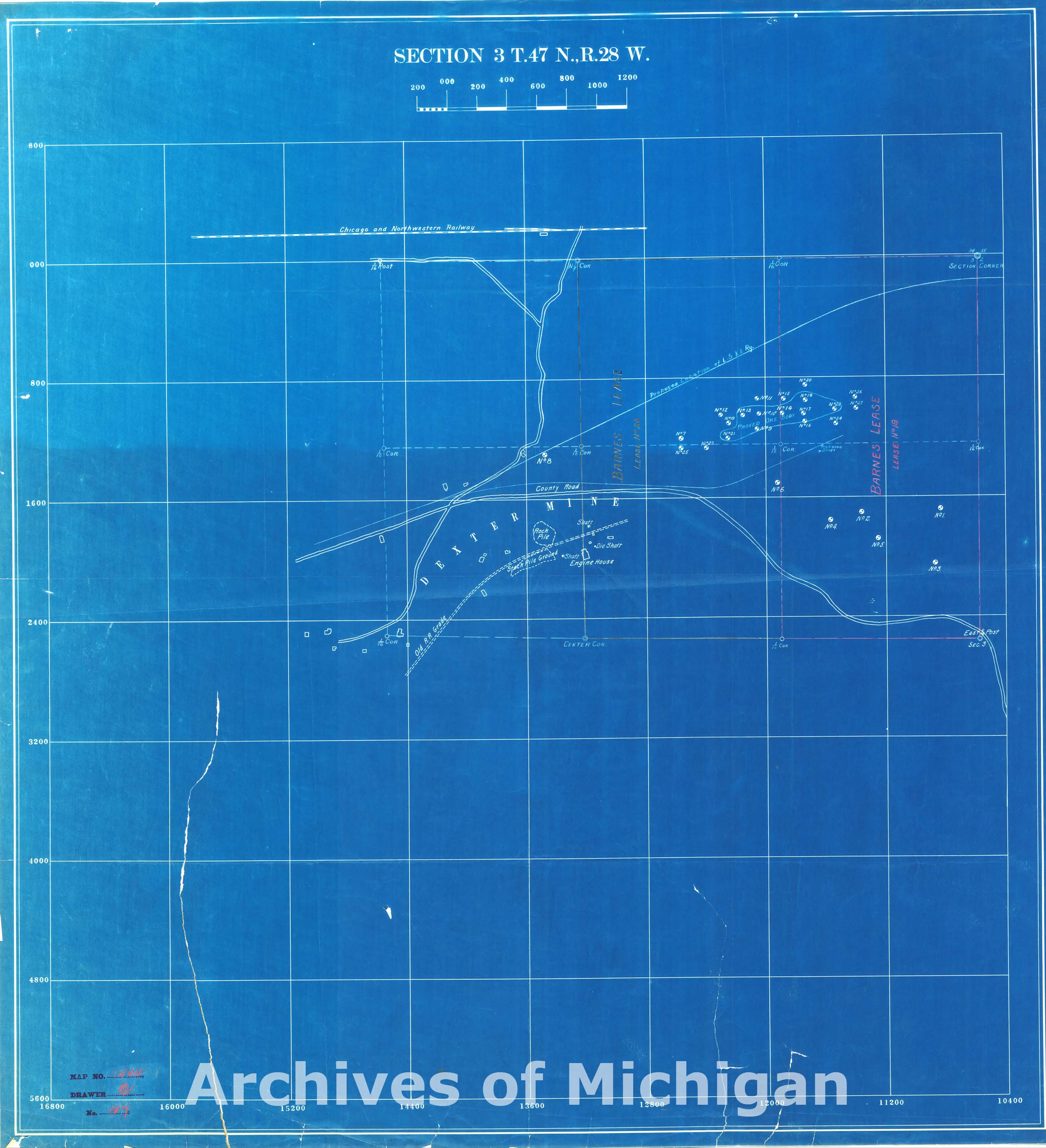
|
||||||||||||||||
|
Contour Map of Territory , Section 3 1909 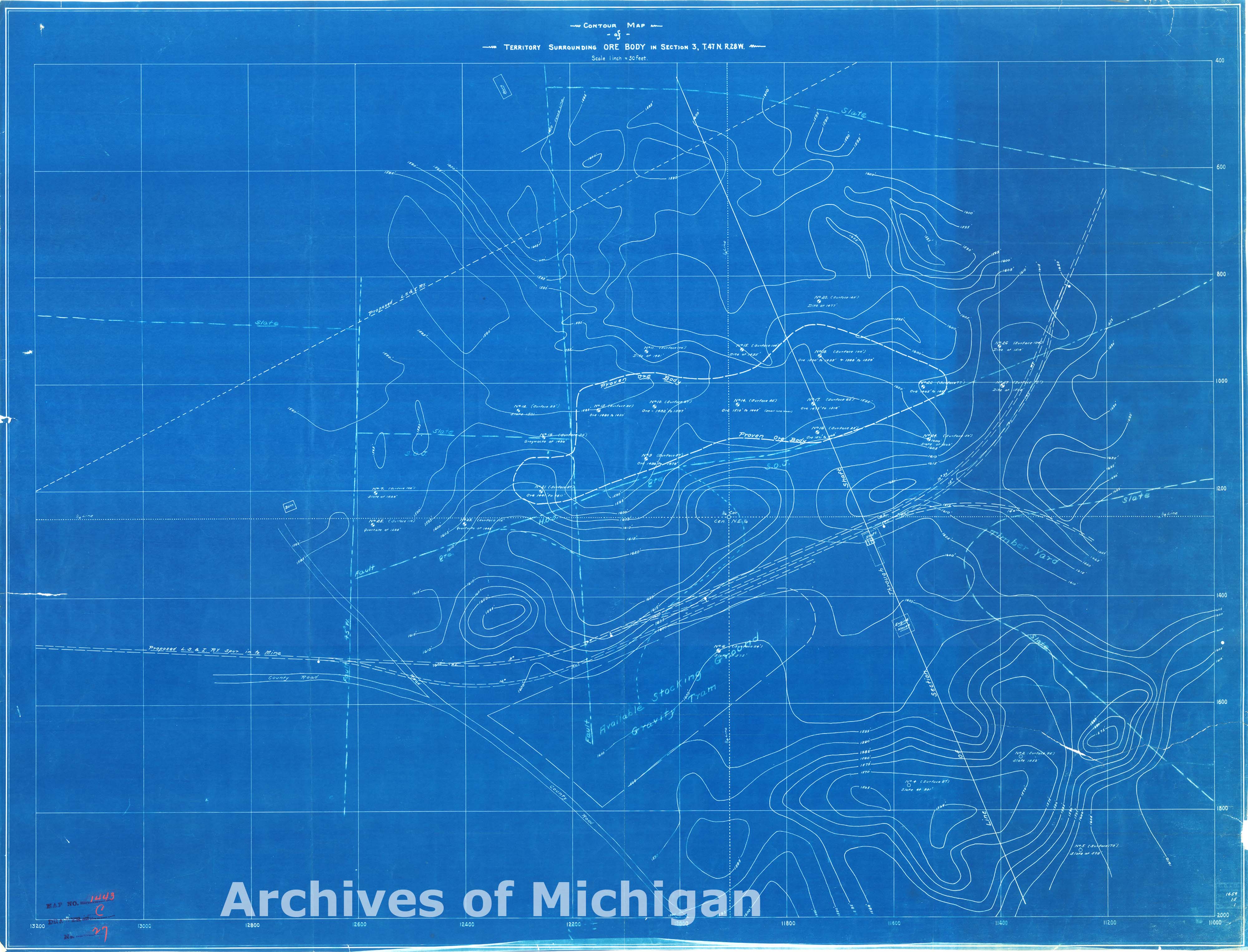
|
||||||||||||||||
|
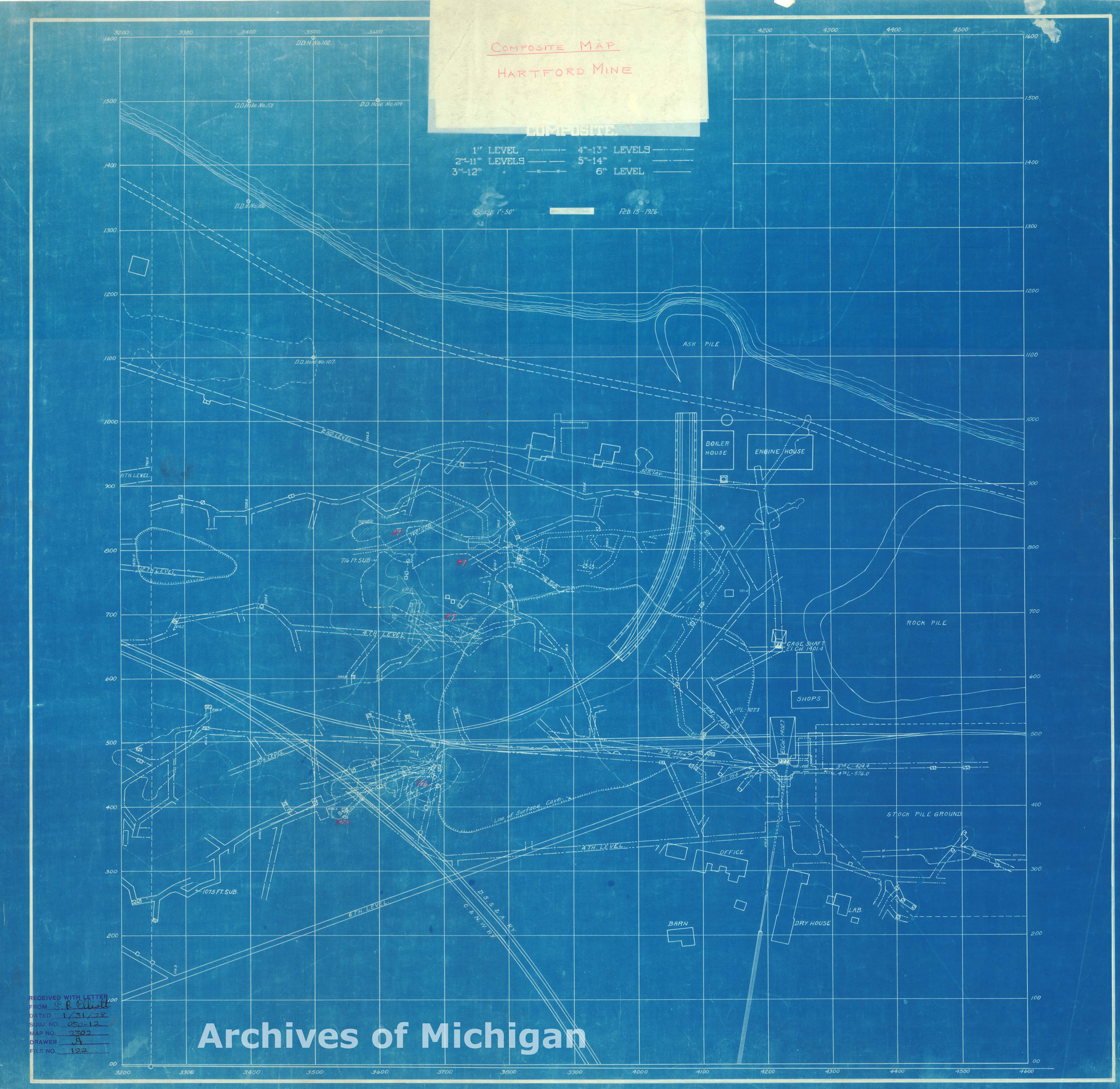
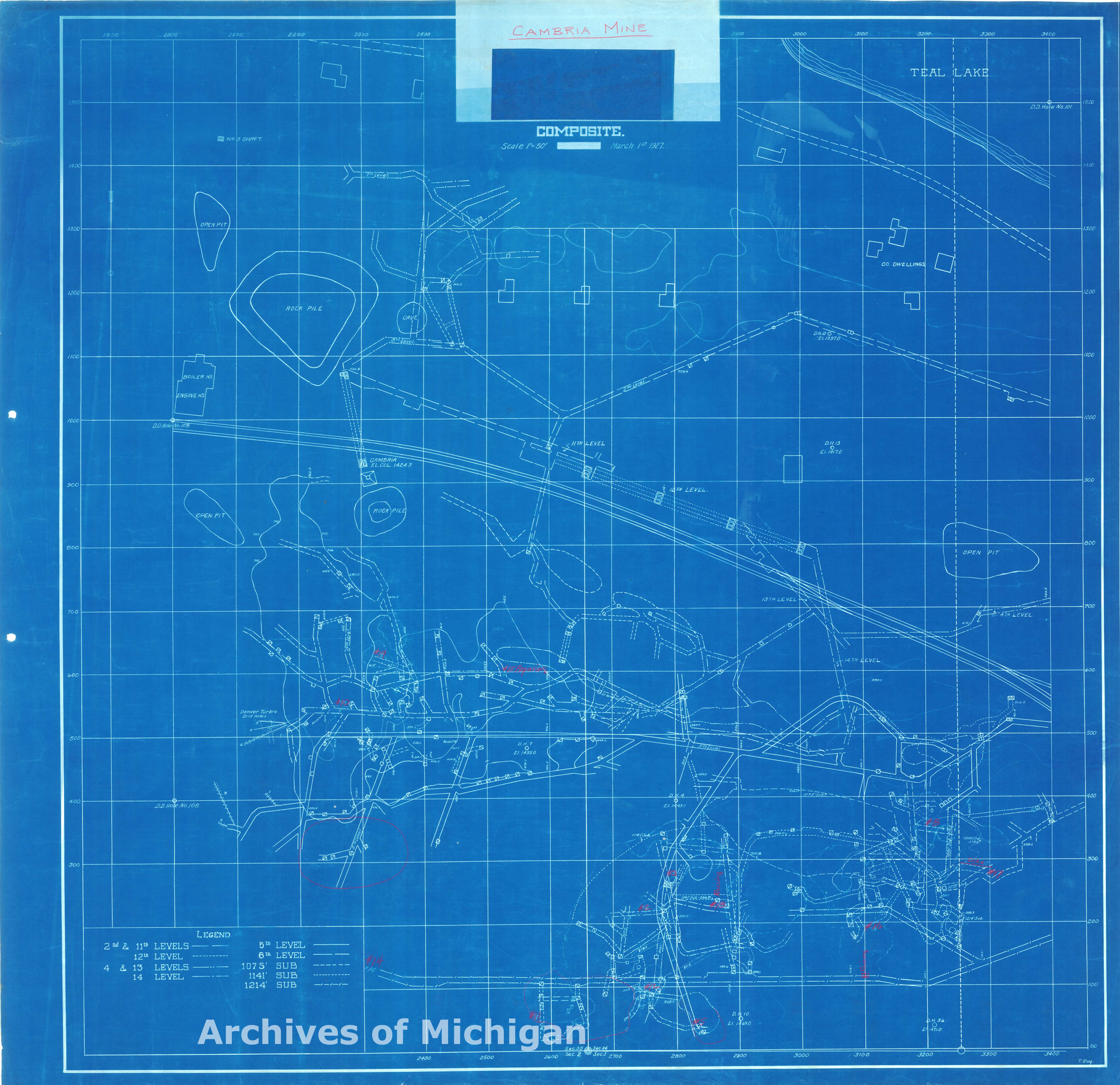
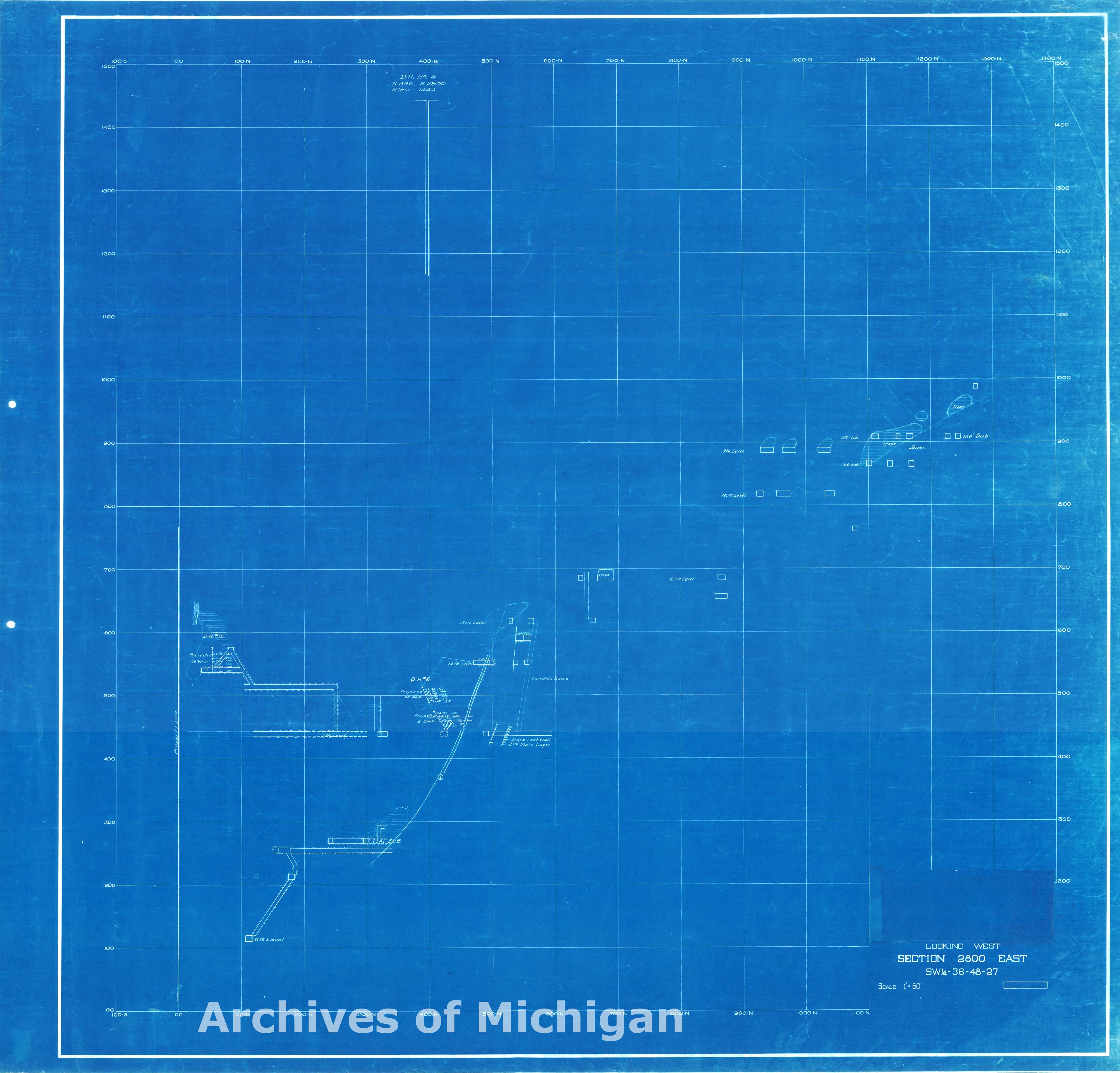
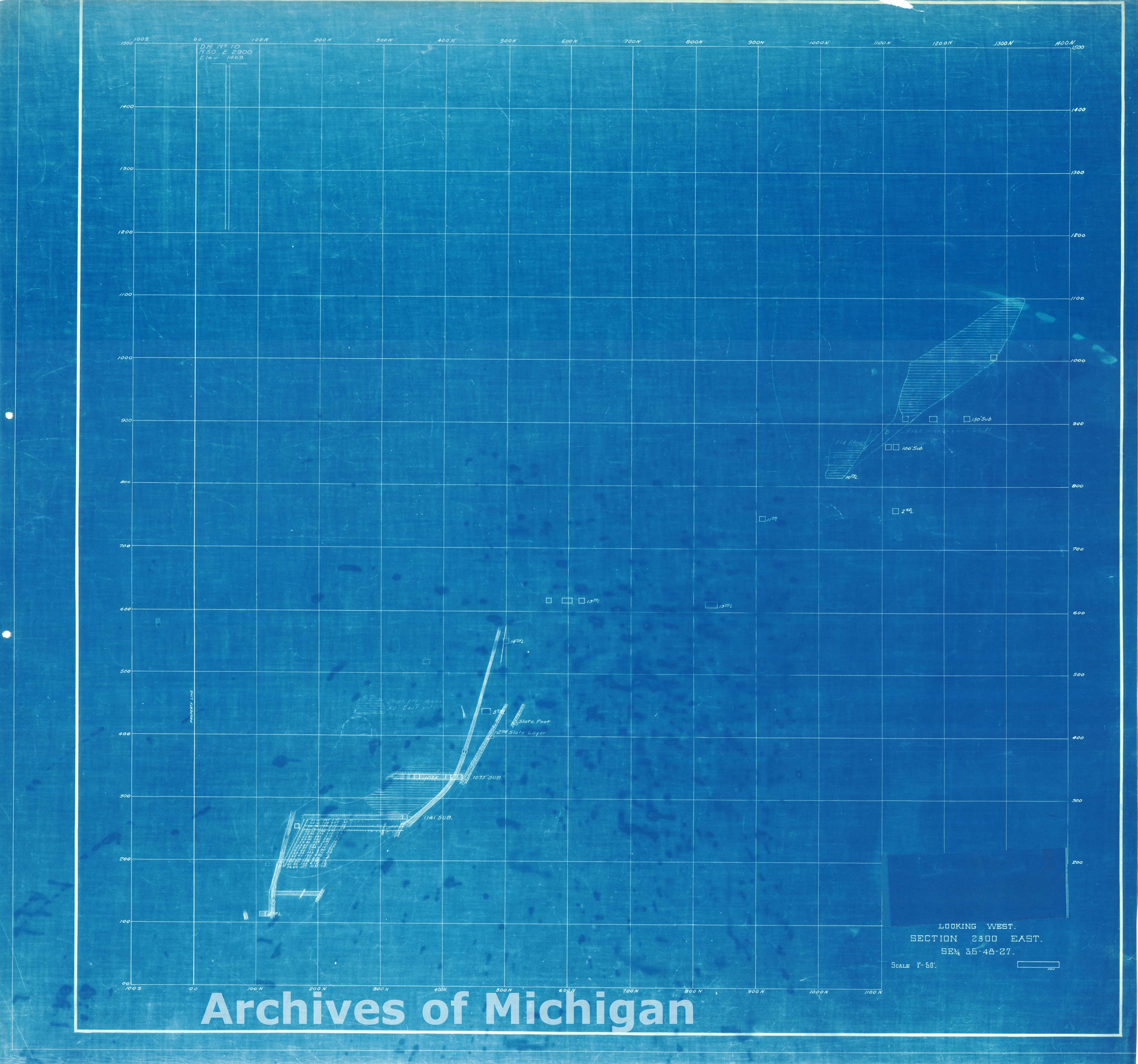
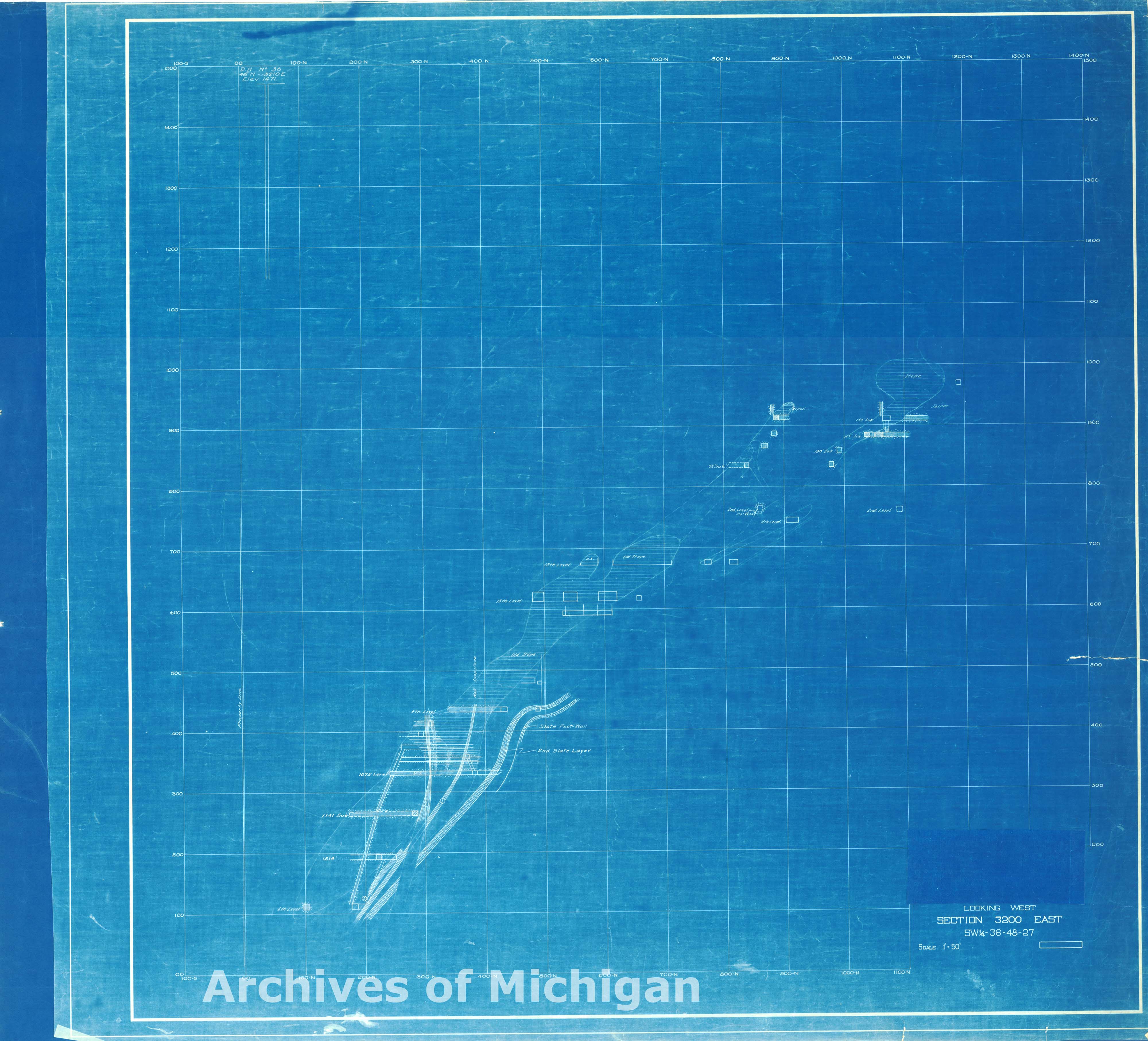
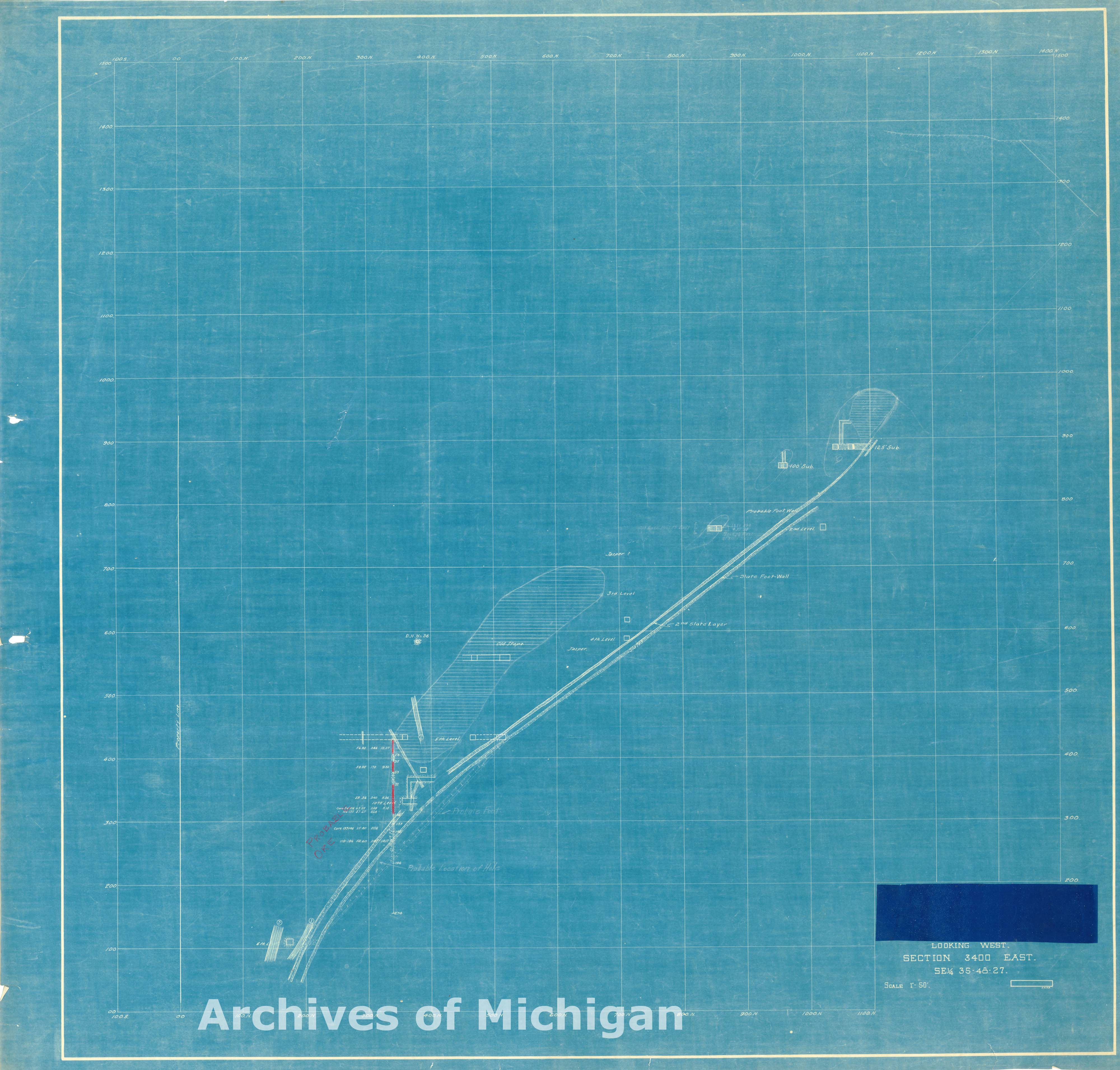
Composite Map Hartford and Cambria Mines (9 maps) 1927 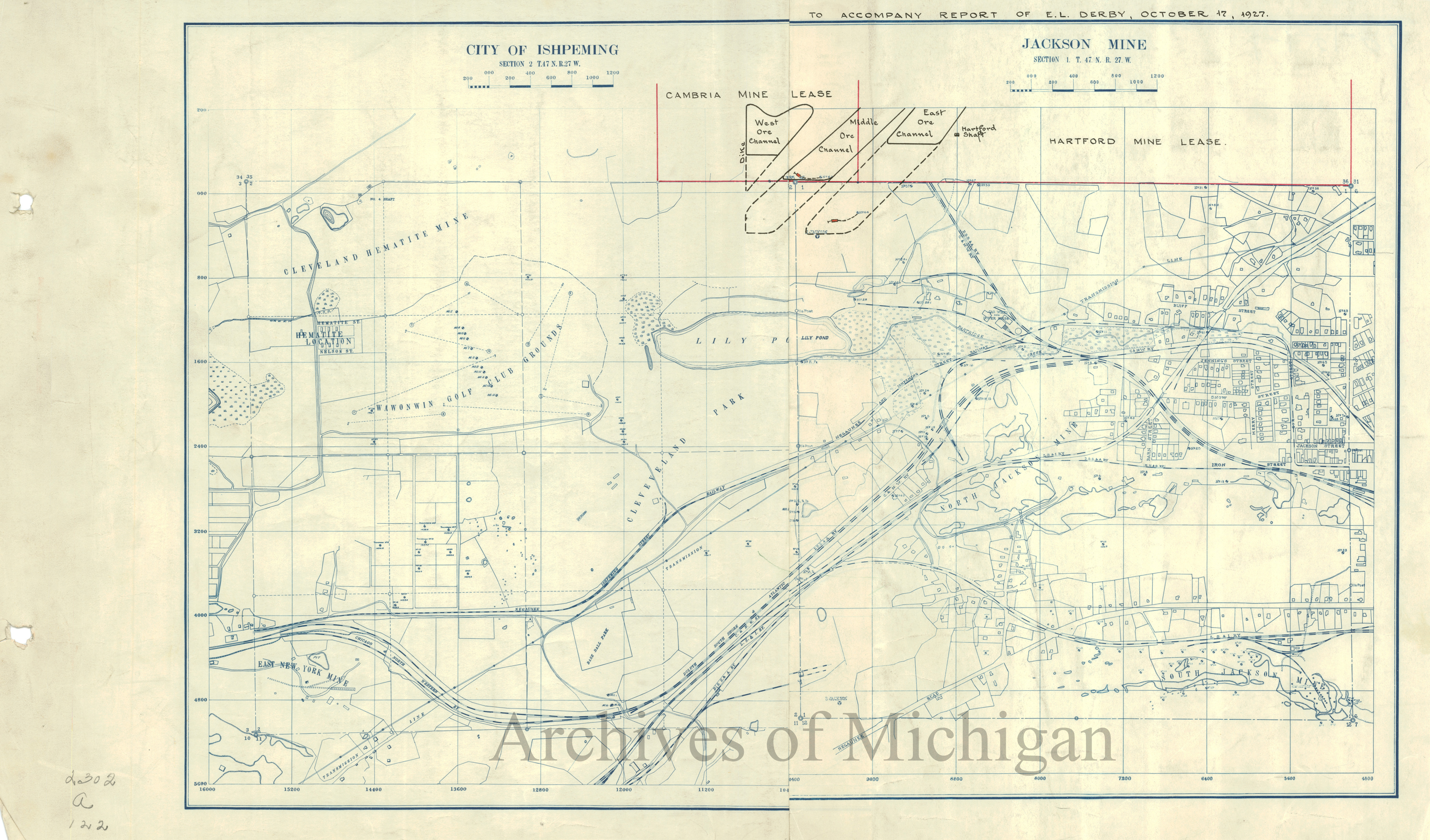
|
||||||||||||||||
|
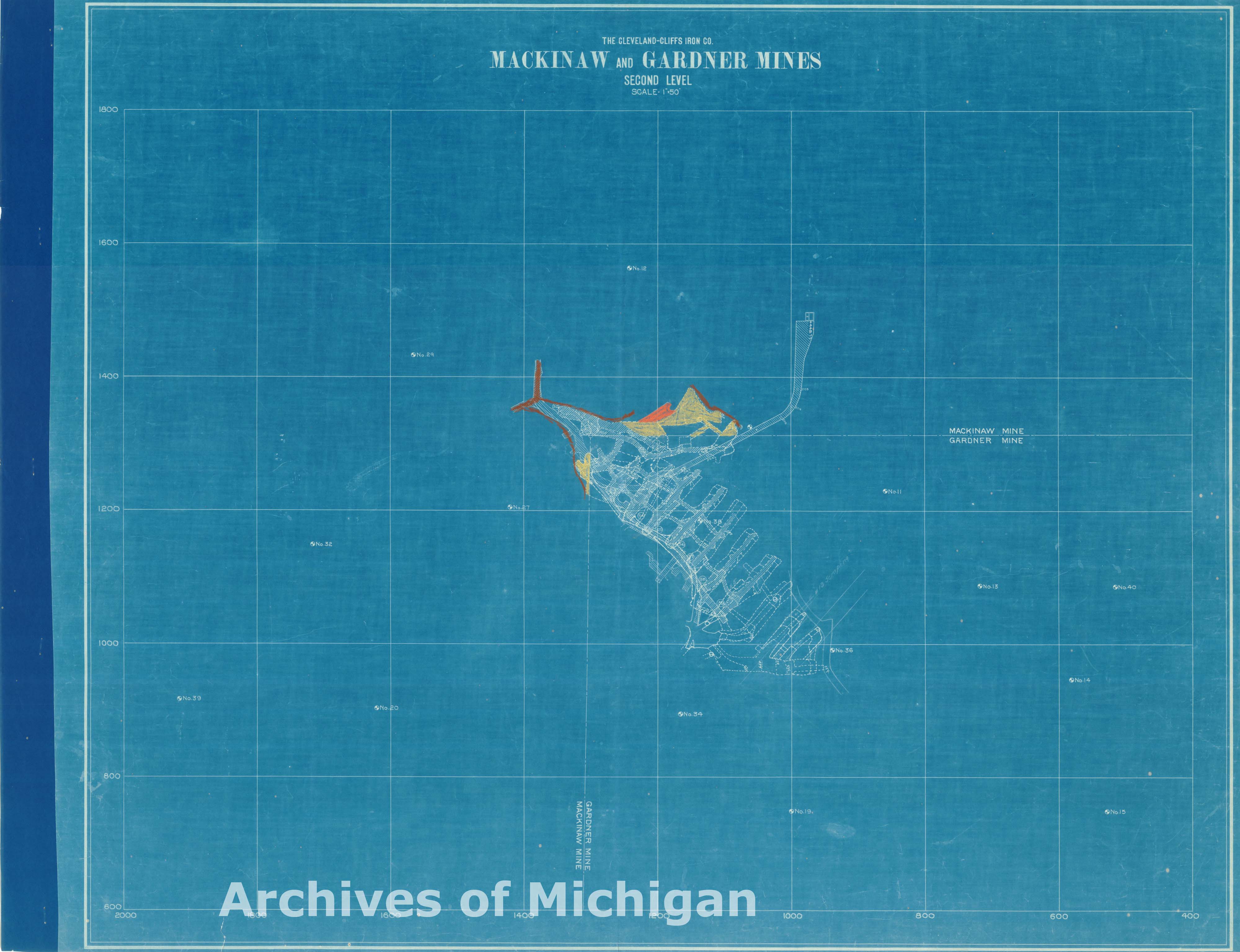
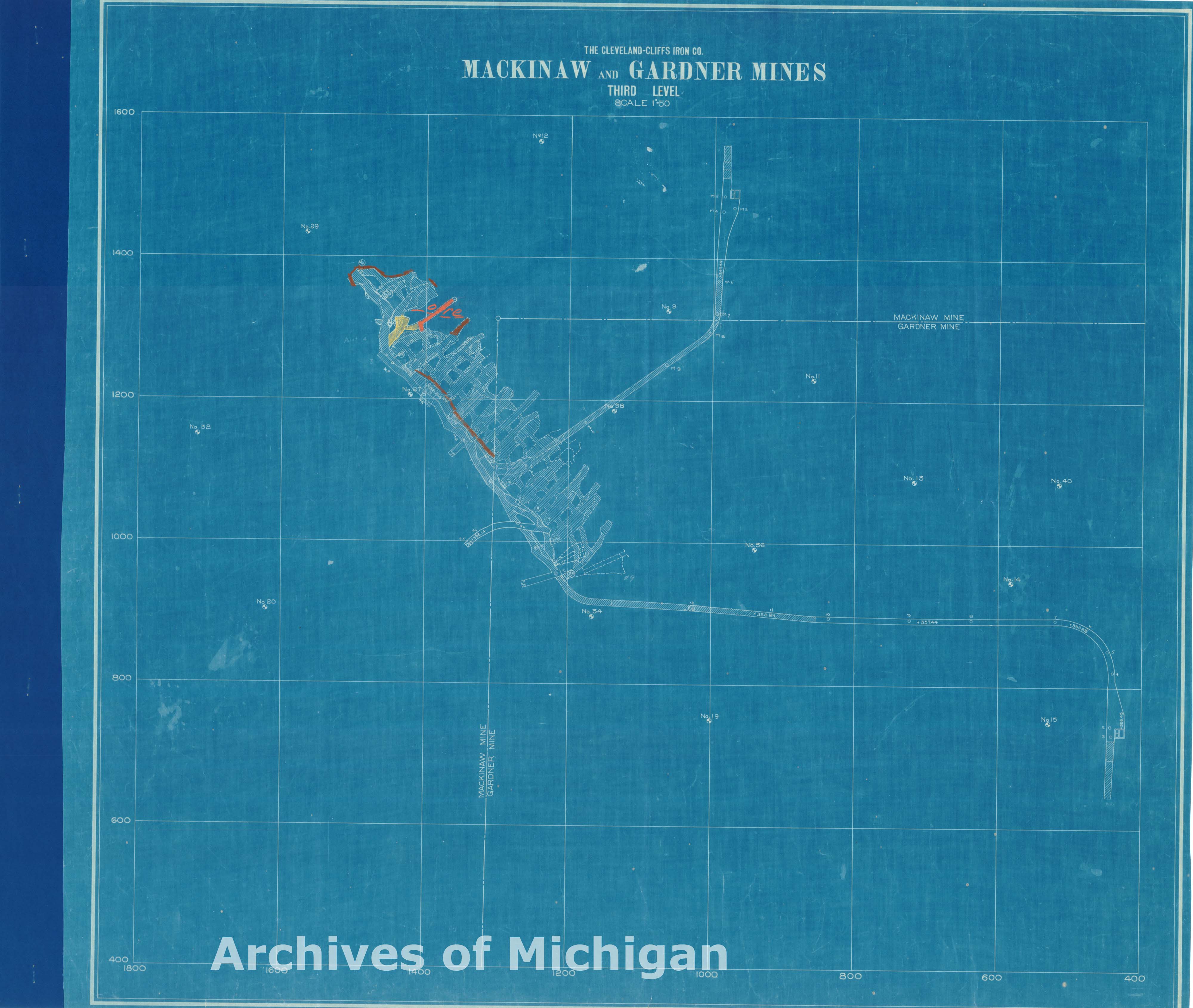
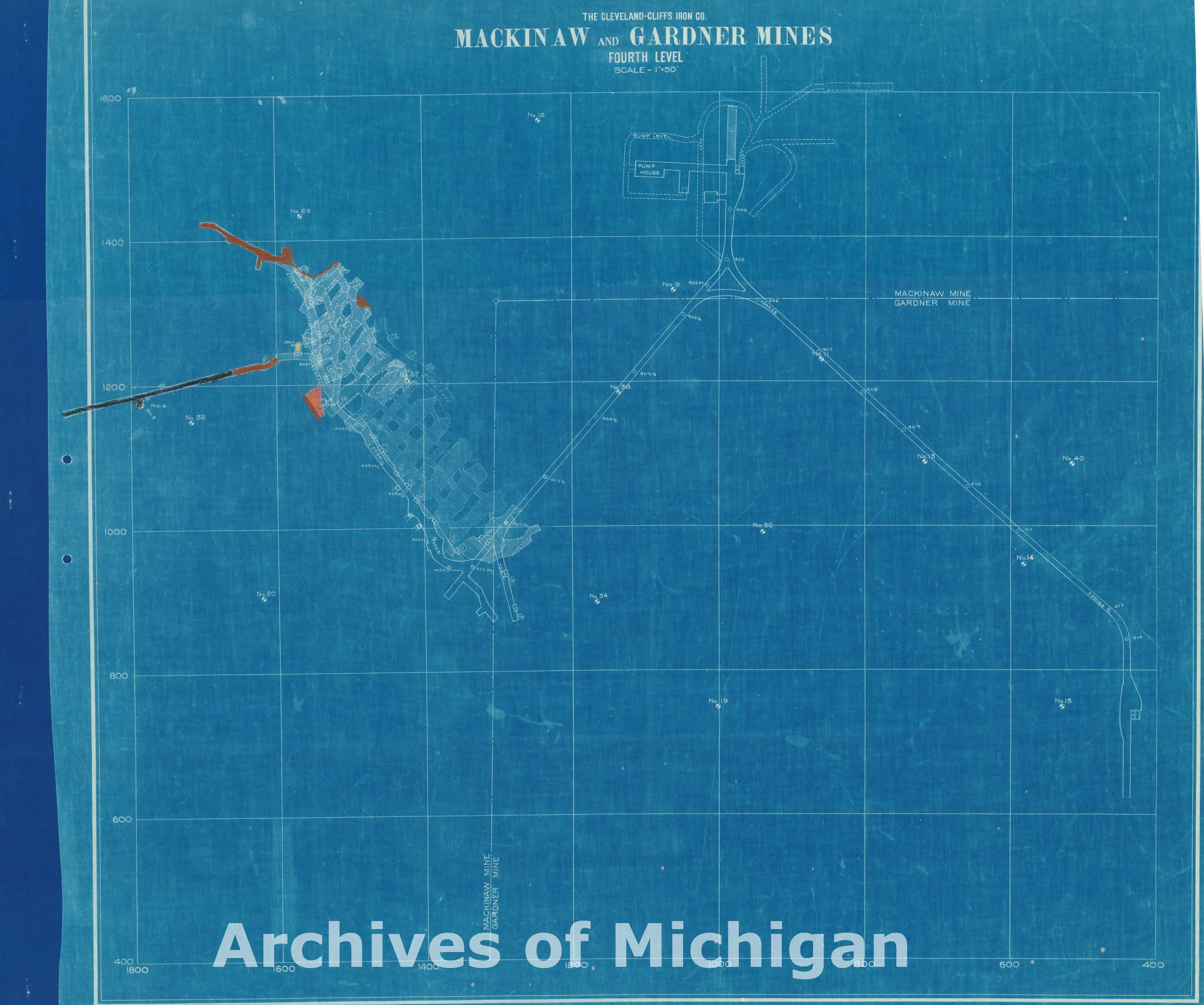
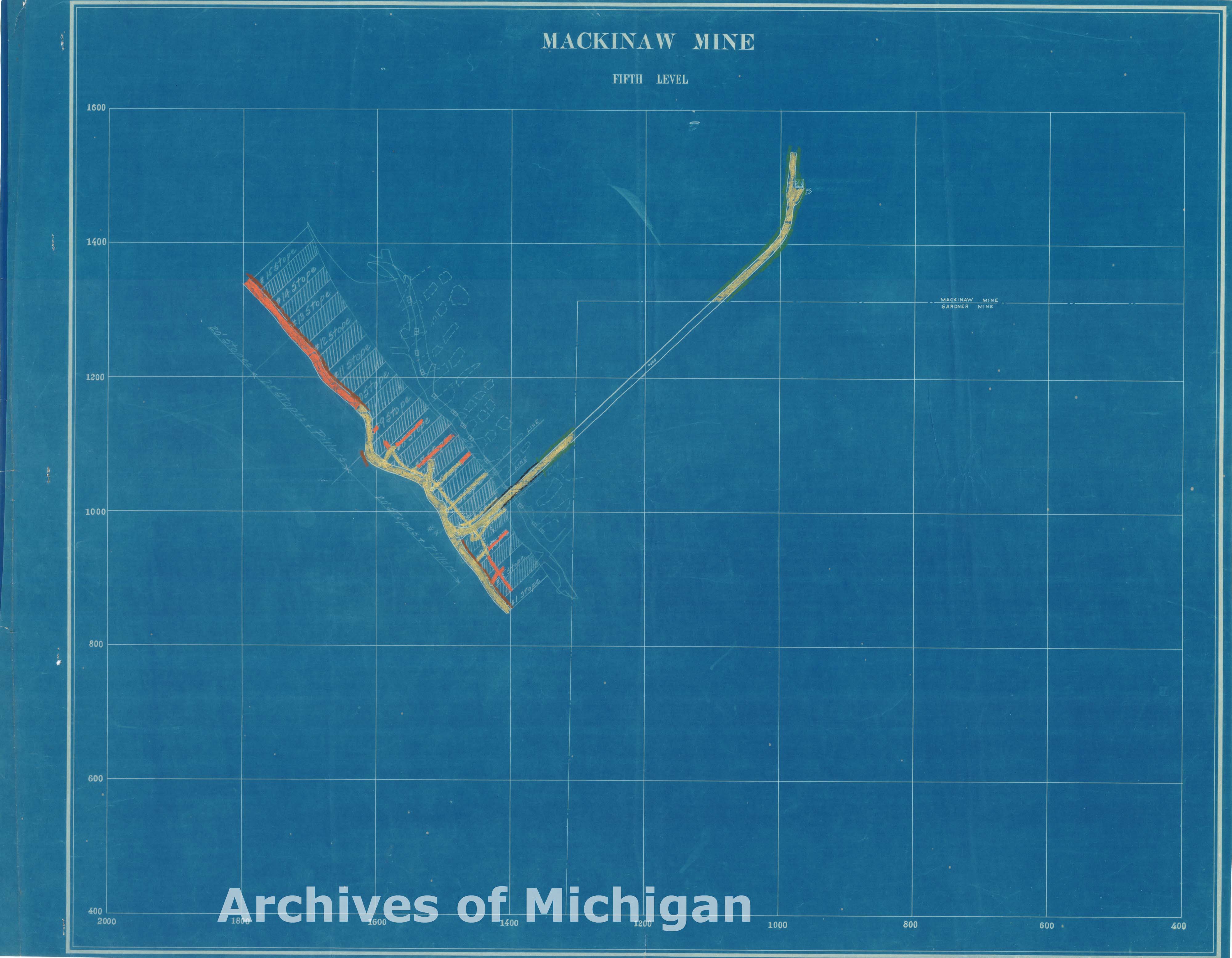
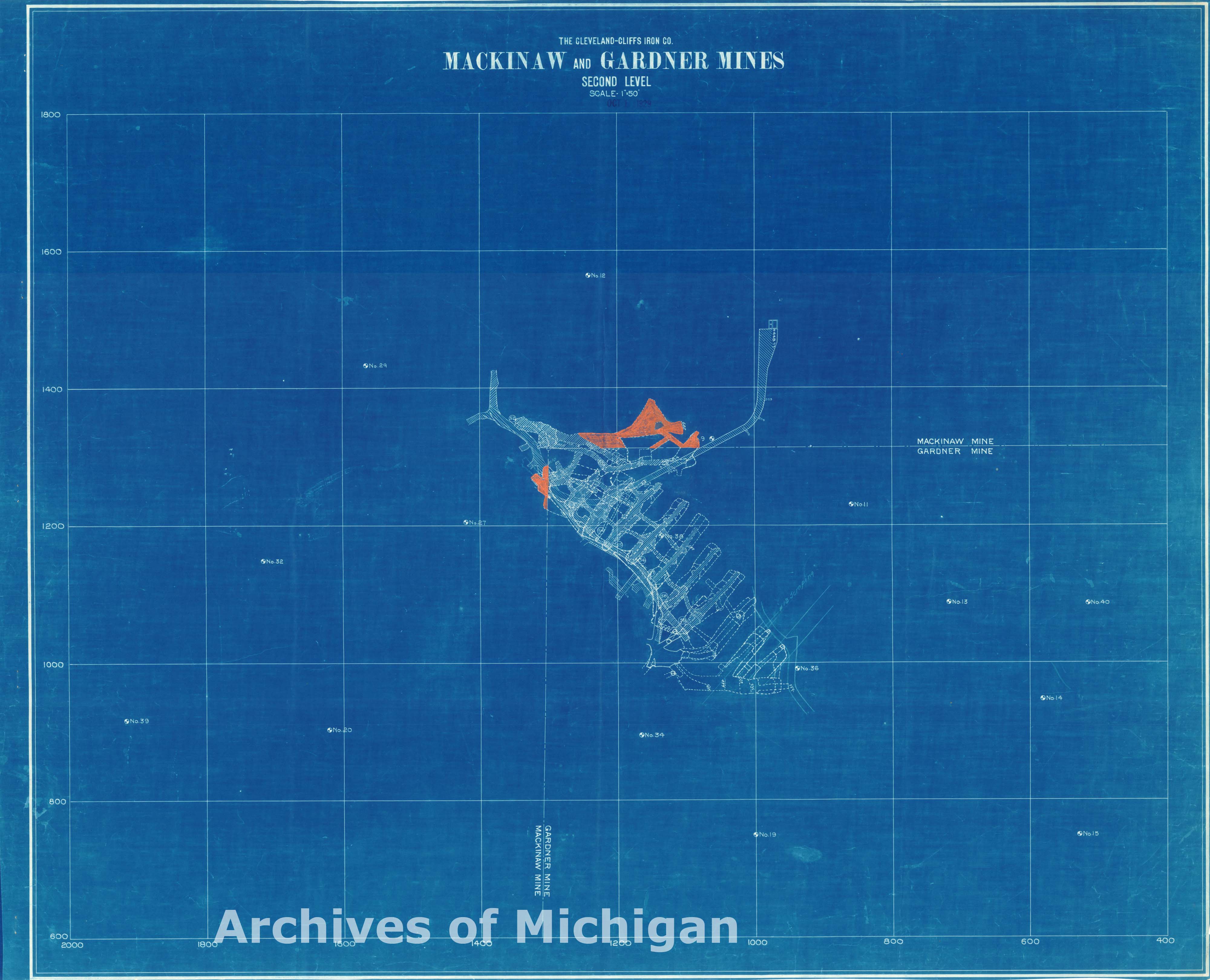
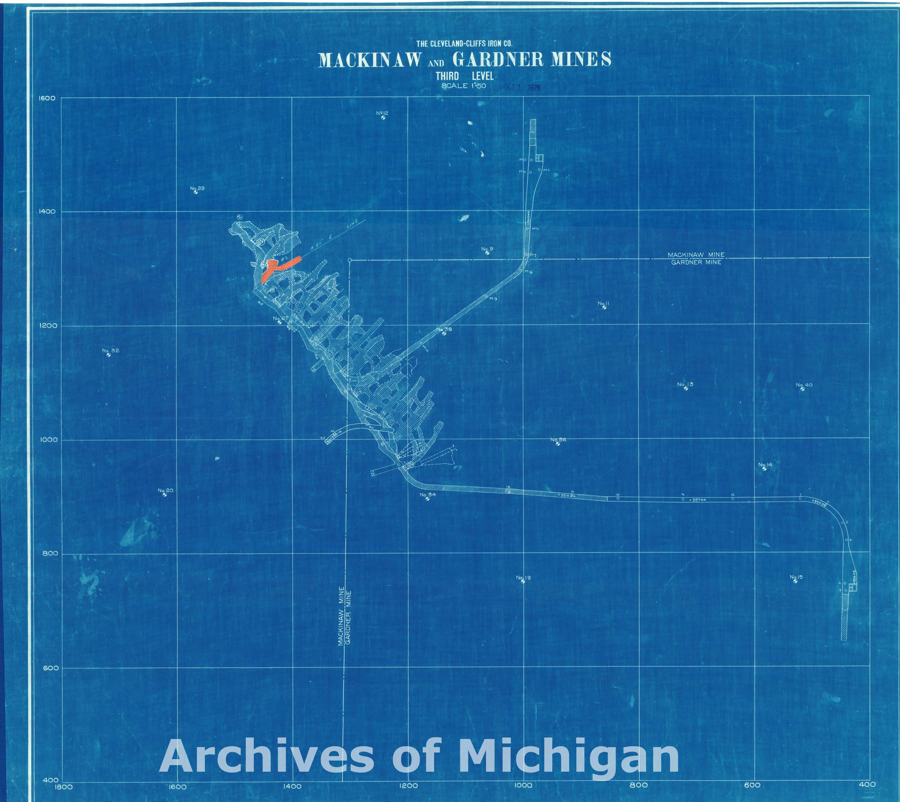
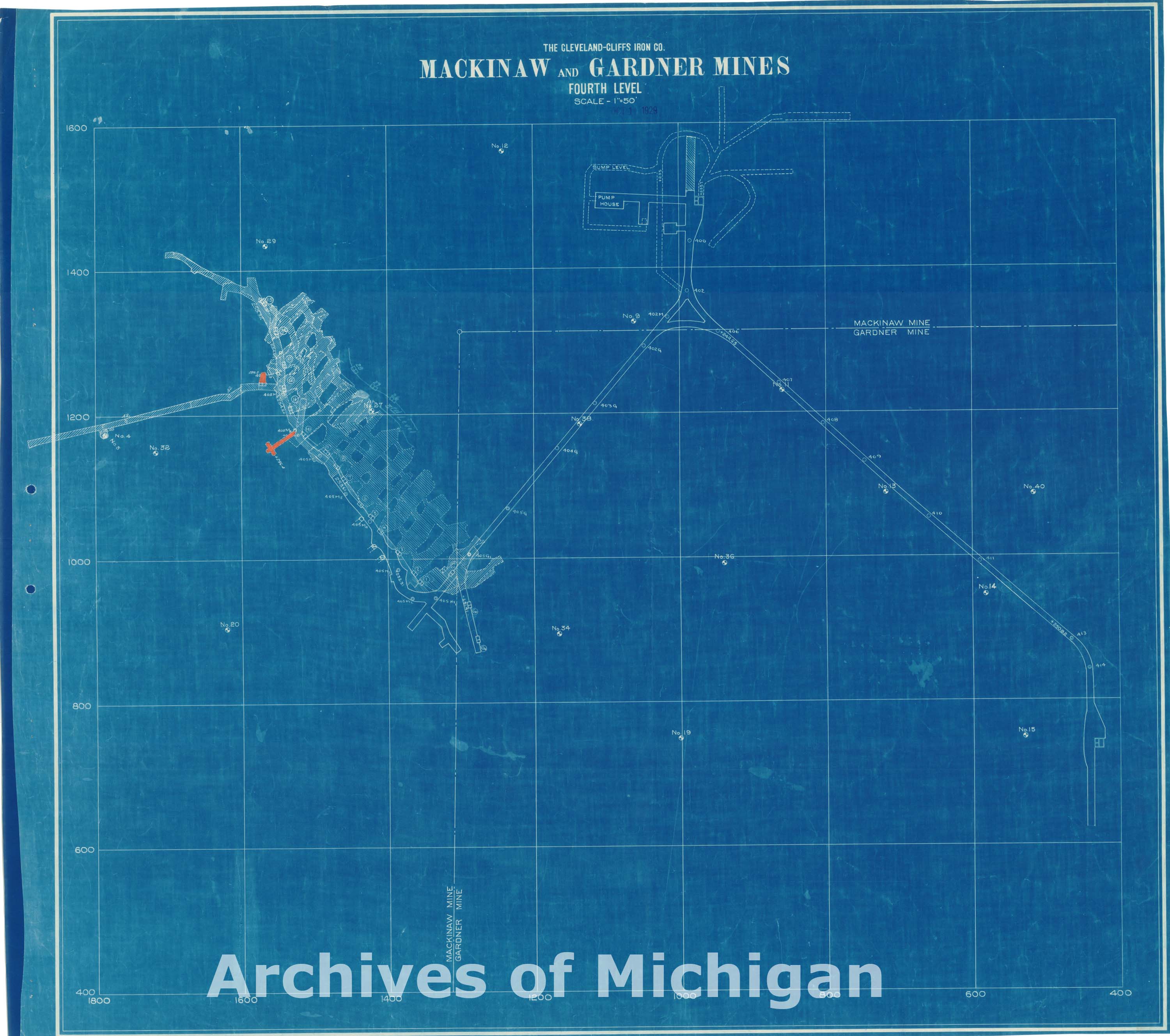
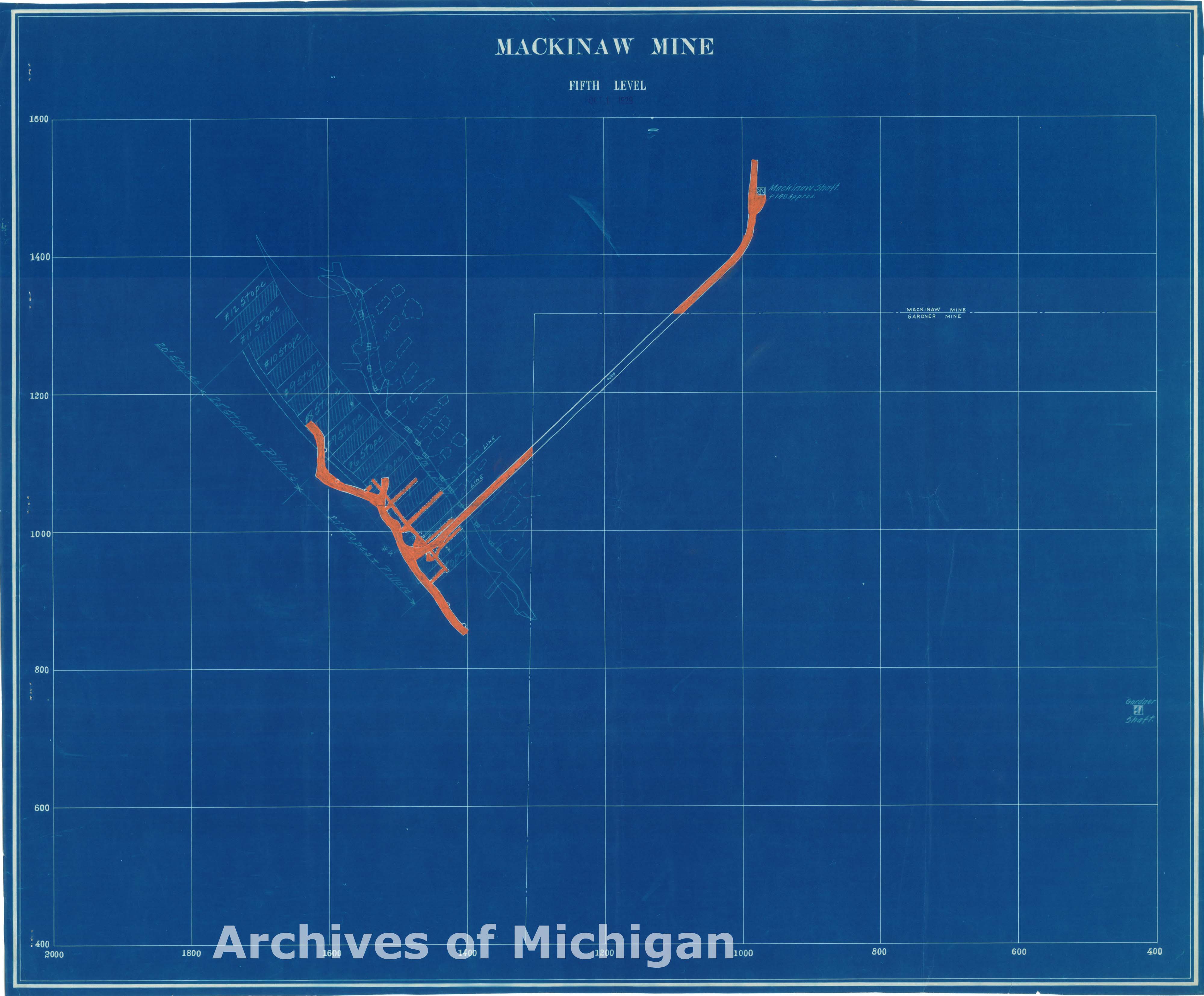
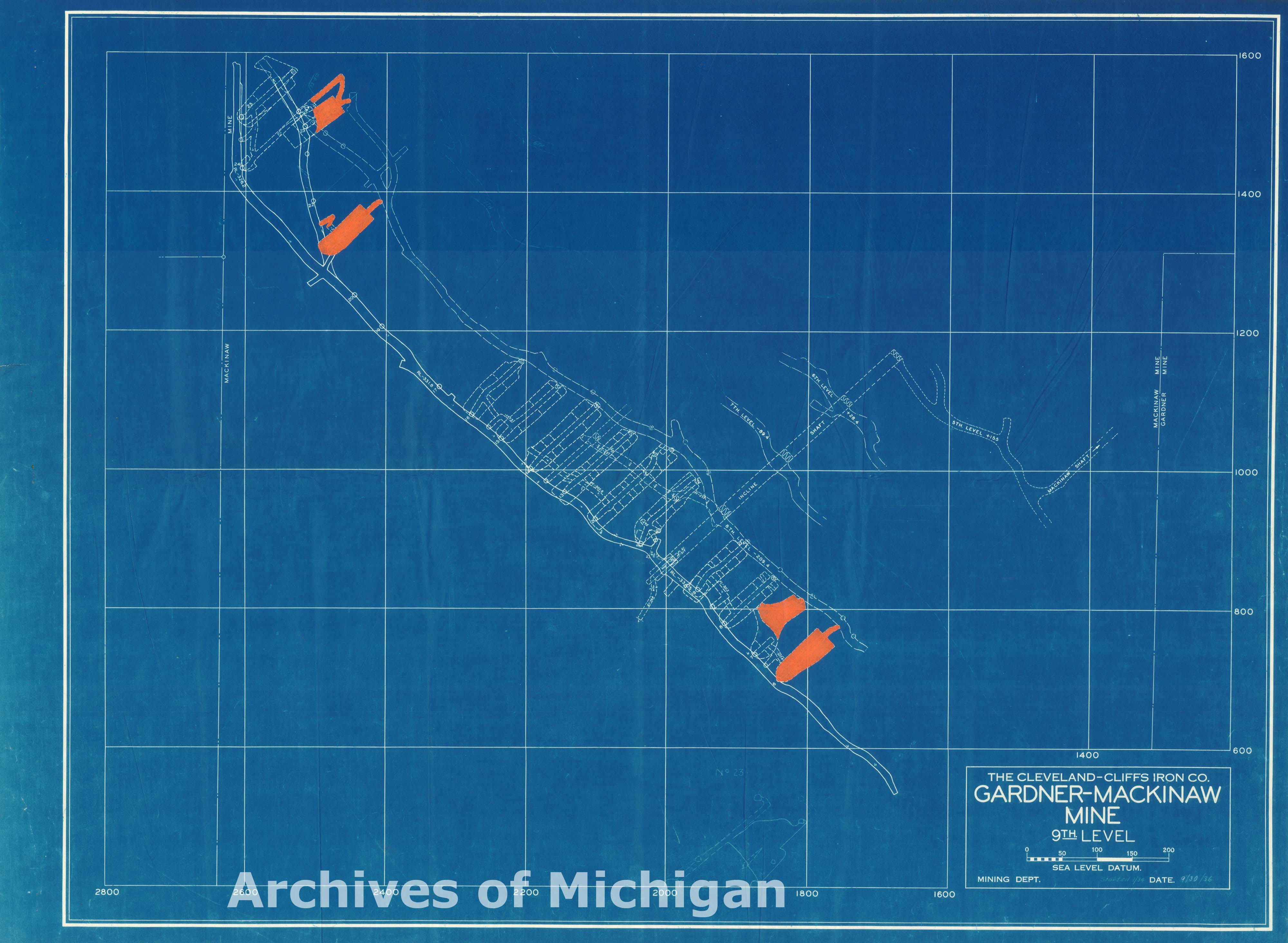
Mackinaw and Gardner Mines 1st through 5th Levels (5 maps) 1929 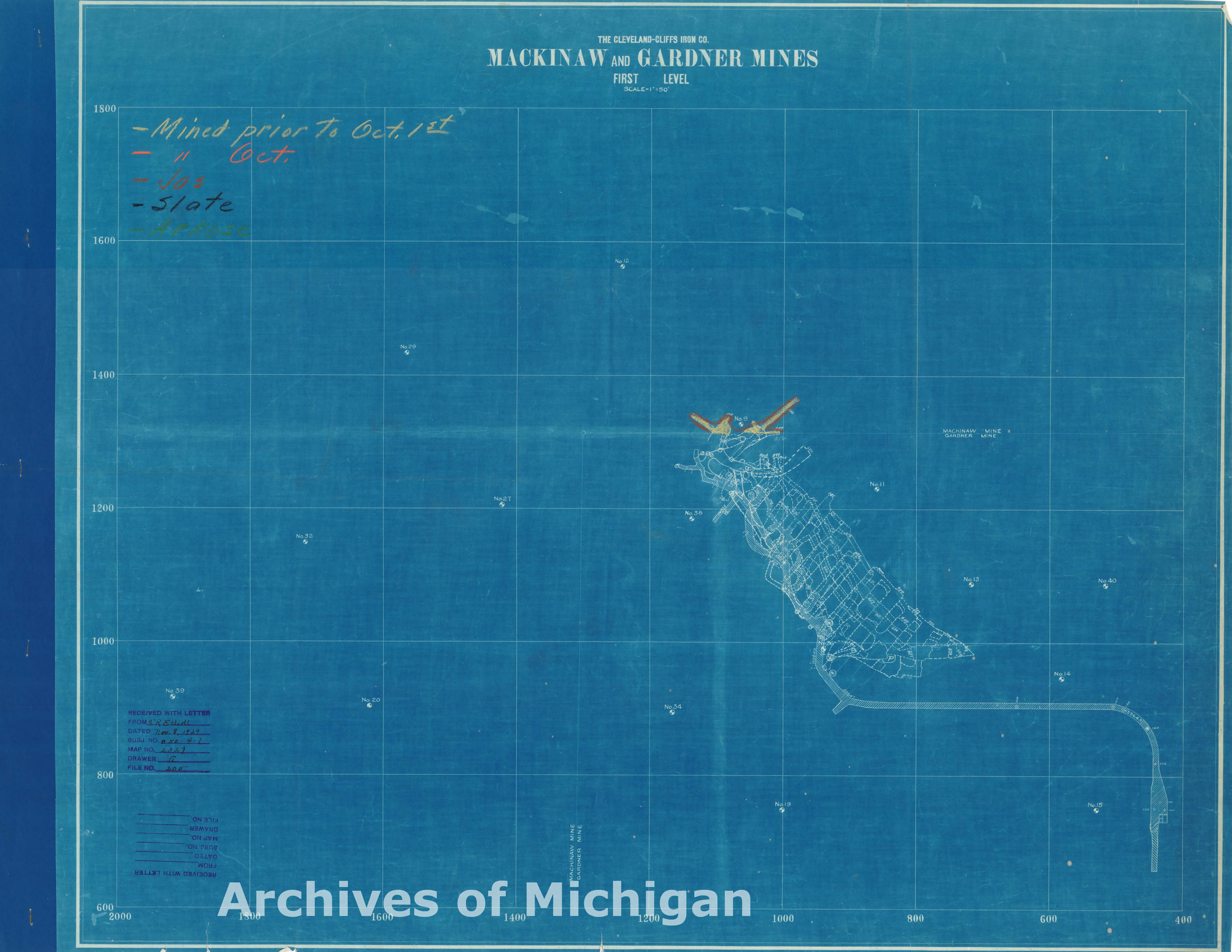
|
||||||||||||||||
|
Mackinaw and Gardner Mines 1st through 5th Levels (5 maps) 1929 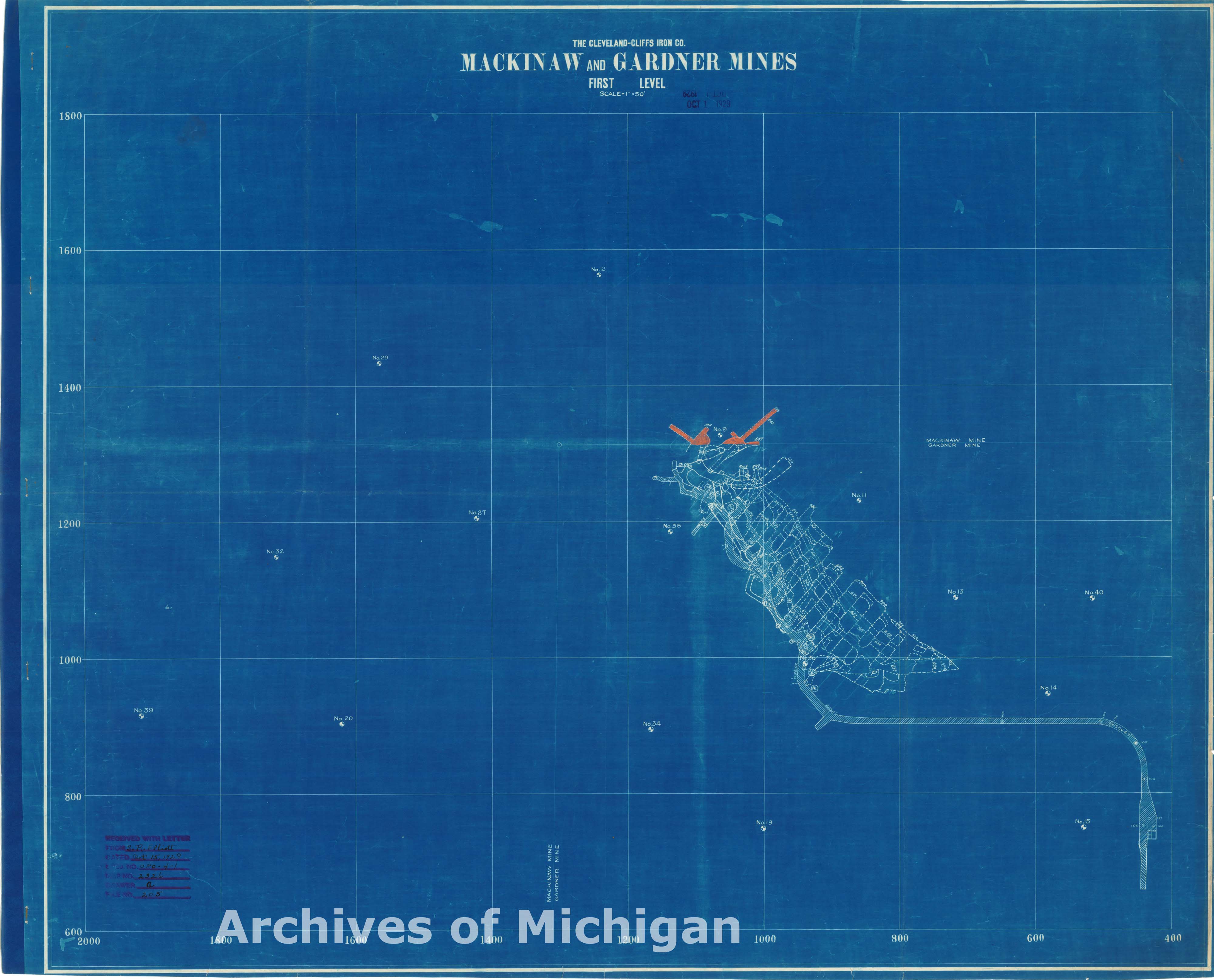
|
||||||||||||||||
|
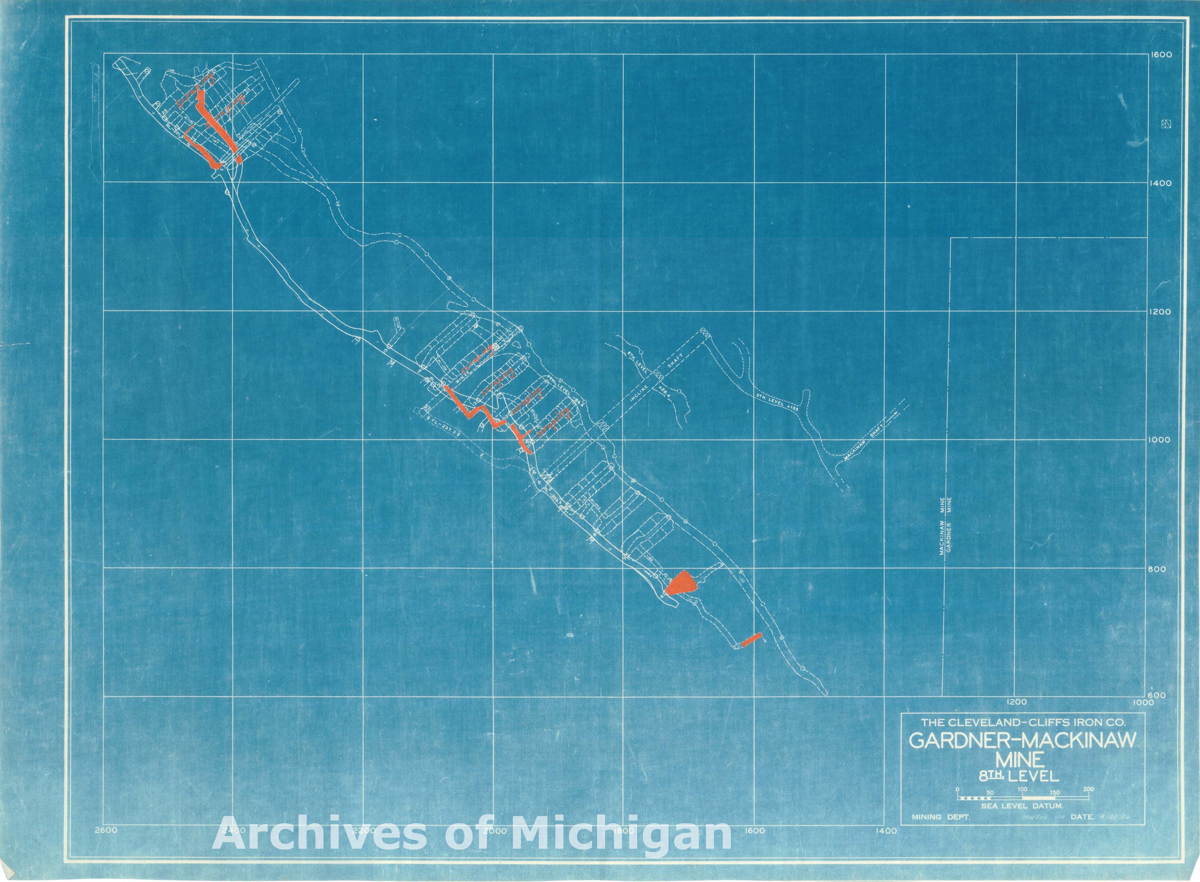
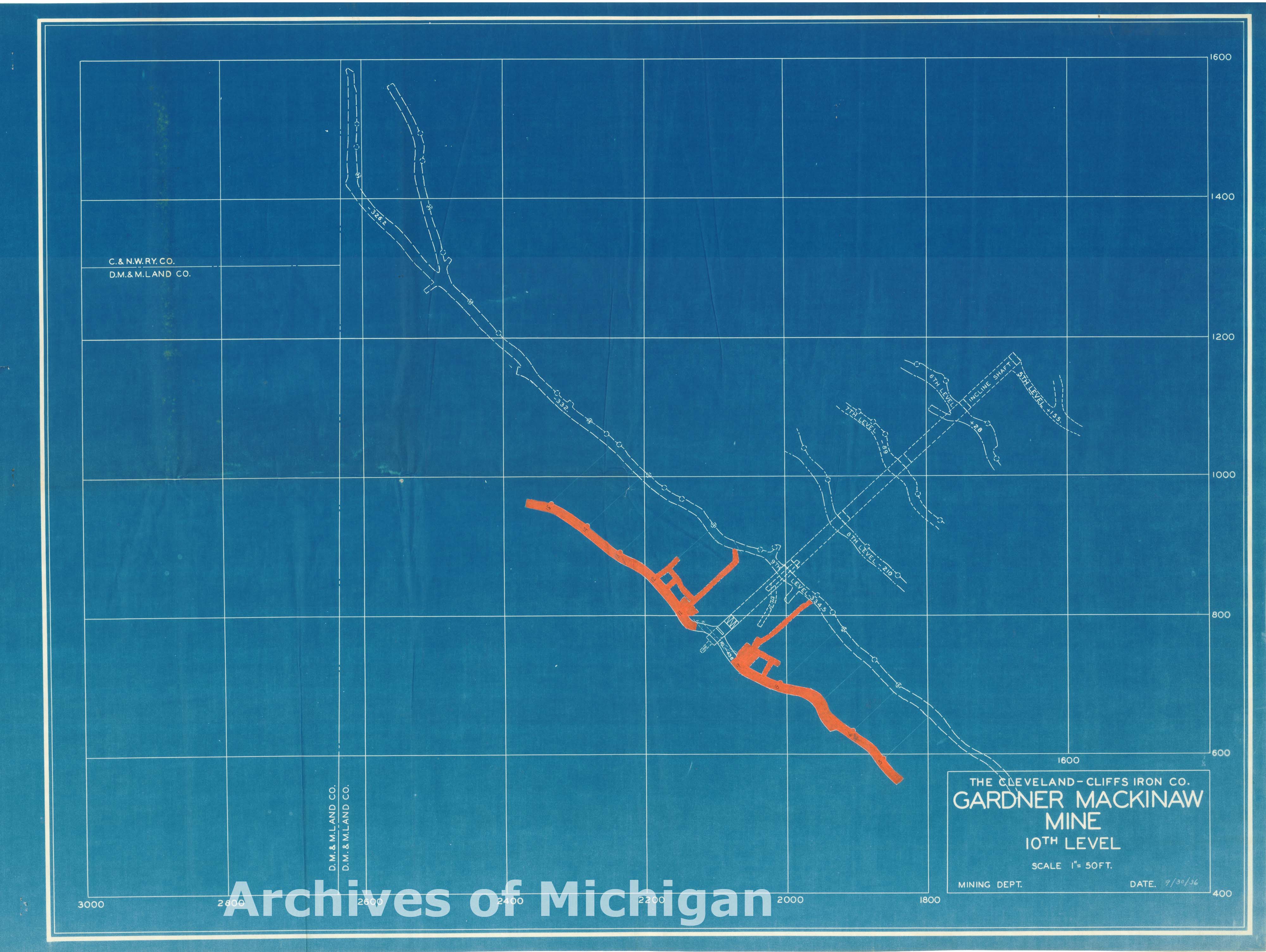
Mackinaw and Gardner Mines 7th-10th Levels (4 maps) 1936 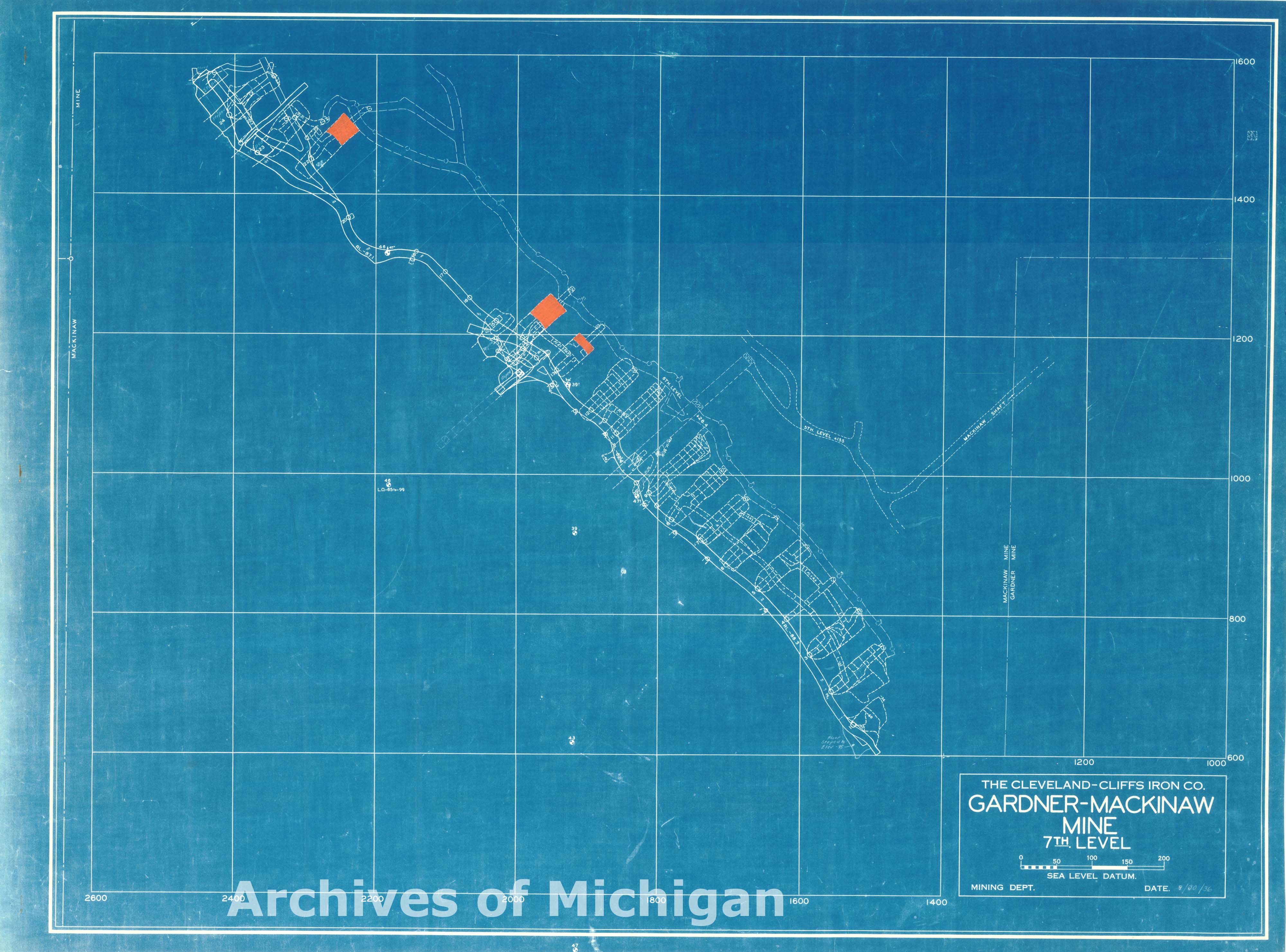
|
||||||||||||||||
|
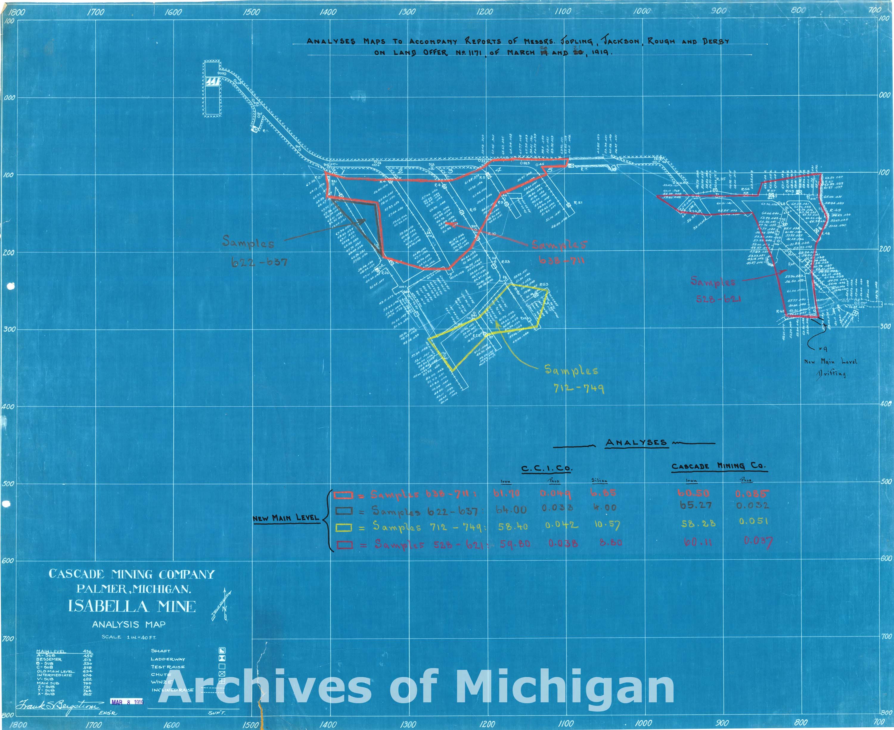
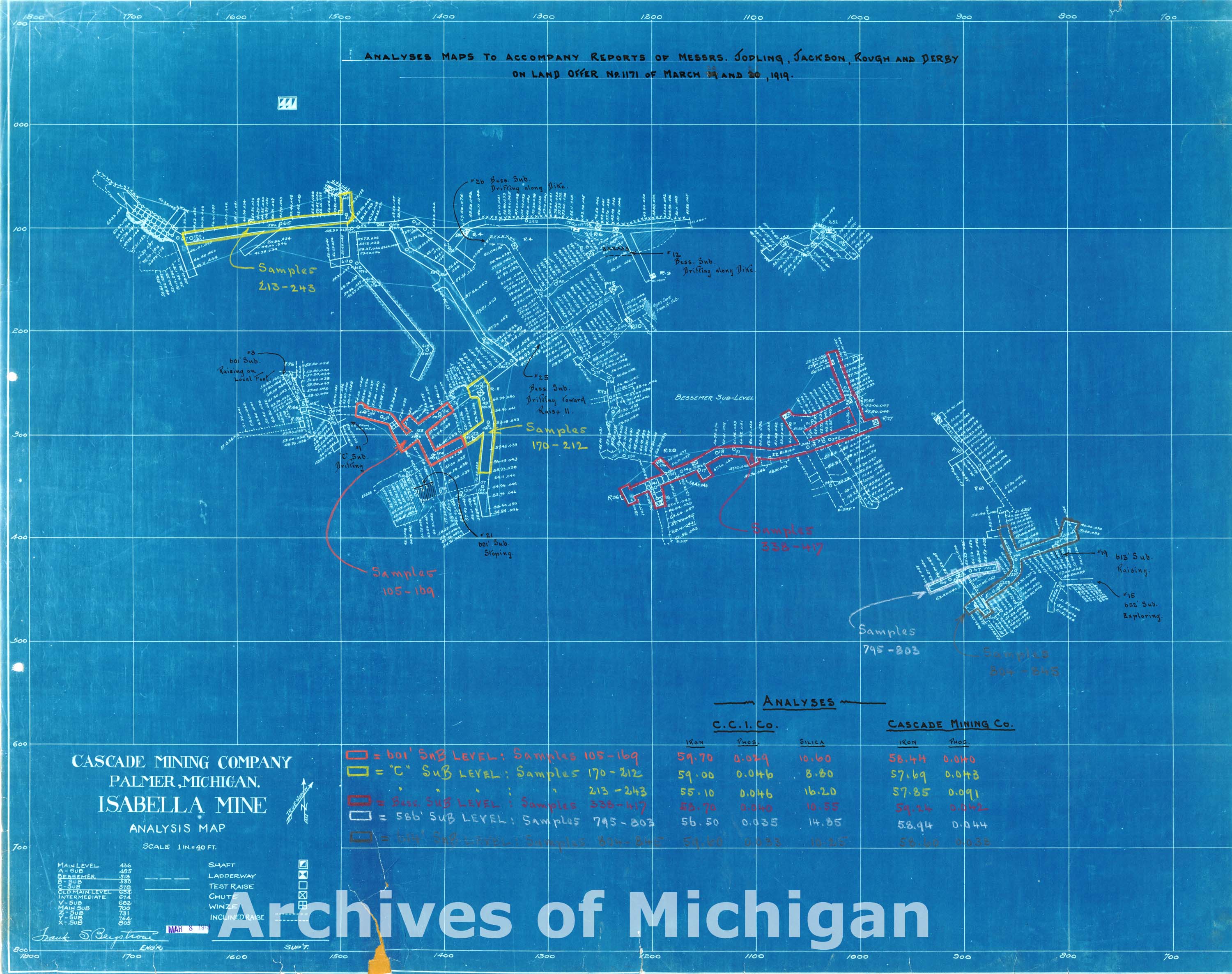
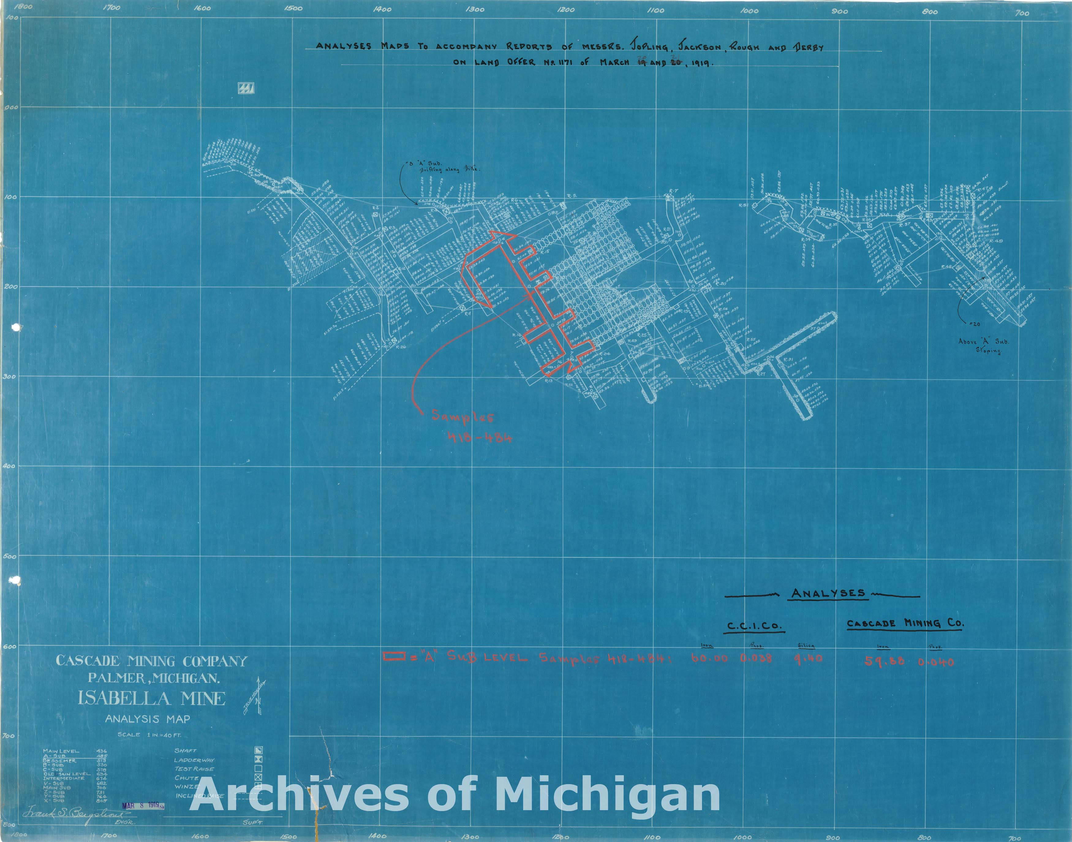
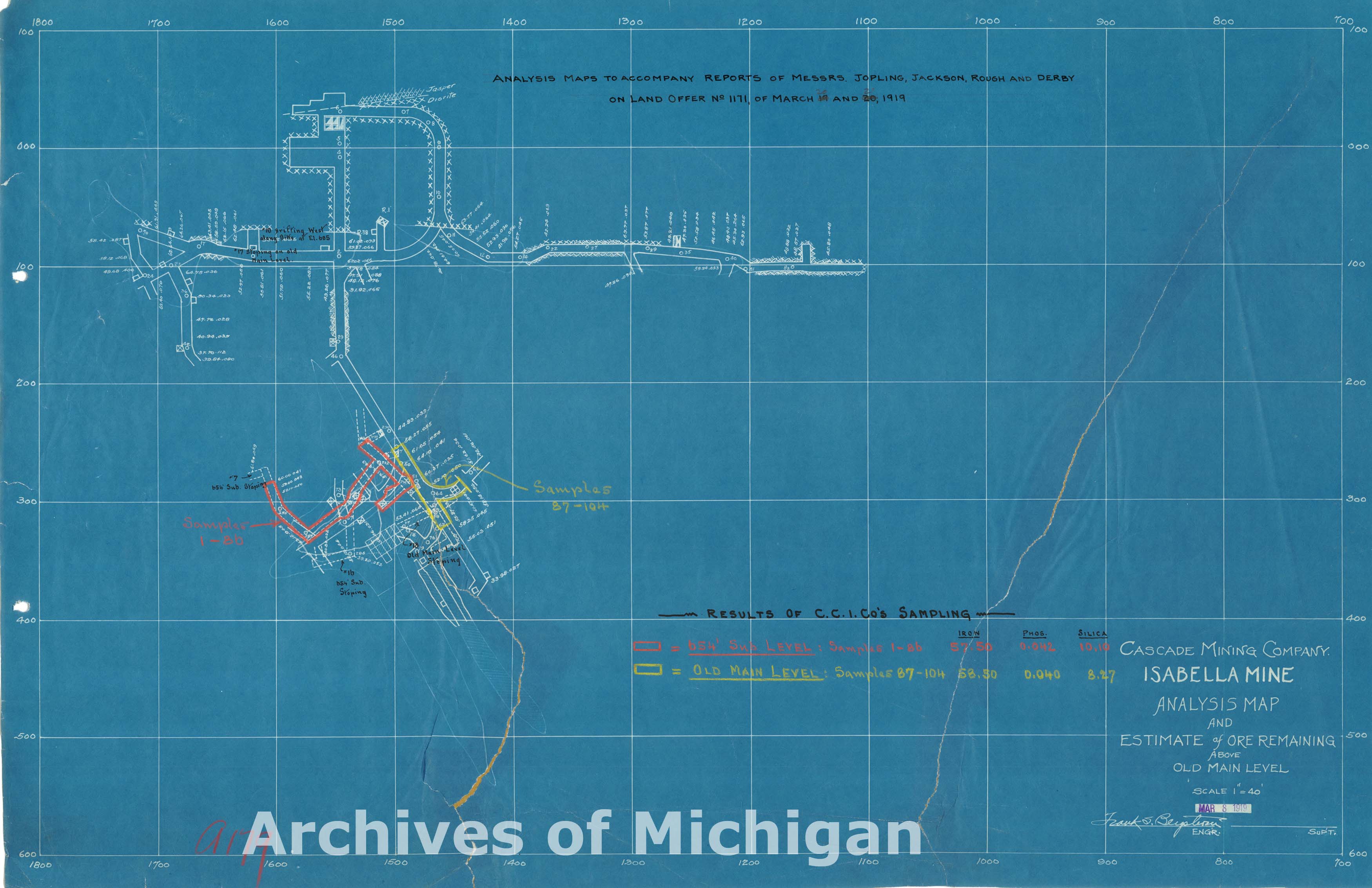
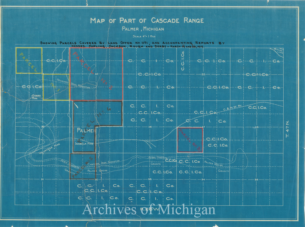
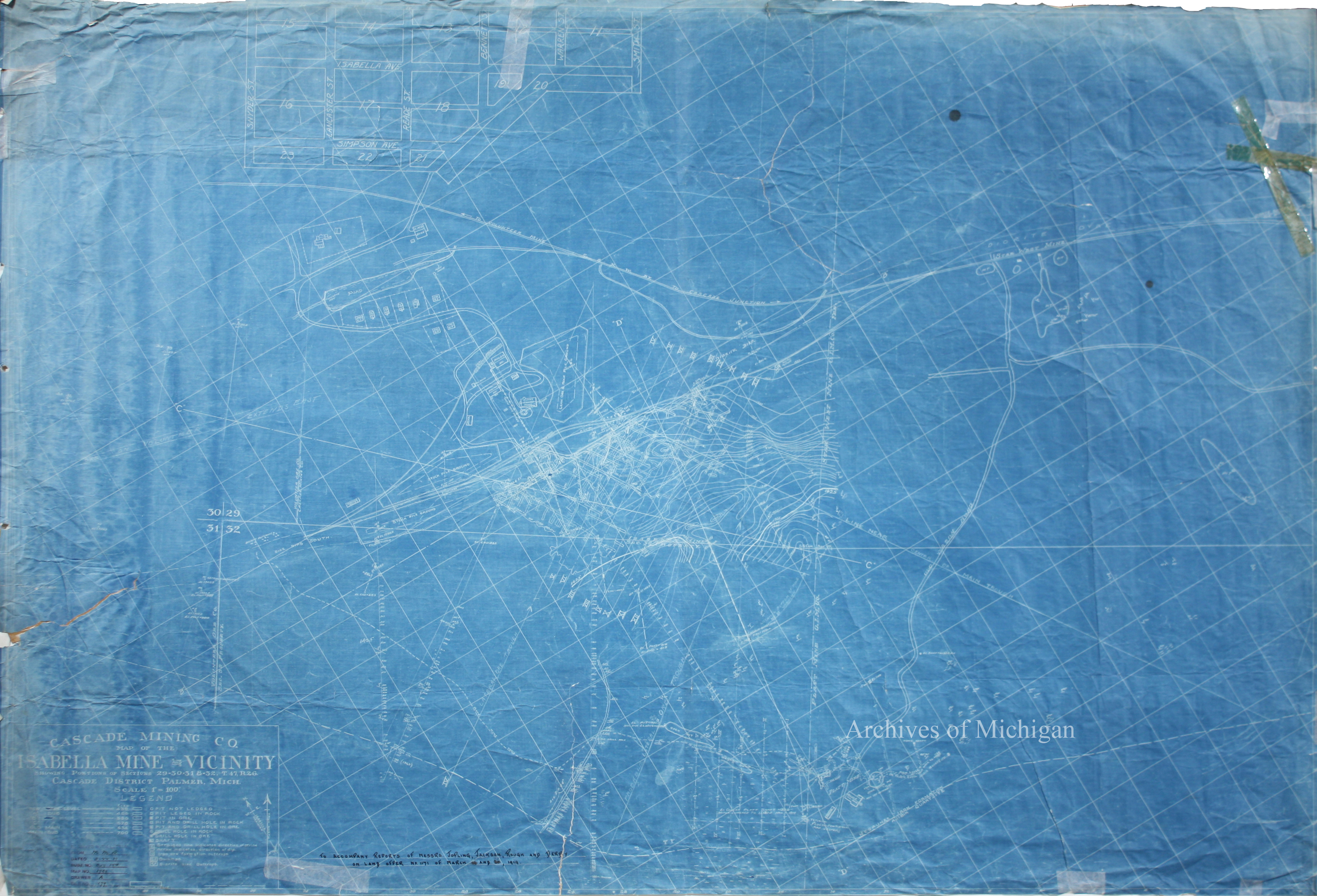
Plan of the Isabella Mine and Vicinity, Richmond Township 19 (7 Maps) 1919 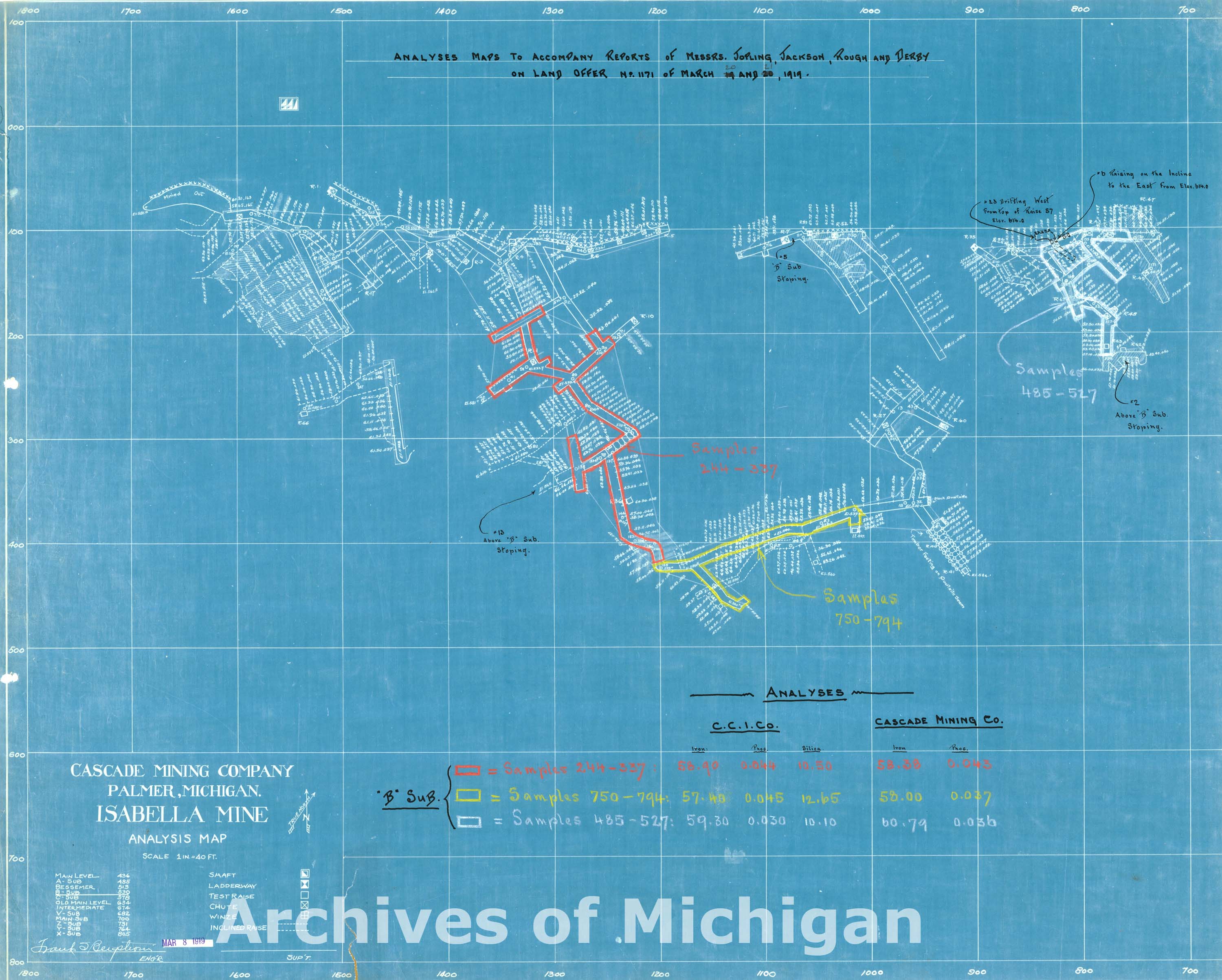
|
||||||||||||||||
|
Helmer and North Star Mines Surface 1920
|
||||||||||||||||
|
Helmer Mine Underground 1920 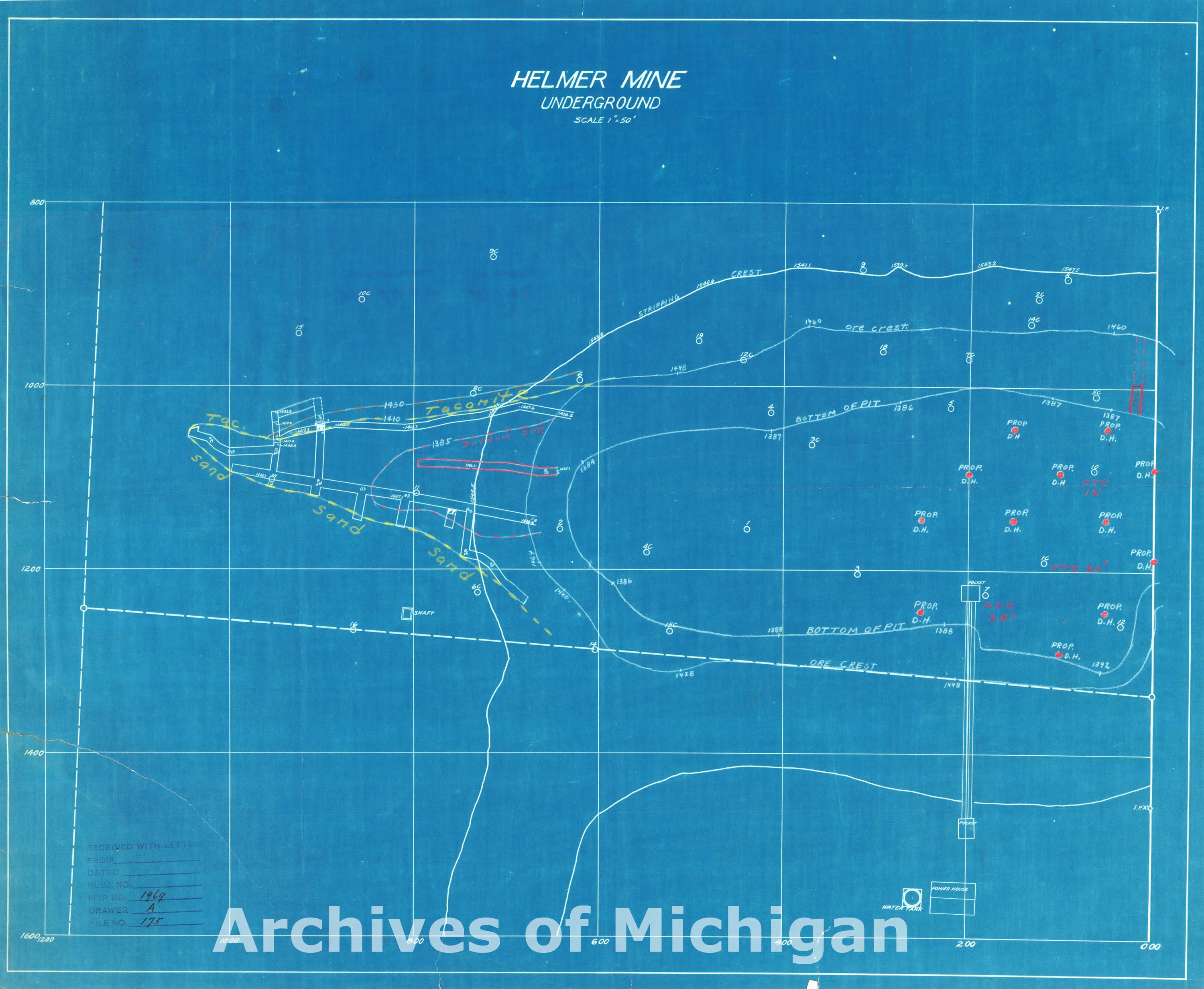
|
||||||||||||||||
|
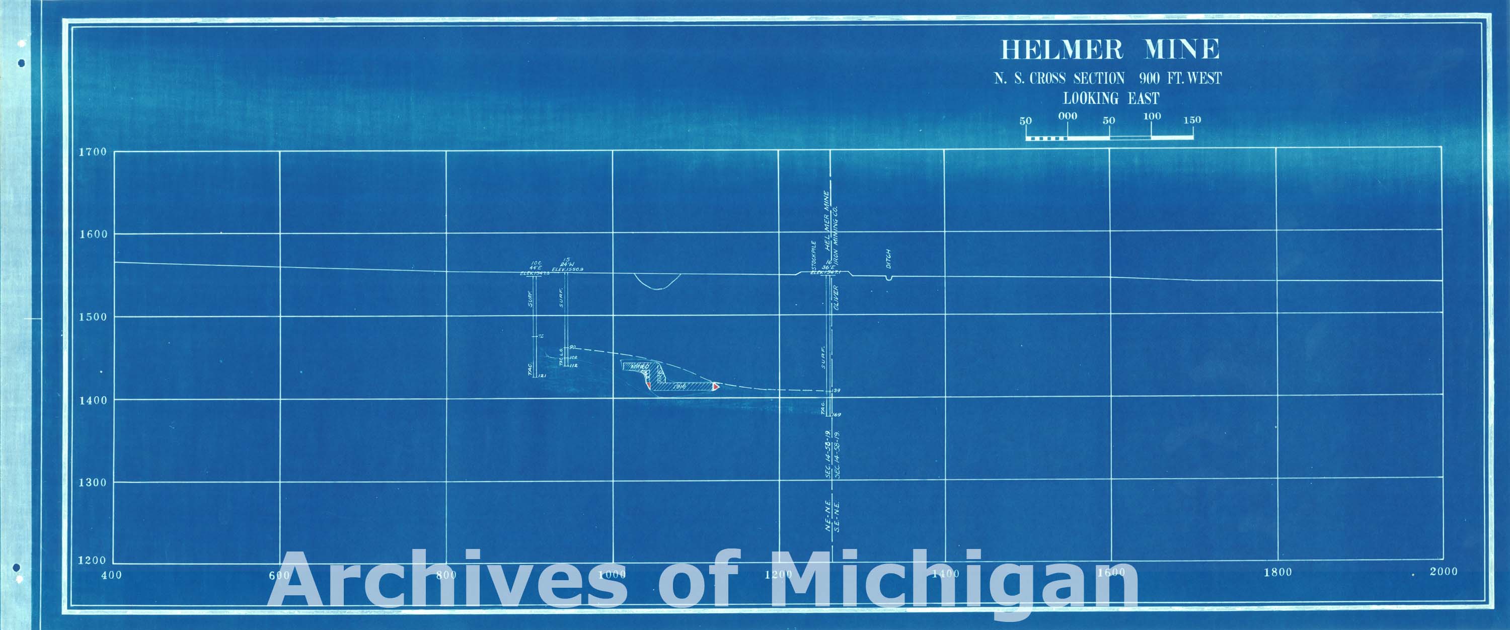
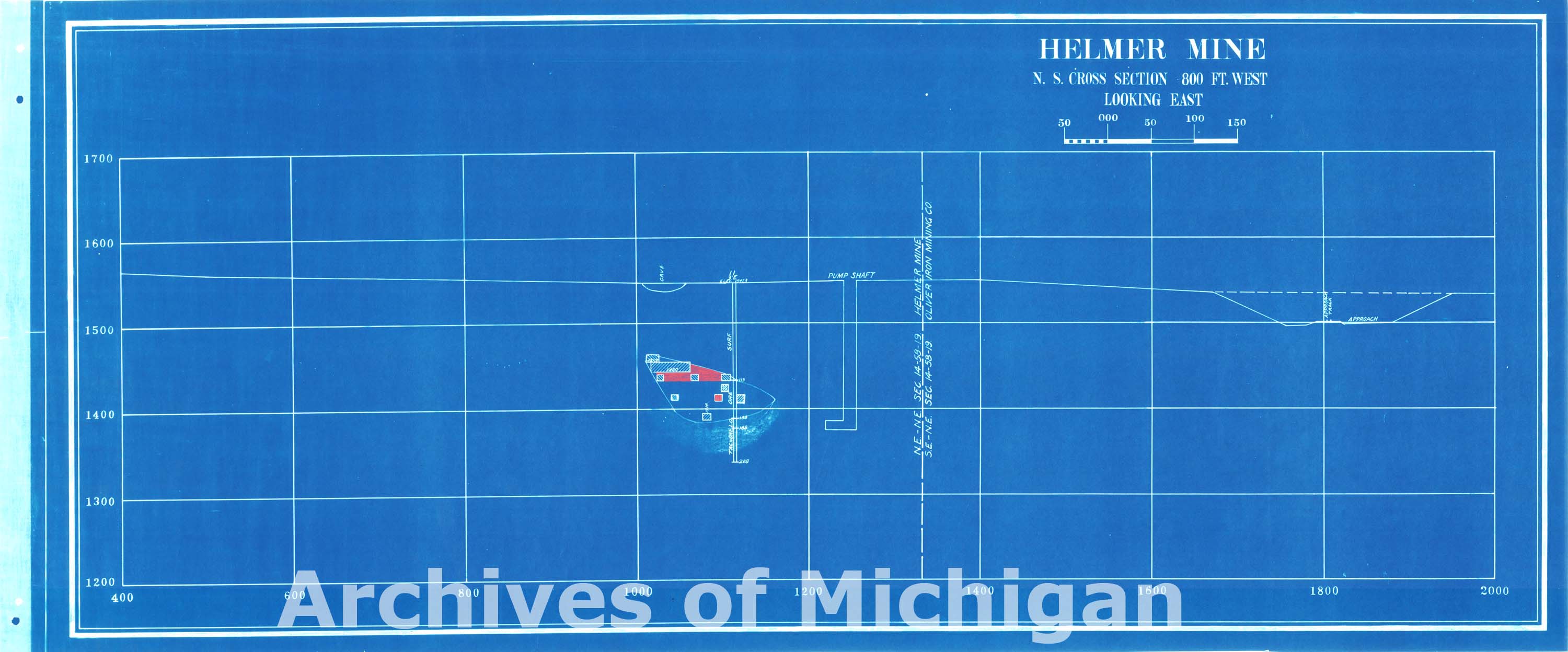
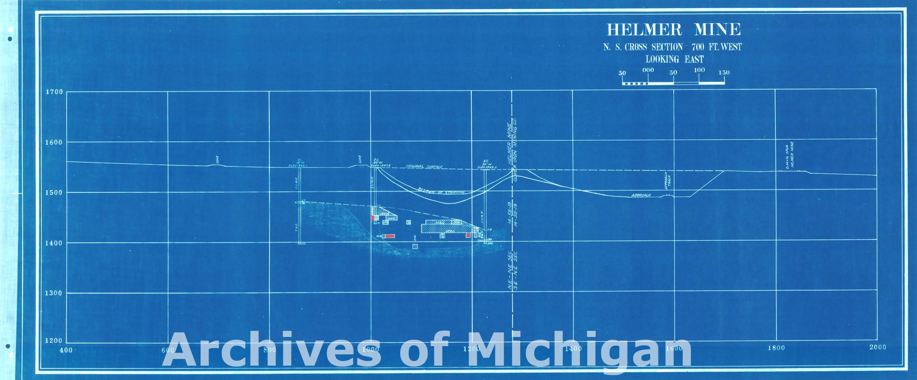
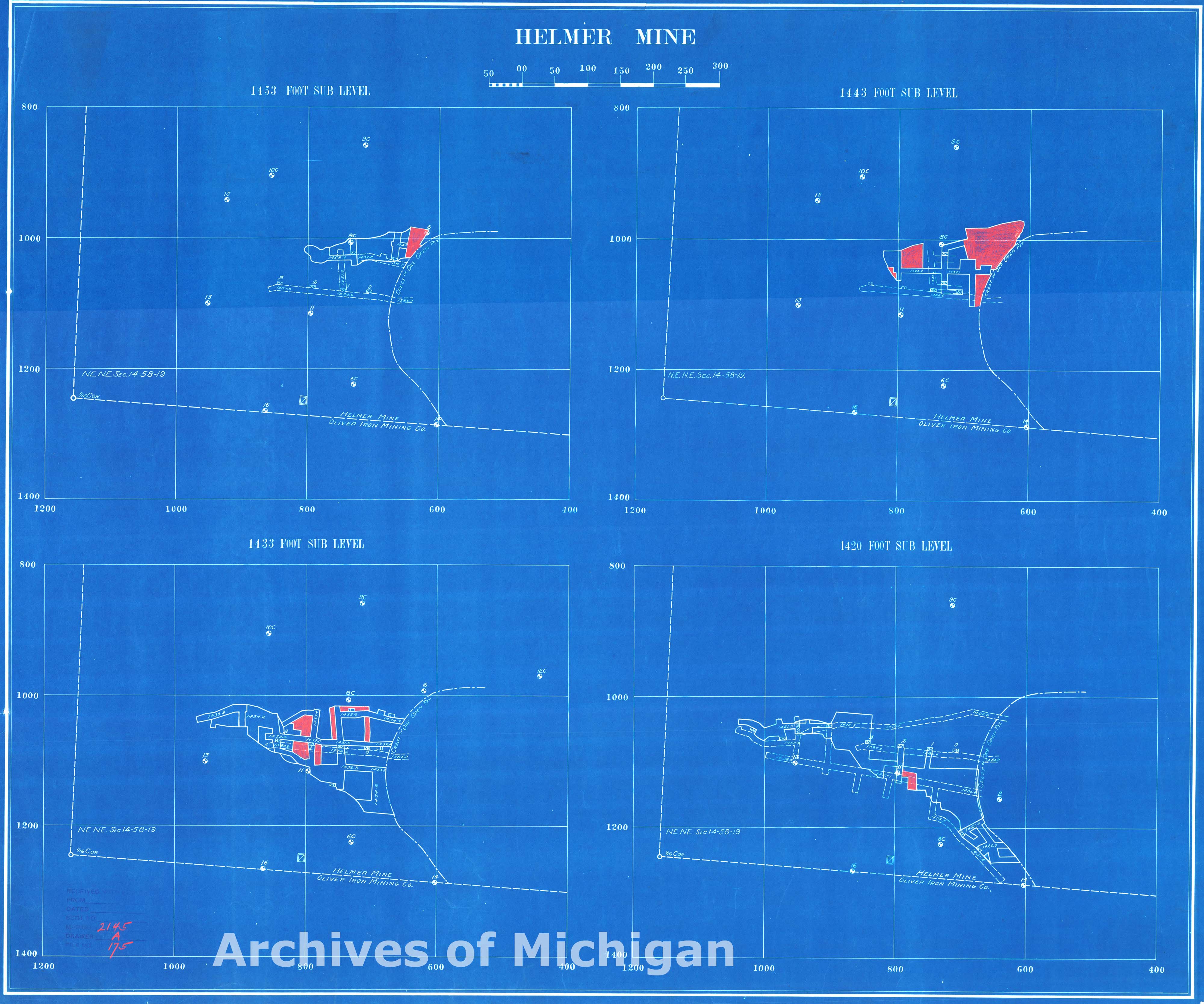
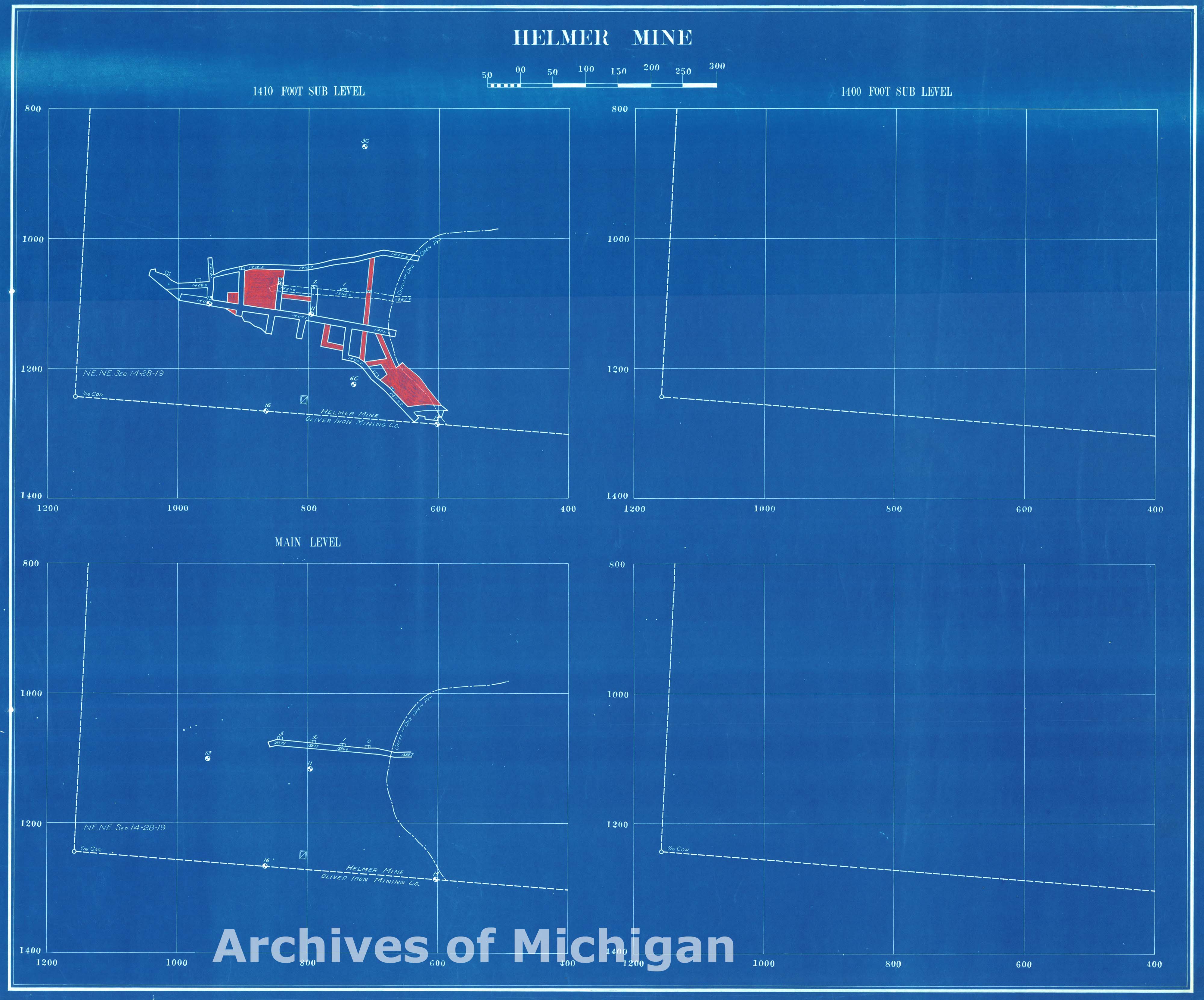
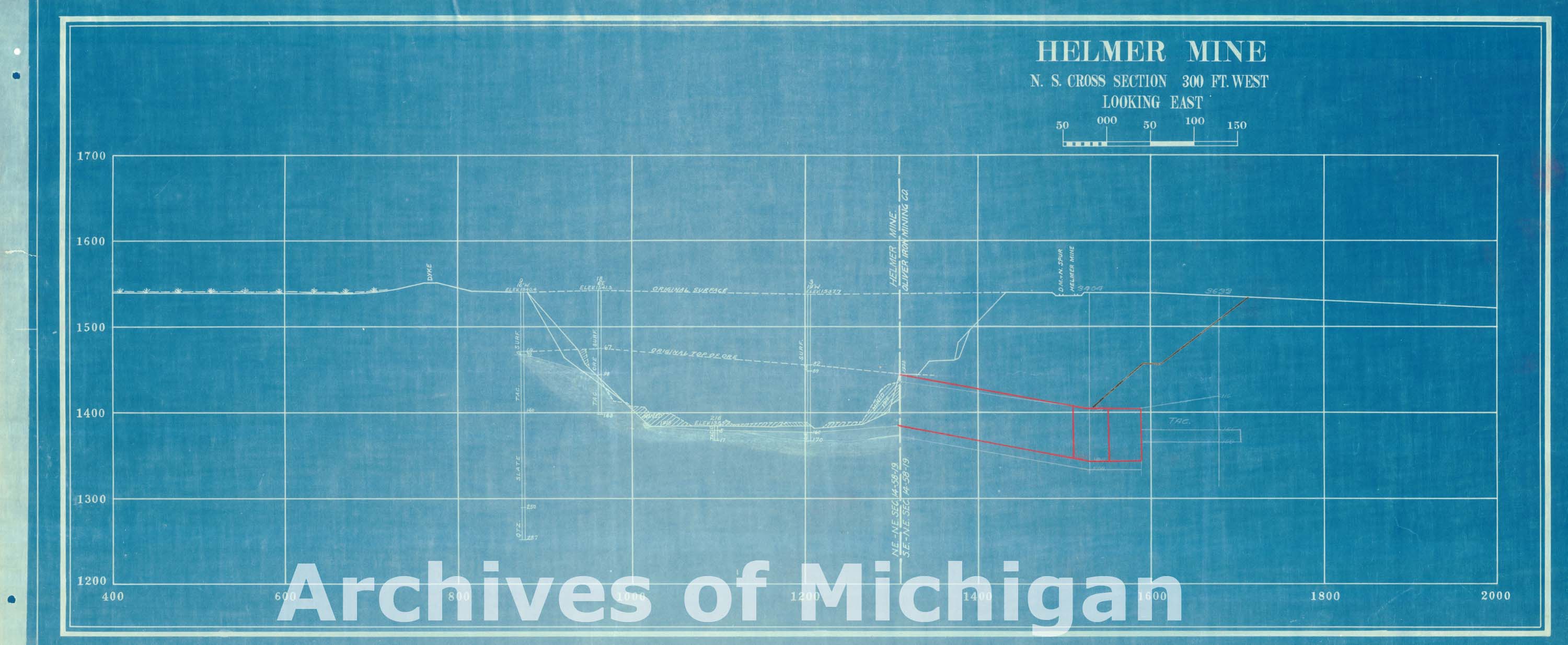
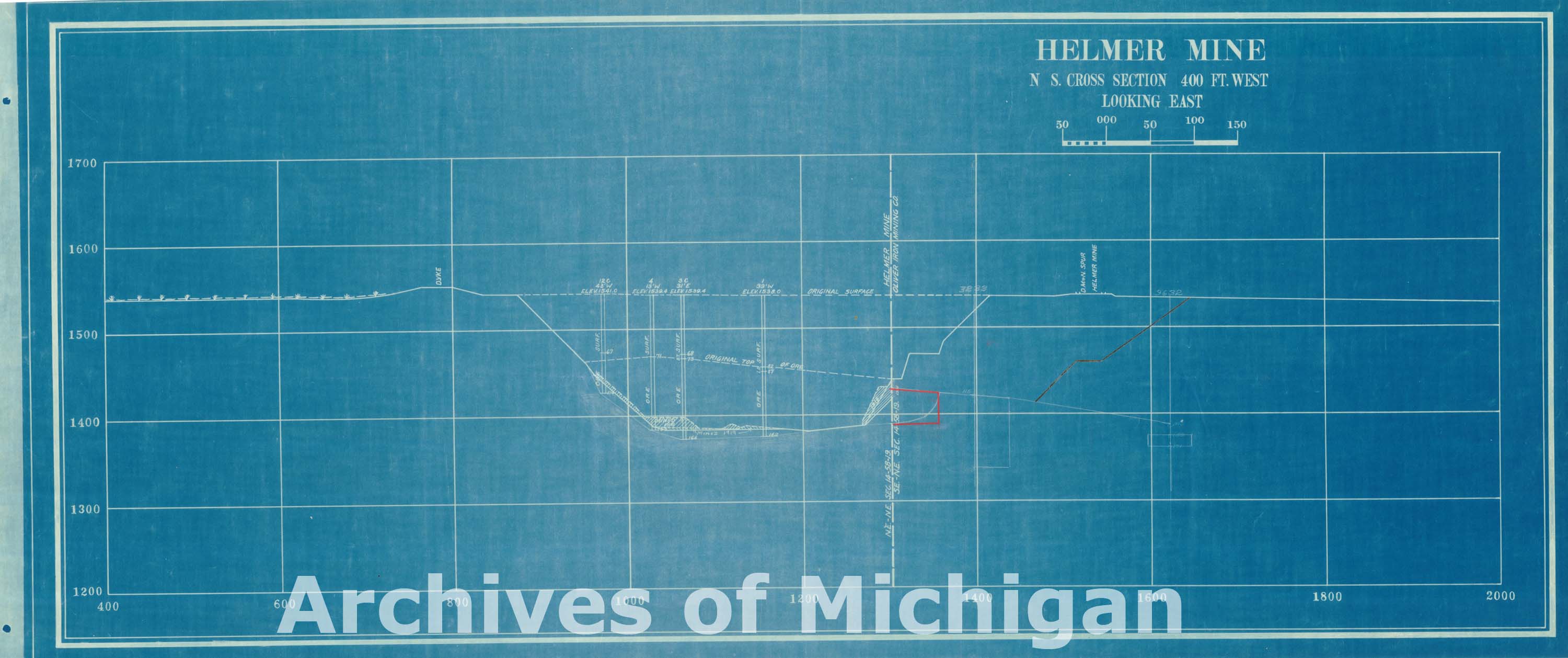
Helmer Mine (6 maps) 1930 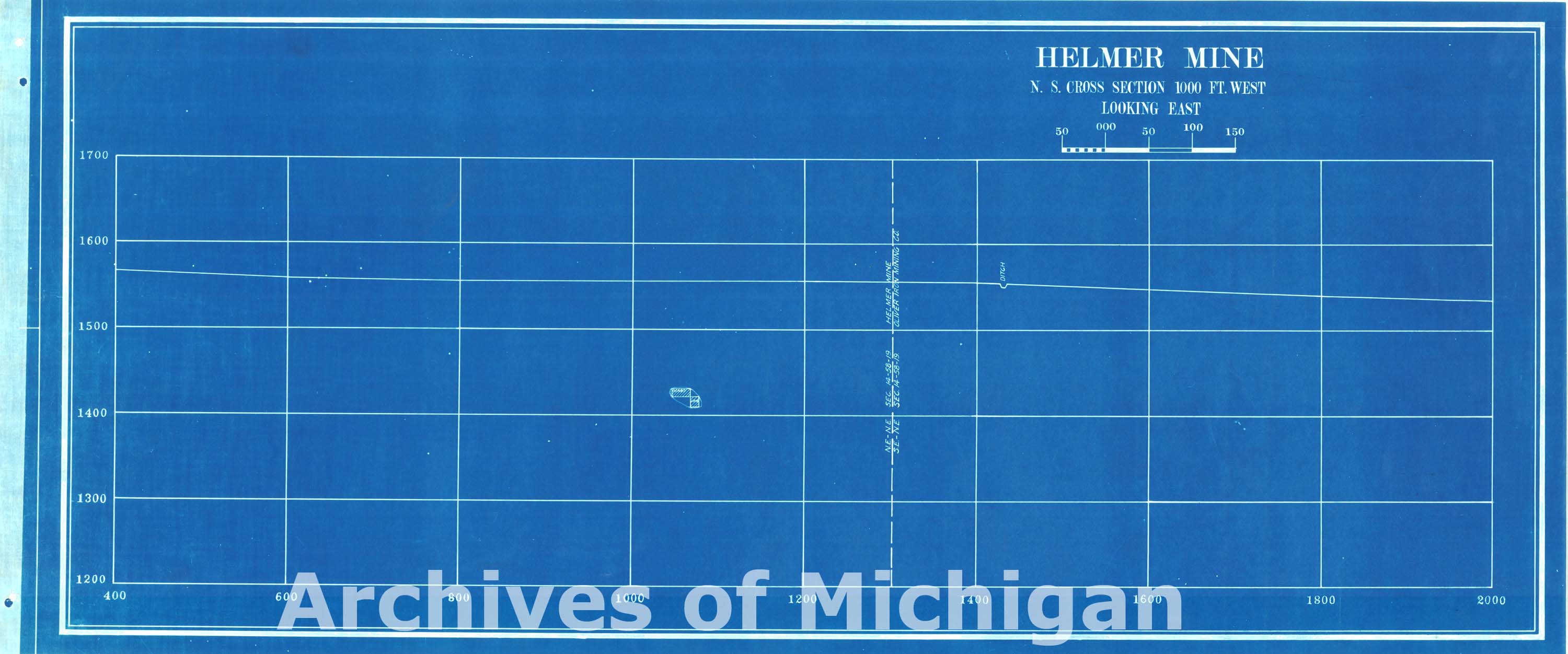
|
||||||||||||||||
|
Holmes Mine 4th Geological Level 34 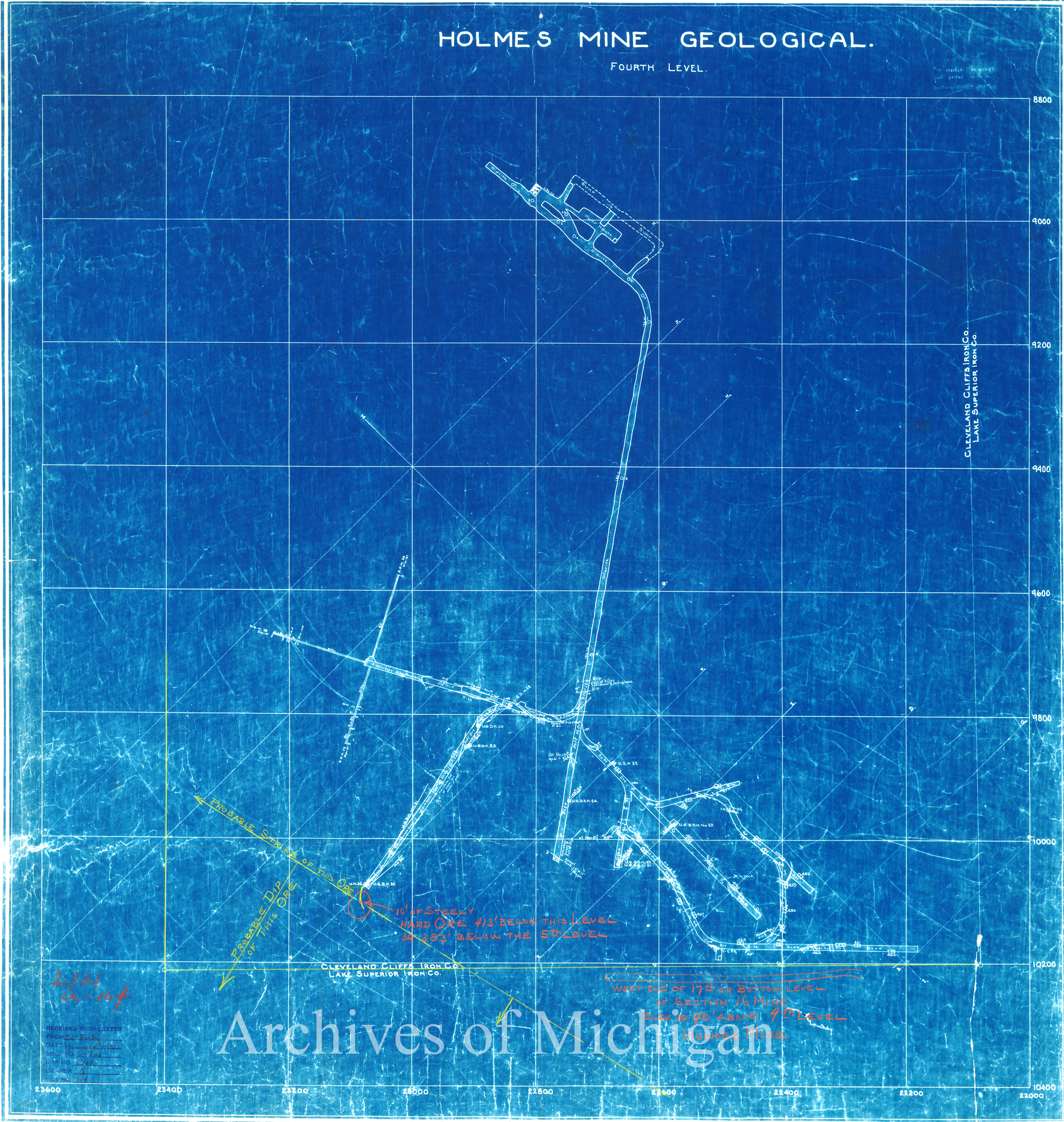
|
||||||||||||||||
|
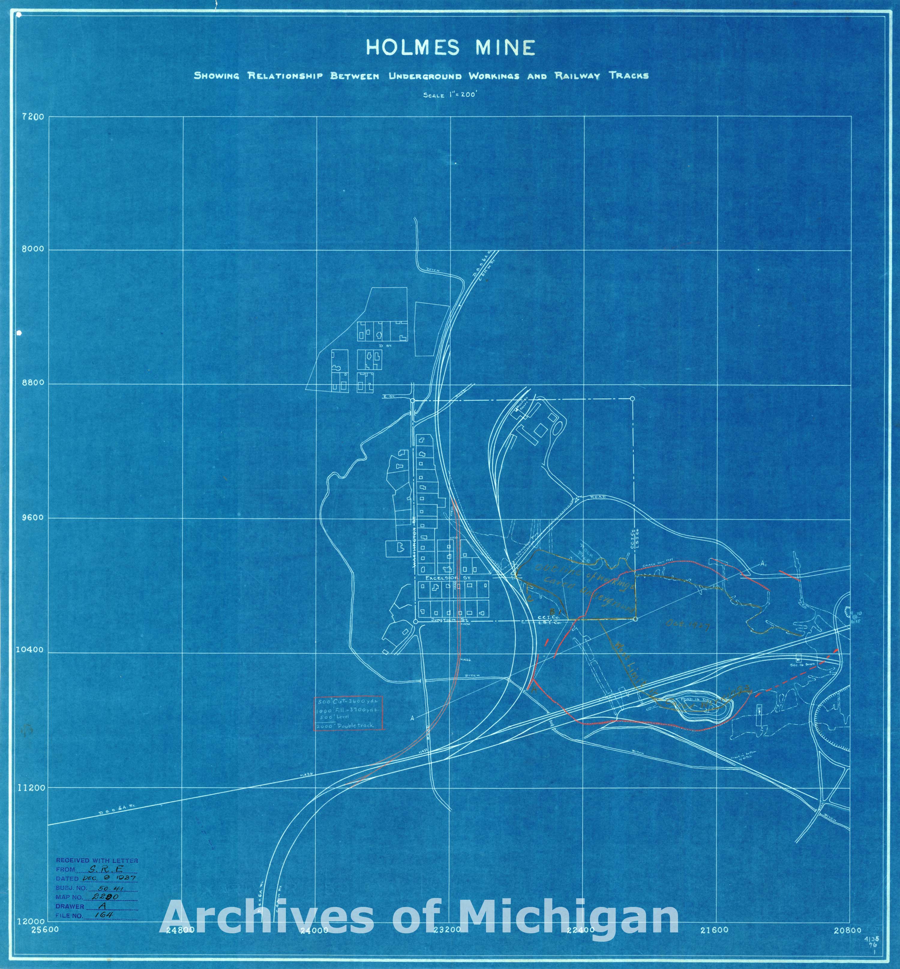
Holmes Mine Showing Relationships between Underground Working and Railways Tracks (2 maps) 1937 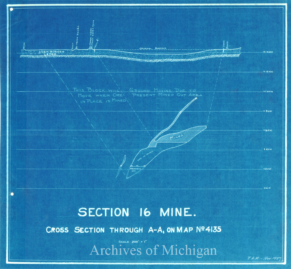
|
||||||||||||||||
|
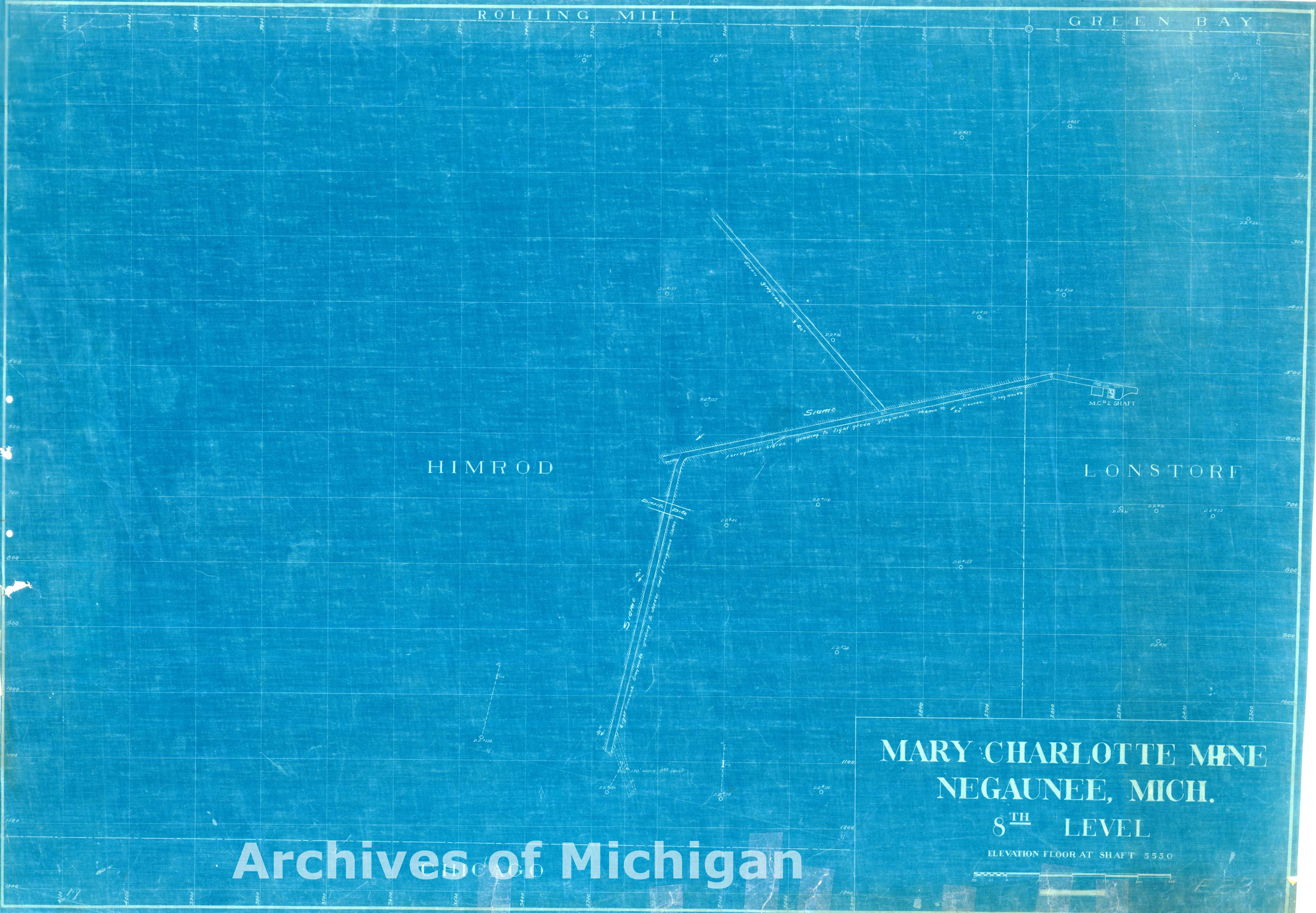
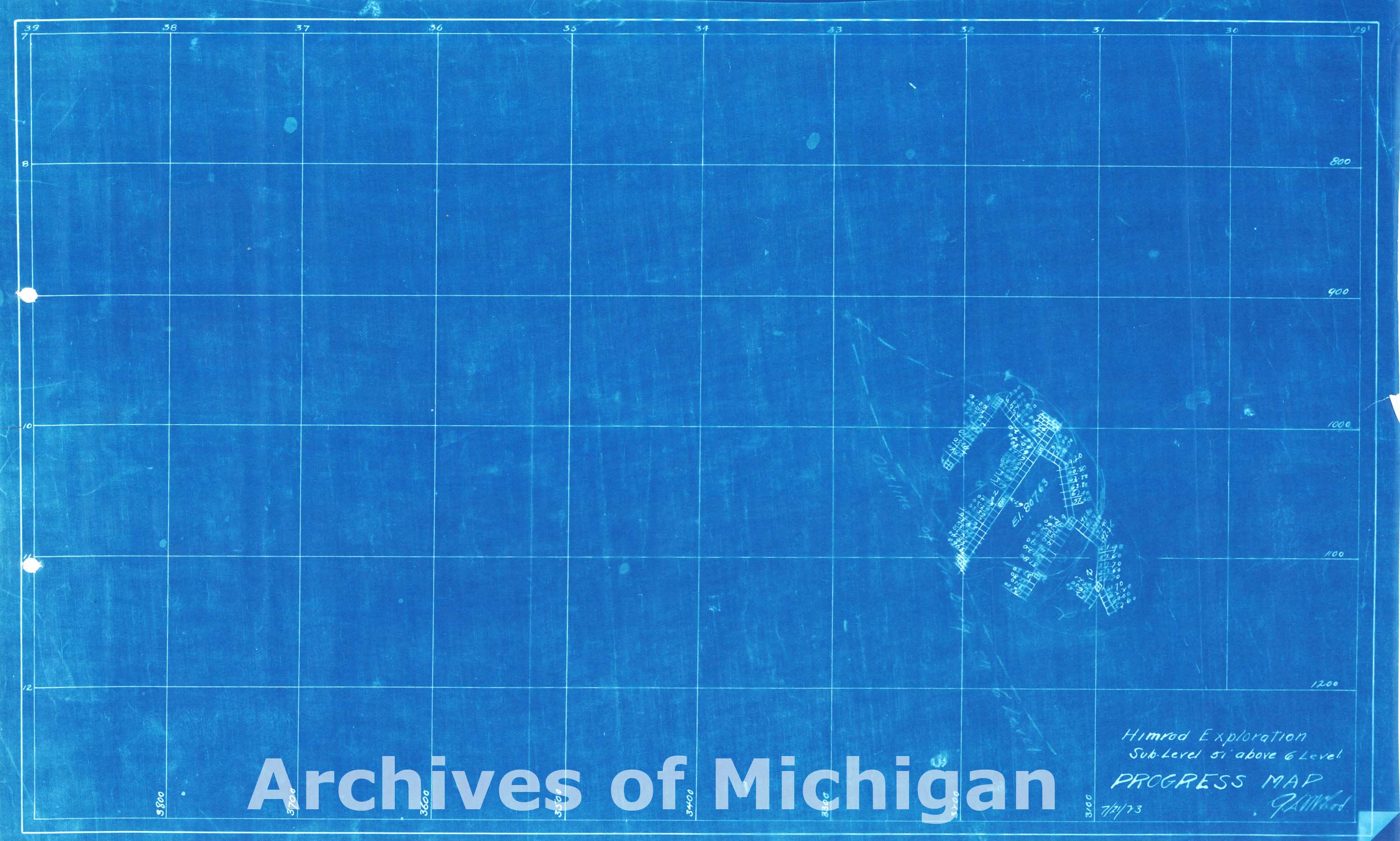
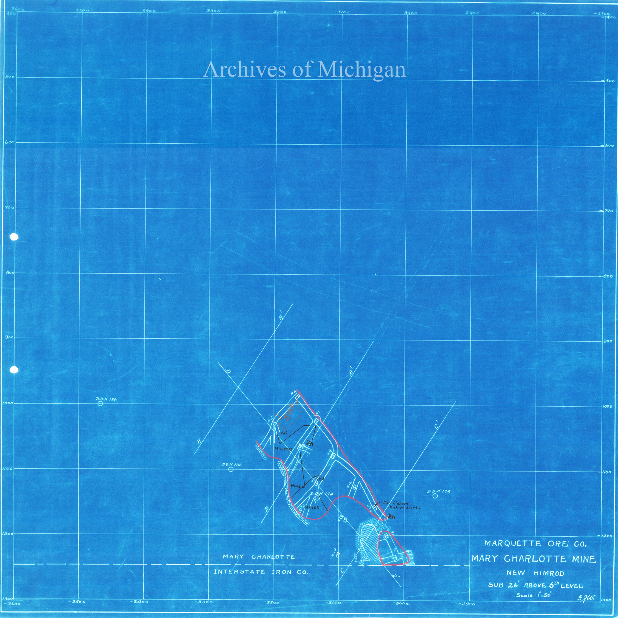
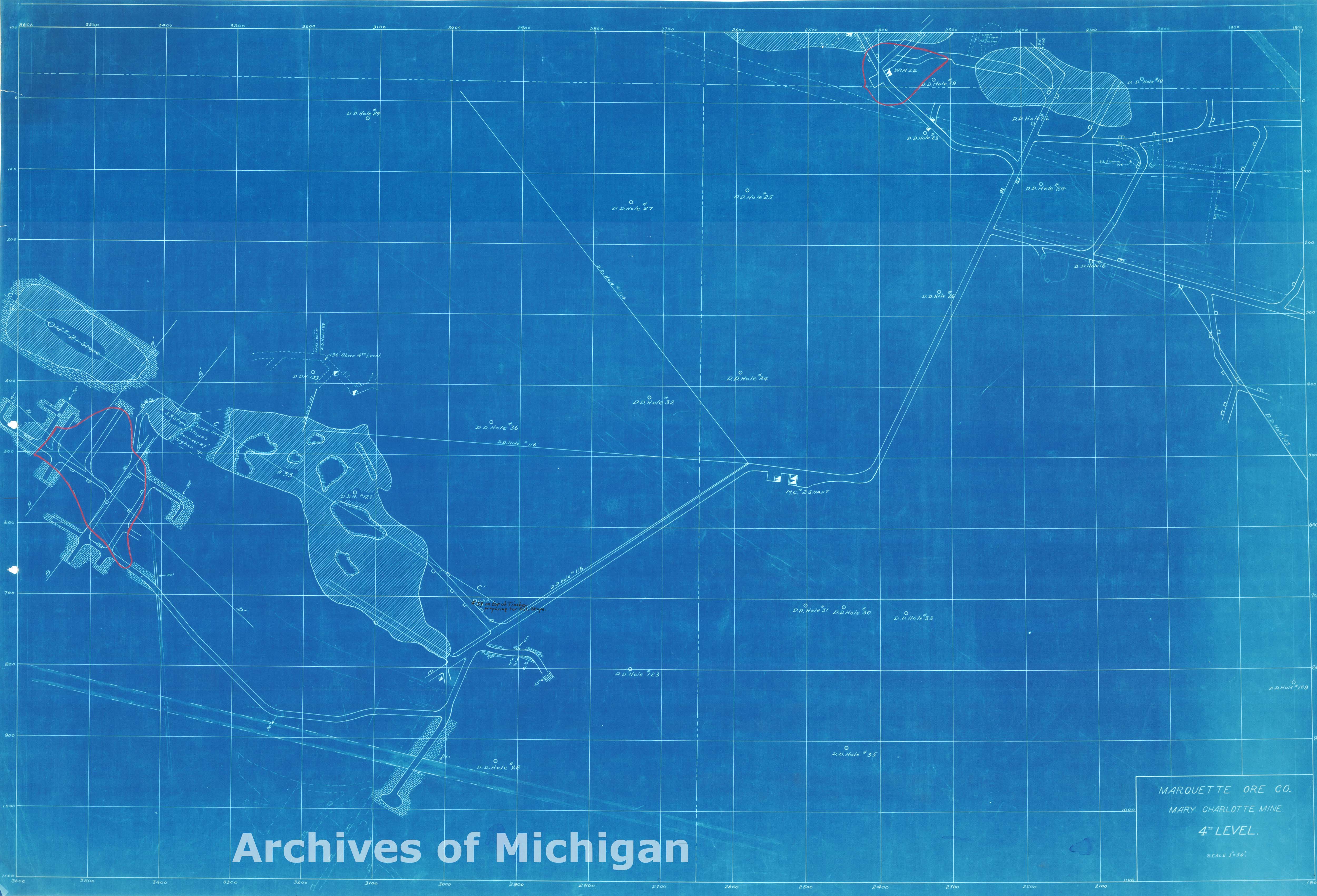
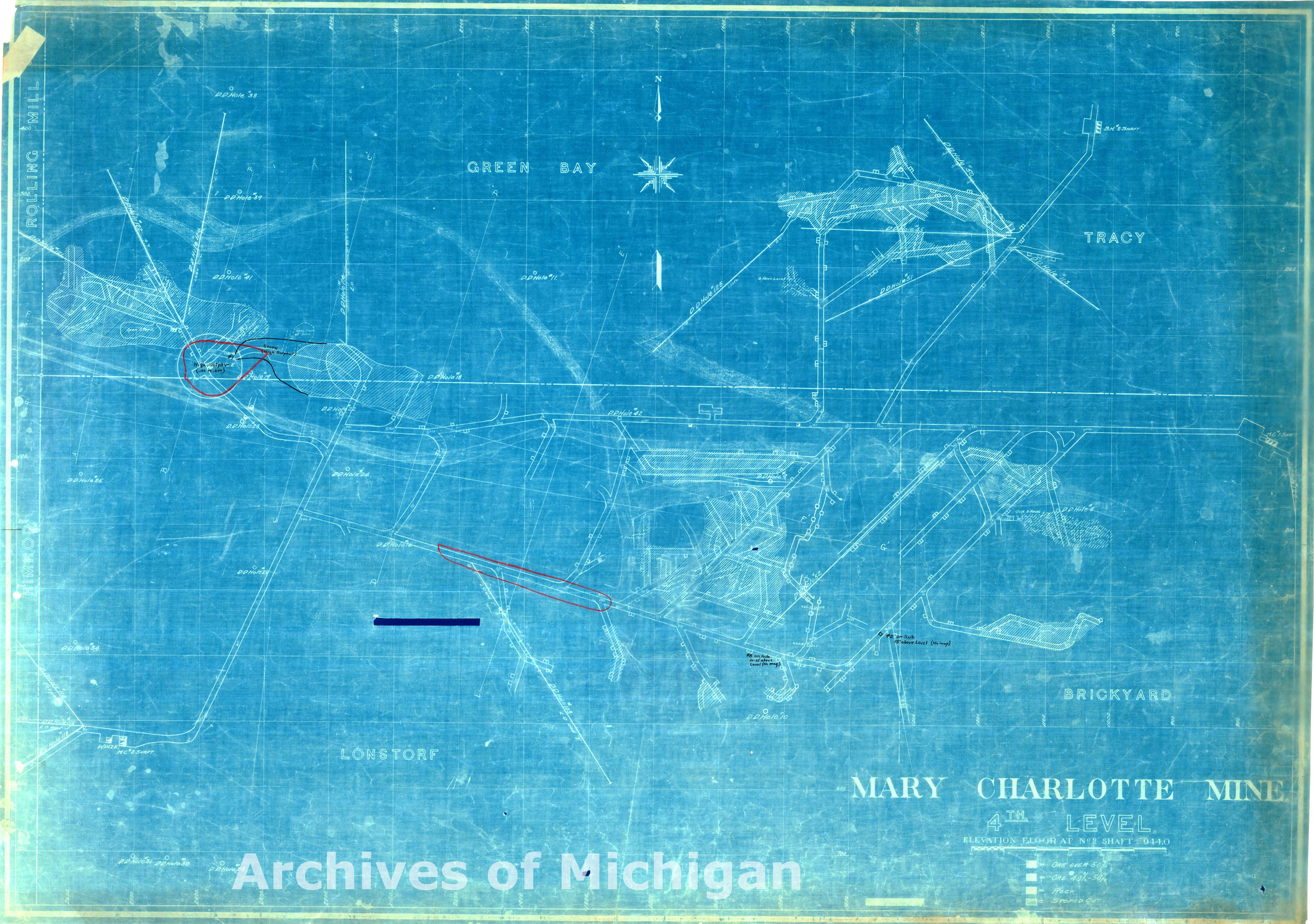
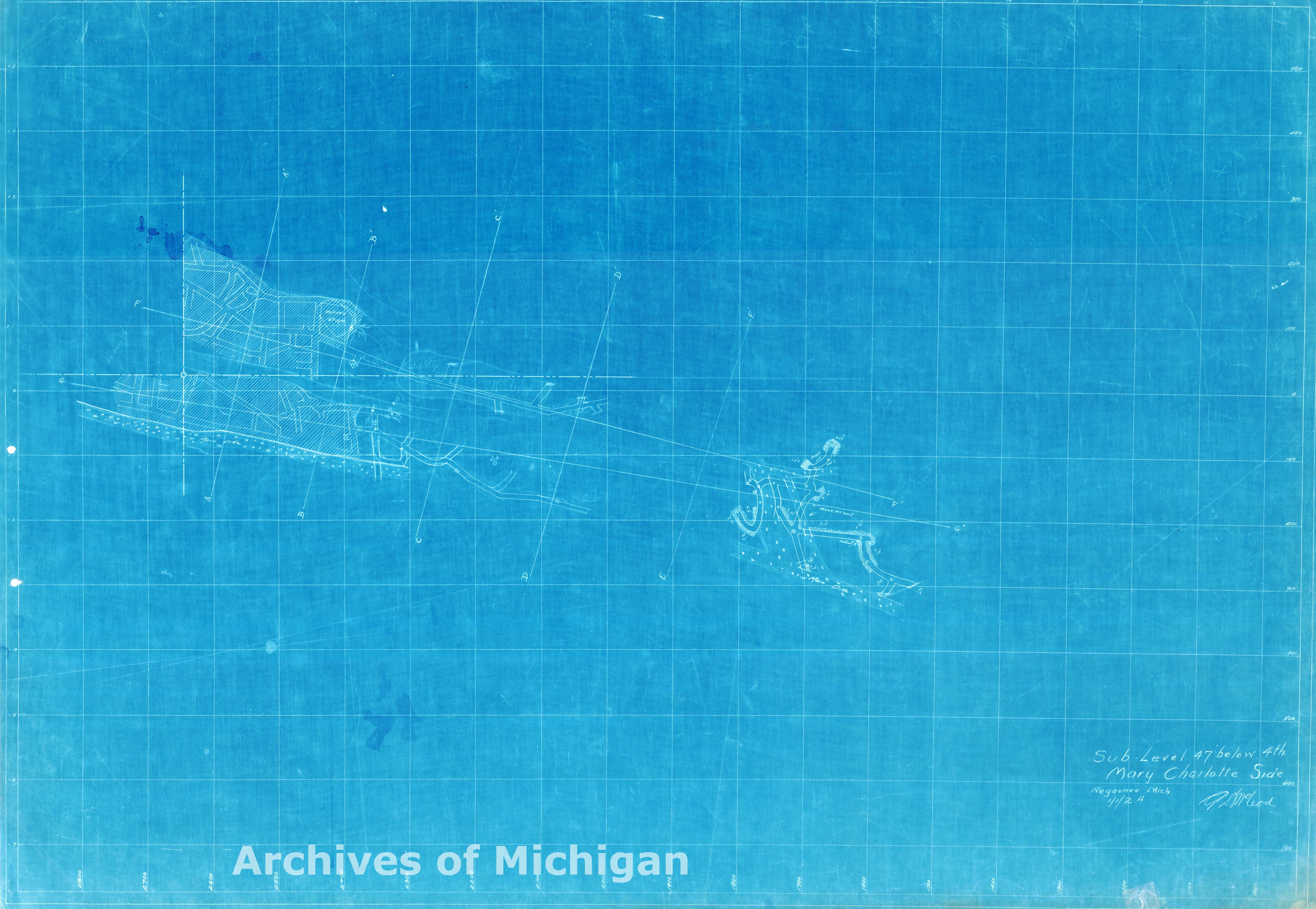
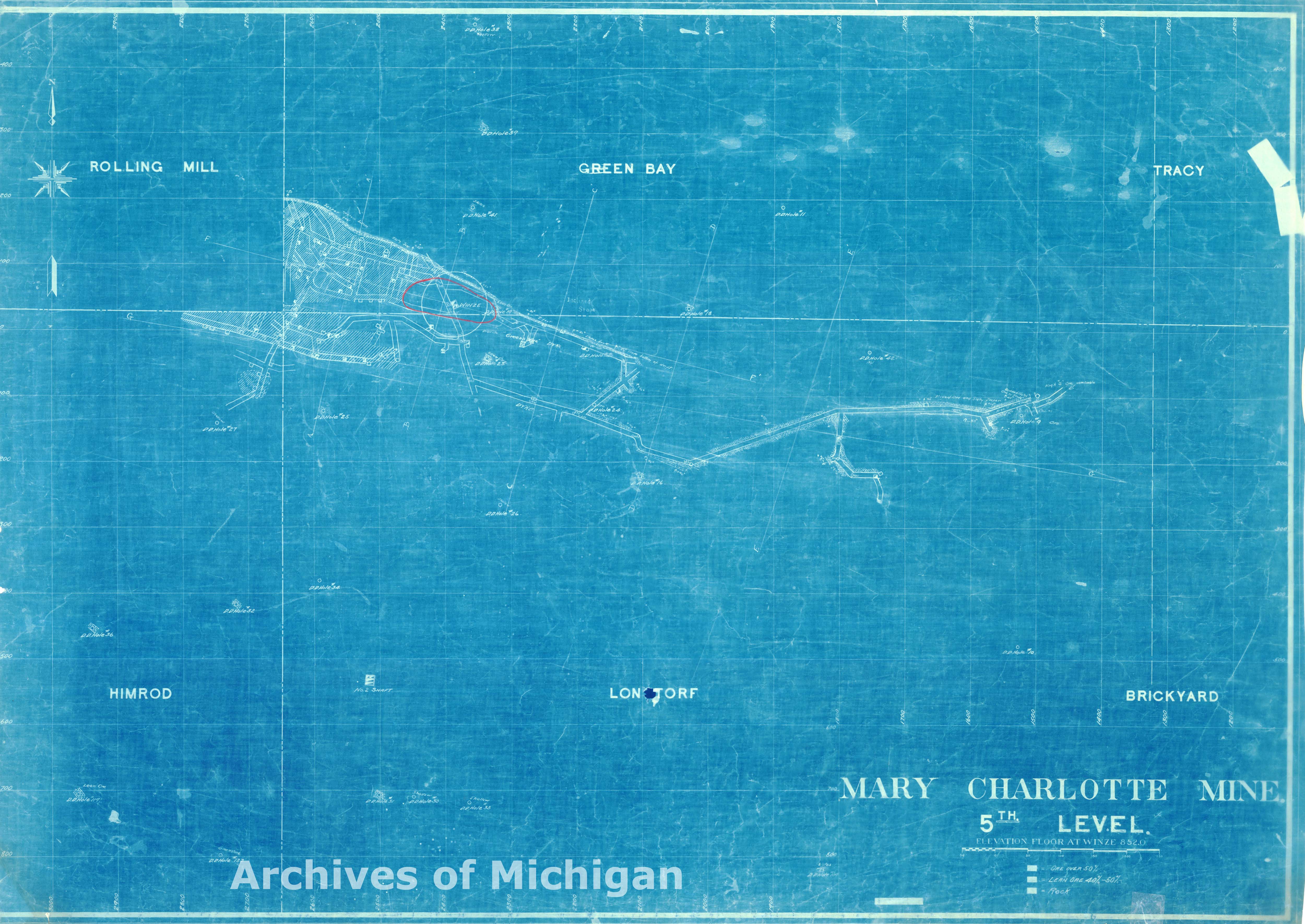
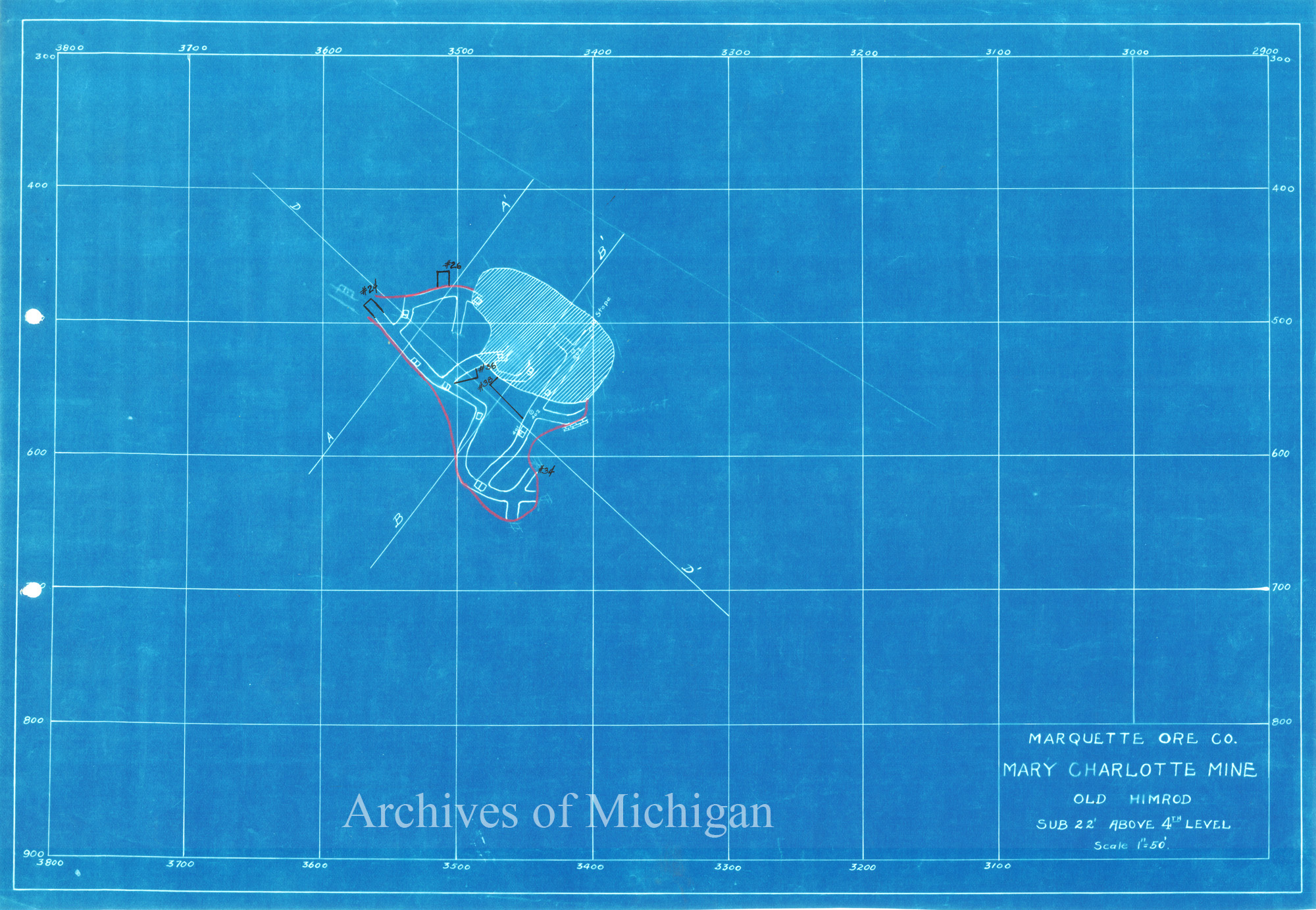
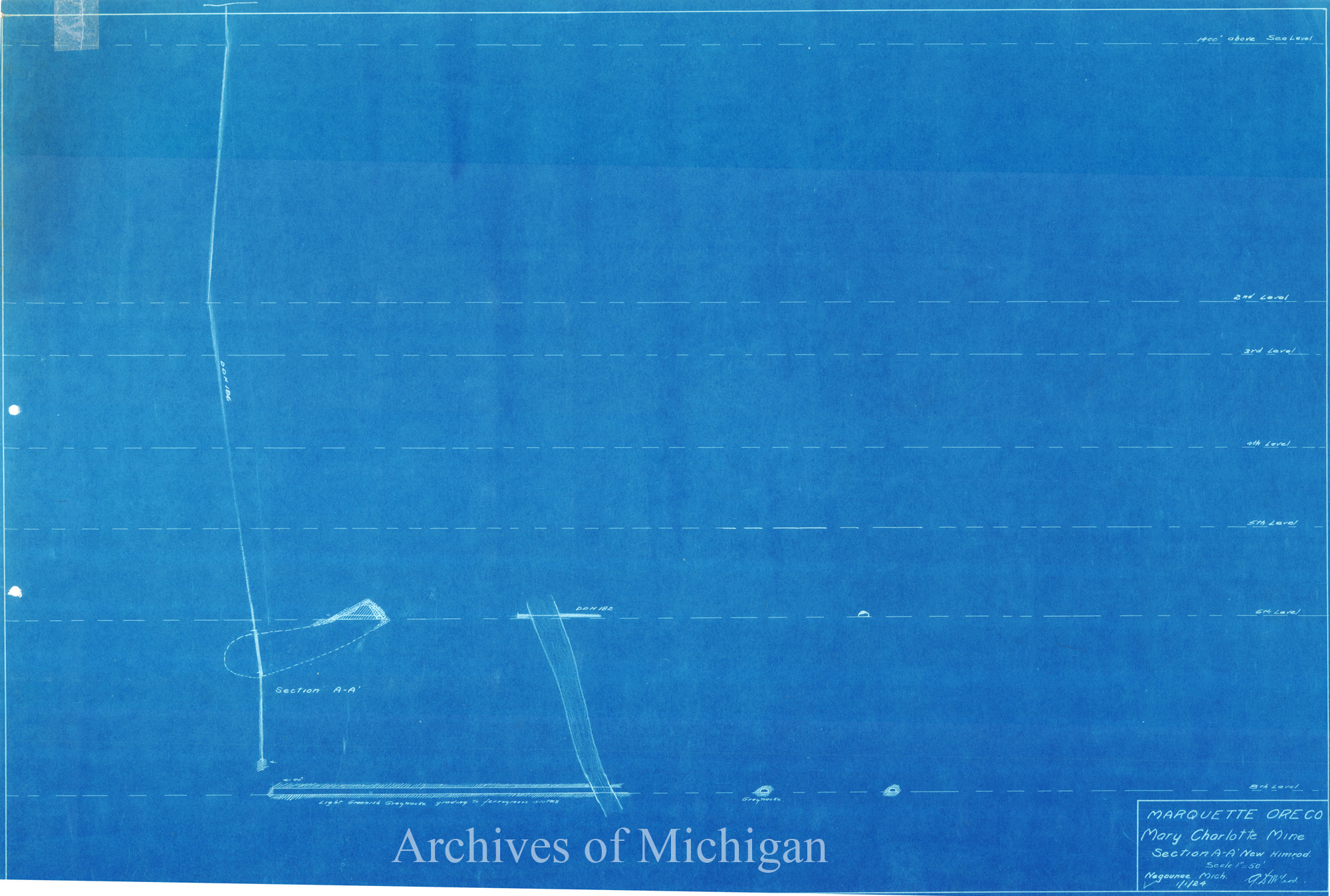
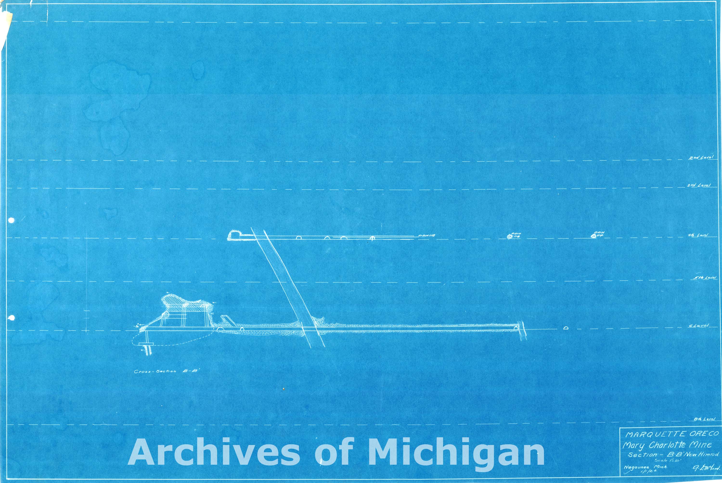
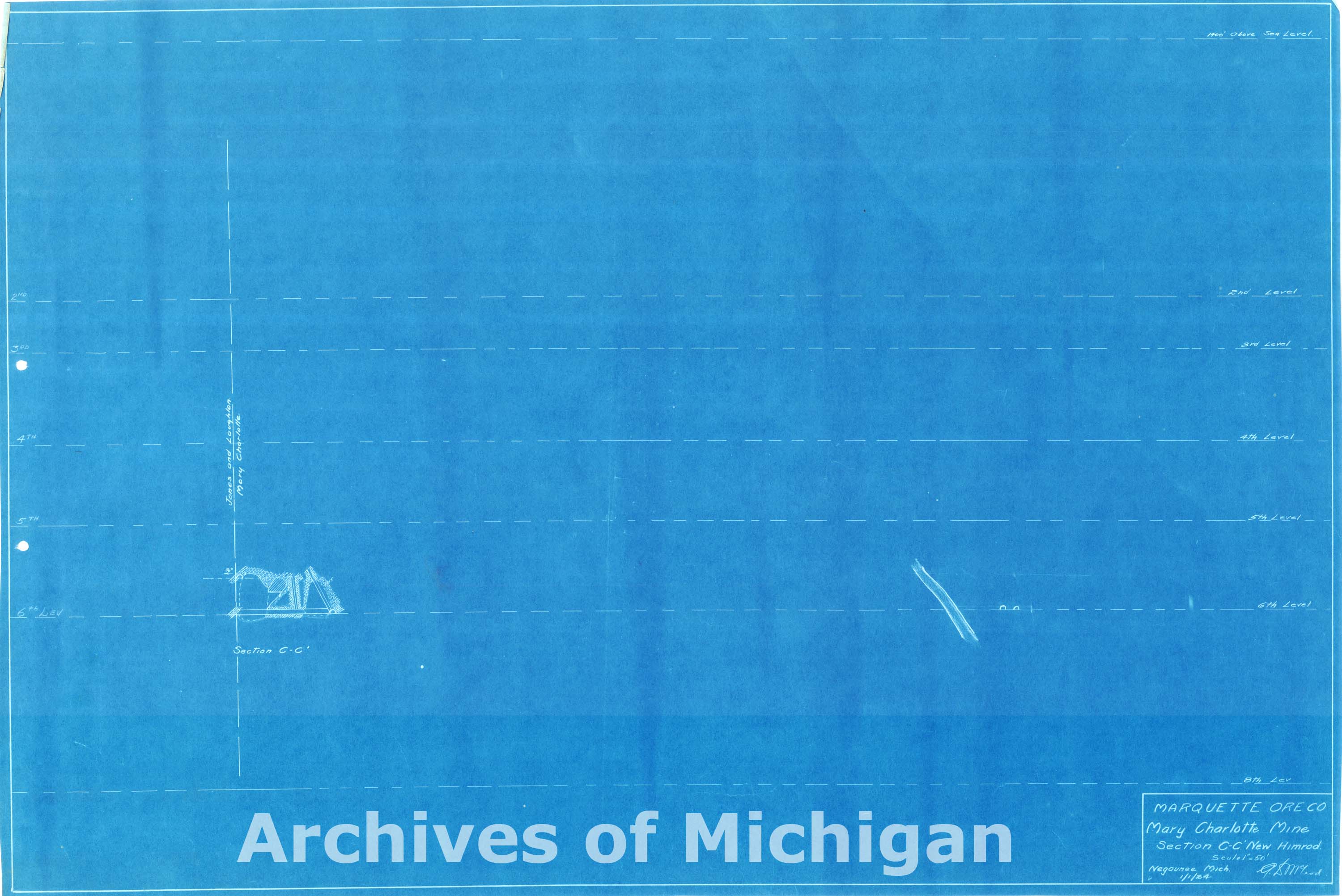
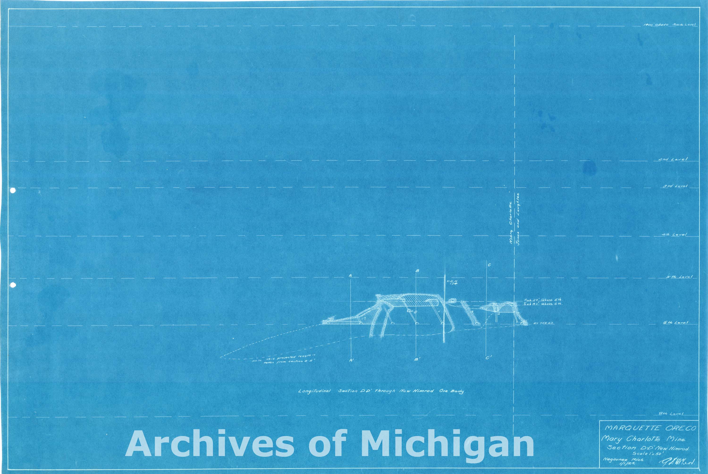
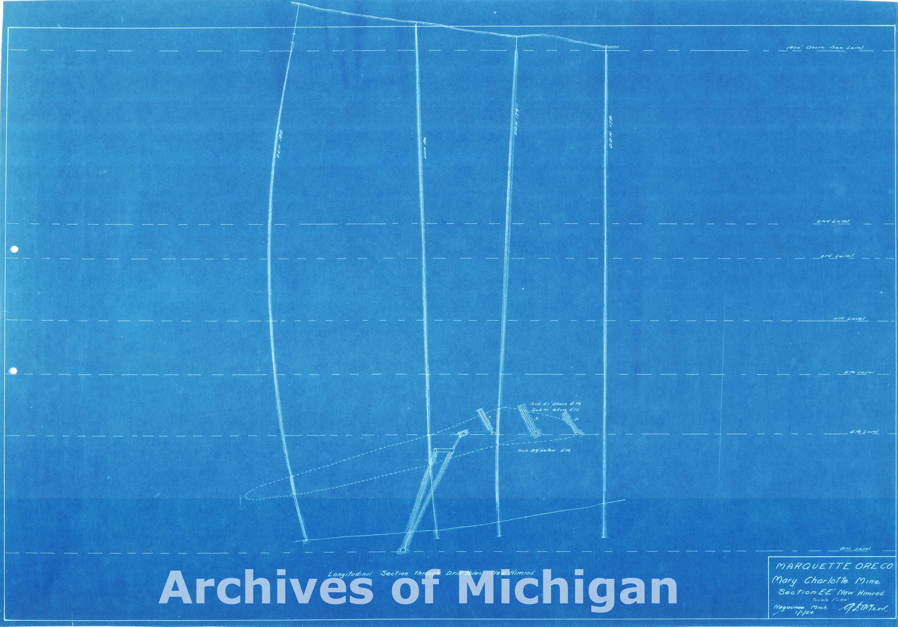
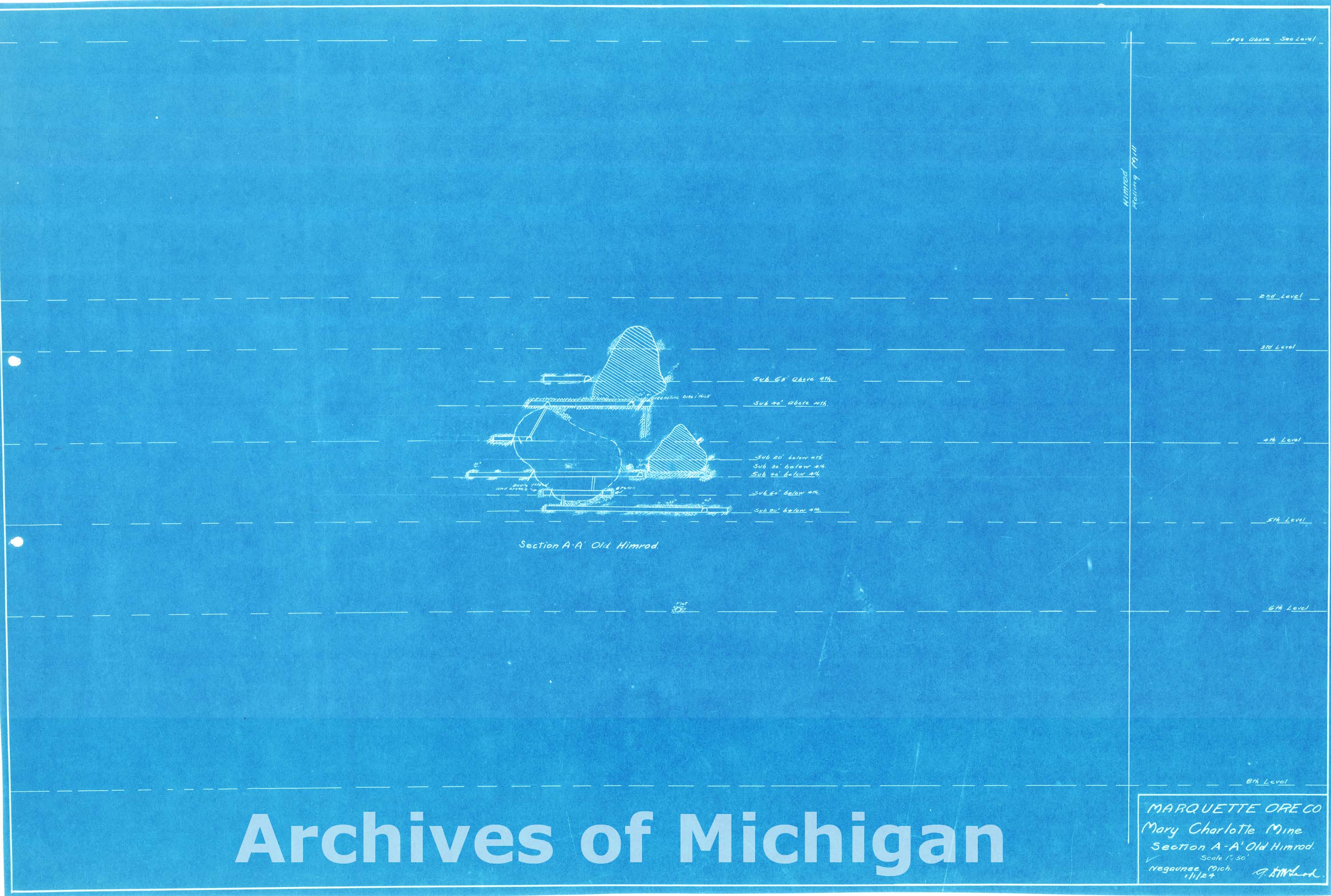
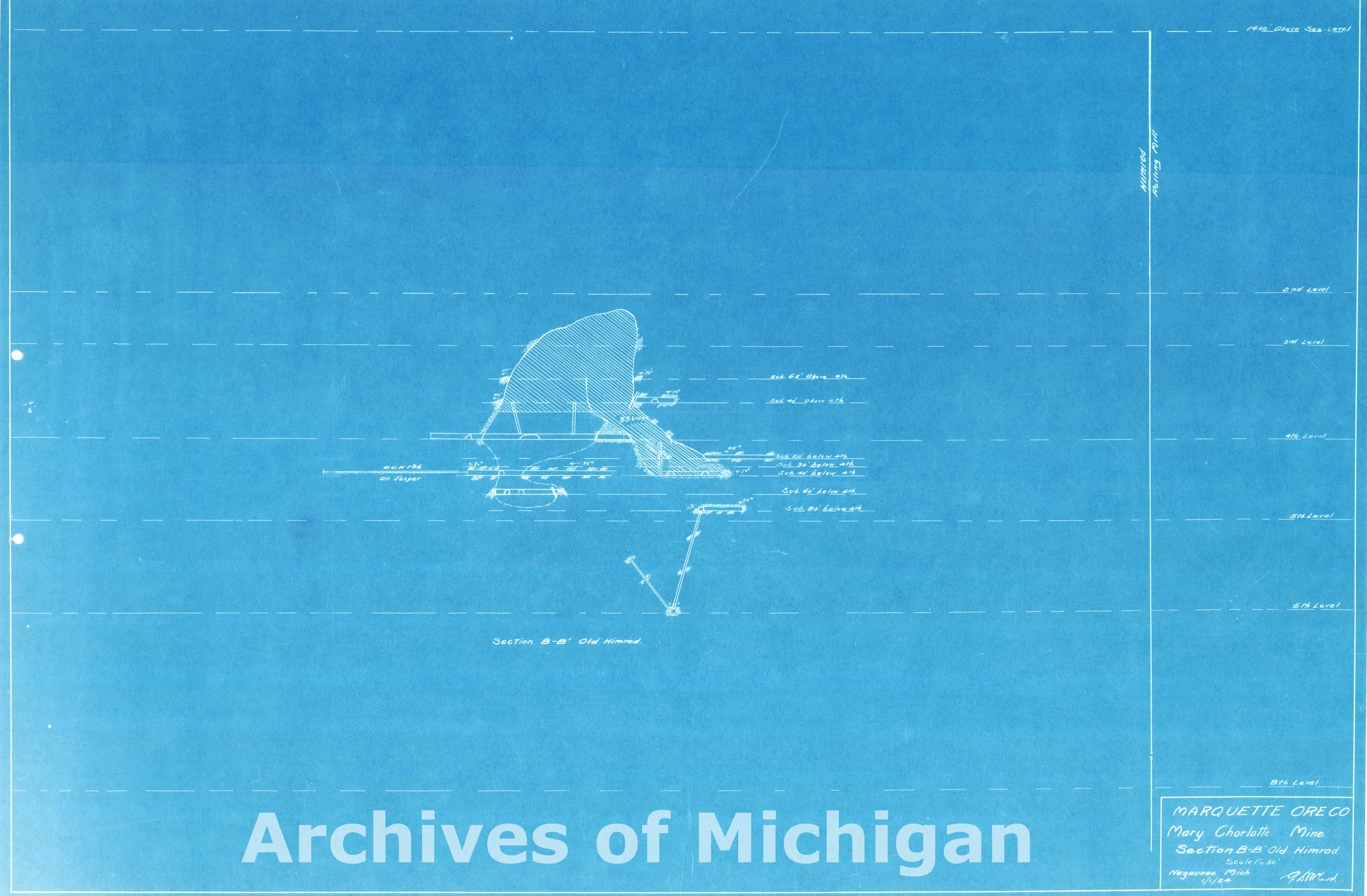
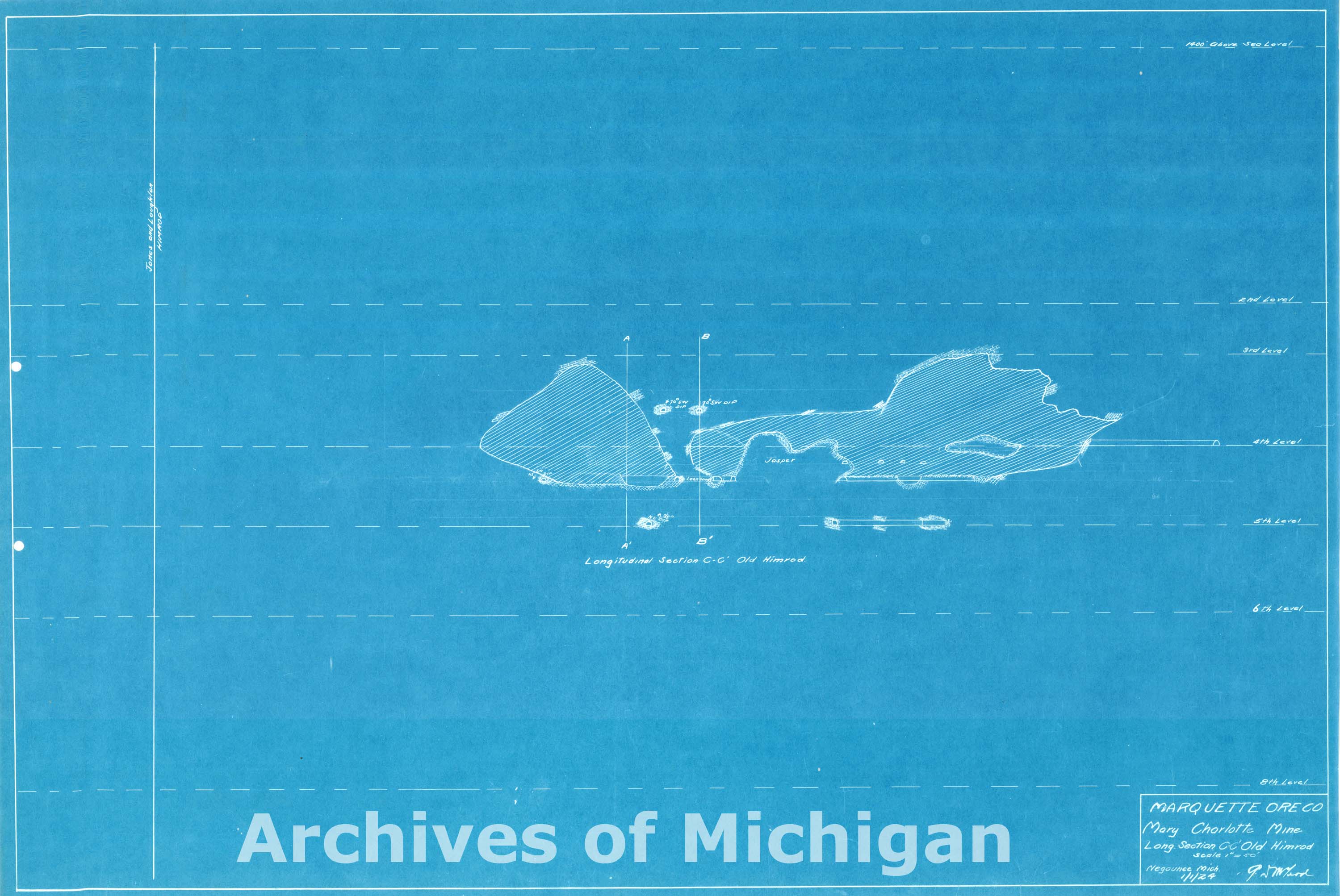
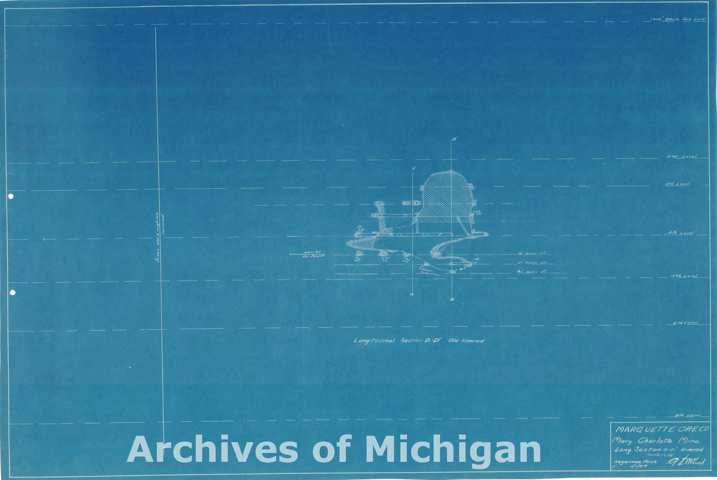
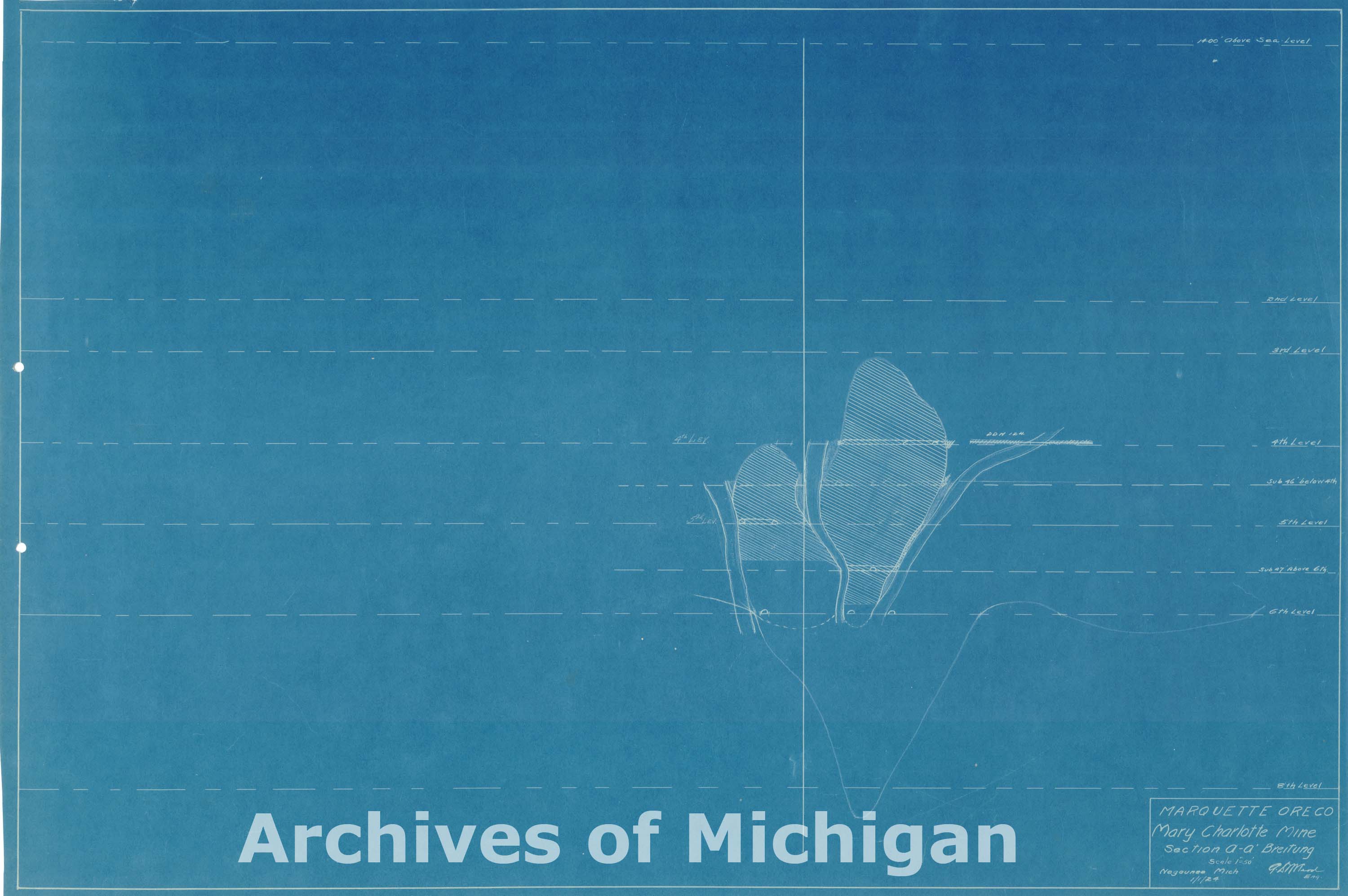
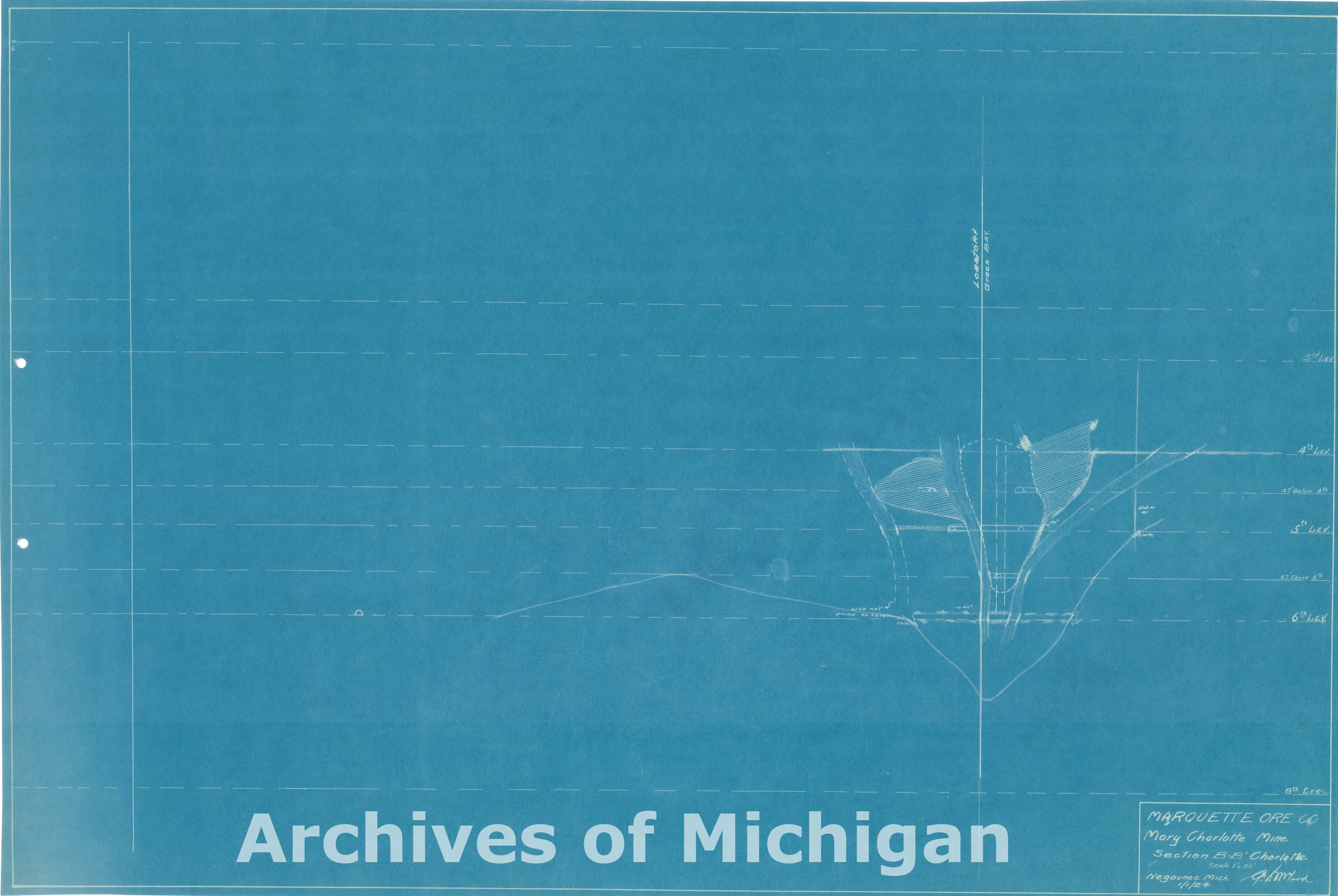
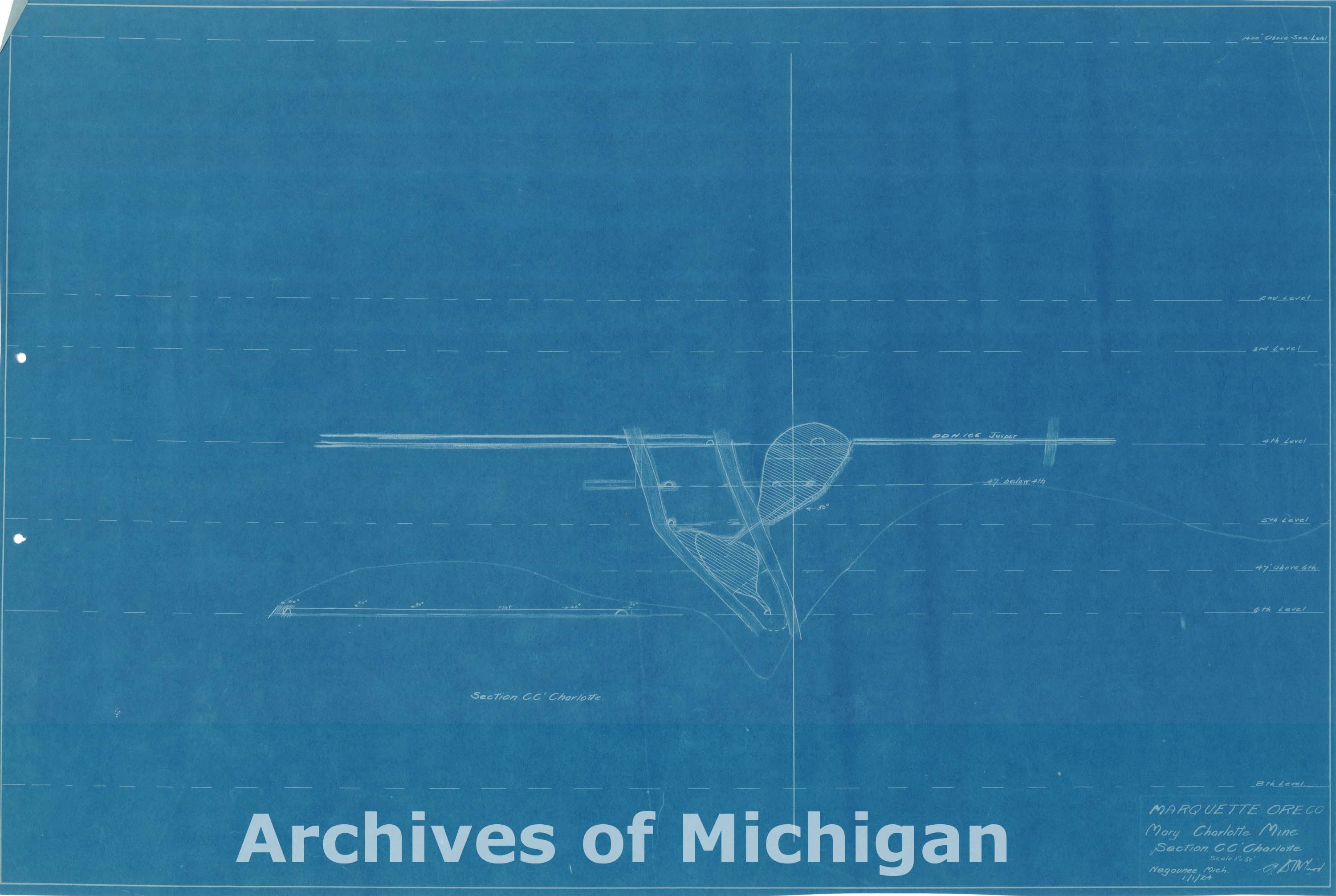
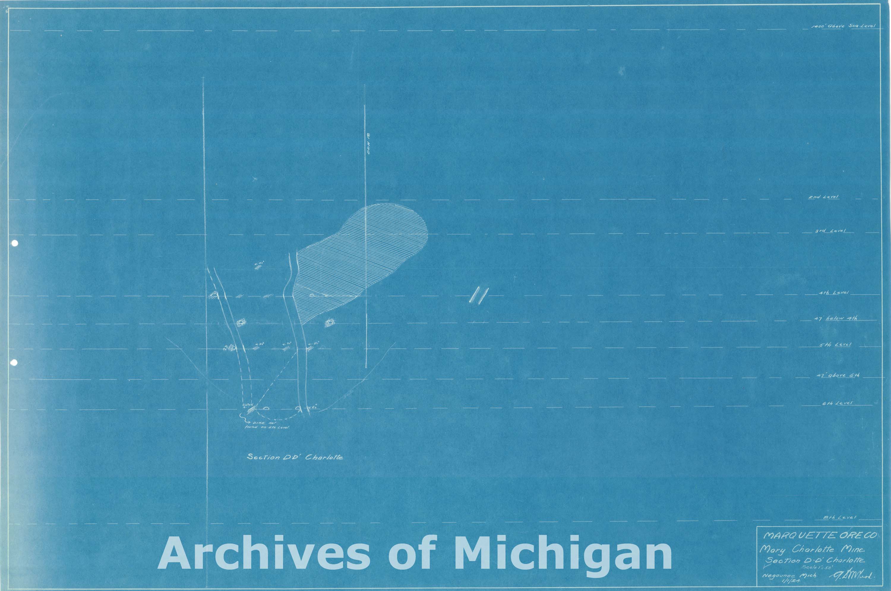
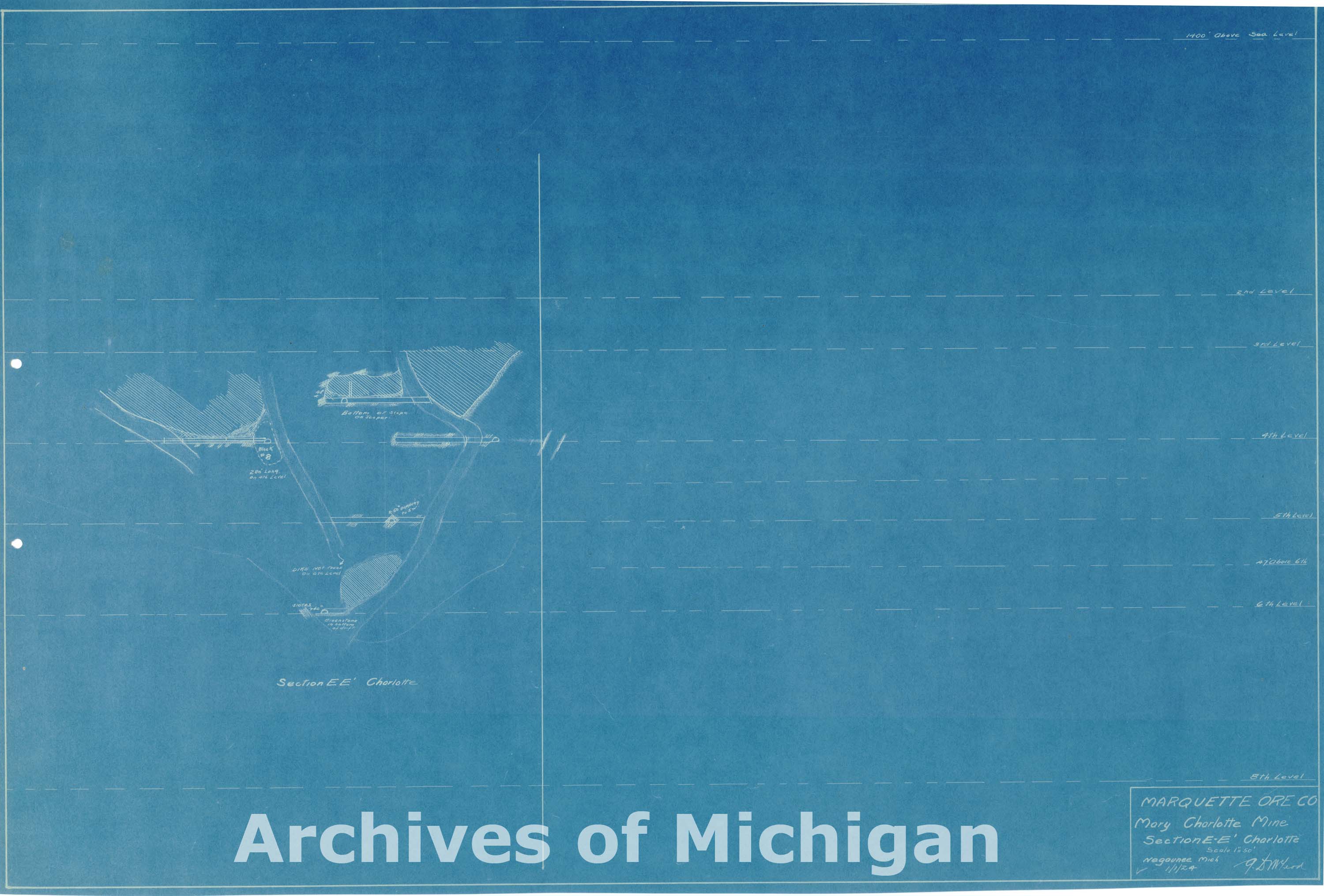
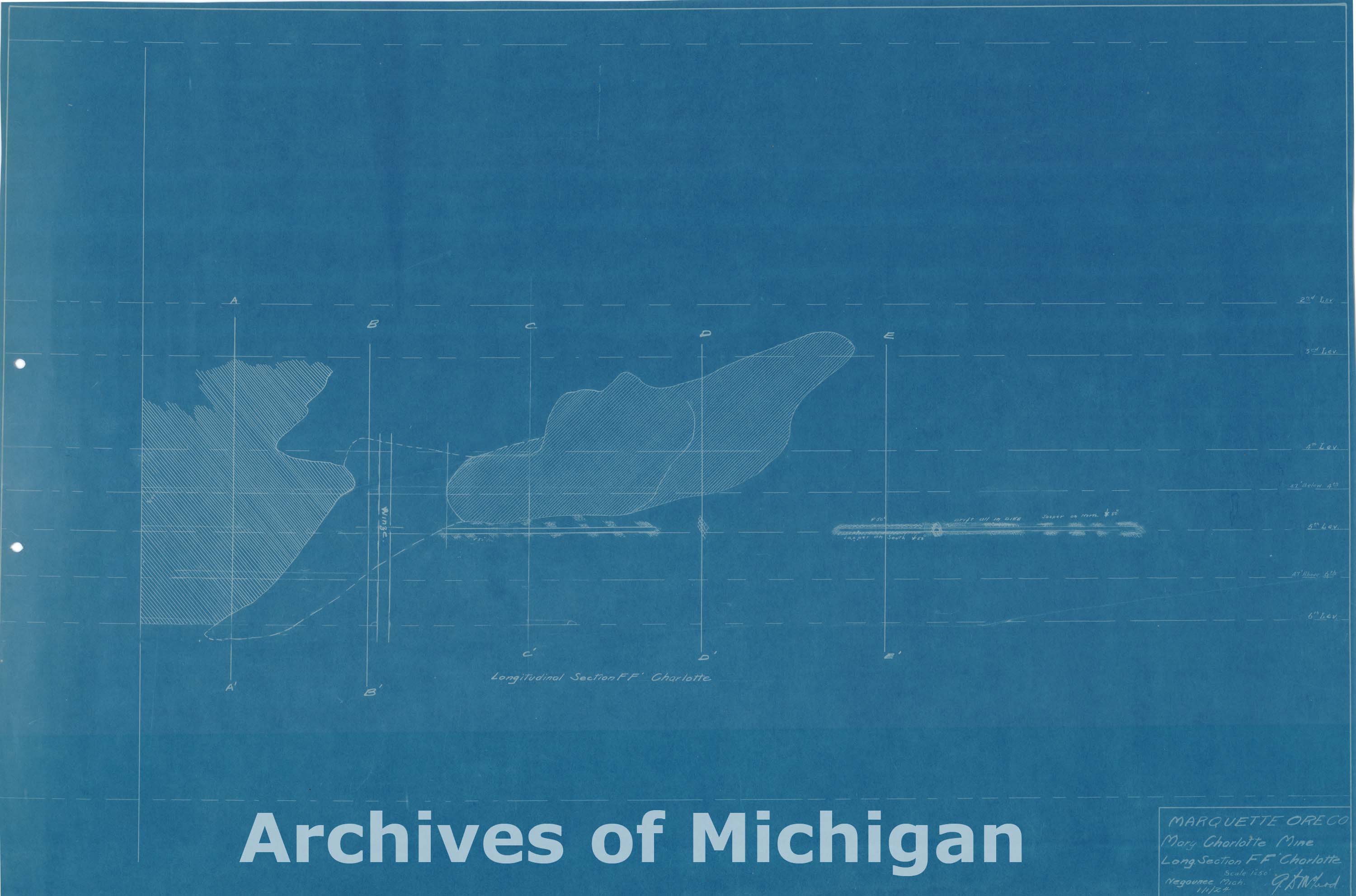
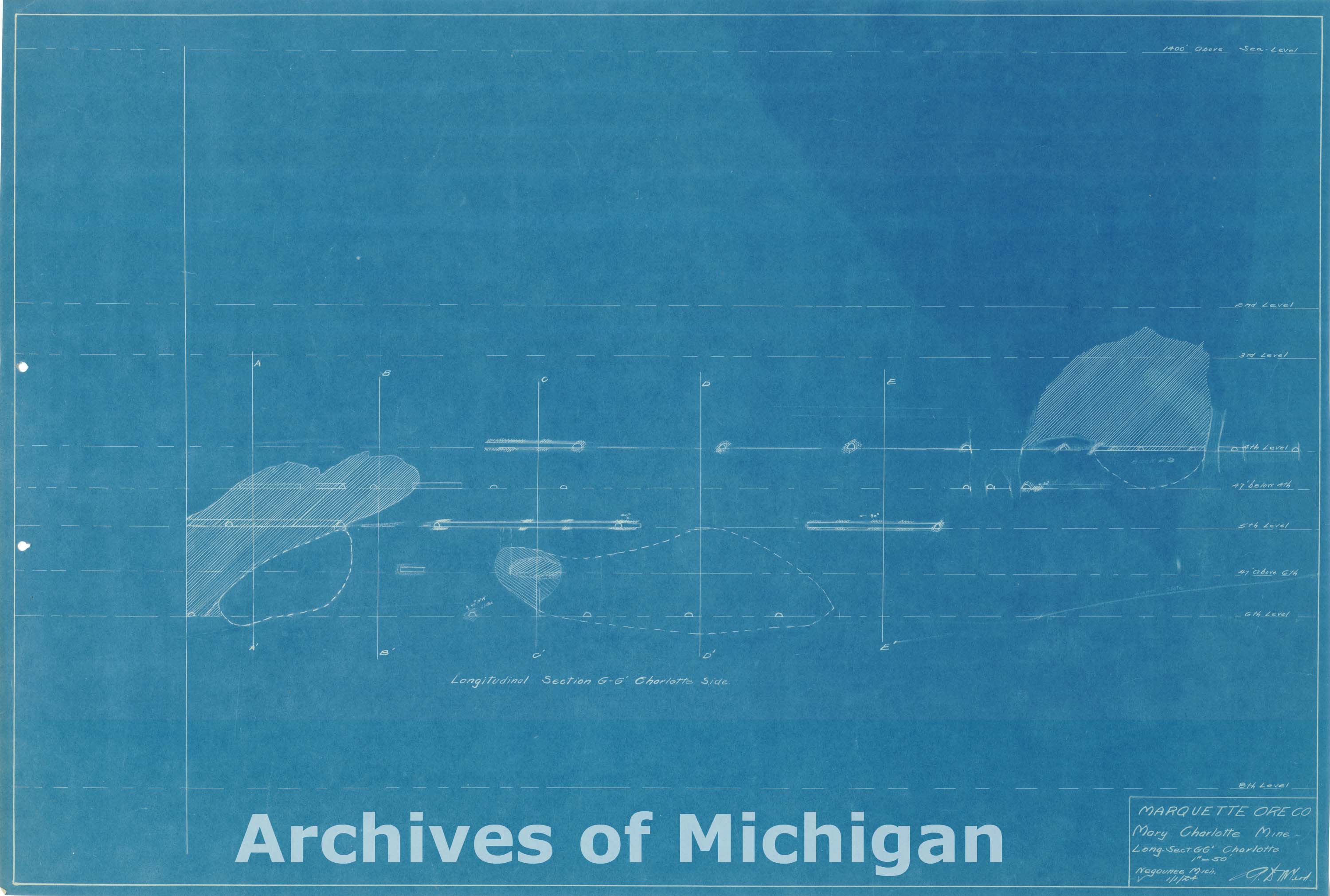
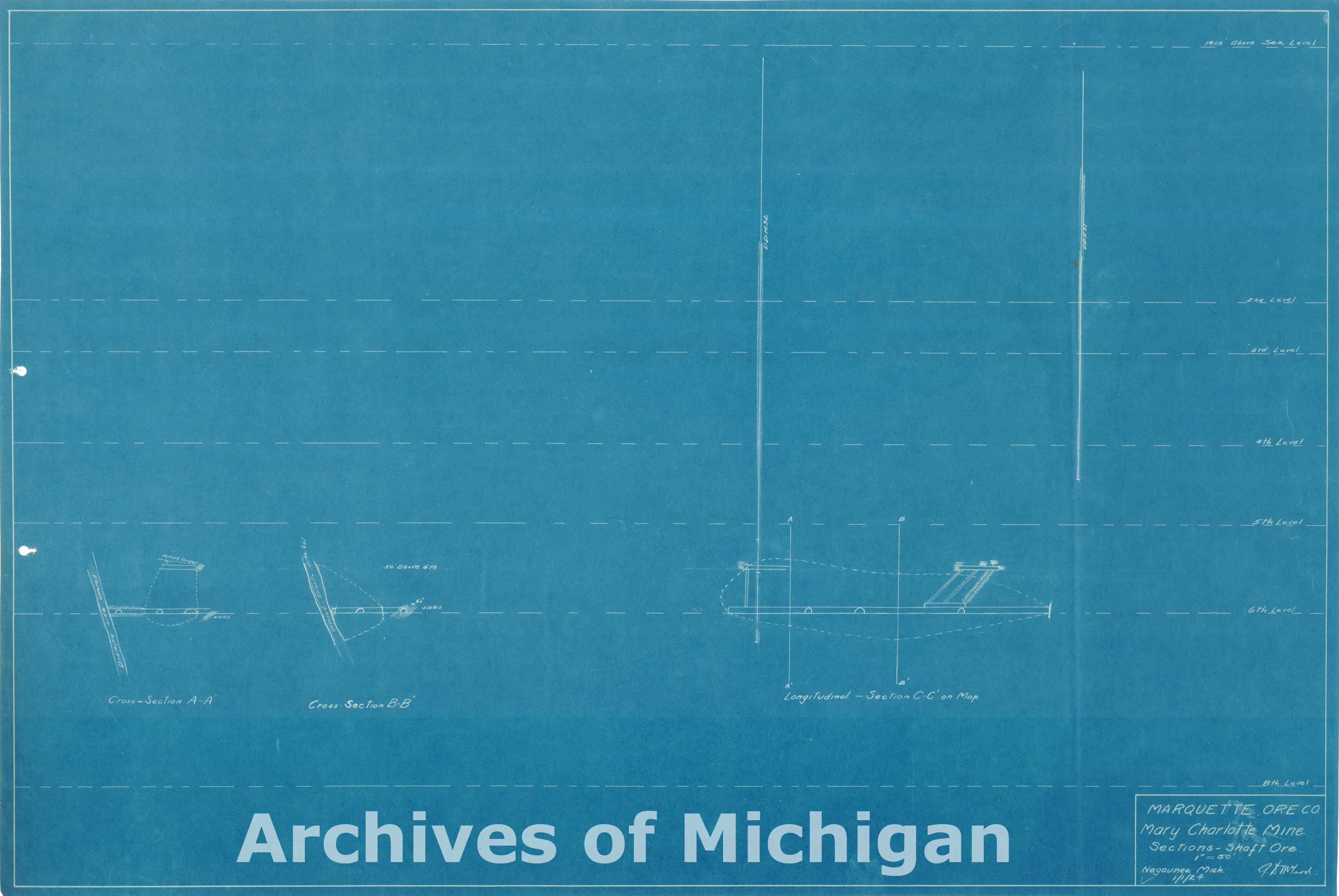
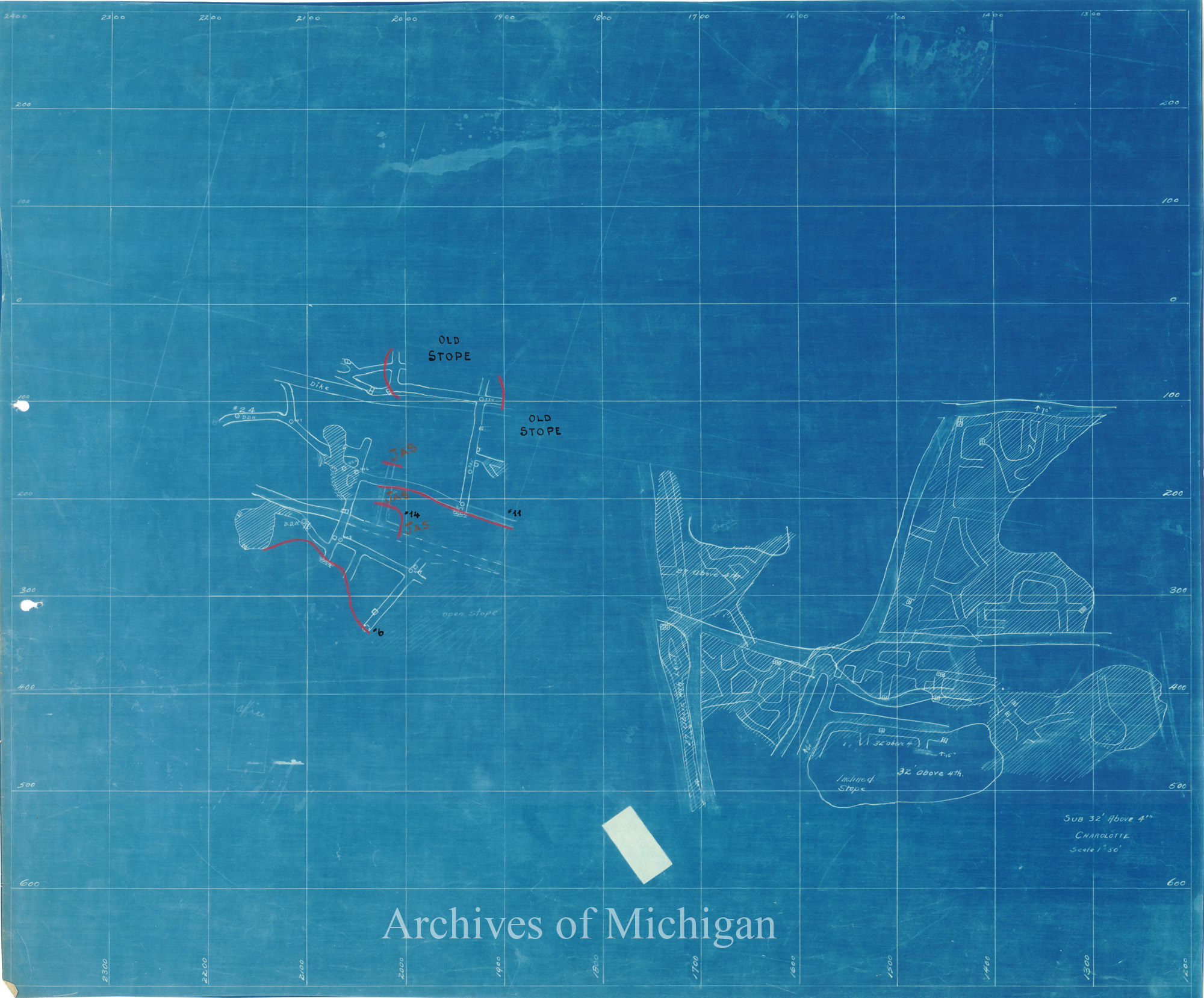
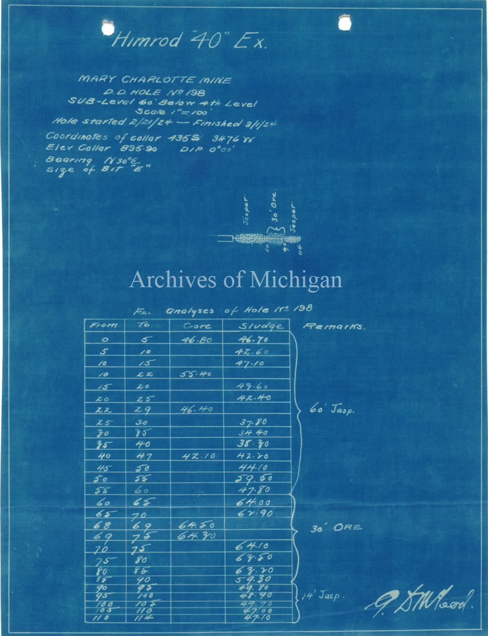
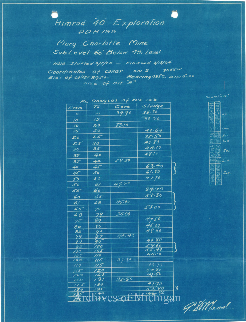
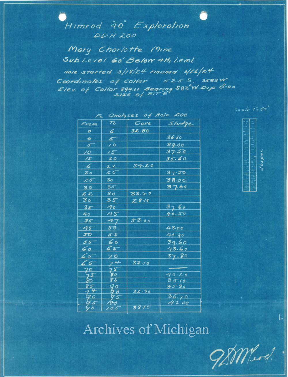
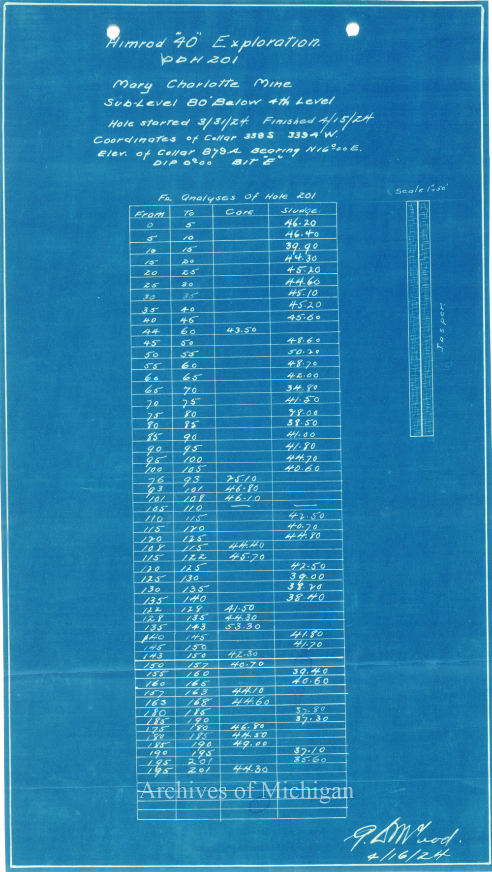
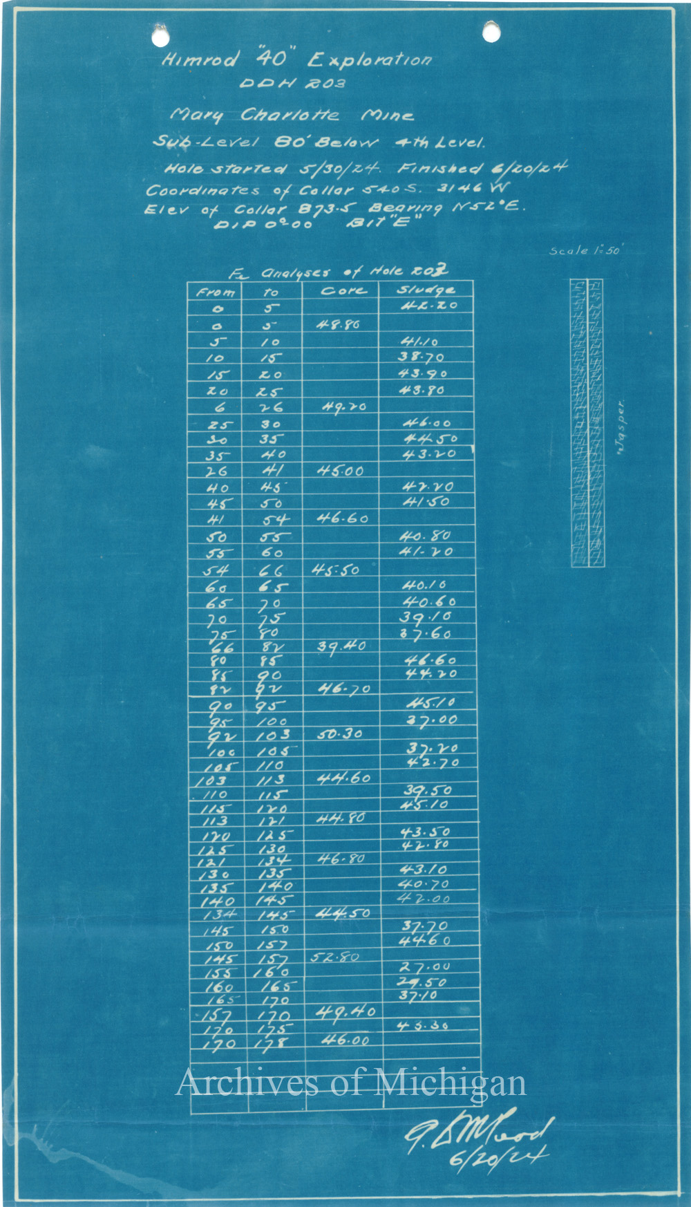
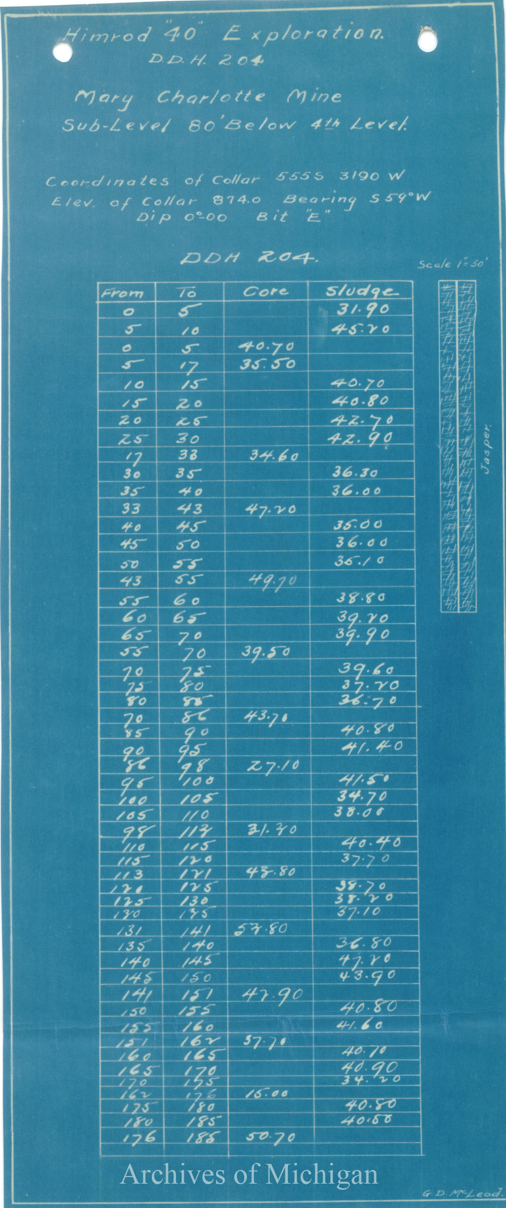
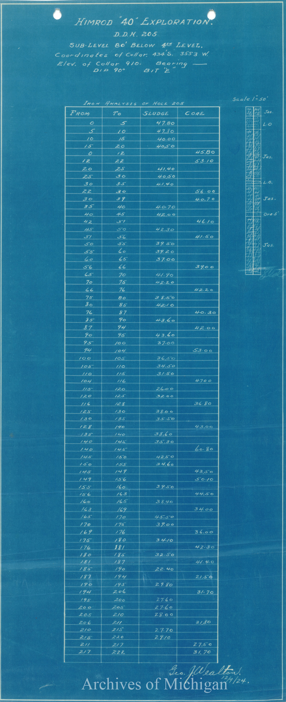
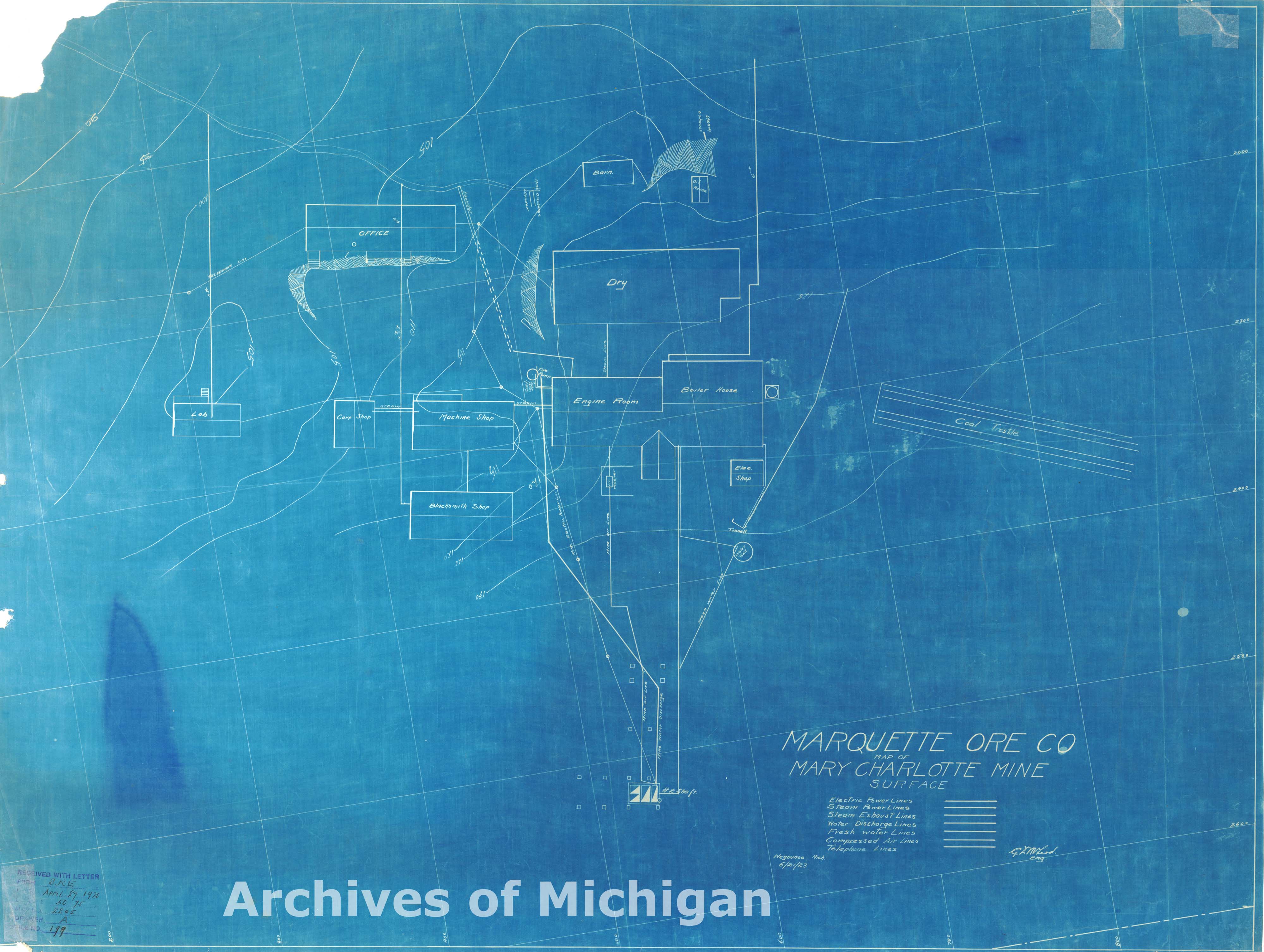
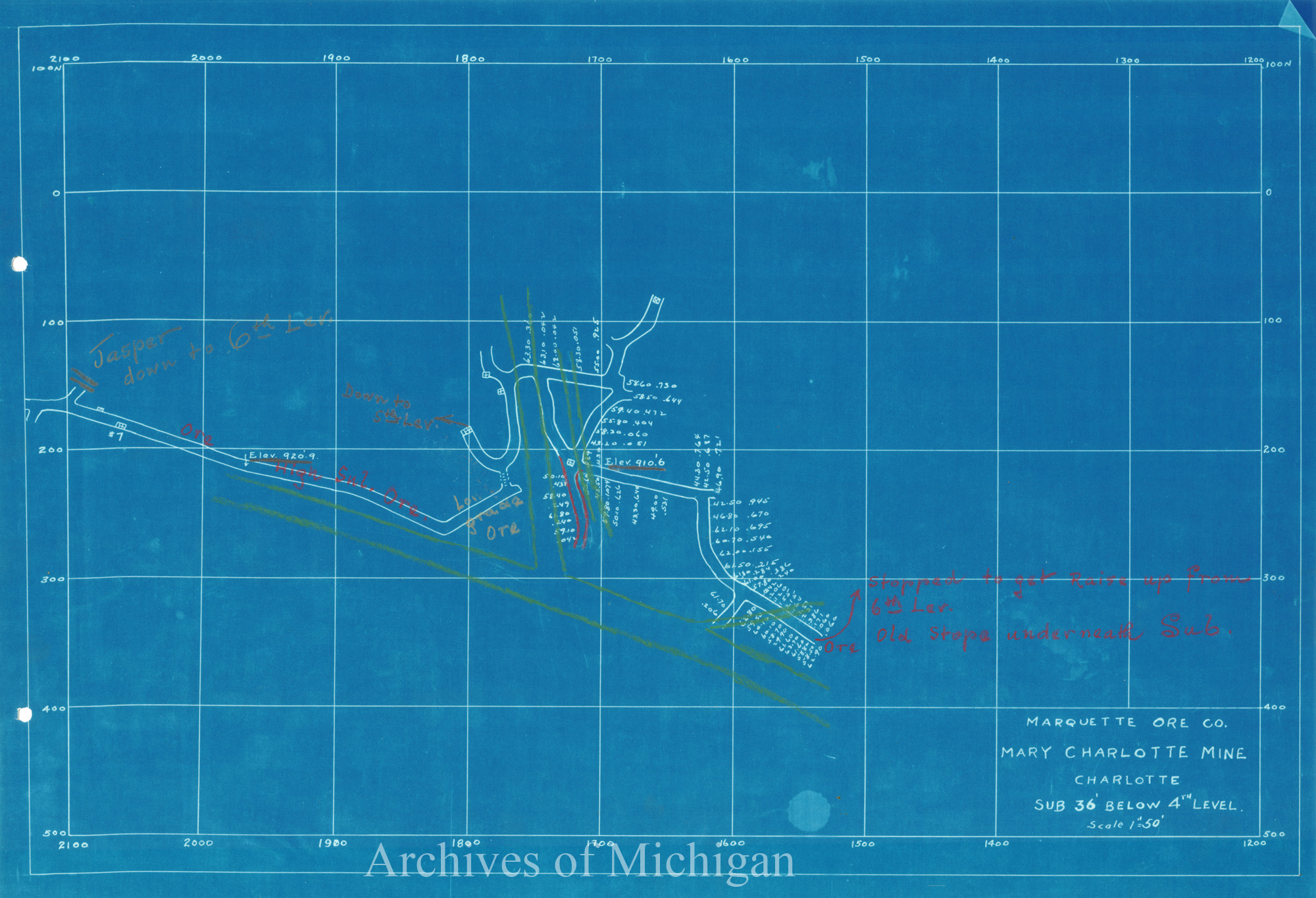
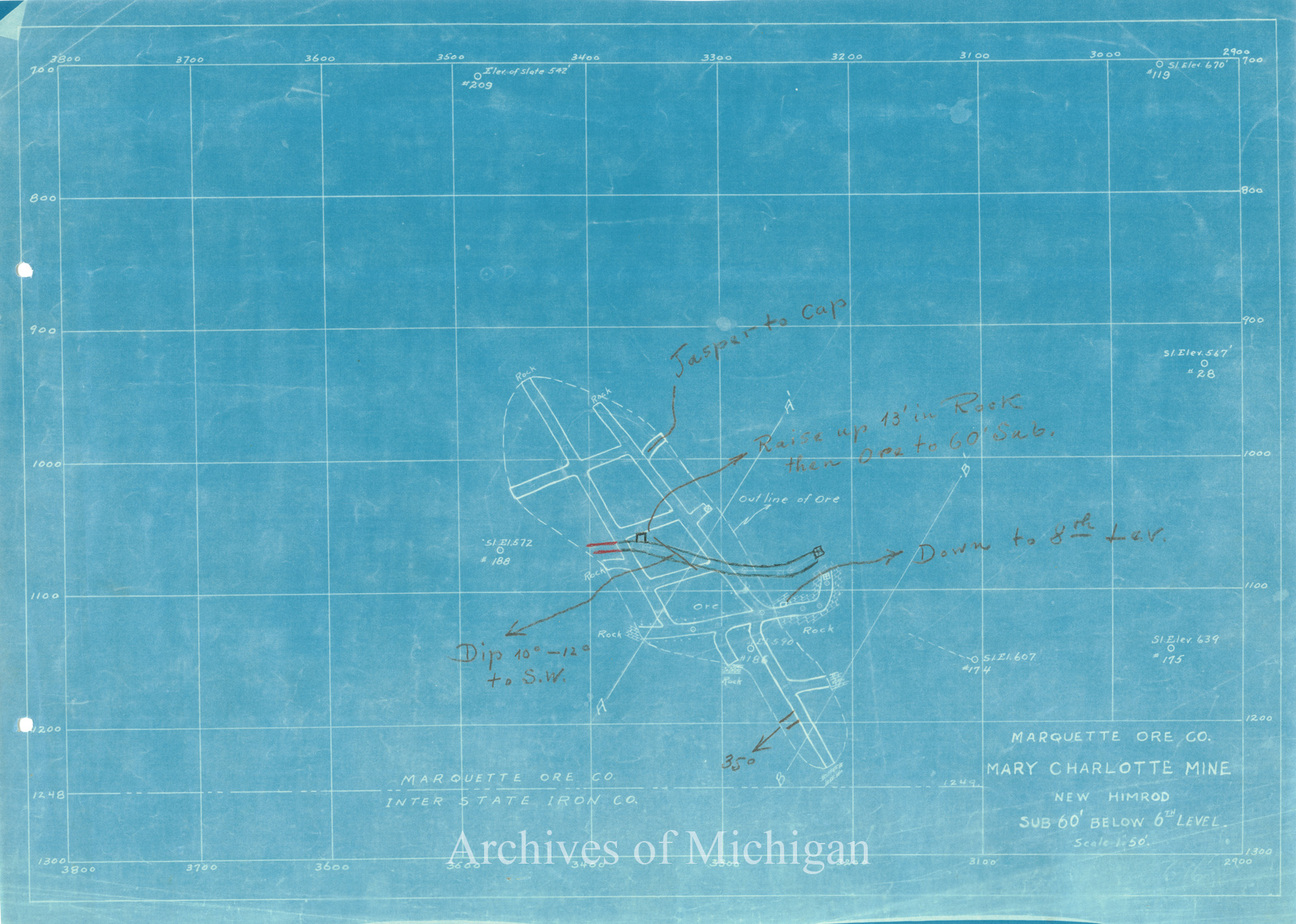
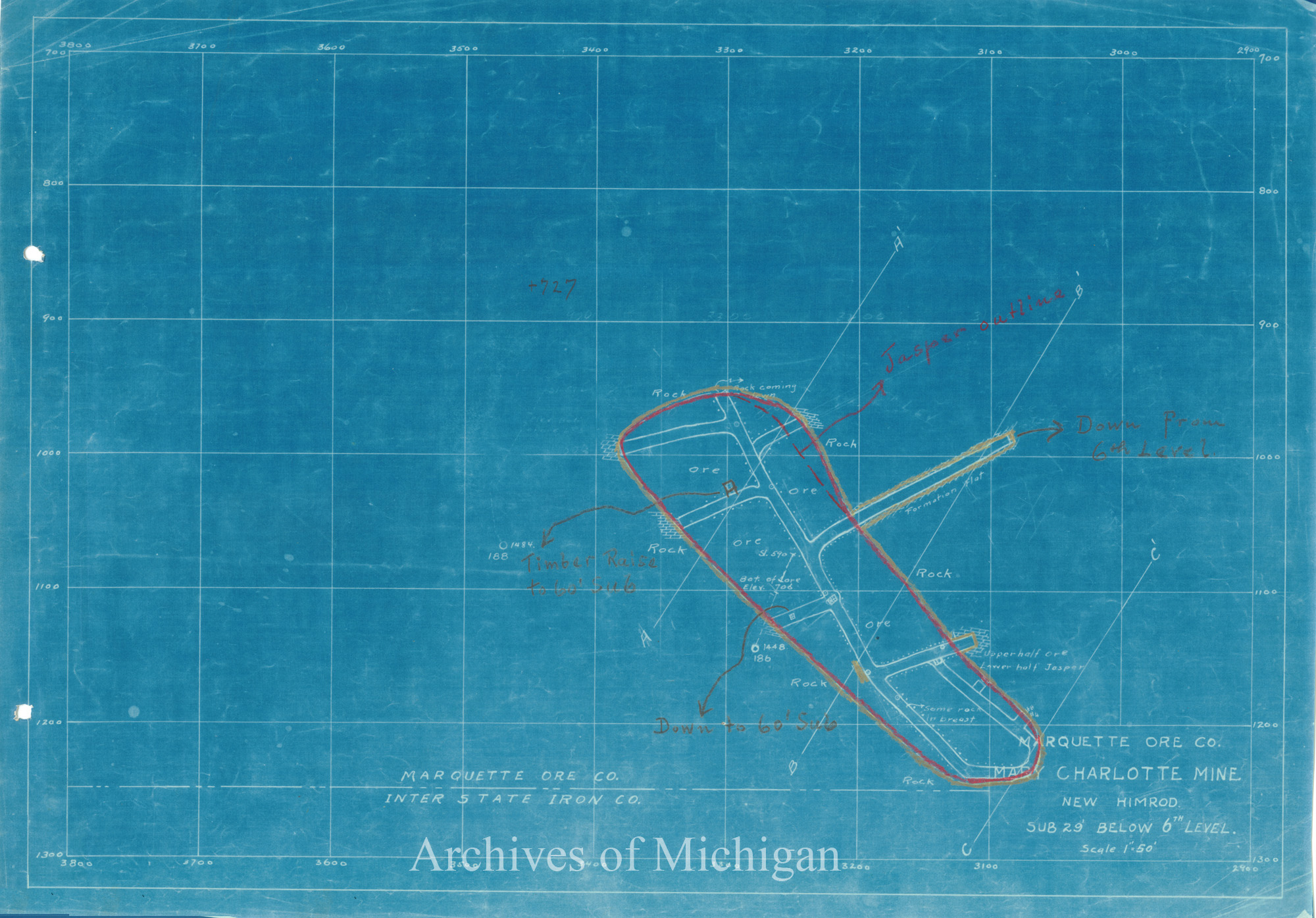
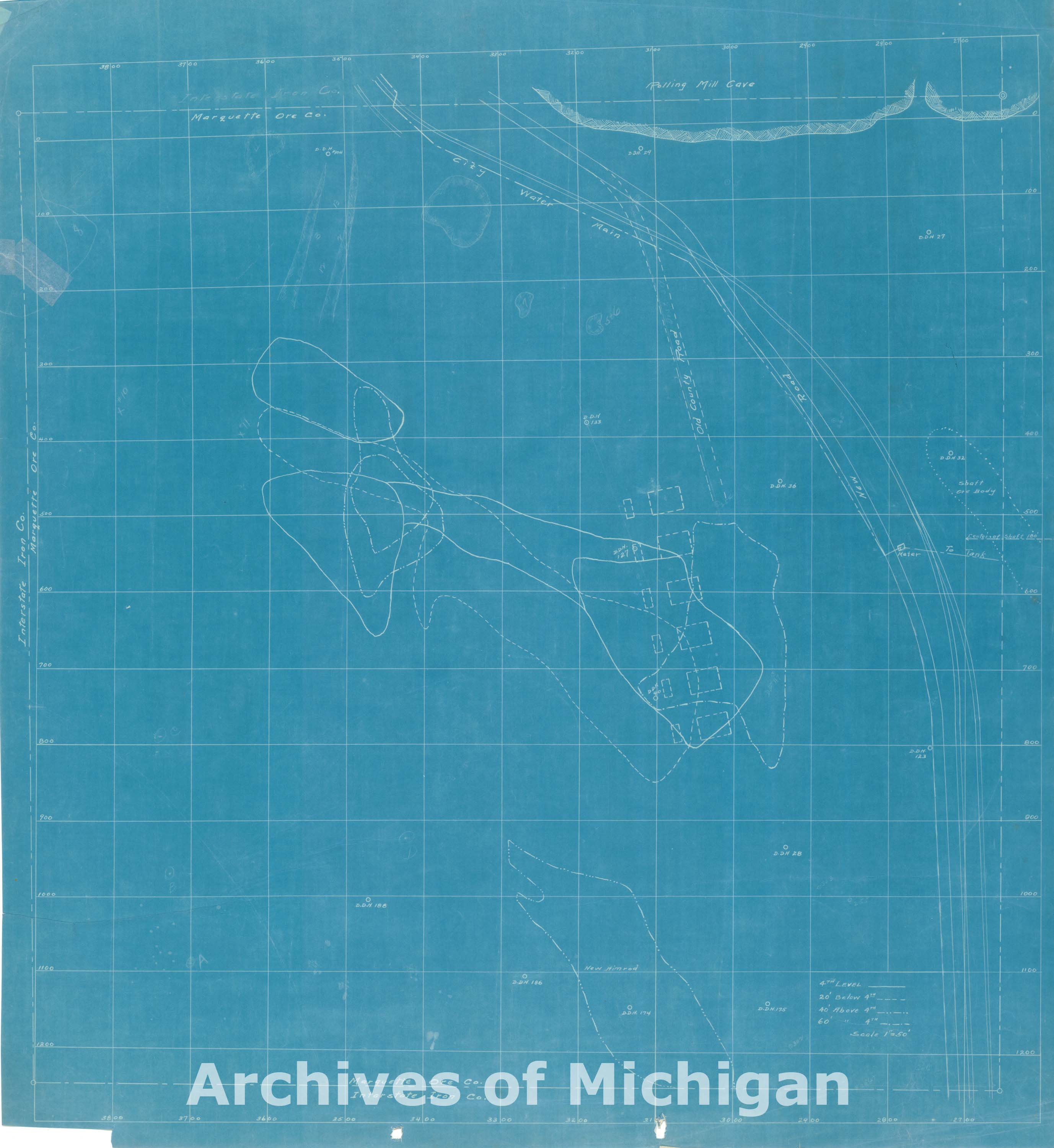
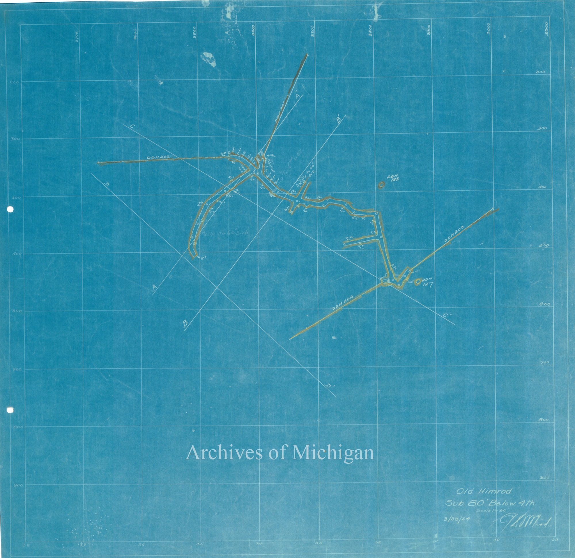
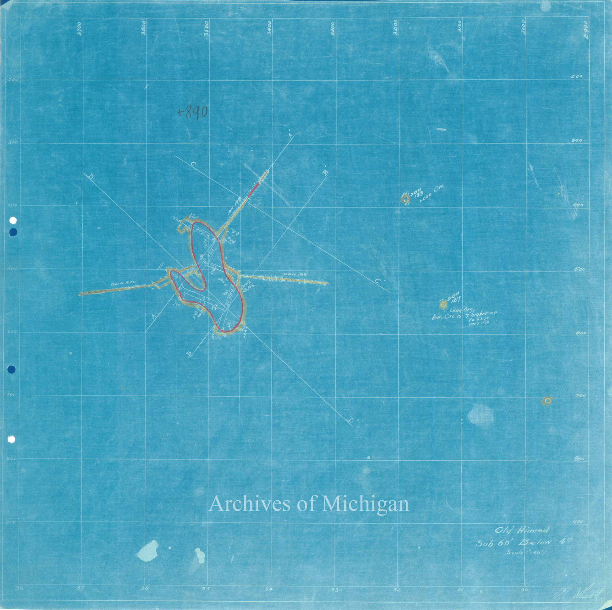
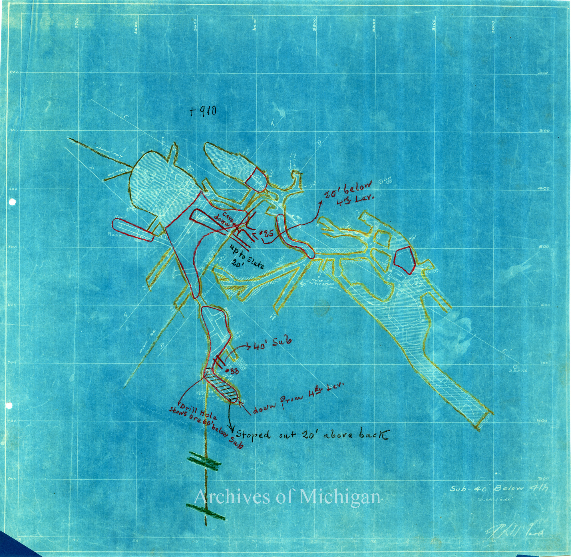
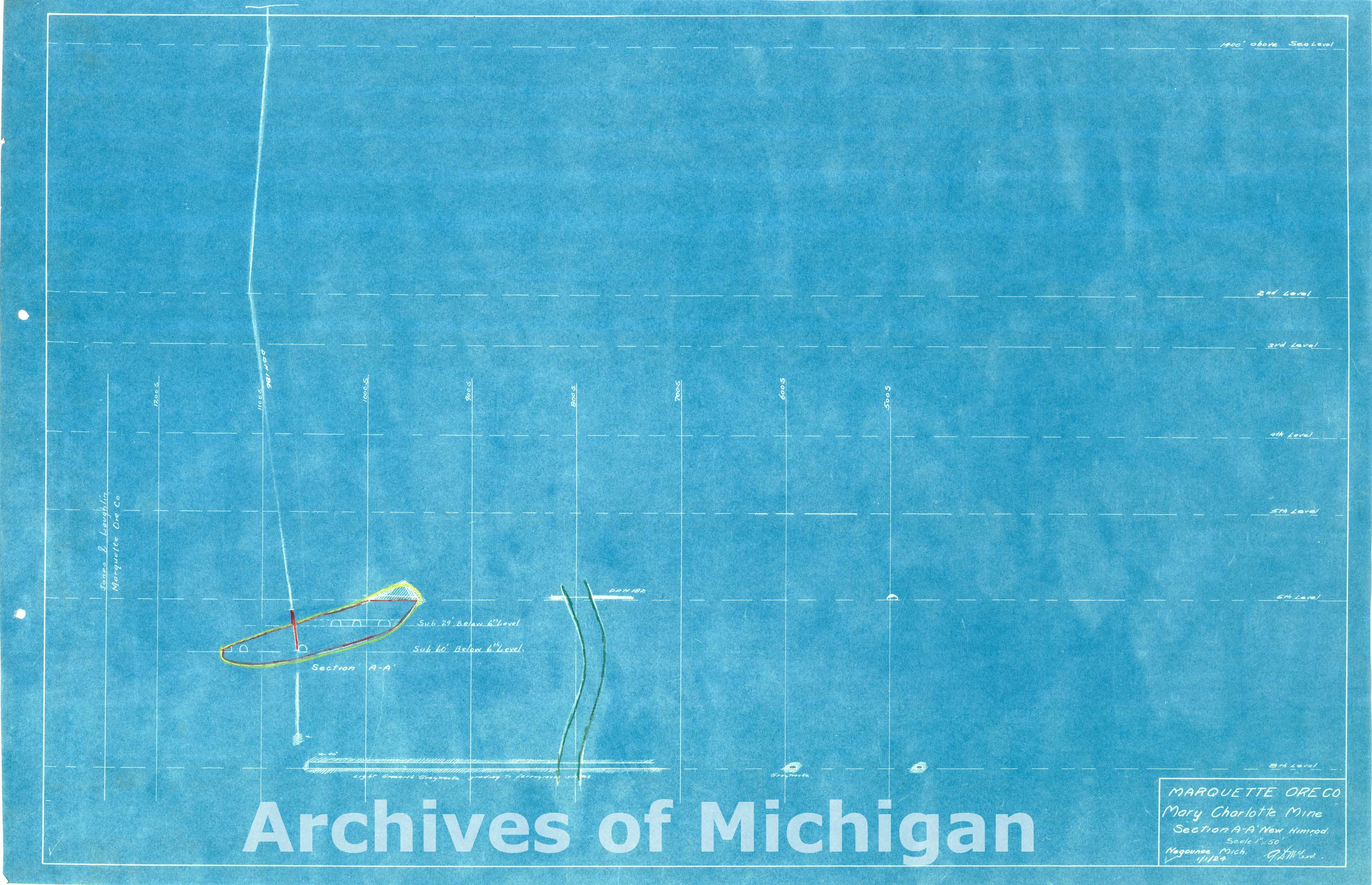
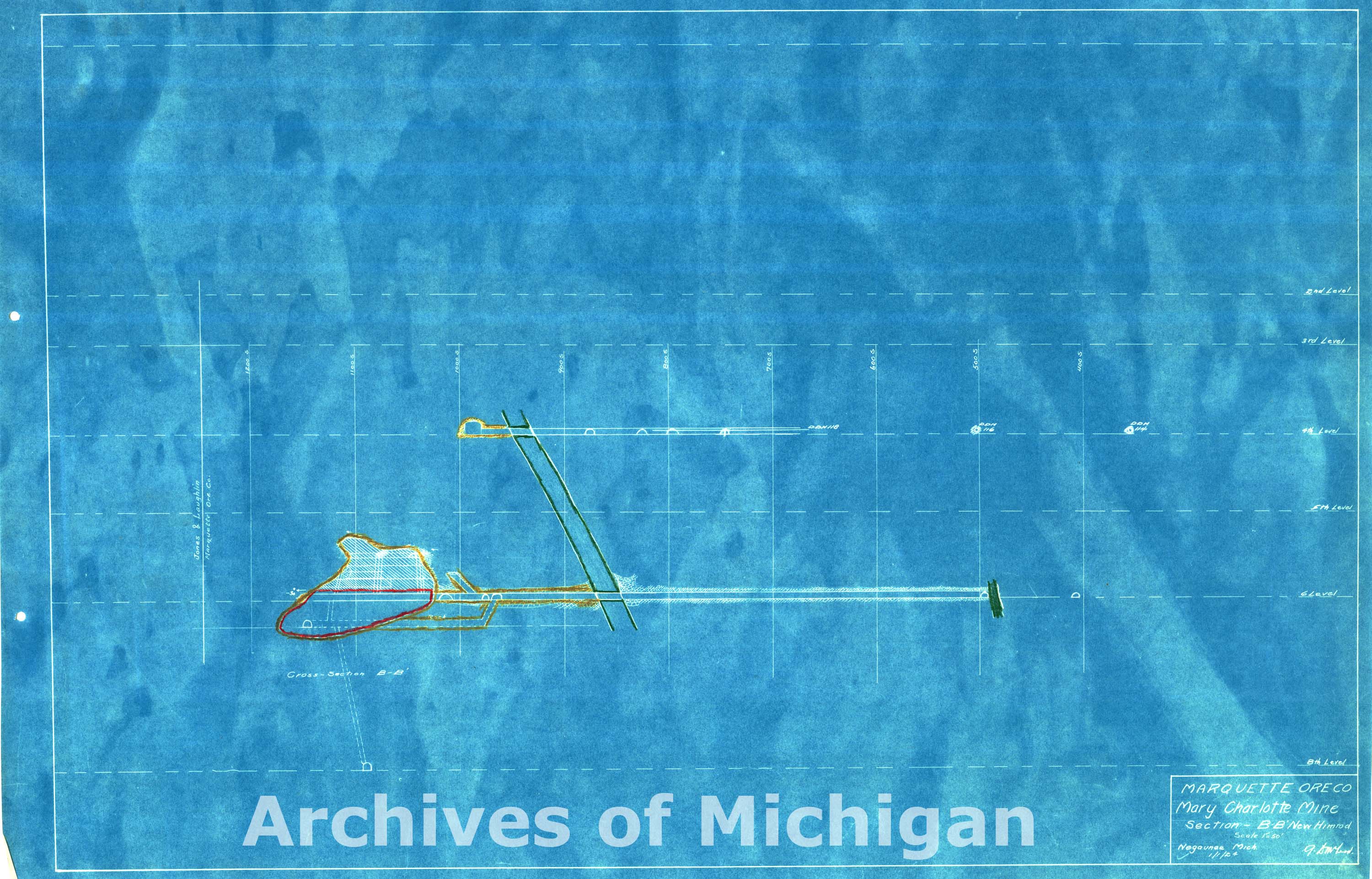
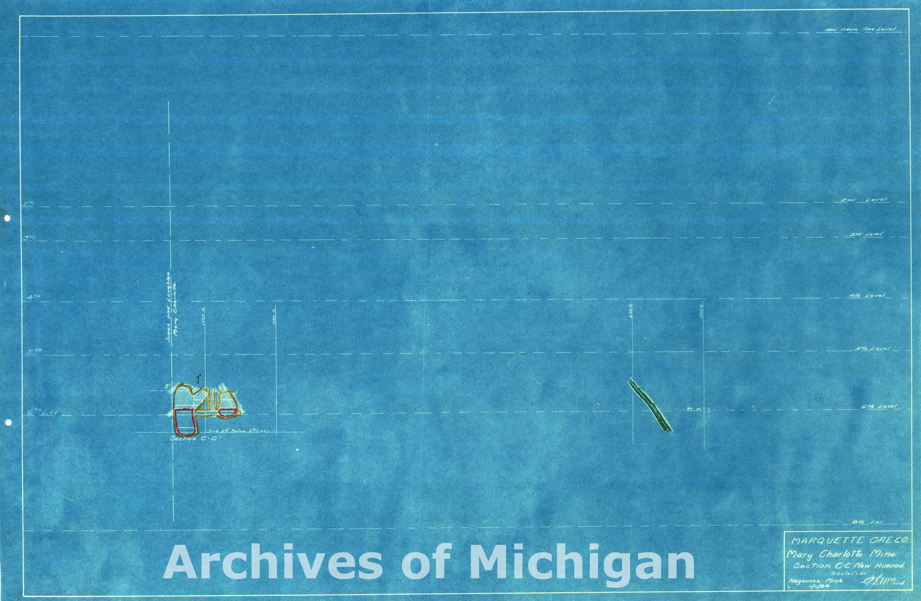
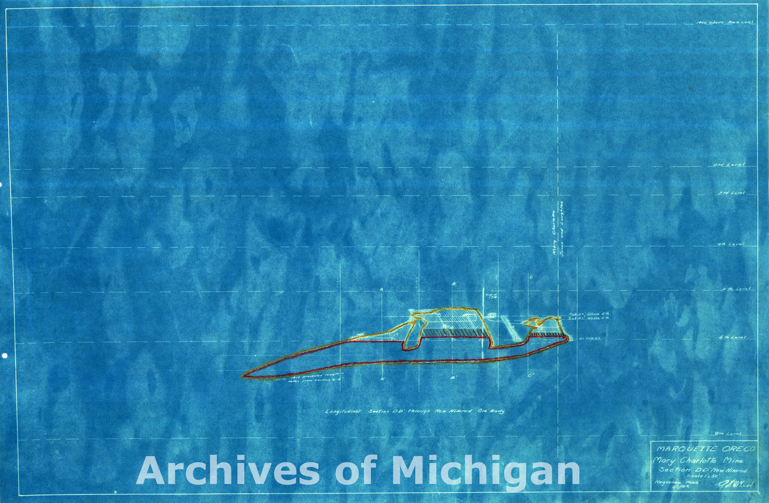
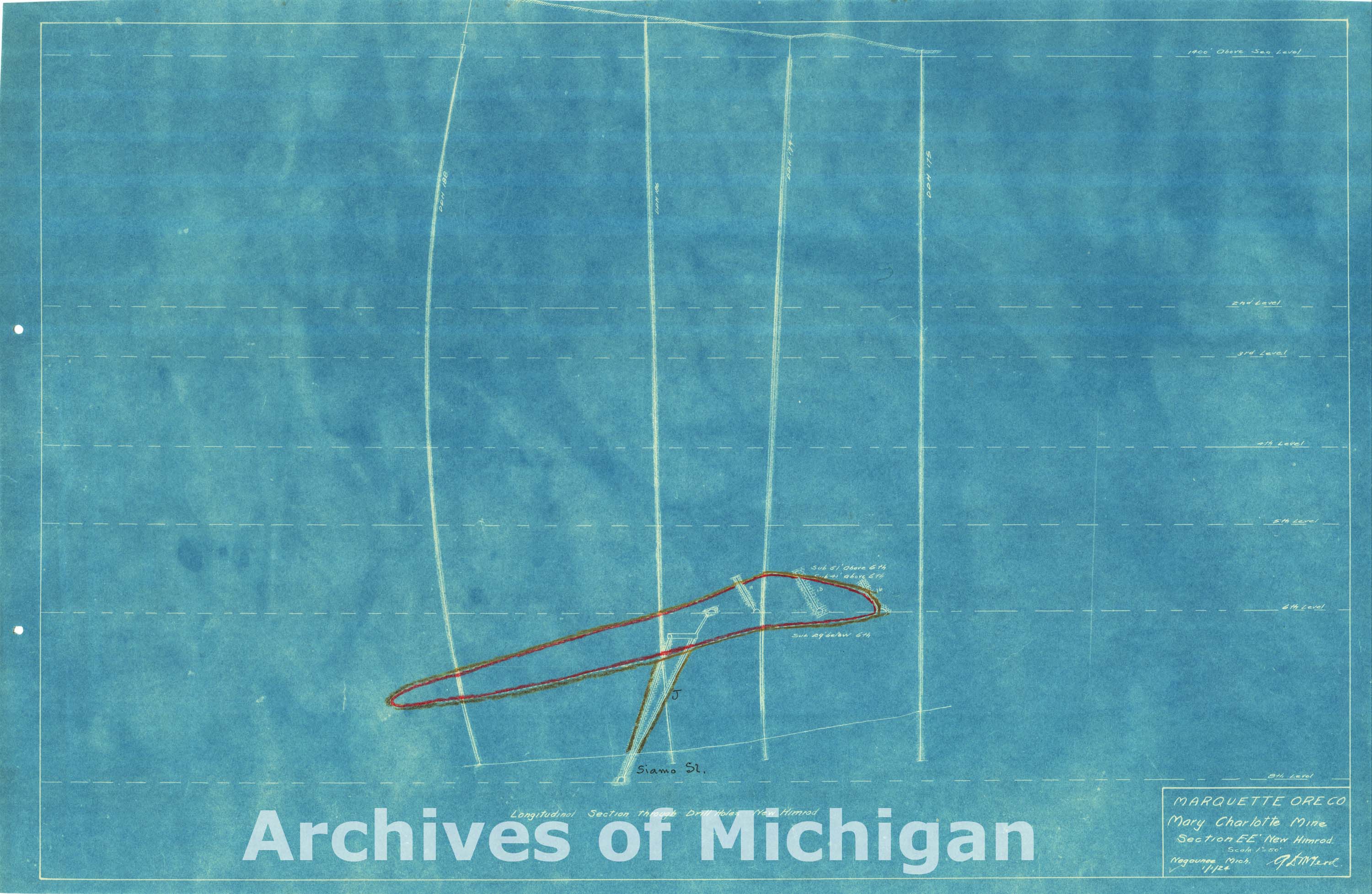
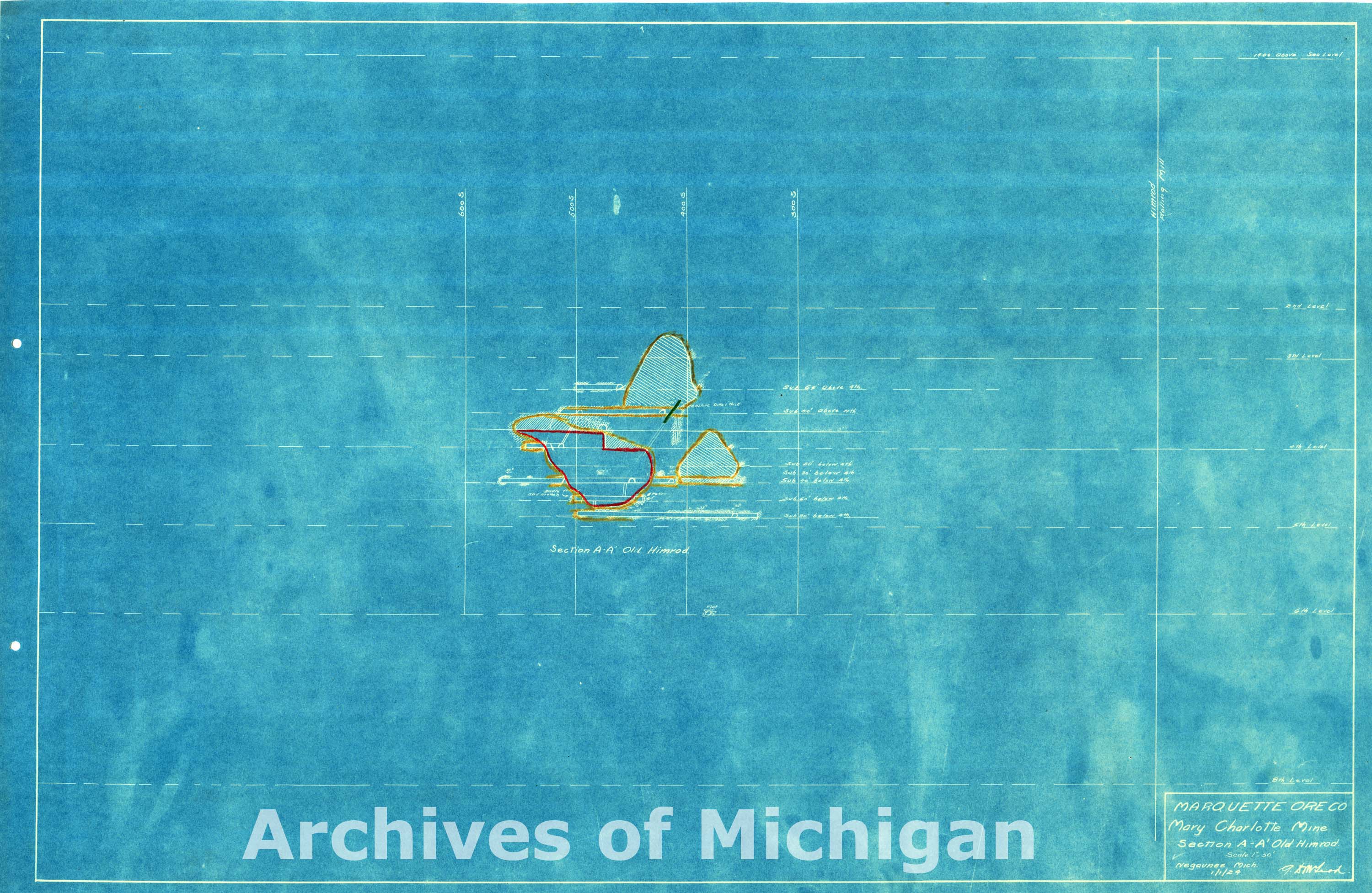
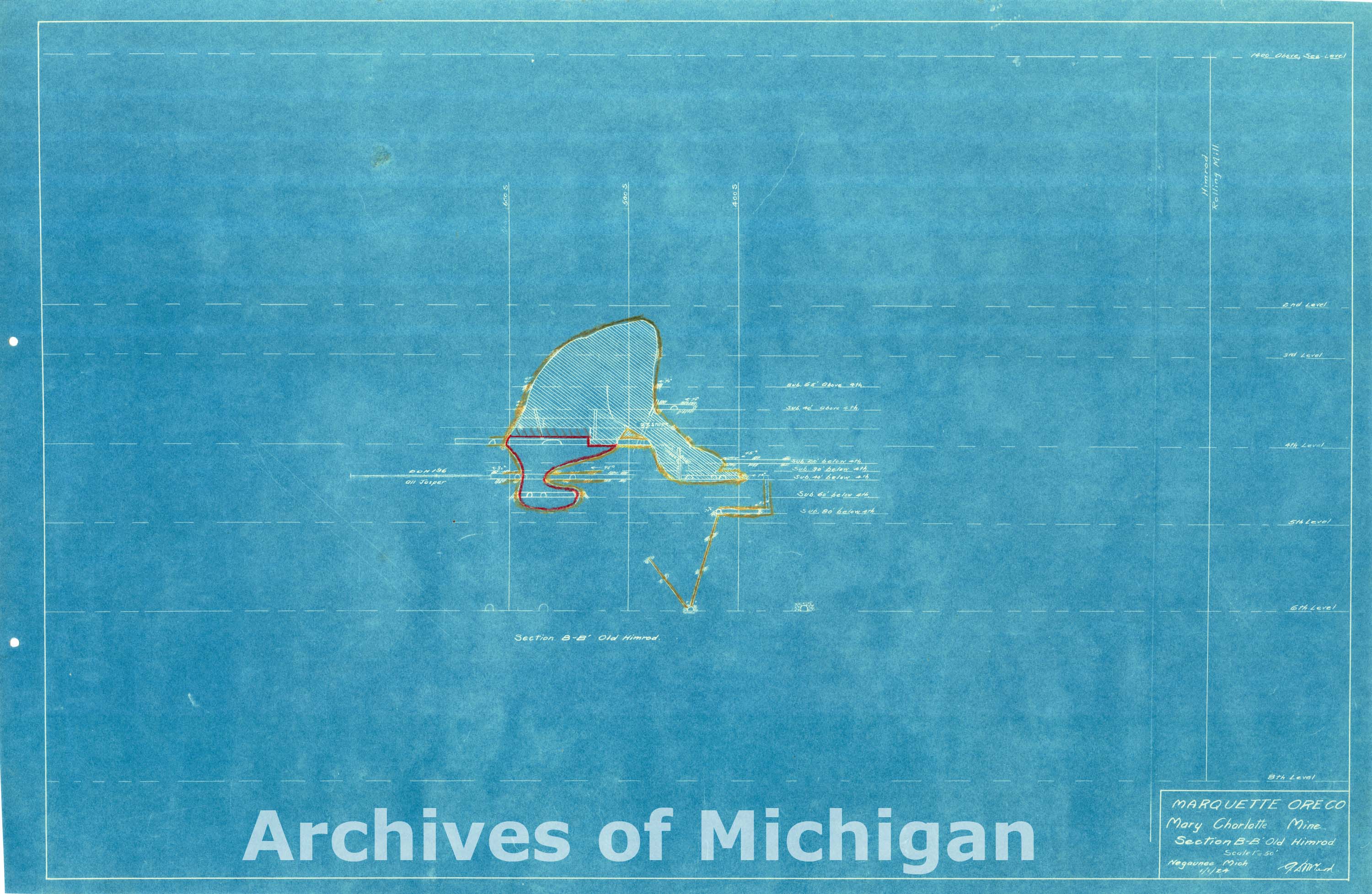
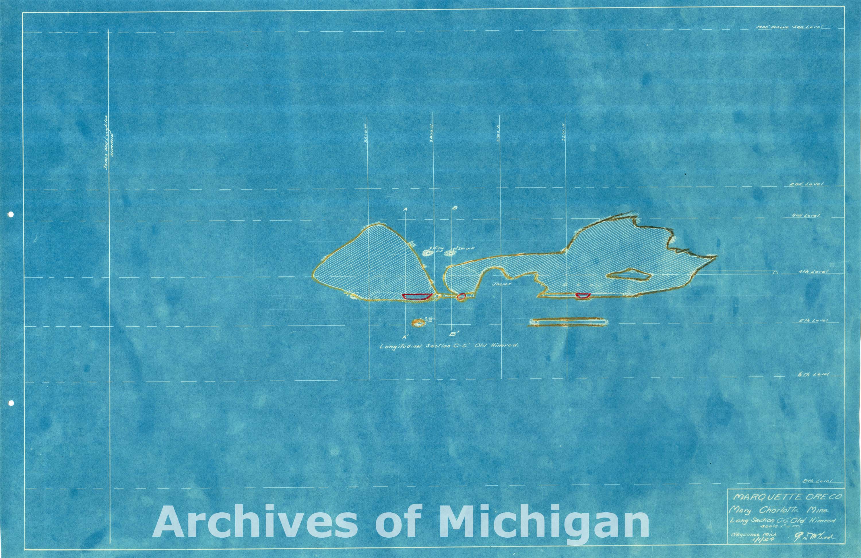
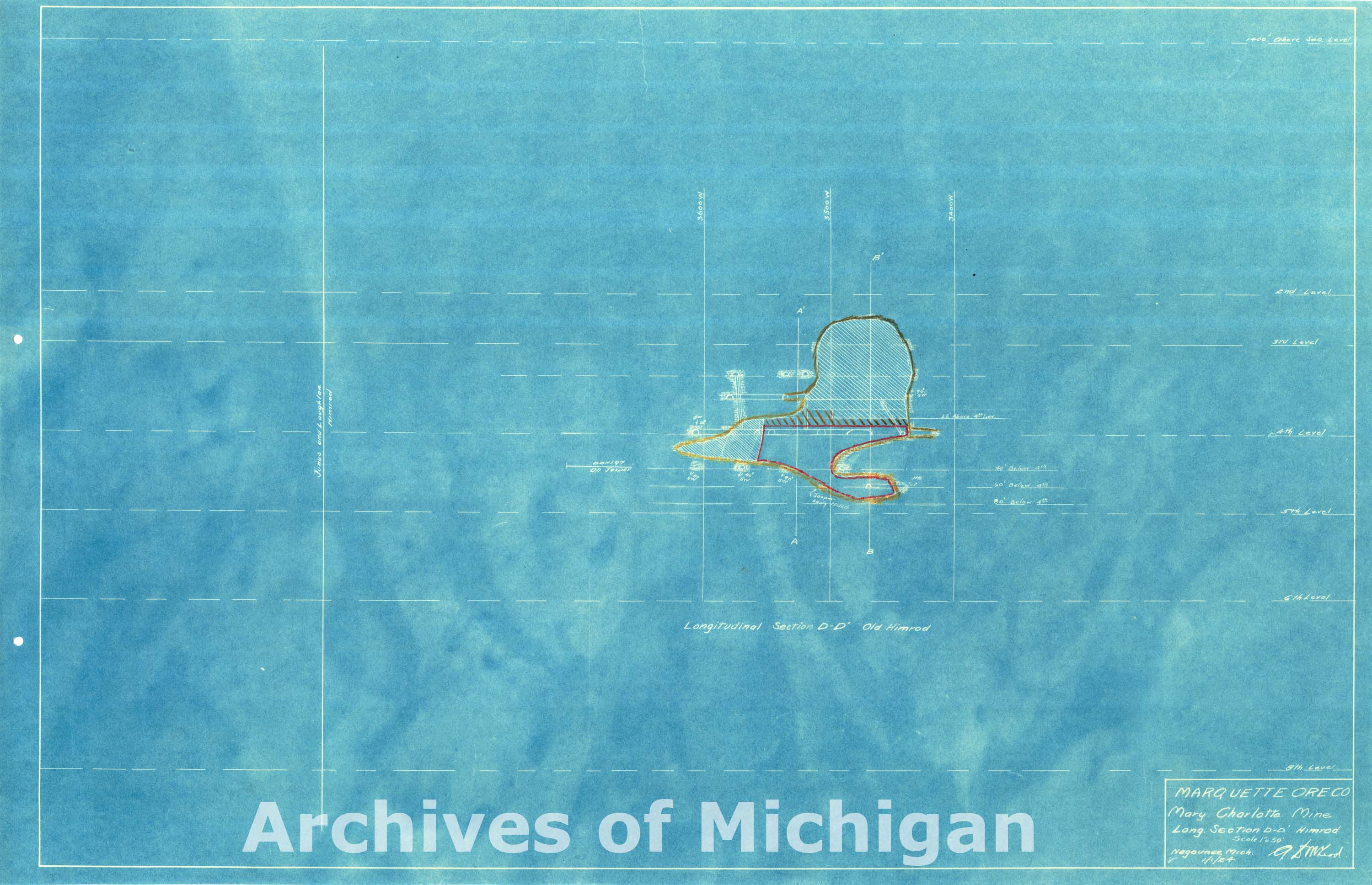
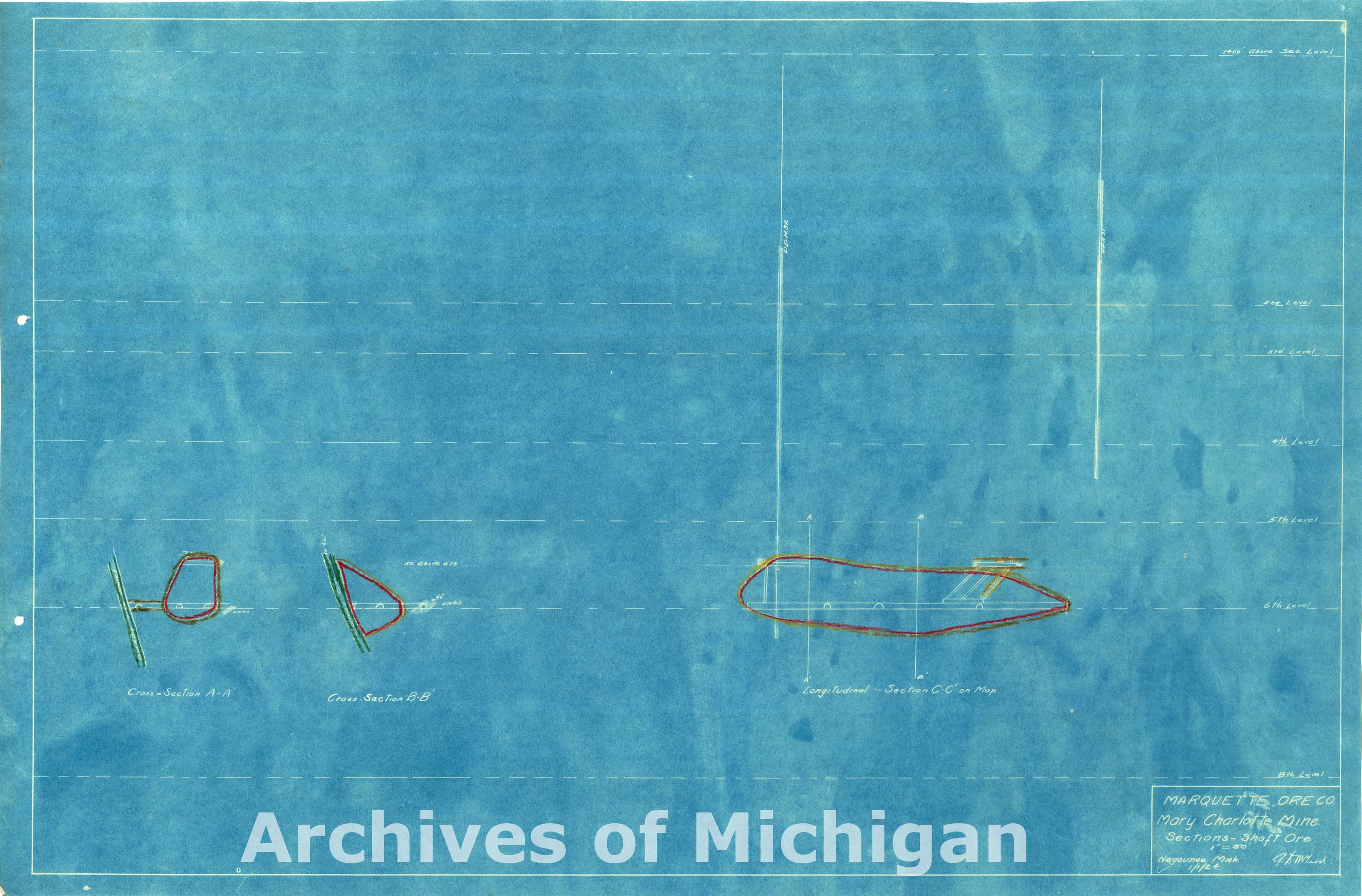
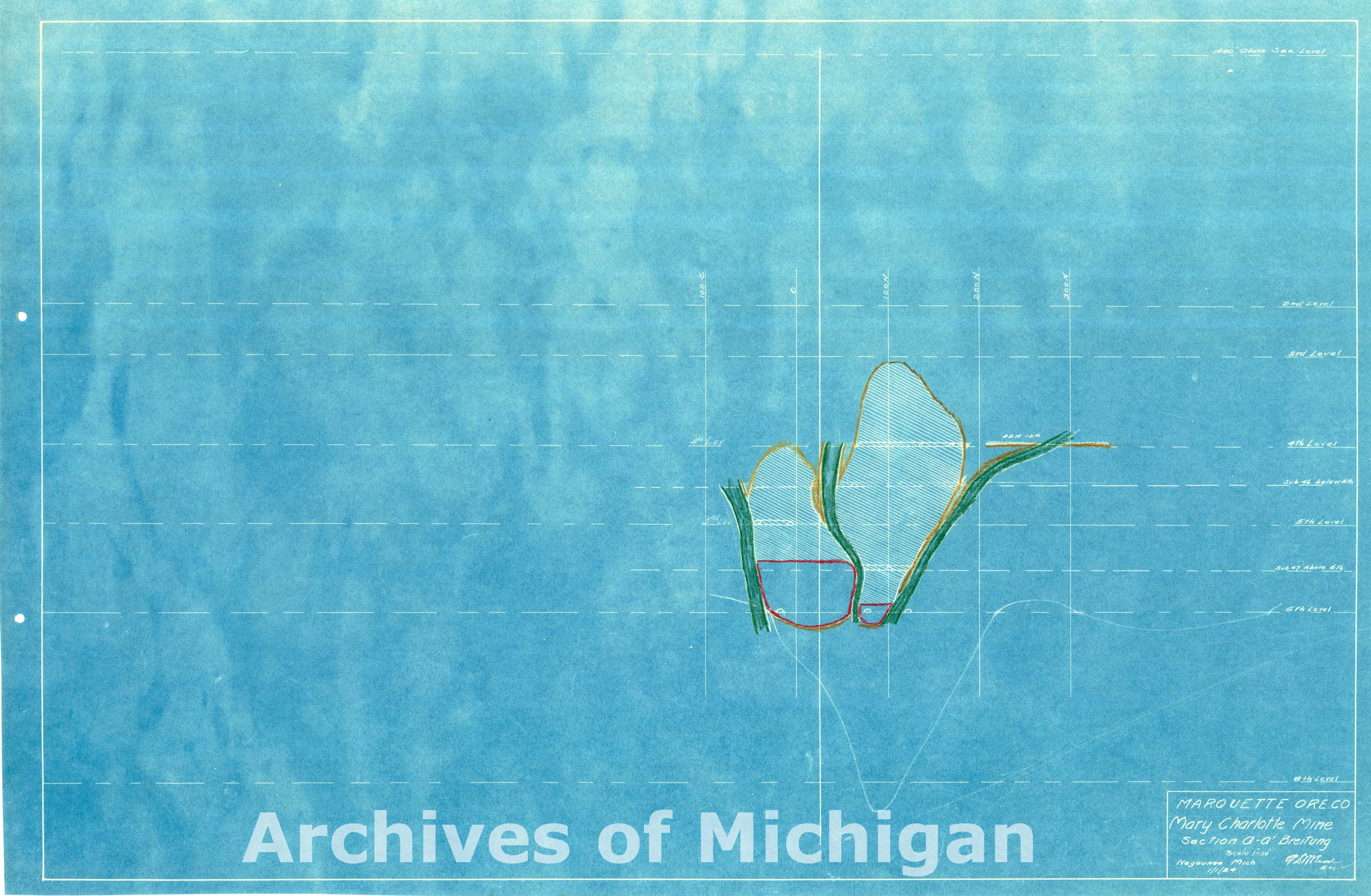
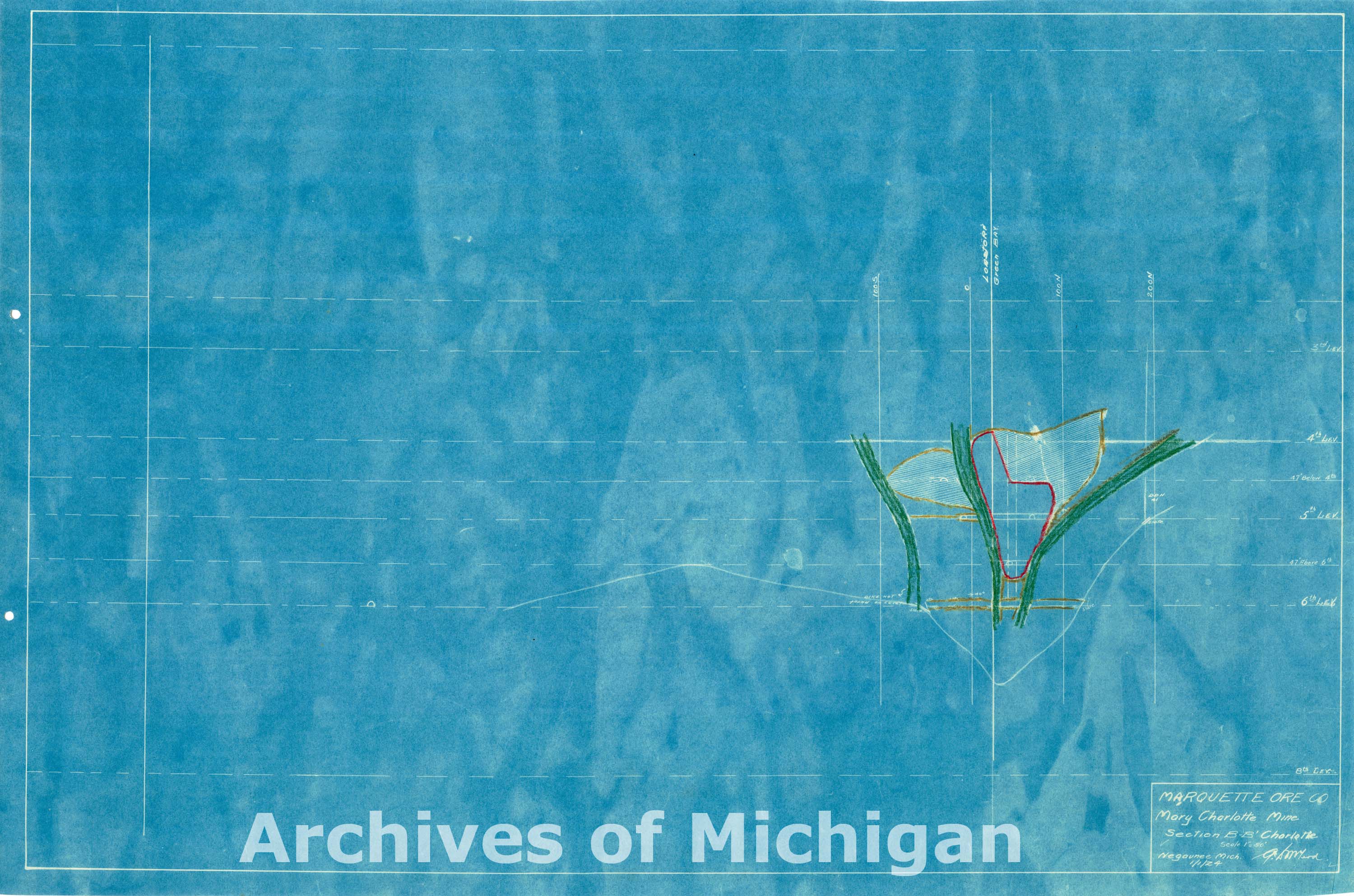
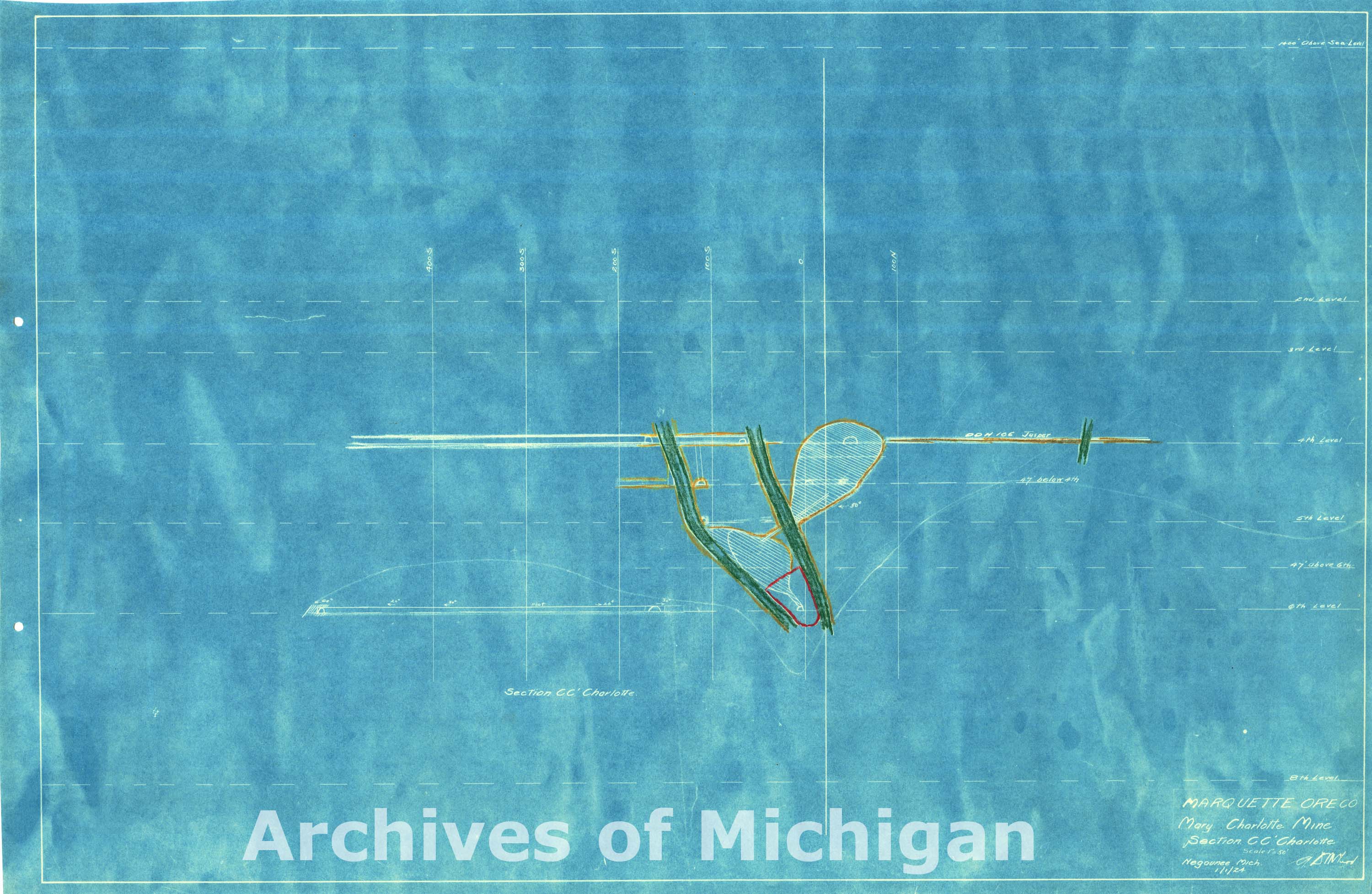
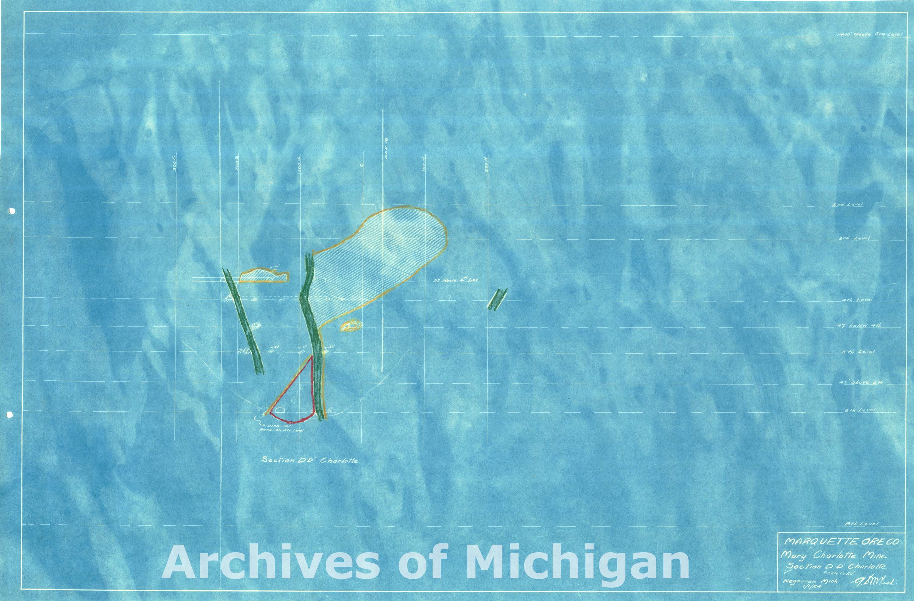
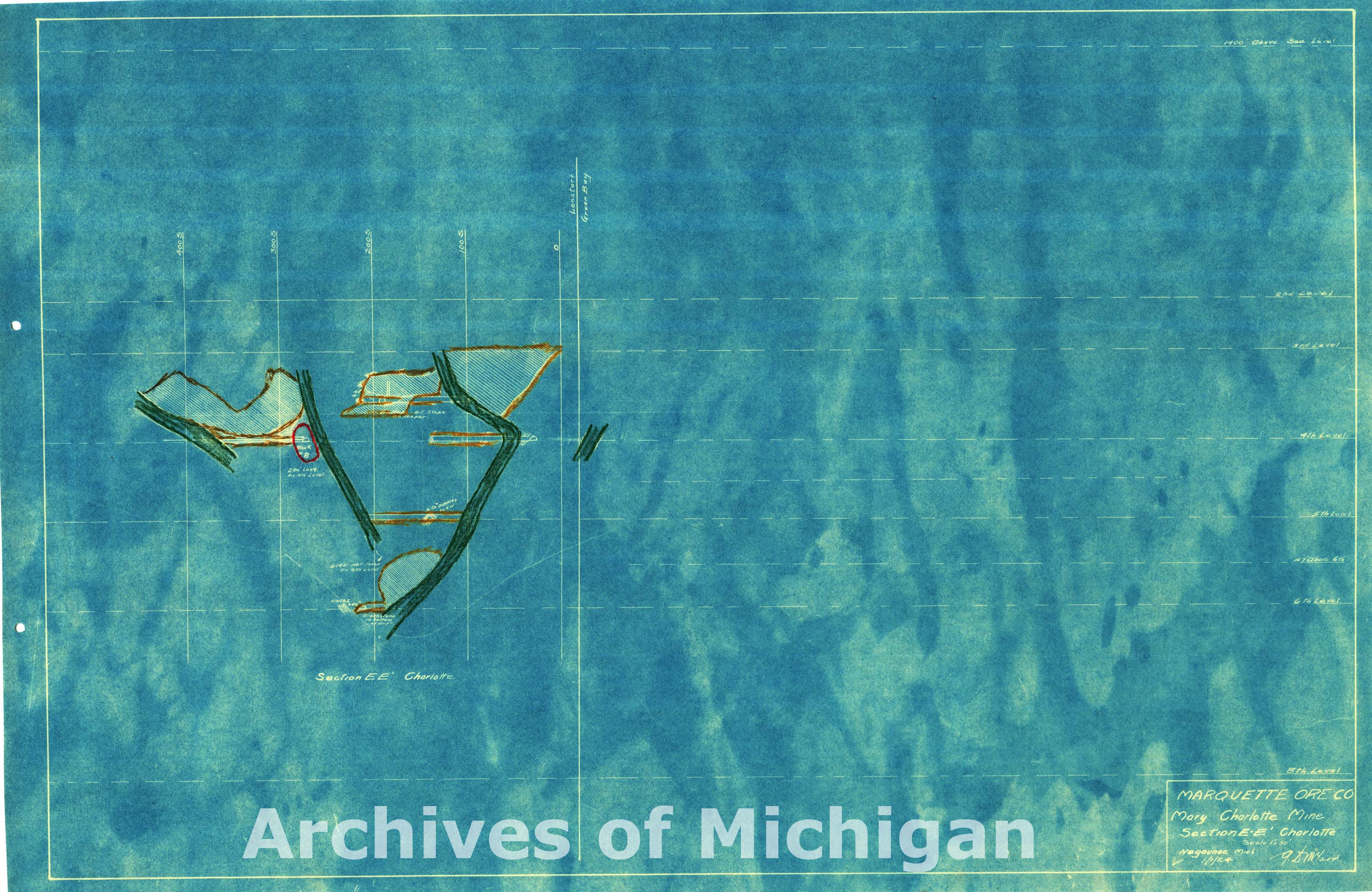
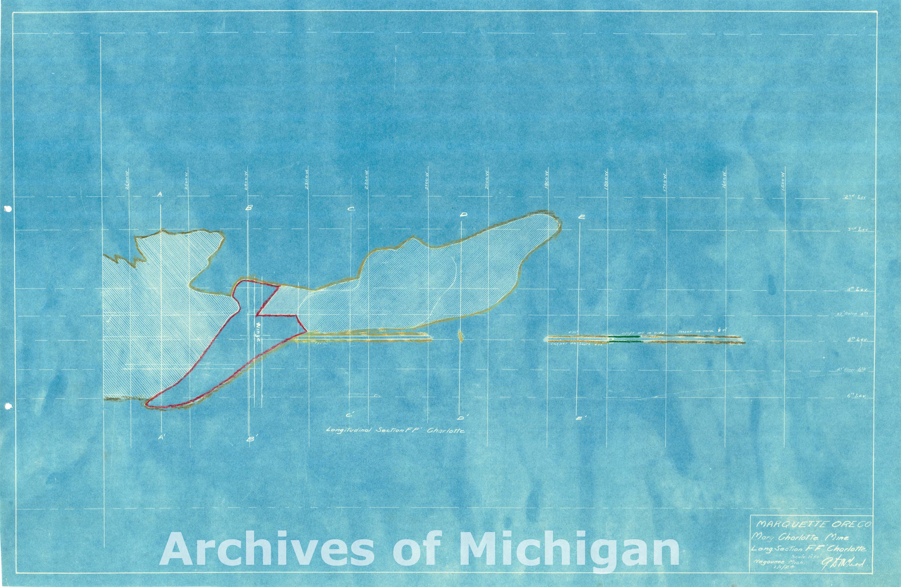
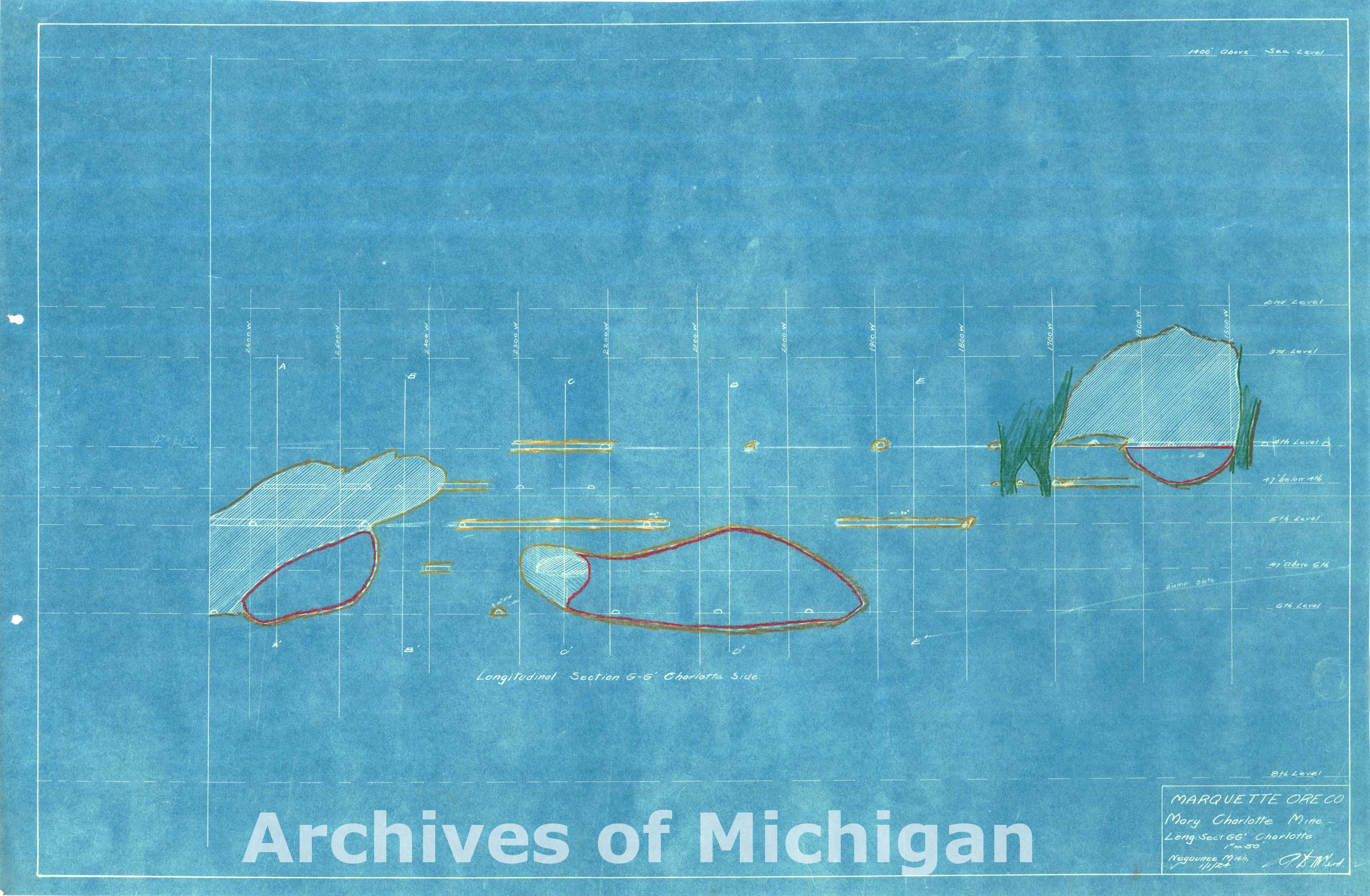
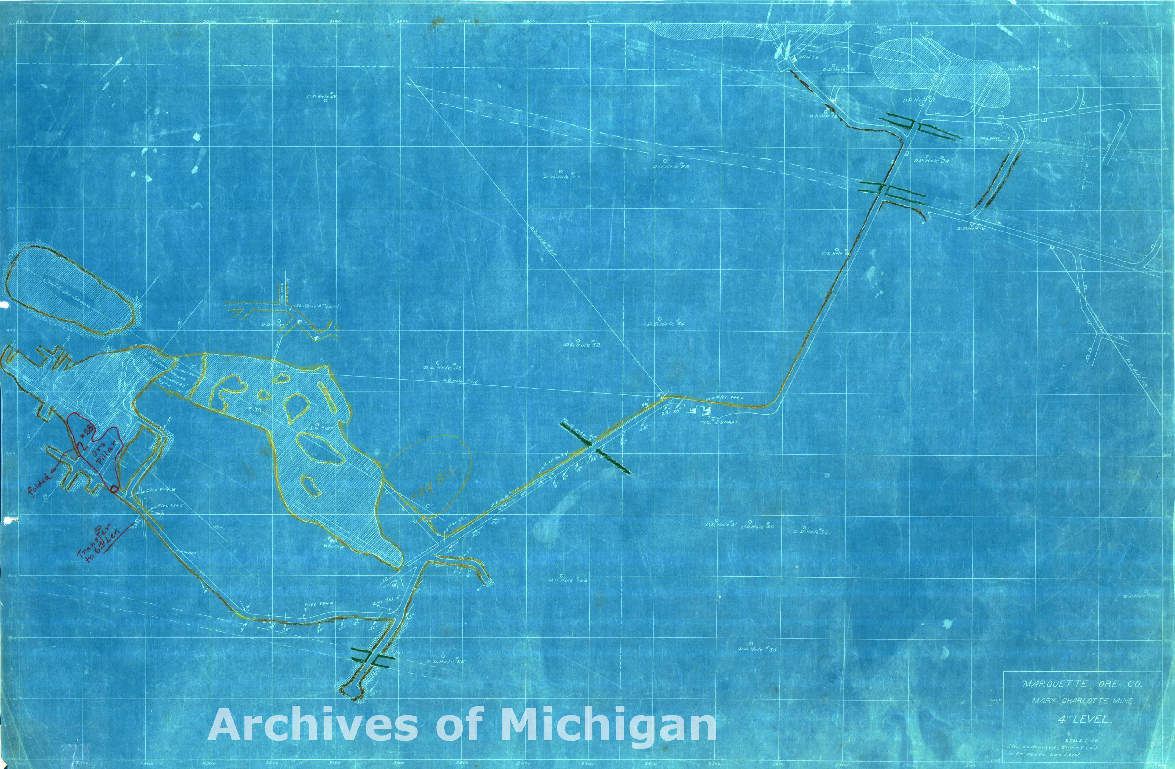
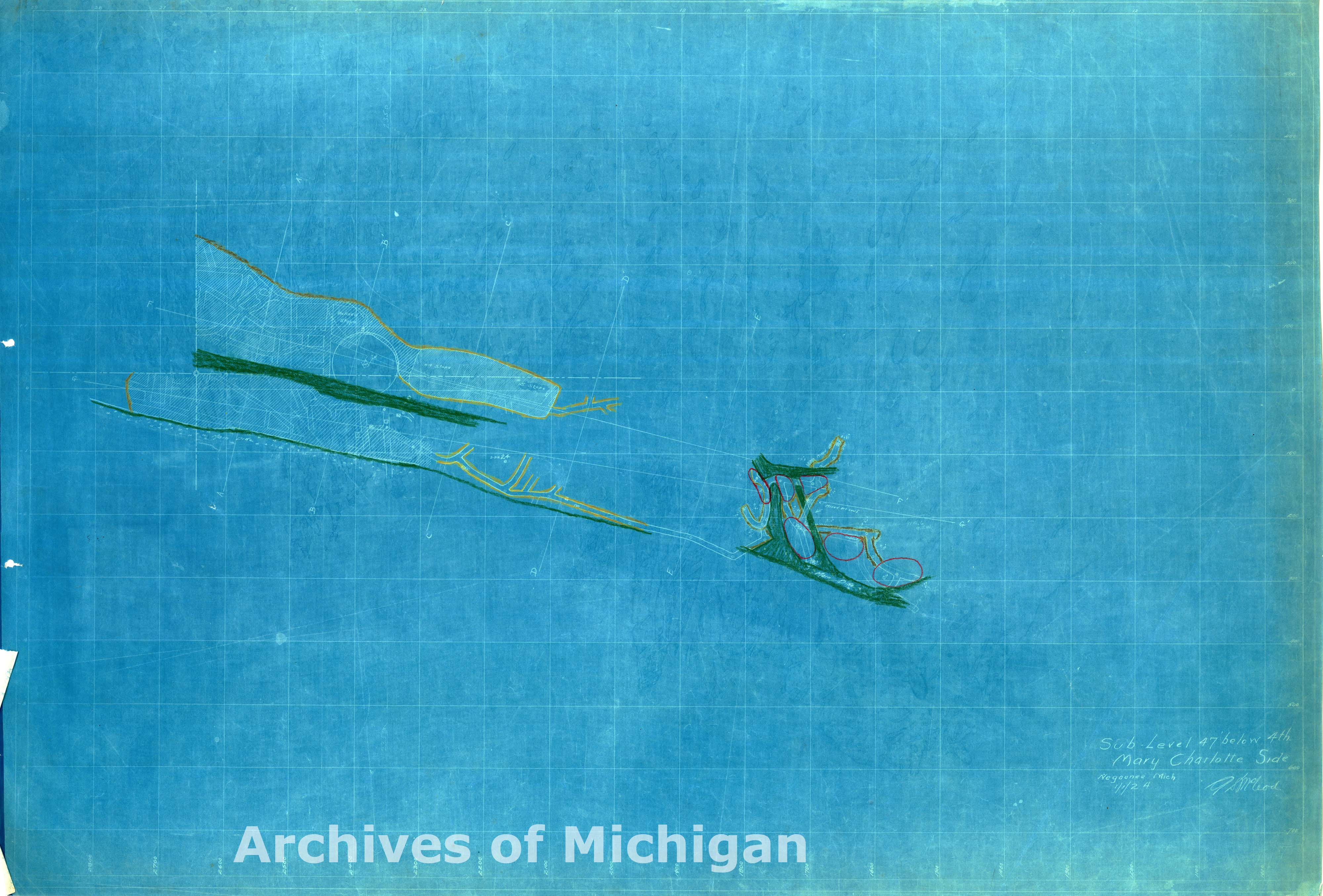
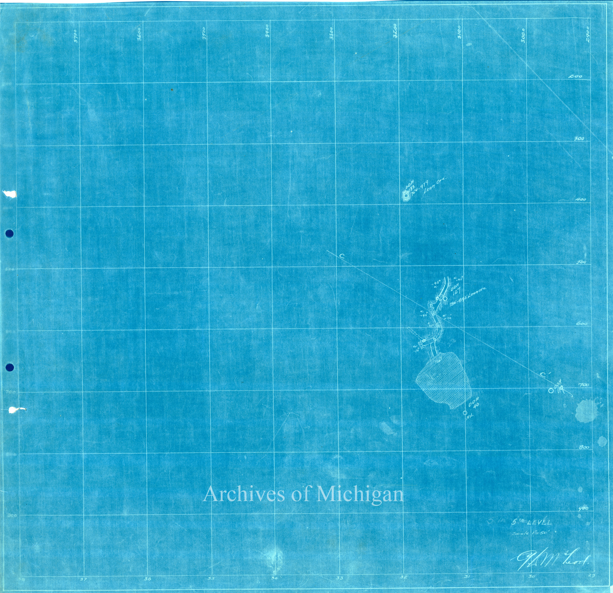
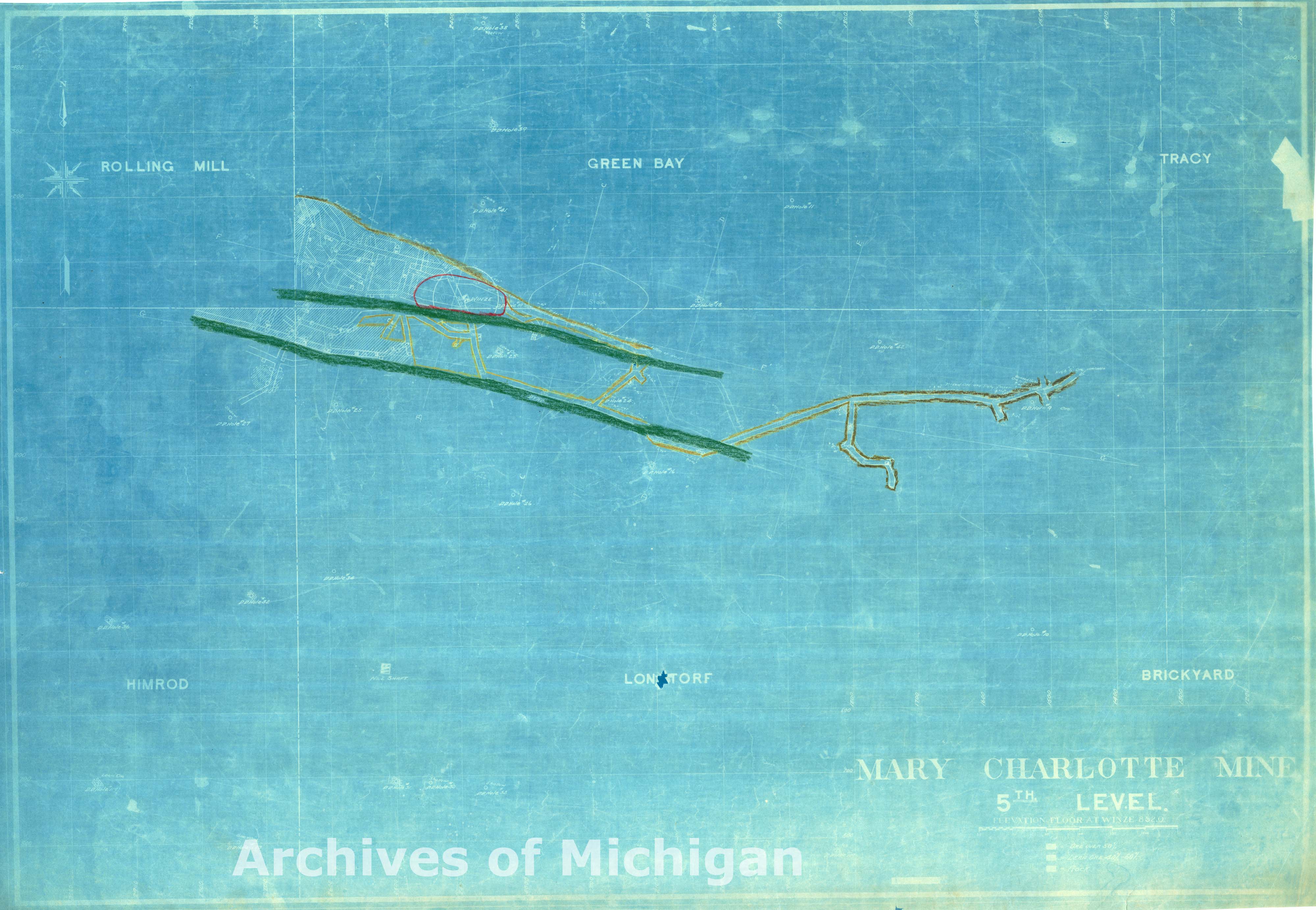
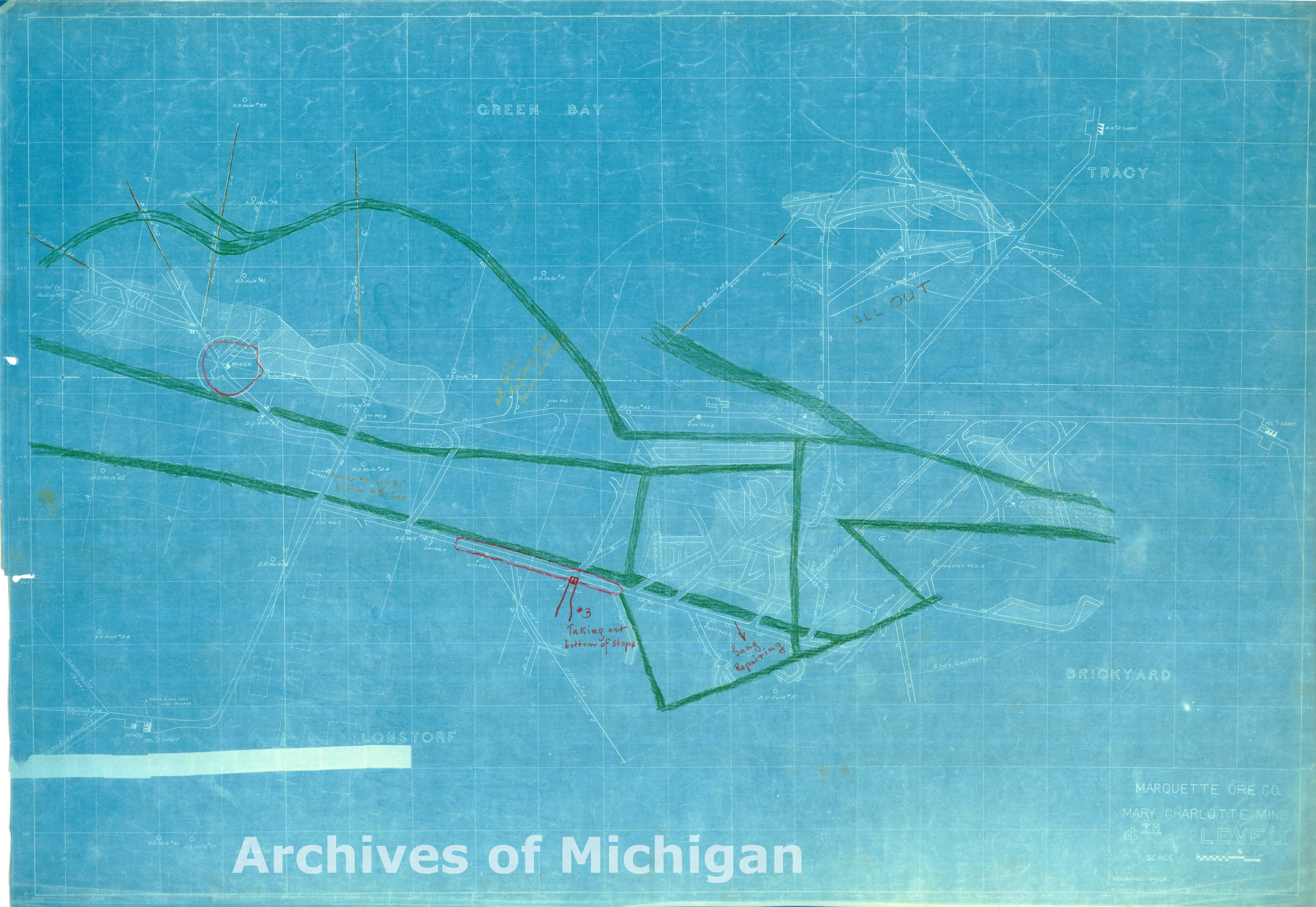
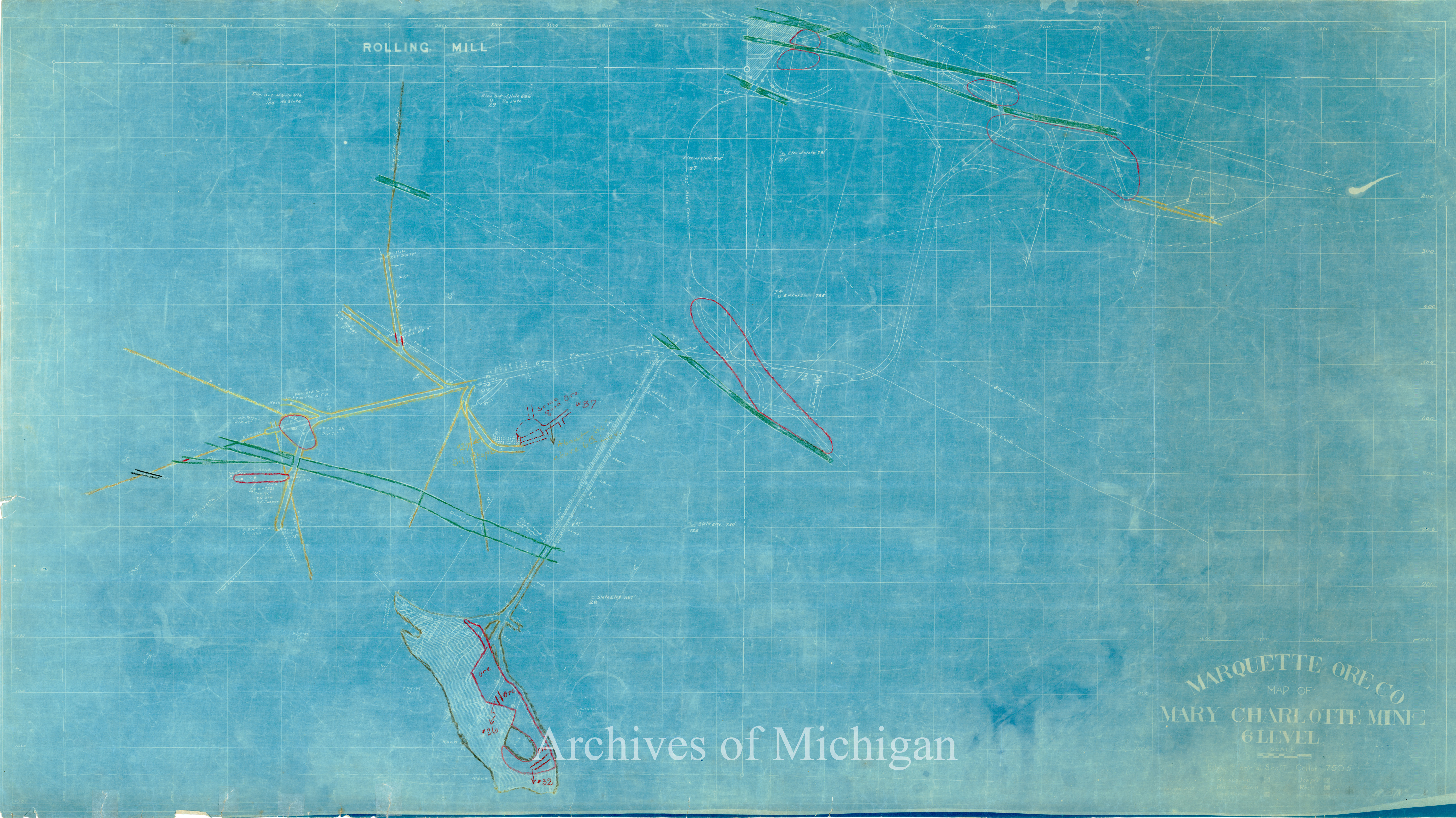
Plan of Mary Charlotte Mine (43 Maps) 1922 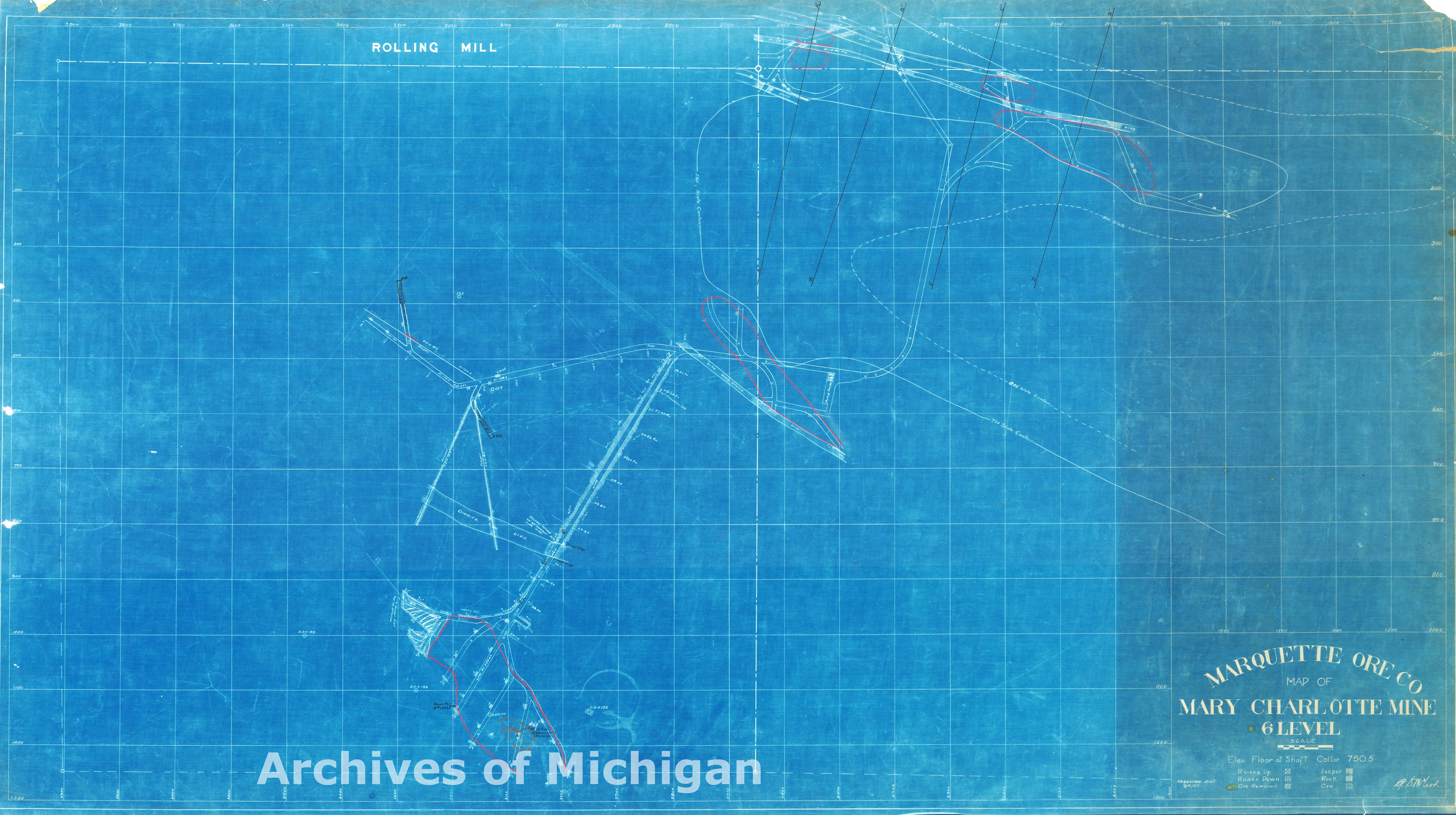

|
||||||||||||||||
|
Plan of Mary Charlotte Mine (36 Maps) 1923 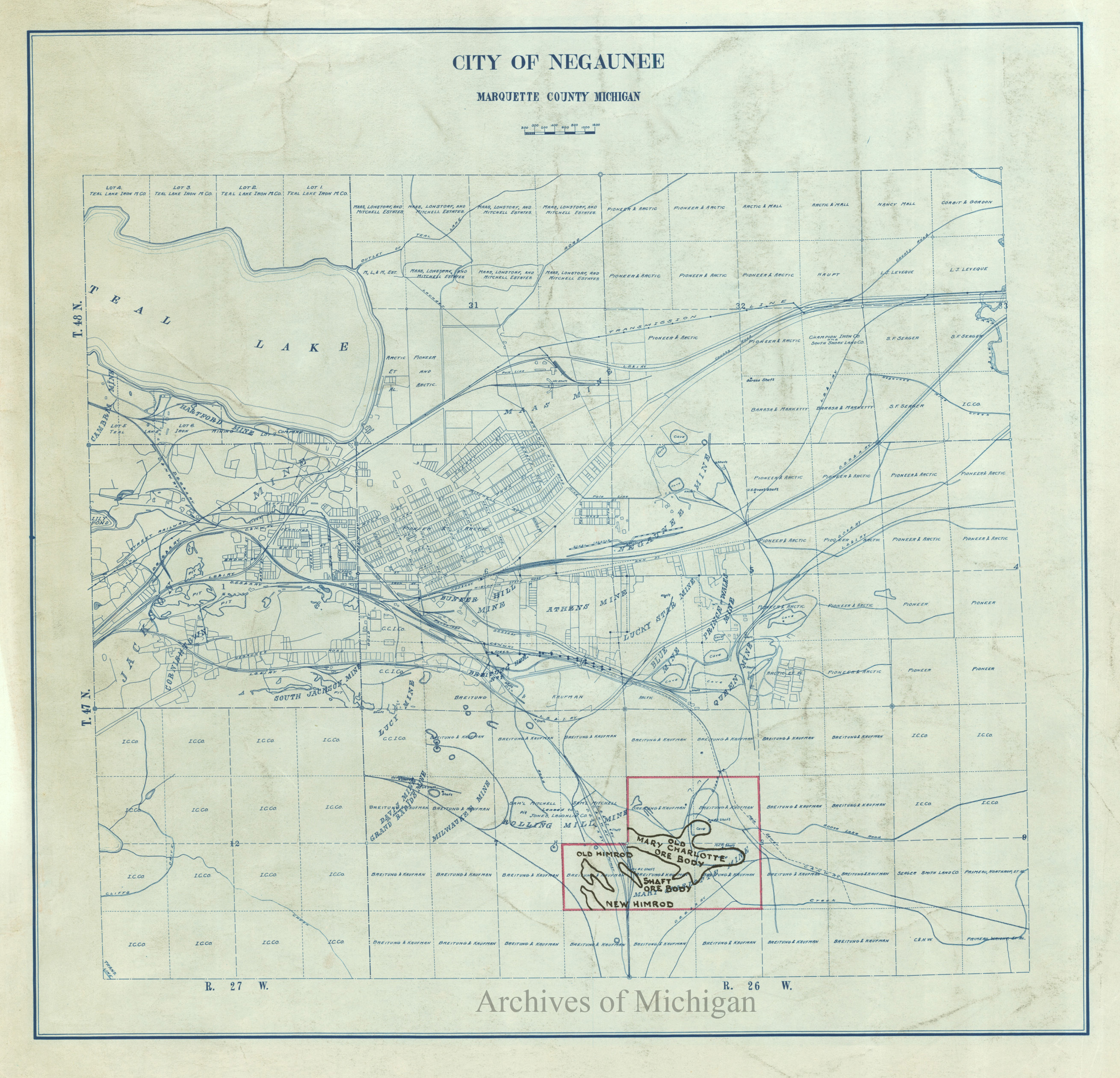


|
||||||||||||||||
|
Lake Superior Iron Company (showing mineral rights), Marquette County 1921 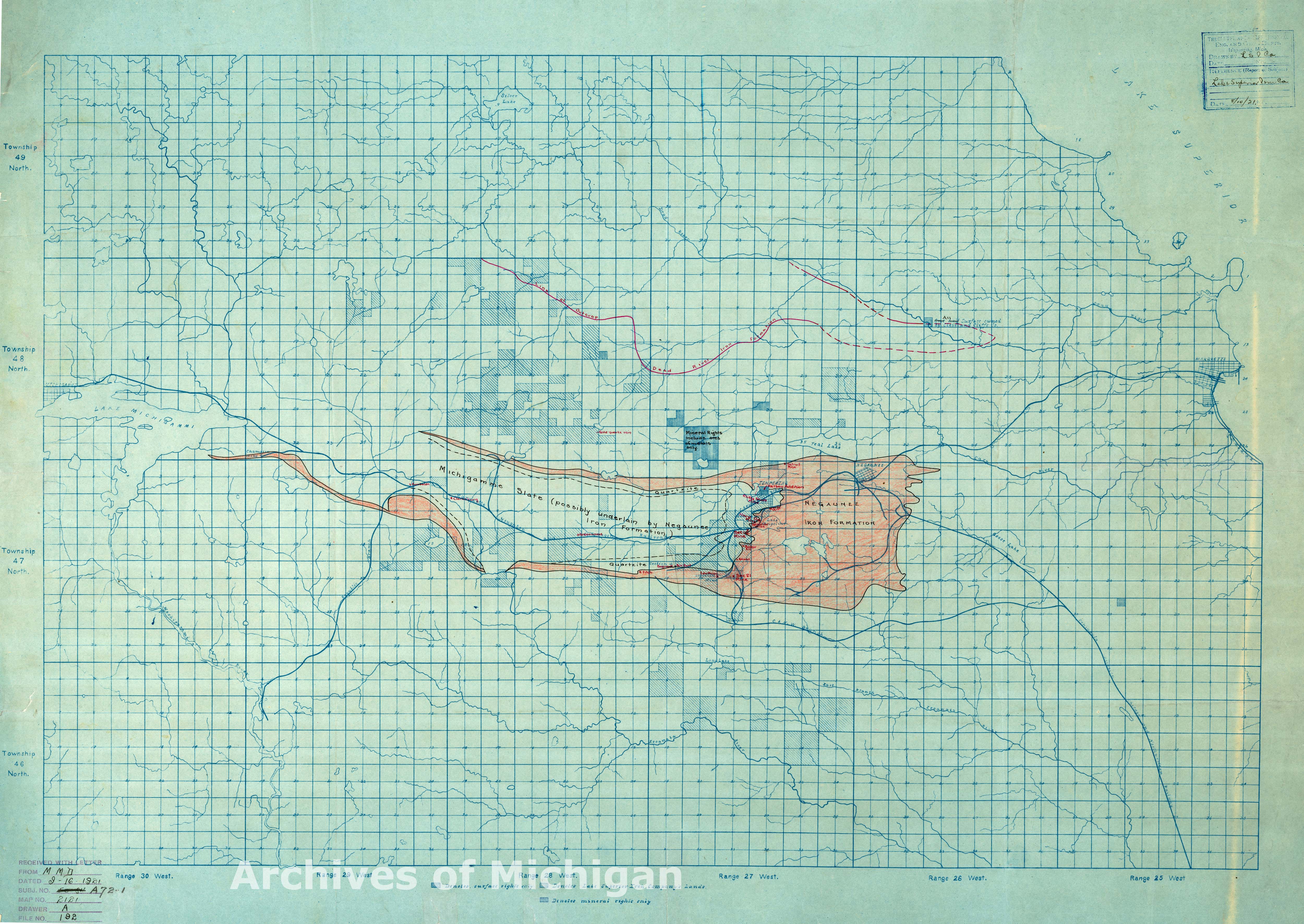
|
||||||||||||||||
|
Lake Superior Iron Company Diamond Drill Holes on S. Half NW Quarter Sec. 10 T 47, NR 27 1929 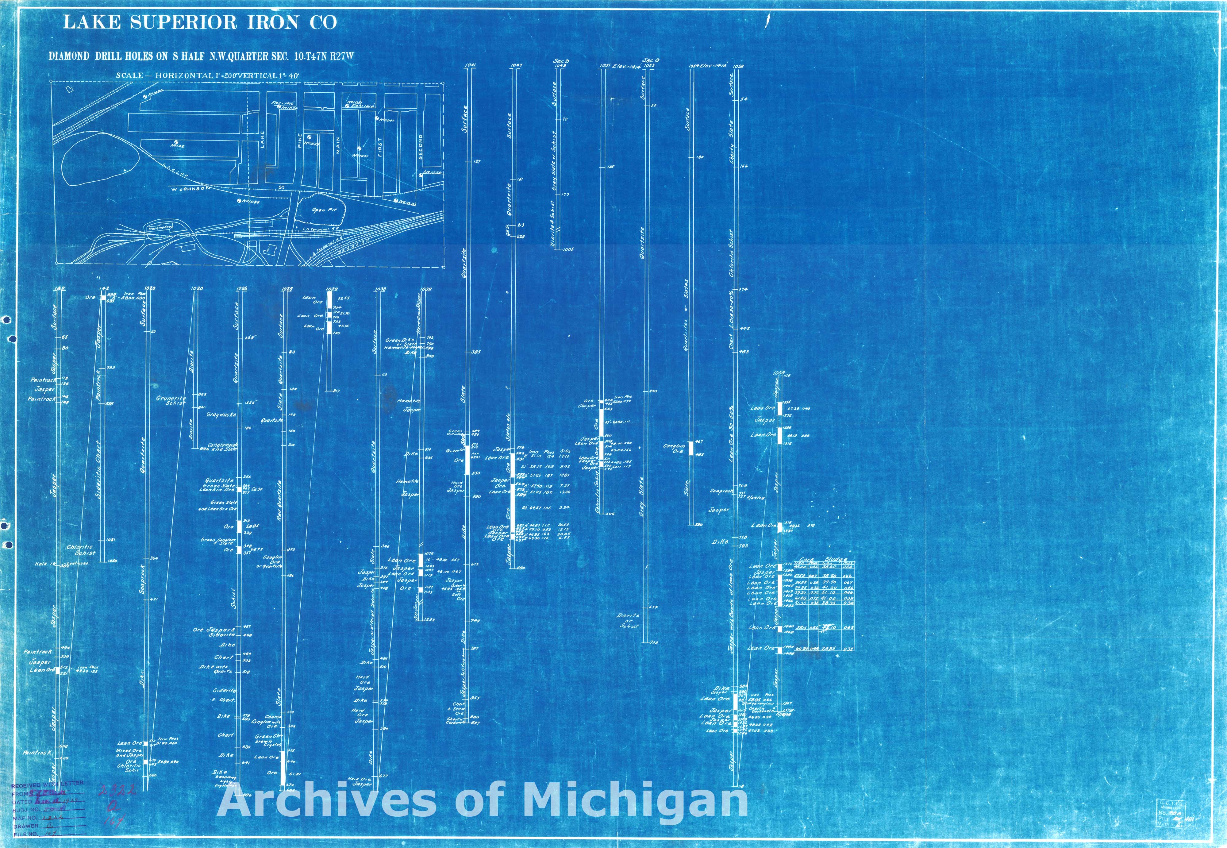
|
||||||||||||||||
|
Jackson Mine N 1/2 of the SW 1/2 of Section 1 Geological, Negaunee Township 1906 
|
||||||||||||||||
|
Jackson Mine Section 1 T .47N R.27W., Negaunee Township1907 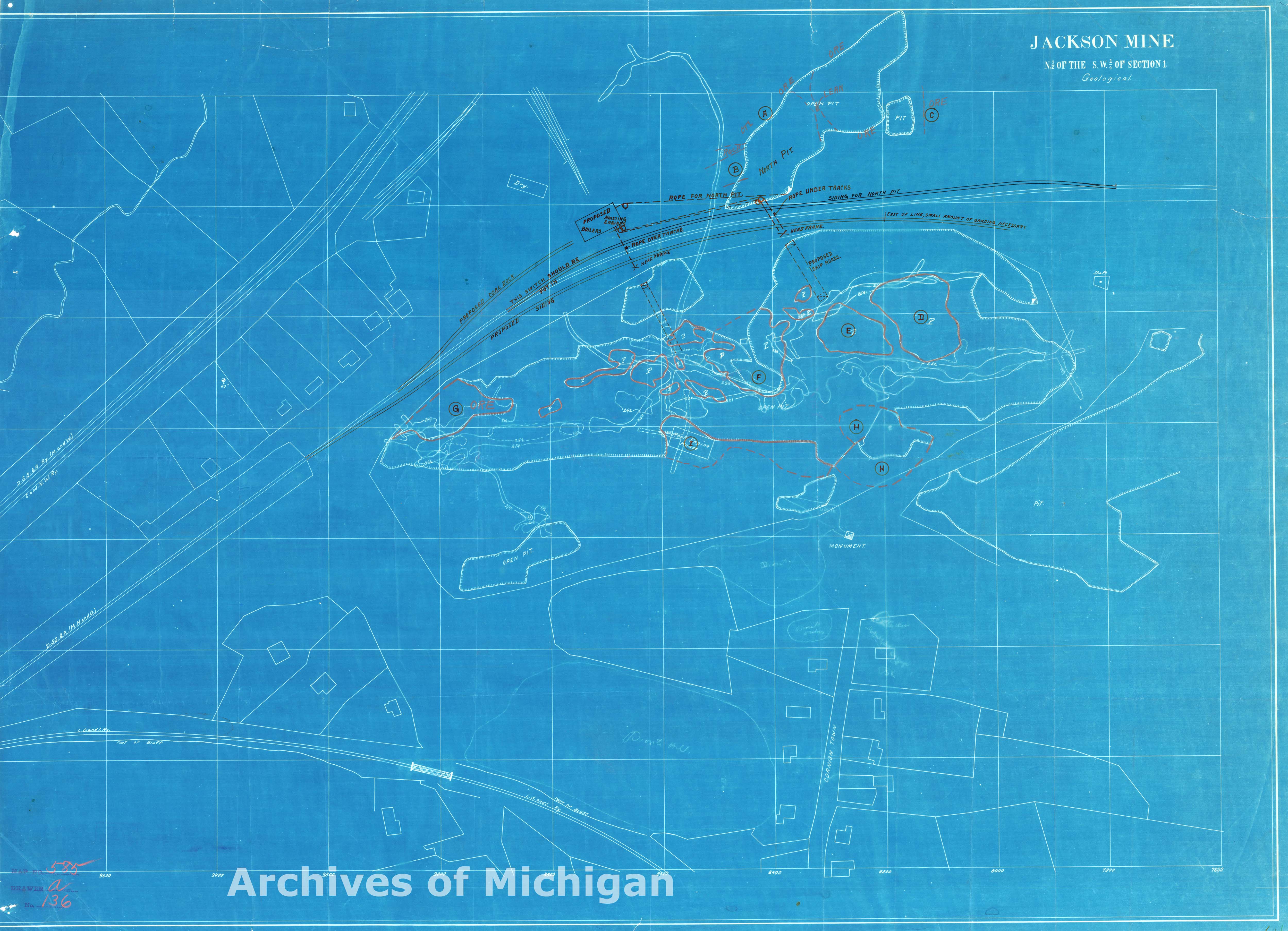
|
||||||||||||||||
|
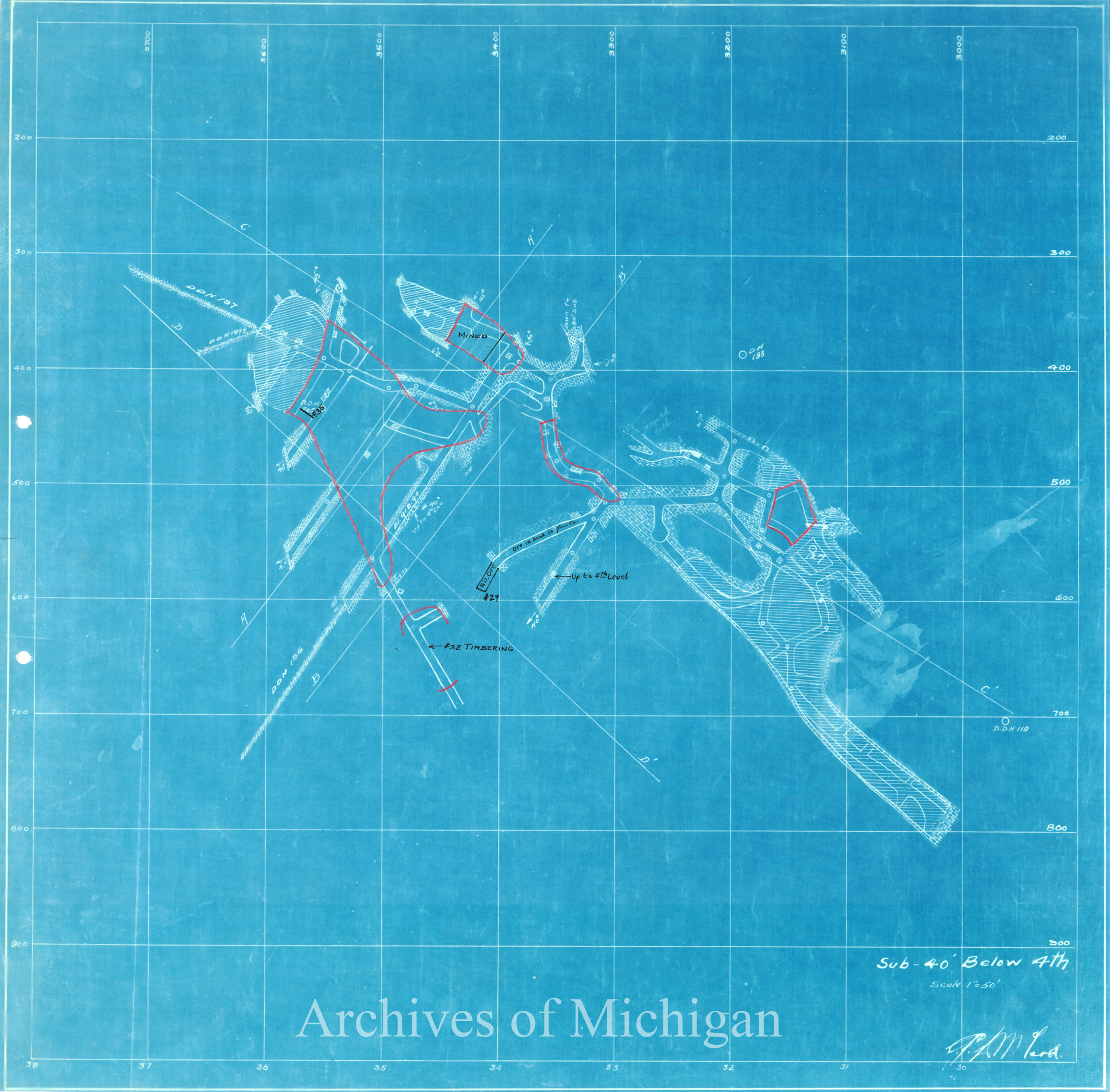
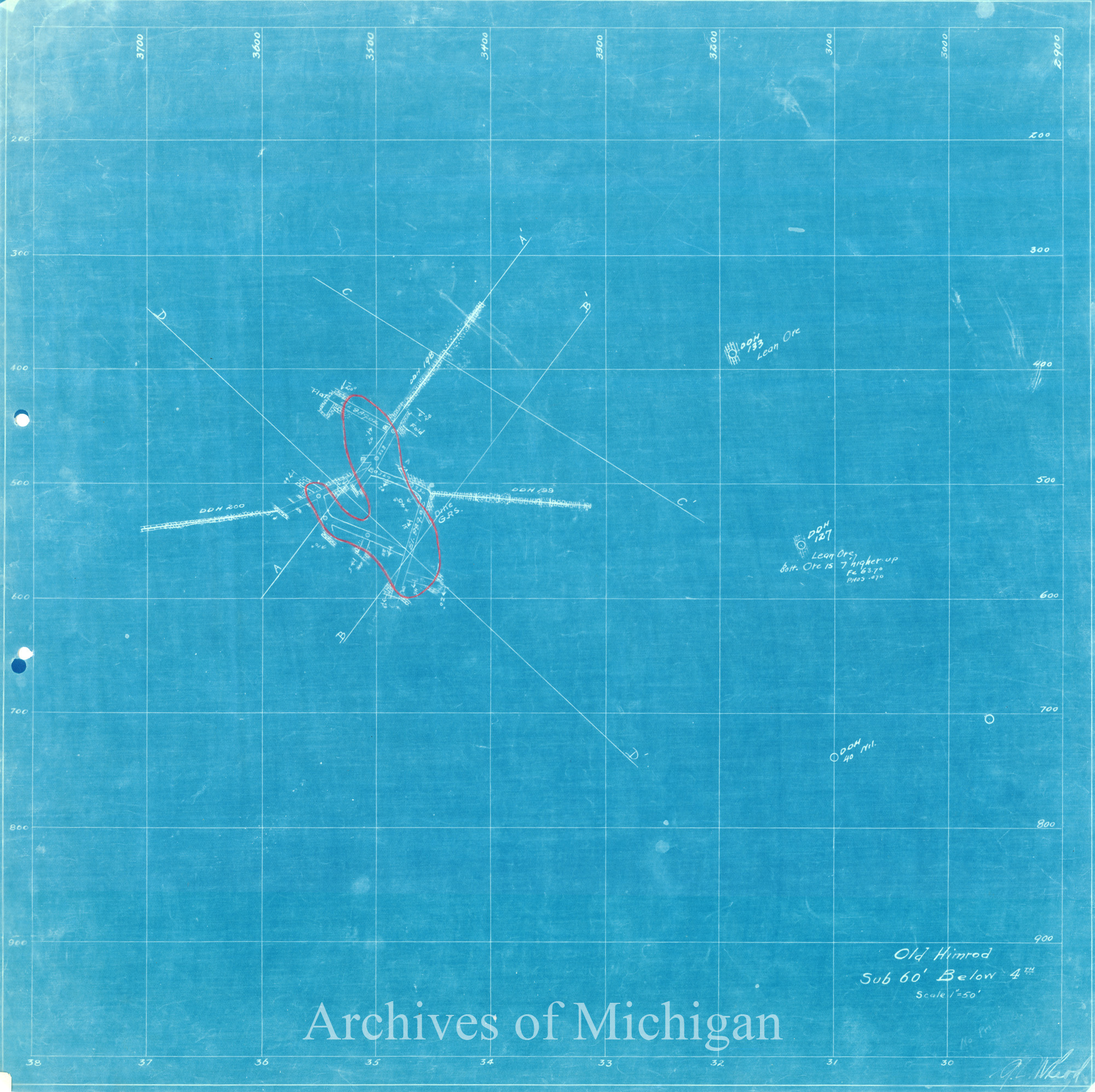
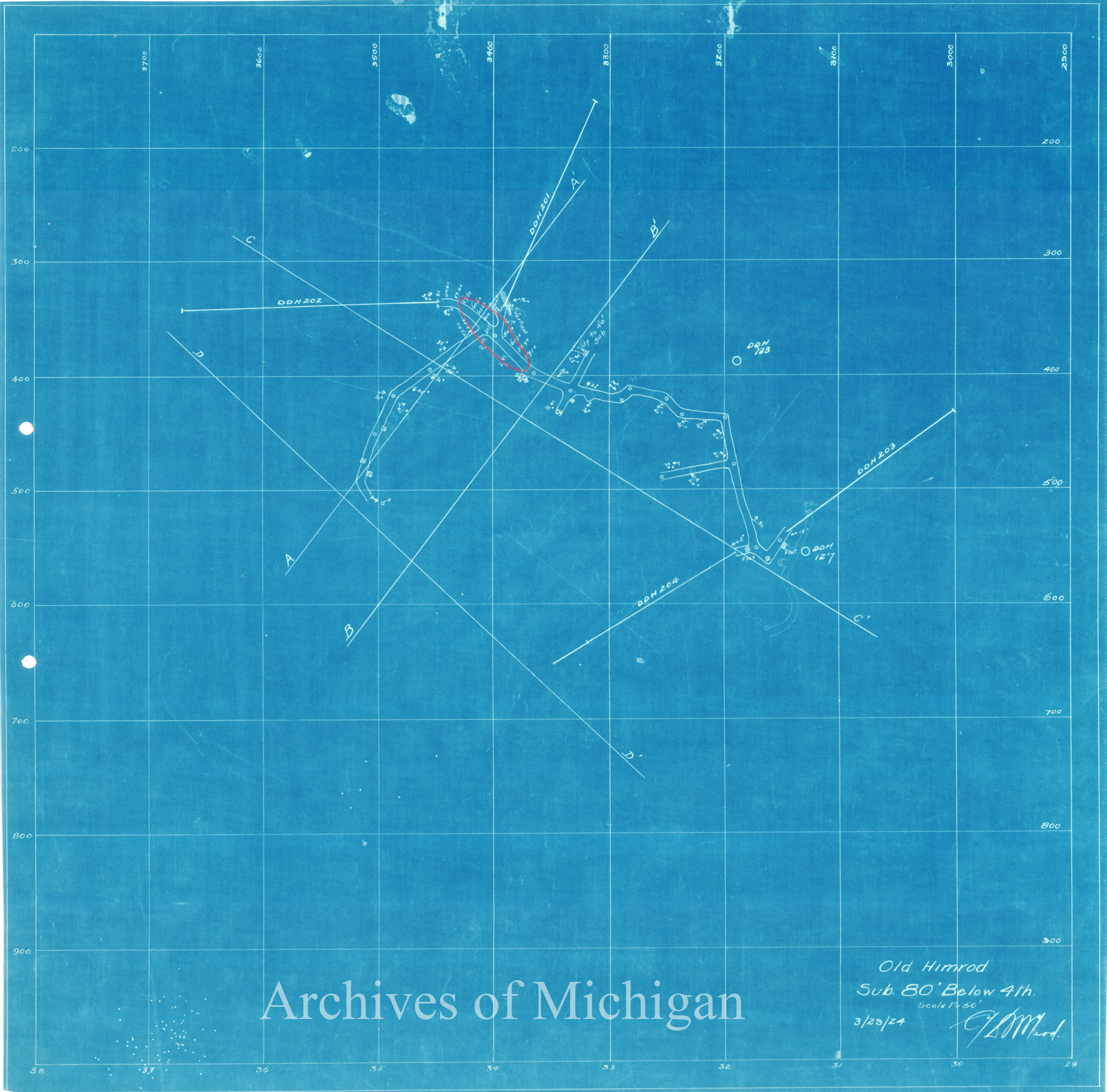
North Lake District Map, Ely Township 1909 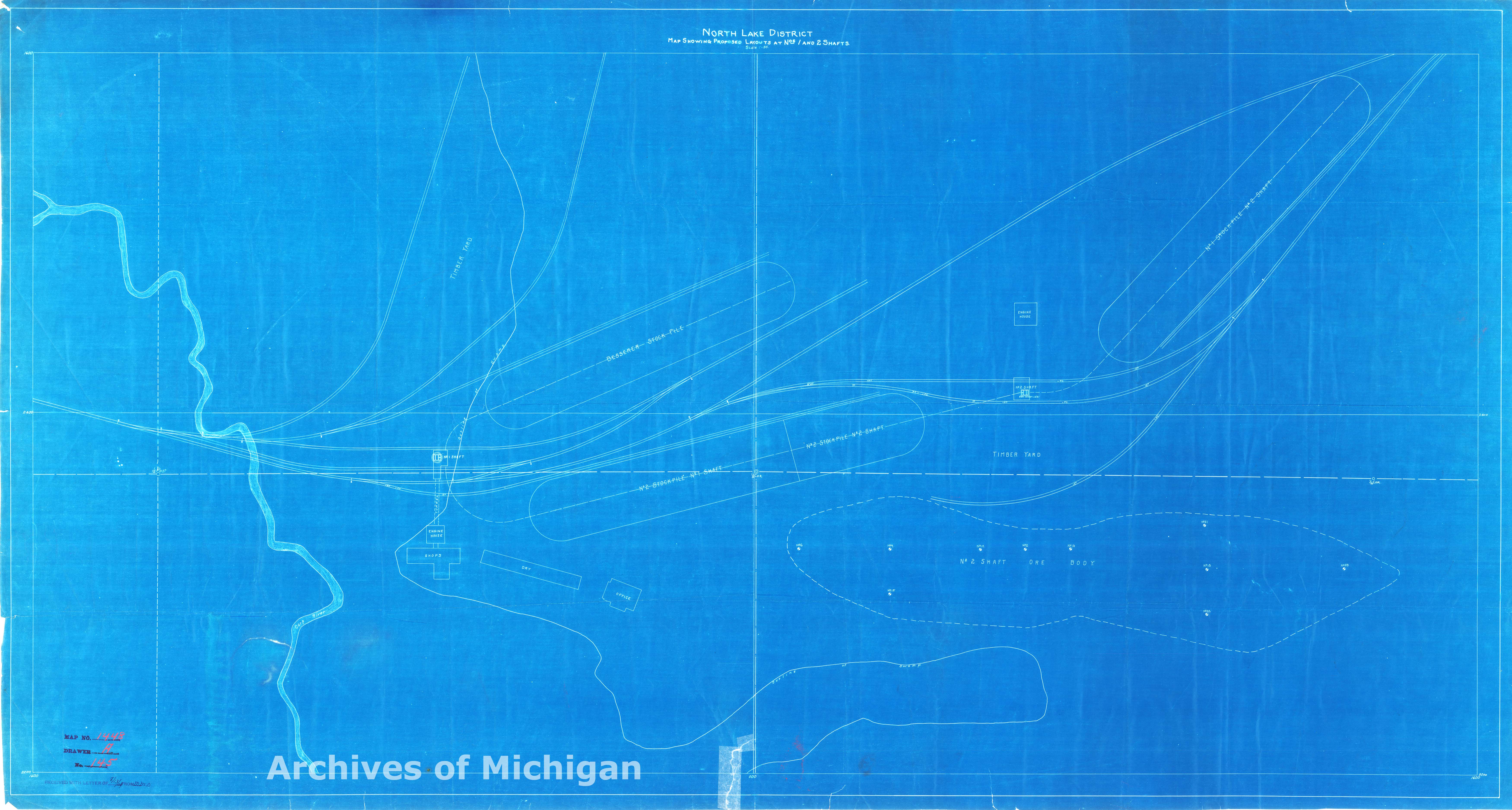
|
||||||||||||||||
|
Plan of North Lake Mine First Level, Ely 1911 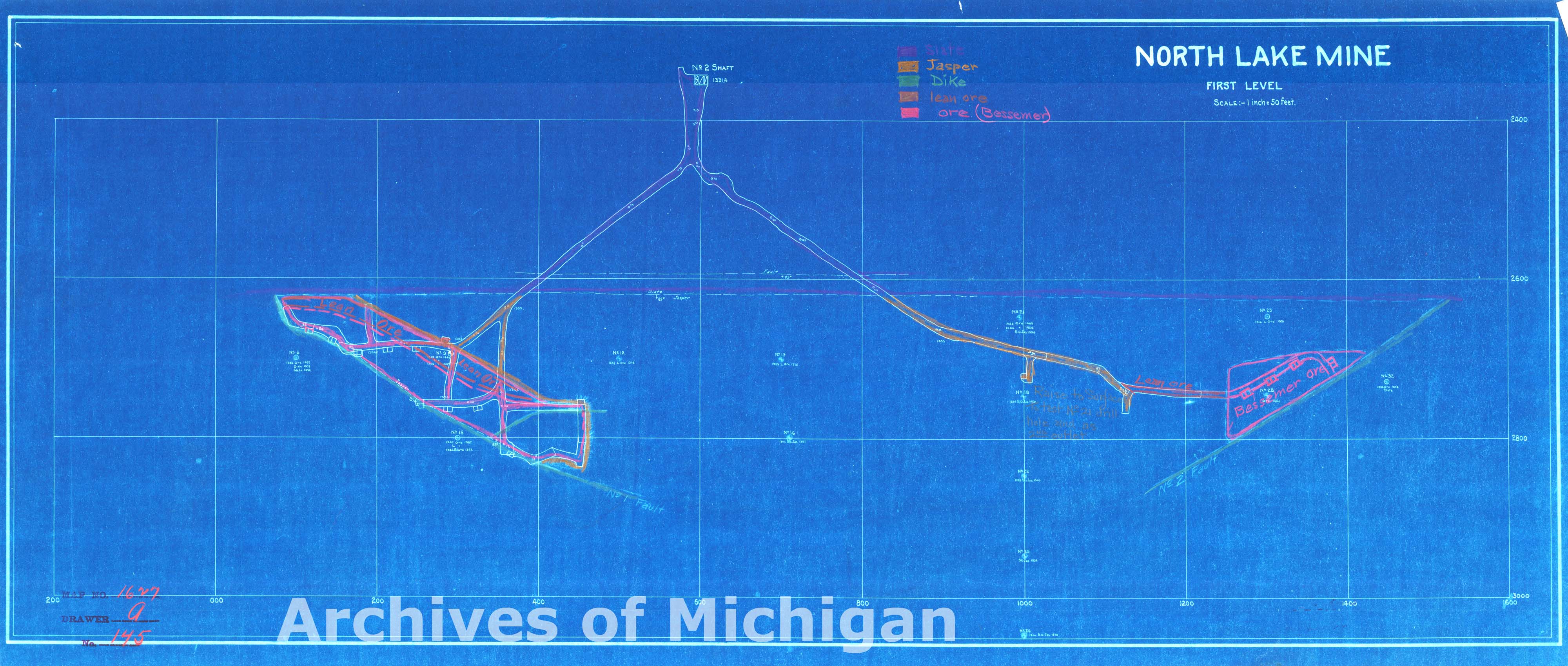
|
||||||||||||||||
|
Plan of North Lake Mine Second Level, Ely 1911 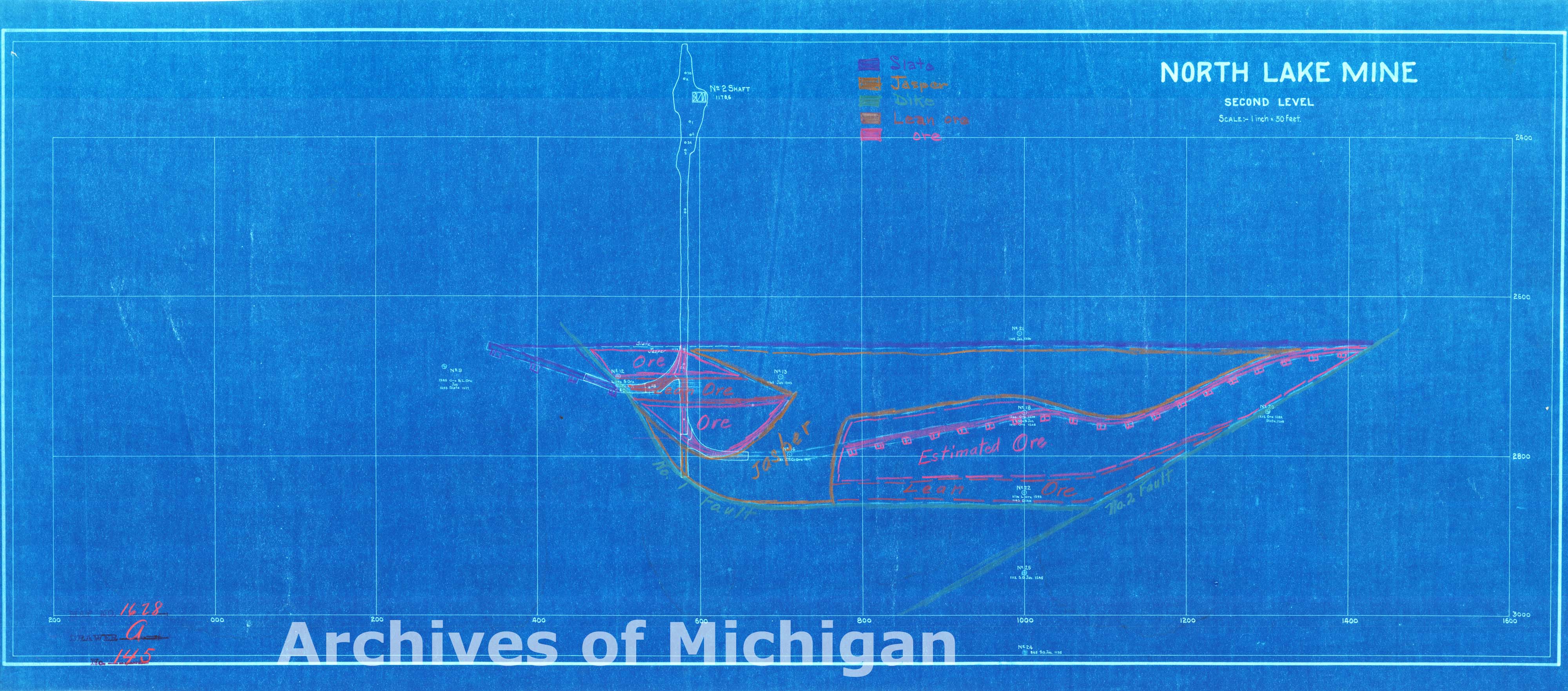
|
||||||||||||||||
|
Plan of North Lake Mine Third Level, Ely 1911 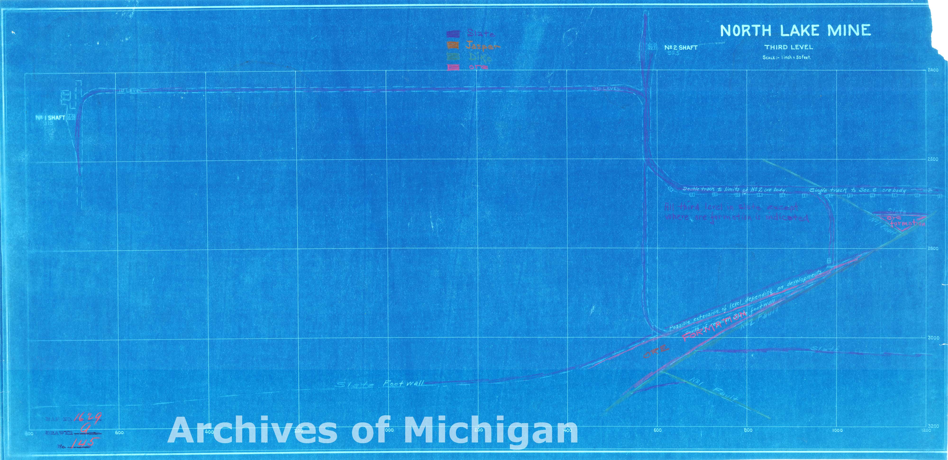
|
||||||||||||||||
|
Plan of North Lake Mine First Level, Ely 1911 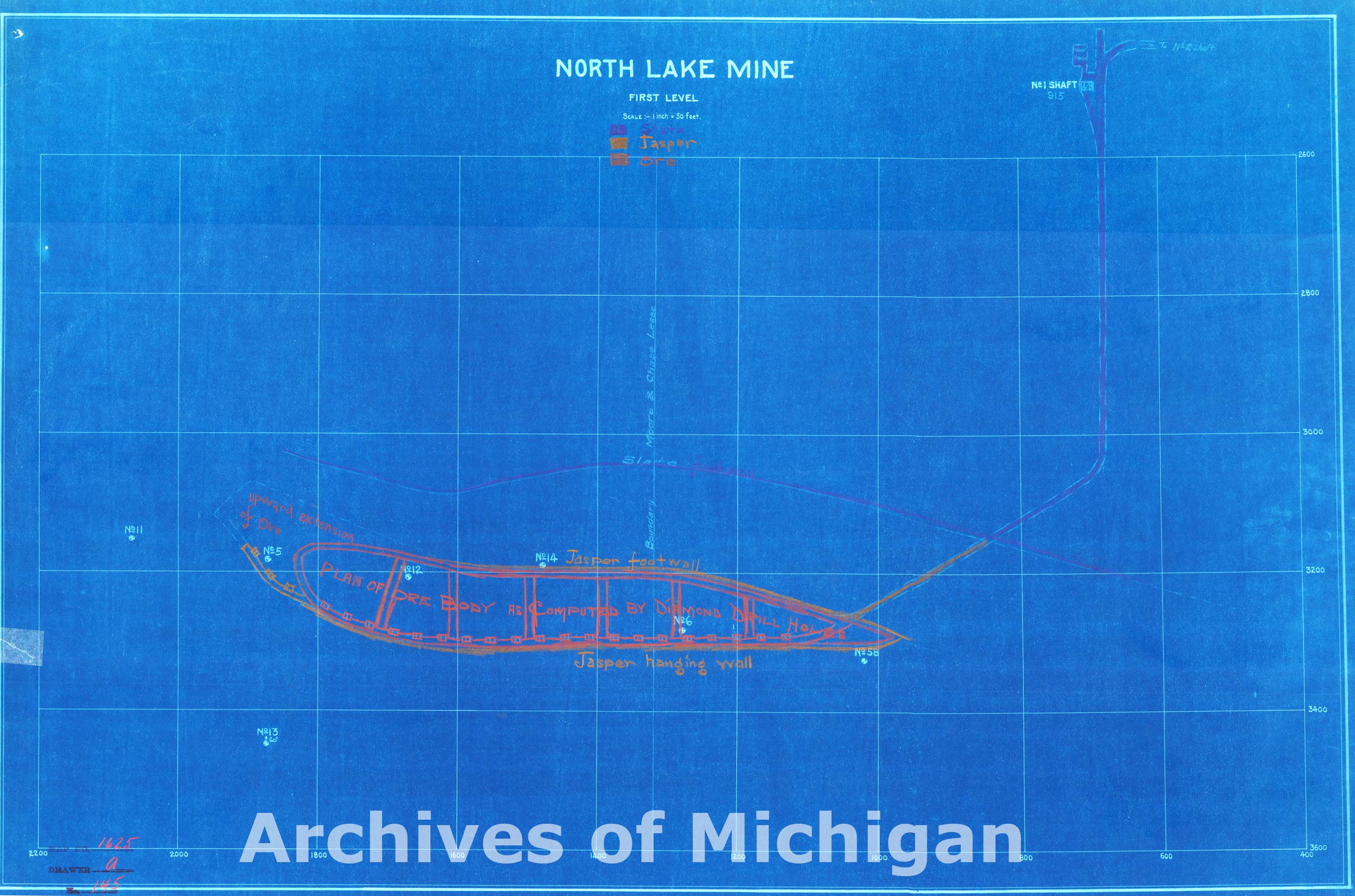
|
||||||||||||||||
|
North Lake District Plans Showing Proposed Layouts and No. 5 and 2 Shafts, Ely 1911 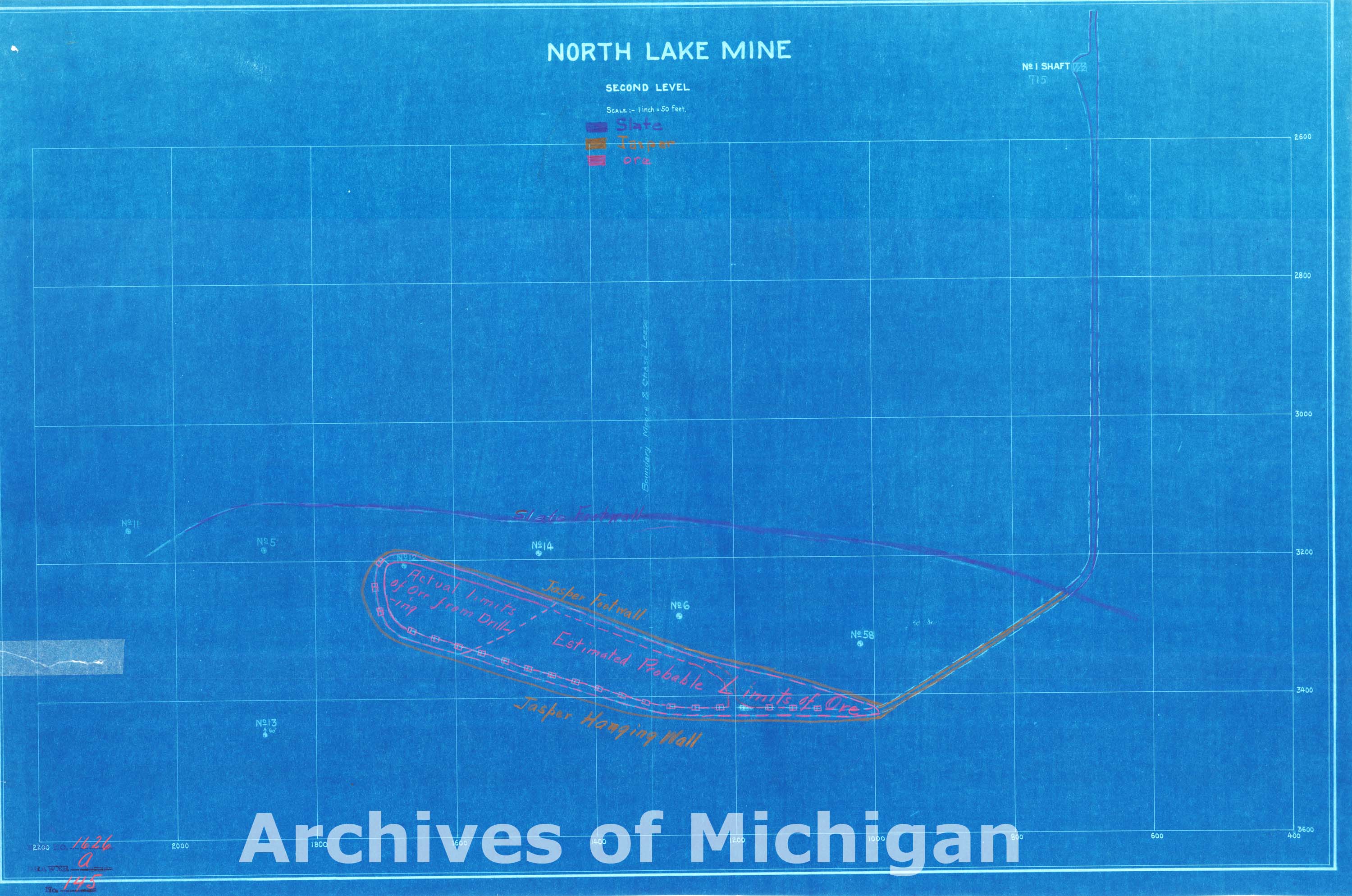
|
||||||||||||||||
|
Cleveland Iron Mining Company Map of Workings, Ishpeming 1882 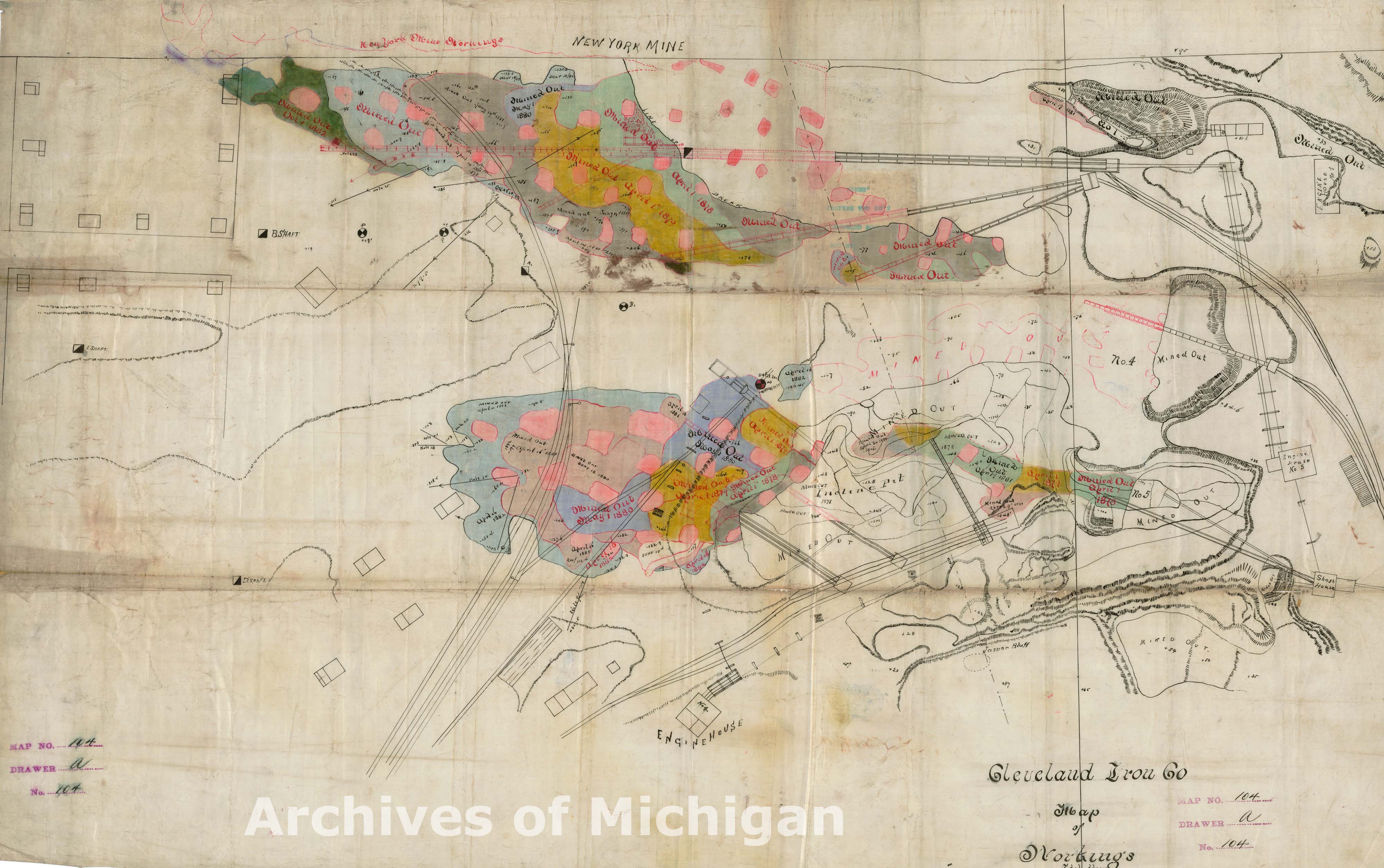
|
||||||||||||||||
|
City of Ishpeming S 1/2 of the S 1/4 of Section 3, Ishpeming 1911 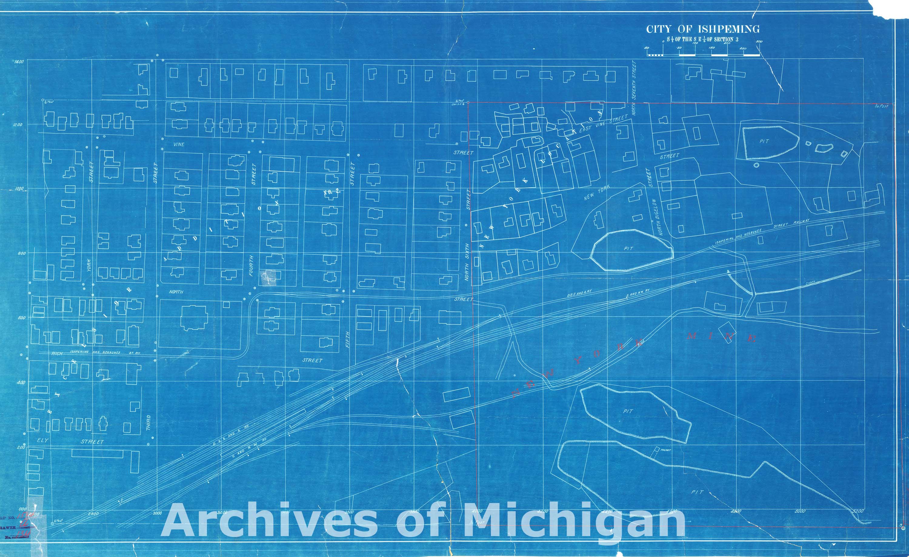
|
||||||||||||||||
|
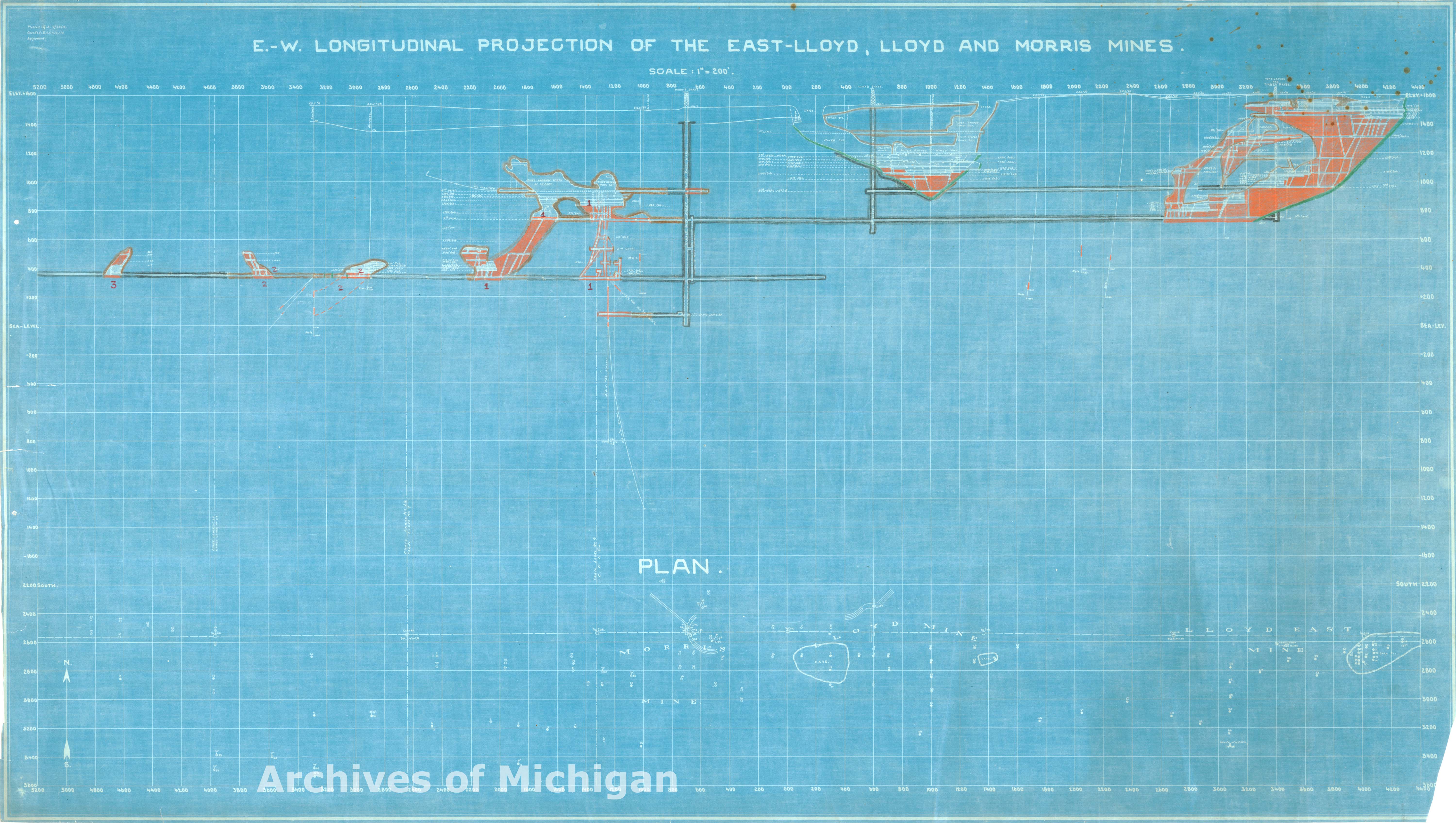
E.W. Longitudinal Projection of the East-Lloyd and Morris Mines, Ely Township (3 maps) 1920 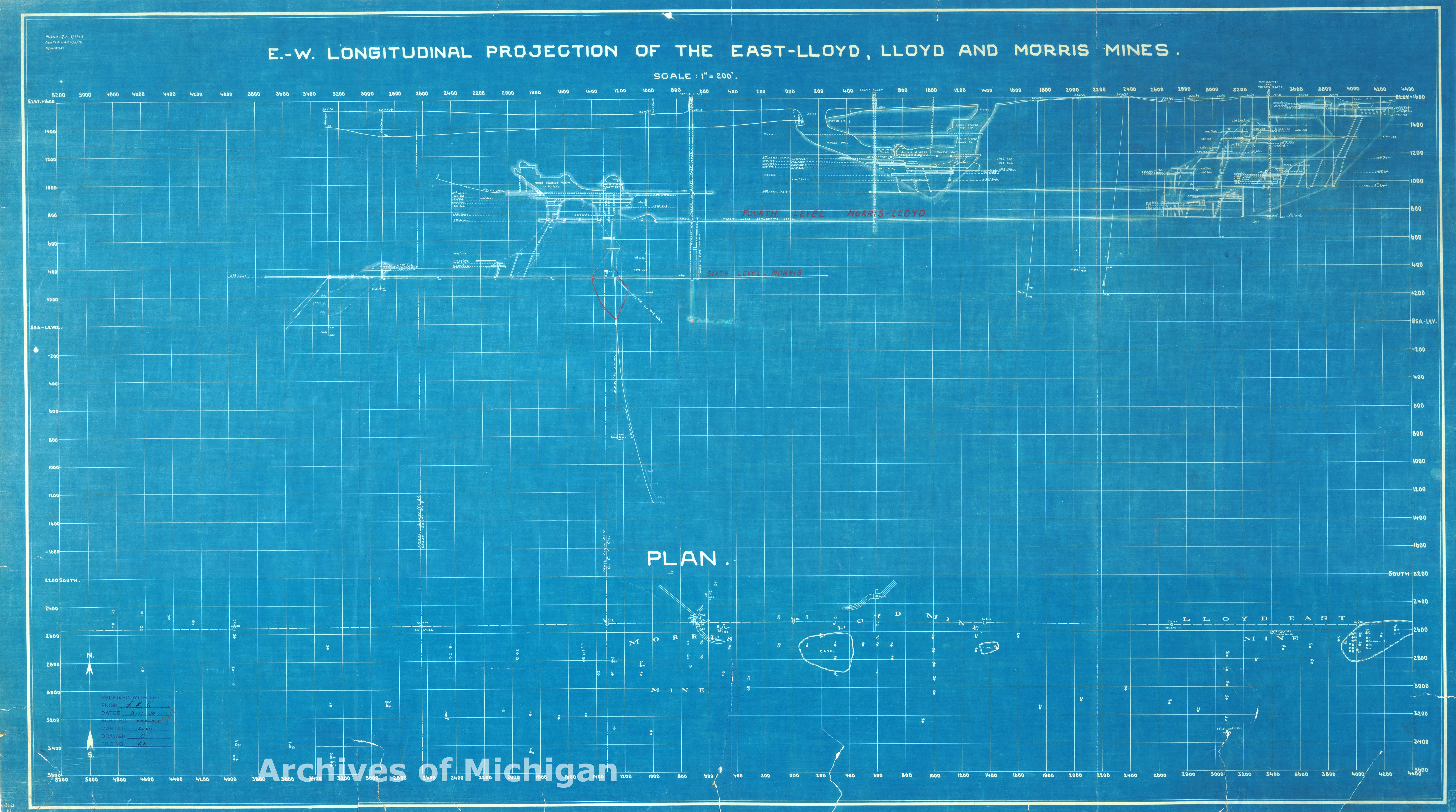
|
||||||||||||||||
|
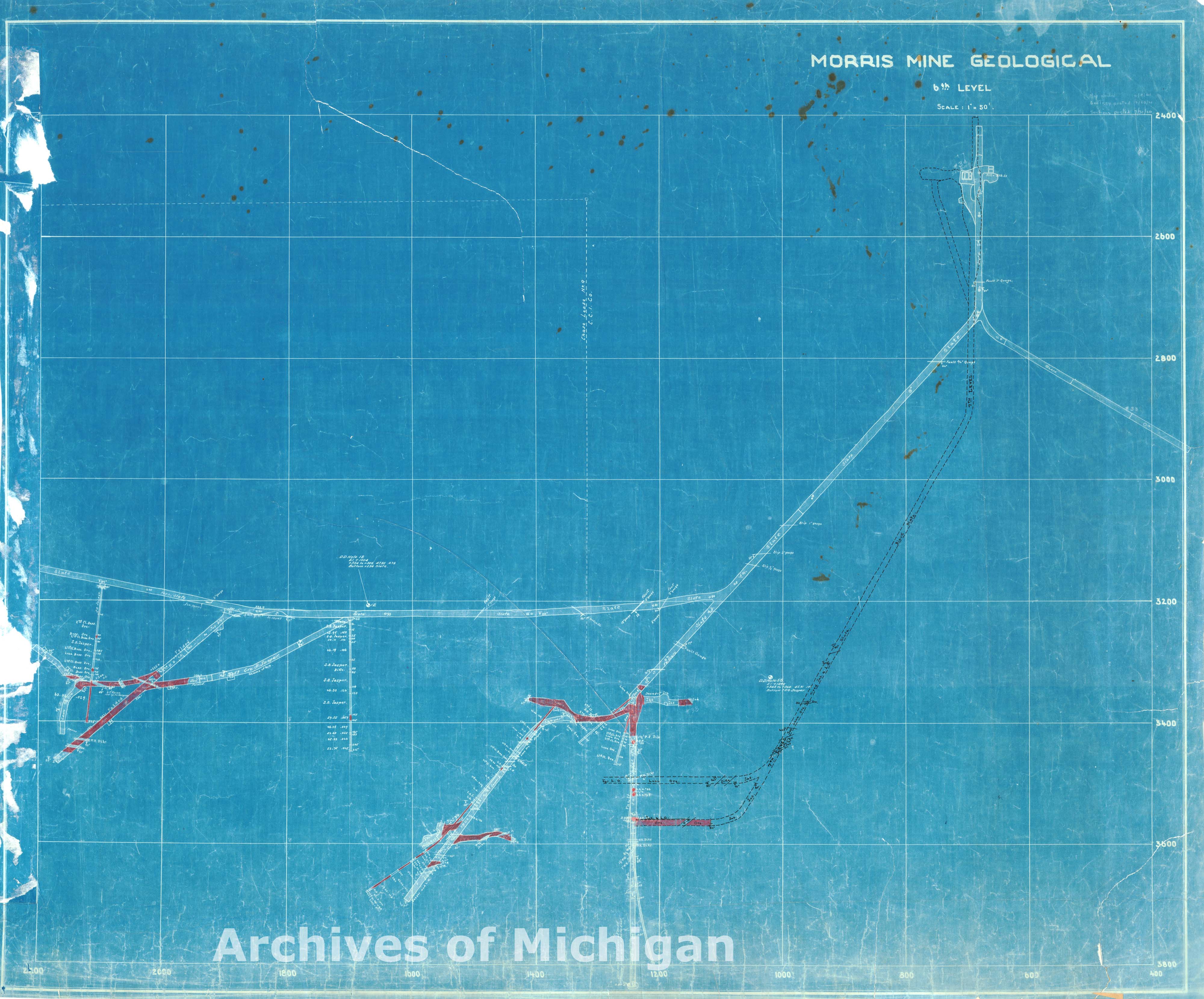
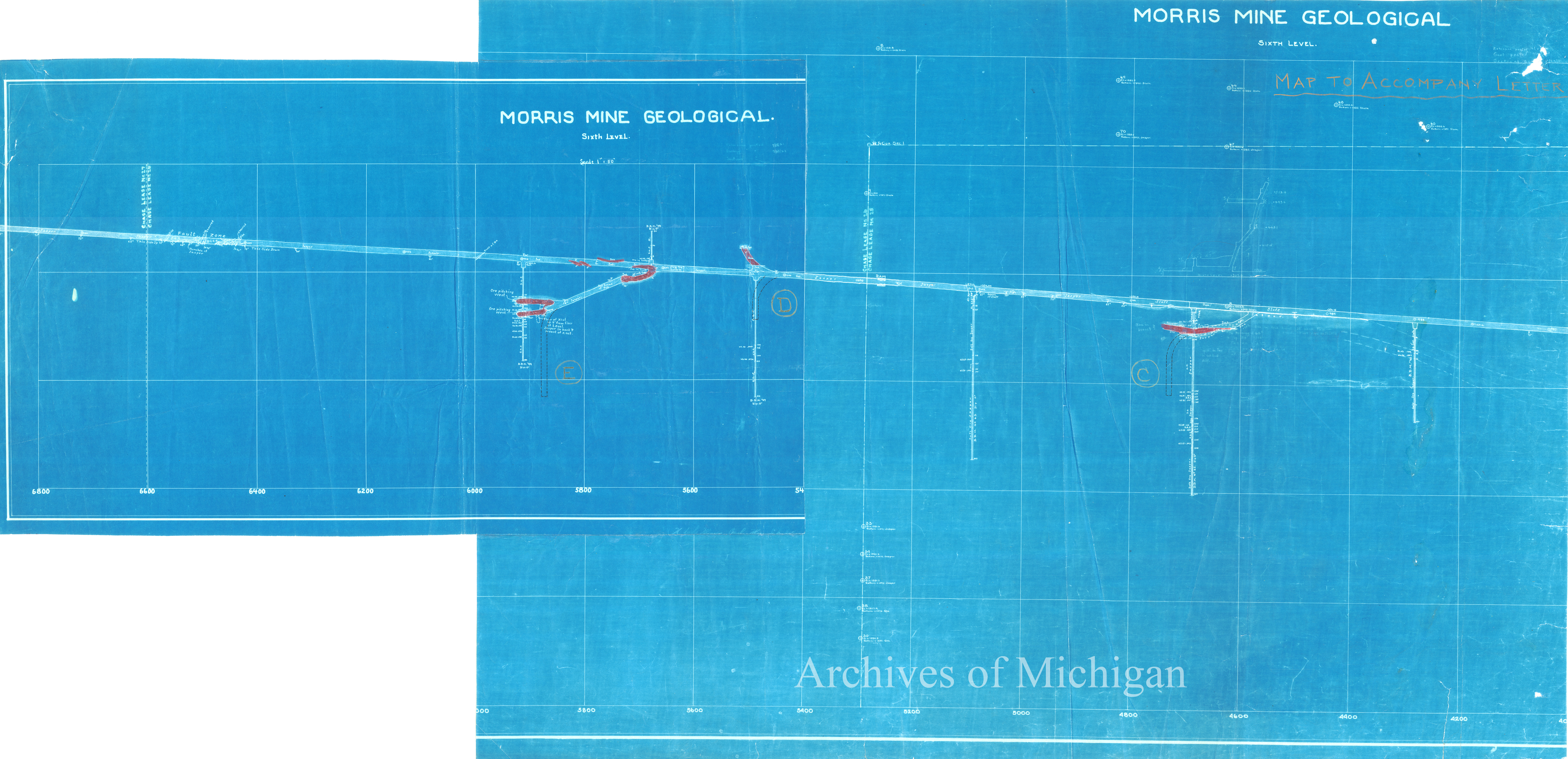
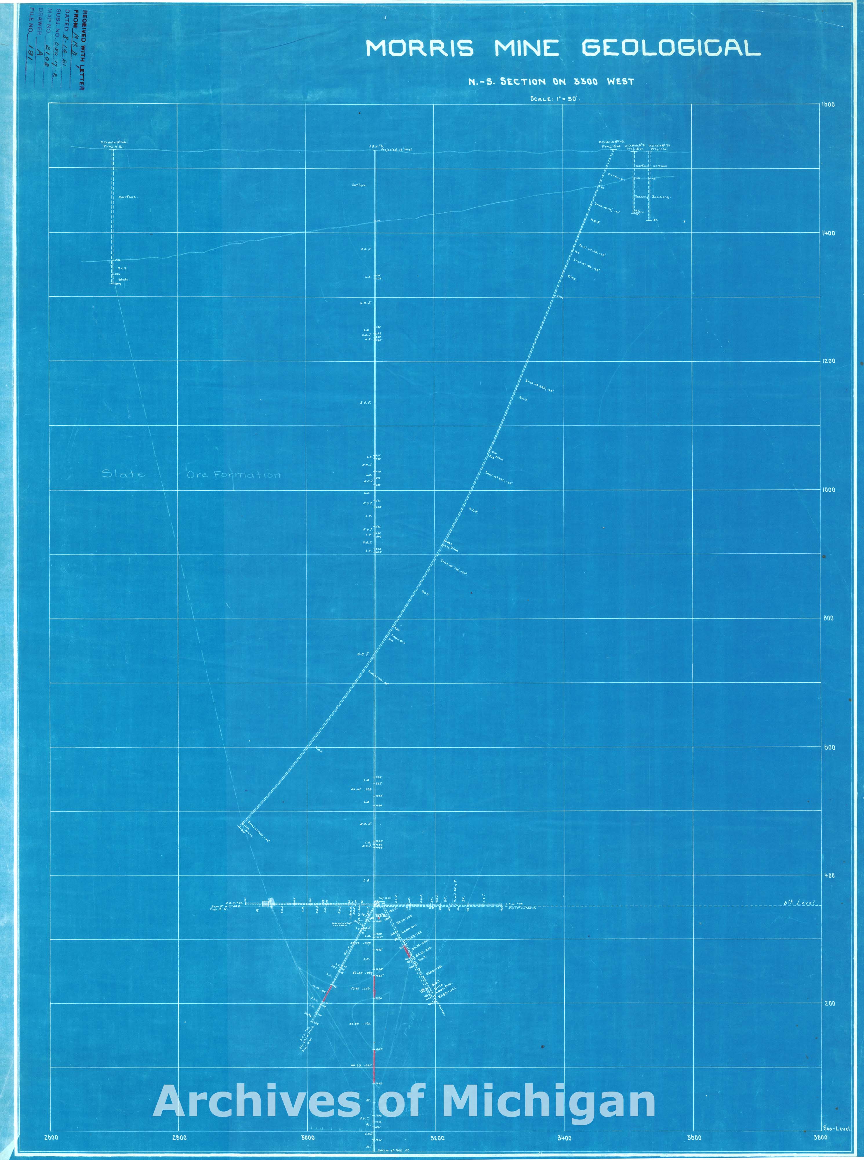
Maps of Morris Mine Geological, Ely (4 maps) 1921 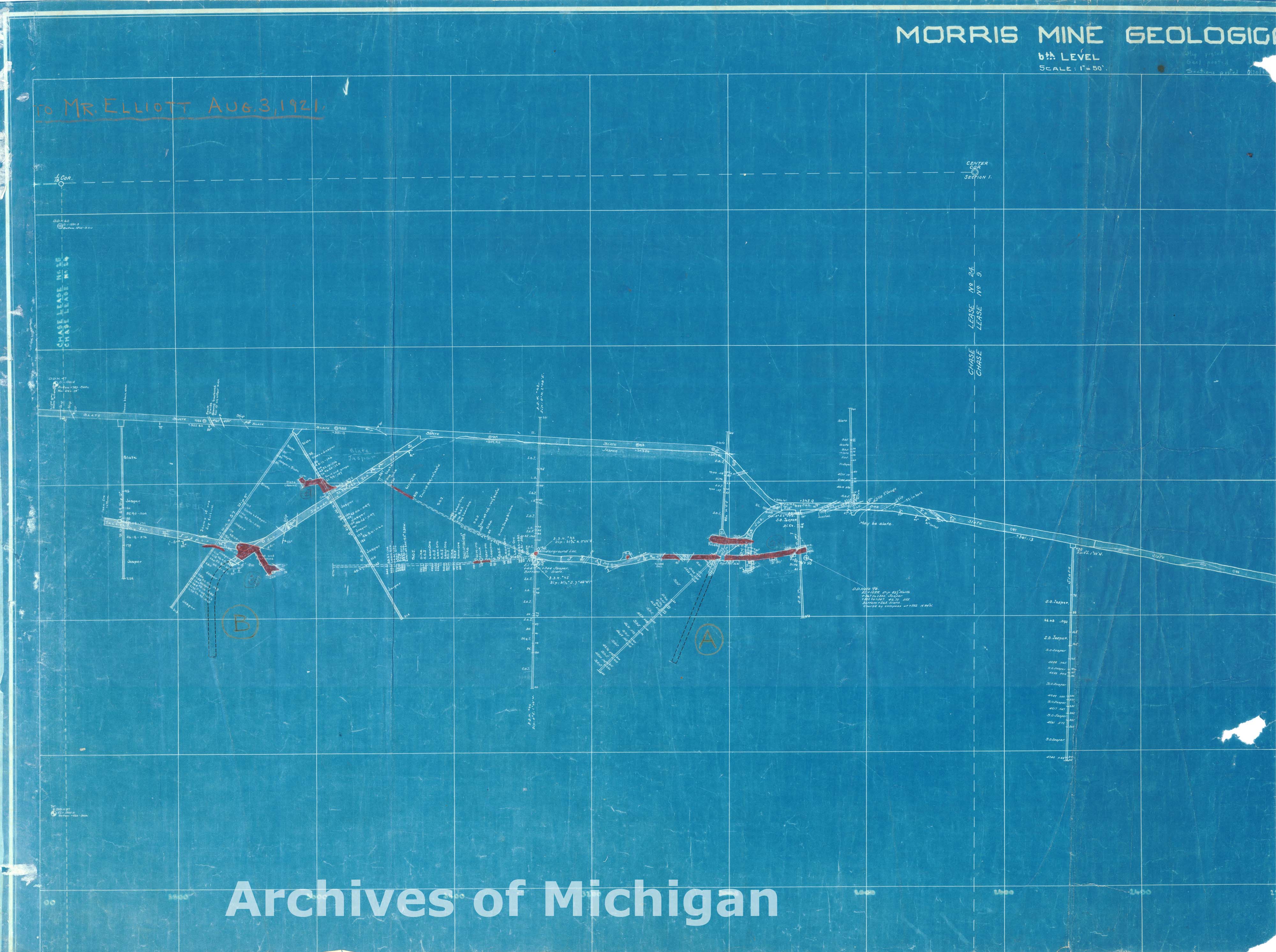
|
||||||||||||||||
|
Morris Mine Surface Map, Ely 1921 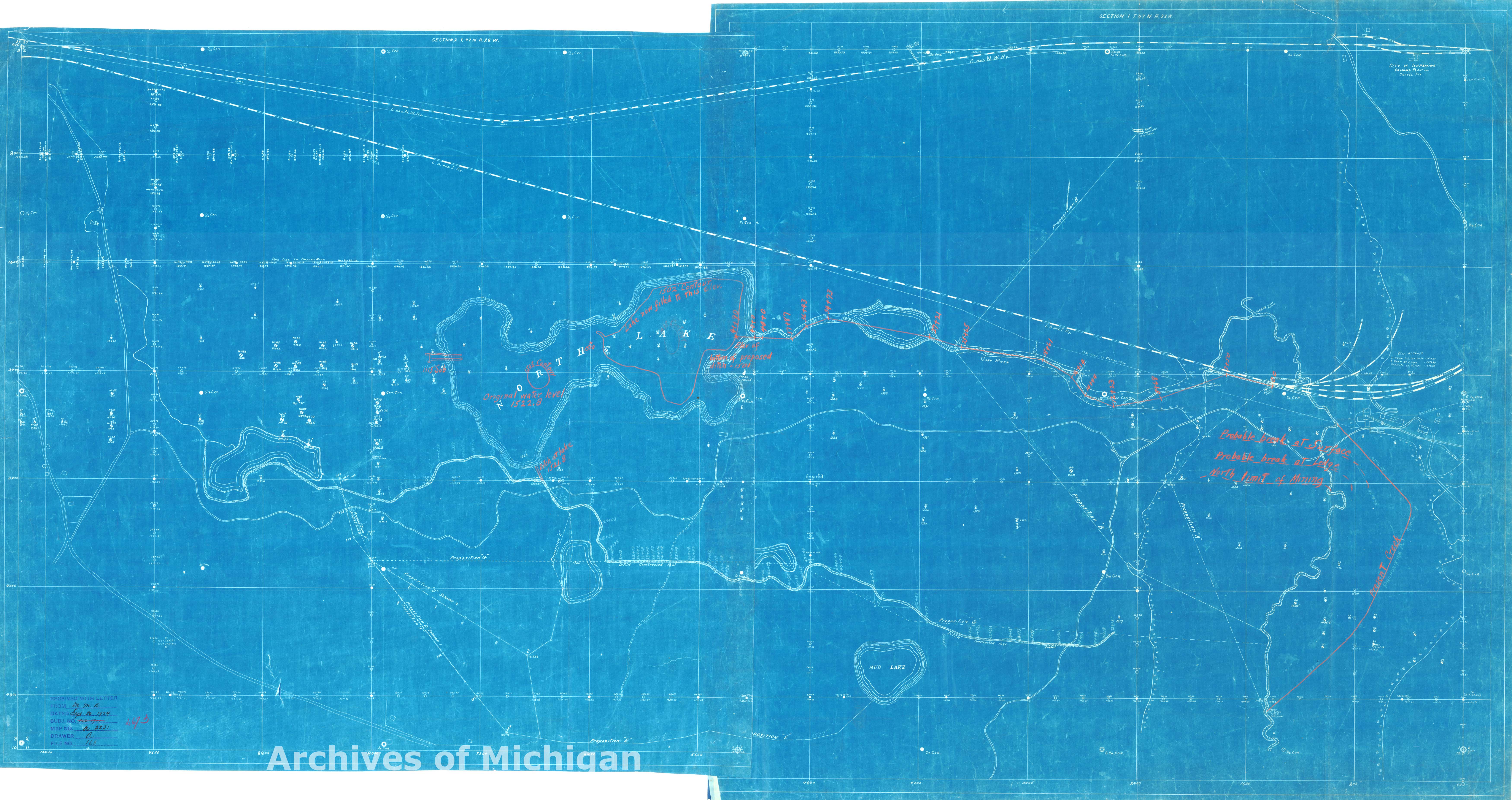
|
||||||||||||||||
|
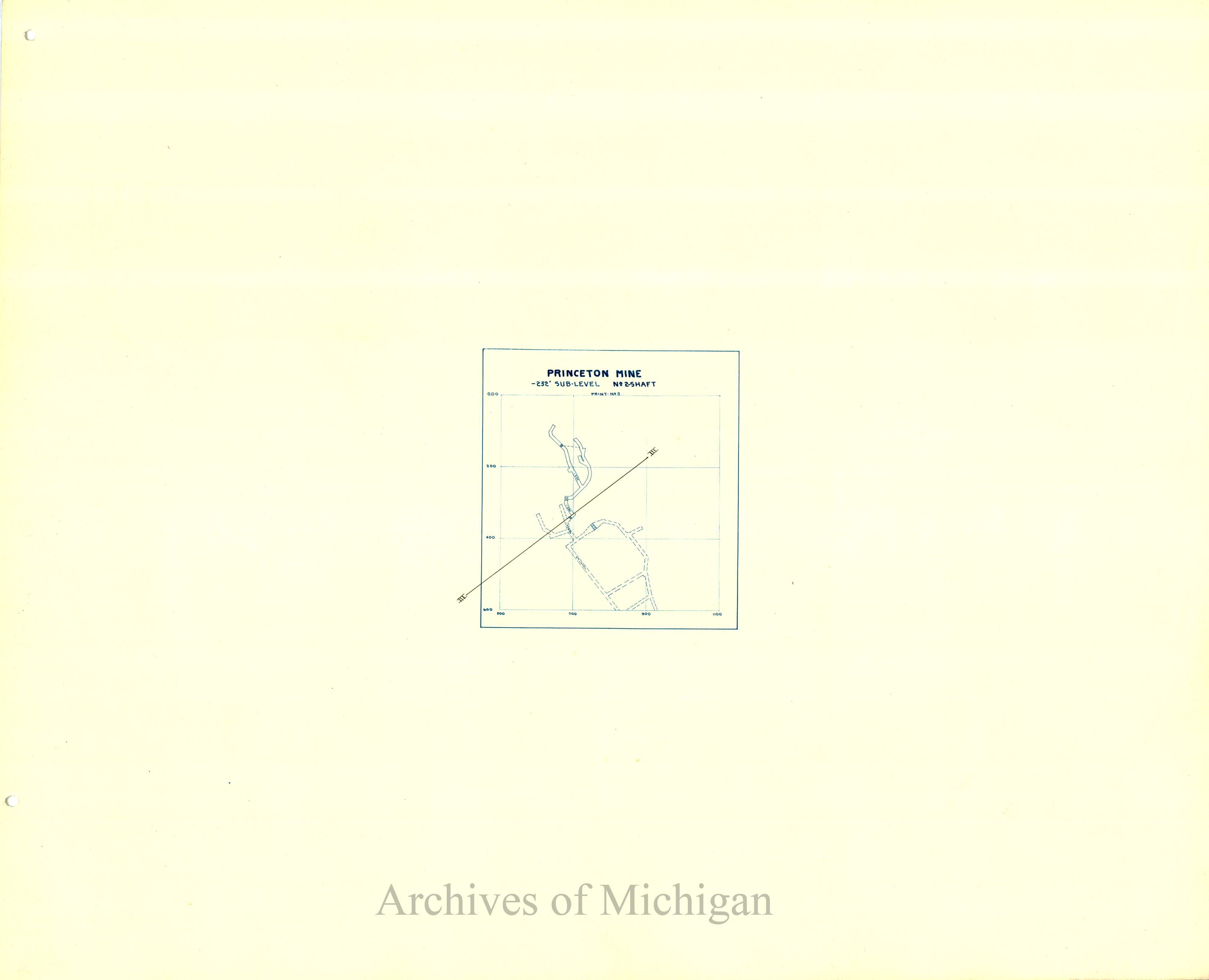
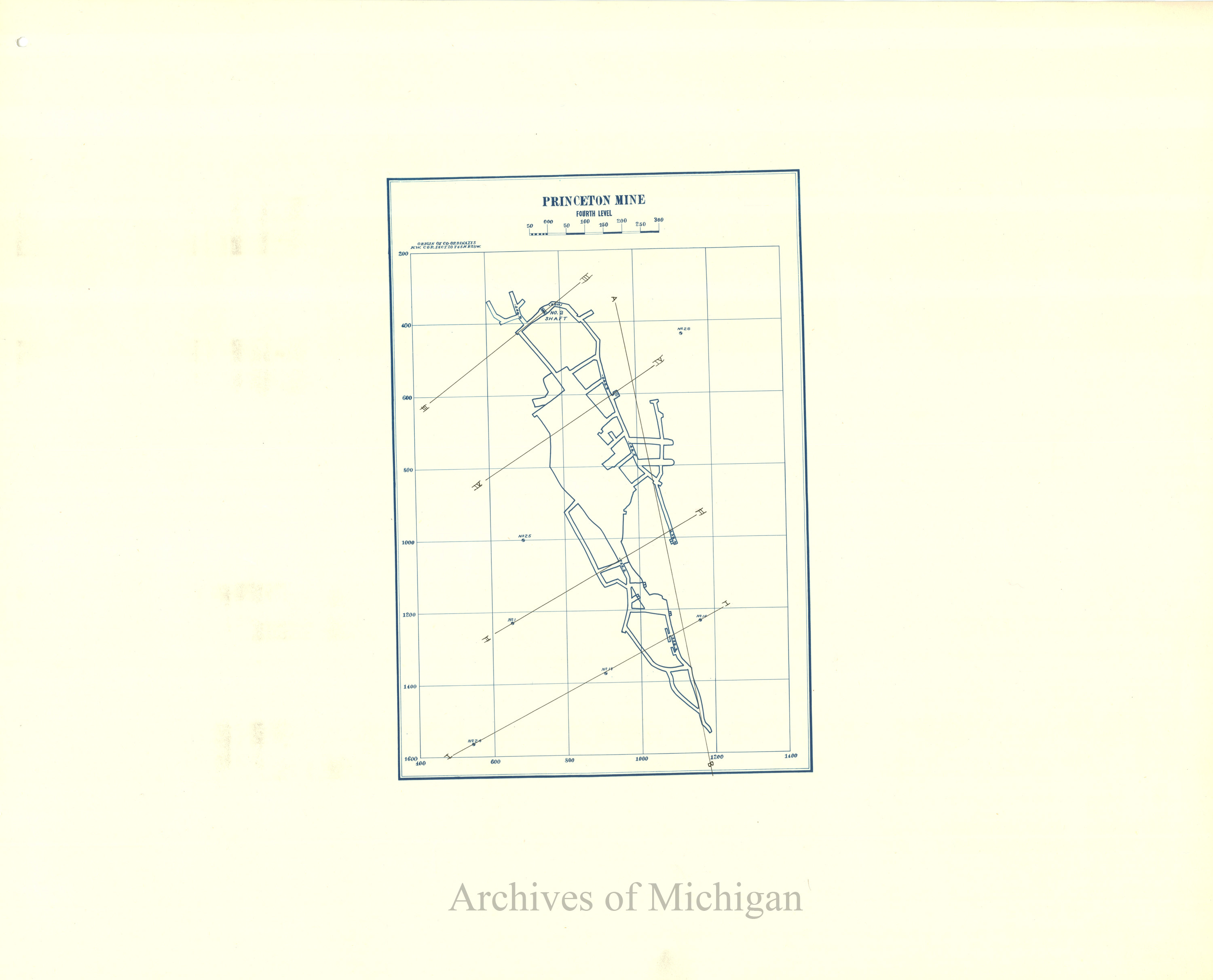
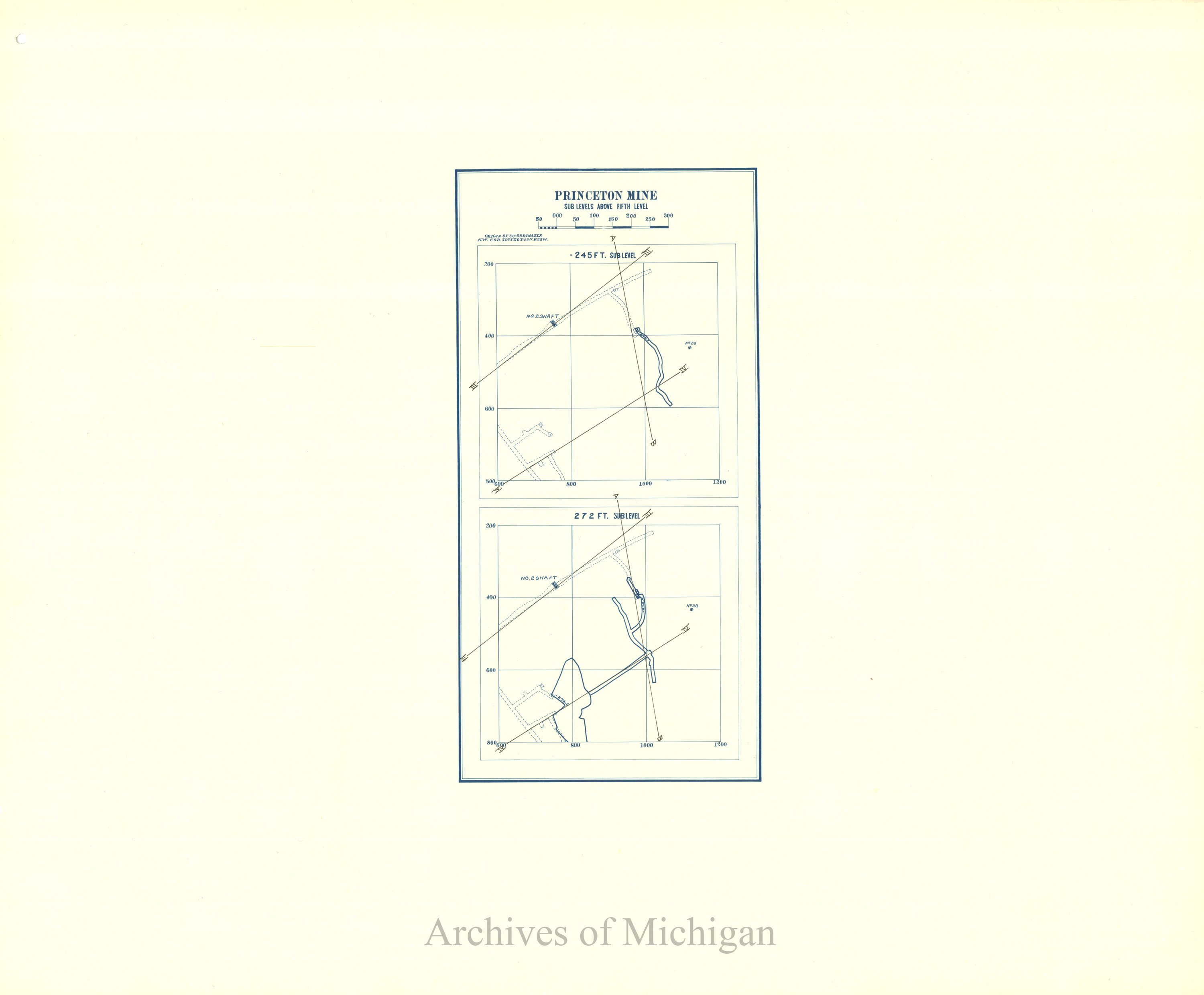
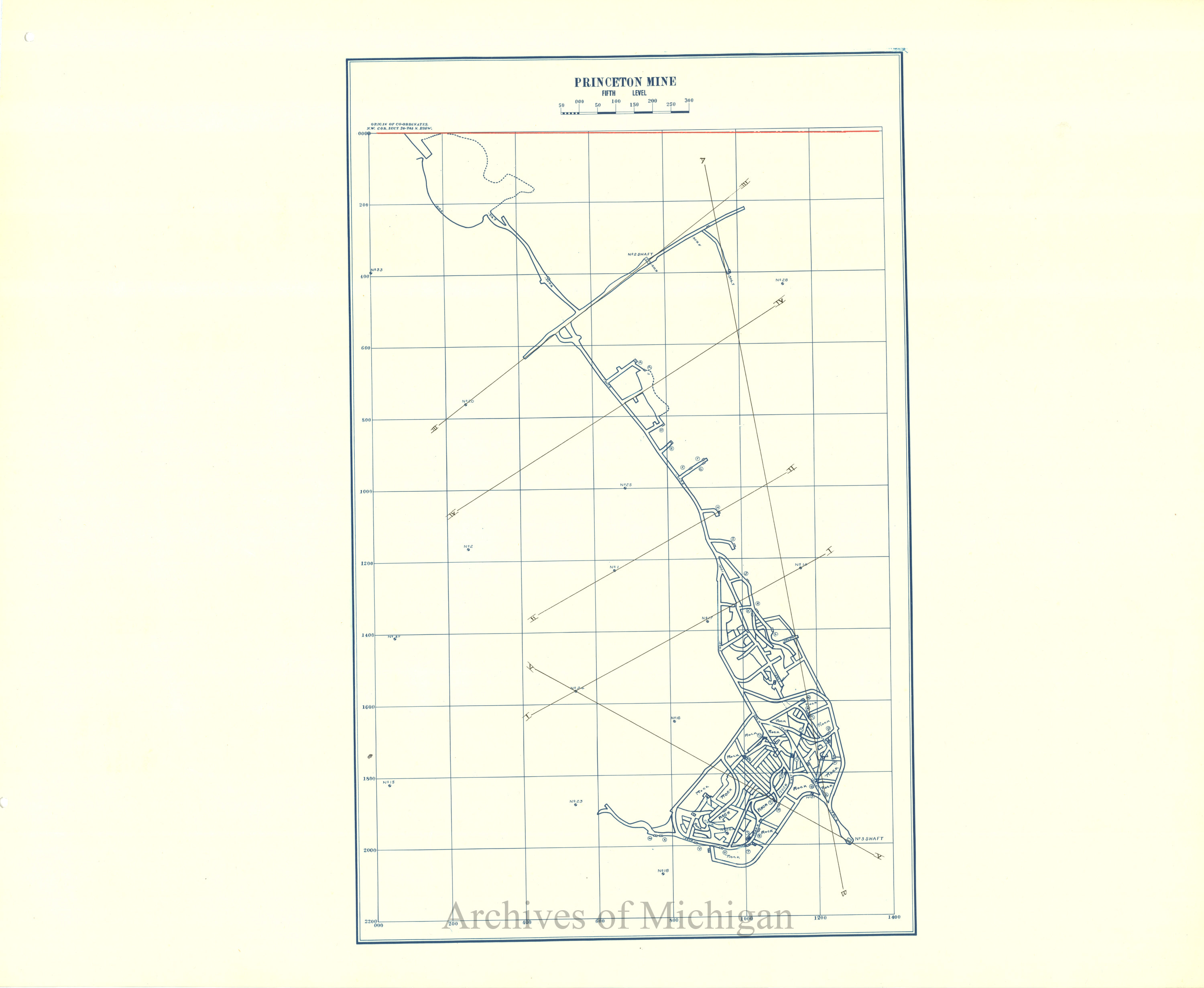
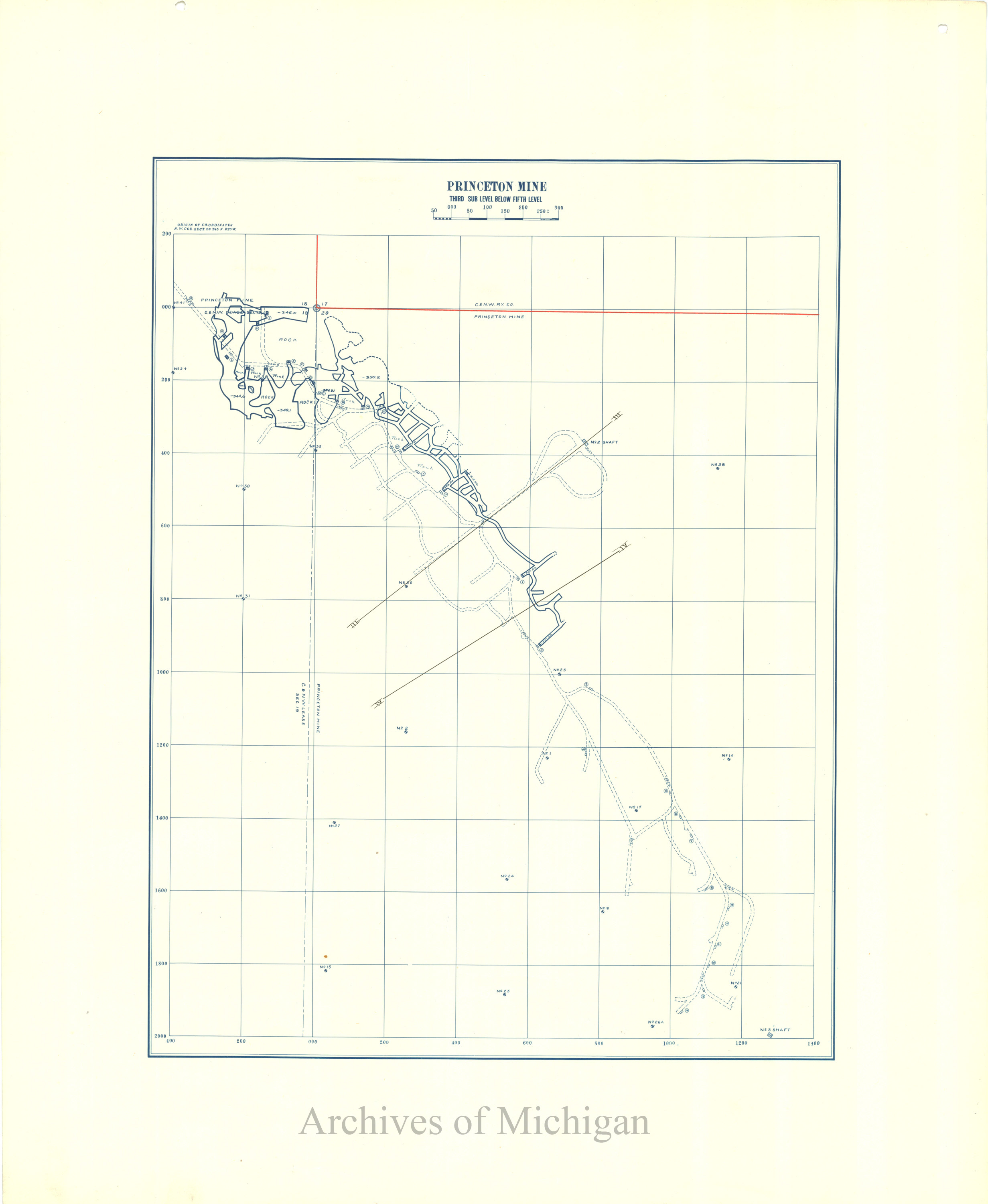
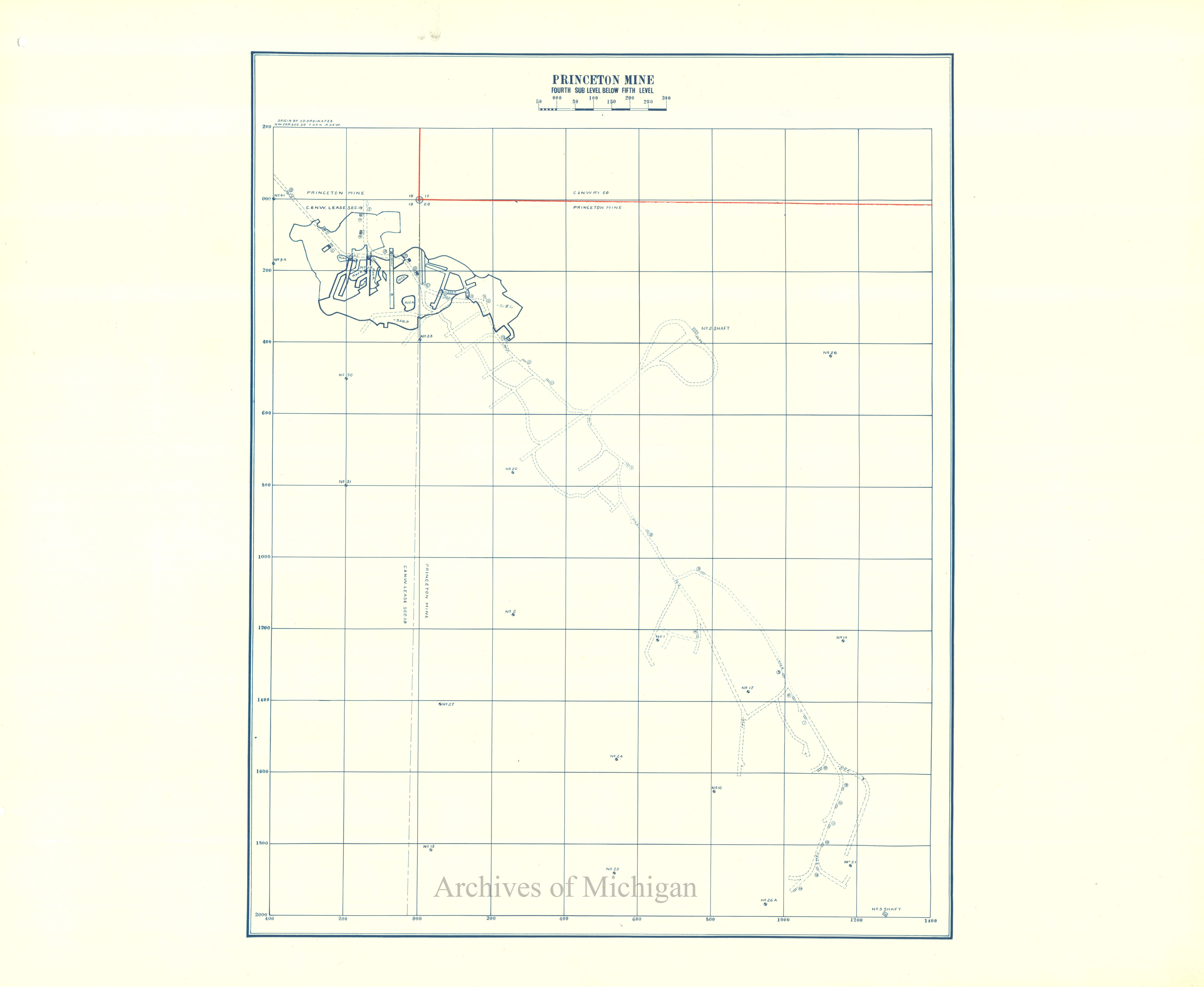
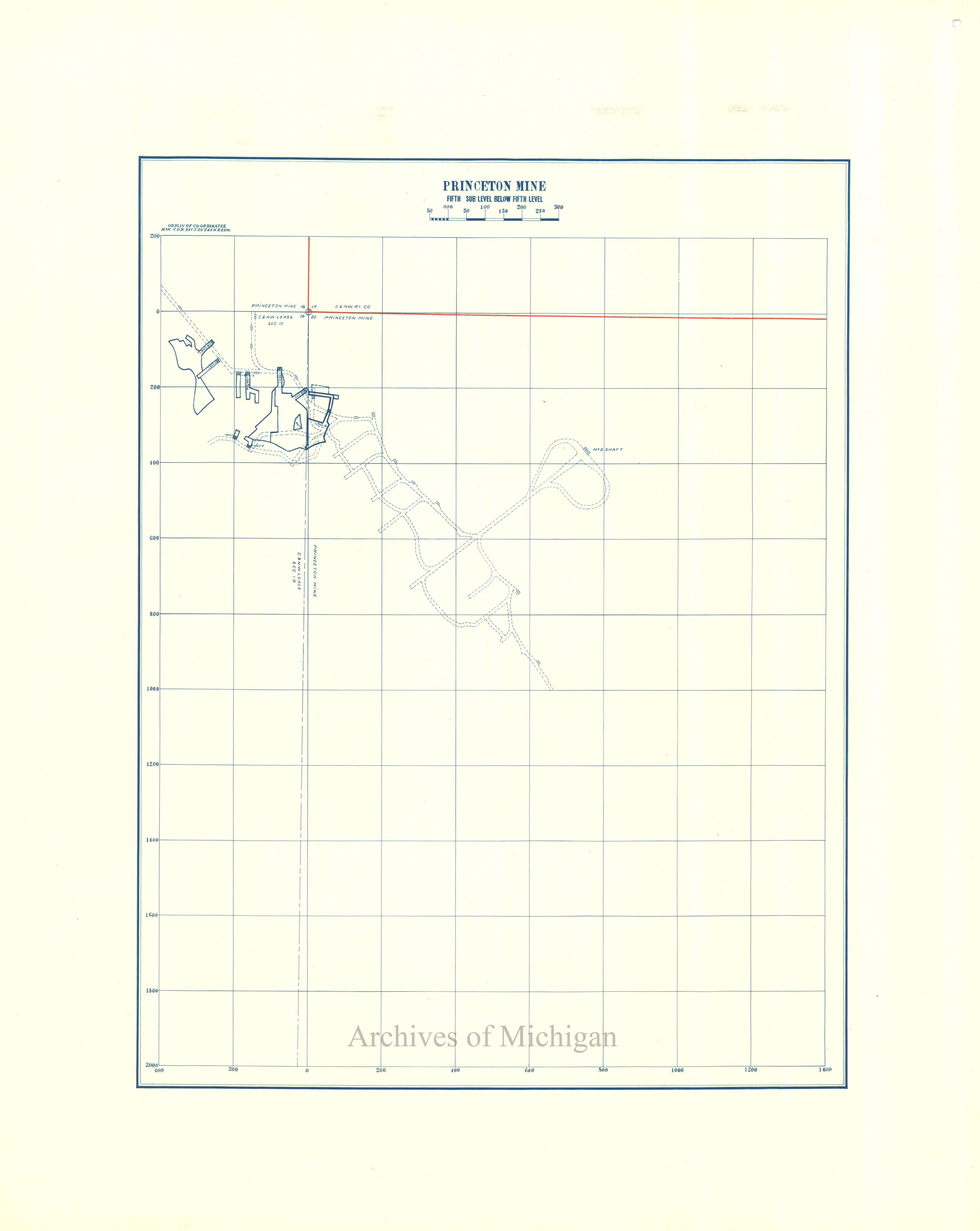
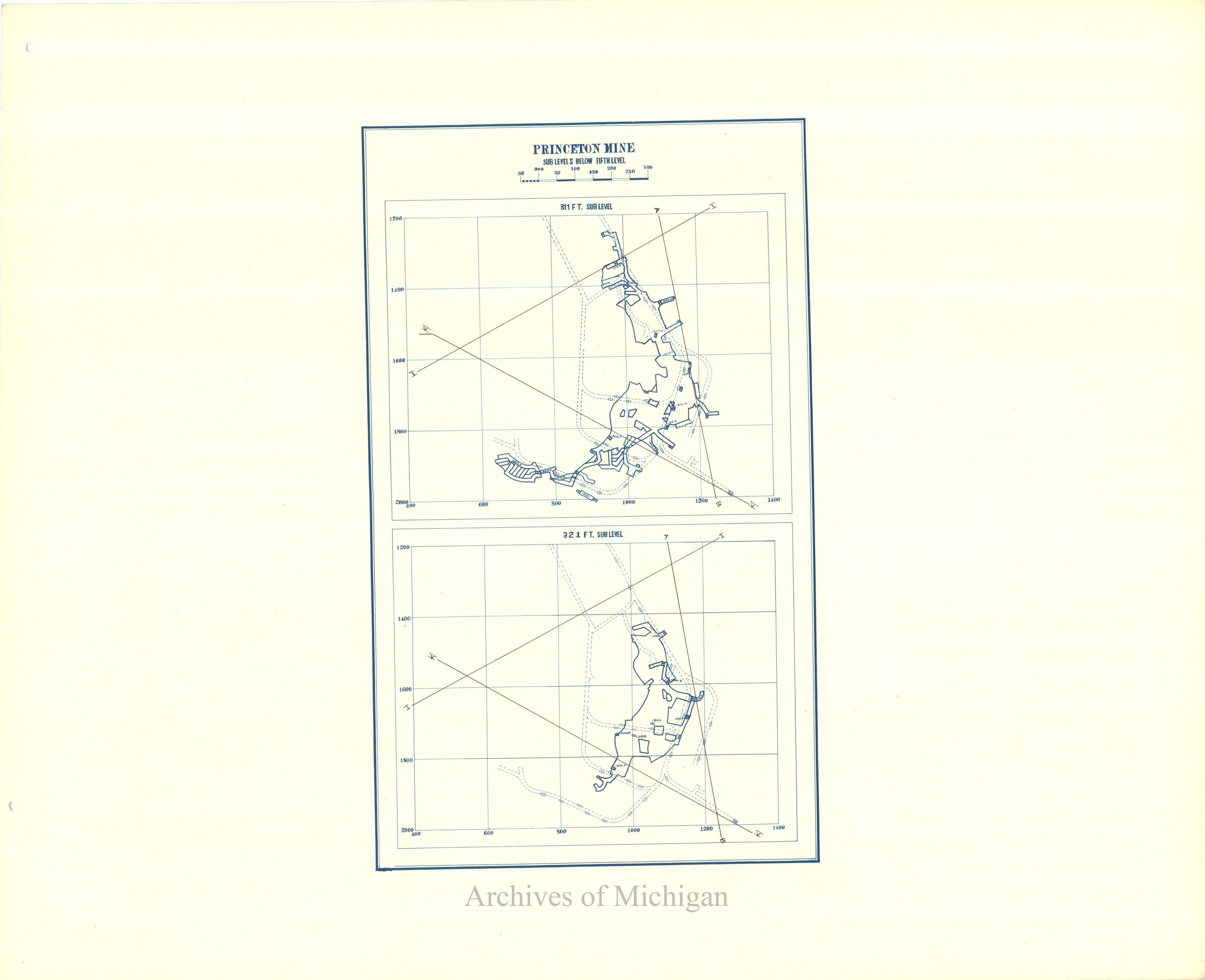
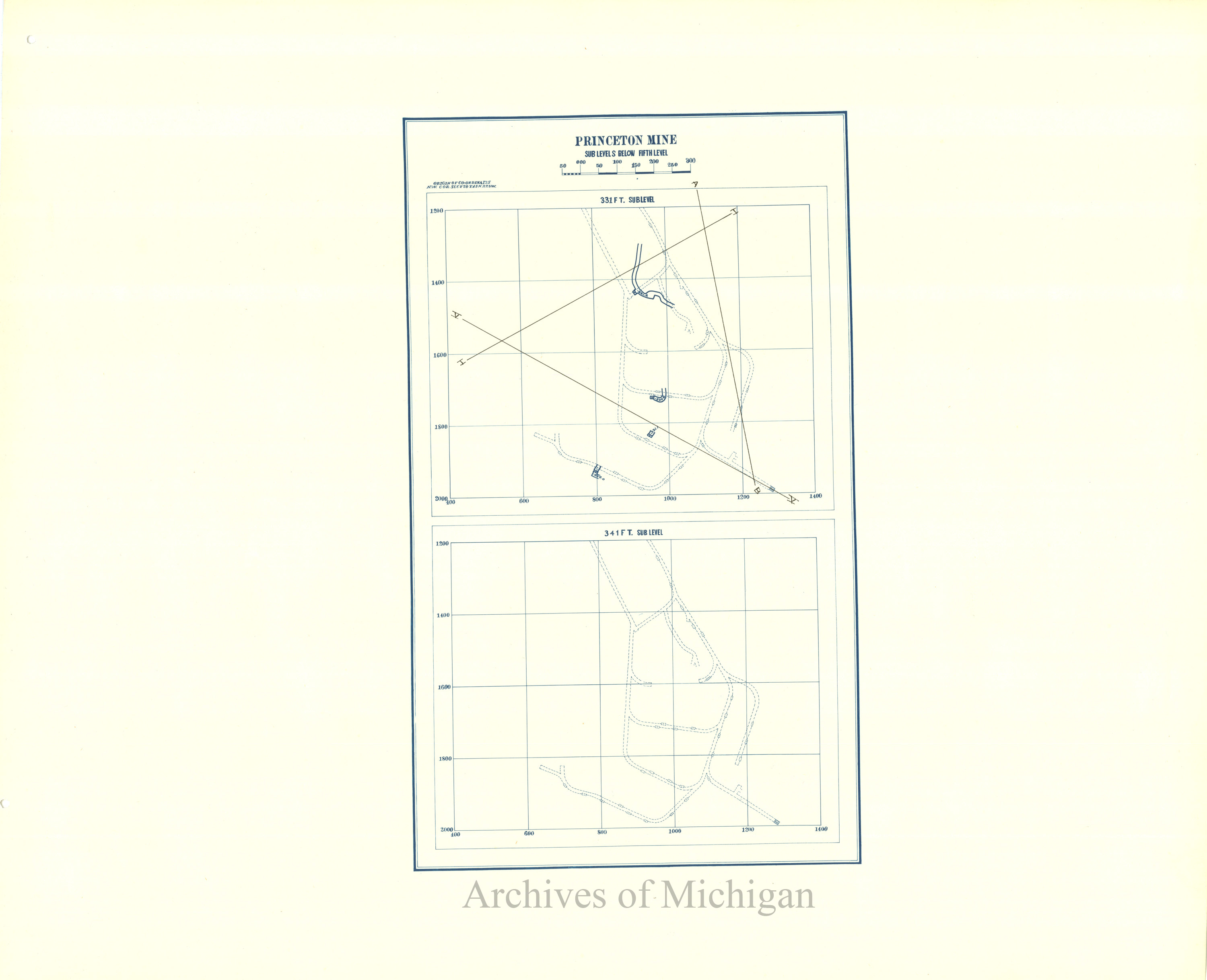
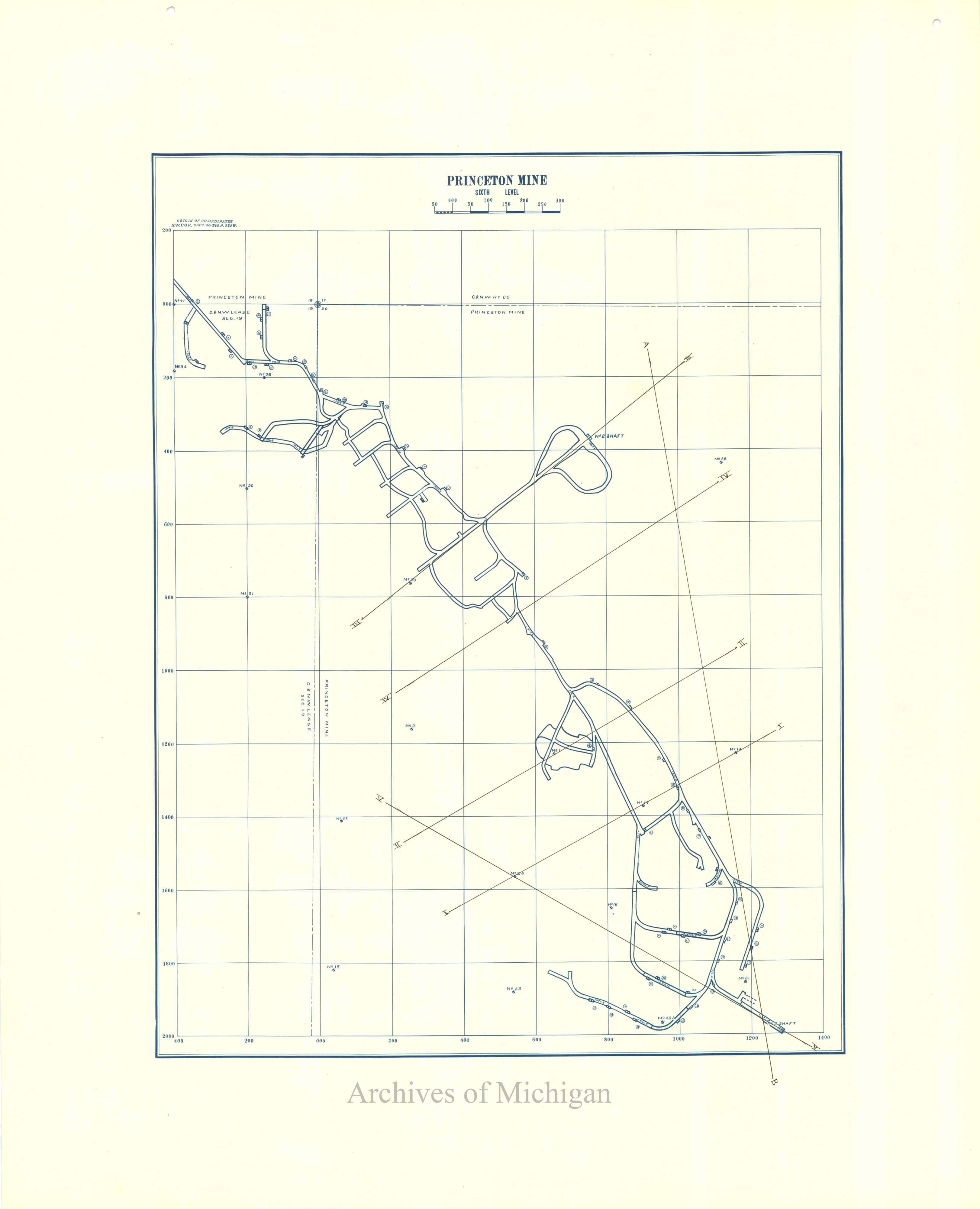
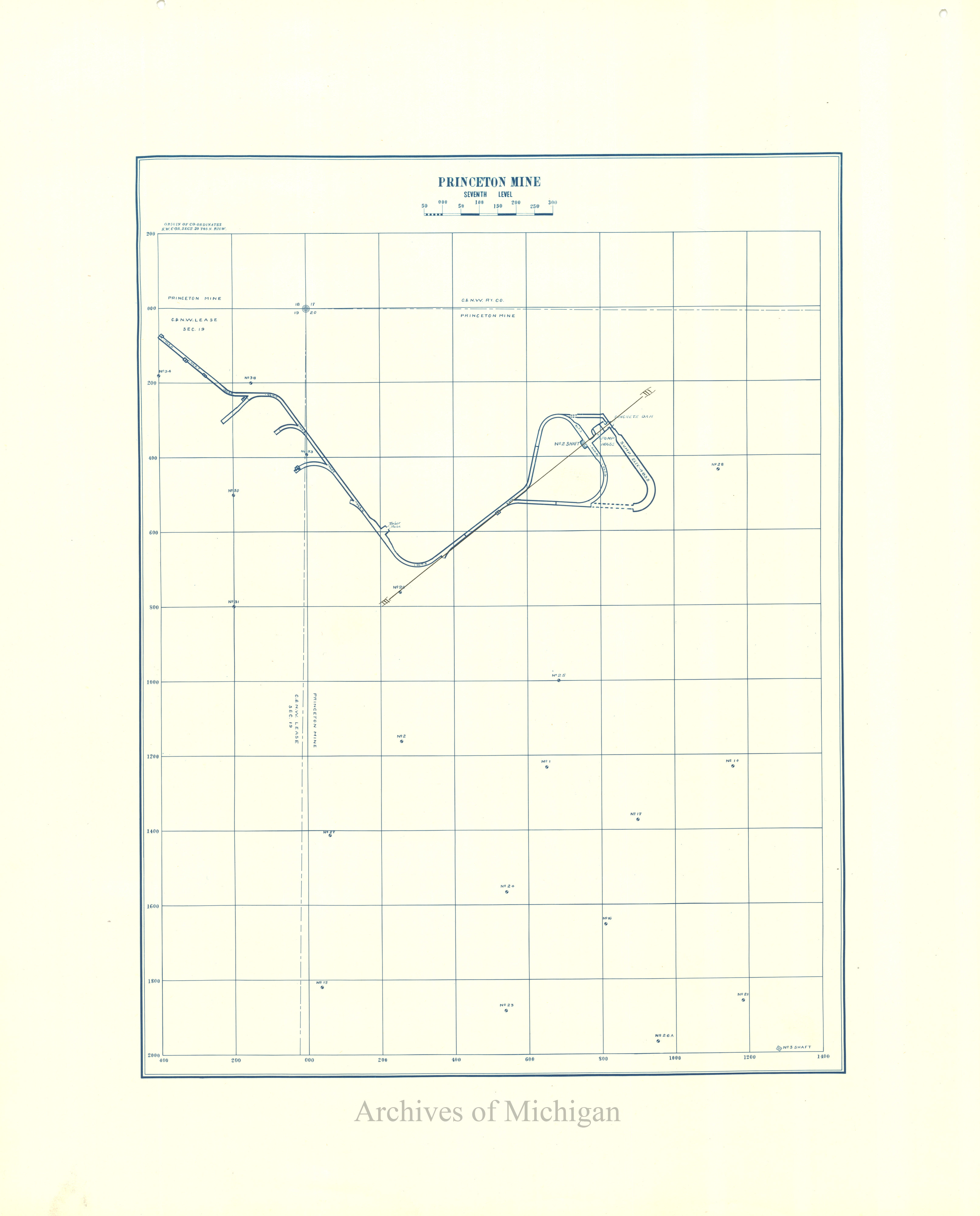
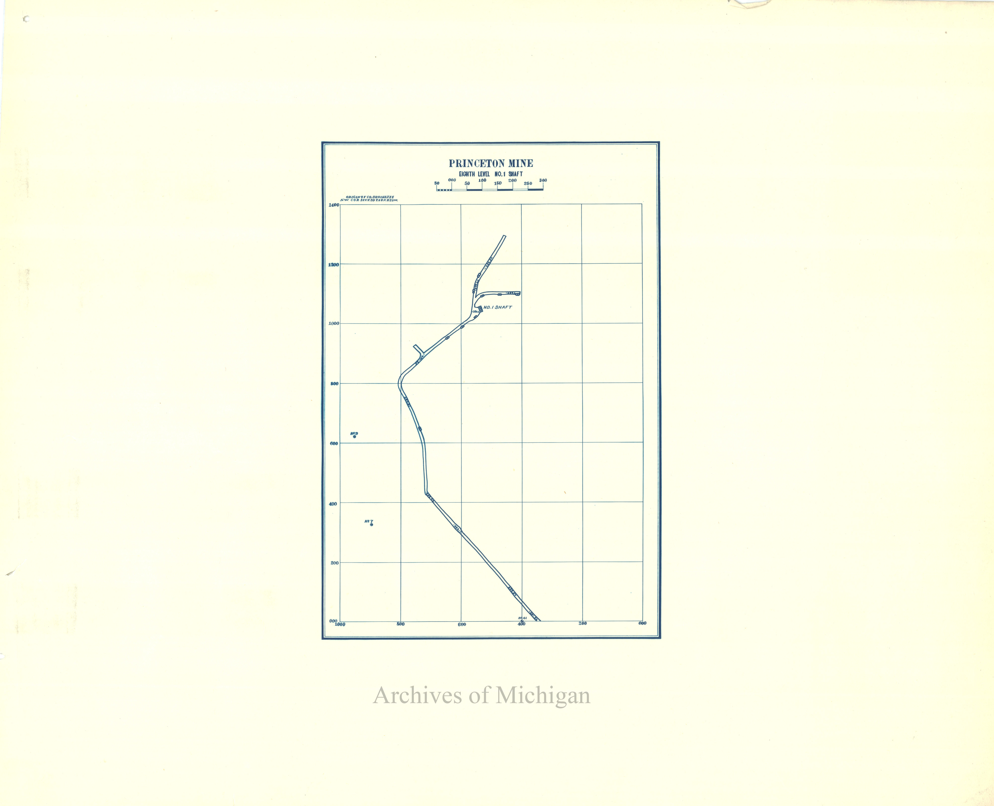
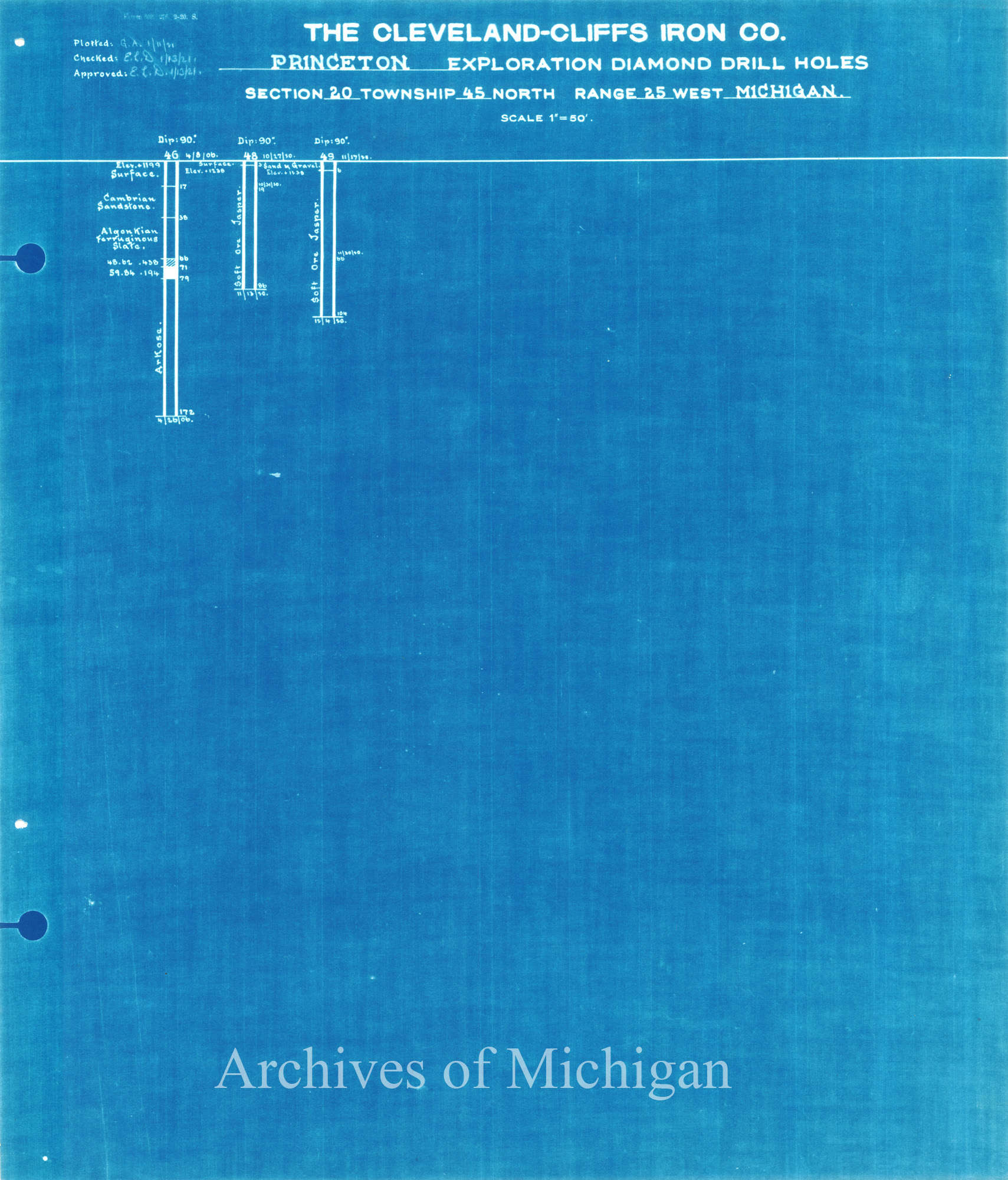
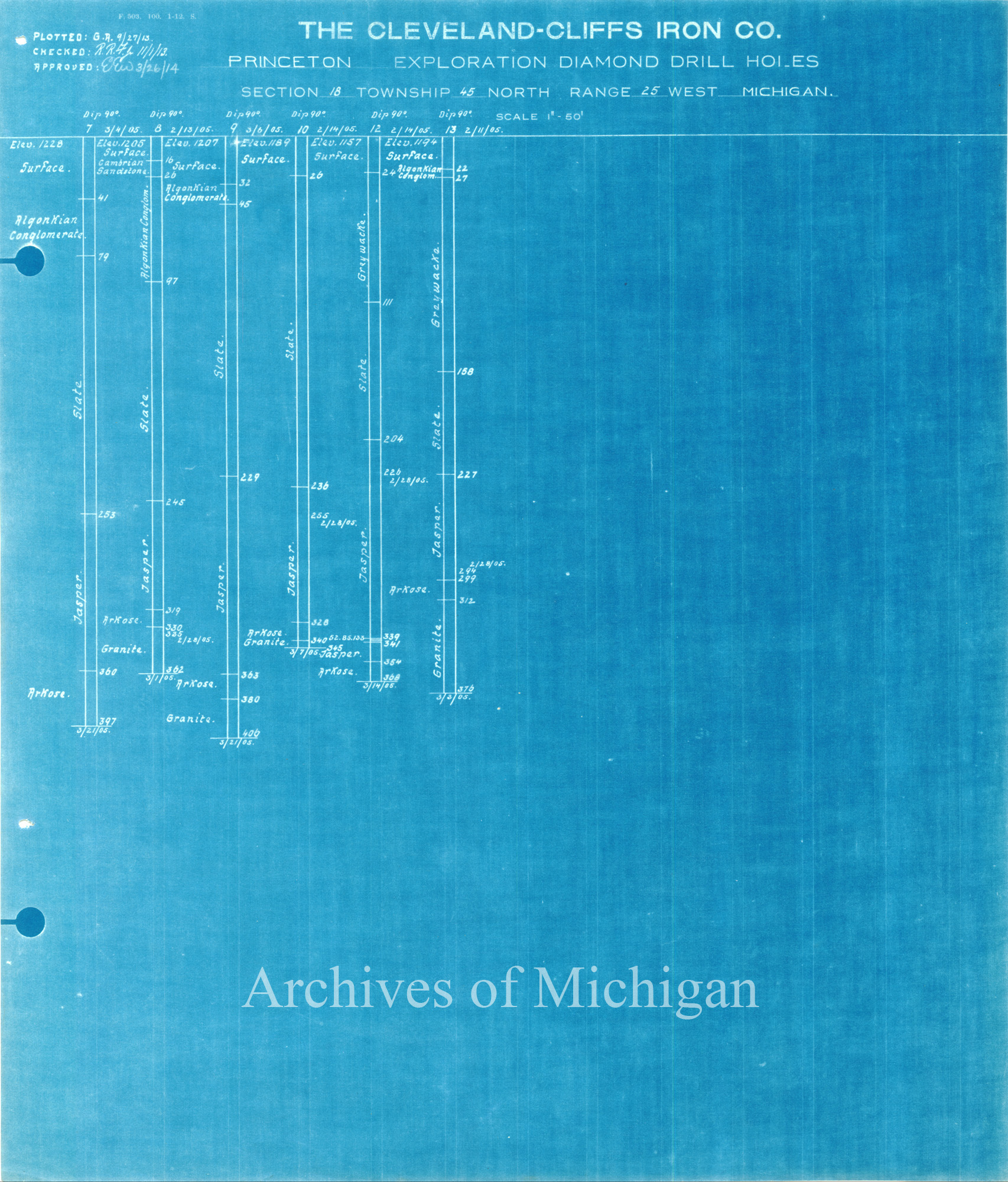
Plans of Princeton Mine (28 Plans) 1910 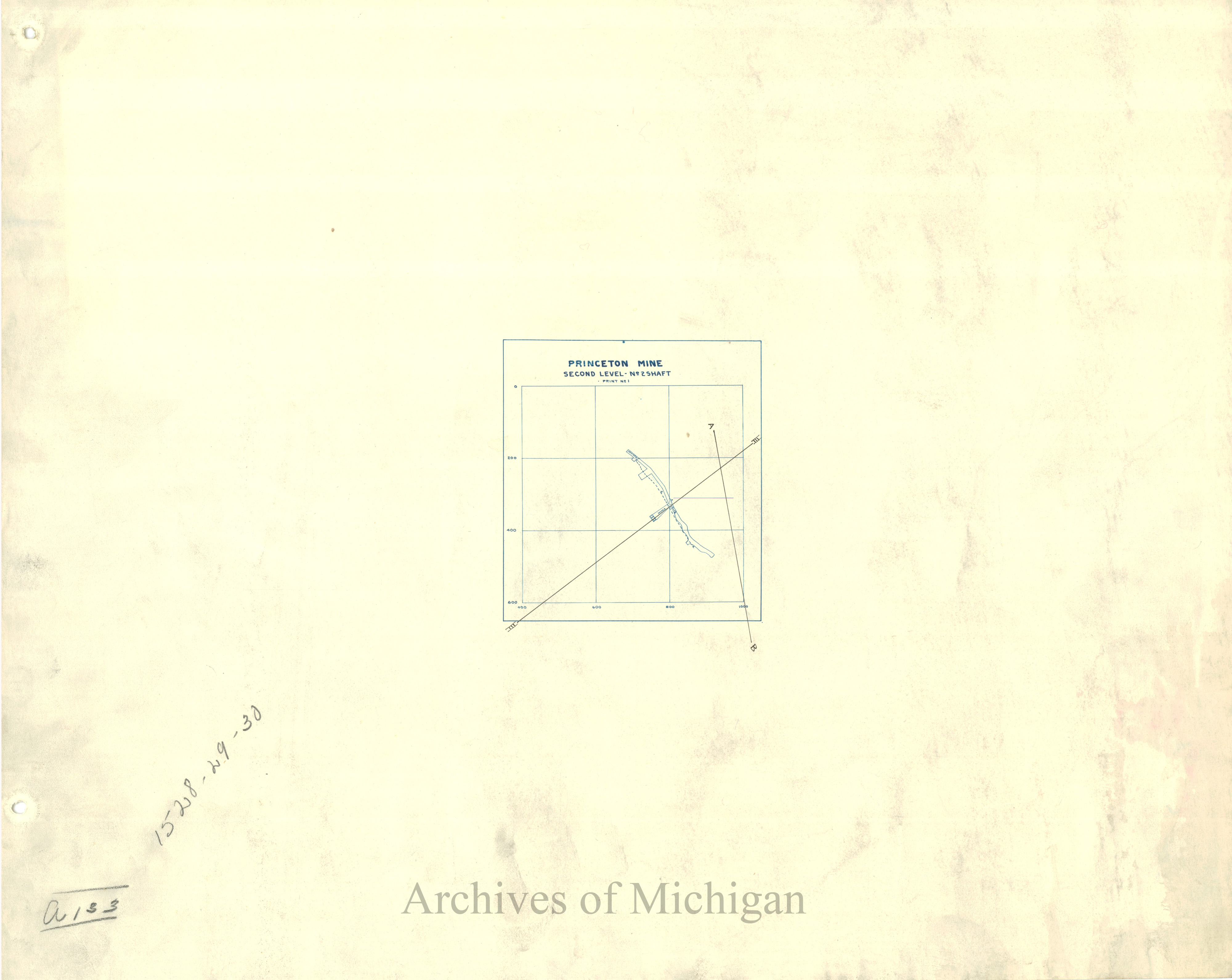
|
||||||||||||||||
|
Princeton Mine No. 2 Showing Proposed Stocking Ground, Forsyth 1910 (2 maps) 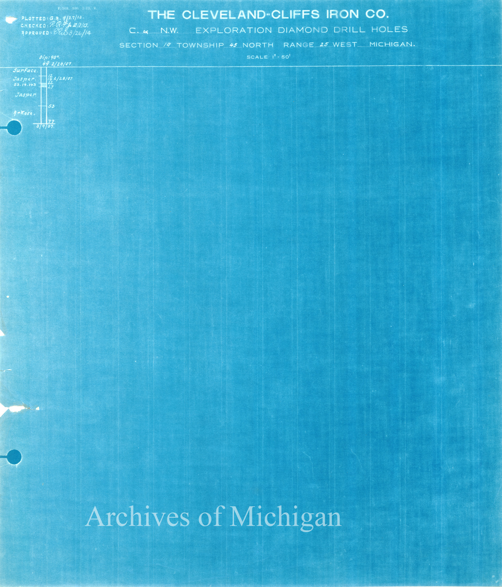
|
||||||||||||||||
|
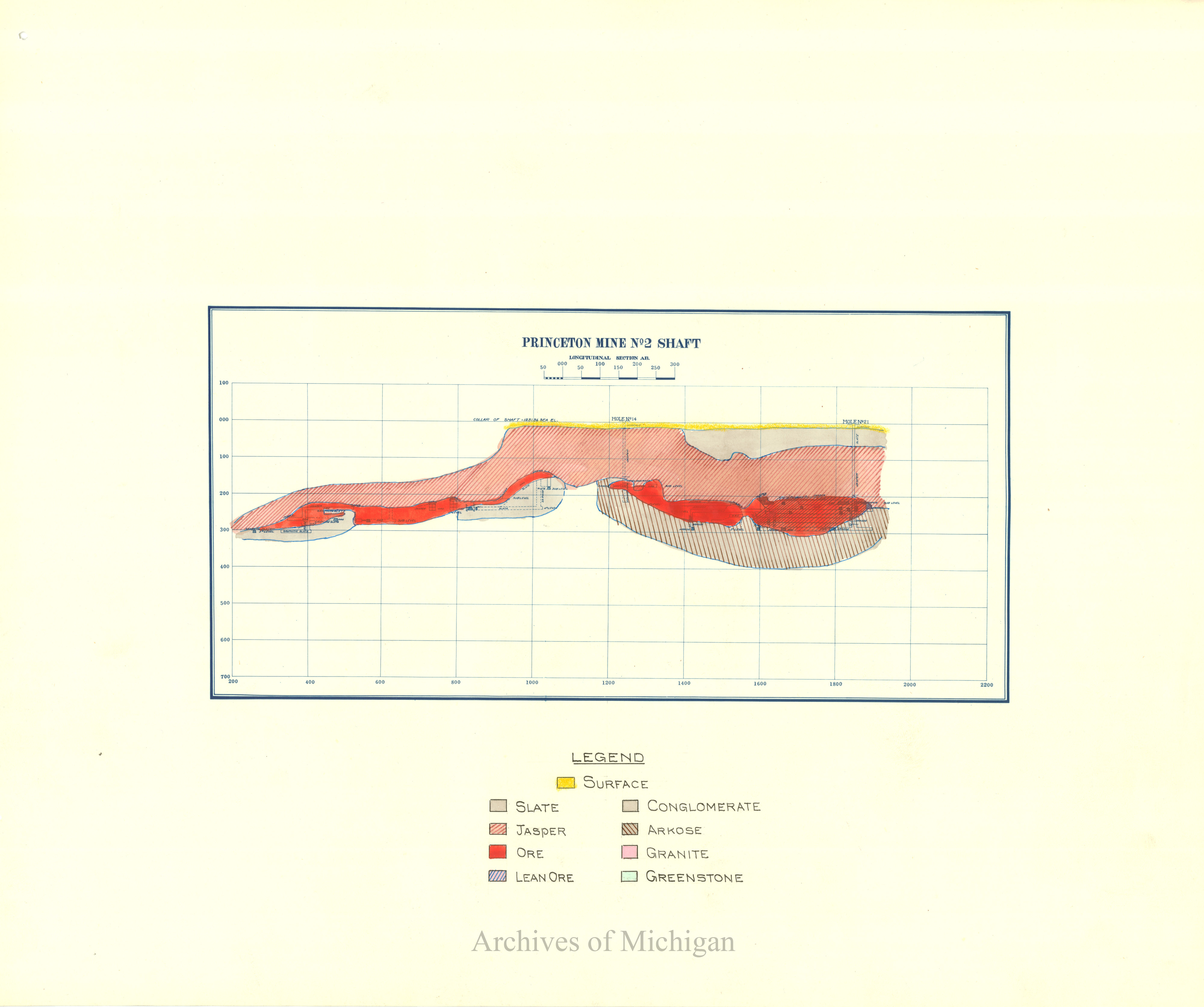
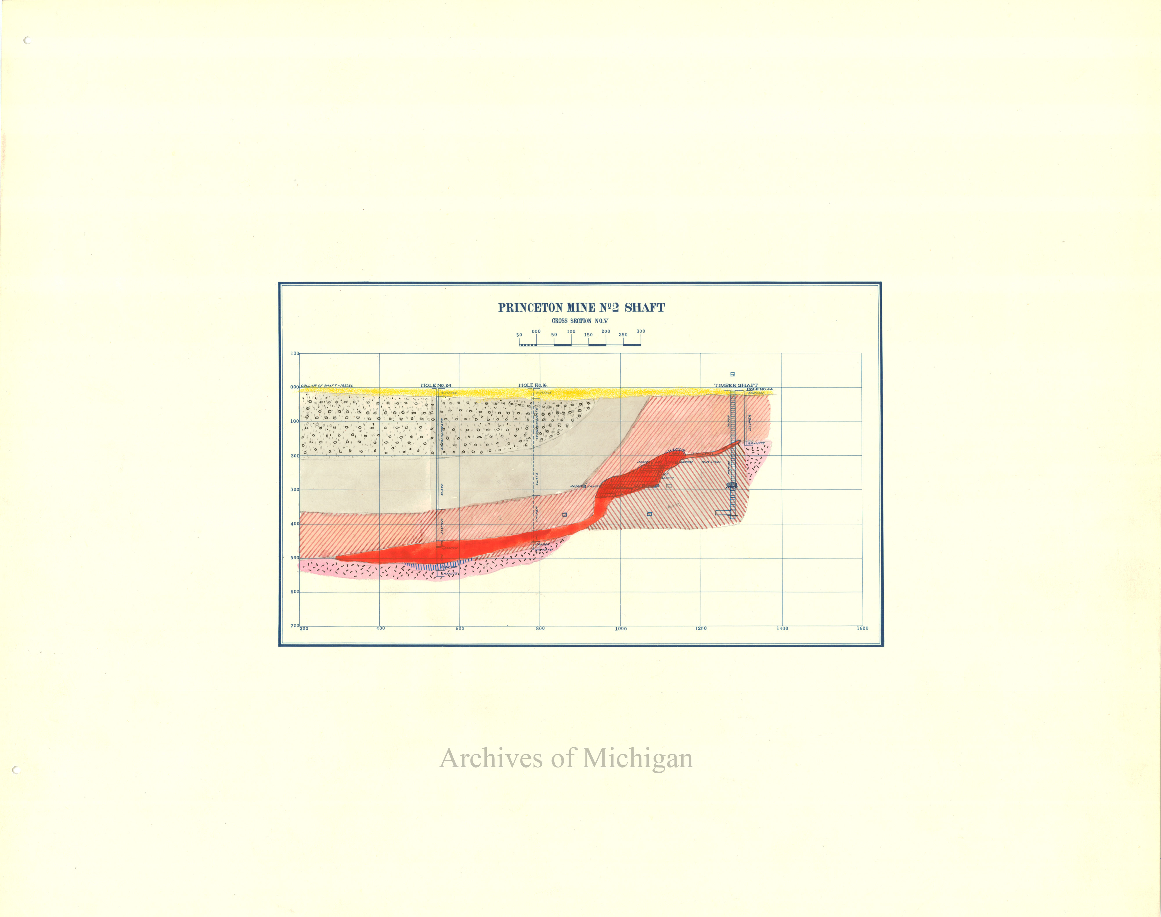
Princeton Mine No. 2 Shaft Showing Cross Sections No.2 Forsyth 1910 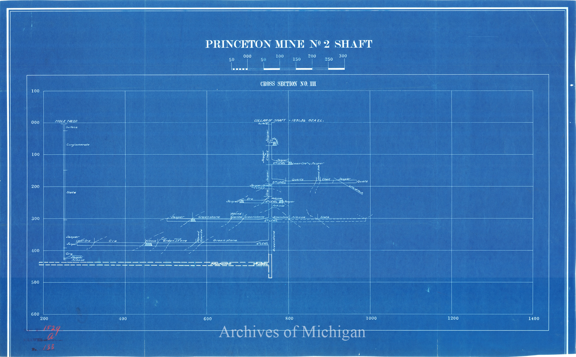
|
||||||||||||||||
|
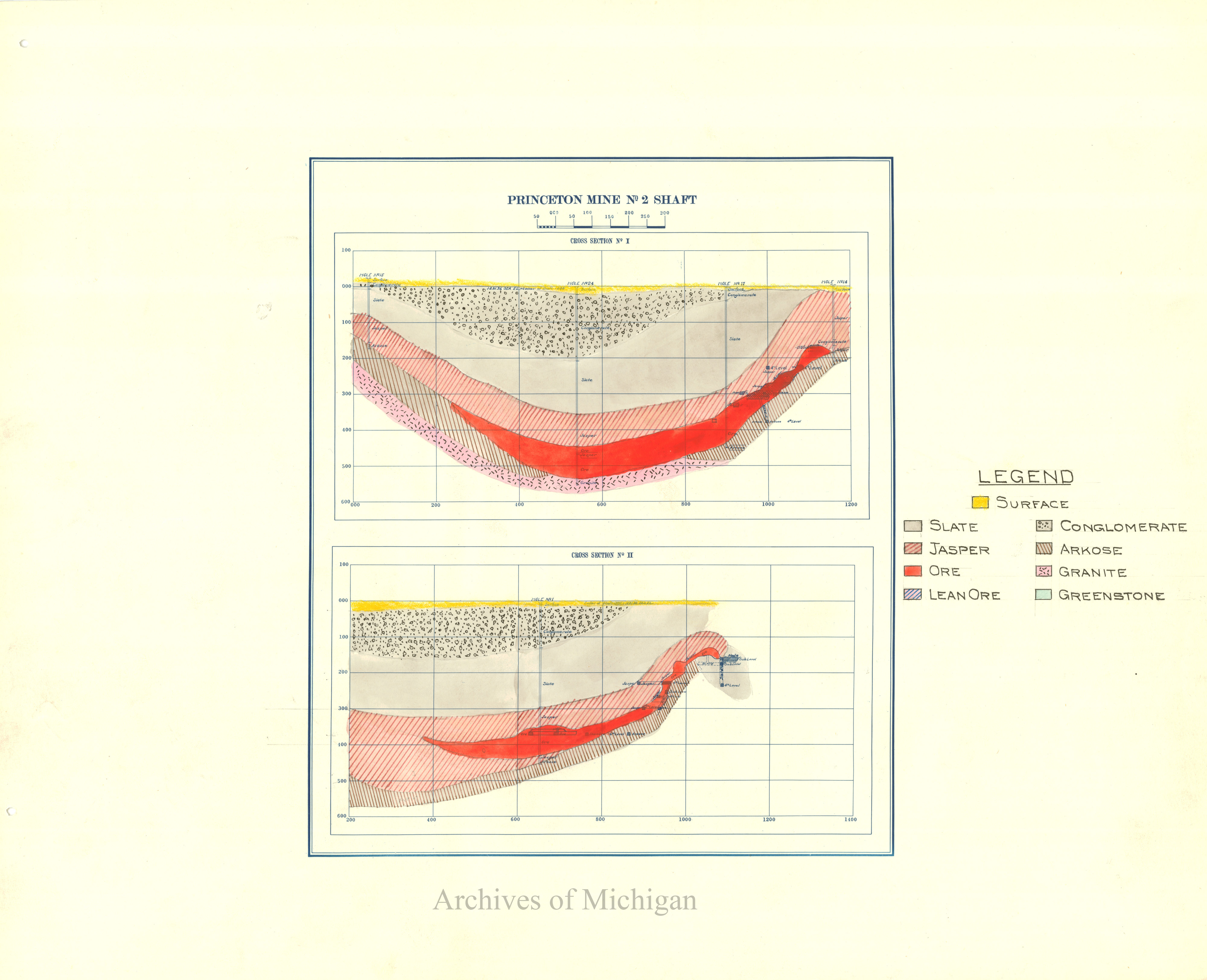
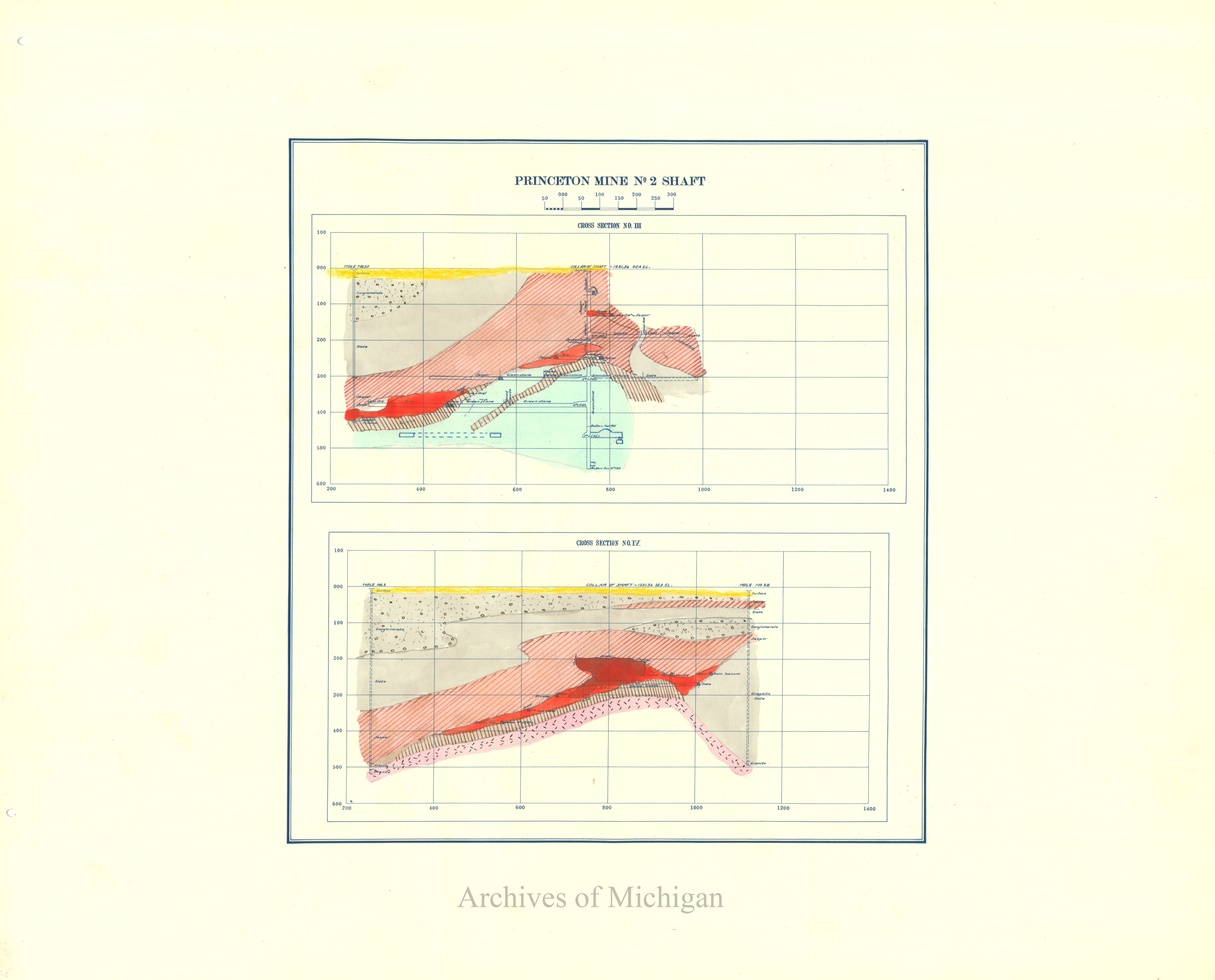
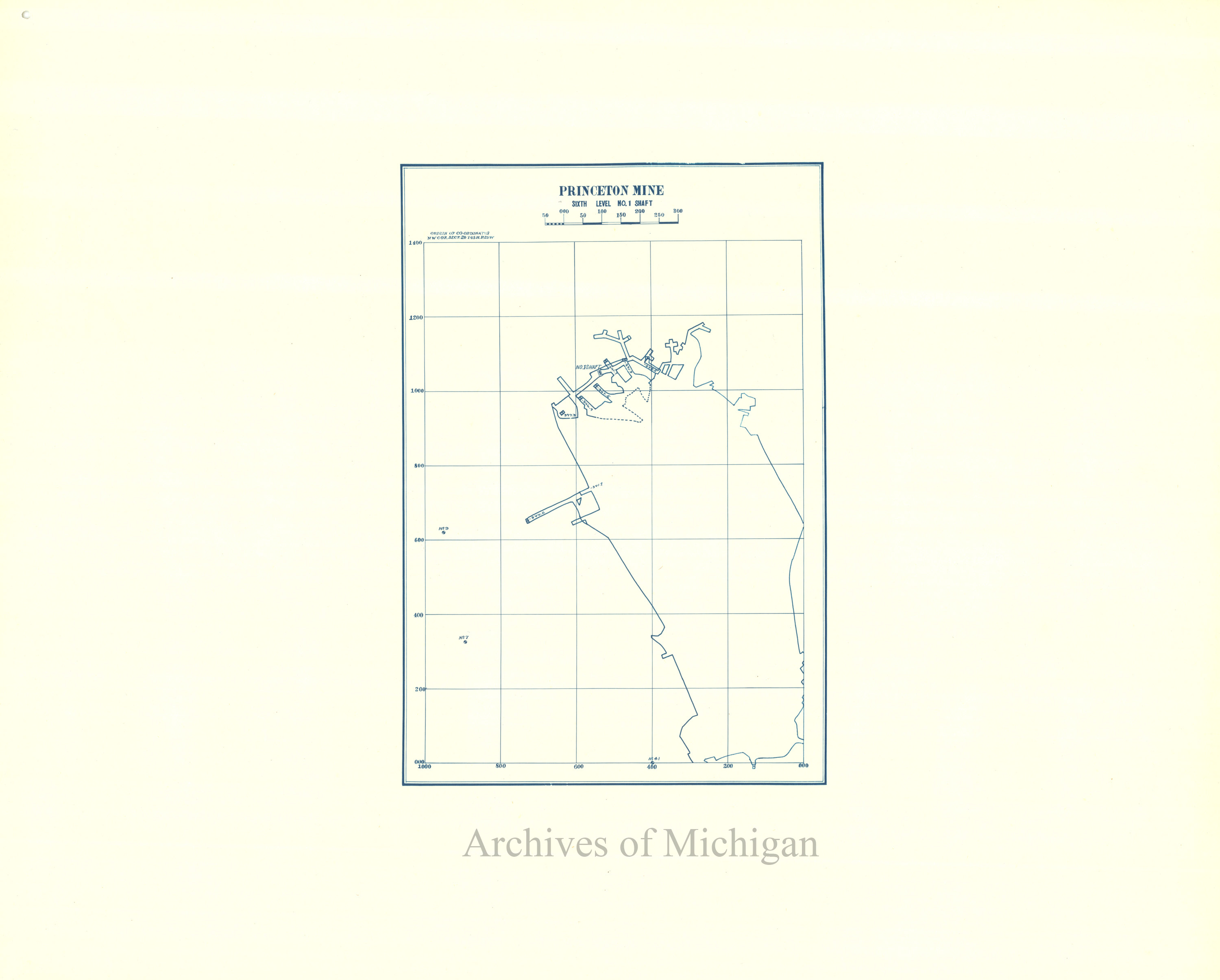
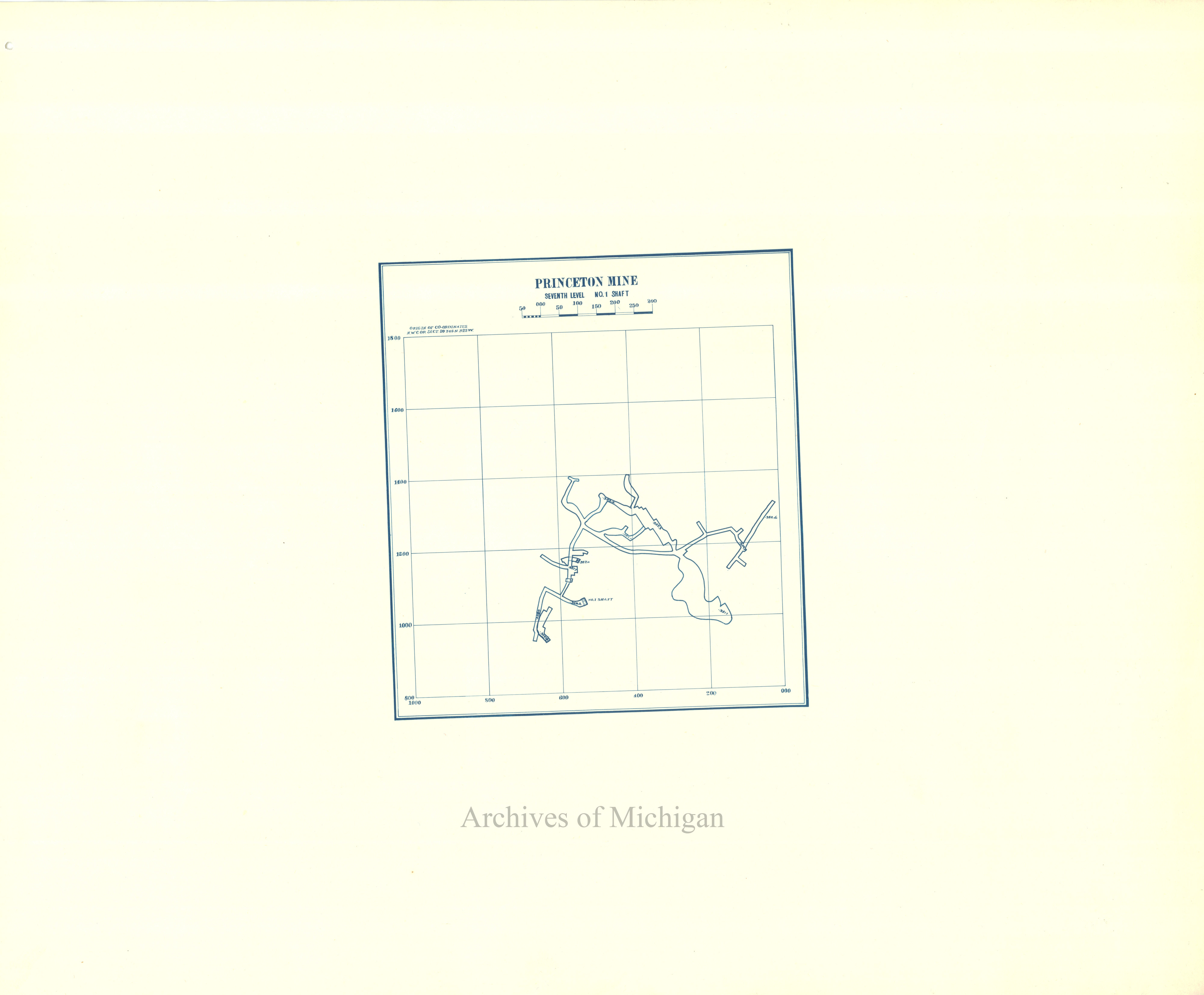
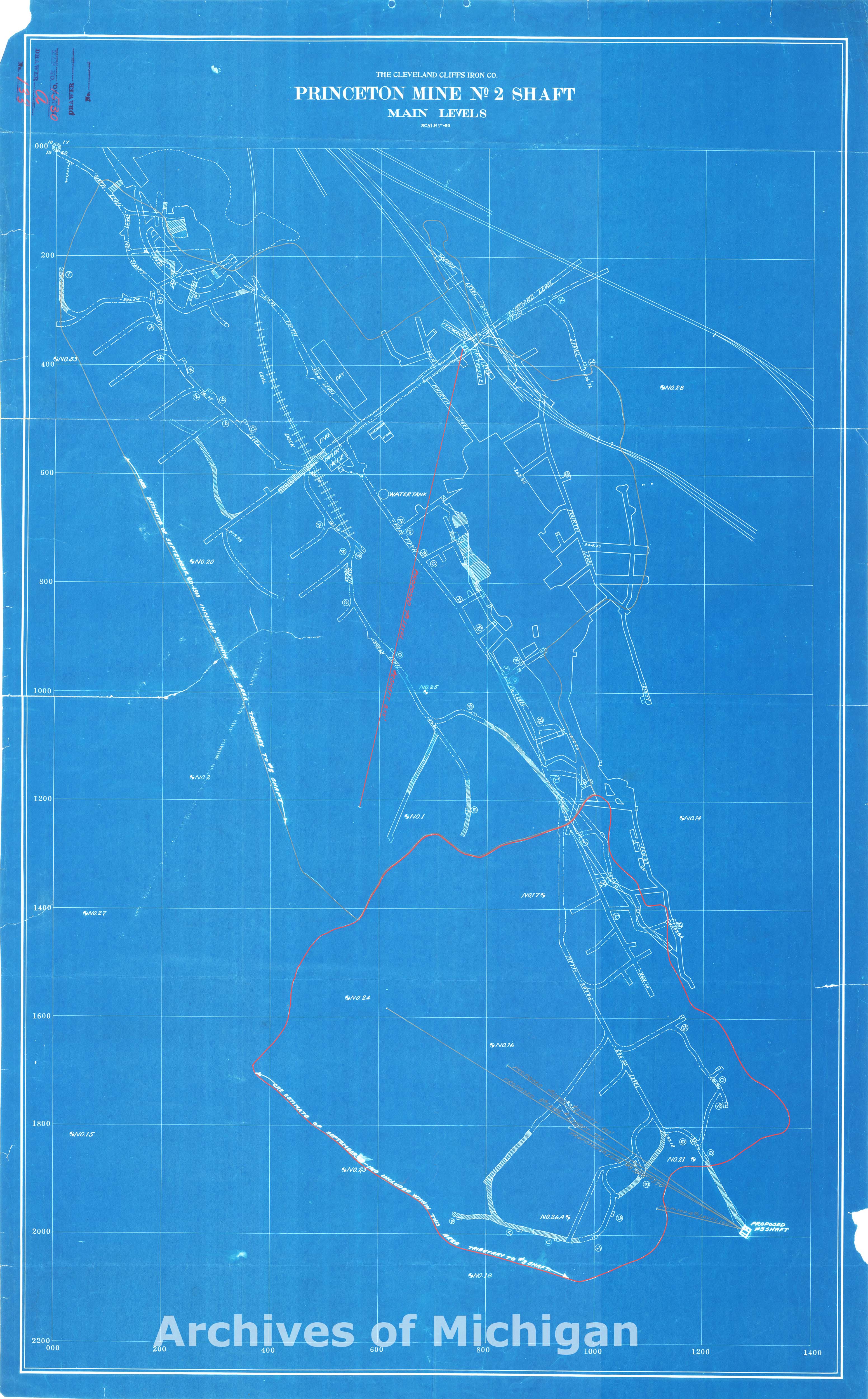
Princeton Mine No. 2 Shaft Main Levels 1910 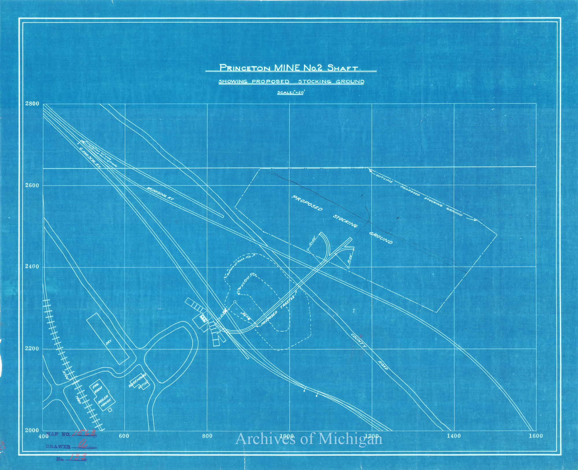
|
||||||||||||||||
|
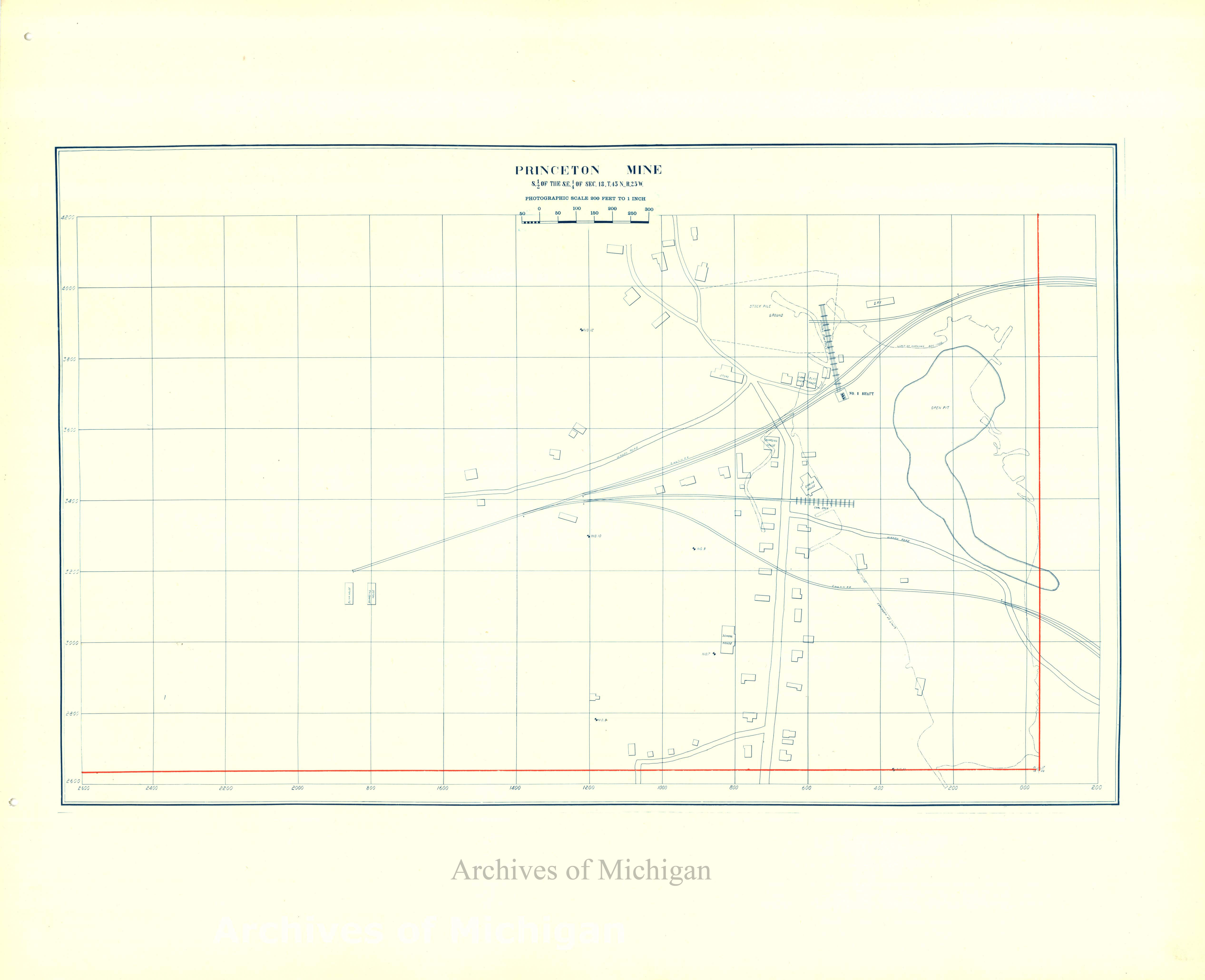
Princeton Mine Suface Layout at No. 2 Shaft and Proposed No.3 Shaft Sec. 20T.45N.,R.25W., Forsyth 1910 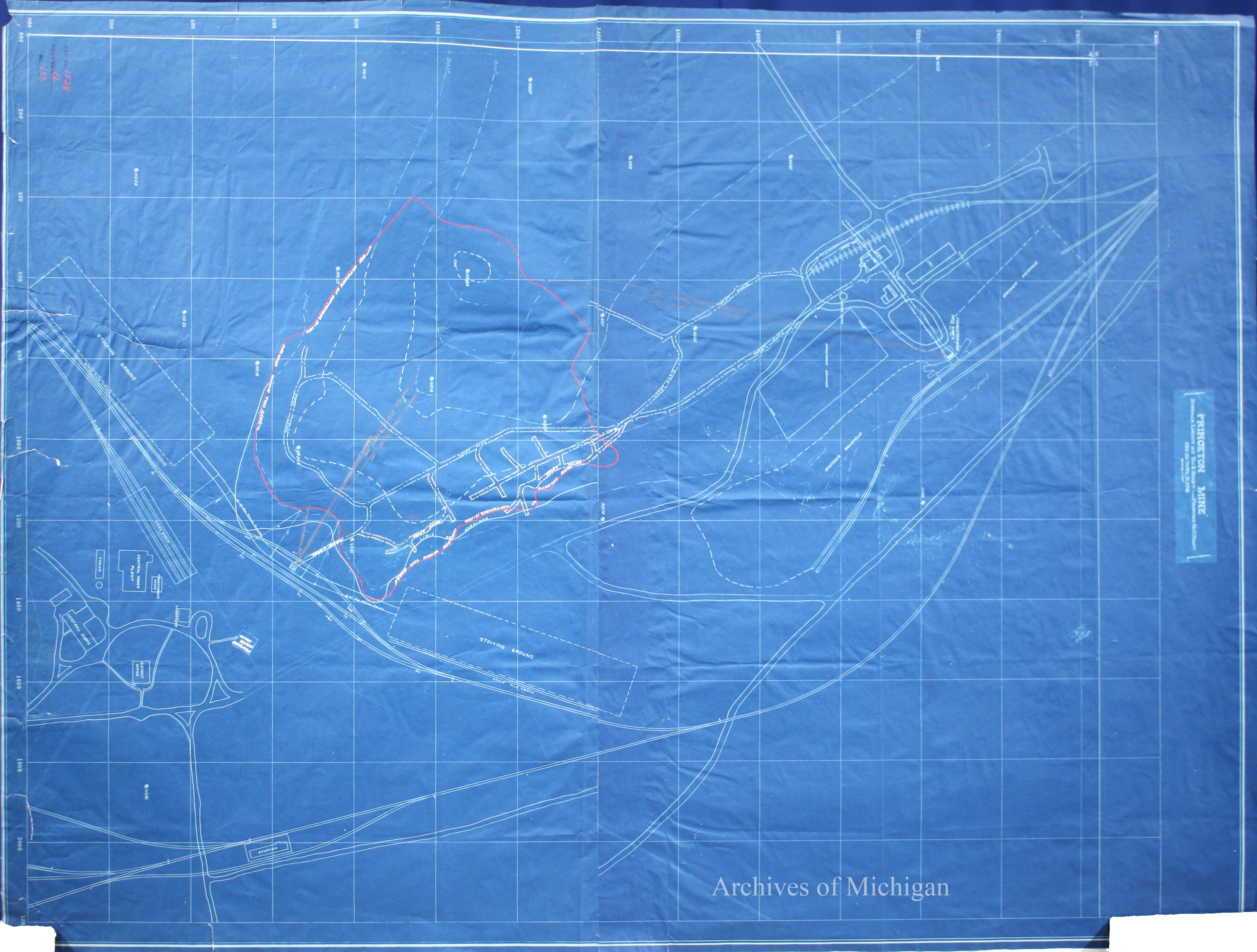
|
||||||||||||||||
|
Prescott Company General Layout of Mill, Menomoniee 1918 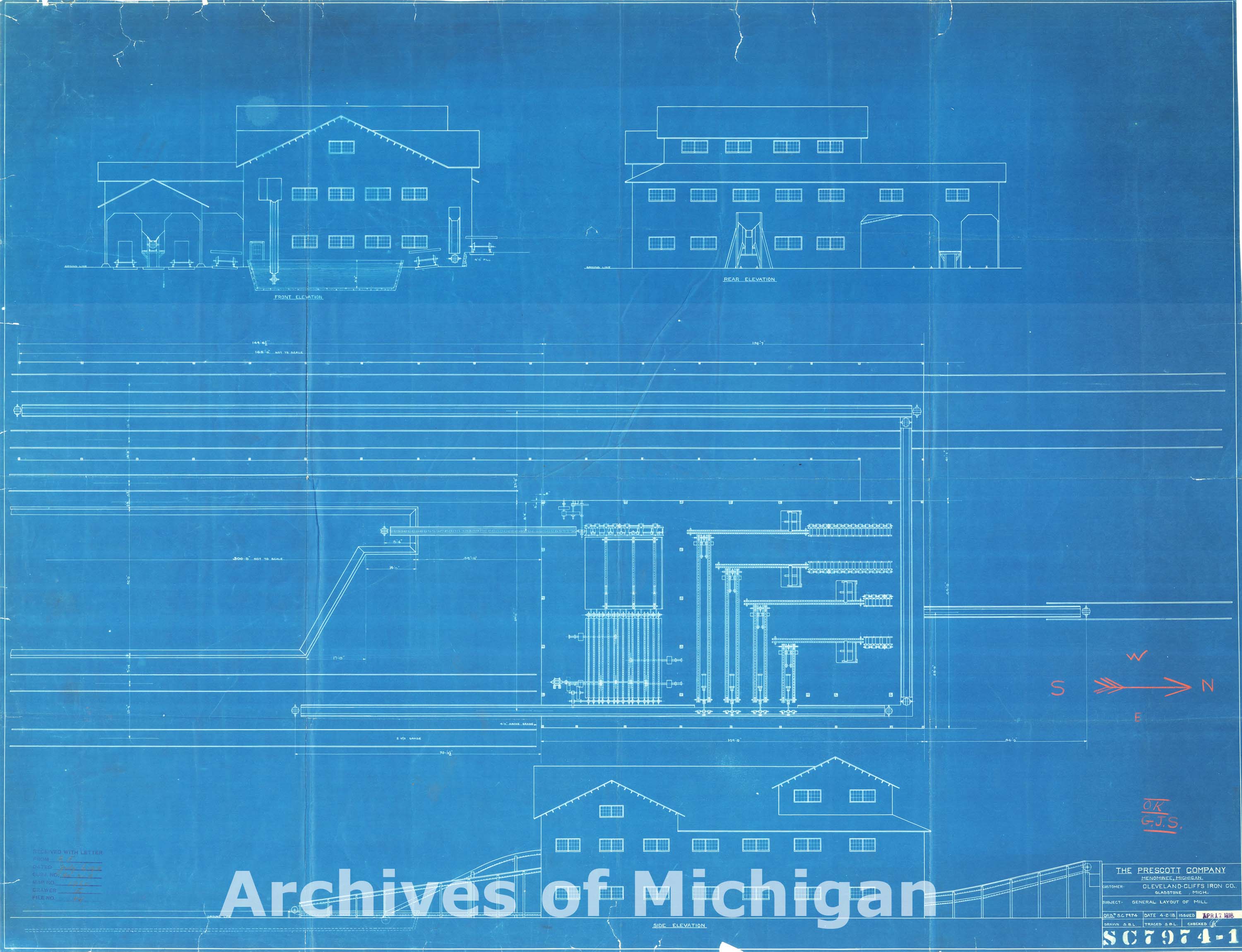
|
||||||||||||||||
|
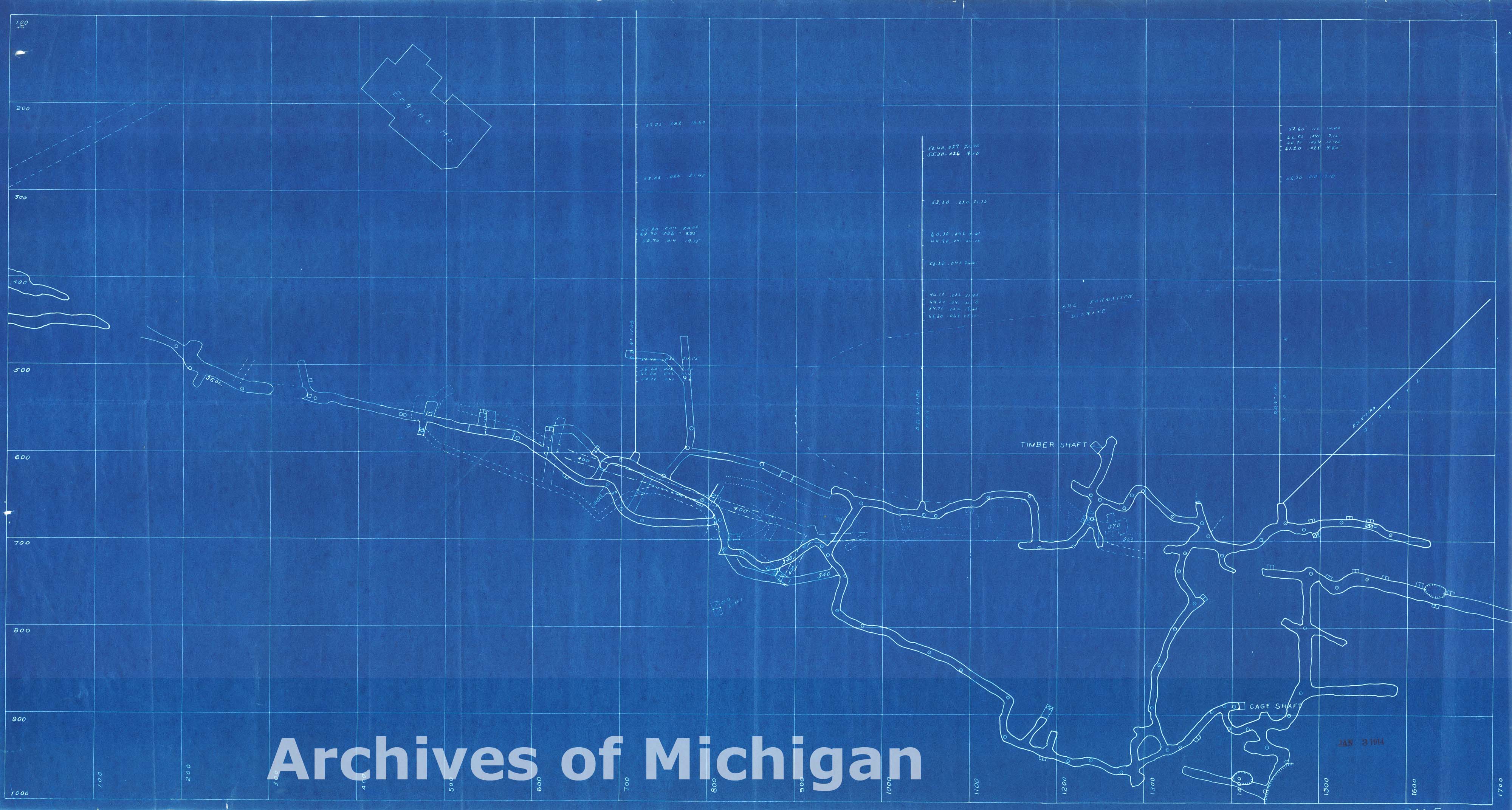
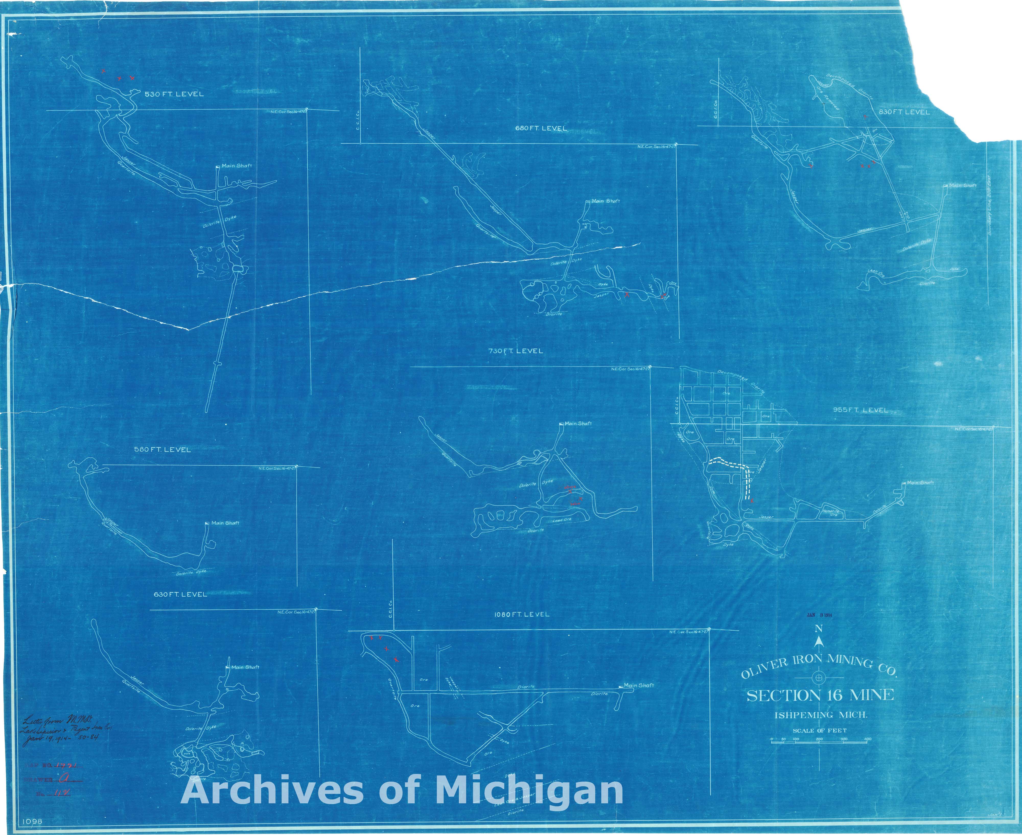
Olivier Iron Mining Company Section 16 Mine Ishpeming (15 maps) 1914 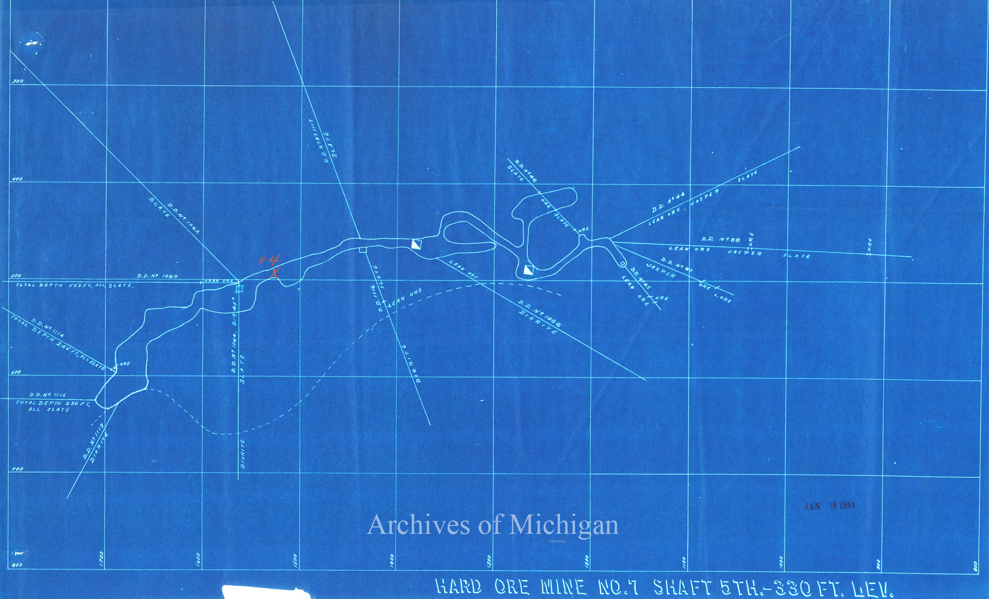
|
||||||||||||||||
|
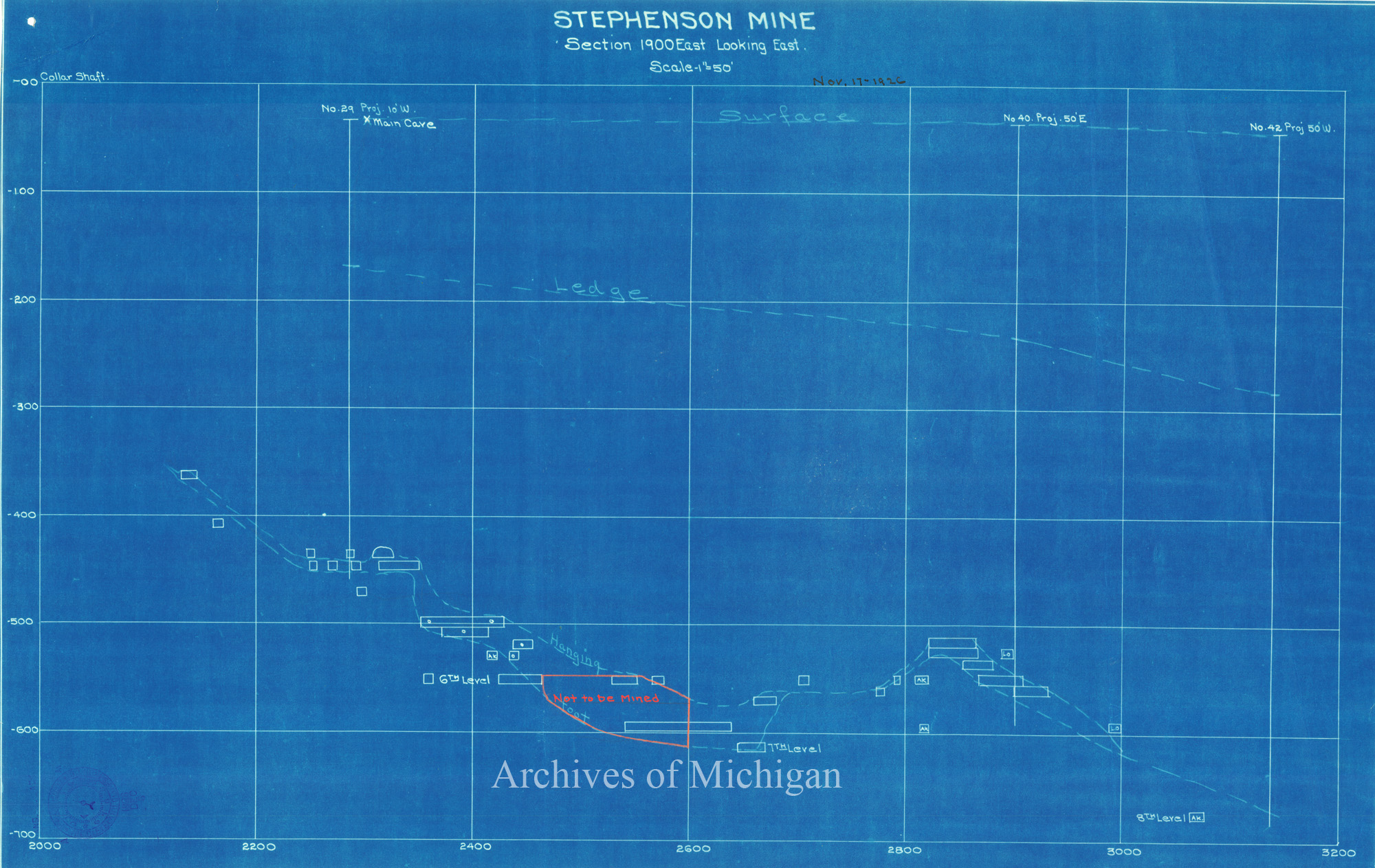
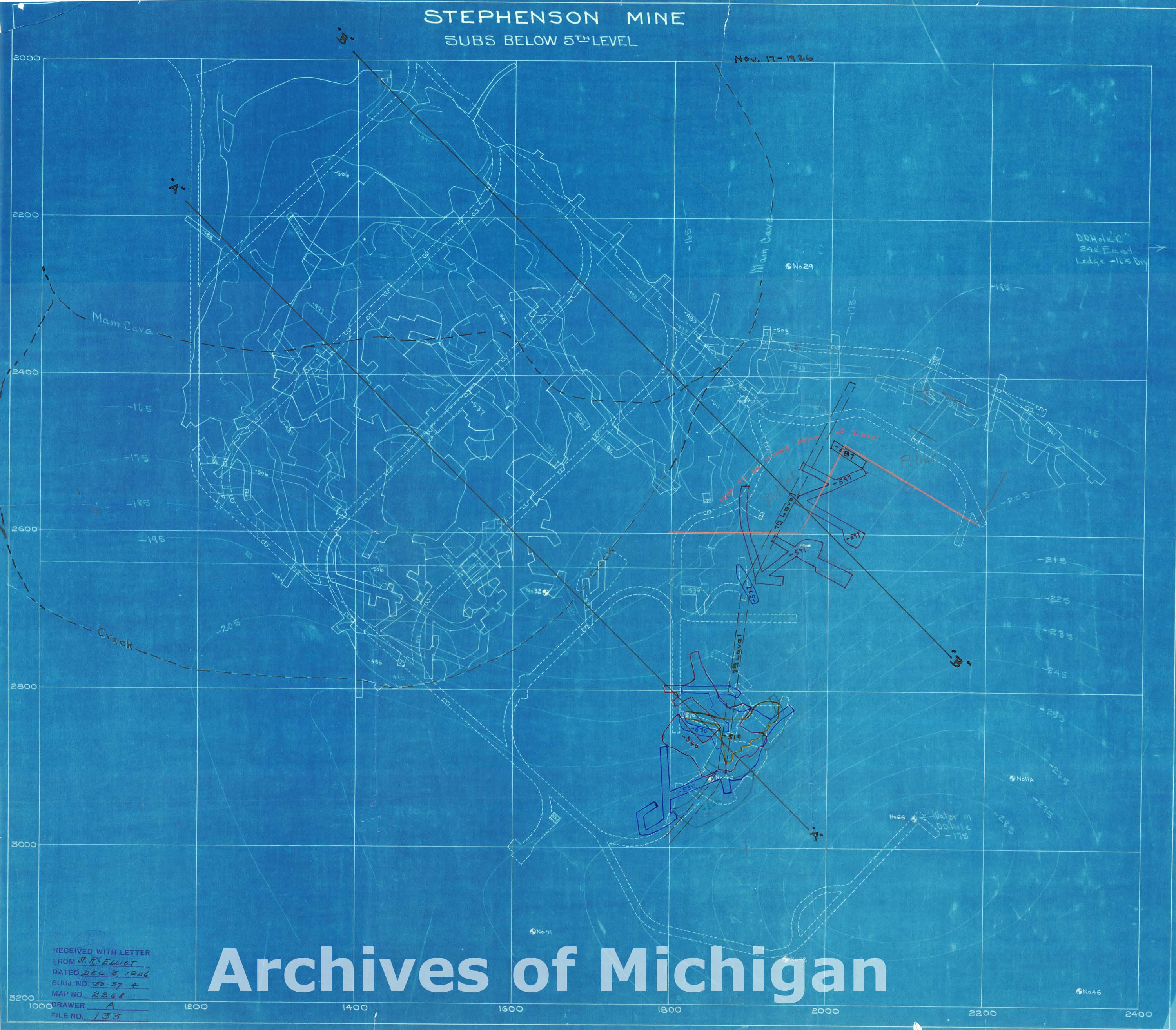
Plan of Stephenson Mine (4 Maps) 1926 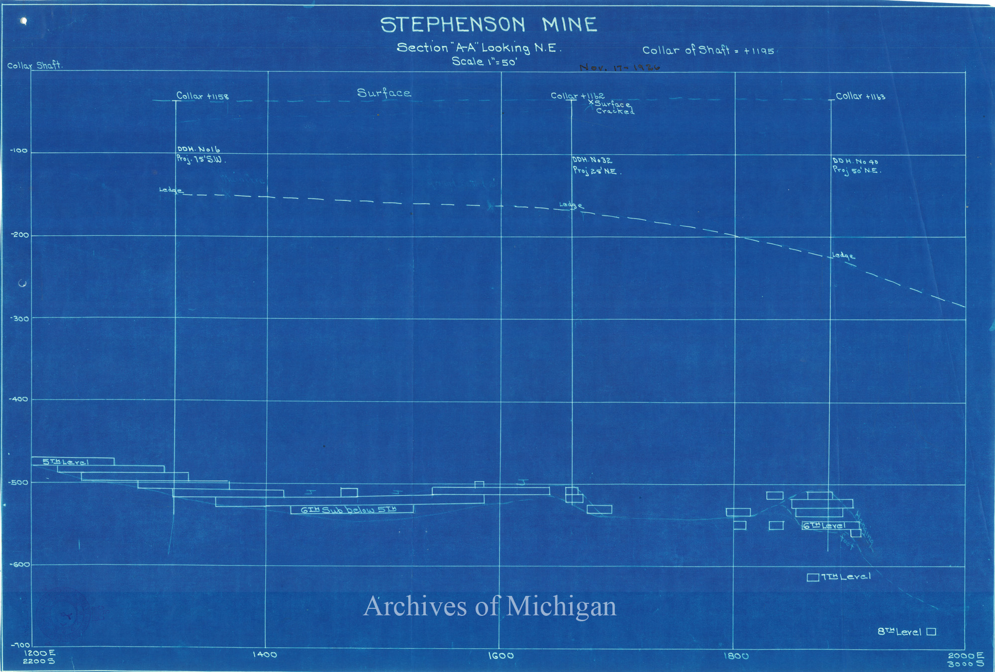

|
||||||||||||||||
|
Plan of Stephenson Mine Sixth Level 1926 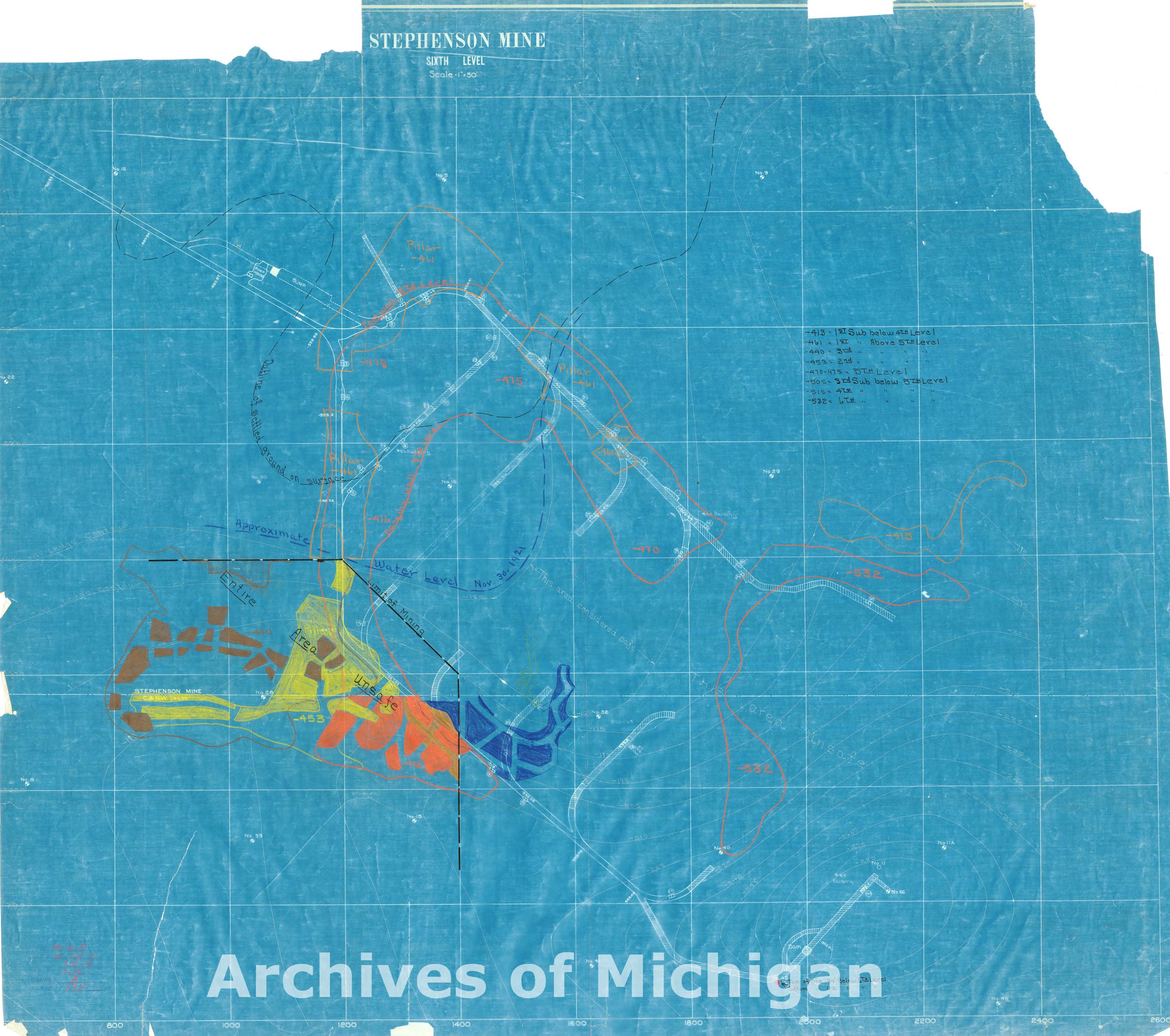
|
||||||||||||||||
|
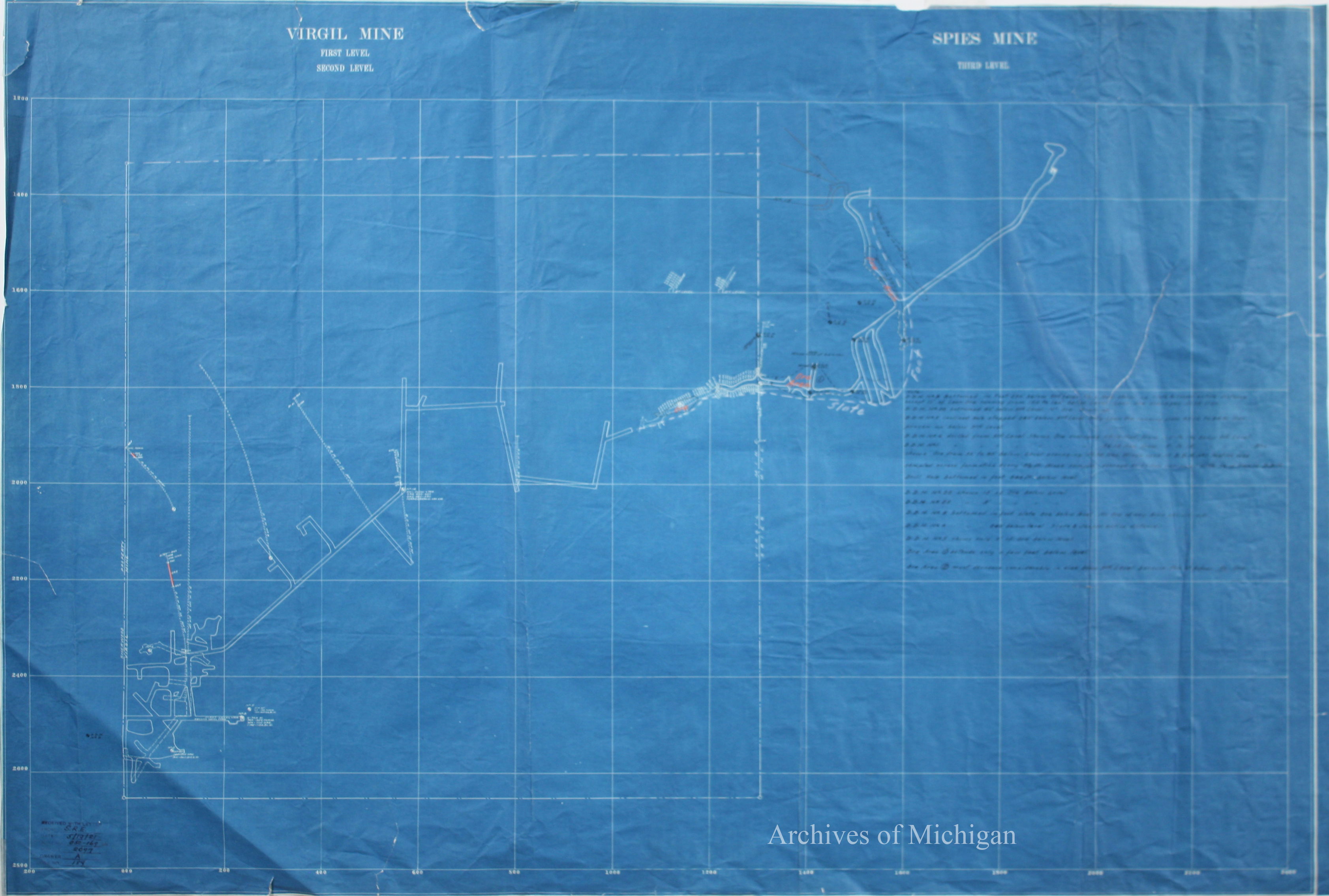
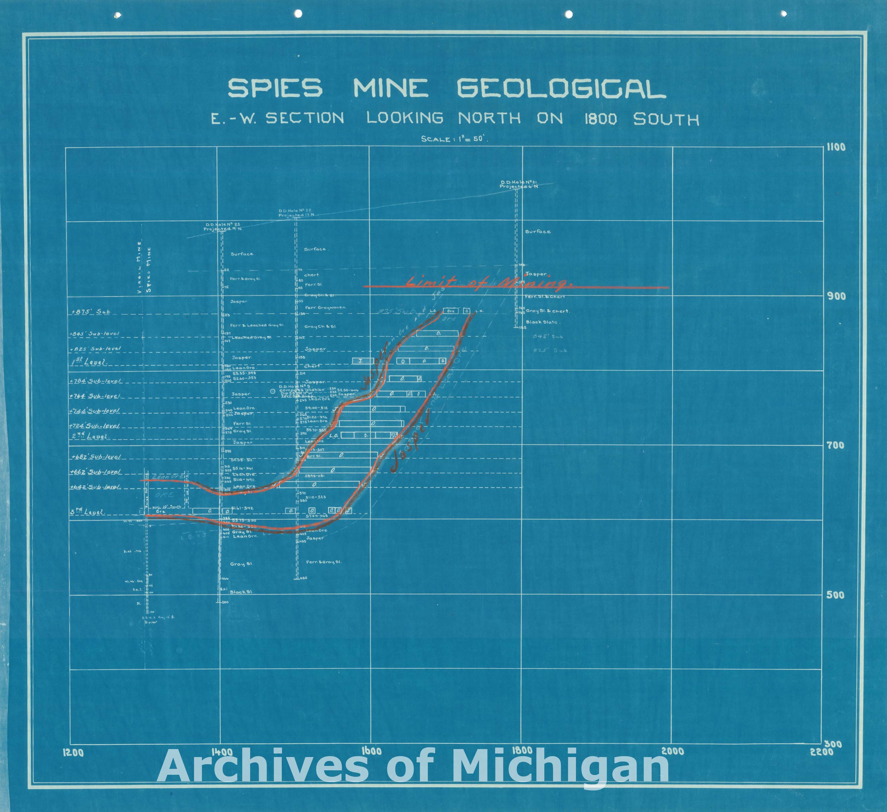
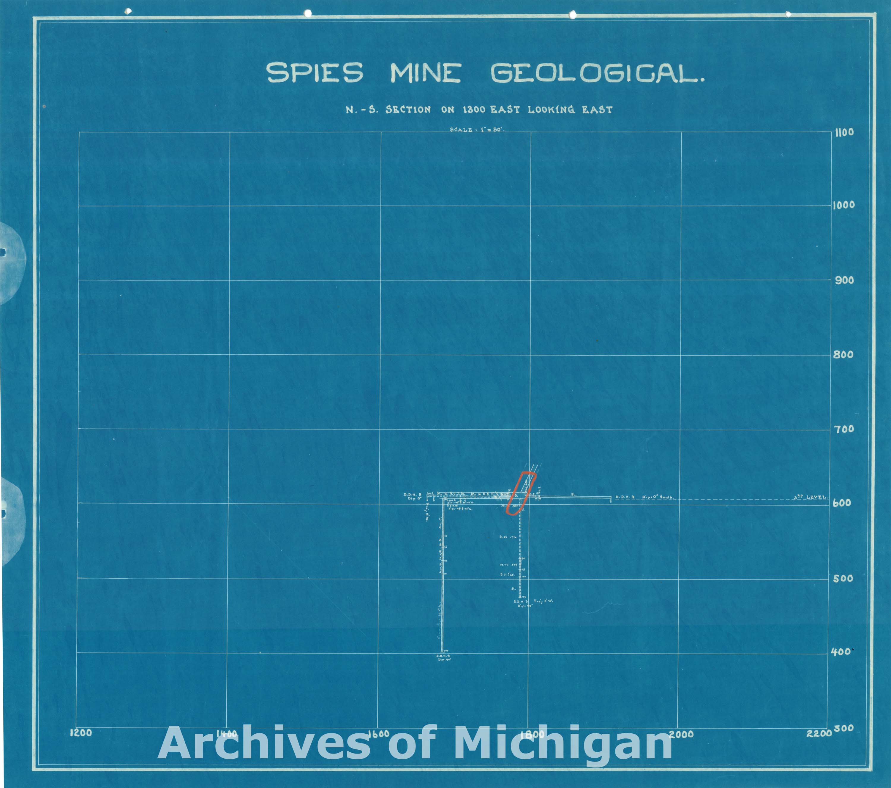
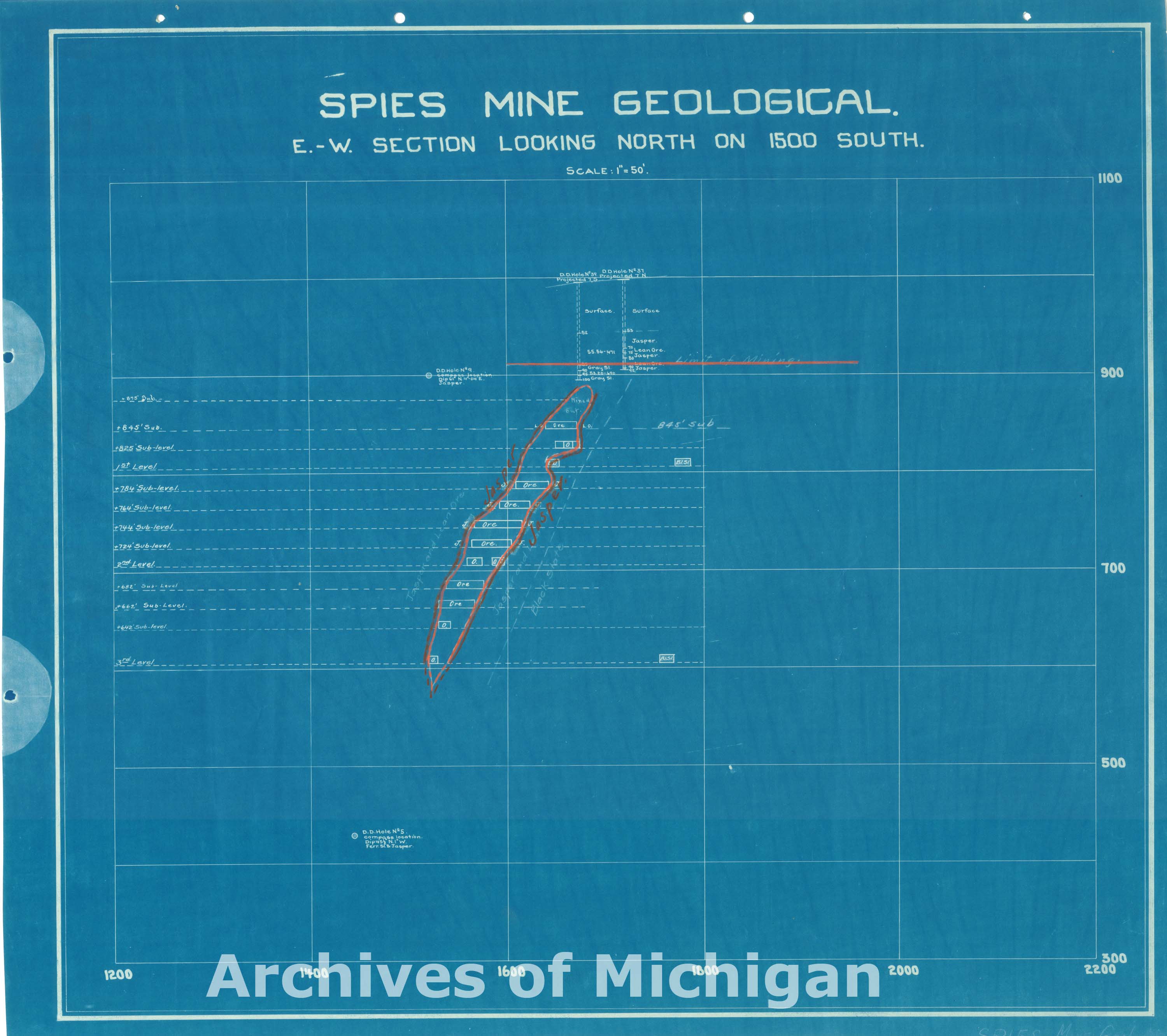
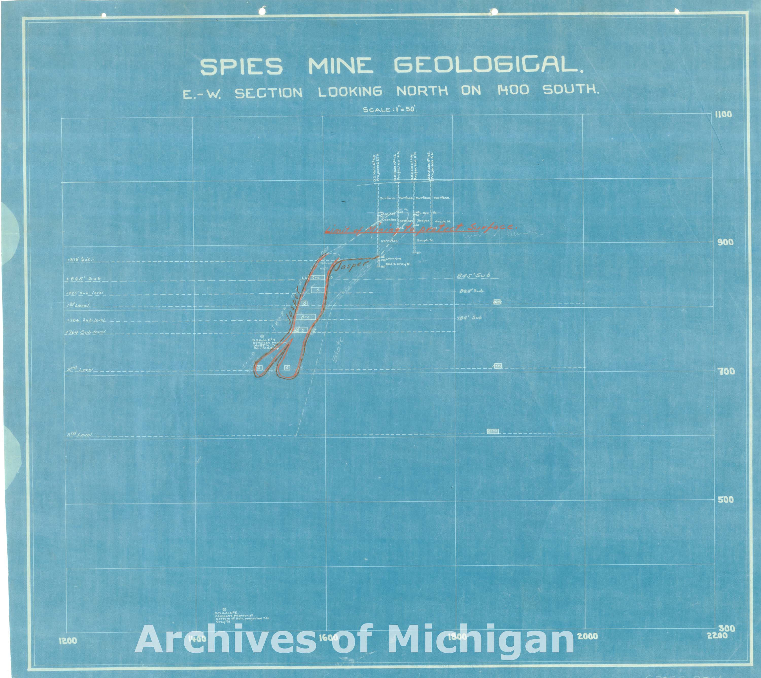
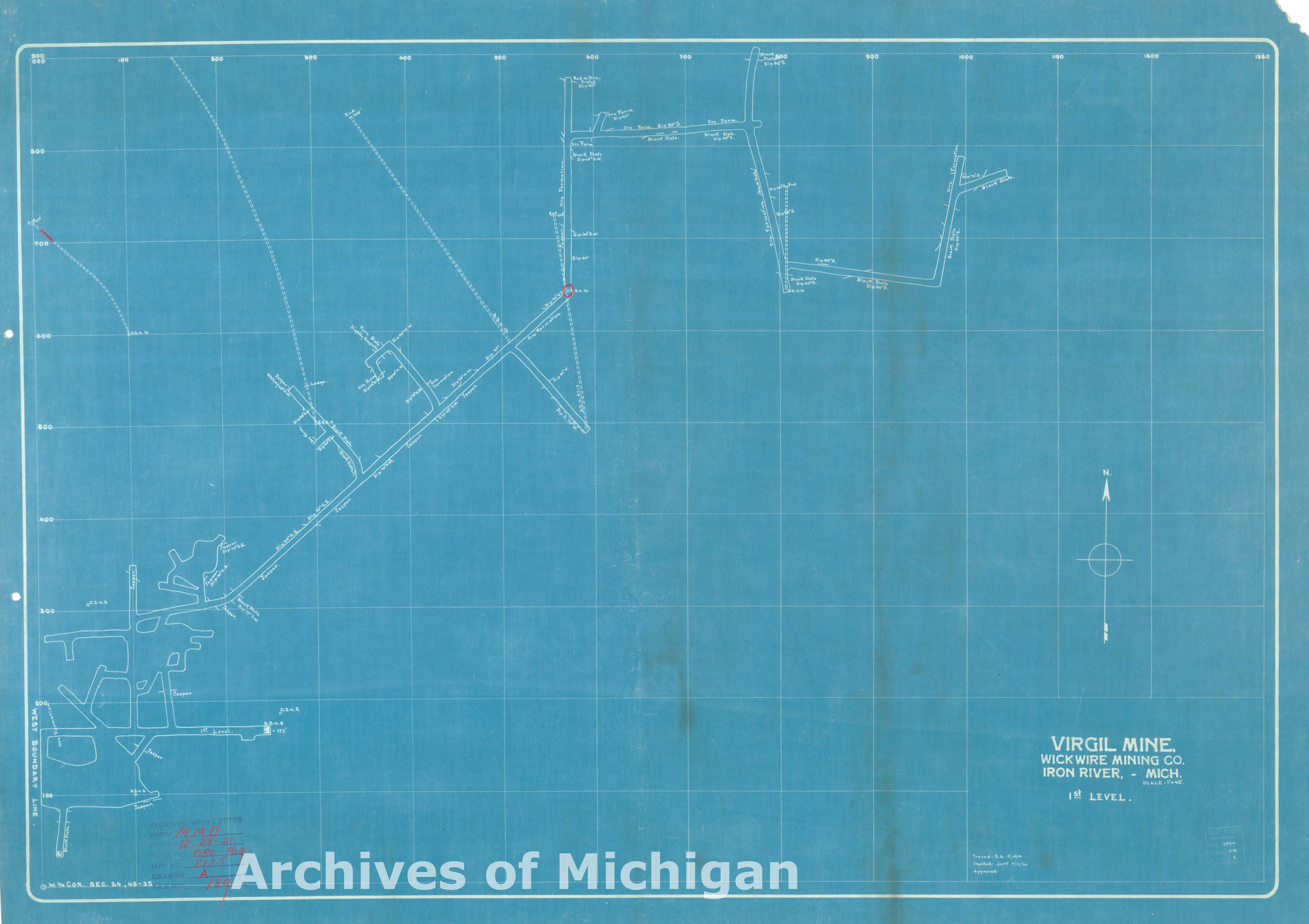
Map of Virgil Mine First Level, Spies Mine-Third Level, Iron River (2 maps) 1921 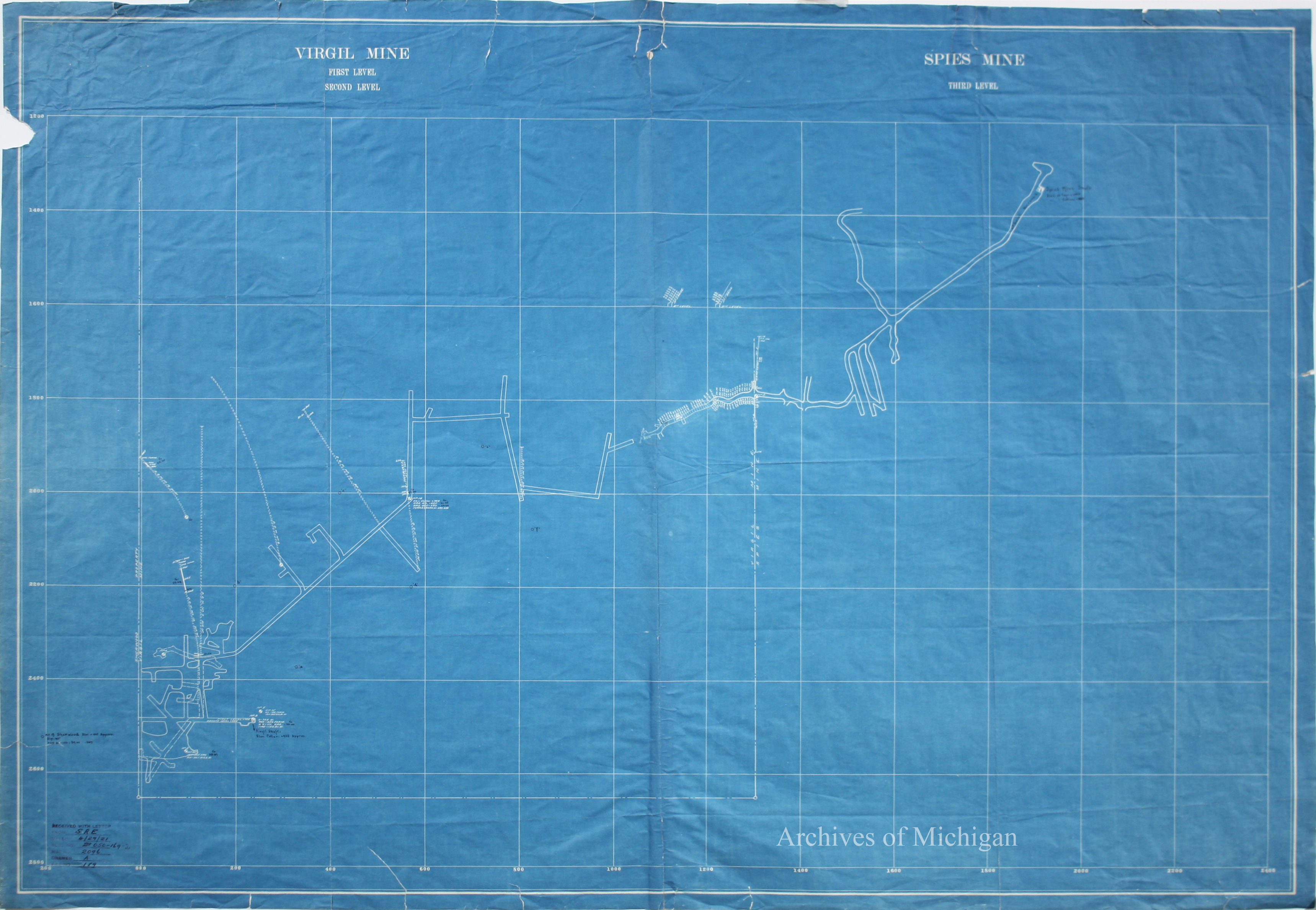
|
||||||||||||||||
|
Section 15 T.47., R27W., Ishpeming 1921 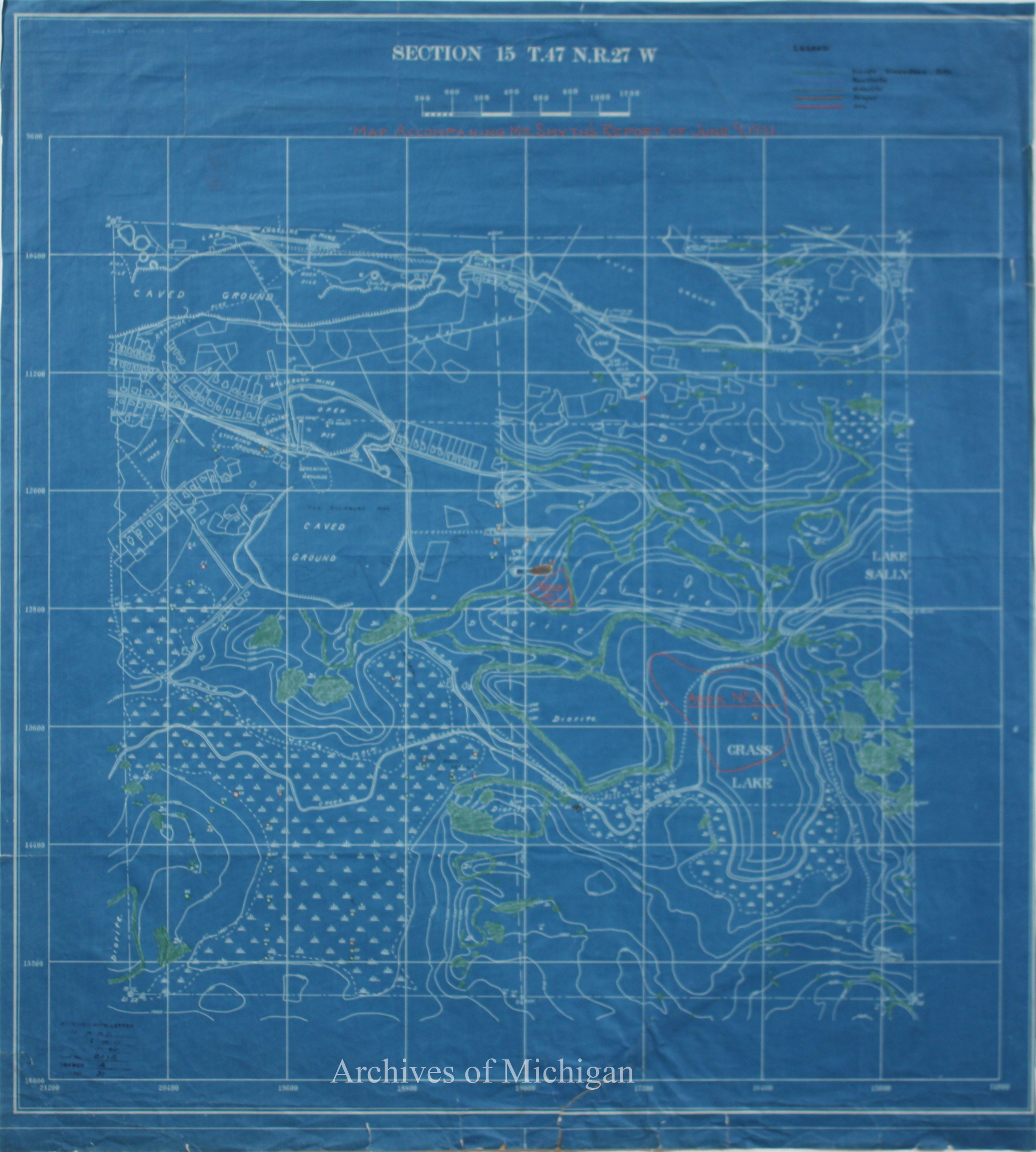
|
||||||||||||||||
|
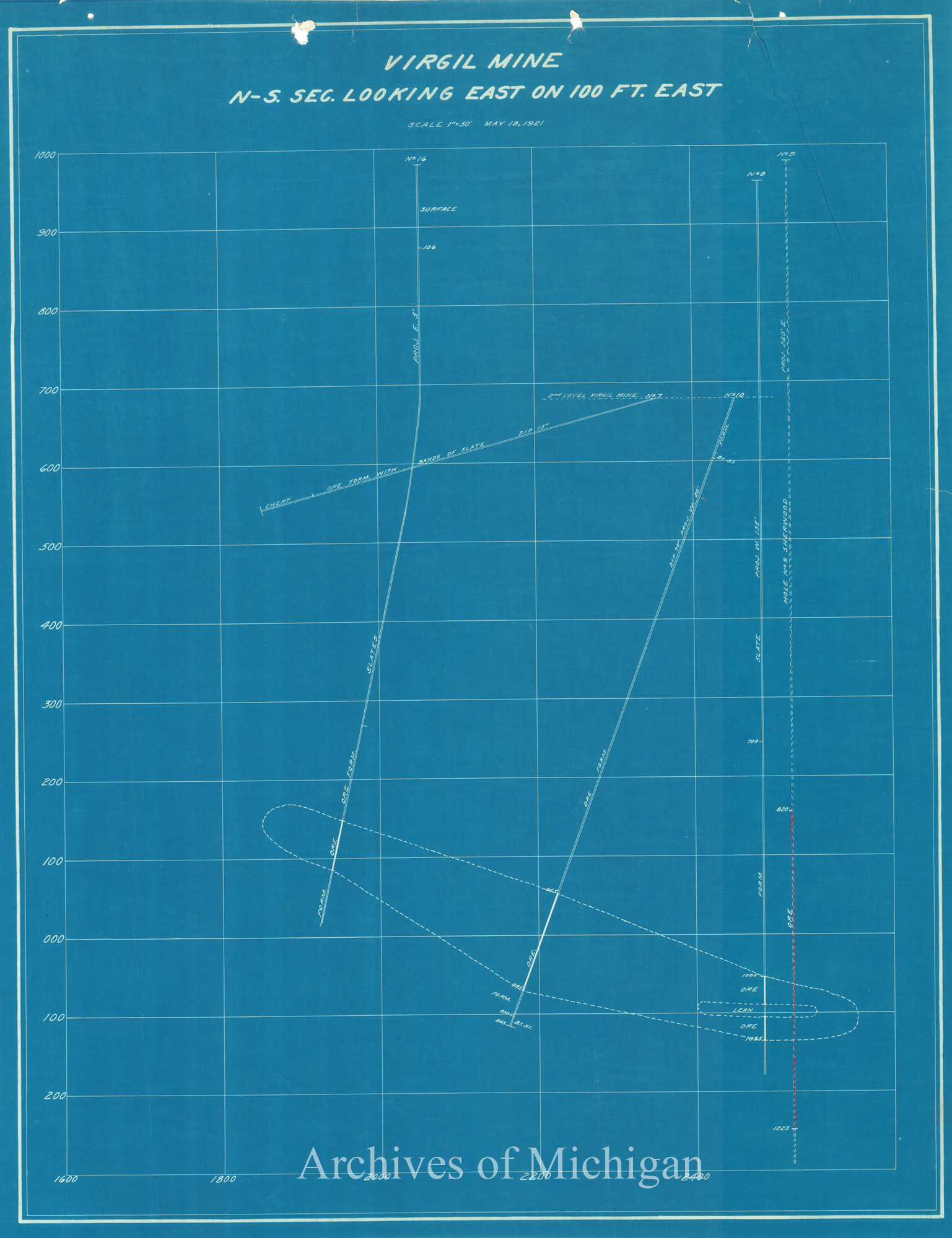
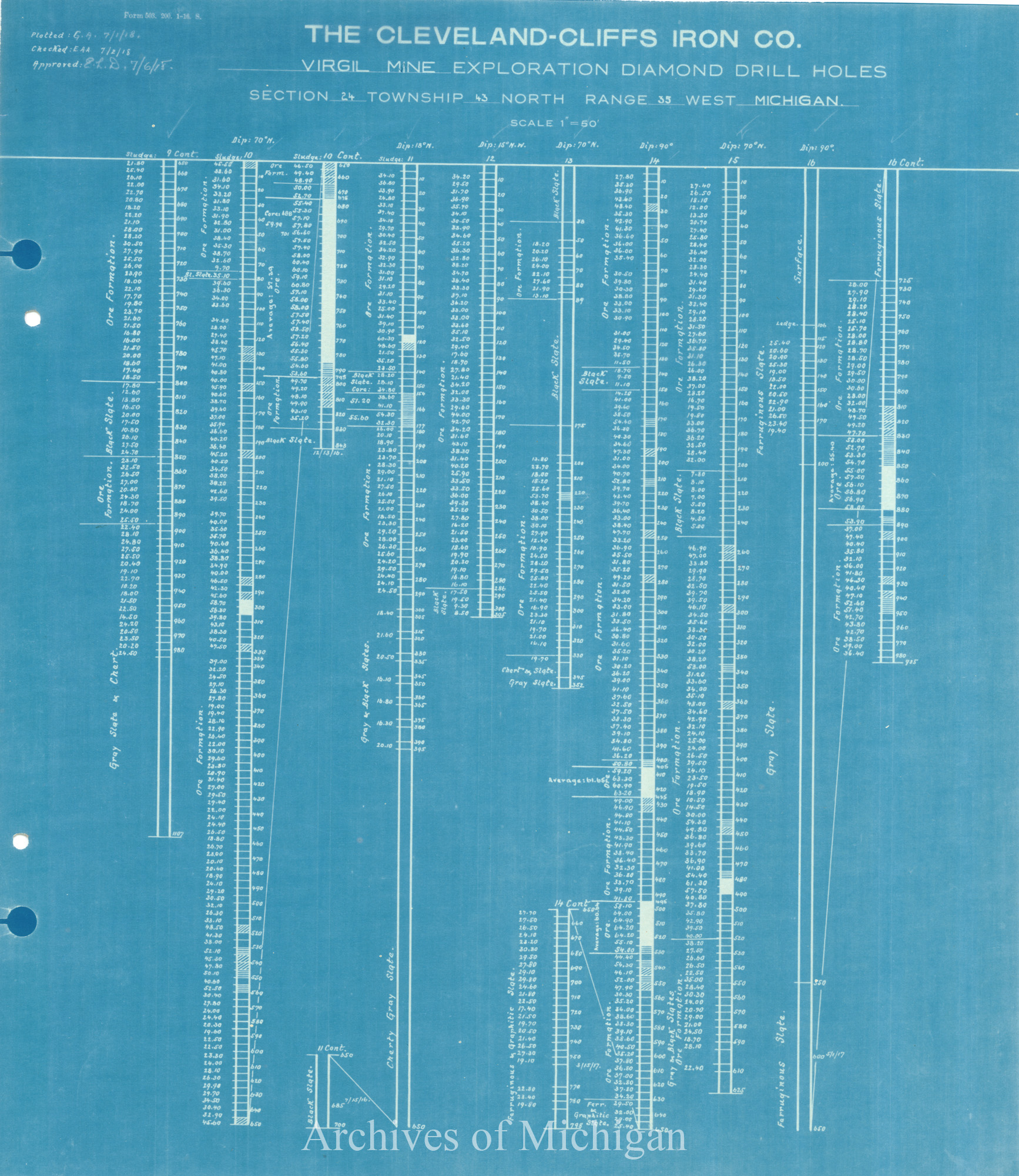
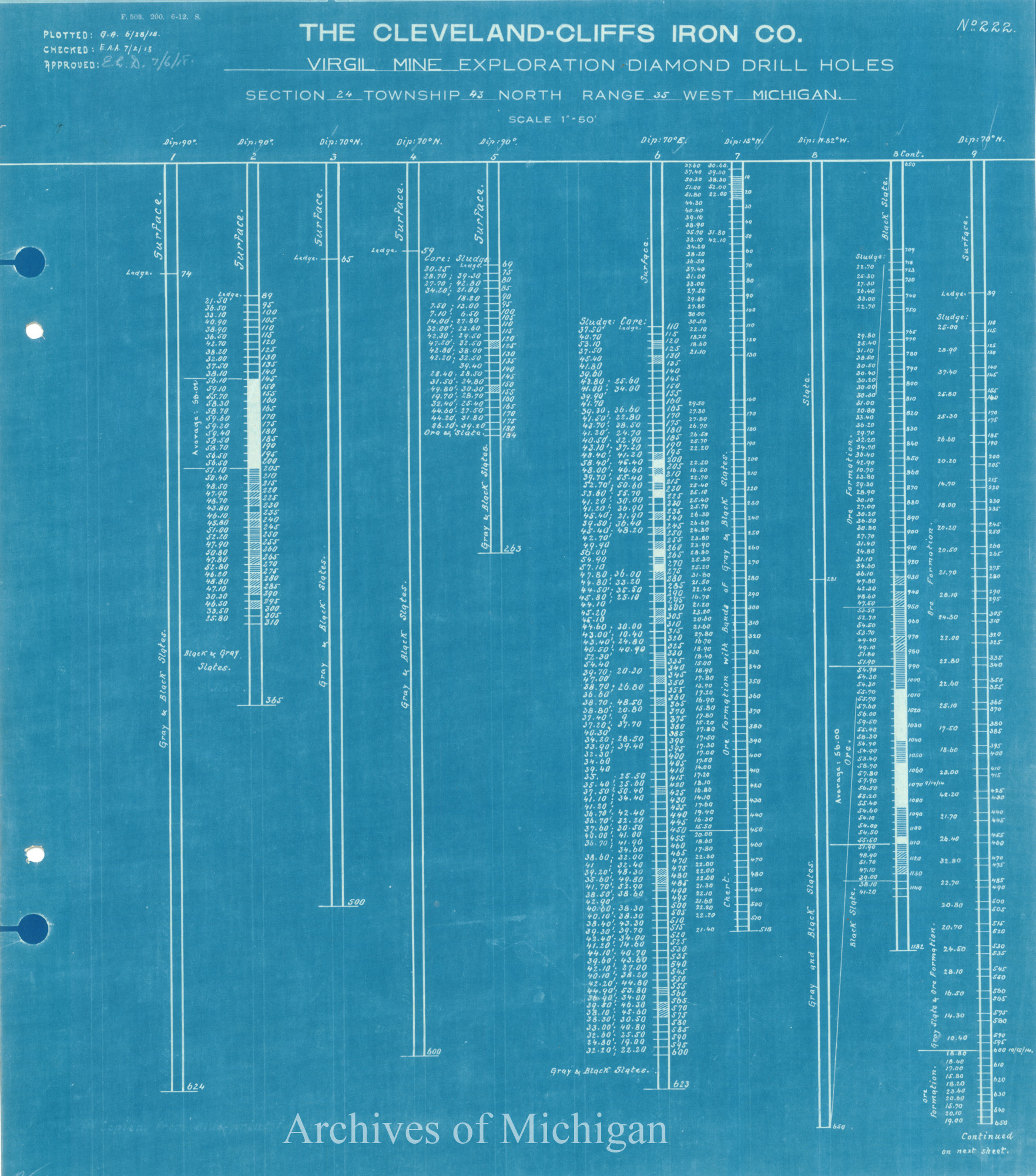
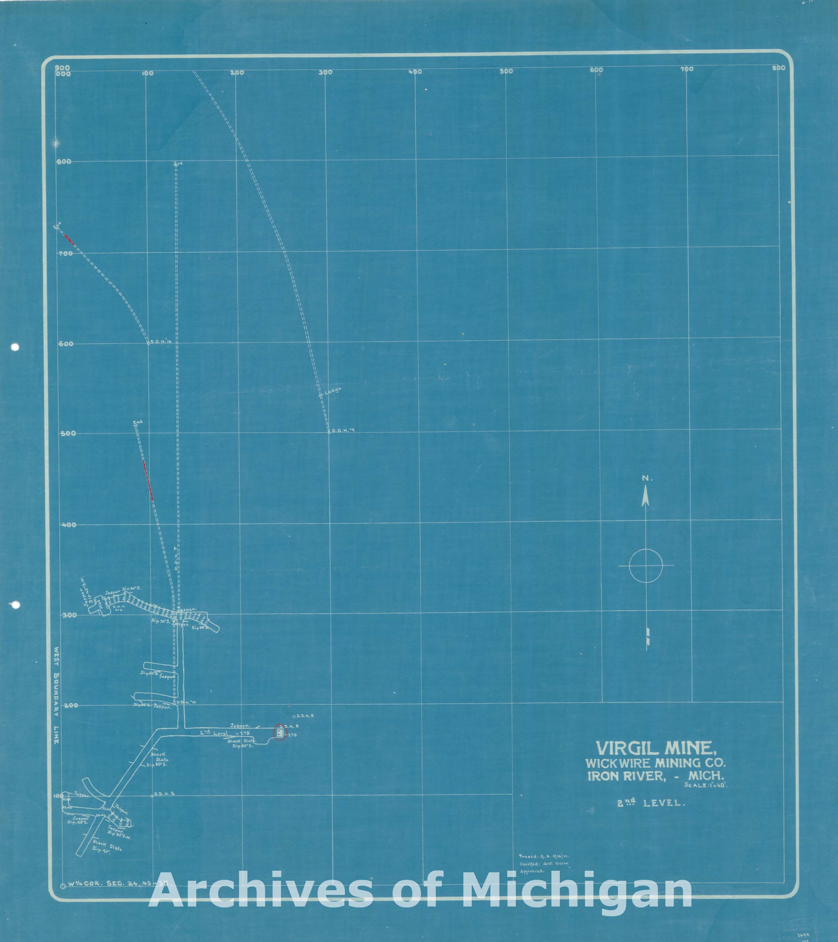
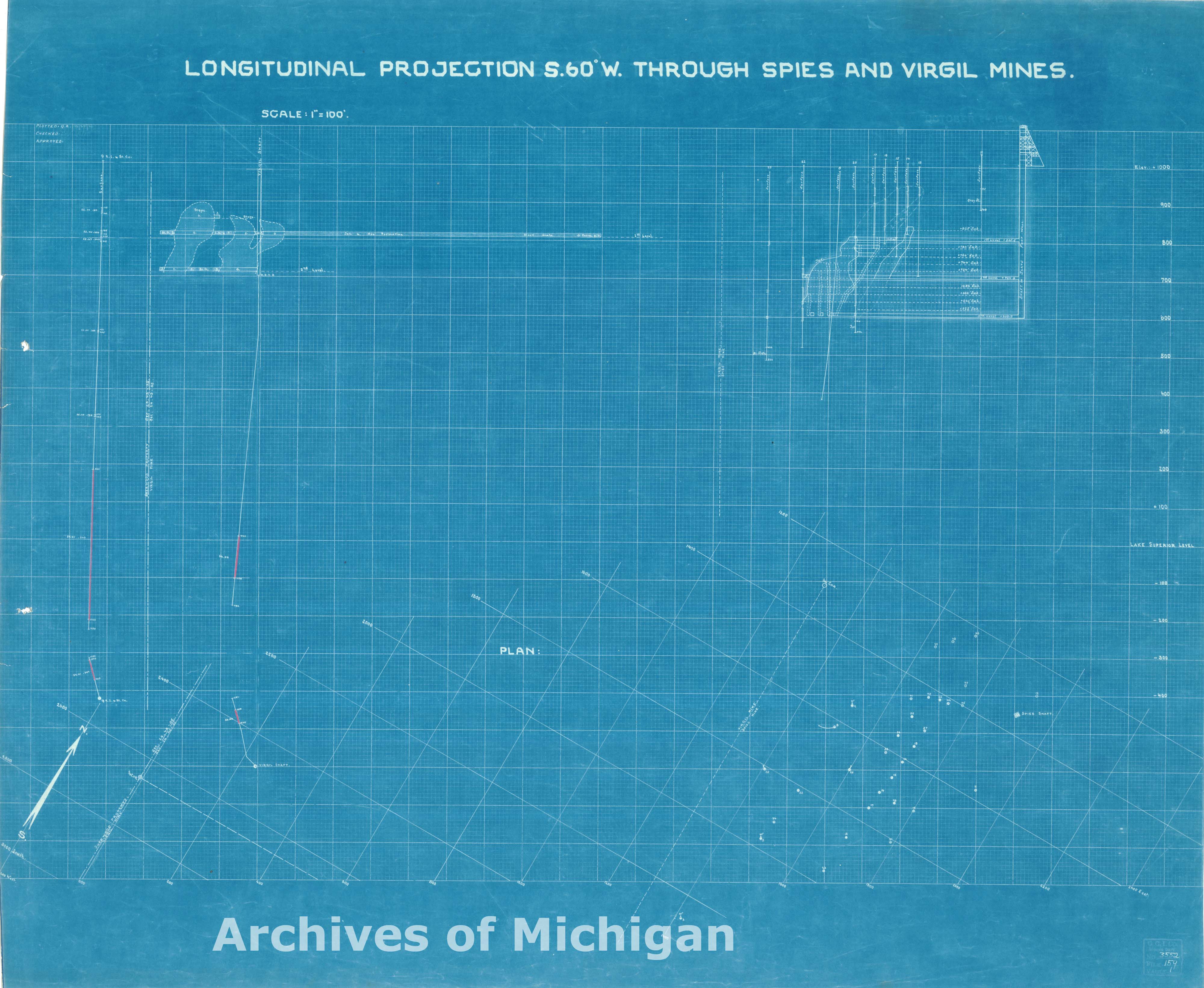
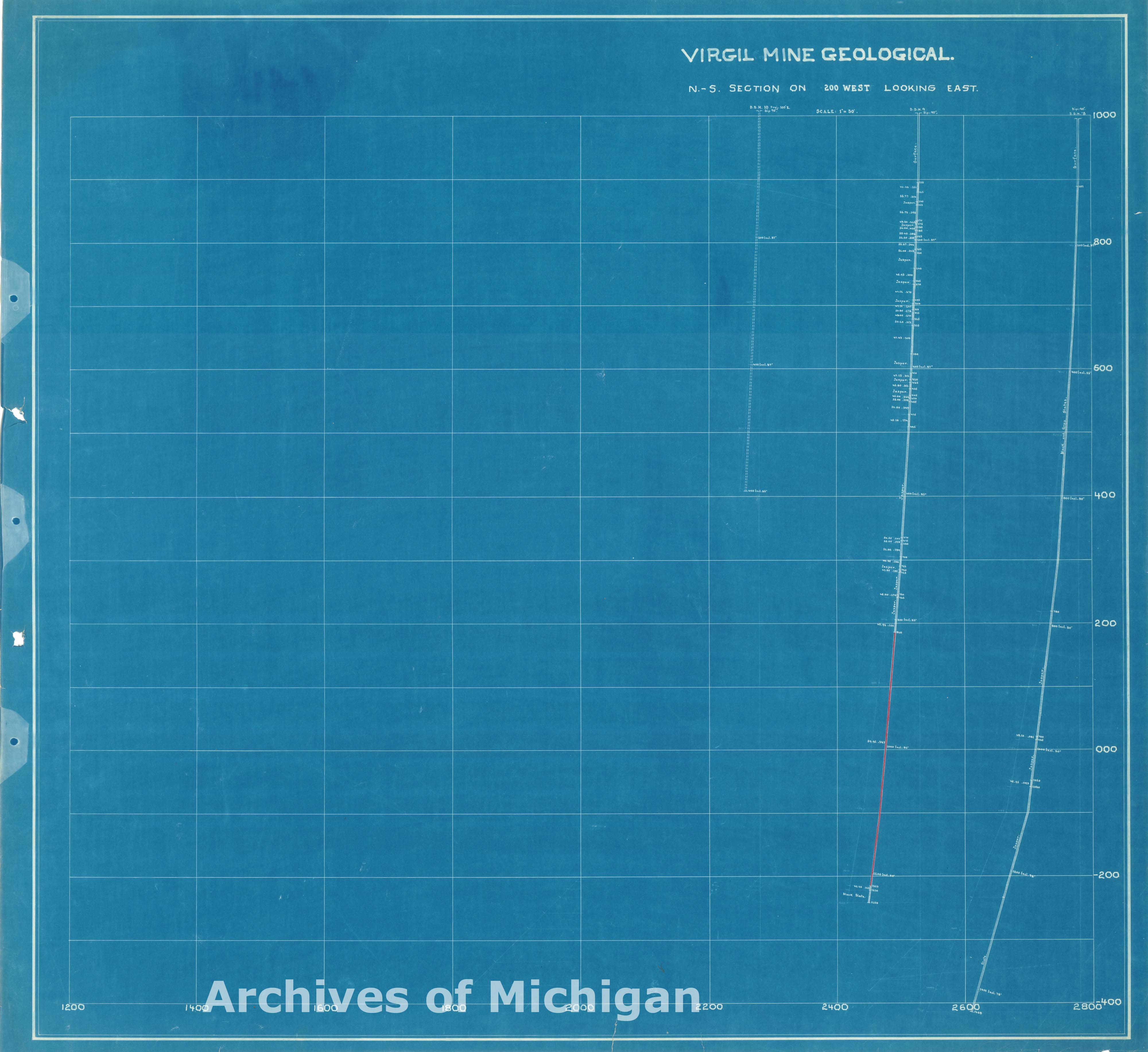
Map of Virgil Mine, Iron River (9 maps) 1921 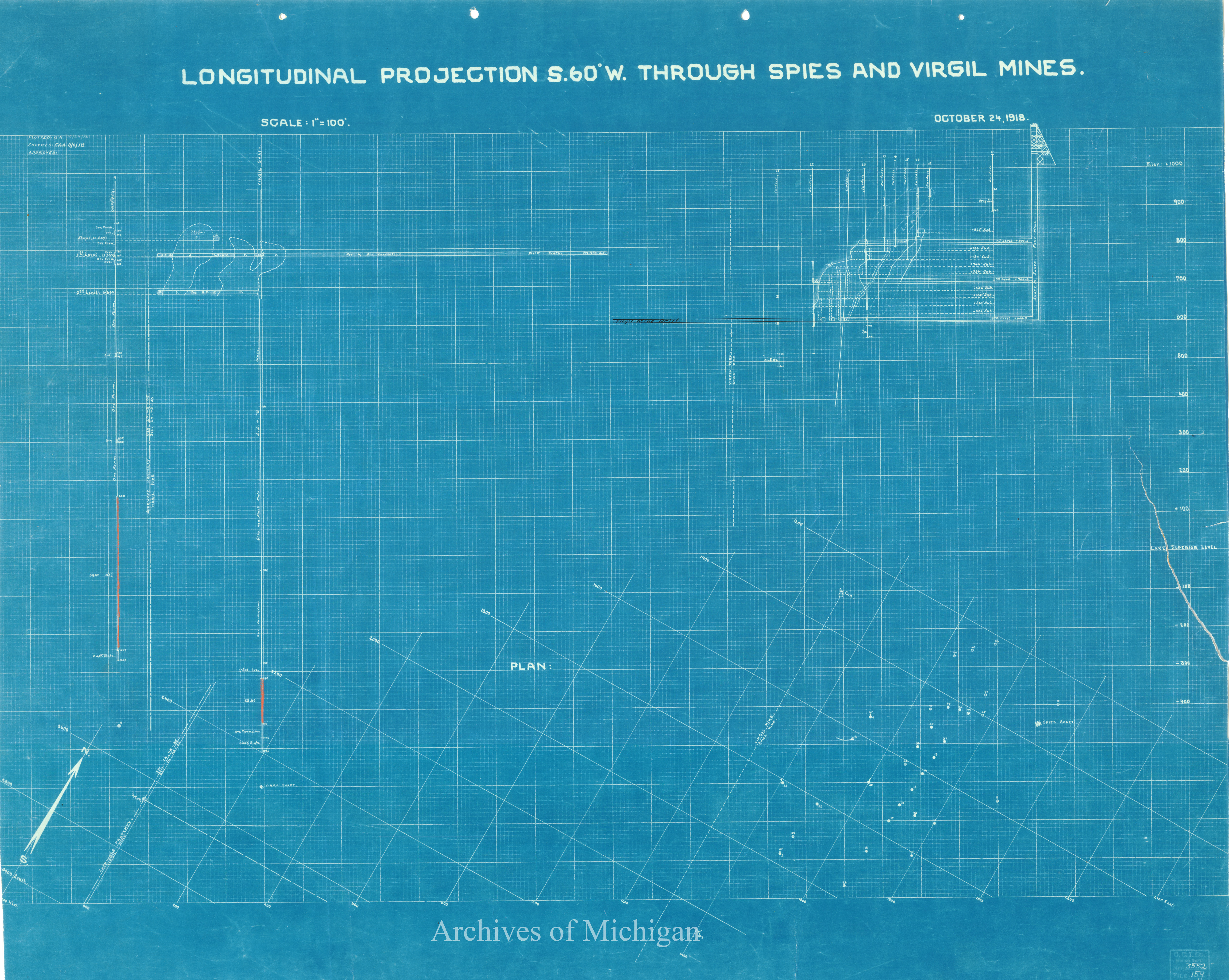
|
||||||||||||||||
|
Map of Virgil and Spies Mine, Iron River 1921 (2 maps) 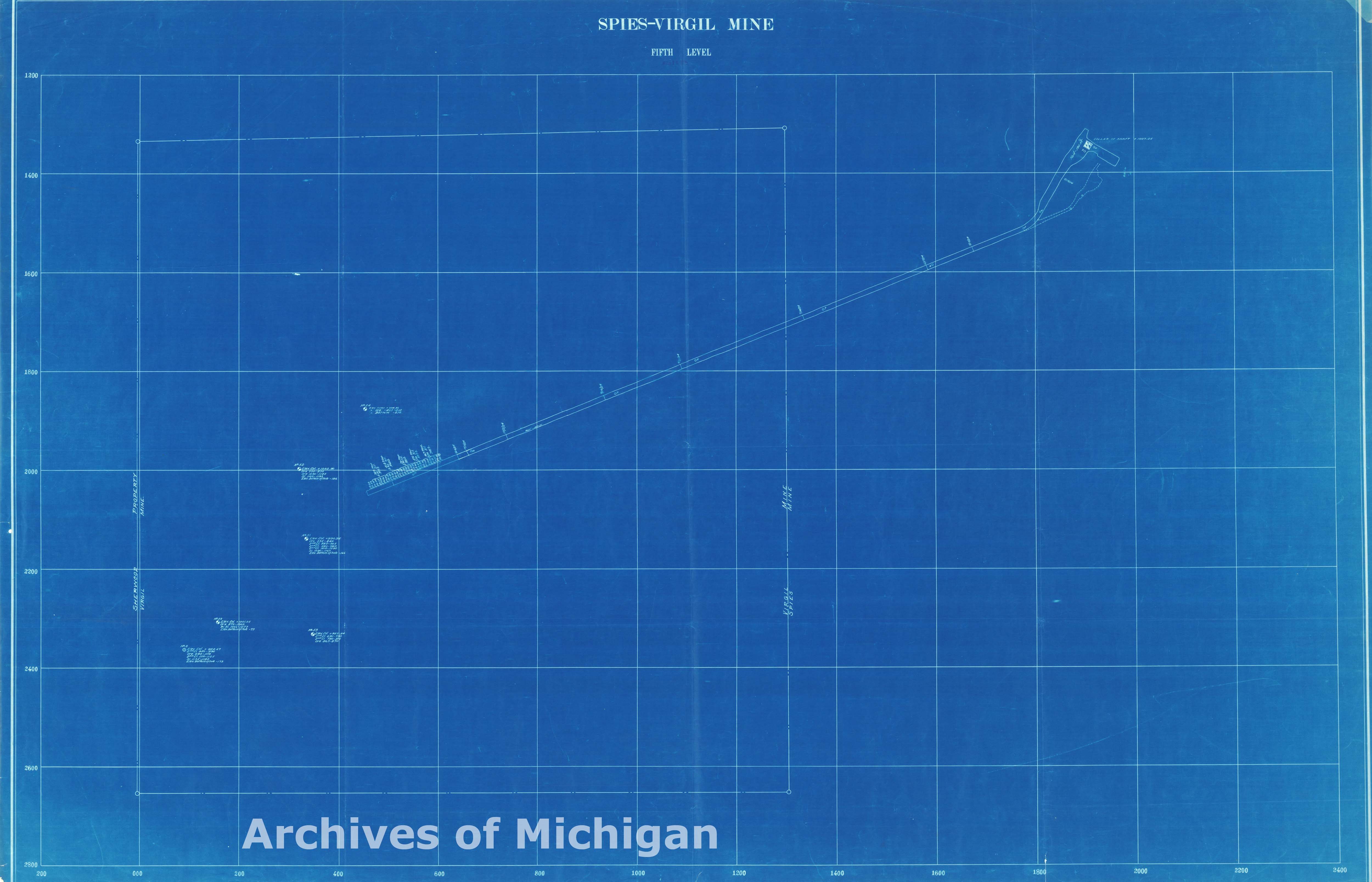
|
||||||||||||||||
|
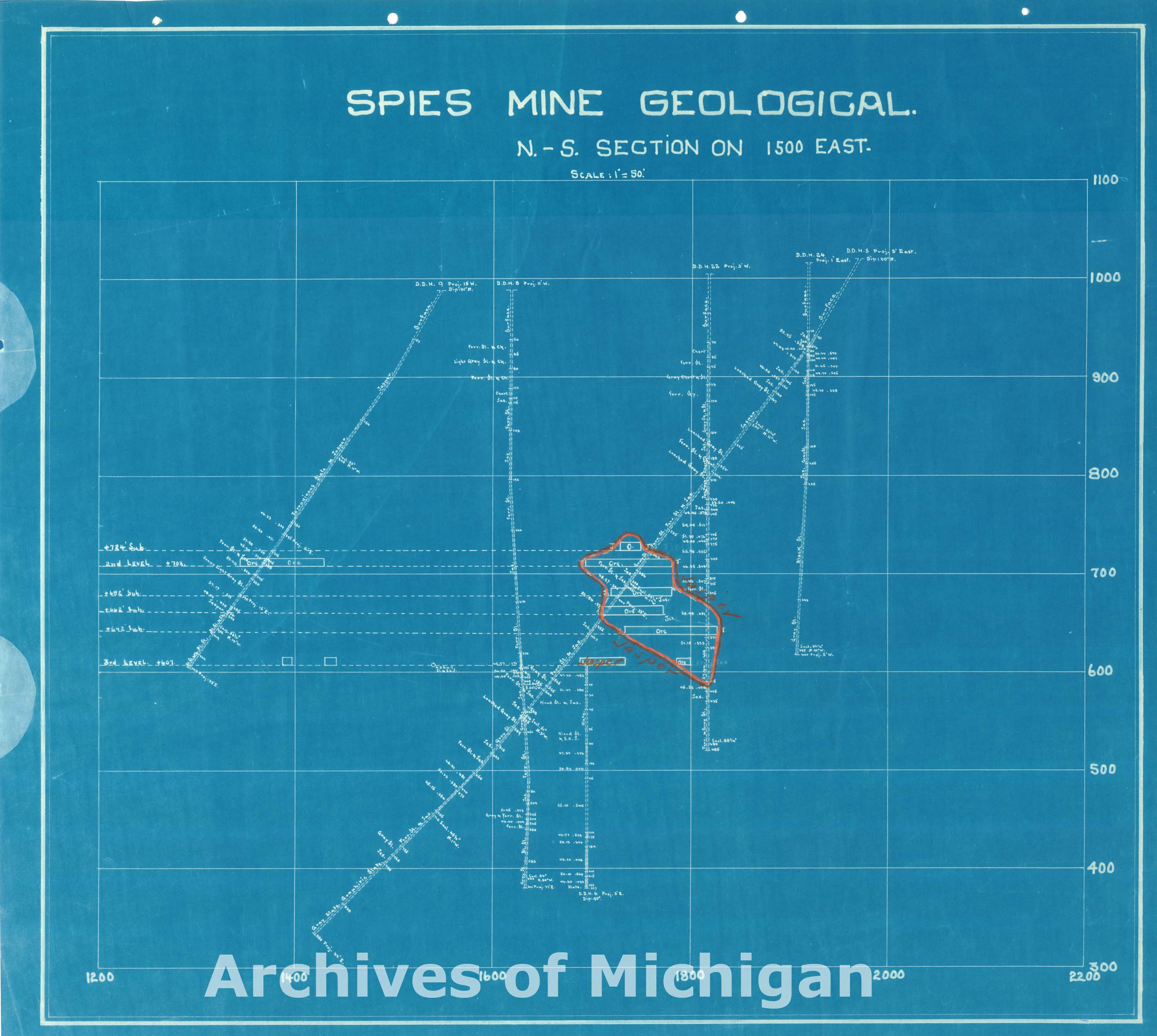
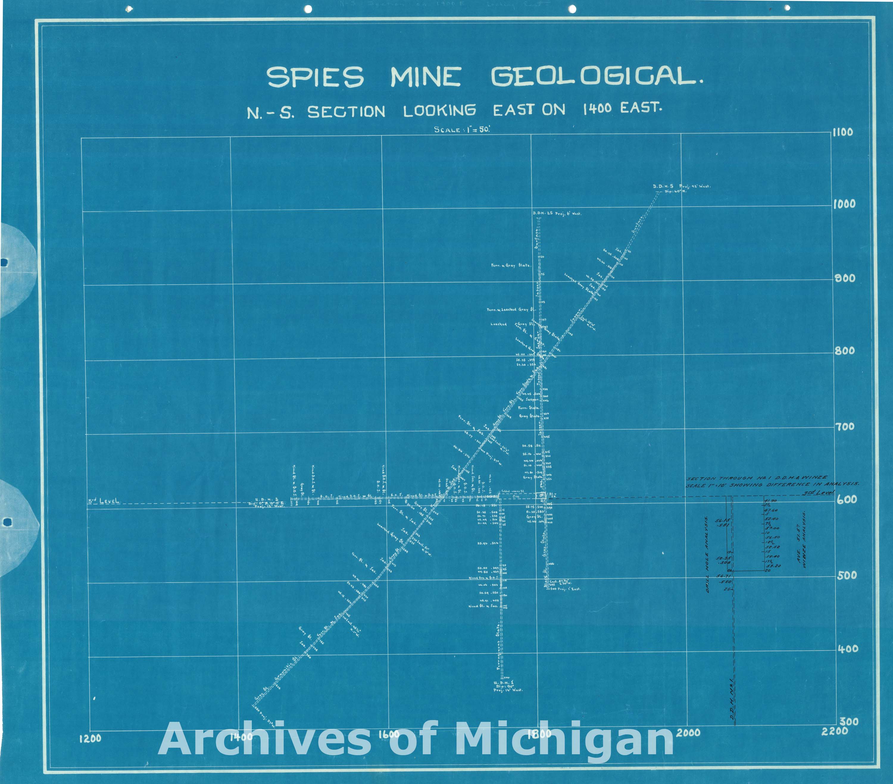
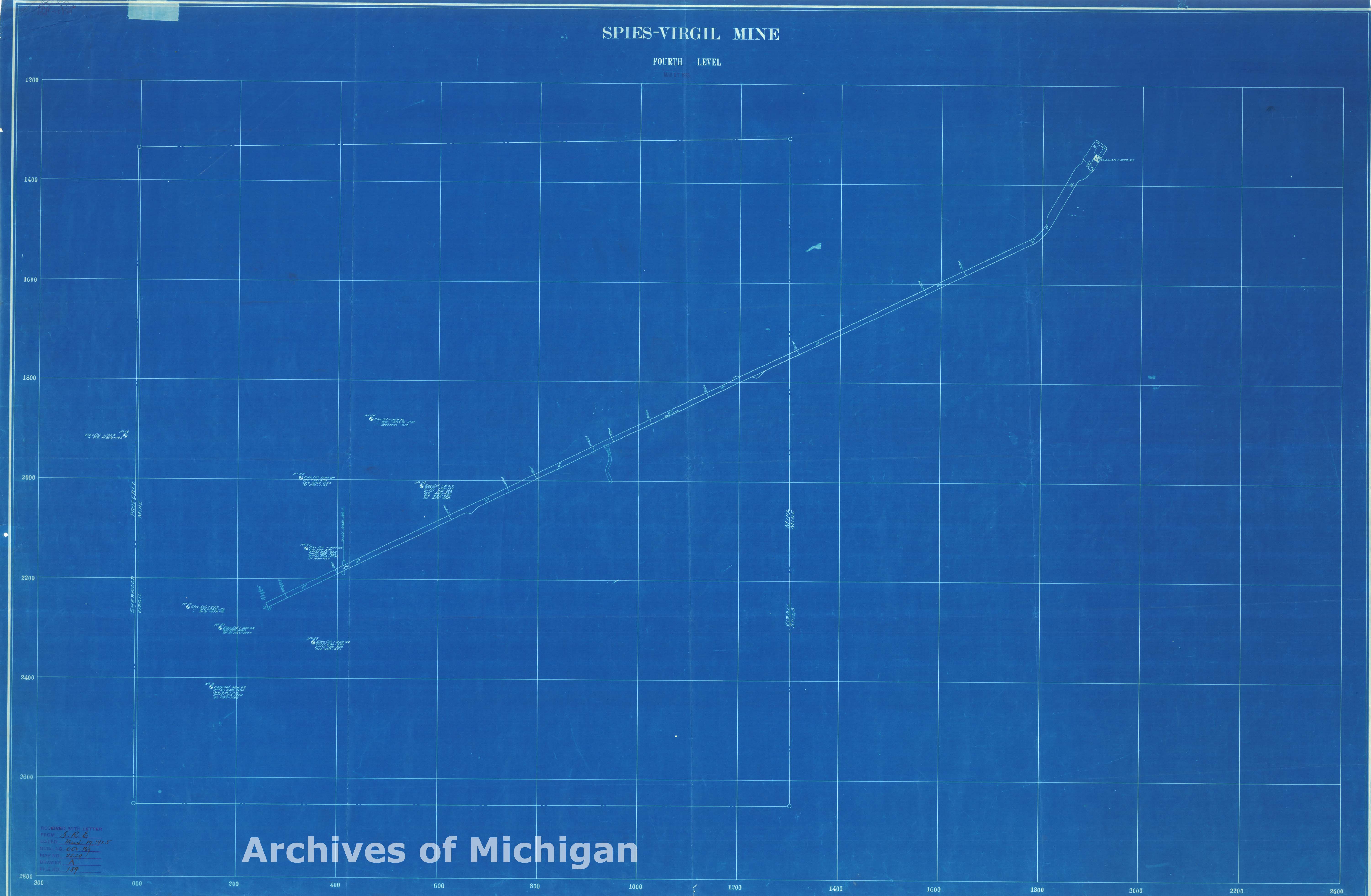
Map of Spies-Virgil Mine 4th and 5th Level (9 maps) 1925 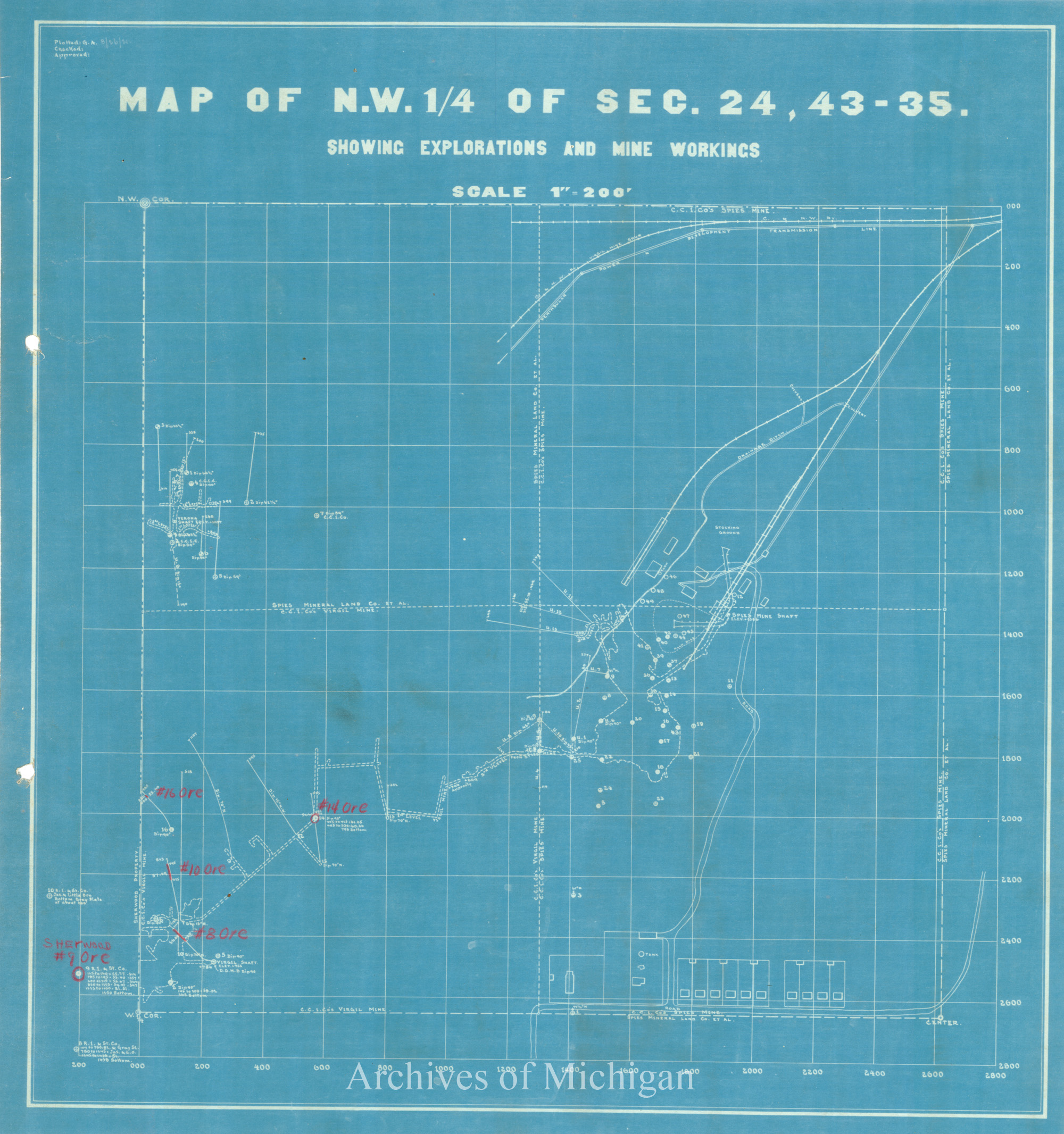

|
||||||||||||||||
|
Spies Mine Course of Discharged Mine Water, Iron River 1926 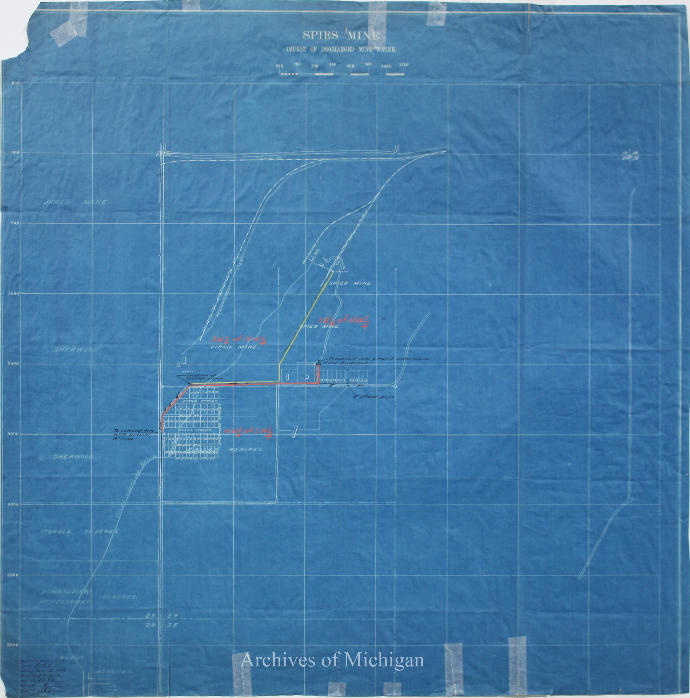
|
||||||||||||||||
|
Sub. Division of Smiths Bay Section 7-46-29 1926 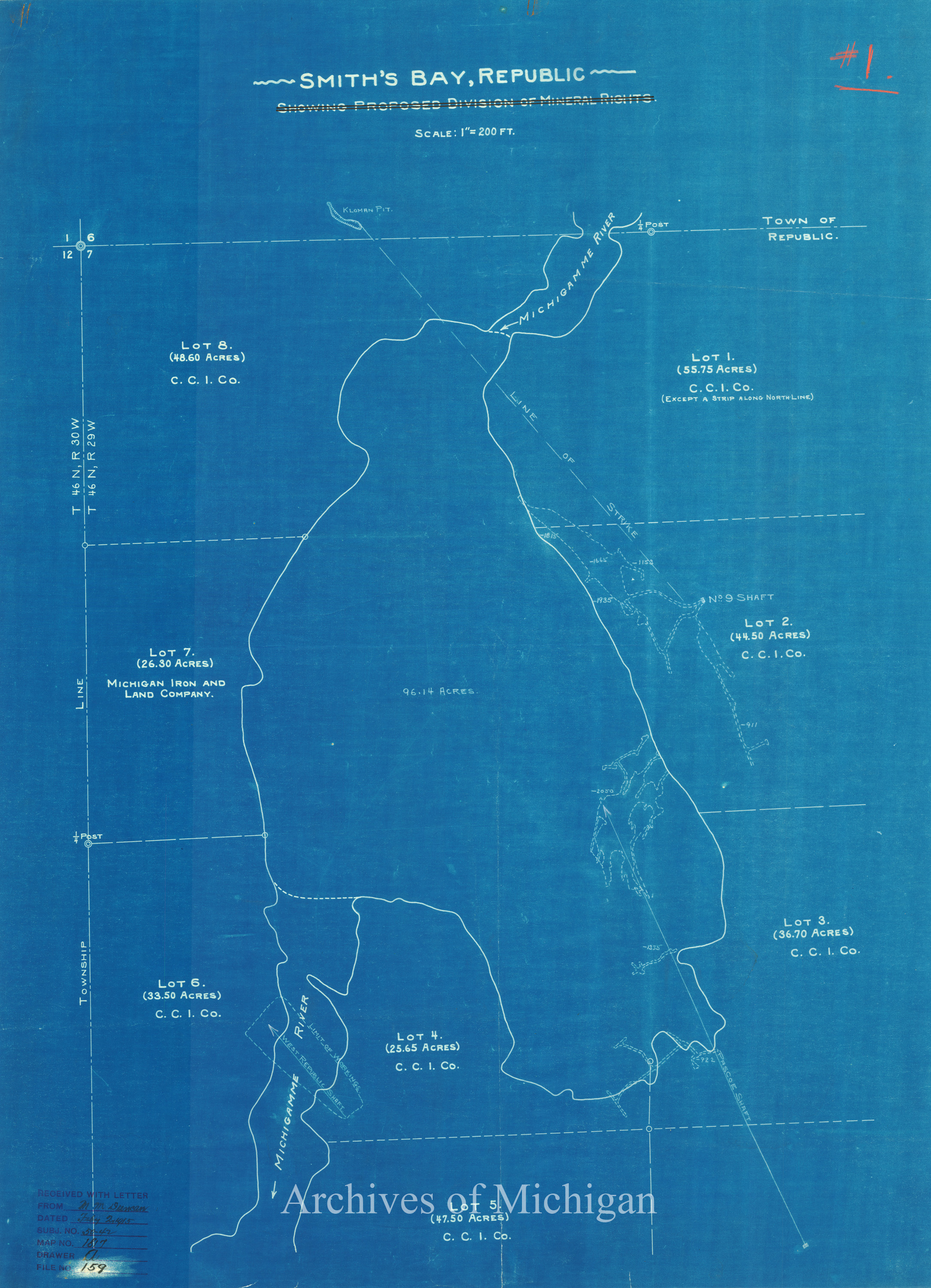
|
||||||||||||||||
|
Subdivision of Smith's Bay of the Michigamme River Section 7-46-29 1907 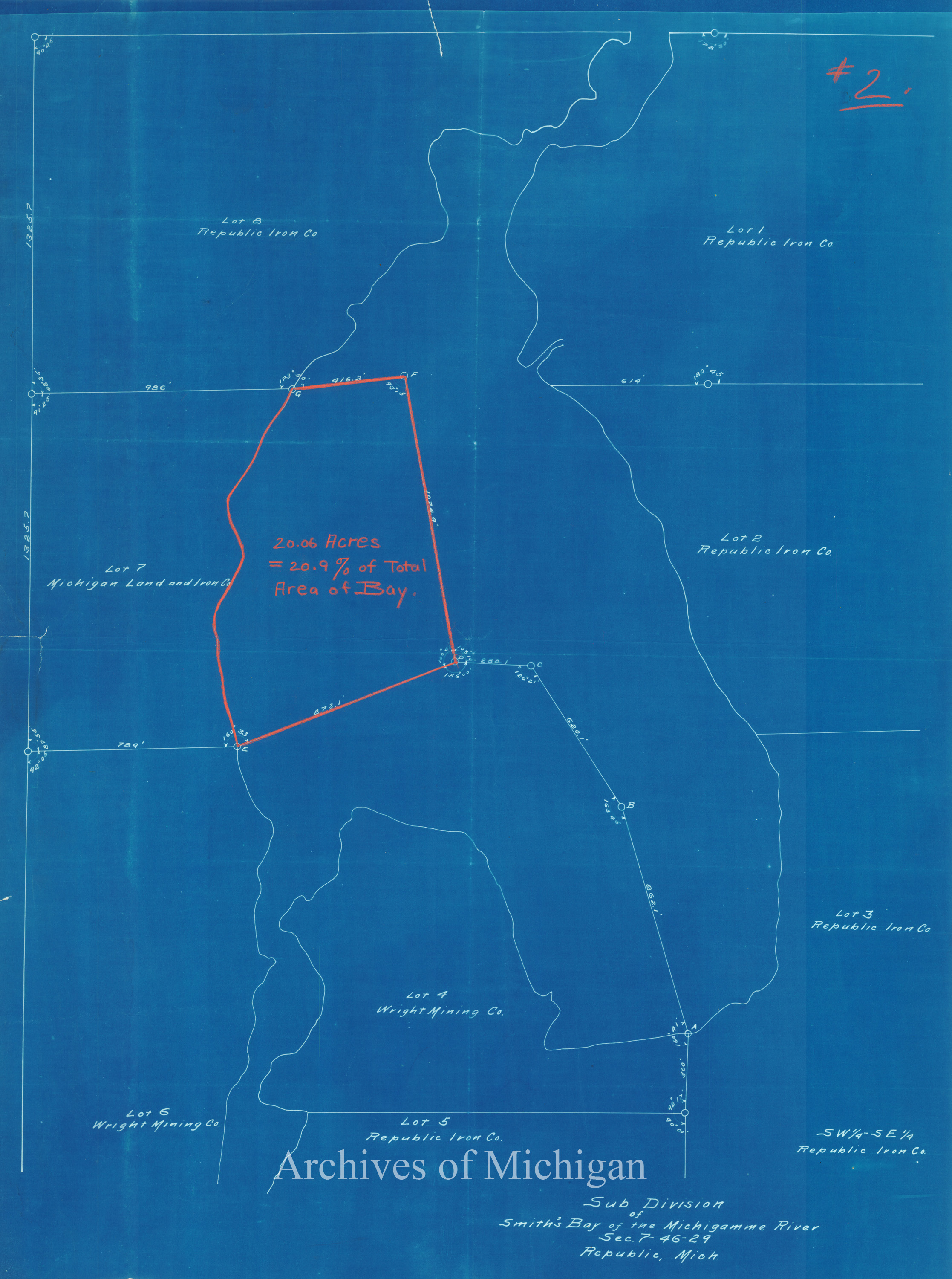
|
||||||||||||||||
|
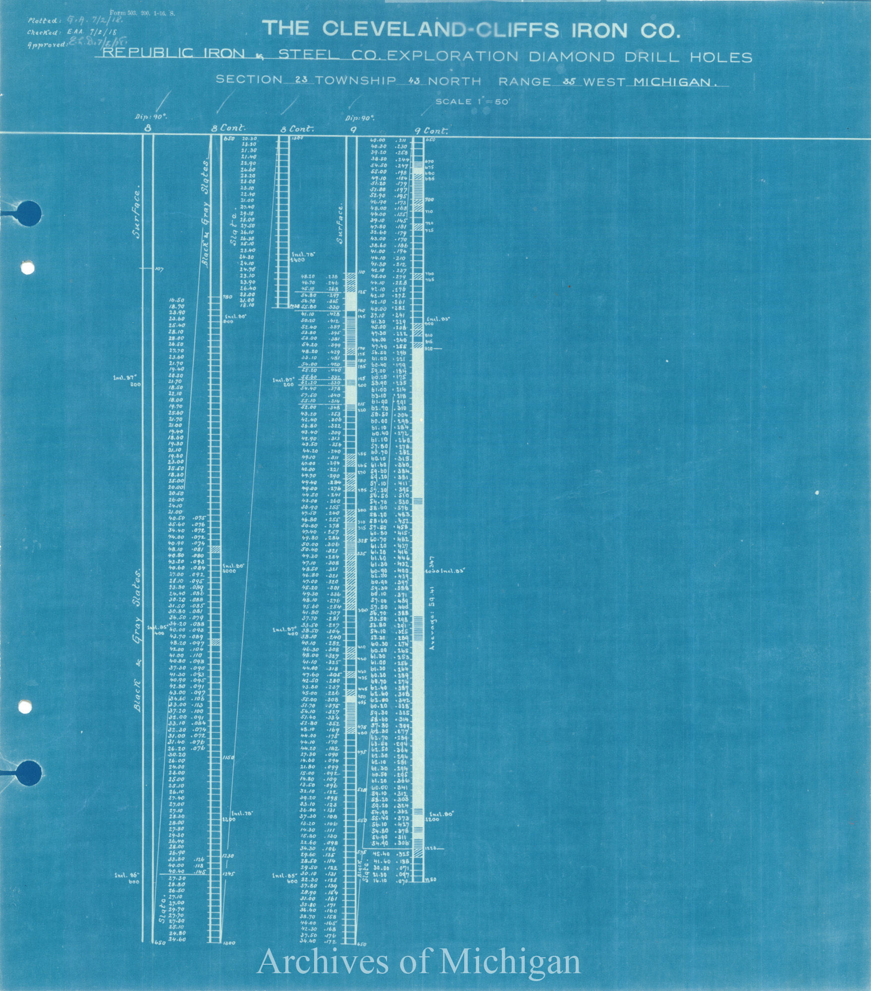
Republic Mine, 1914 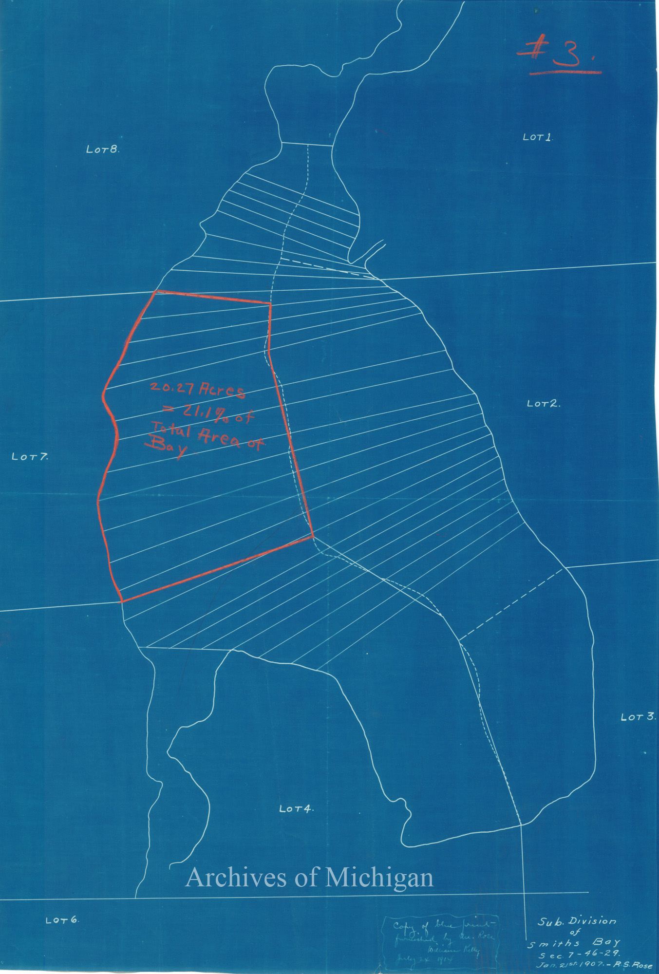
|
||||||||||||||||
|
Smith's Bay, Republic Showing Proposed Division of Mineral Rights, Ely Township 1915 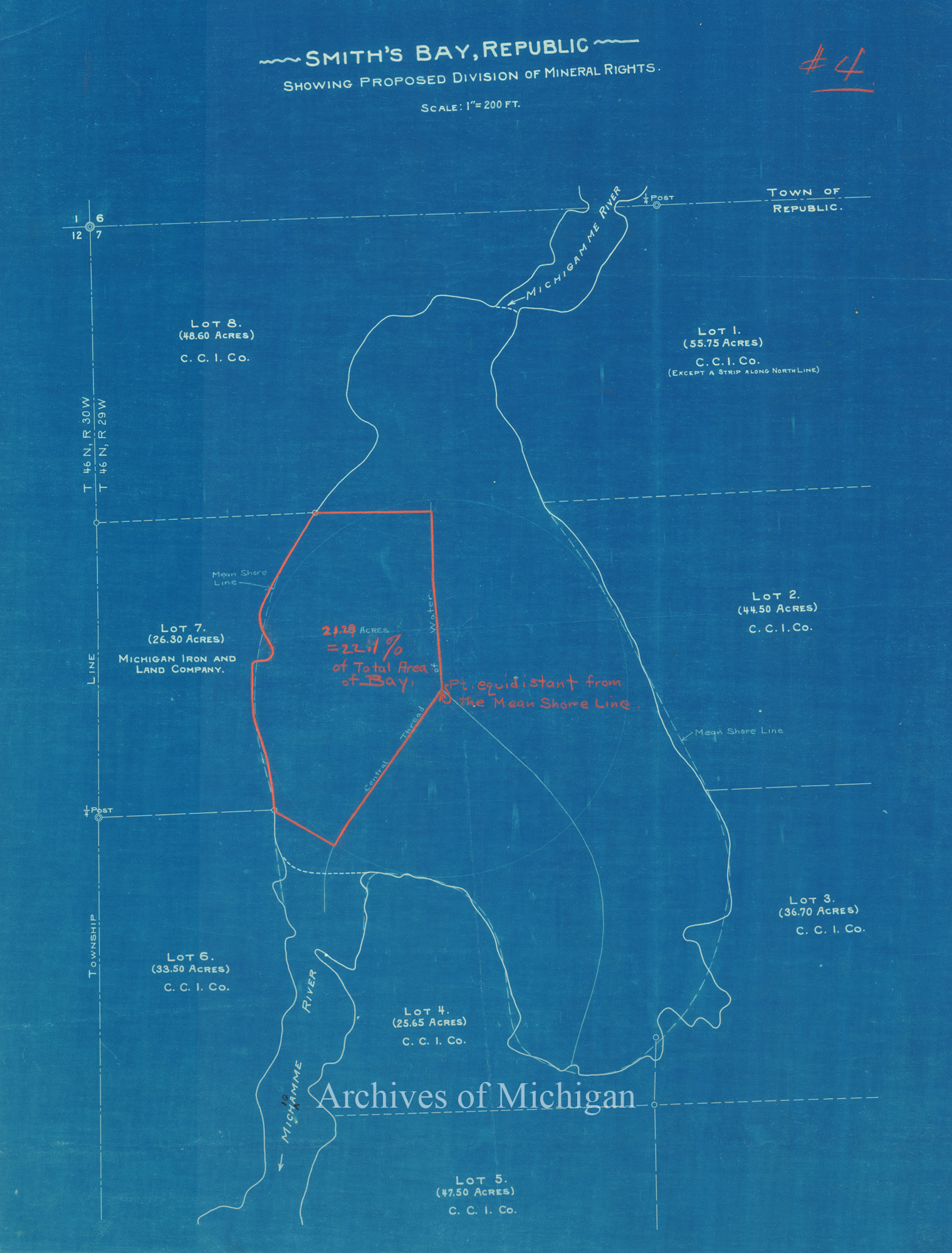
|
||||||||||||||||
|
Smith's Bay, Ely Township 1915 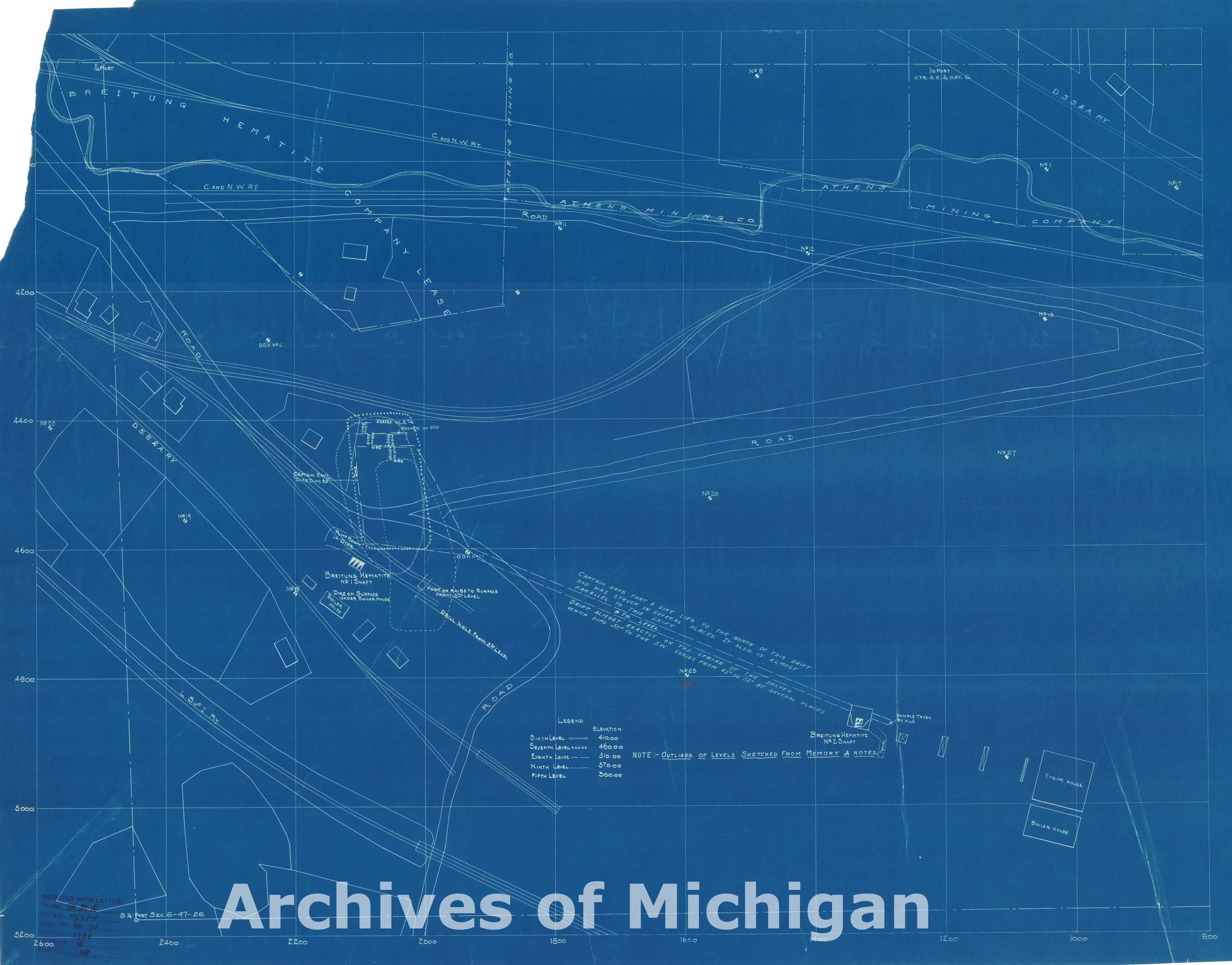
|
||||||||||||||||
|
Republic District Section 15 T, 47N., R27W., Ishpeming 1921 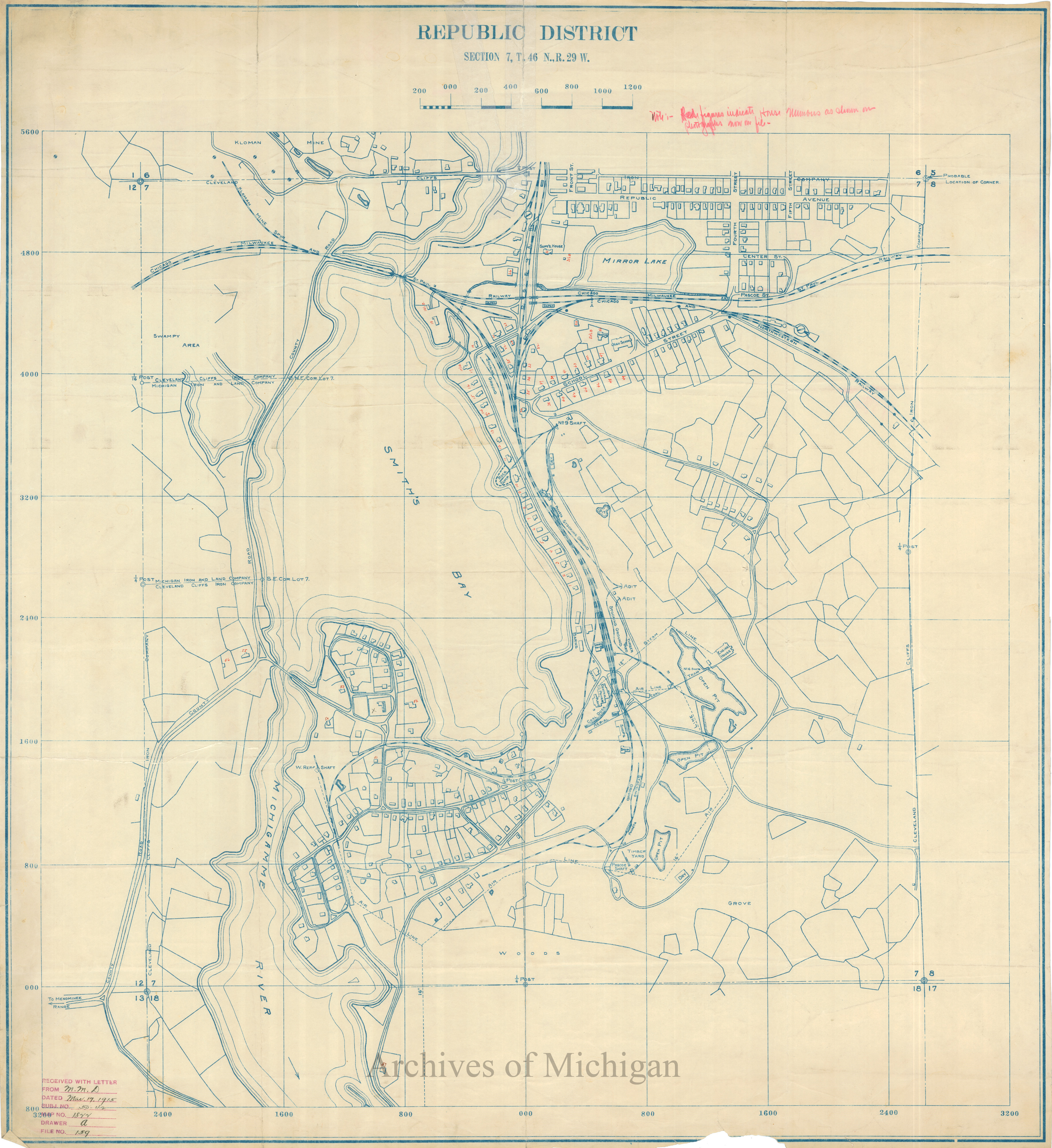
|
||||||||||||||||
|
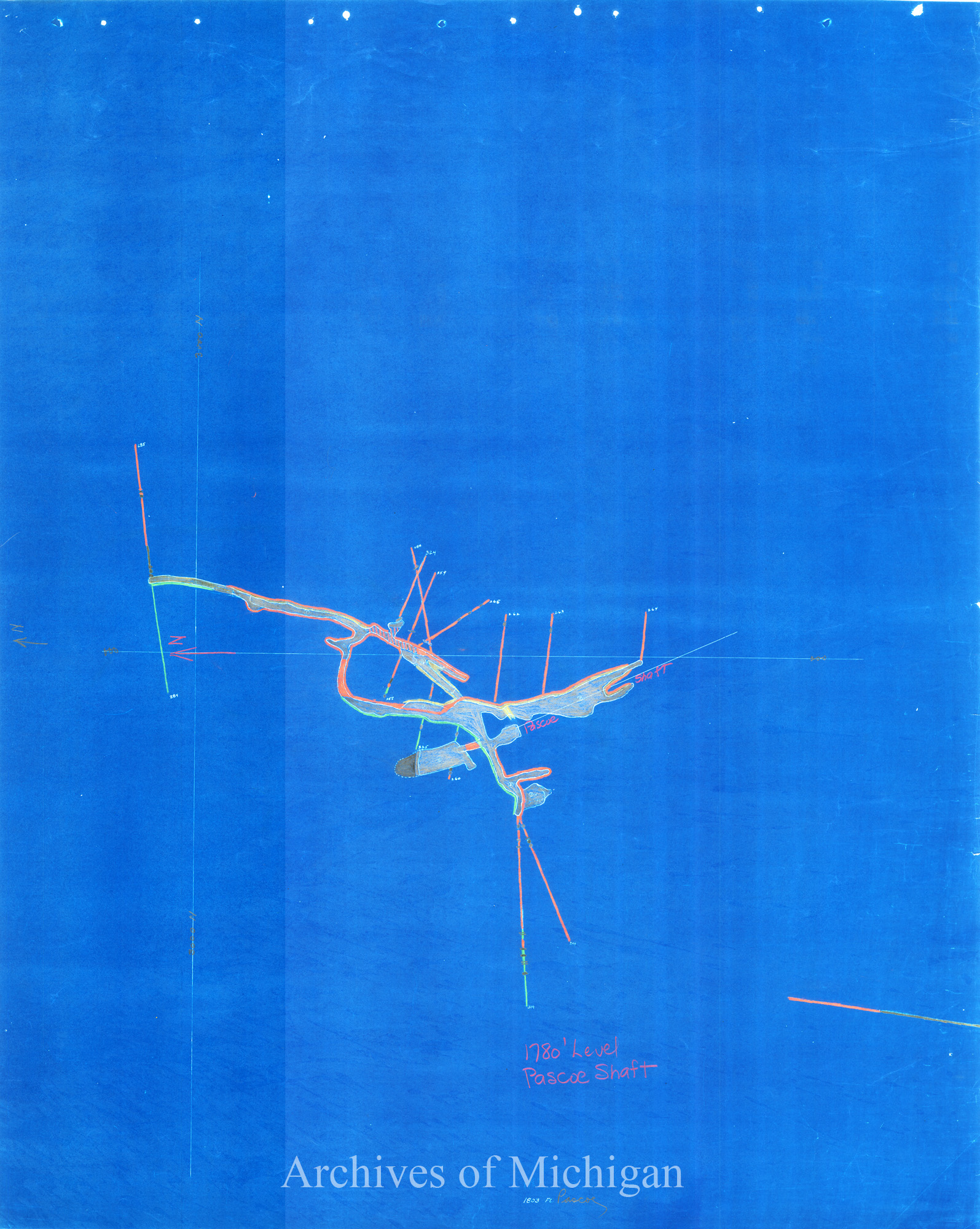
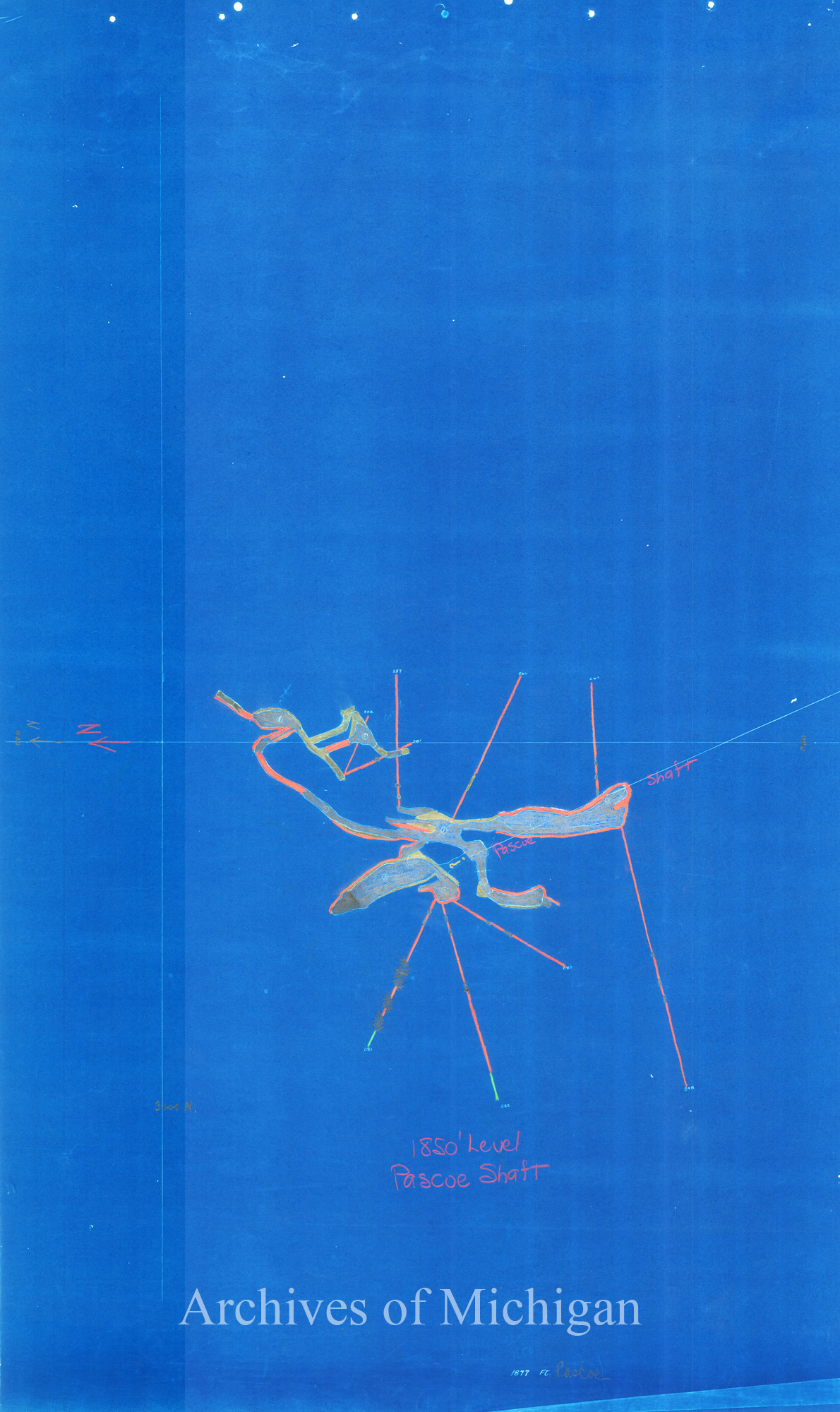
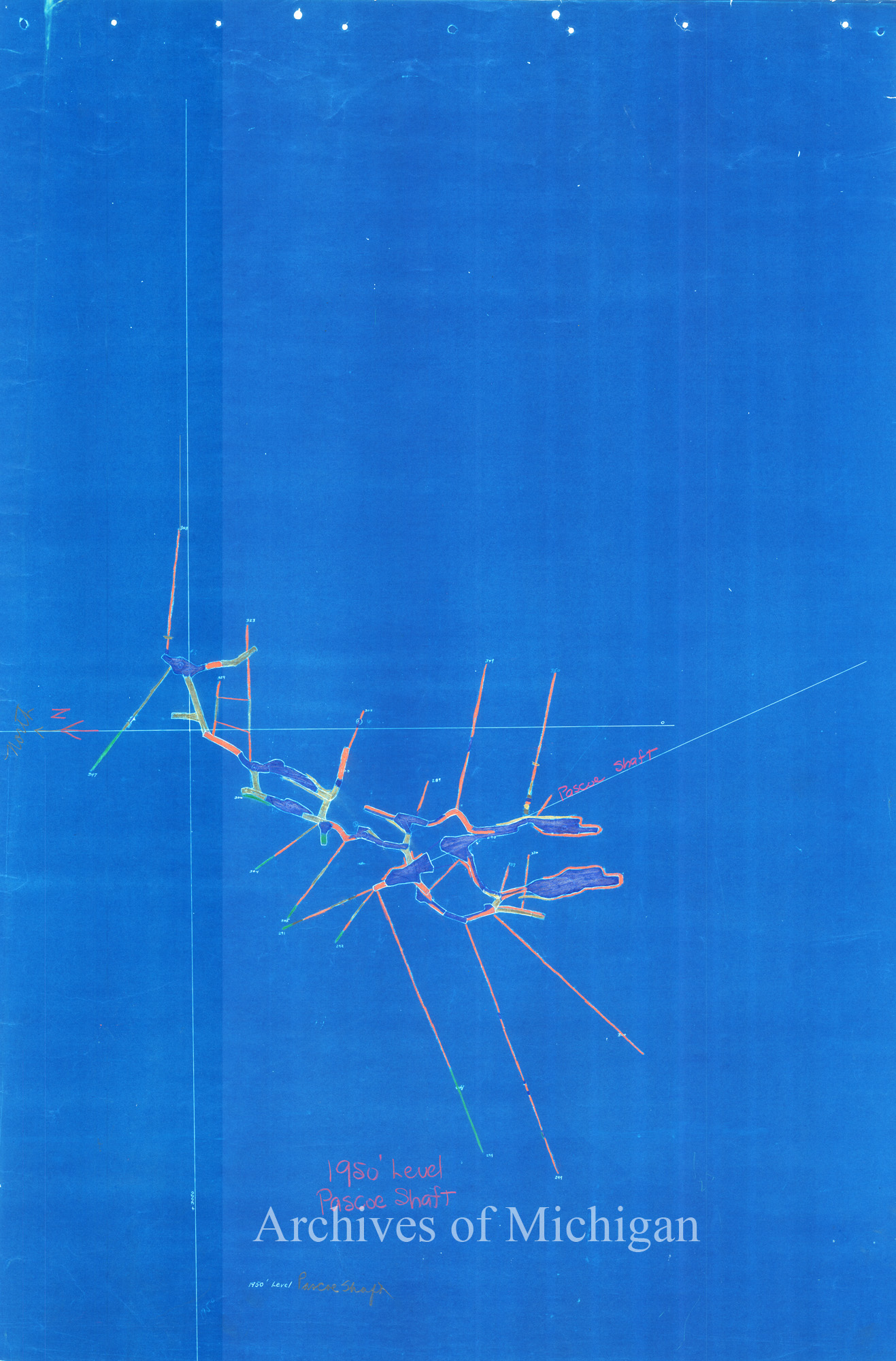
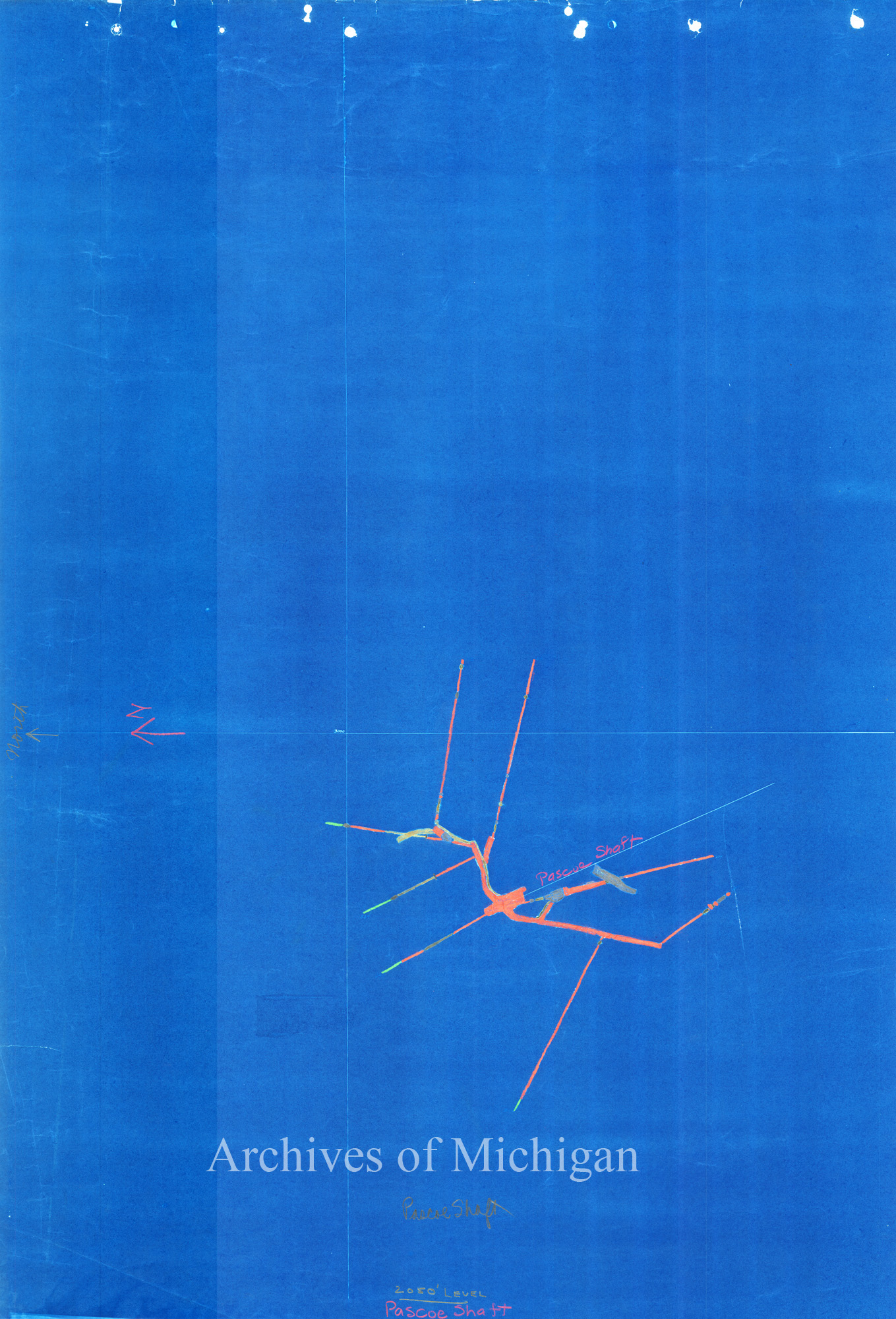
Republic Mine Geological Pascoe Shaft Section, Ely Township (2 maps) 1928 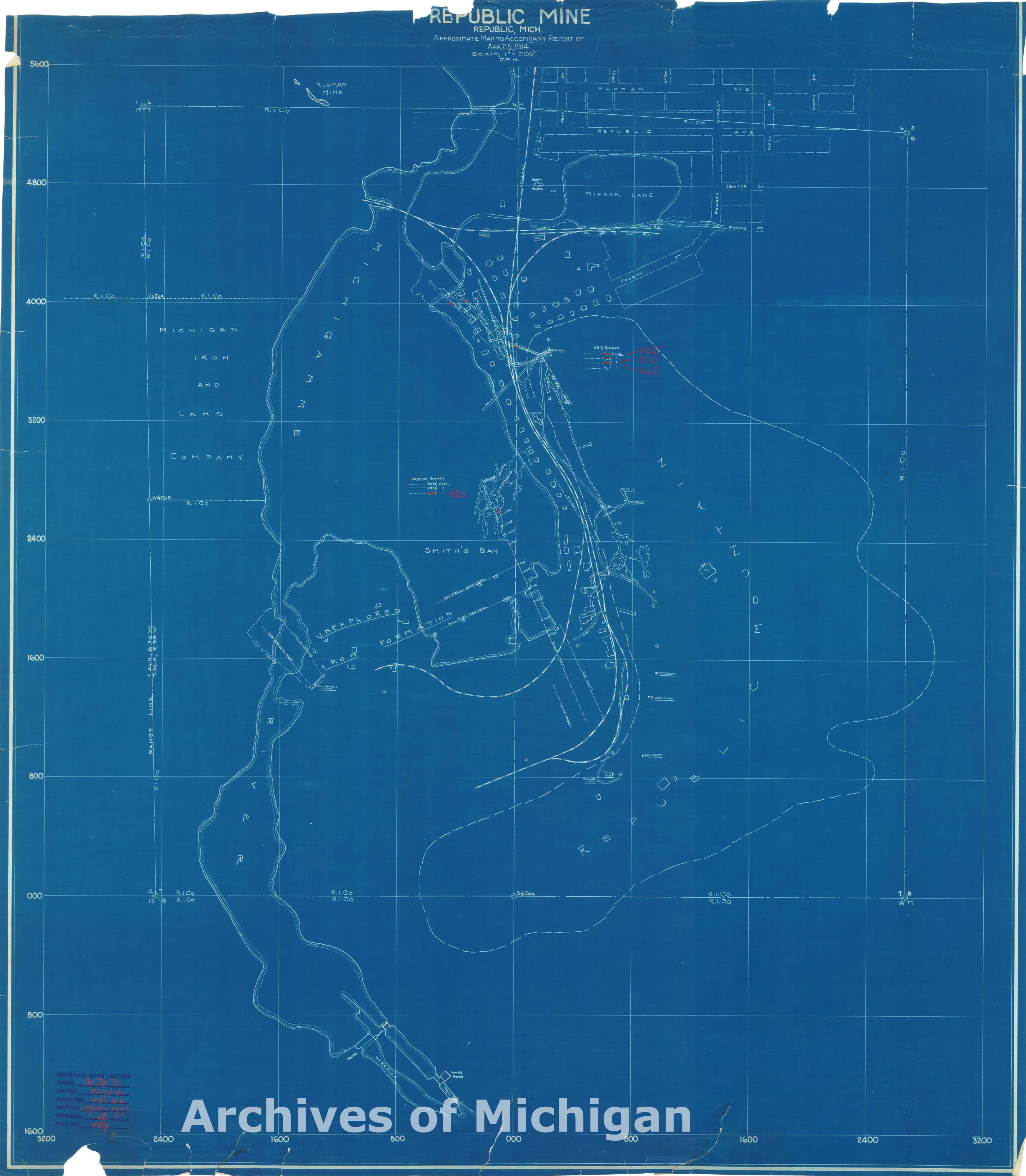

|
||||||||||||||||
|
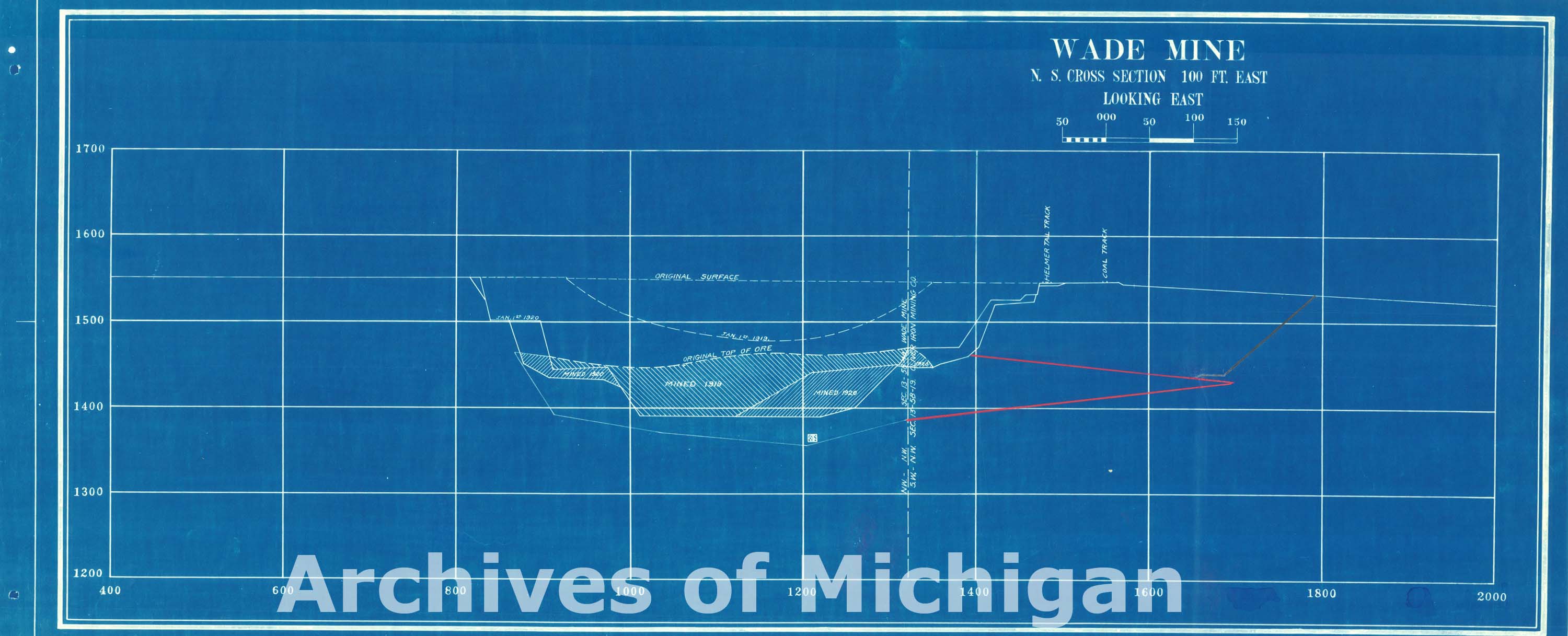
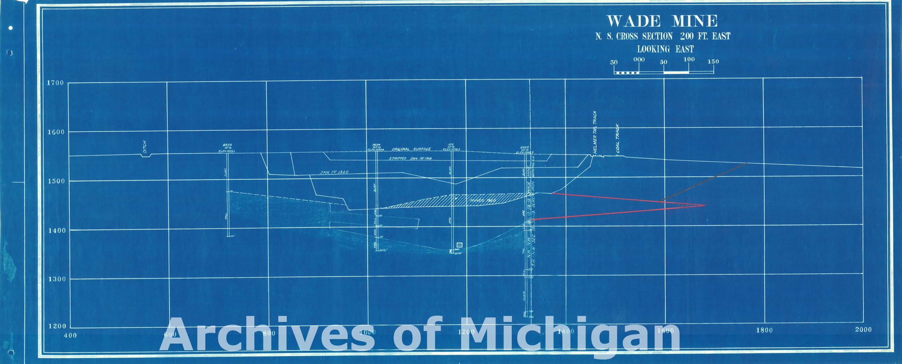
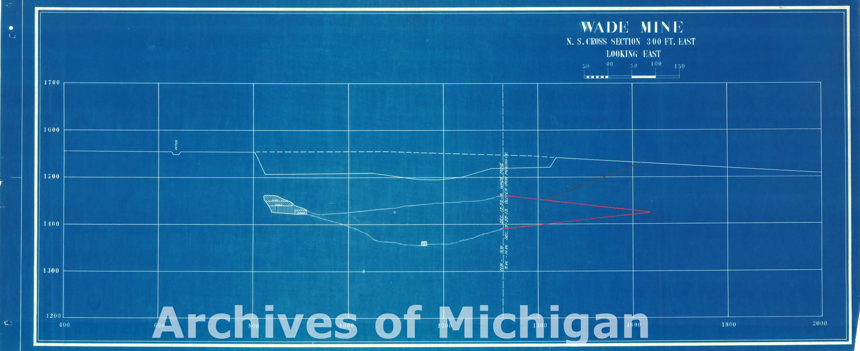
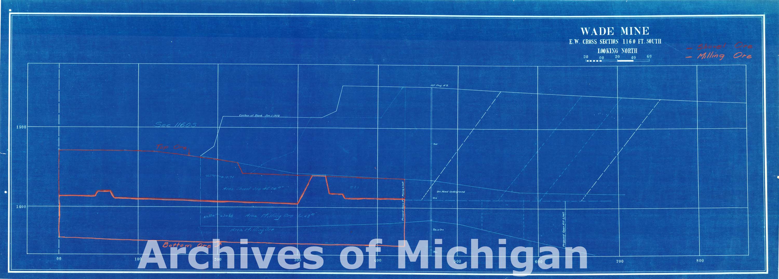
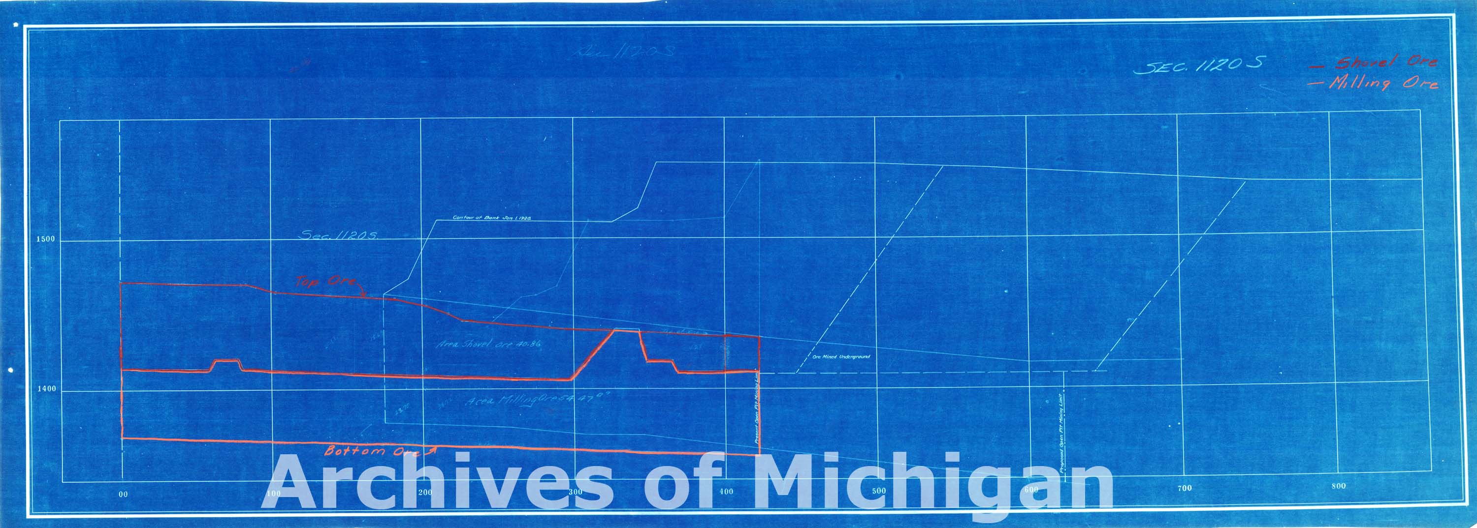
Map of Wade Mine 1920 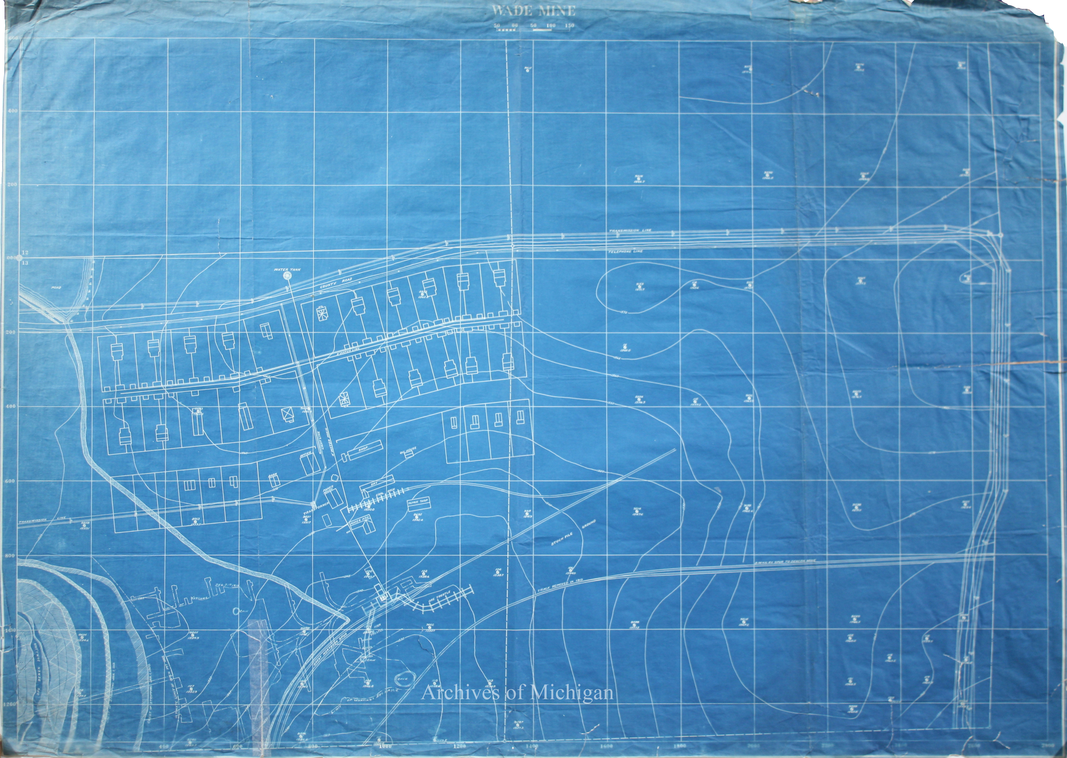
|
||||||||||||||||
|
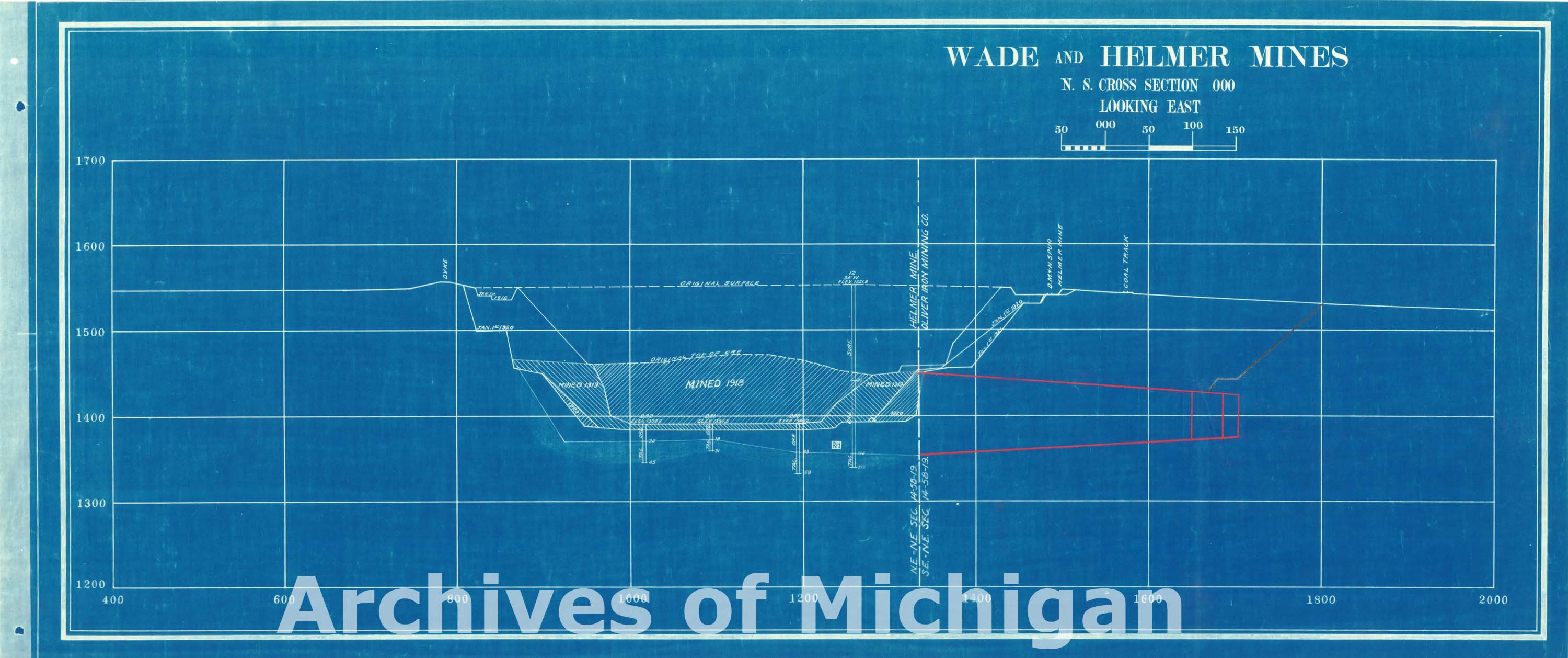
Wade-Helmer Mines and Vicinity 1924 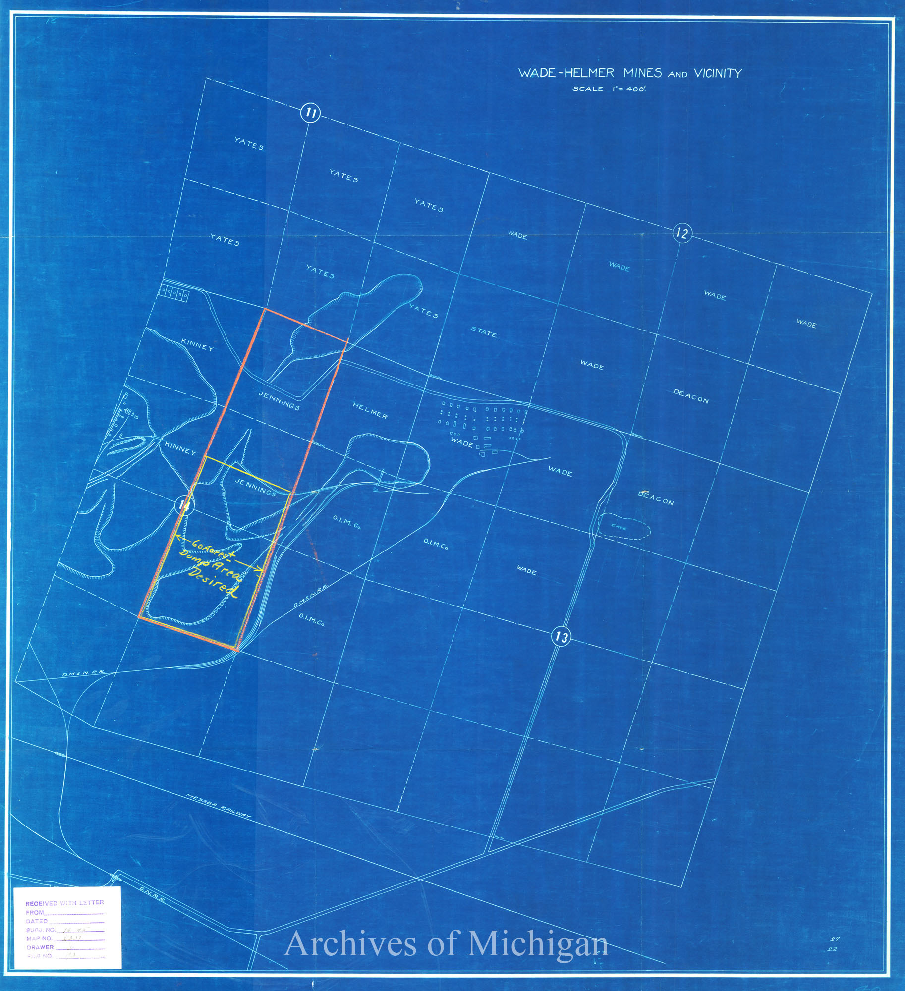
|
||||||||||||||||
|
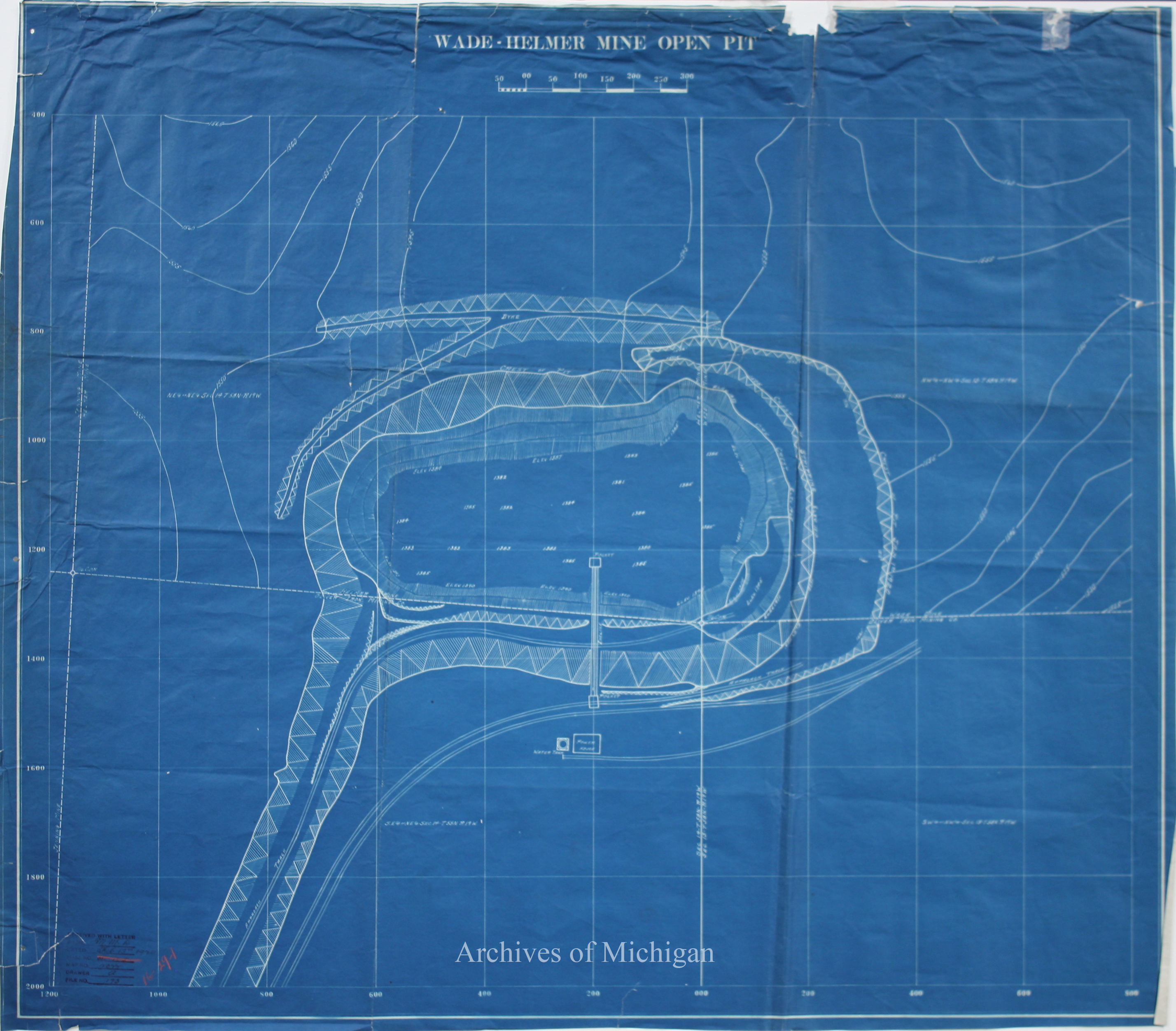
Plan of Wade-Helmer Mine Open Pit (2 Plans) 1924 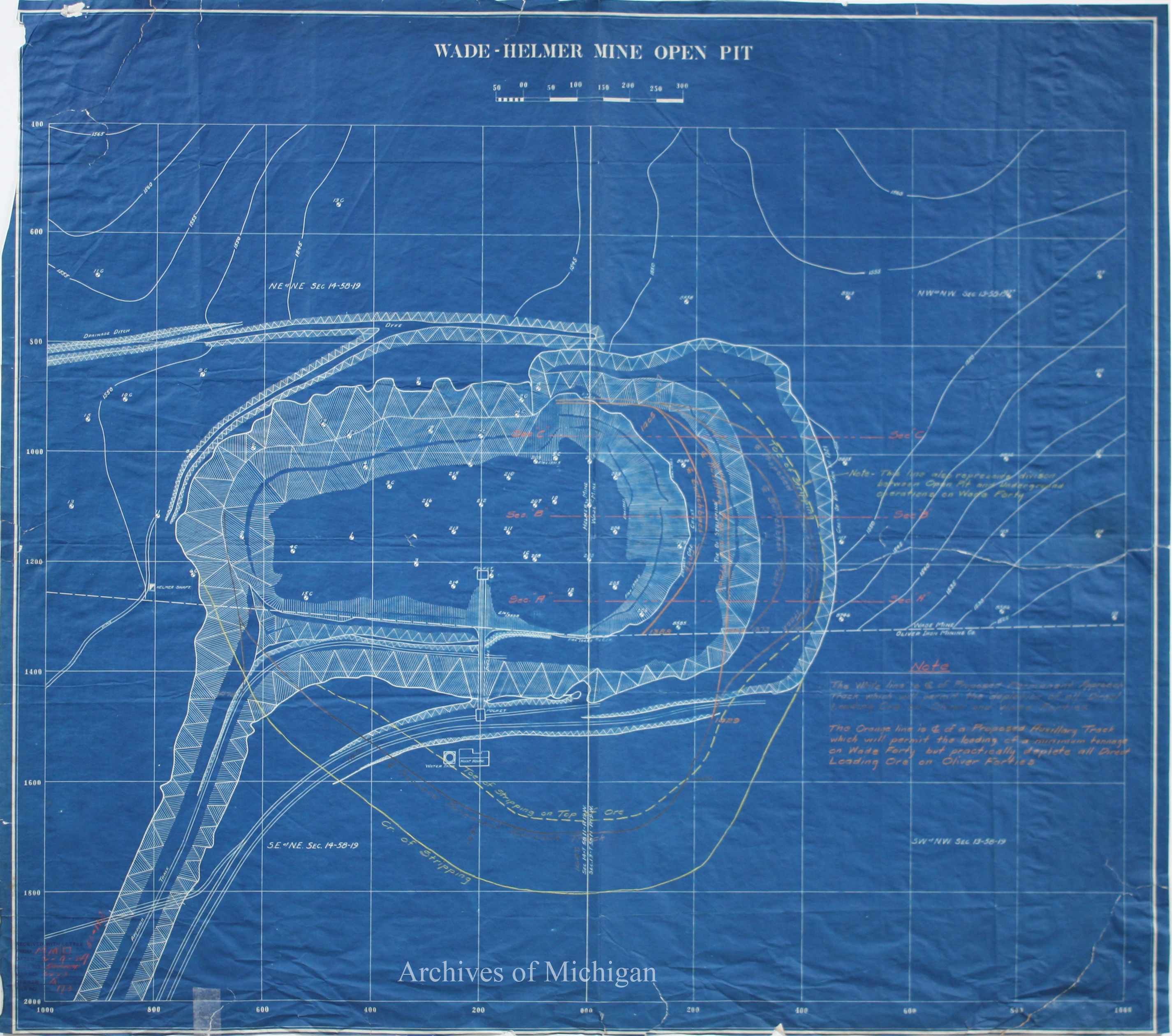
|
||||||||||||||||
|
Plan of Wade Helmer Mine 1924 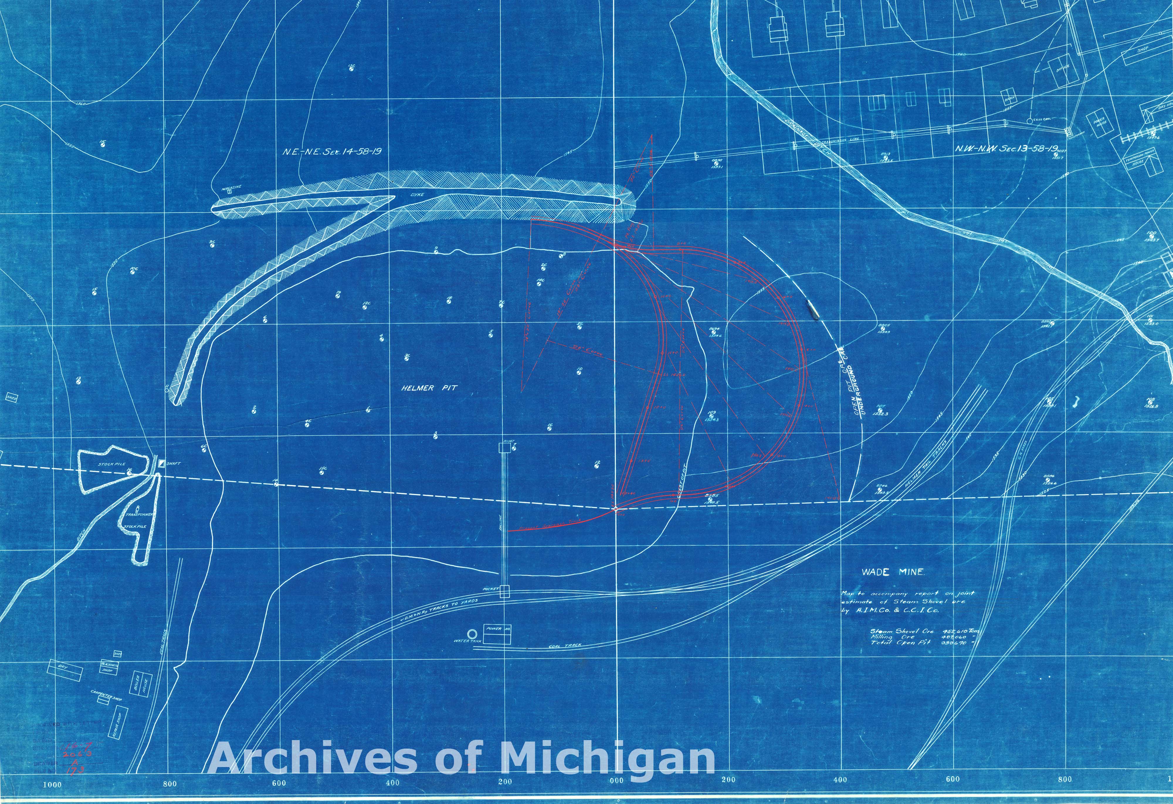
|
||||||||||||||||
|
Plan of Wade and Helmer Mines (10 maps) 1924 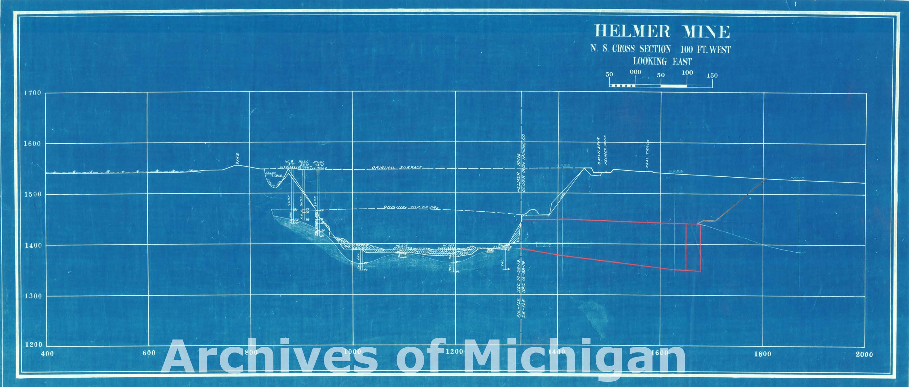

|
||||||||||||||||
|
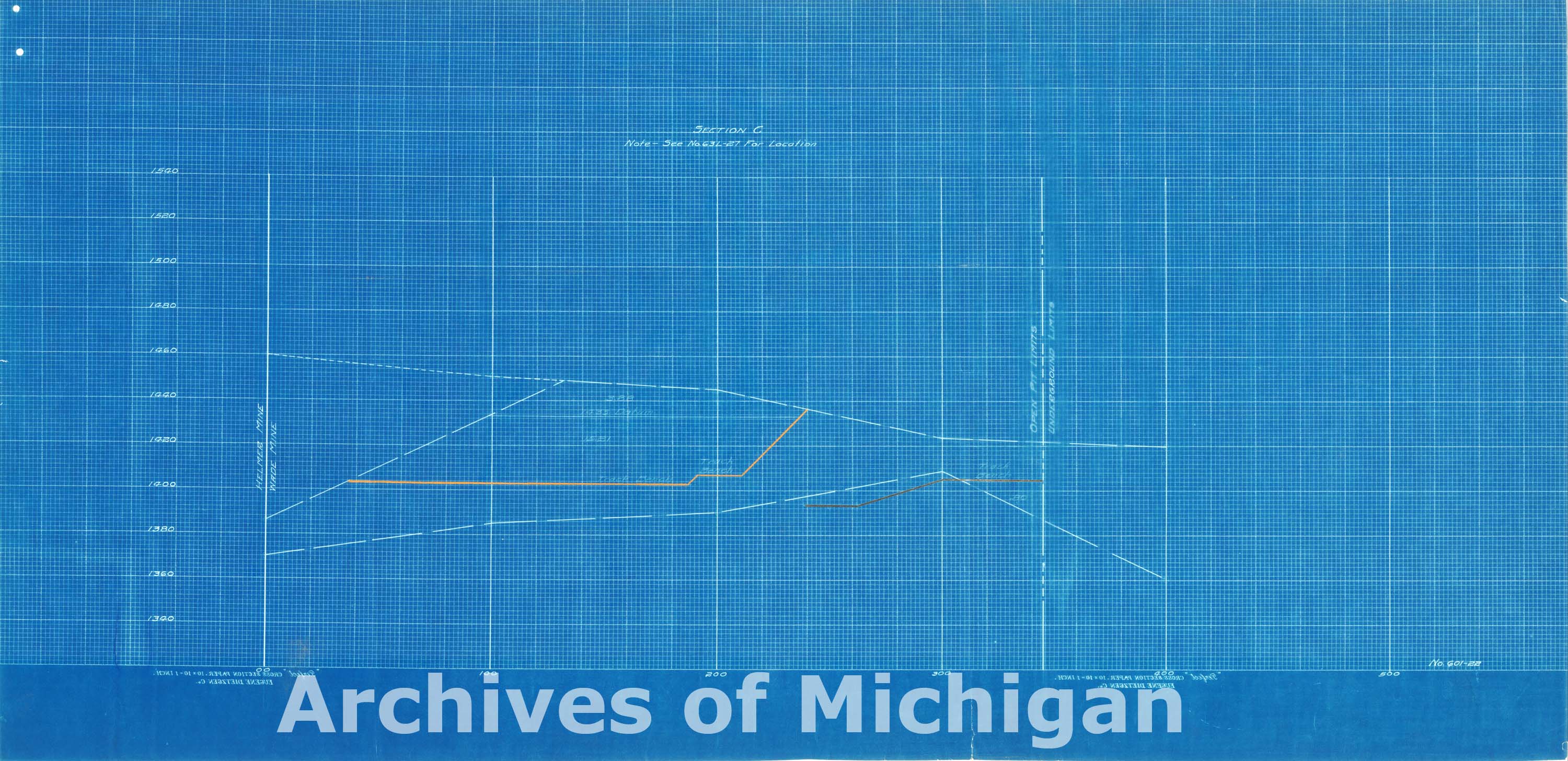
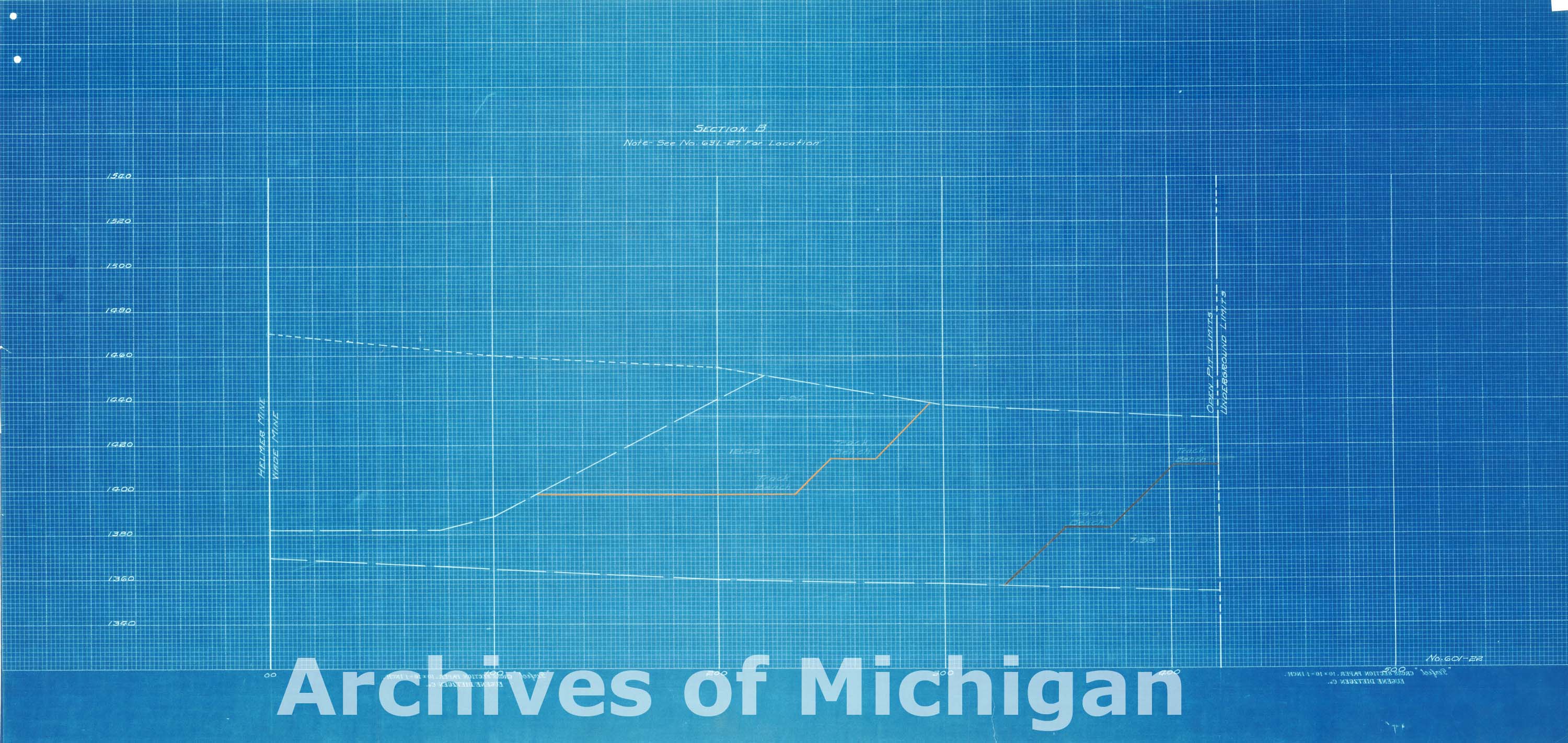
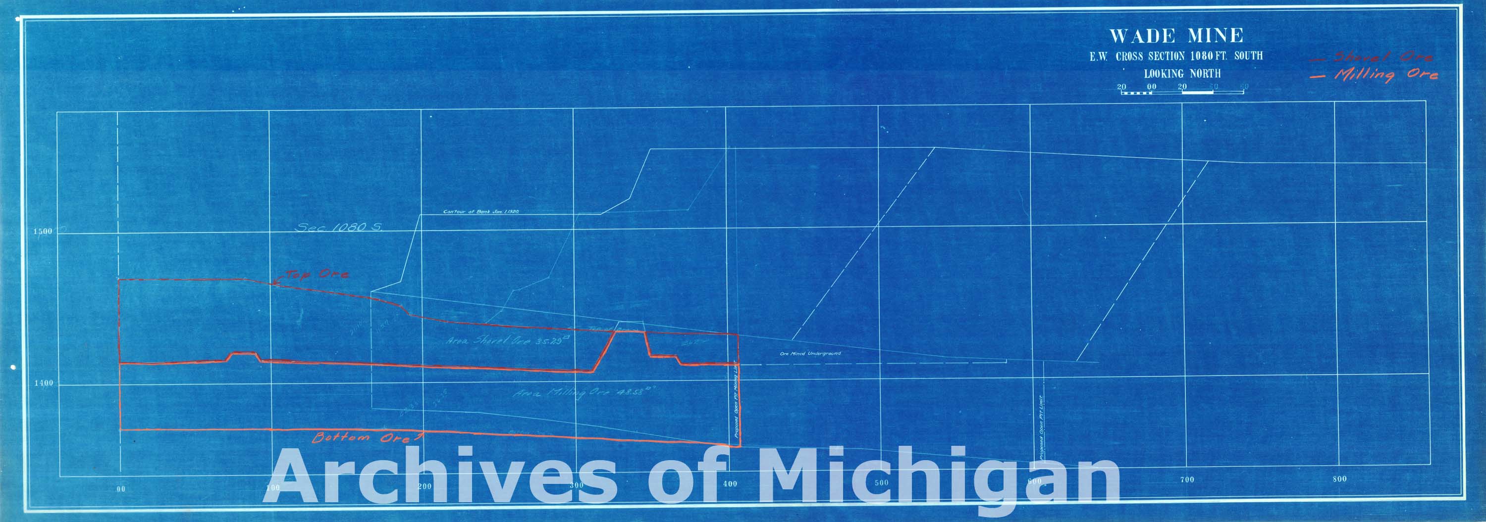
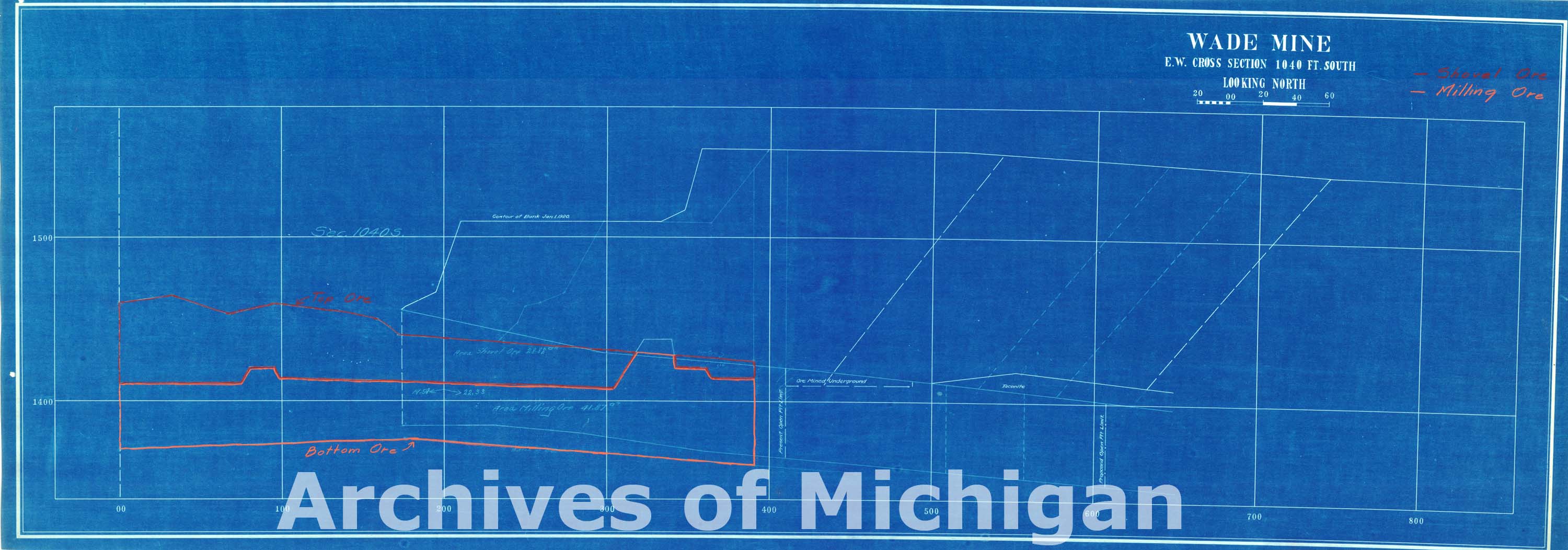
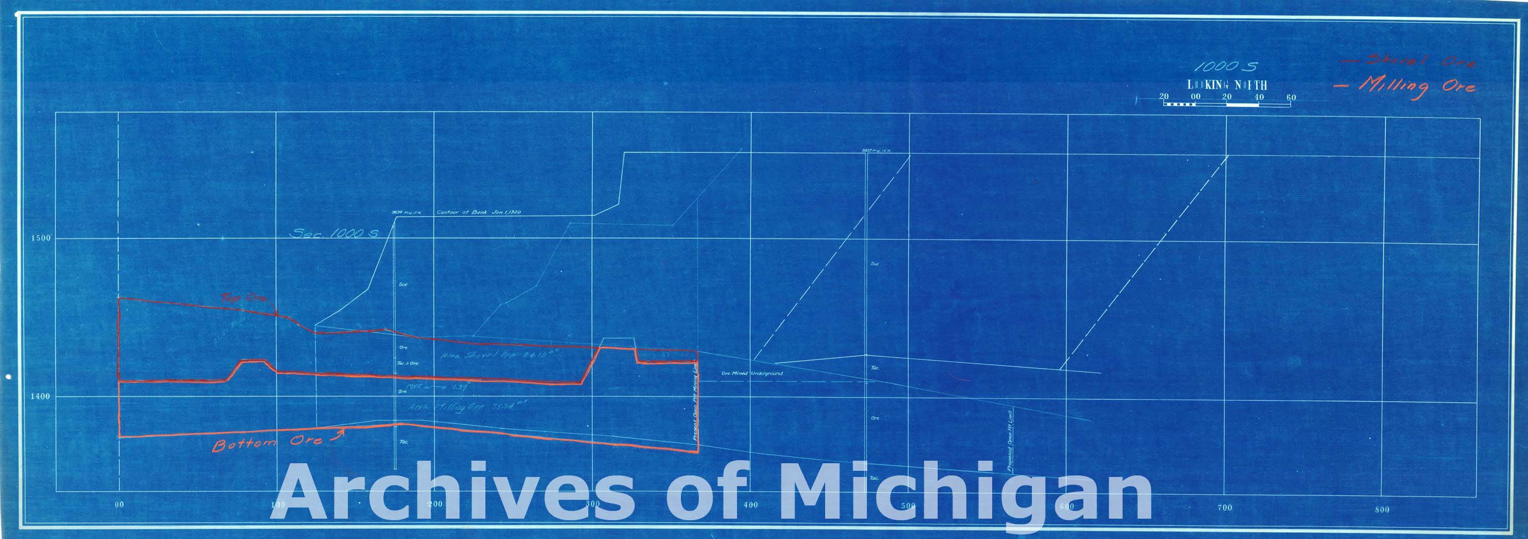
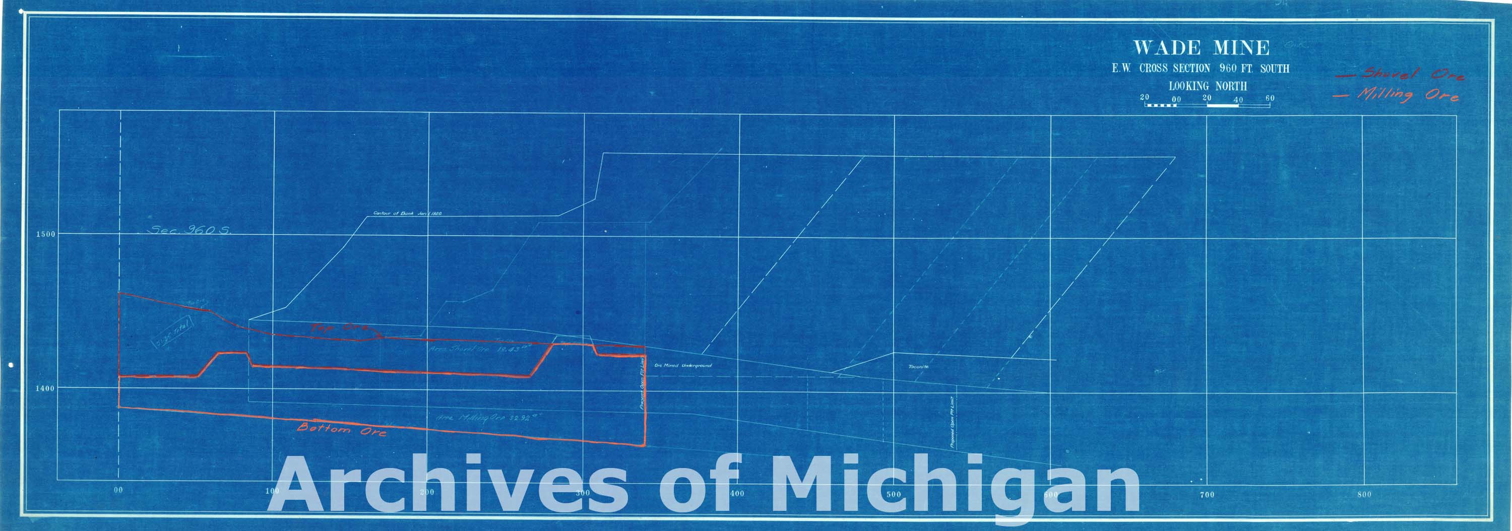
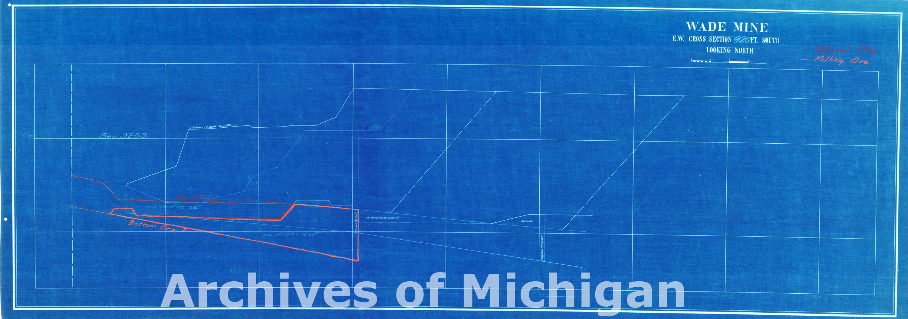
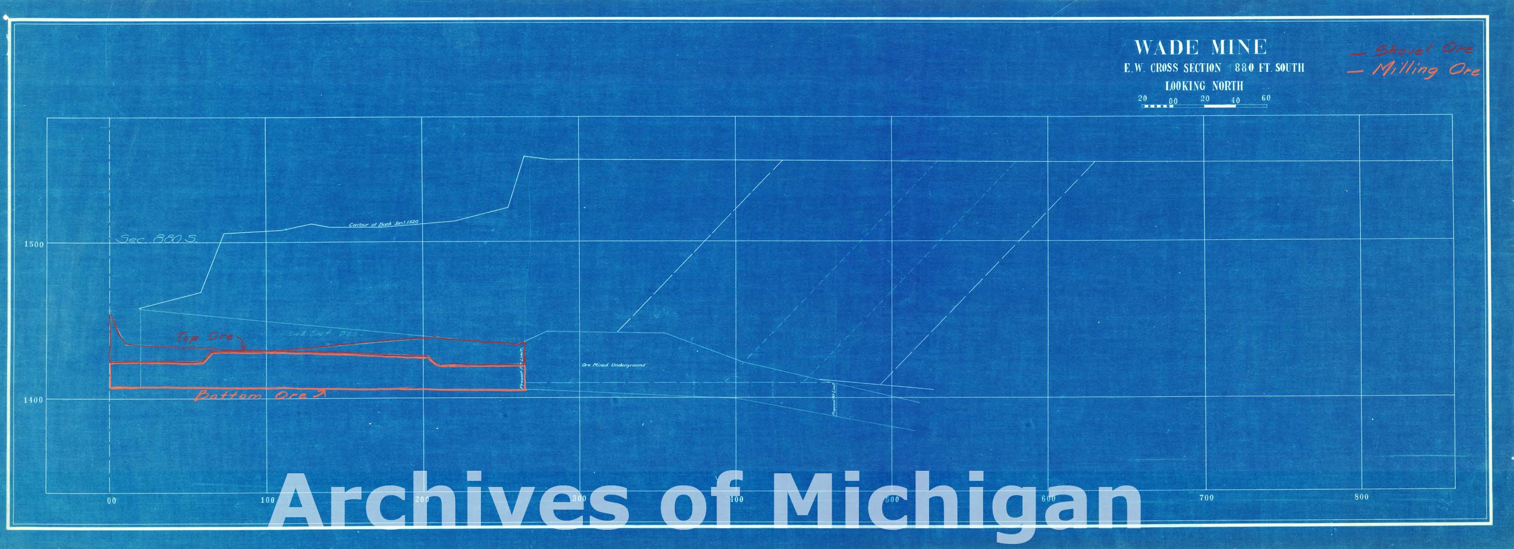
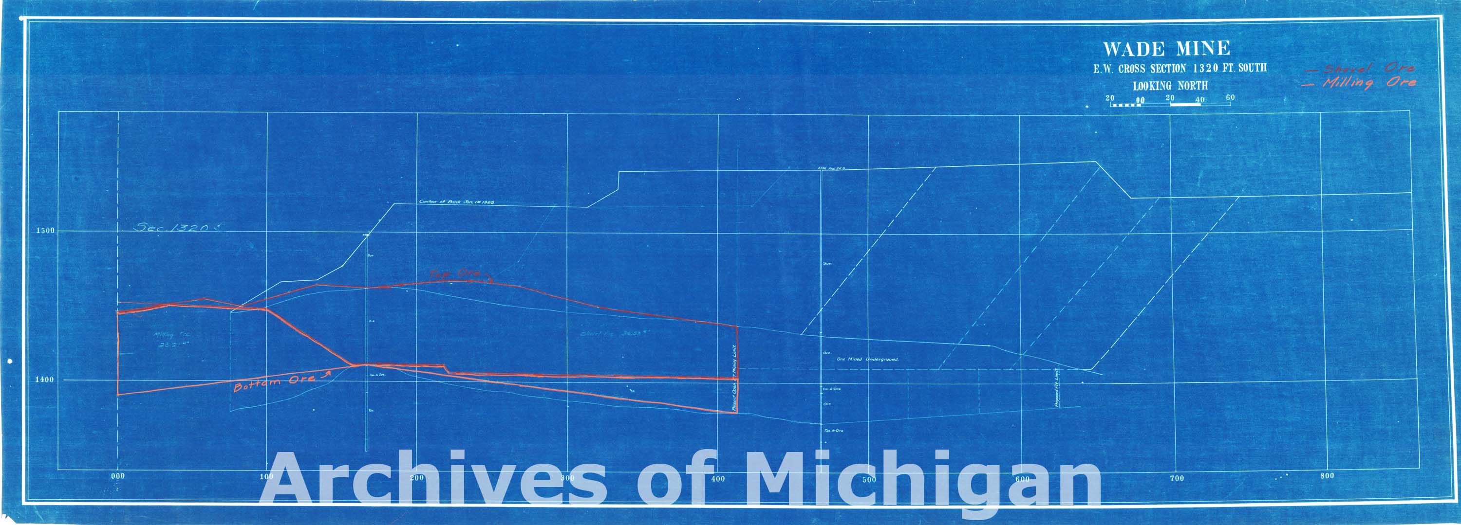
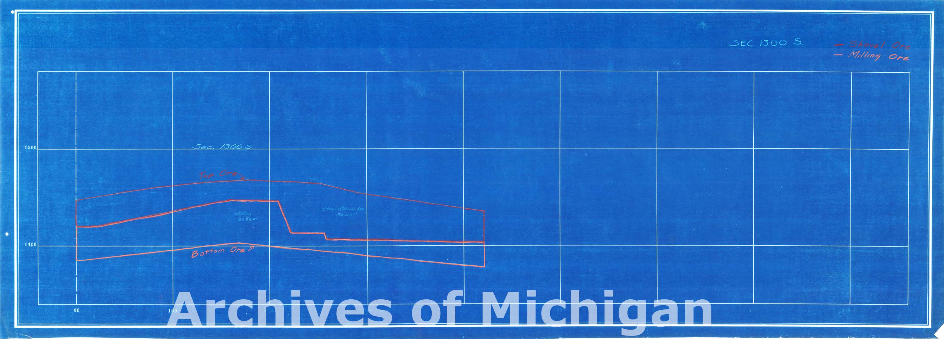
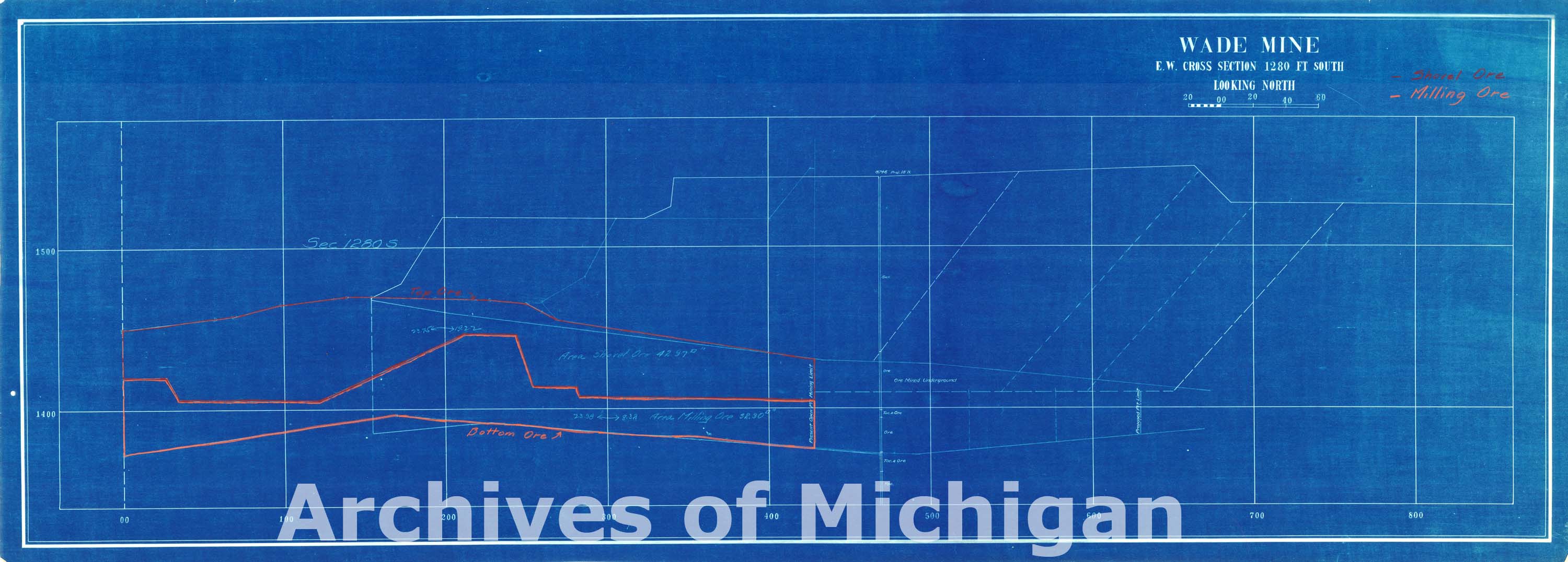
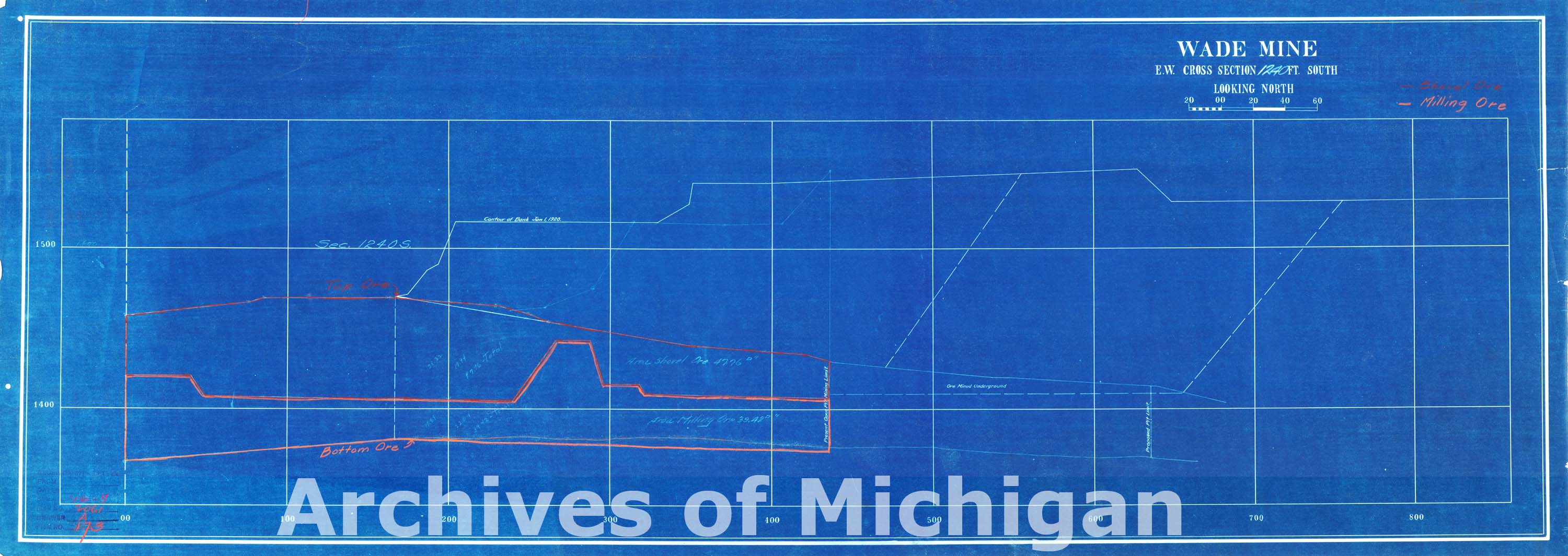
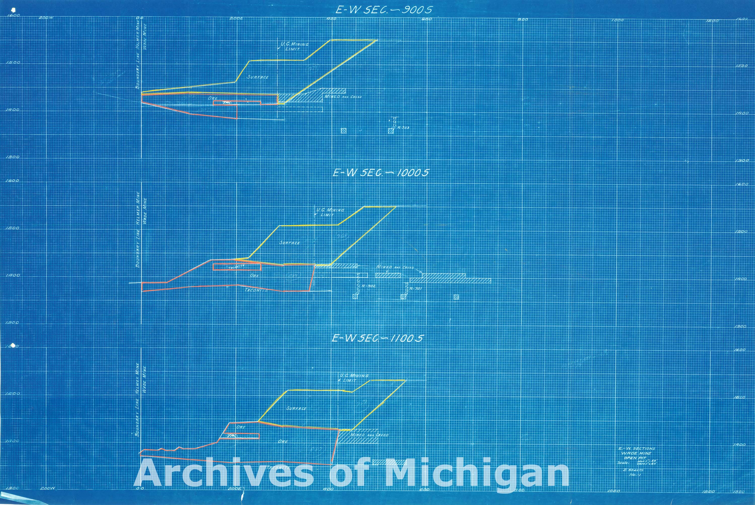
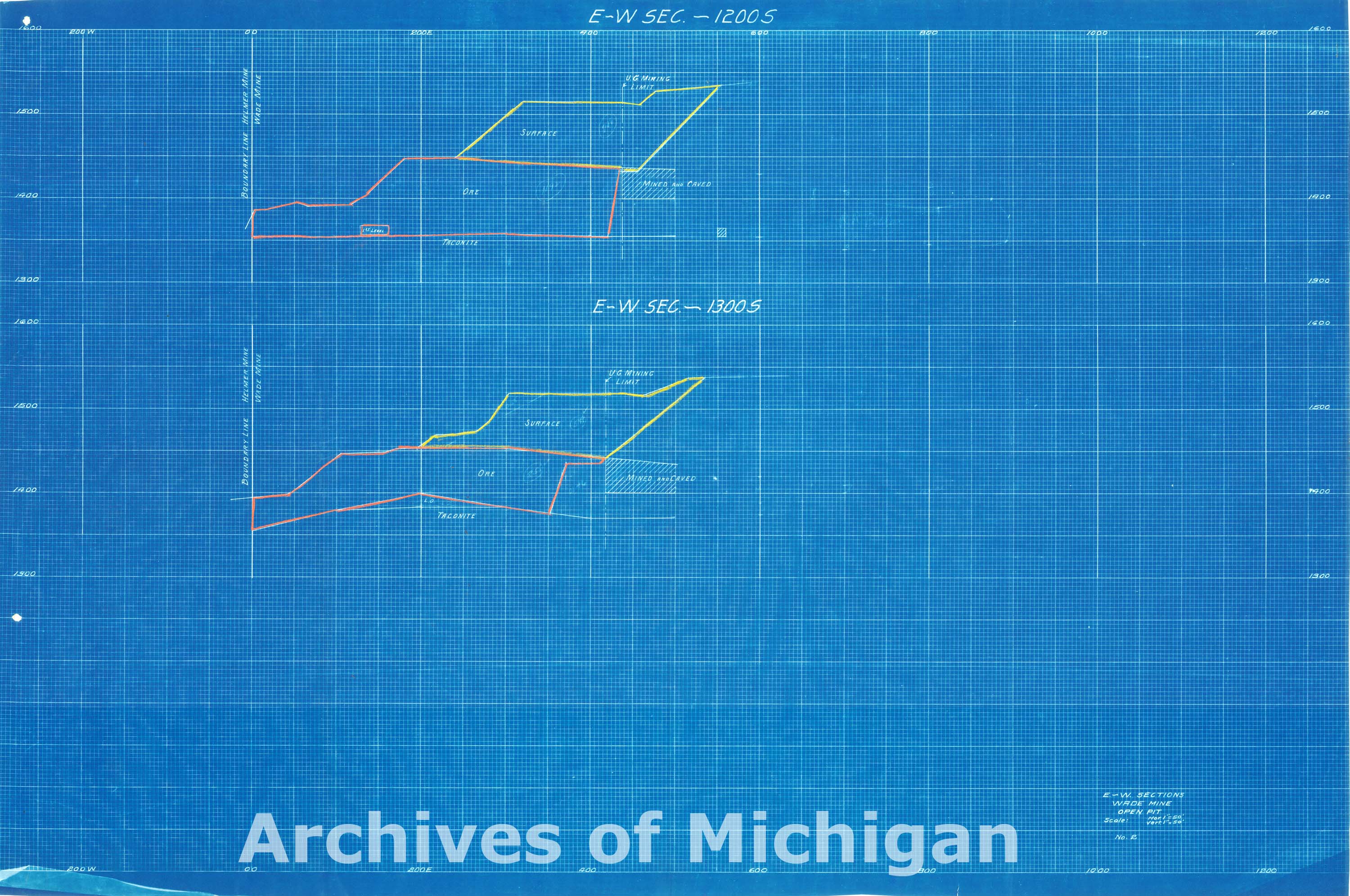
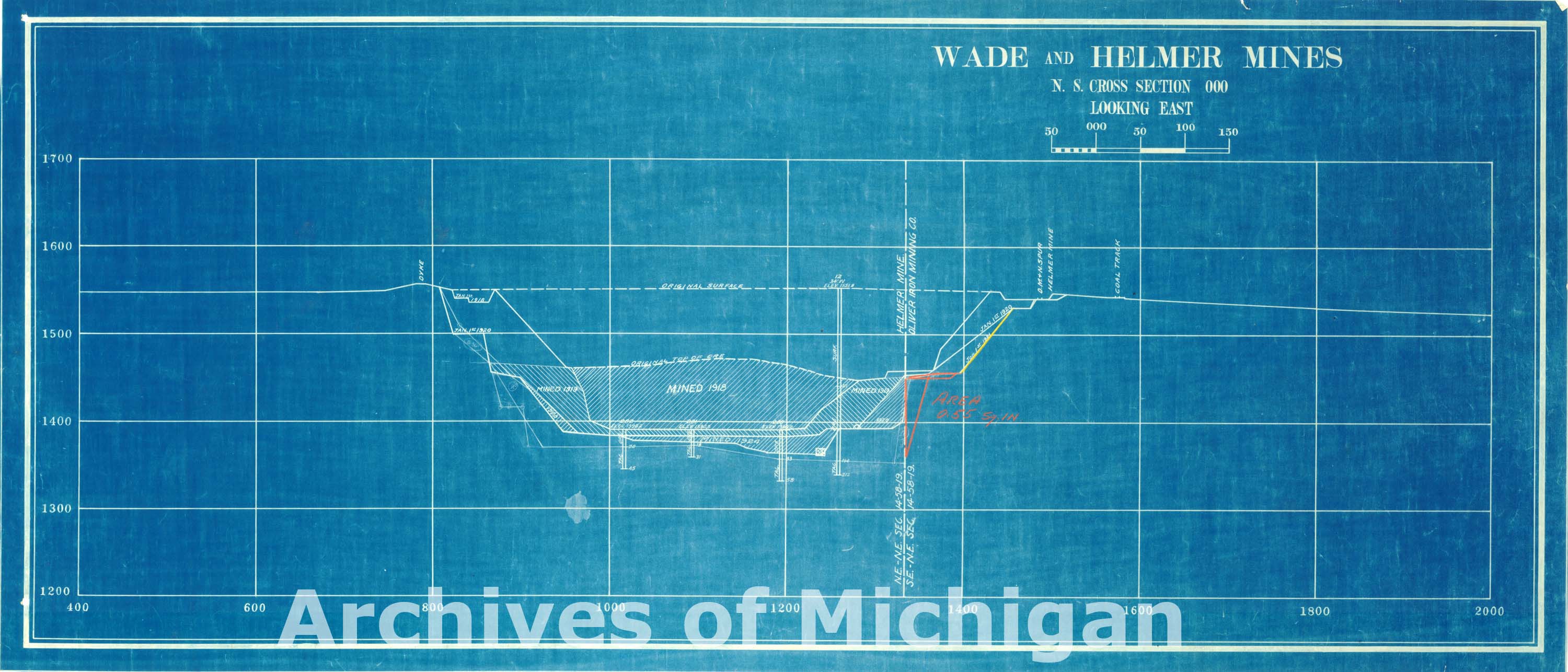
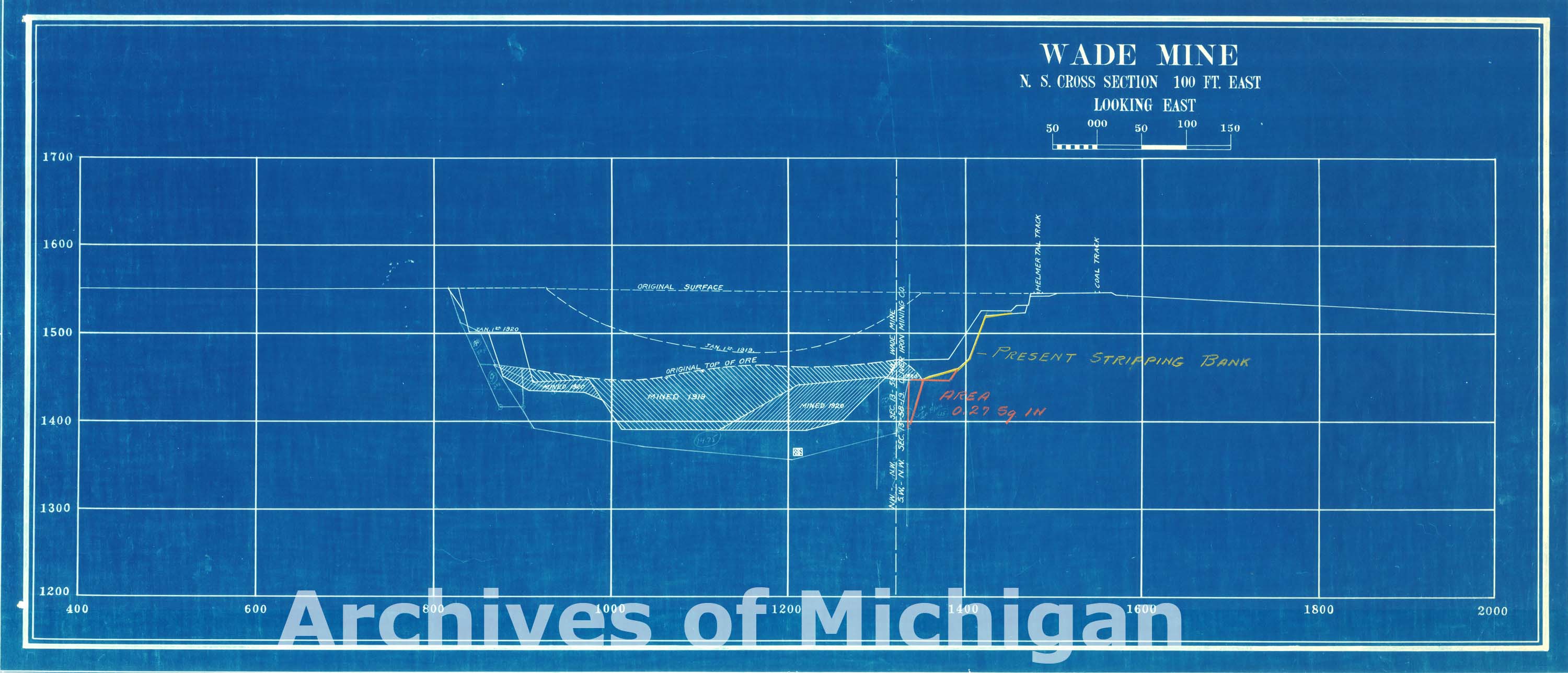
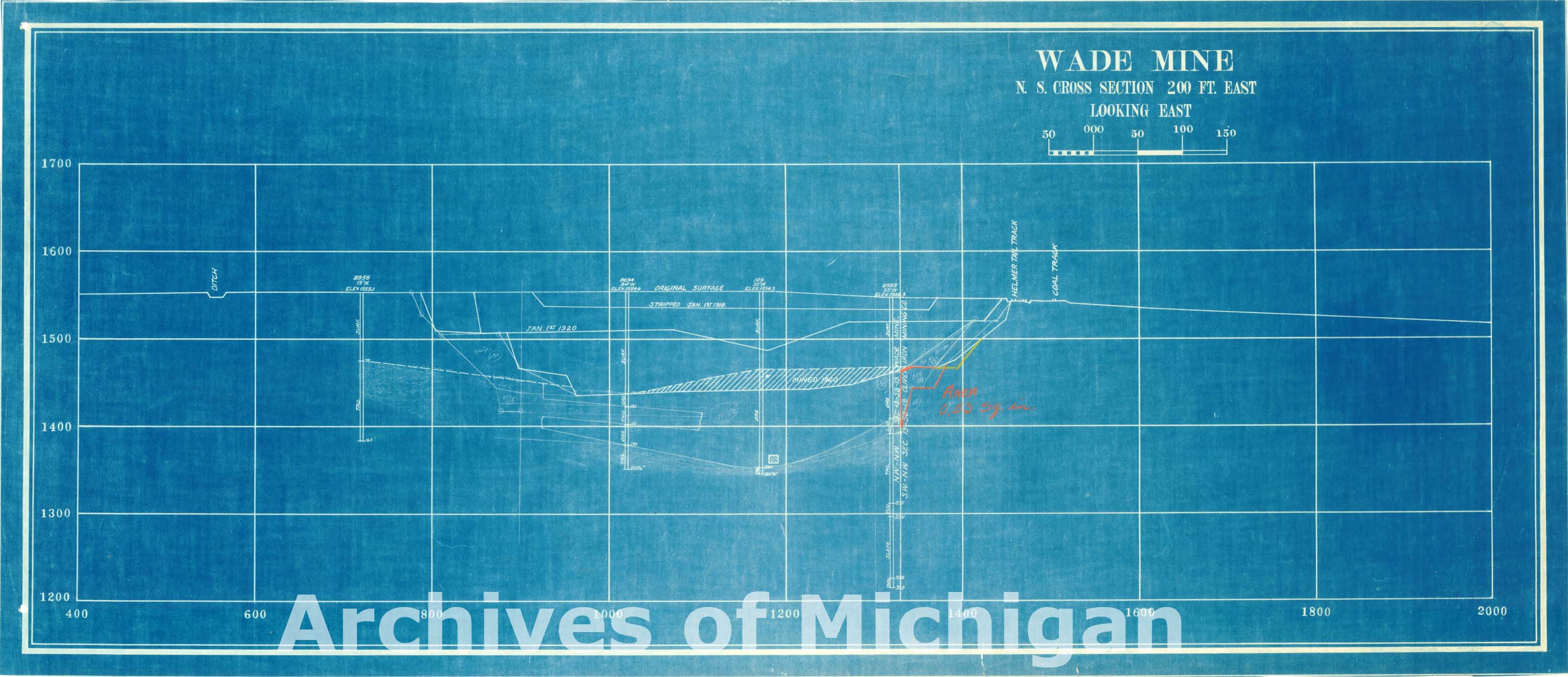
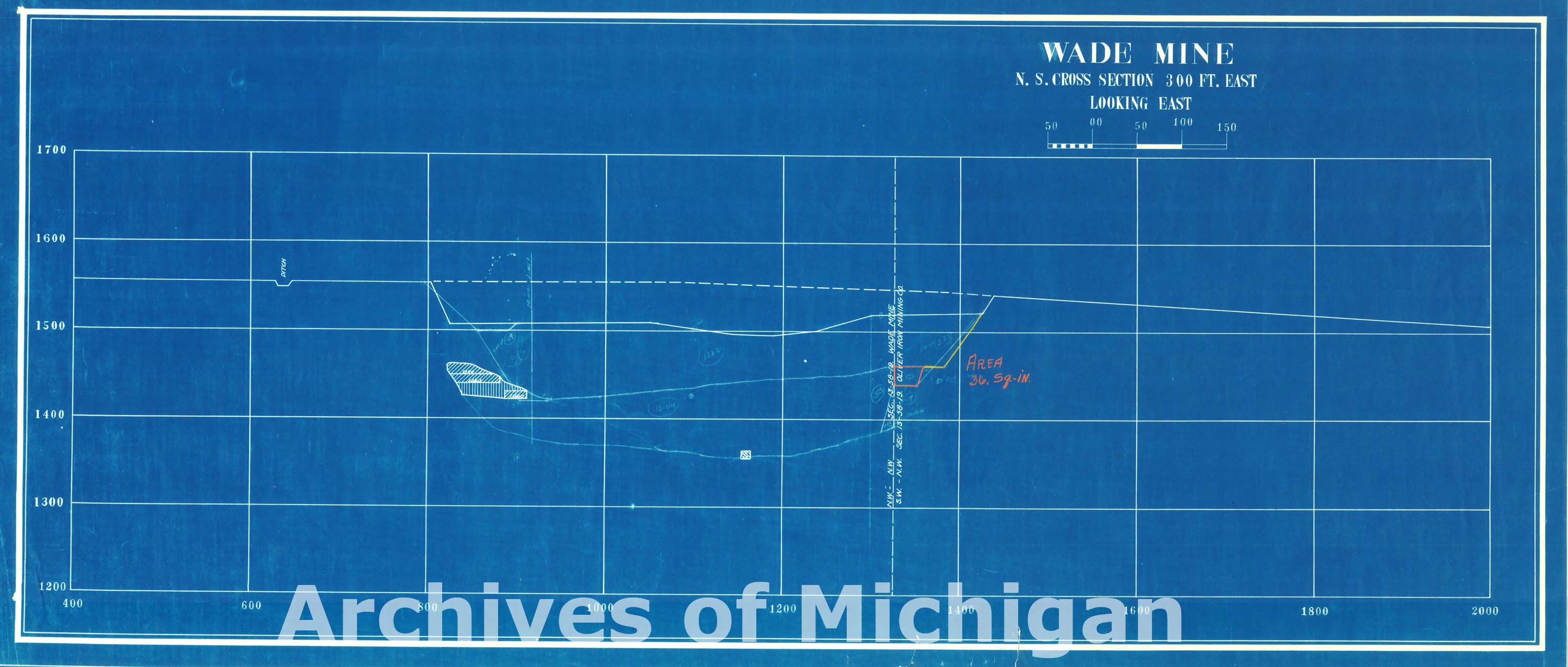
Wade Mine E. W. Cross Sections (13 Plans) 1925 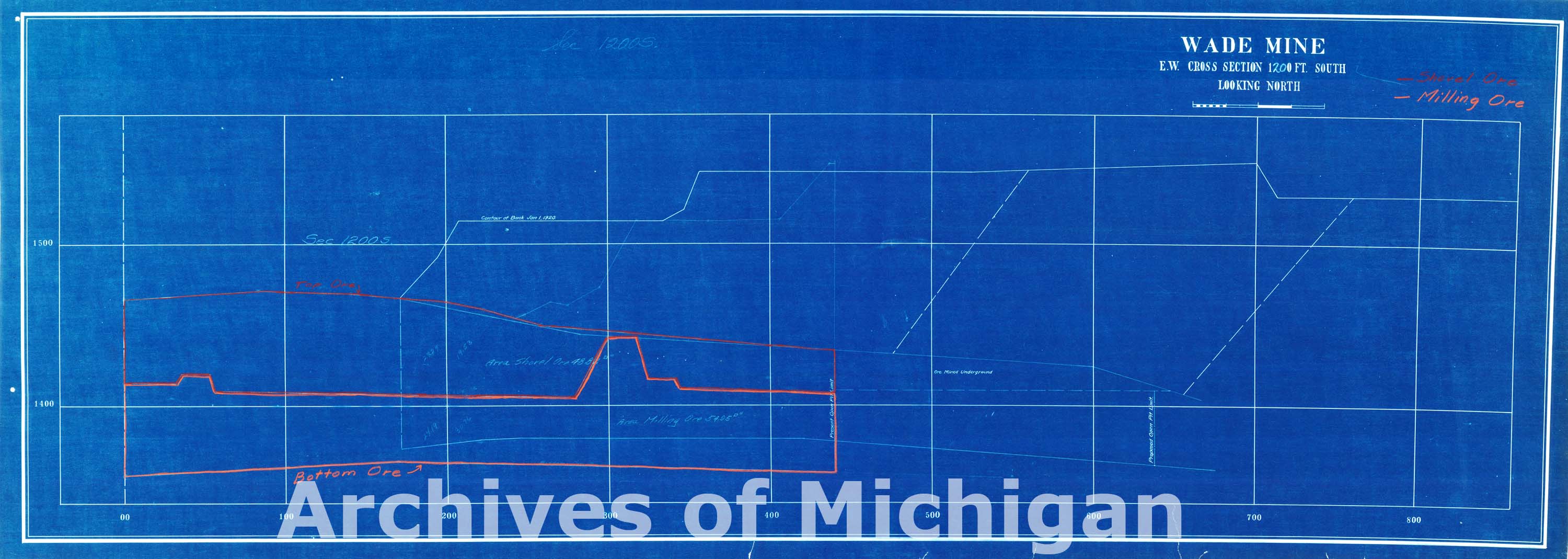
|
||||||||||||||||
|
Wade Mine and Vicinity 1926 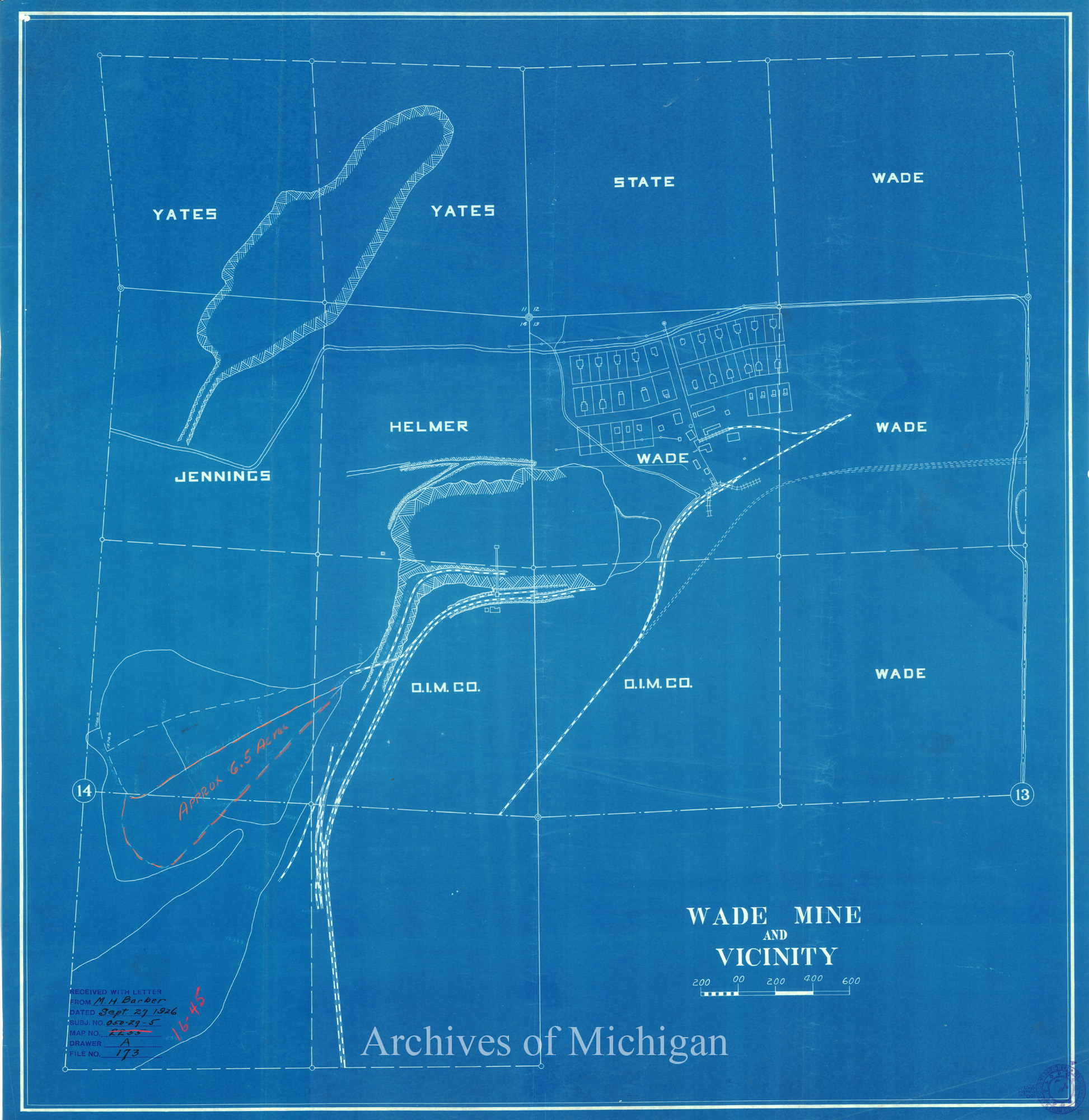
|
||||||||||||||||
|
Wade Mine and Vicinity 1926 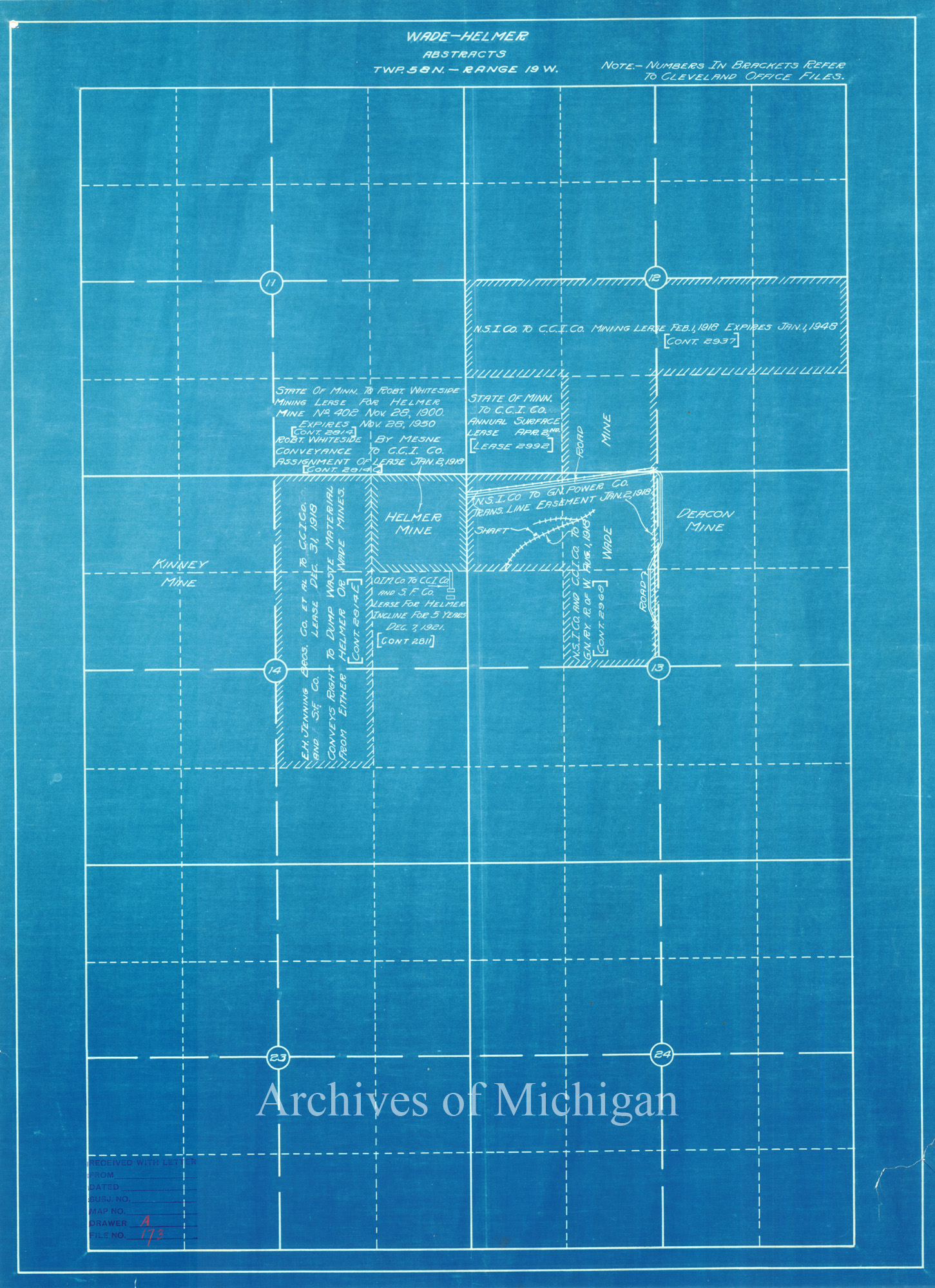
|
||||||||||||||||
|
Wade Mine Open Pit (3 Plans) 1926 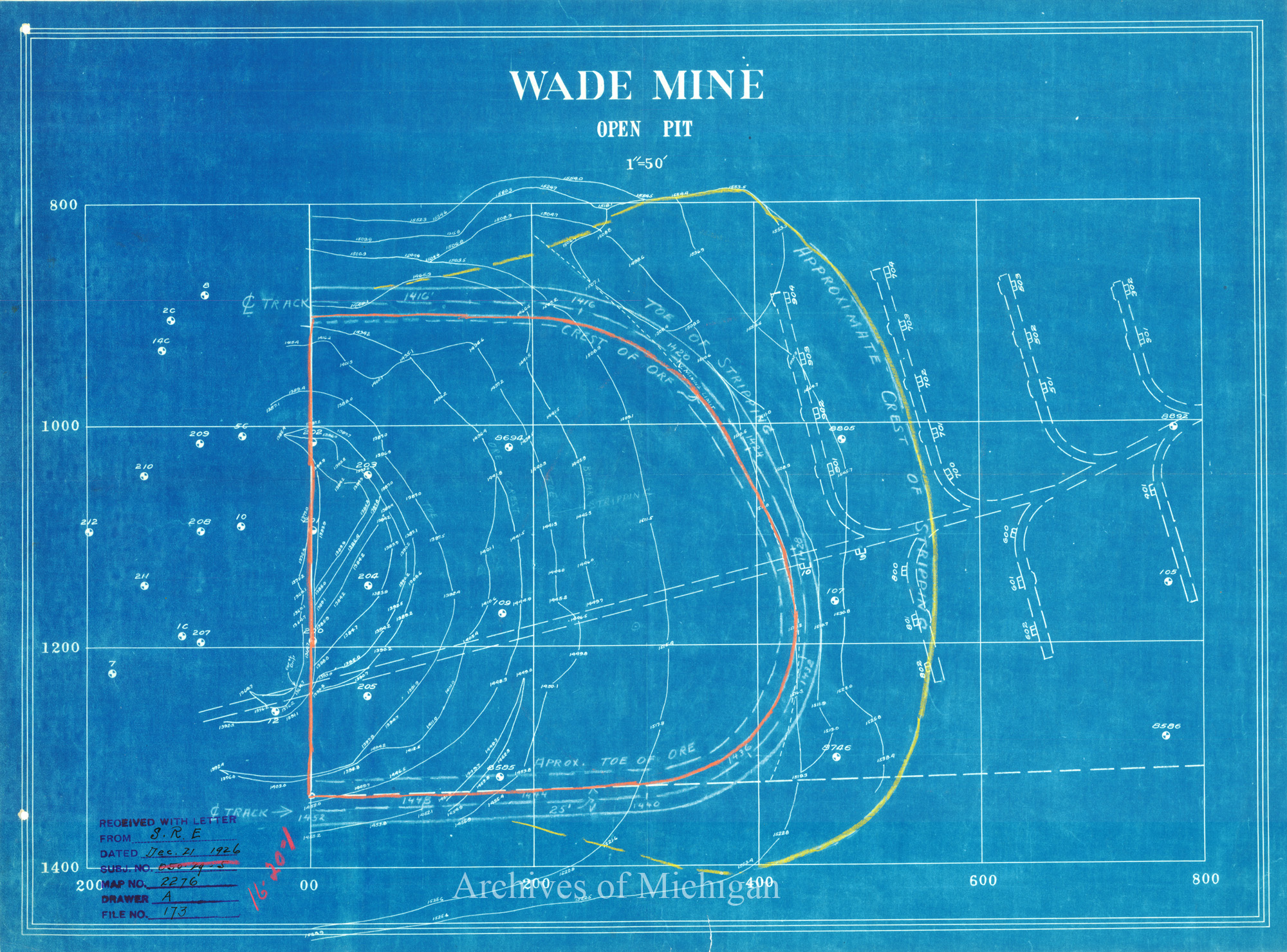
|
||||||||||||||||
|
Wade Mine Open Pit (5 Plans) 1927 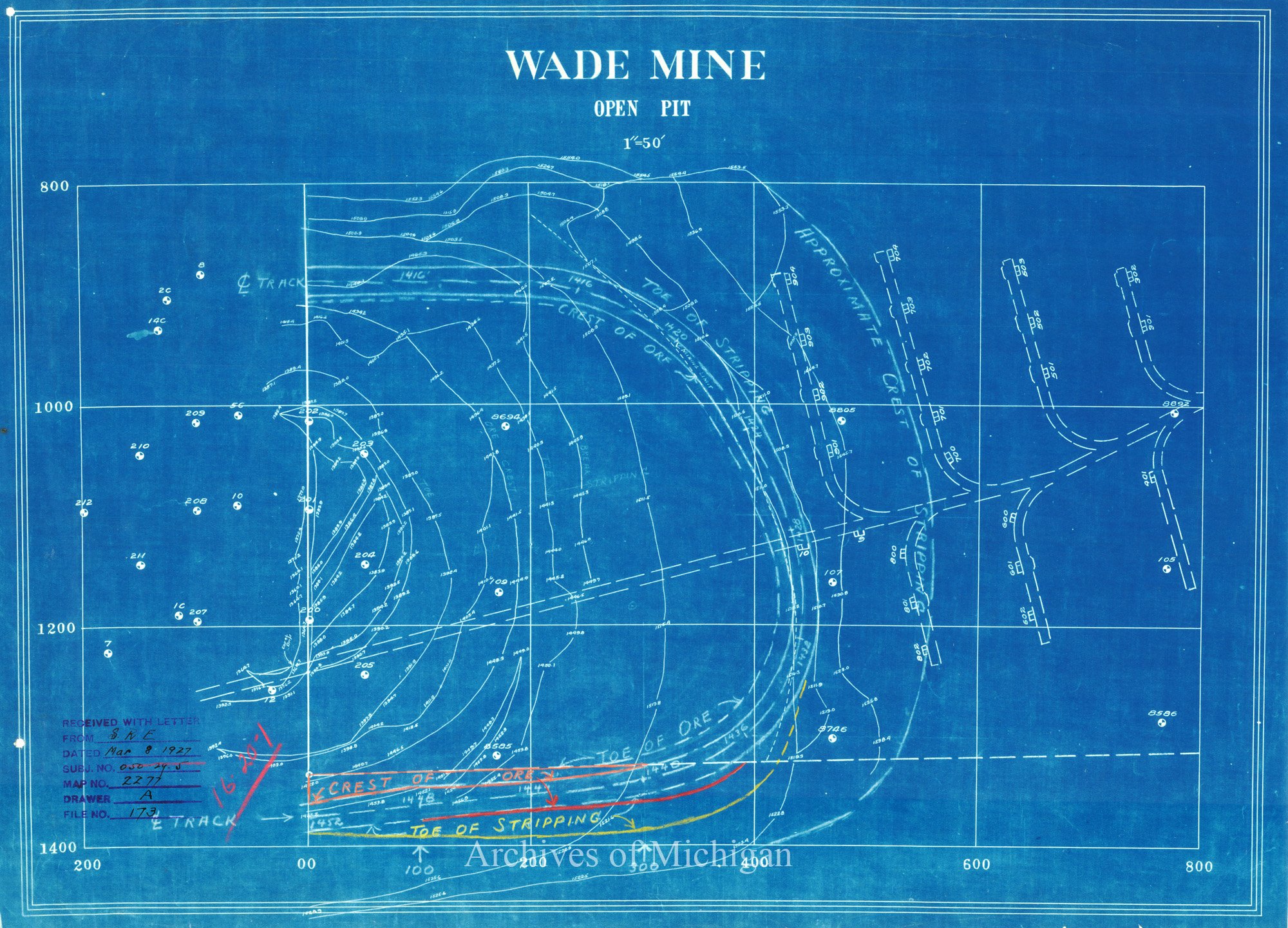
|
||||||||||||||||
|
Wade Mine Ore Contours- East Deposit and Plan of Development 1930 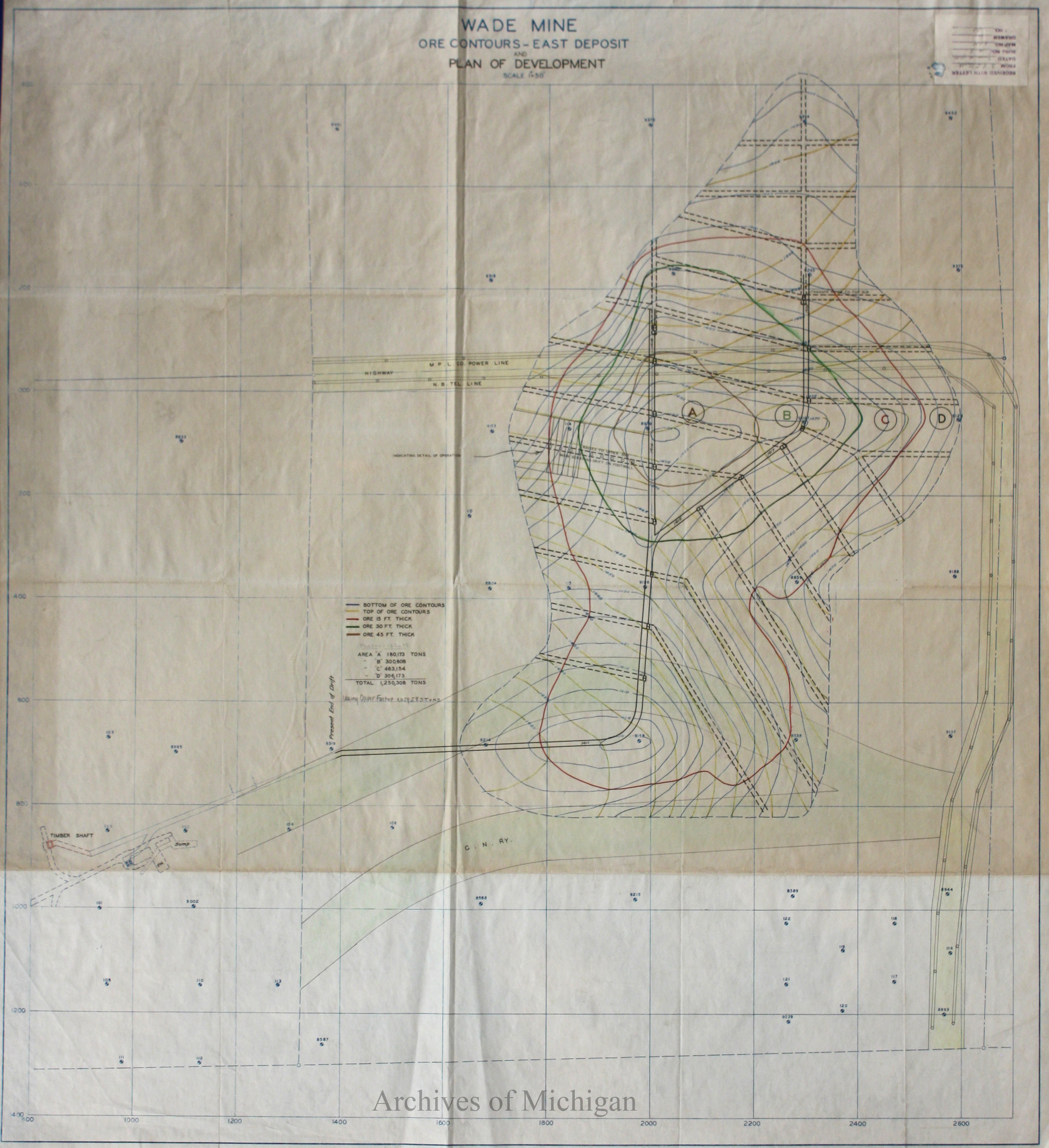
|
||||||||||||||||
|
Wade Mine Ore Contours- East Deposit 1930 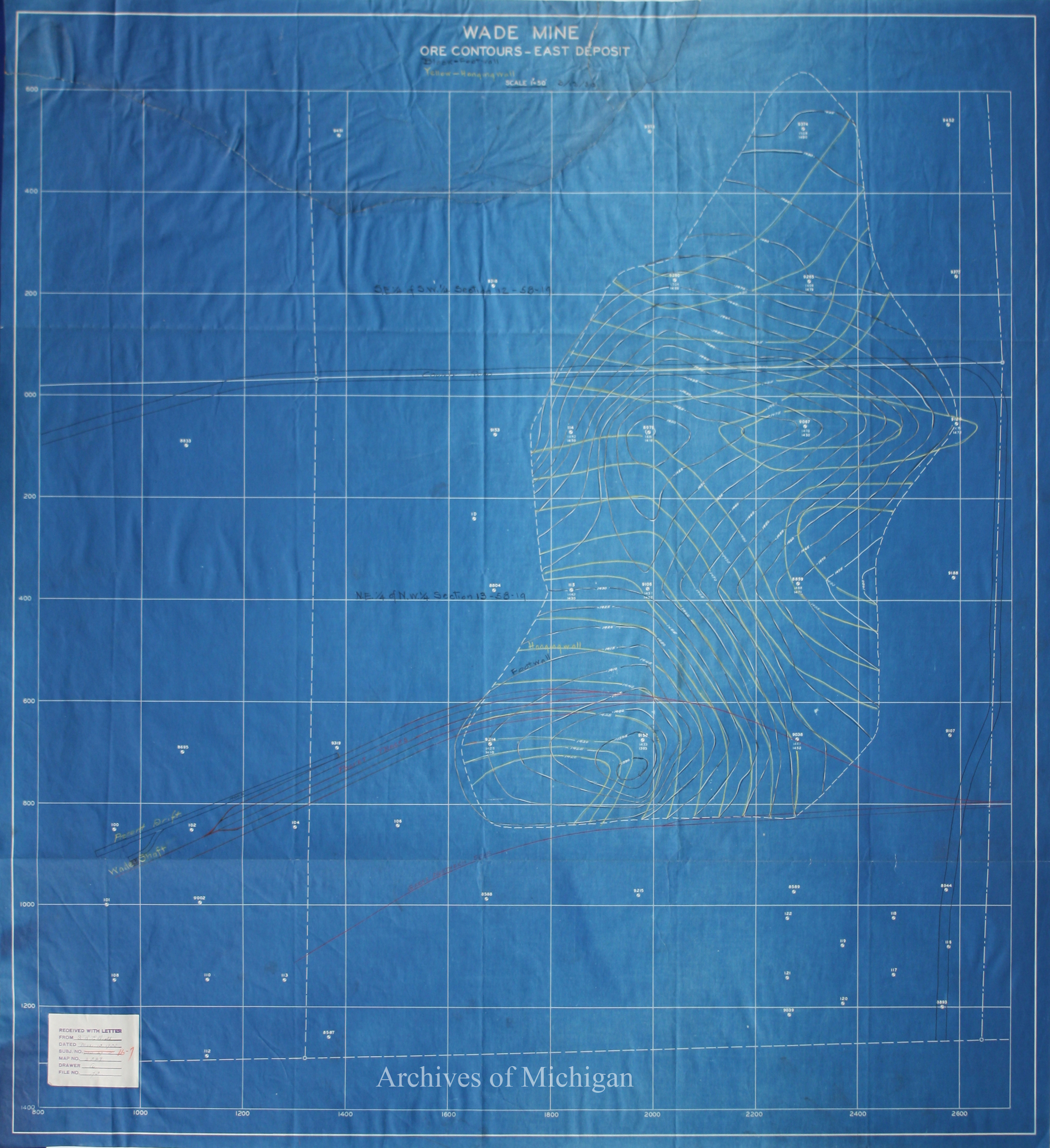
|
||||||||||||||||
|
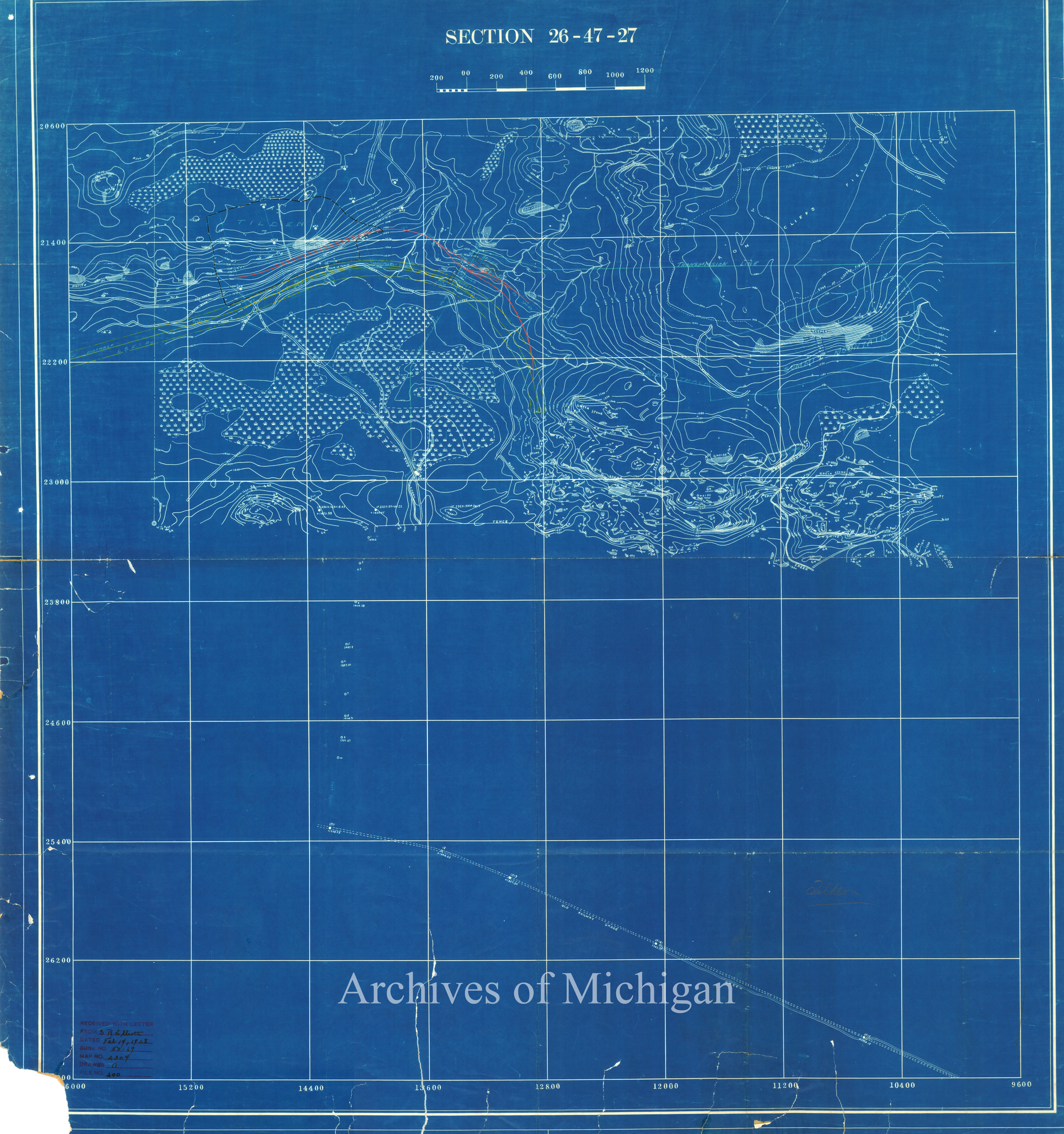
Tilden Mine Proposed Crushing Plant (2 maps) 1928 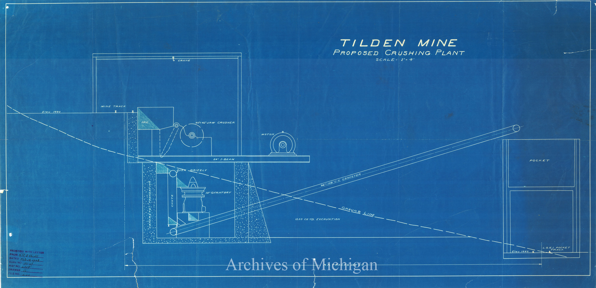
|
||||||||||||||||
|
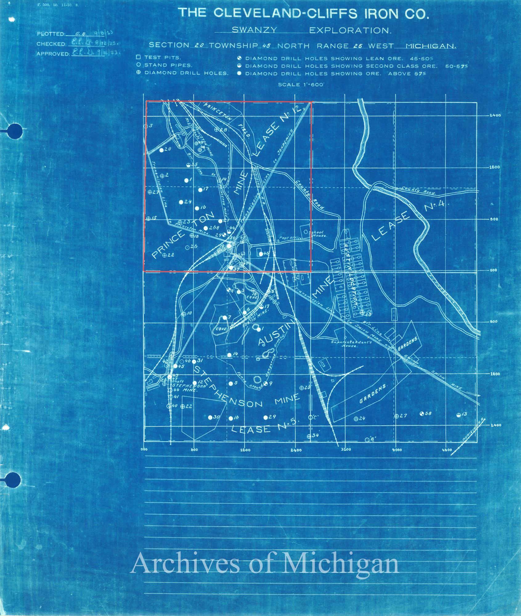
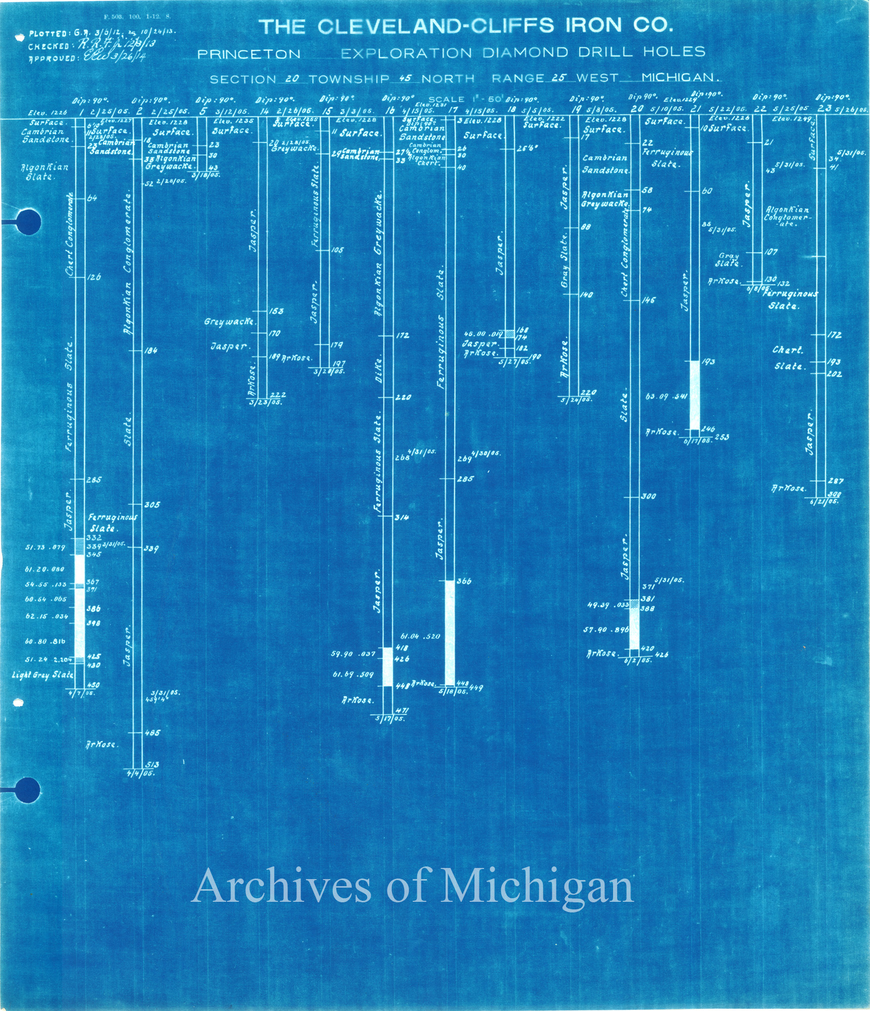
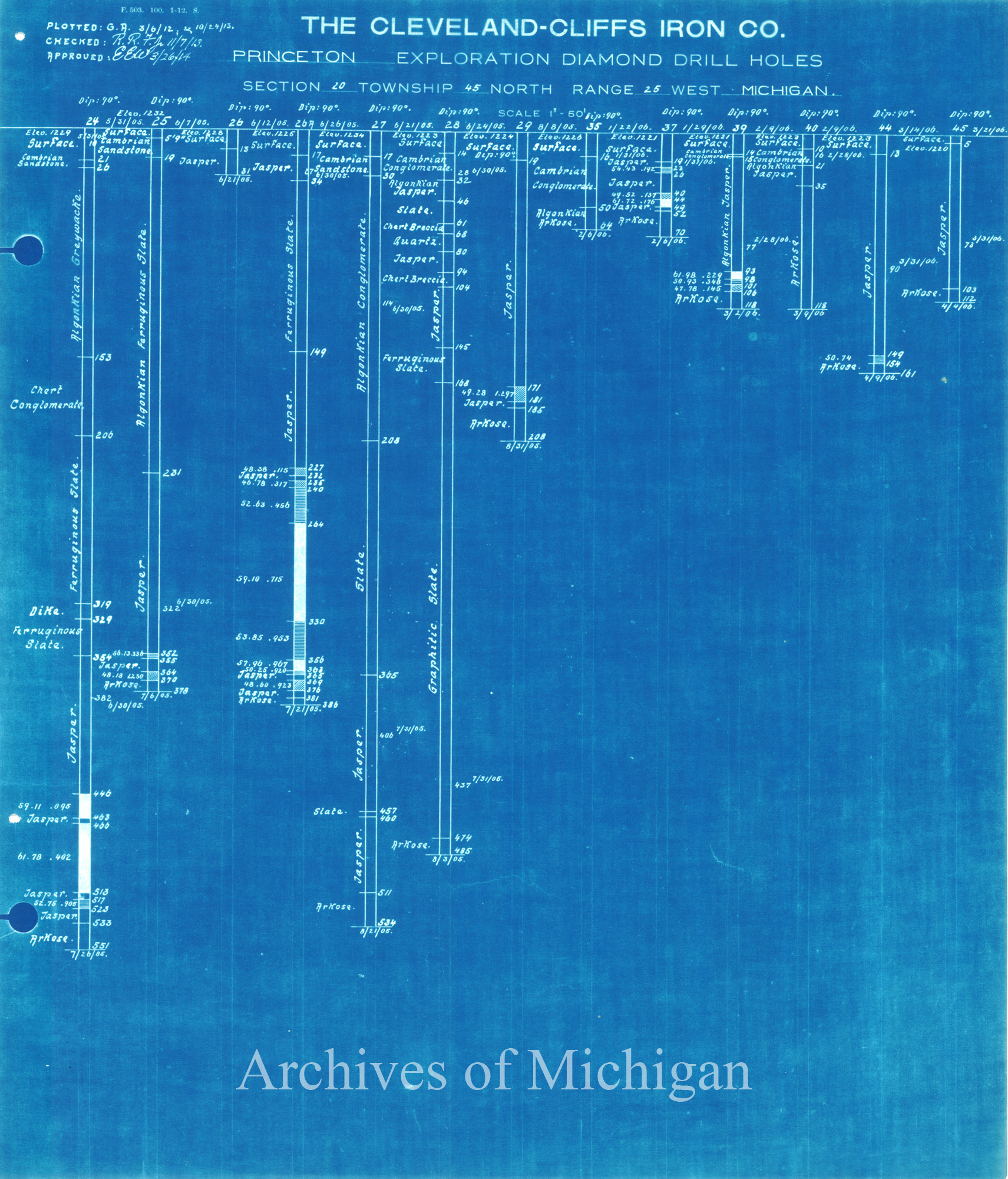
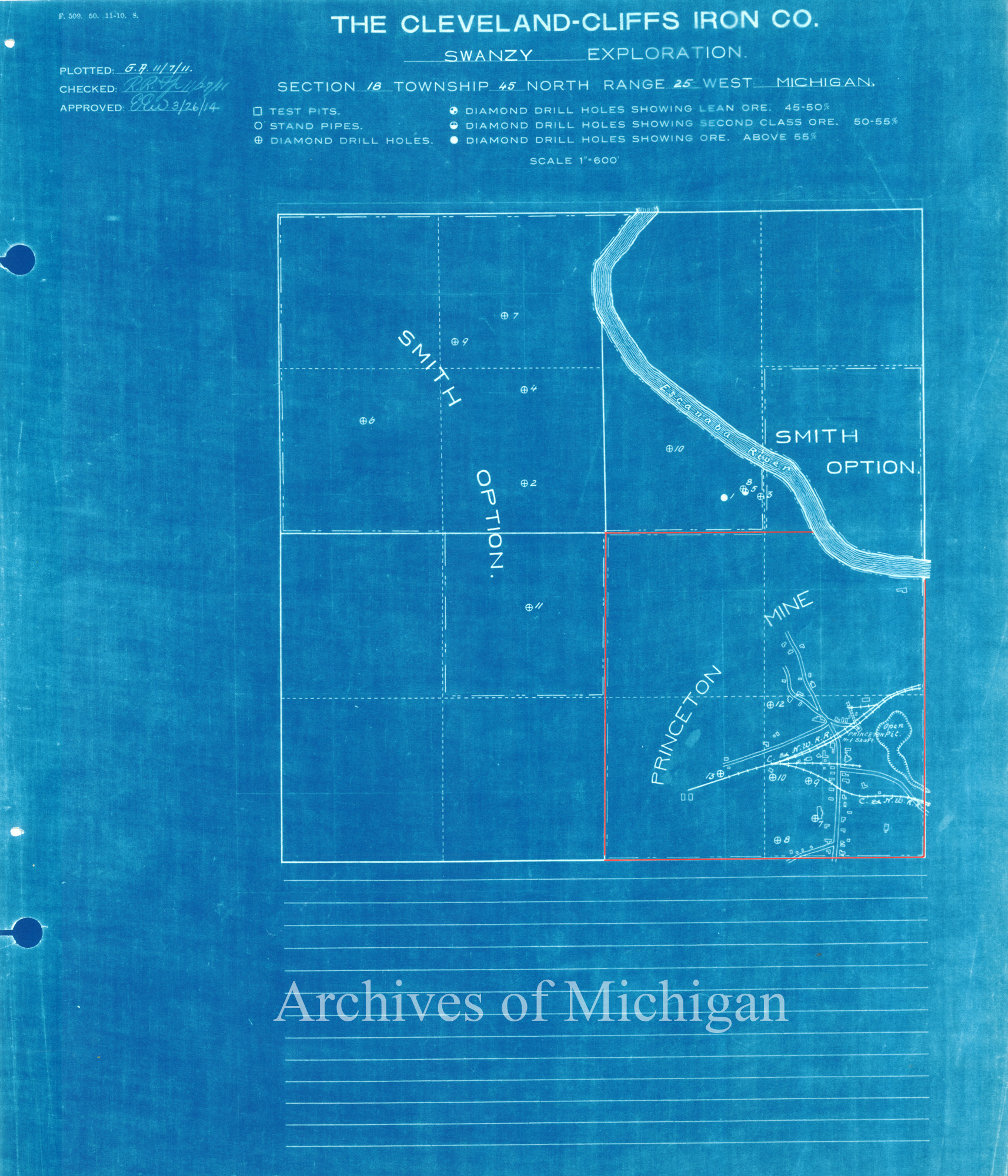
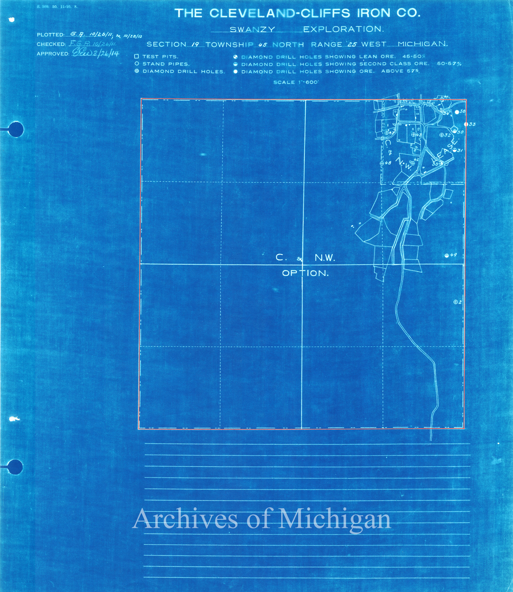
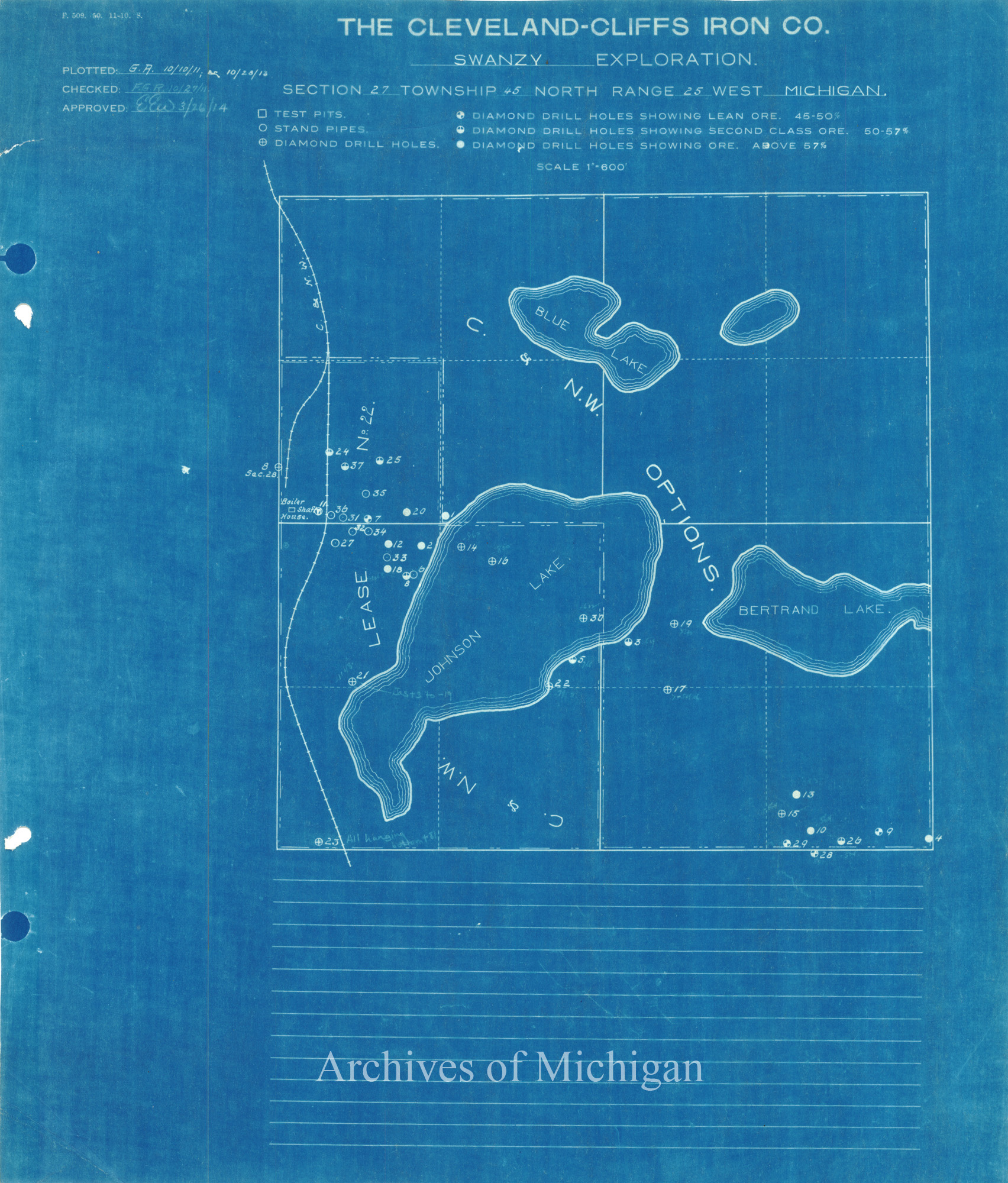
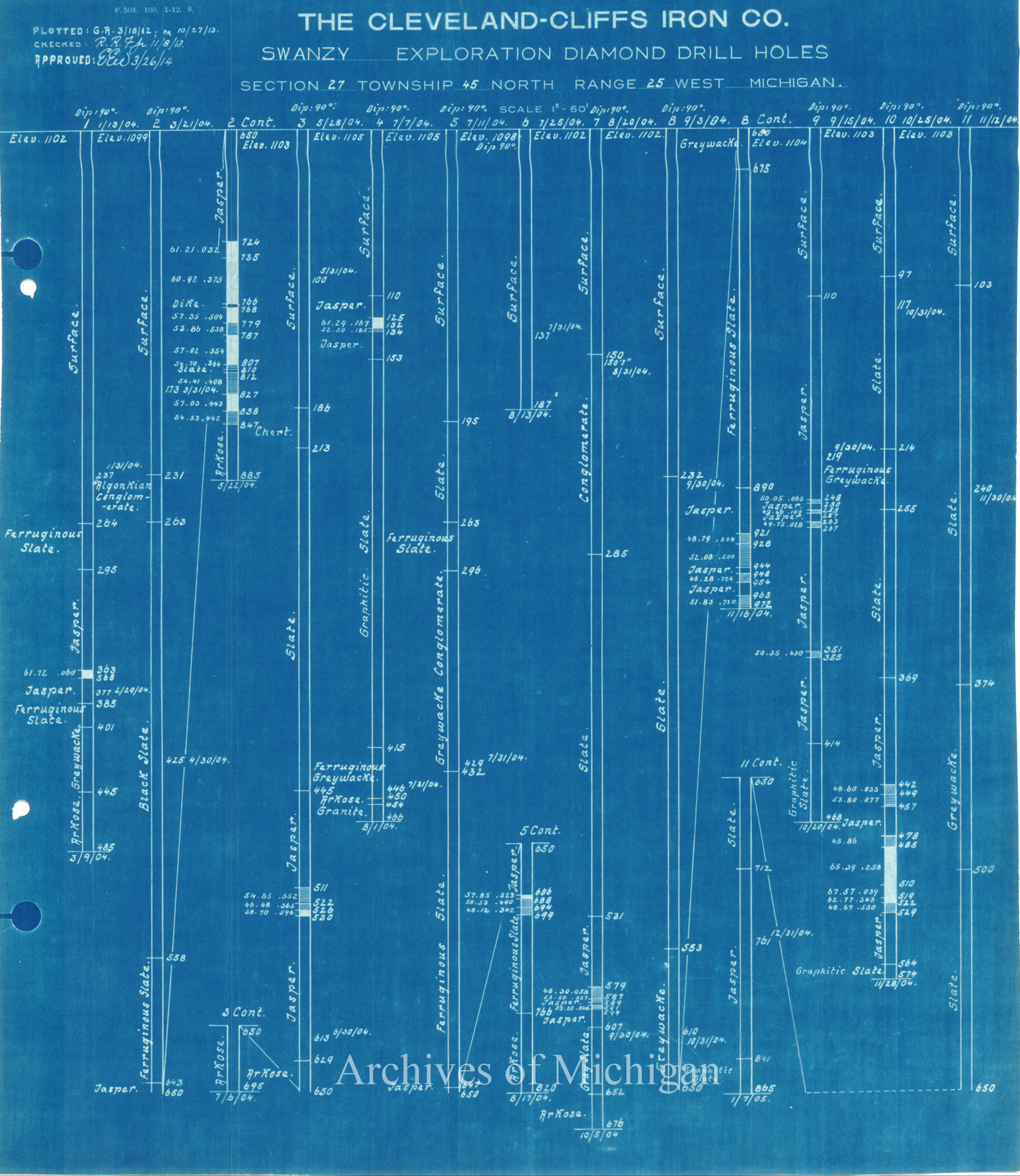
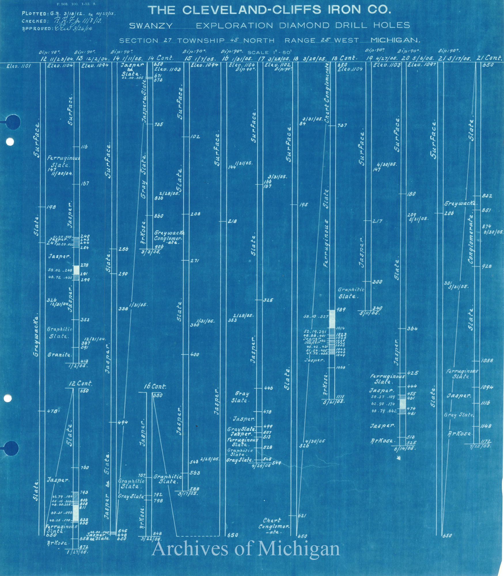
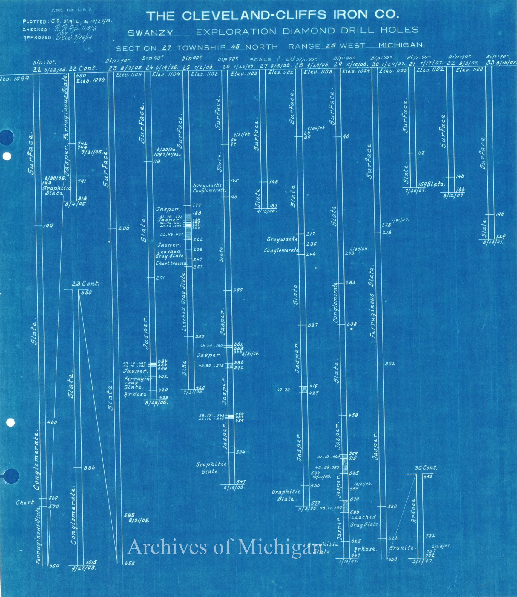
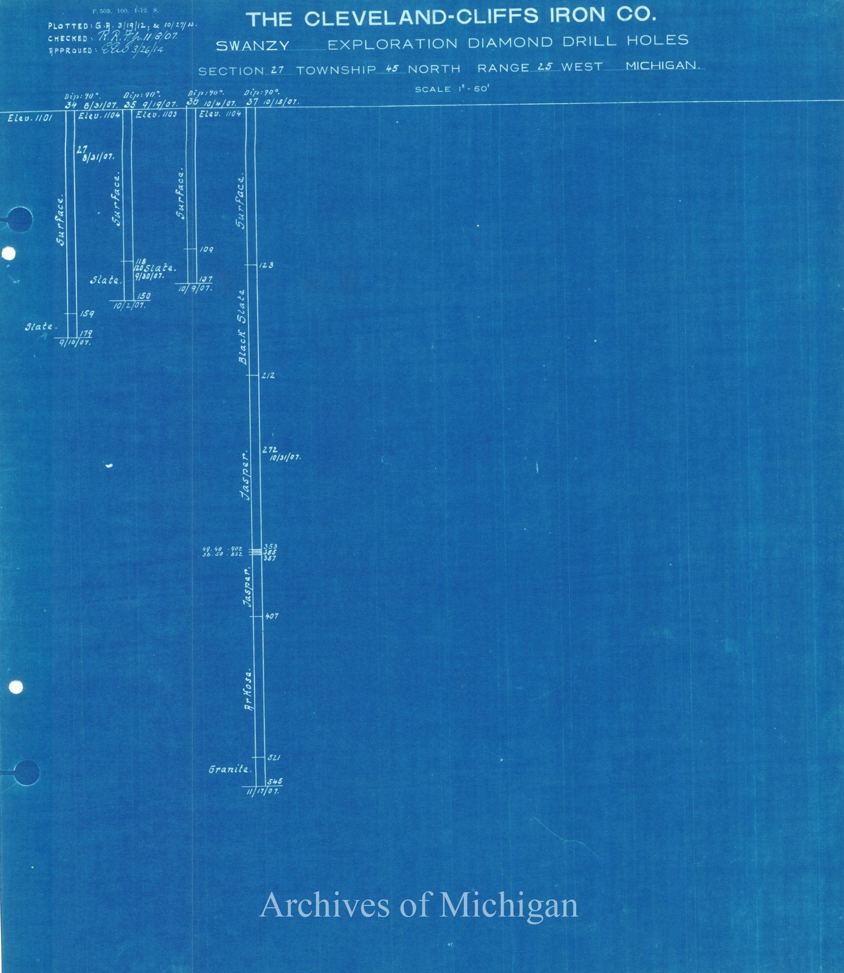
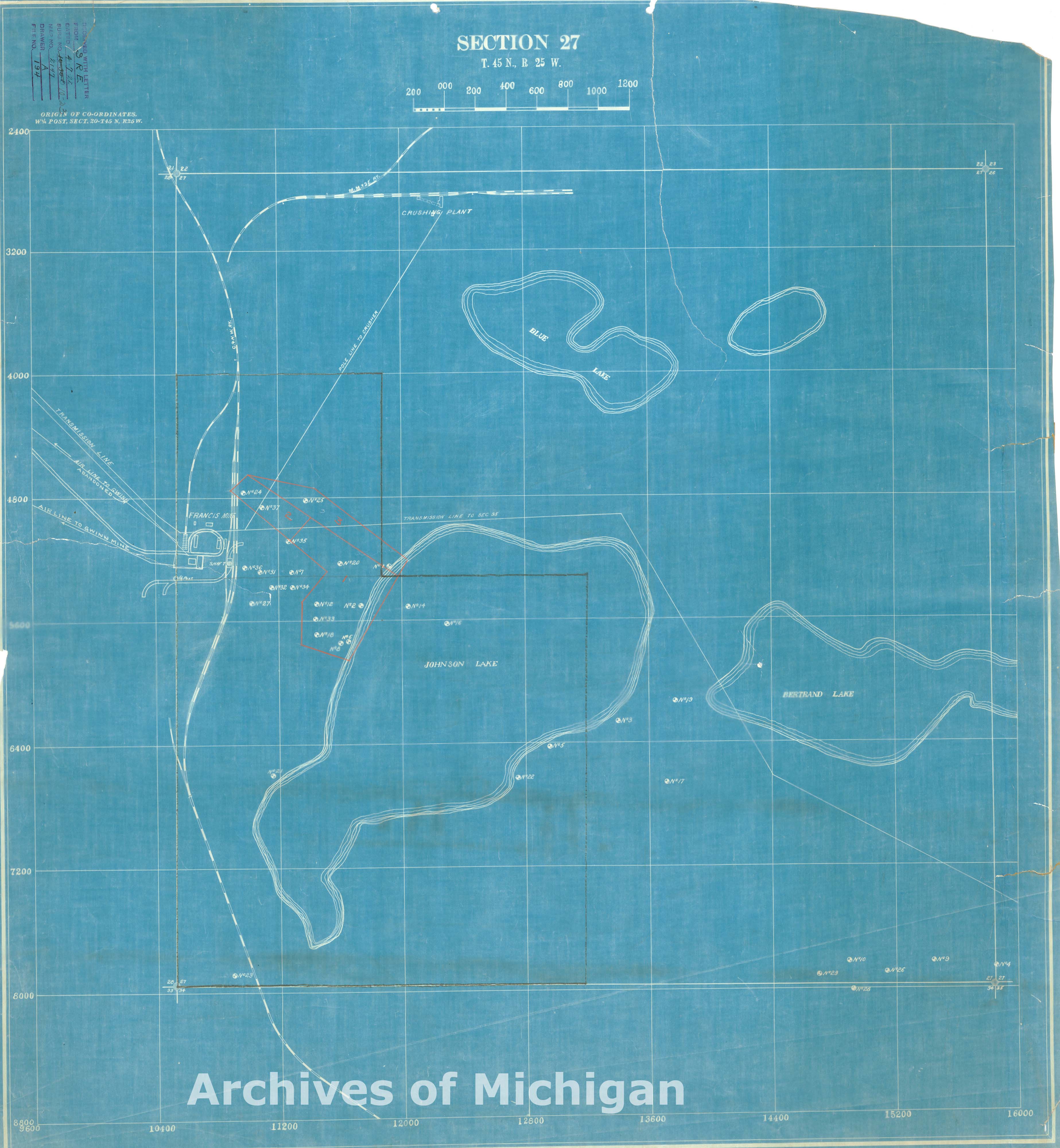
Swanzy Exploration for Francis Mine Sec.27-45-25, Forsyth Township (7 maps) 1922 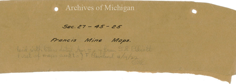
|
||||||||||||||||
|
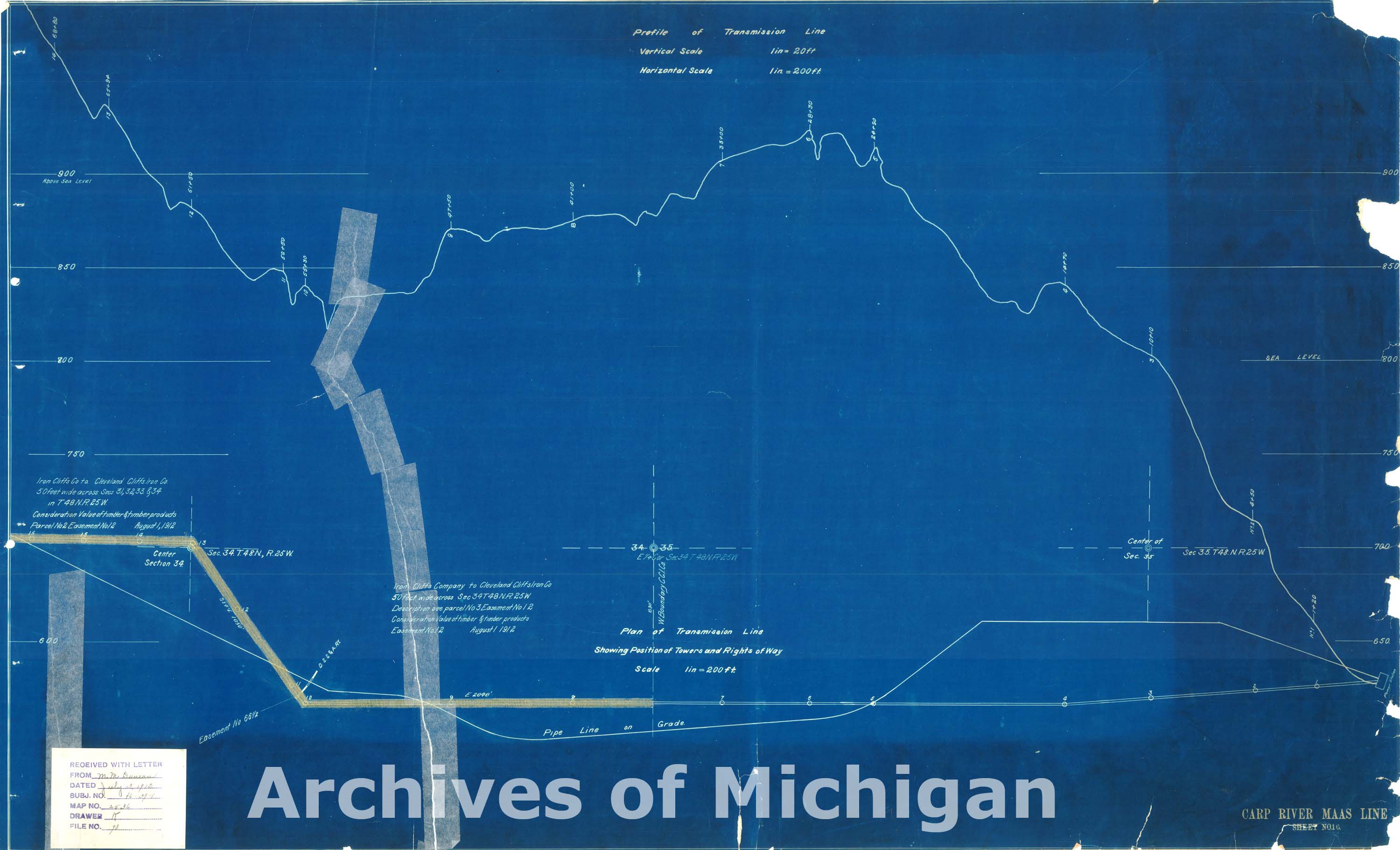
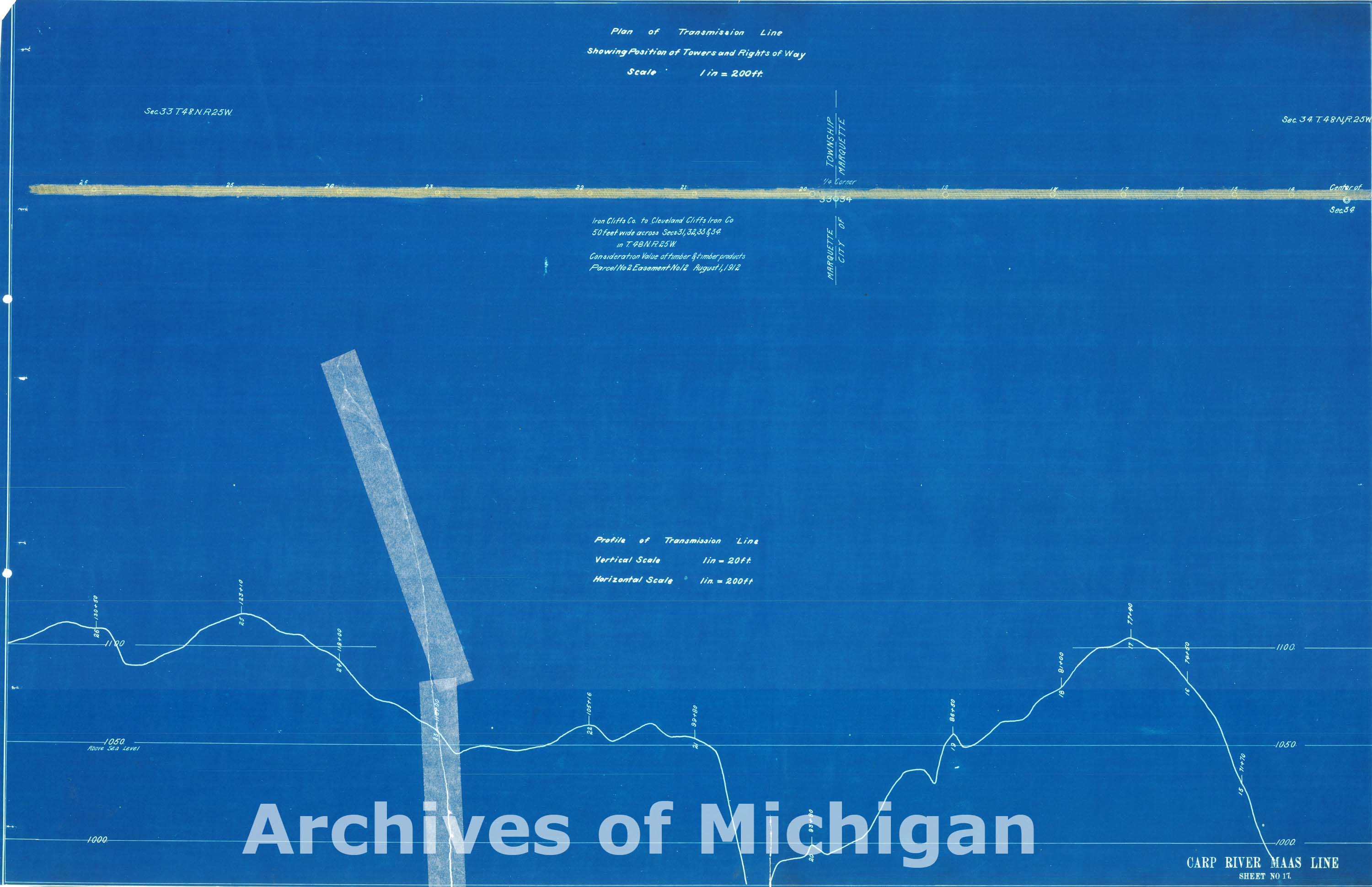
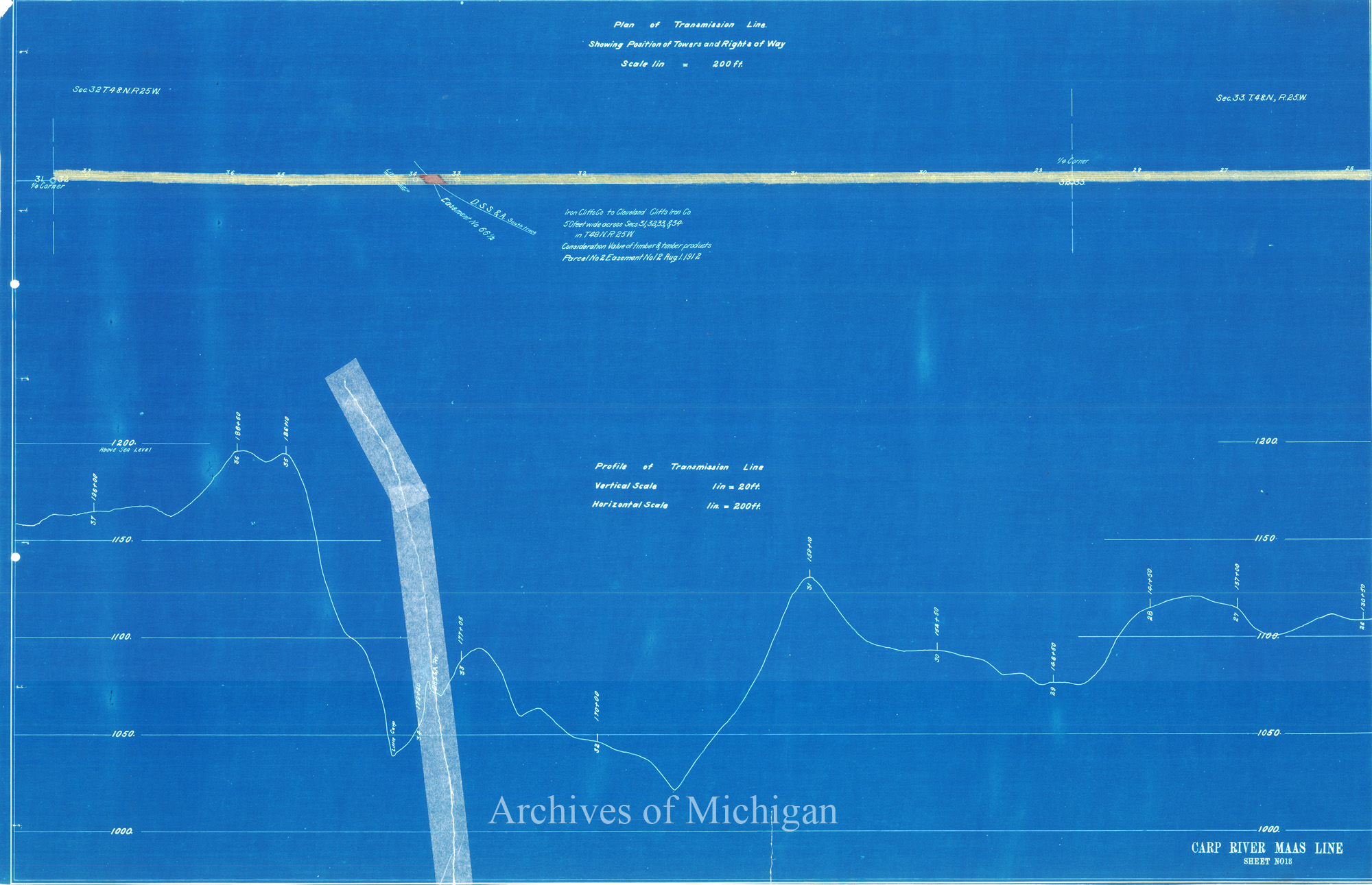
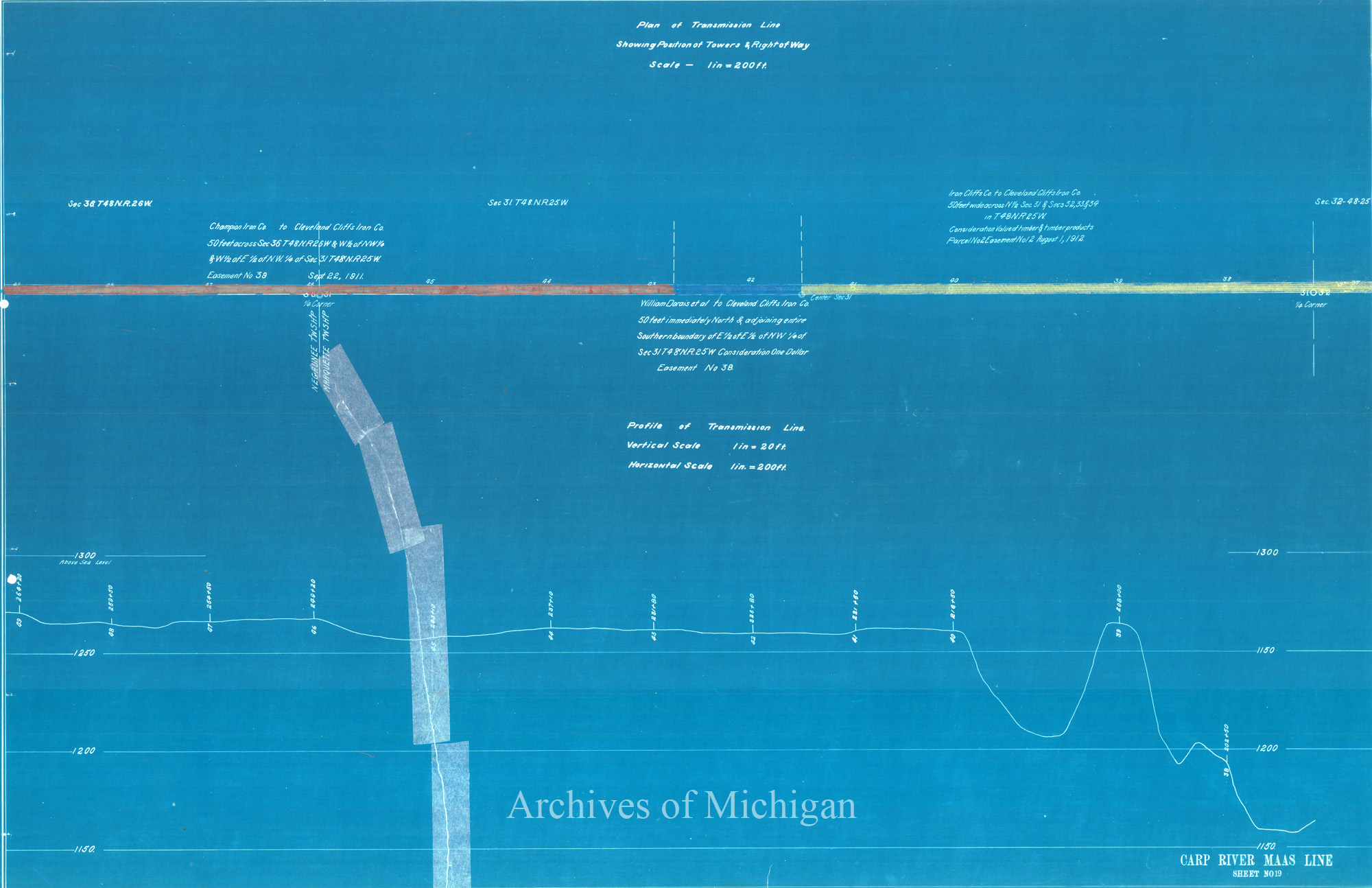
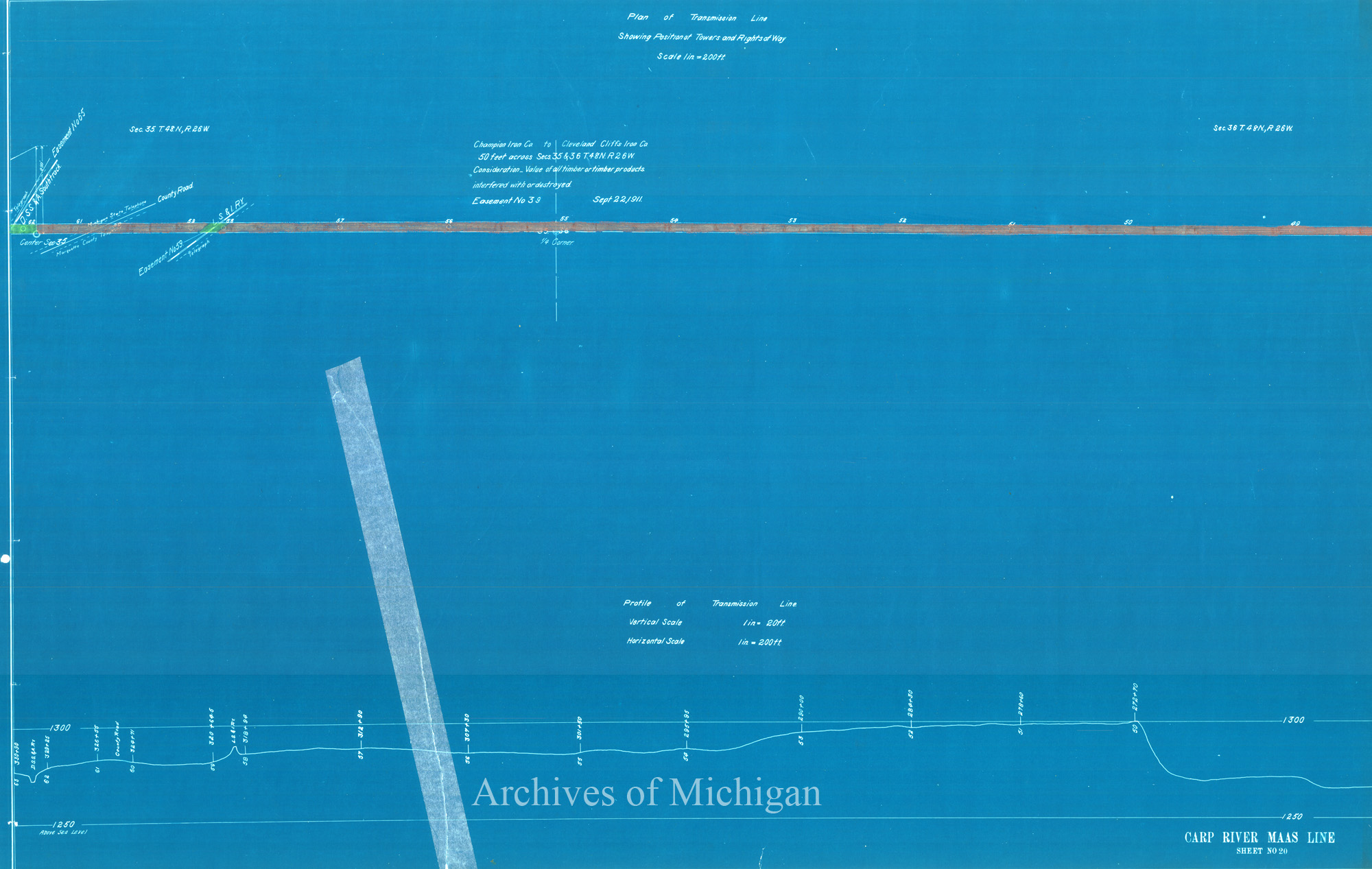
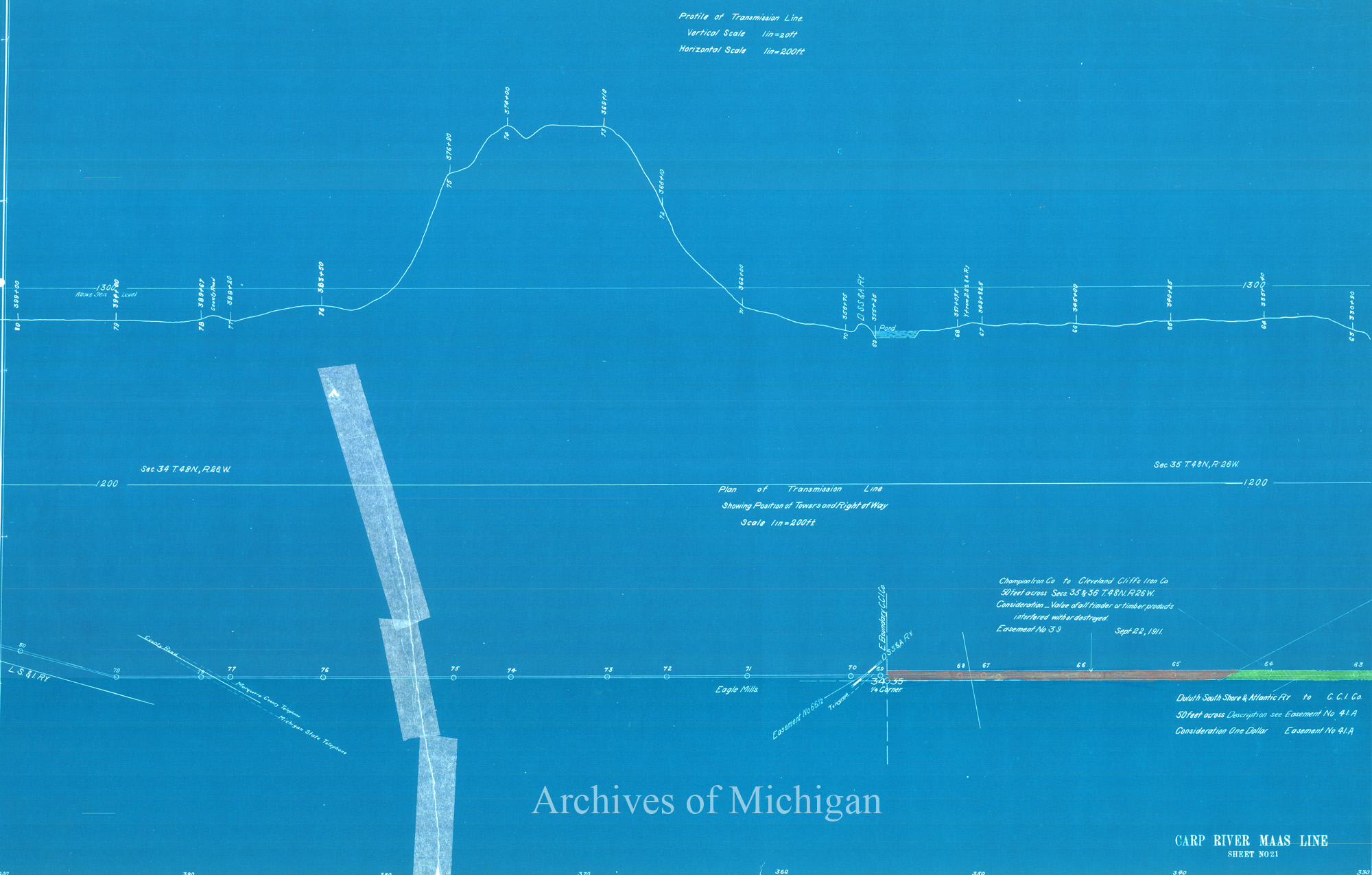
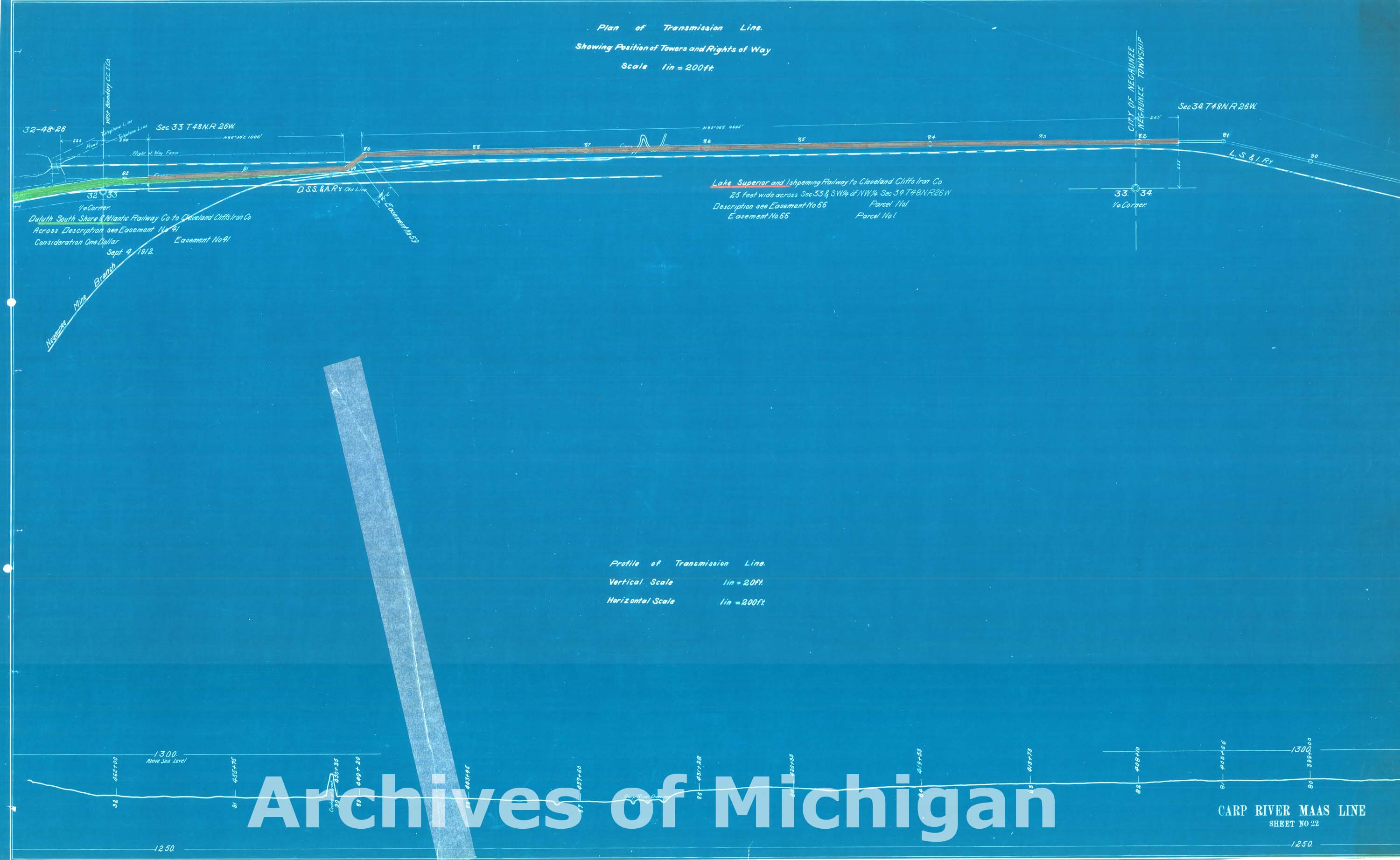
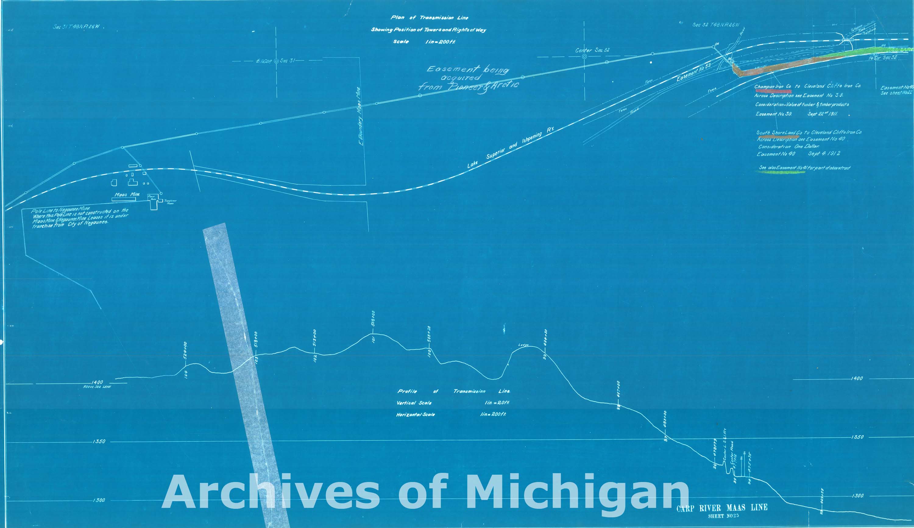
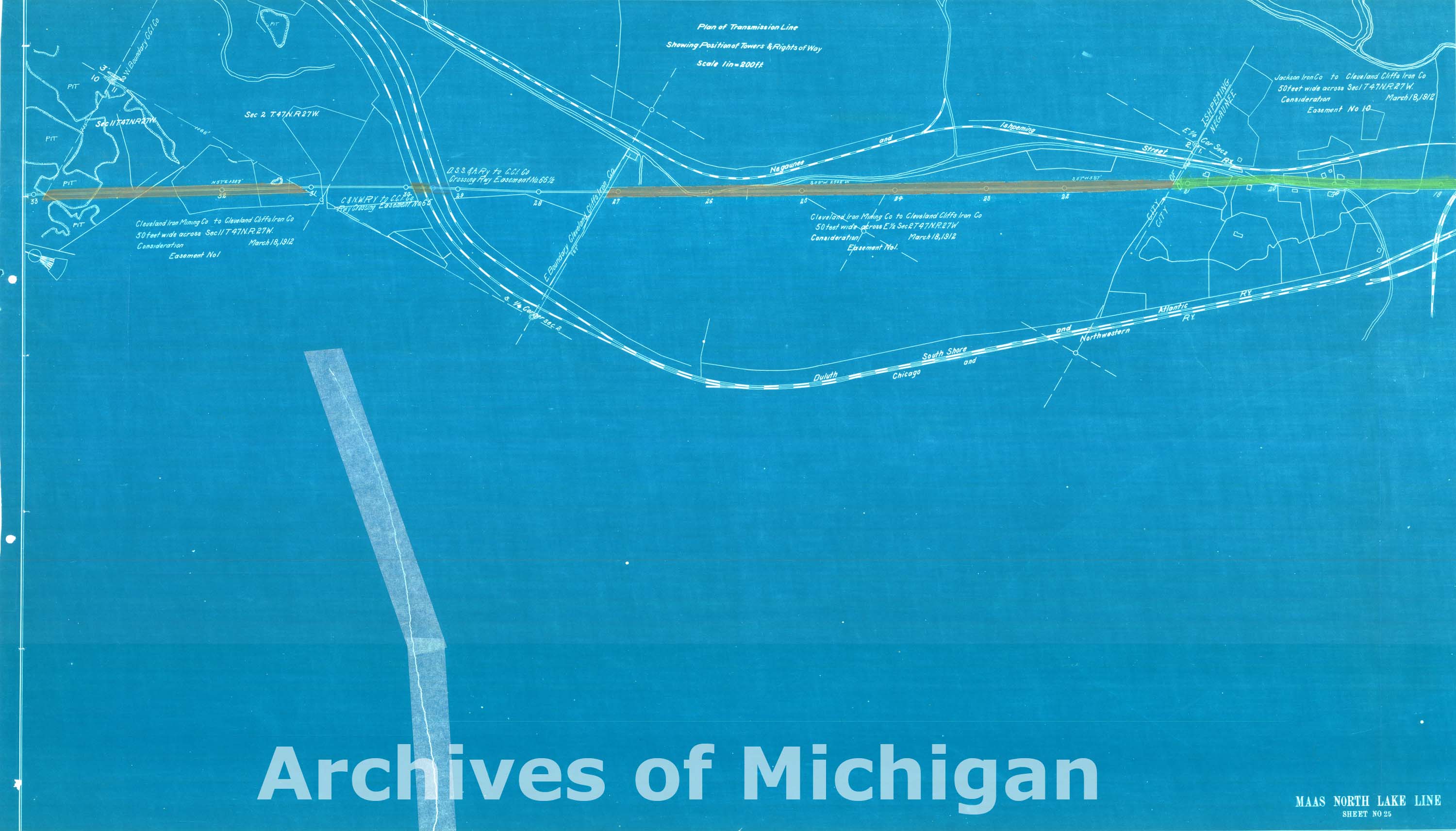
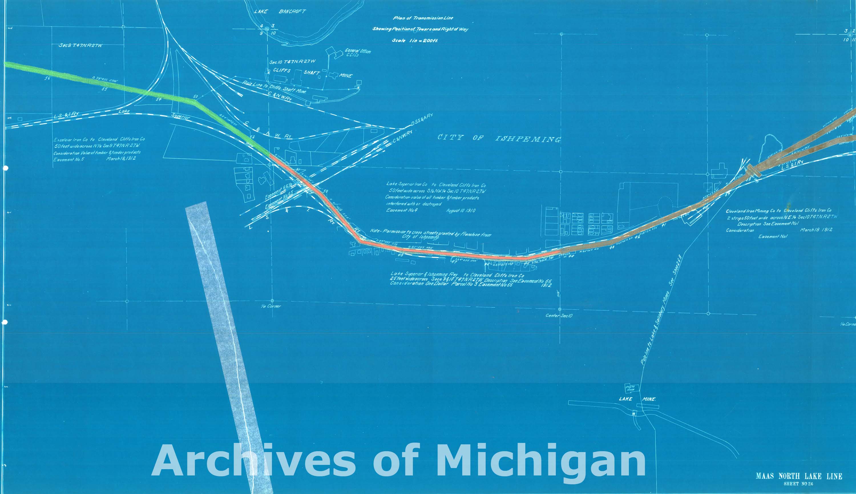
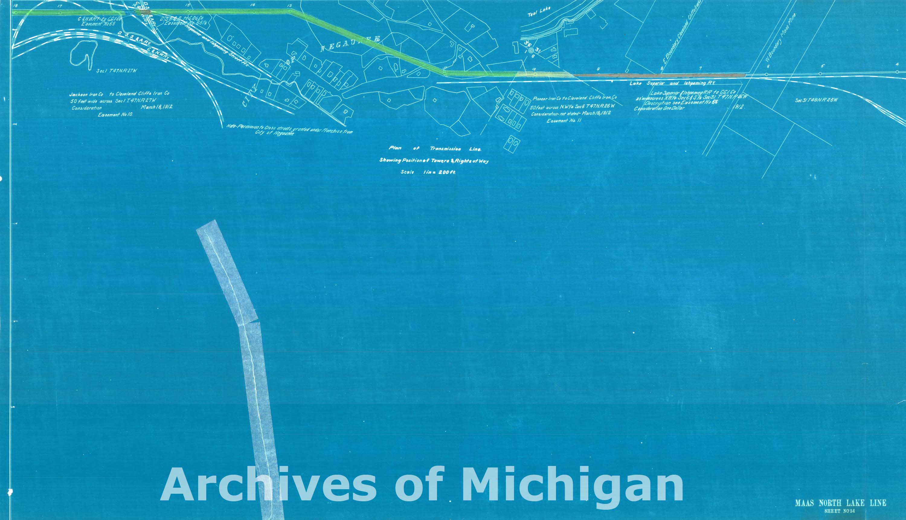
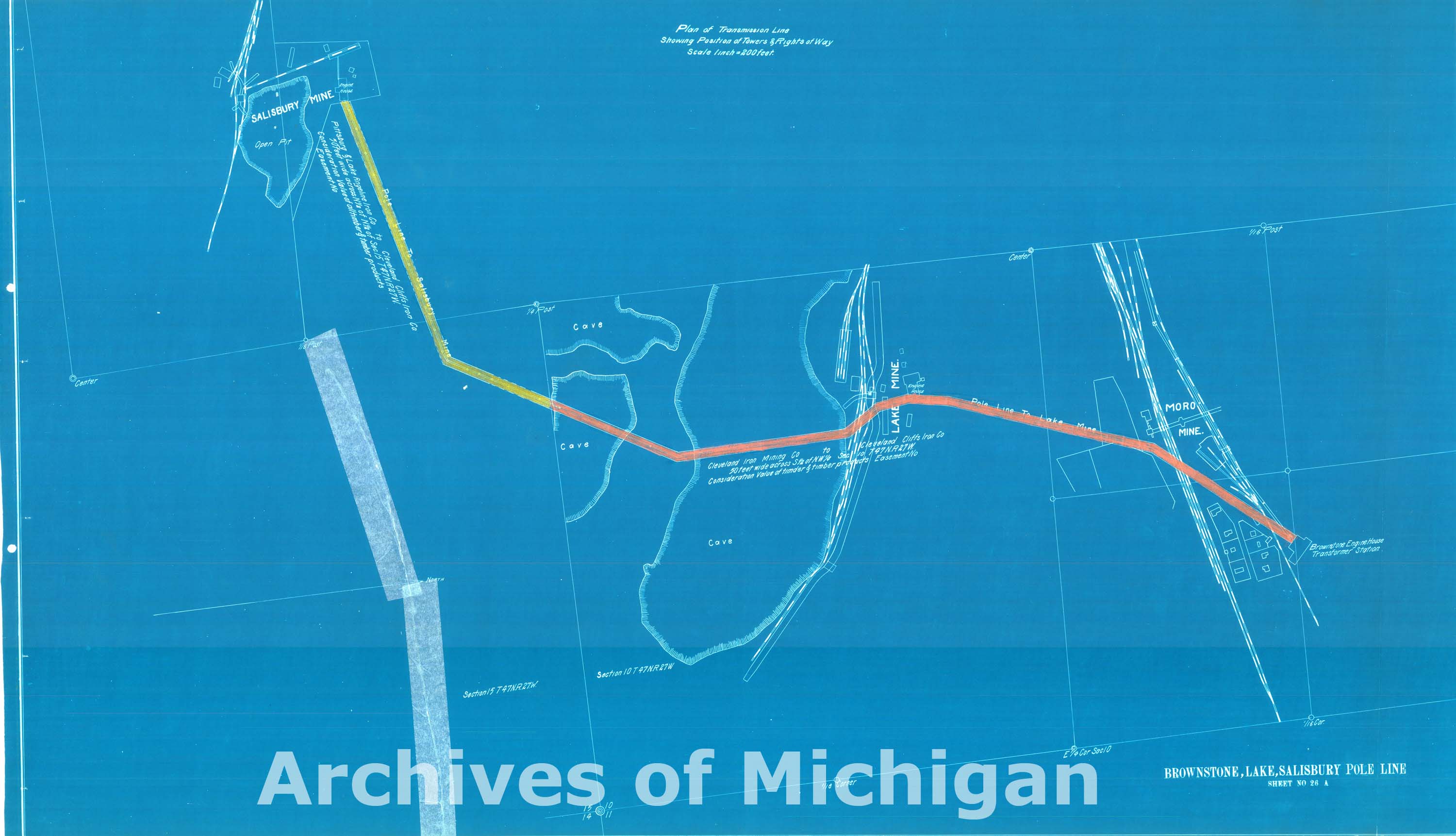
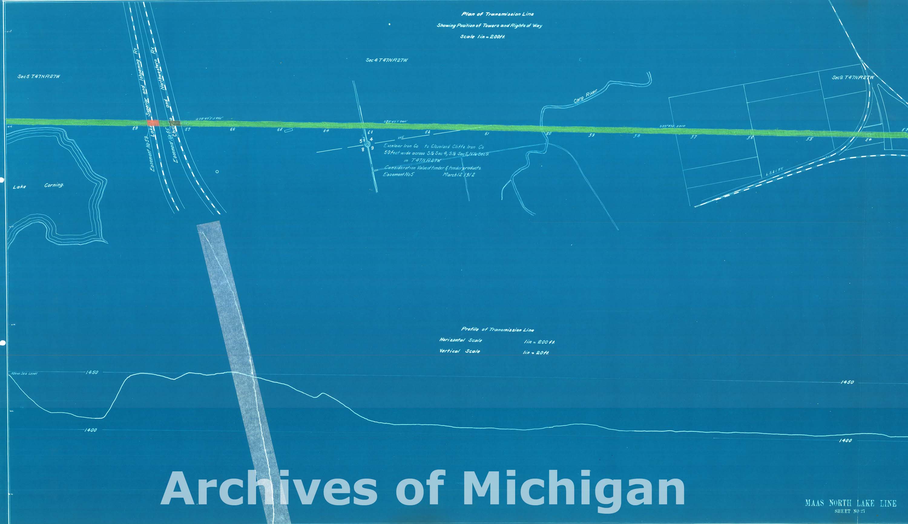
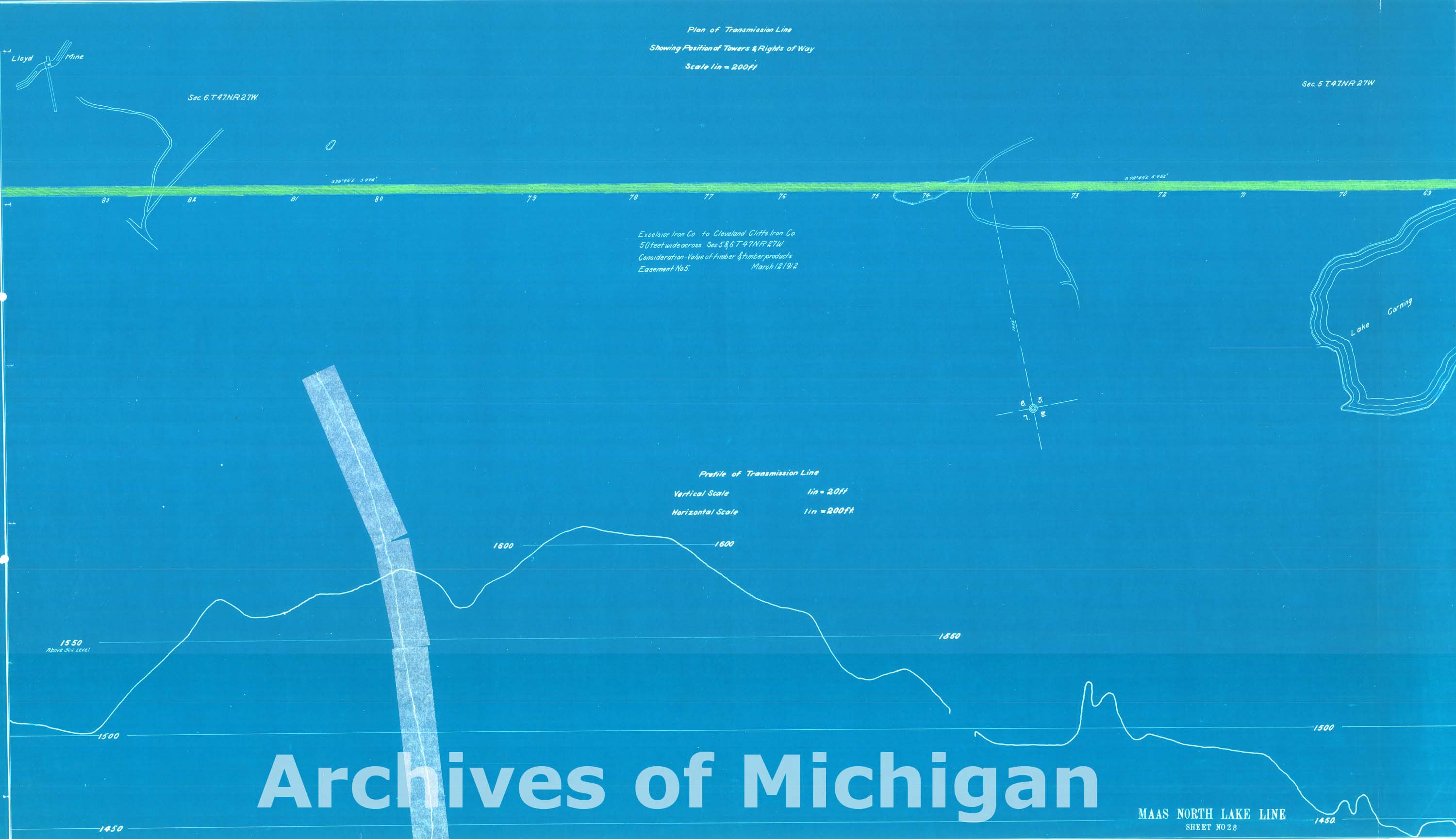
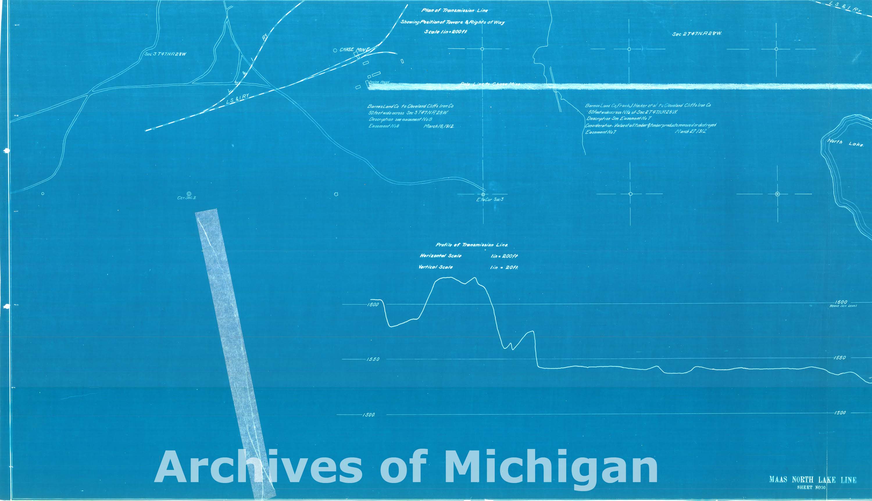
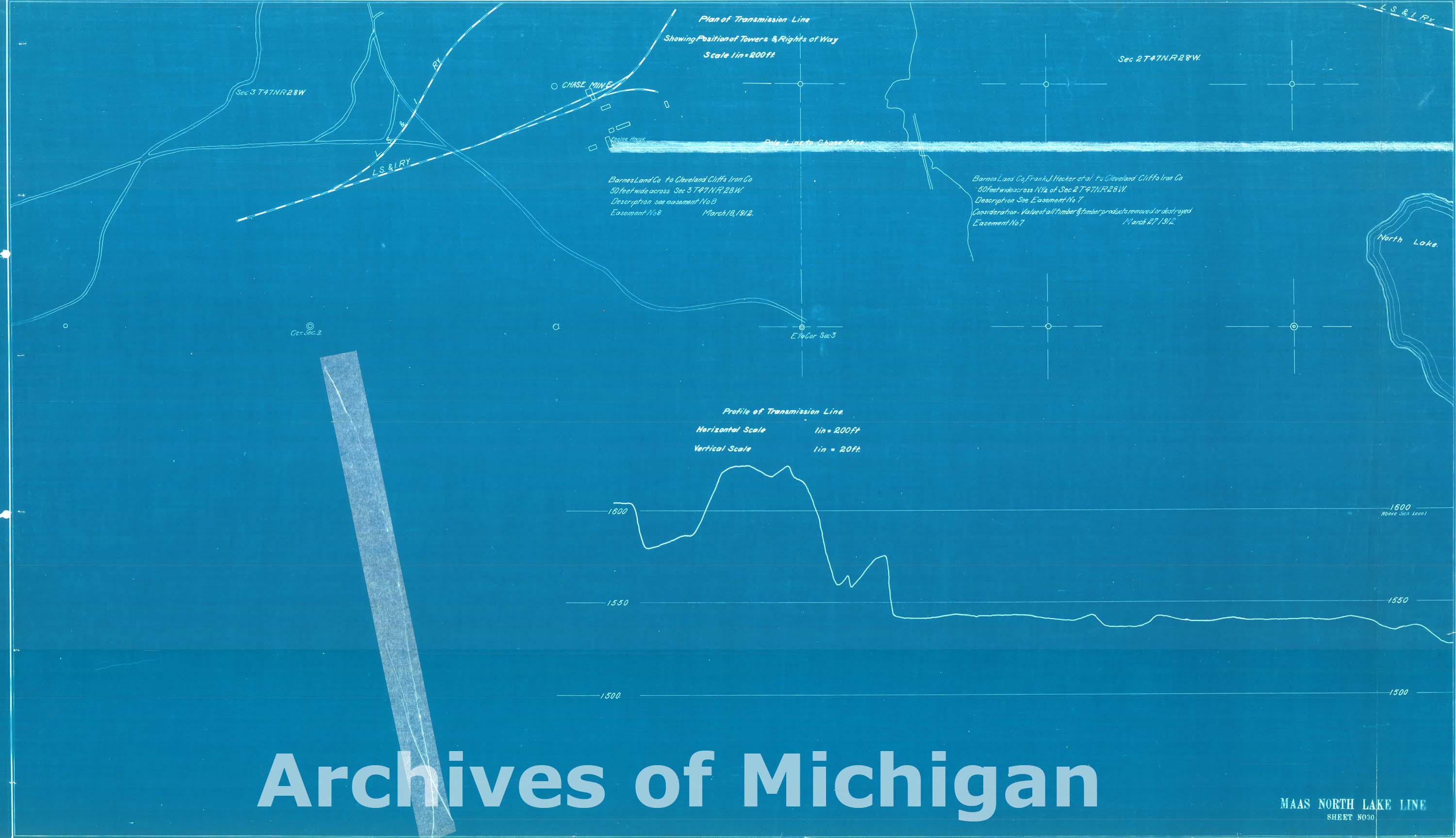
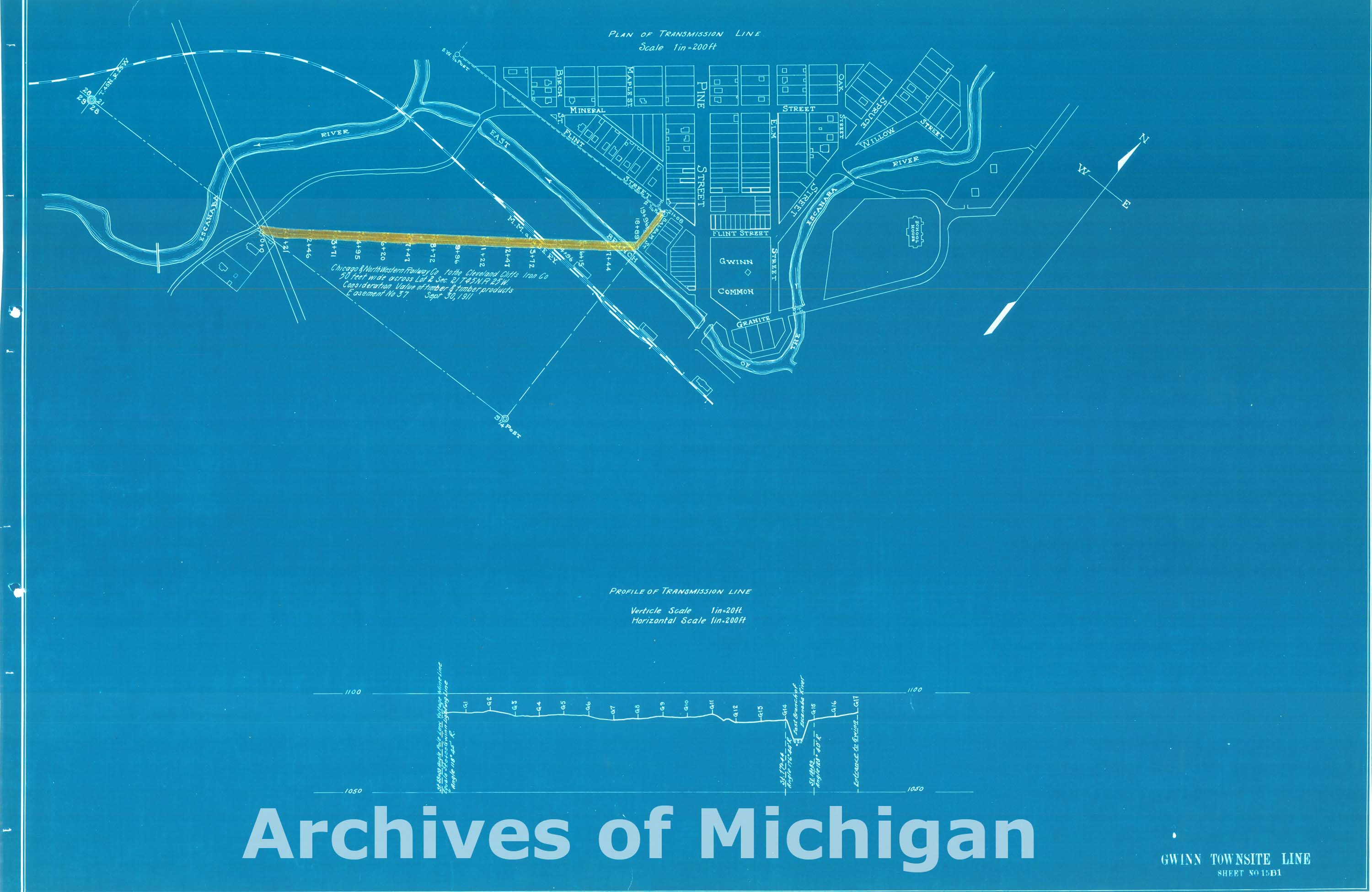
Map of Transmission Line Plans Marquette to North Lake, Marquette County (21 Maps) 1913 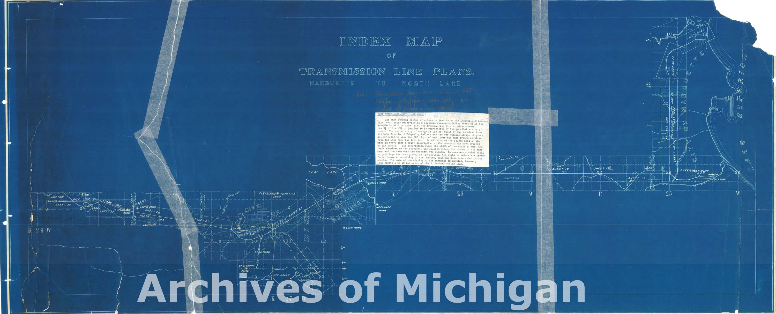
|
||||||||||||||||
|
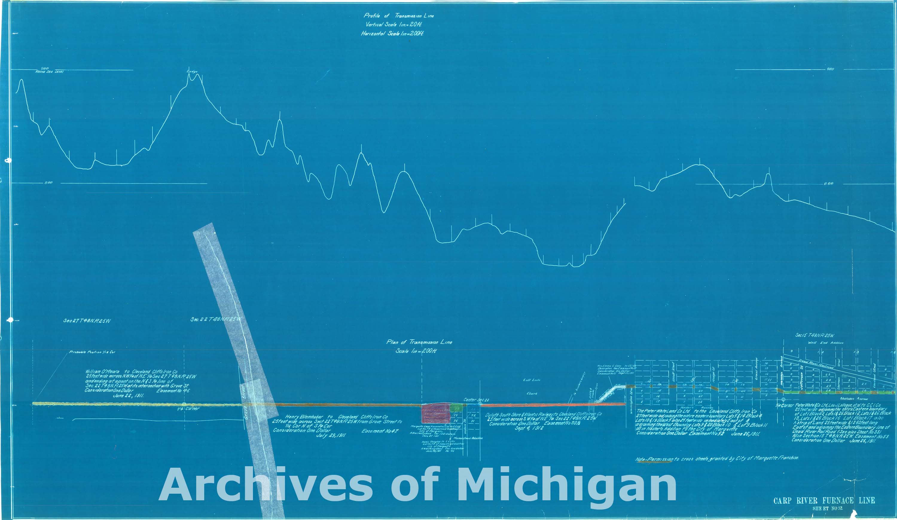
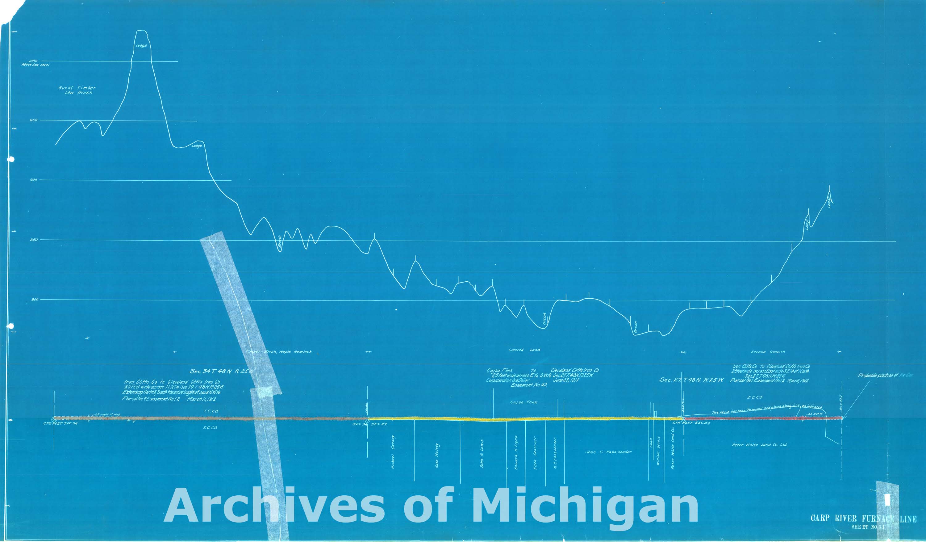
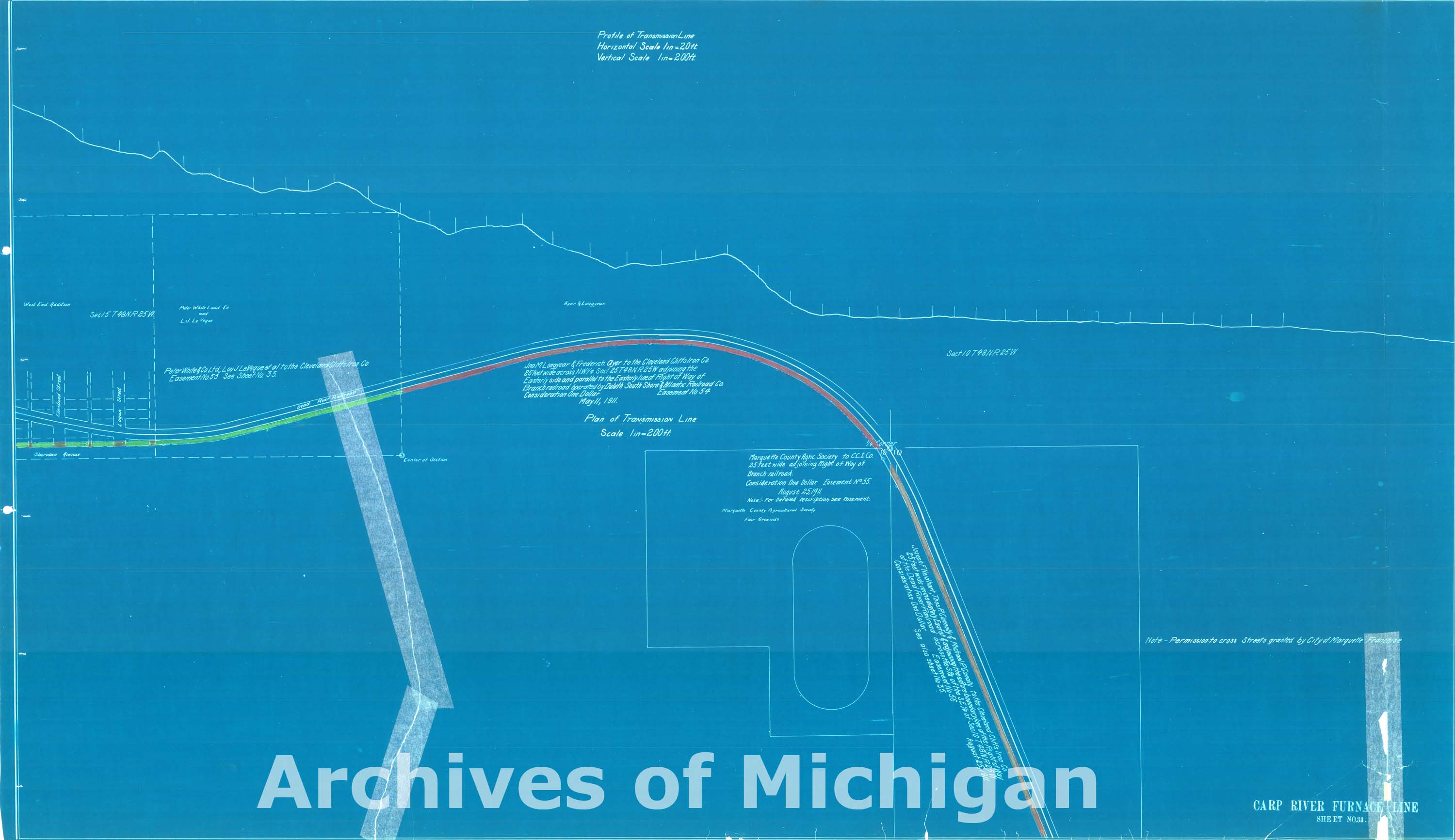
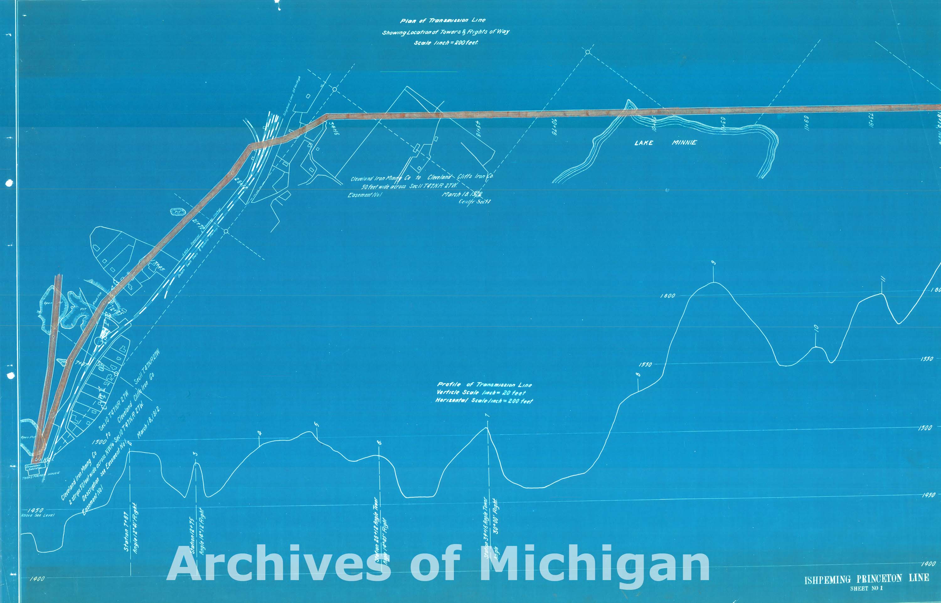
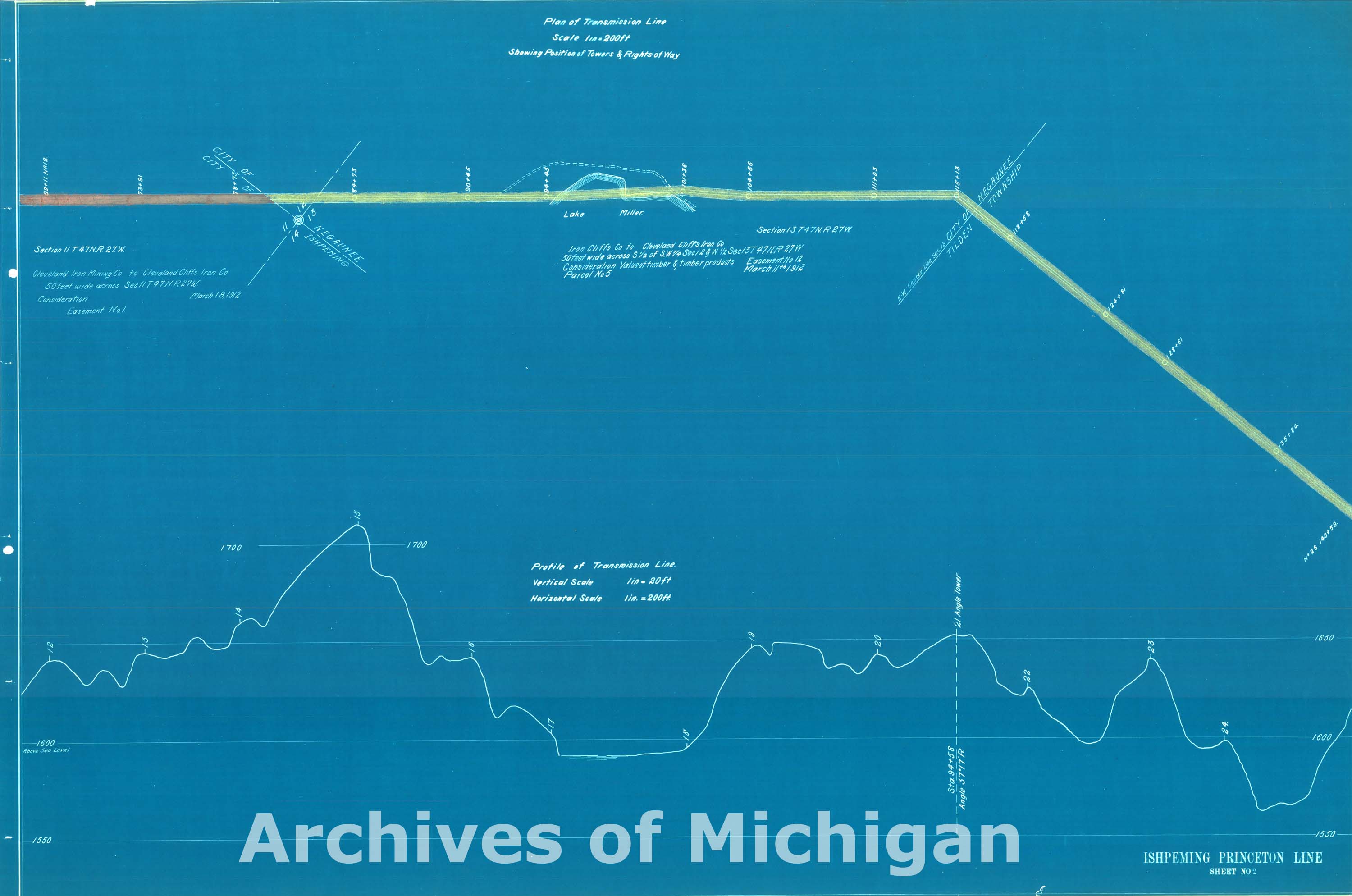
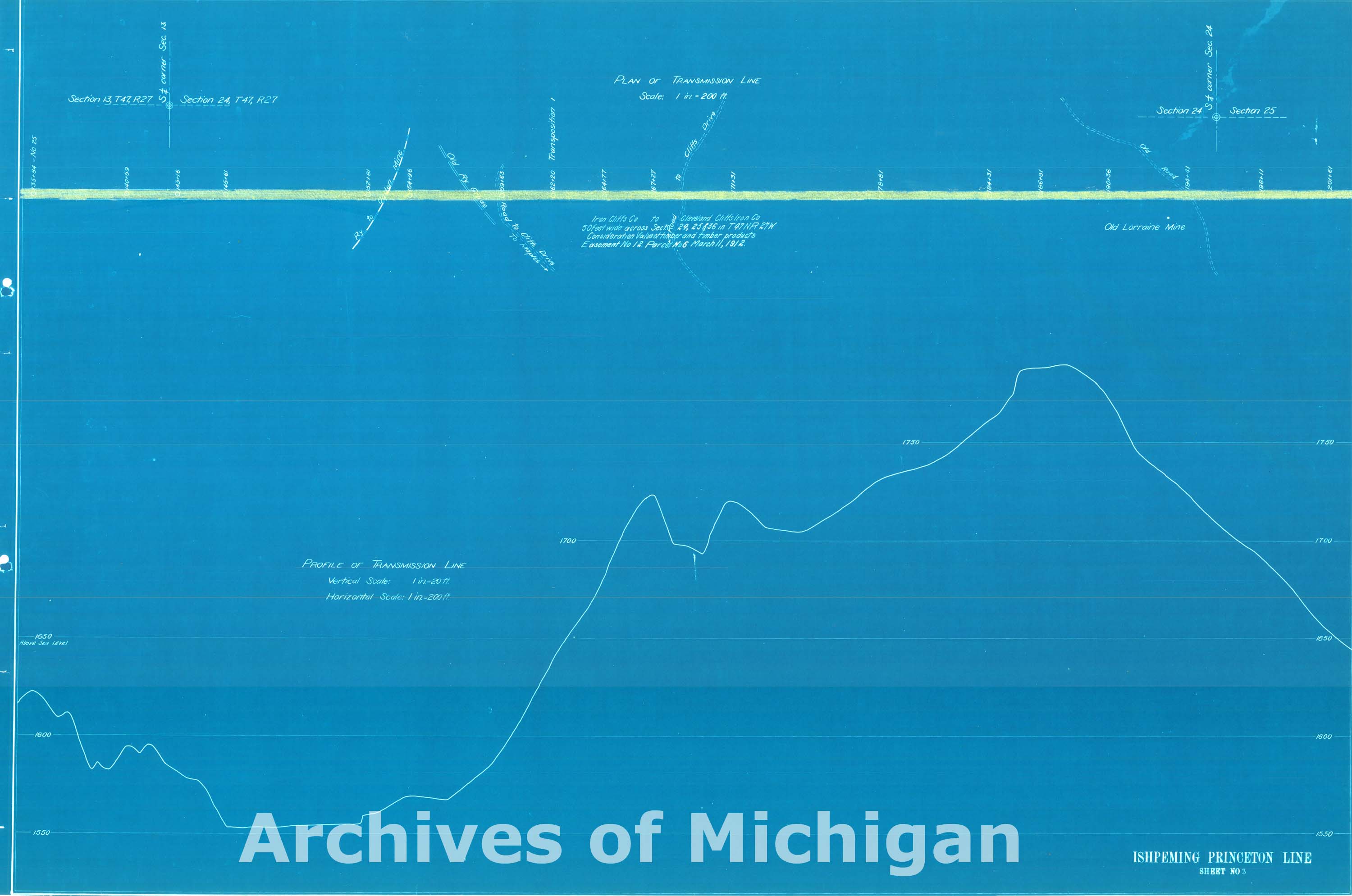
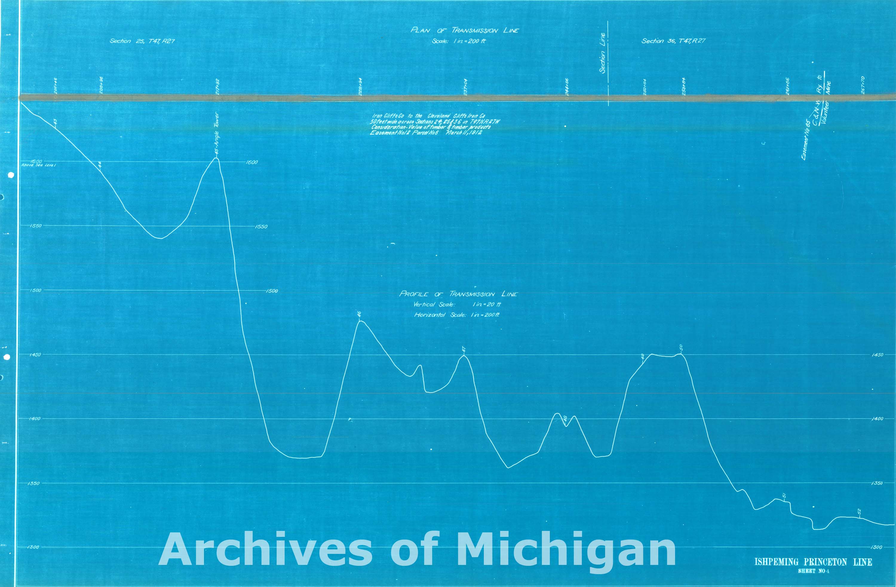
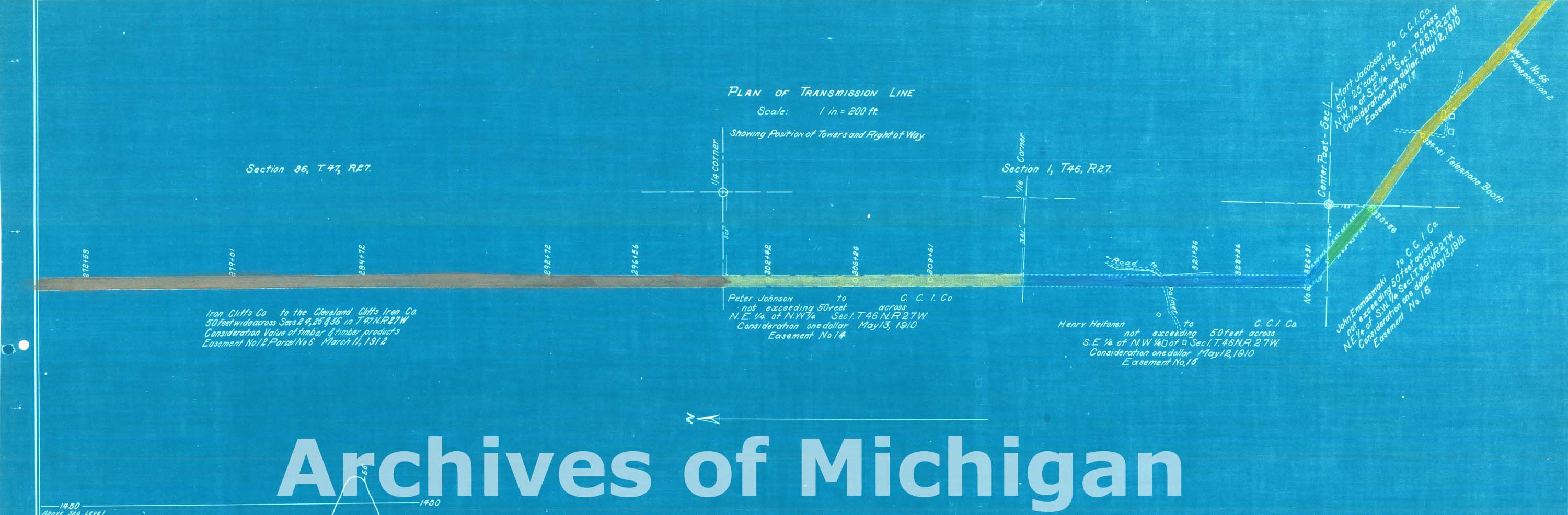
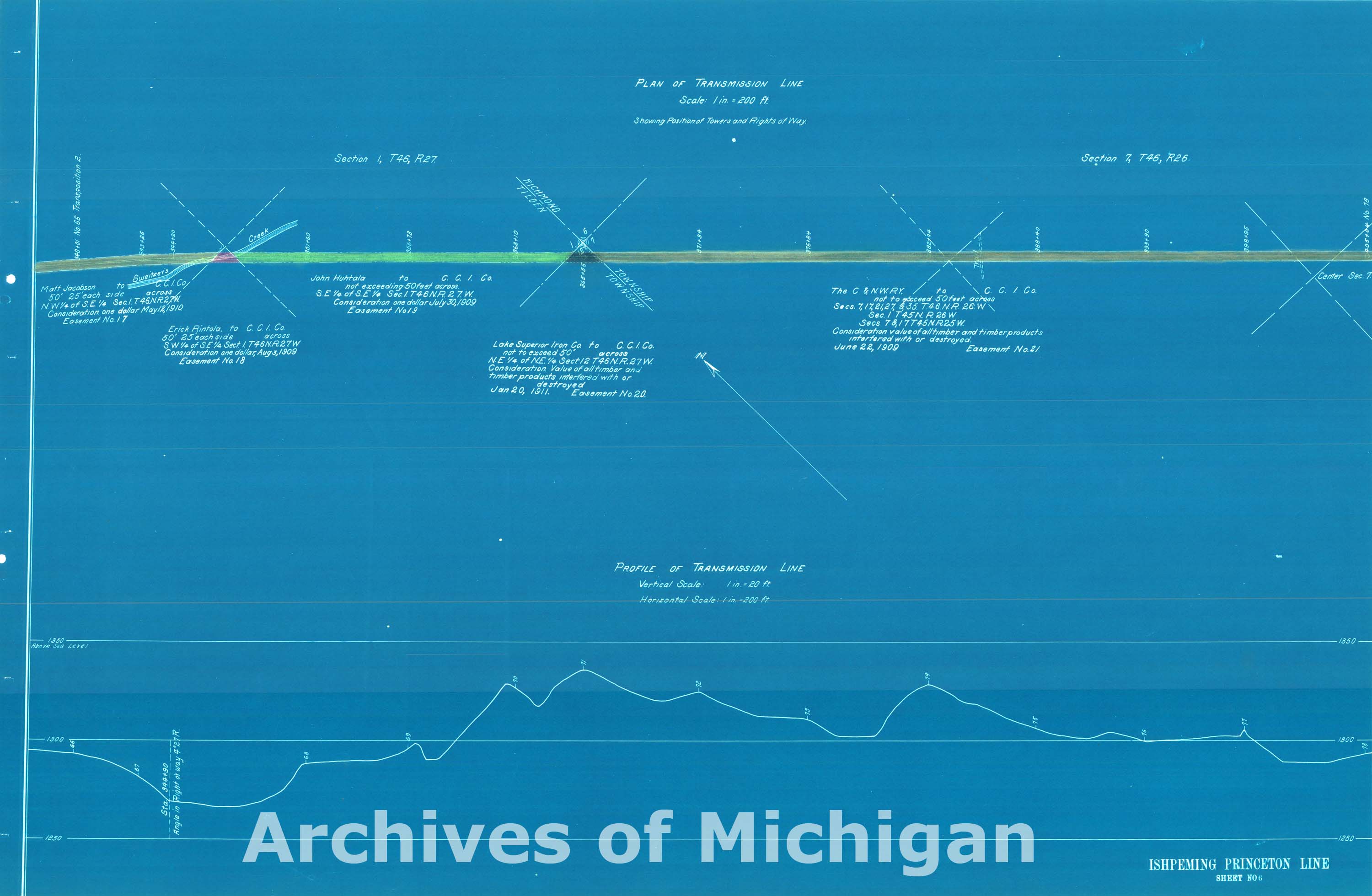
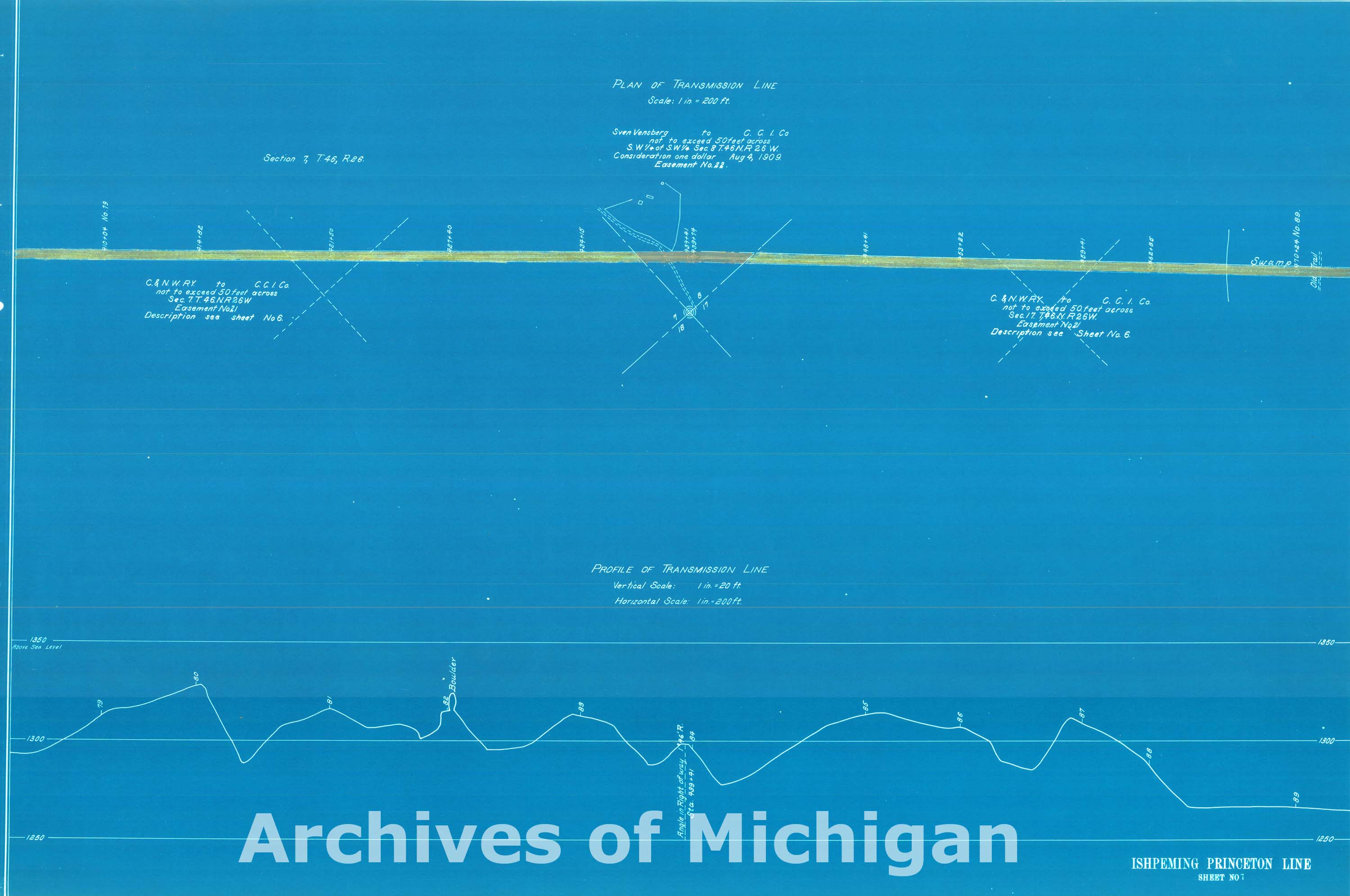
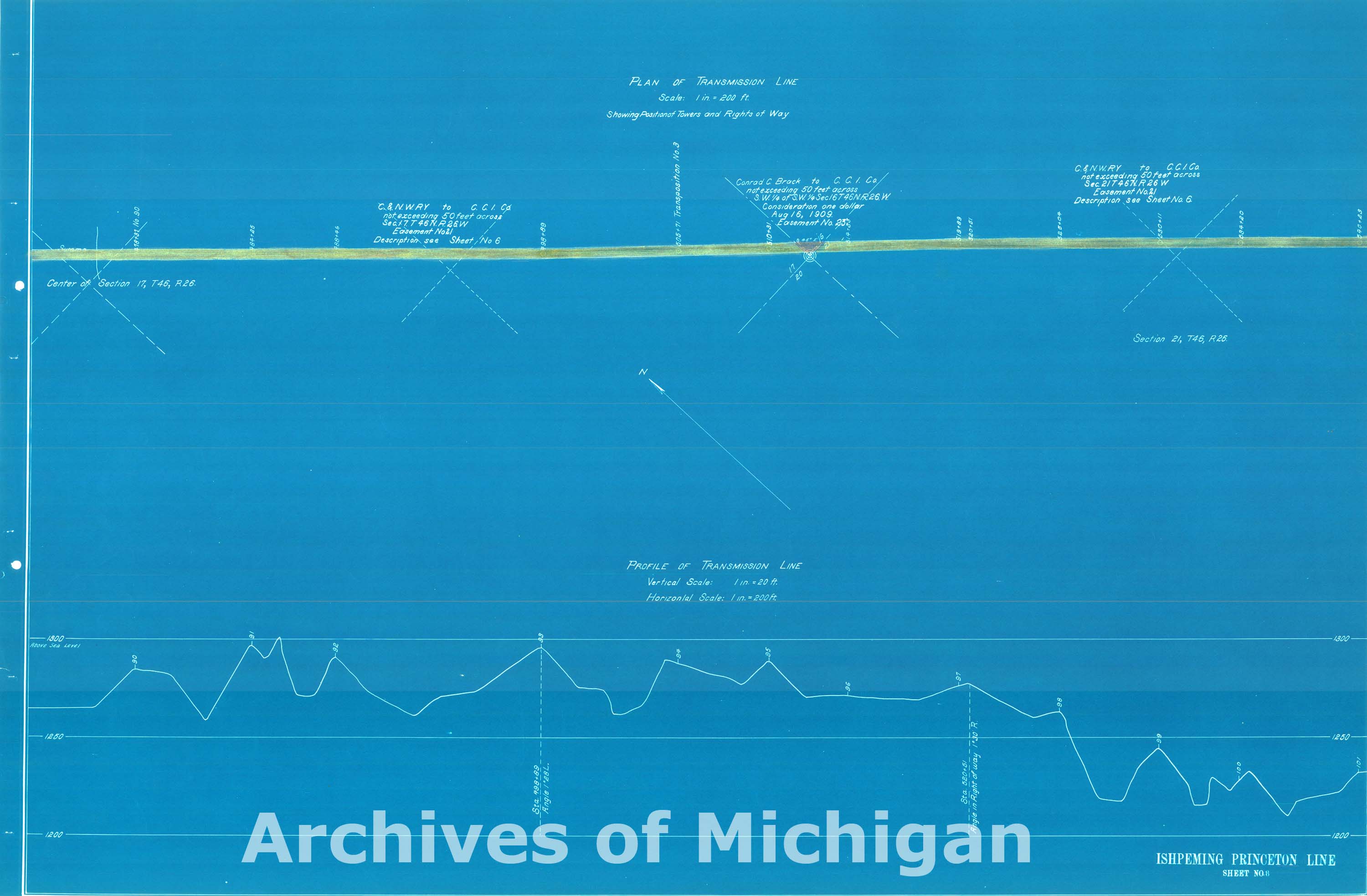
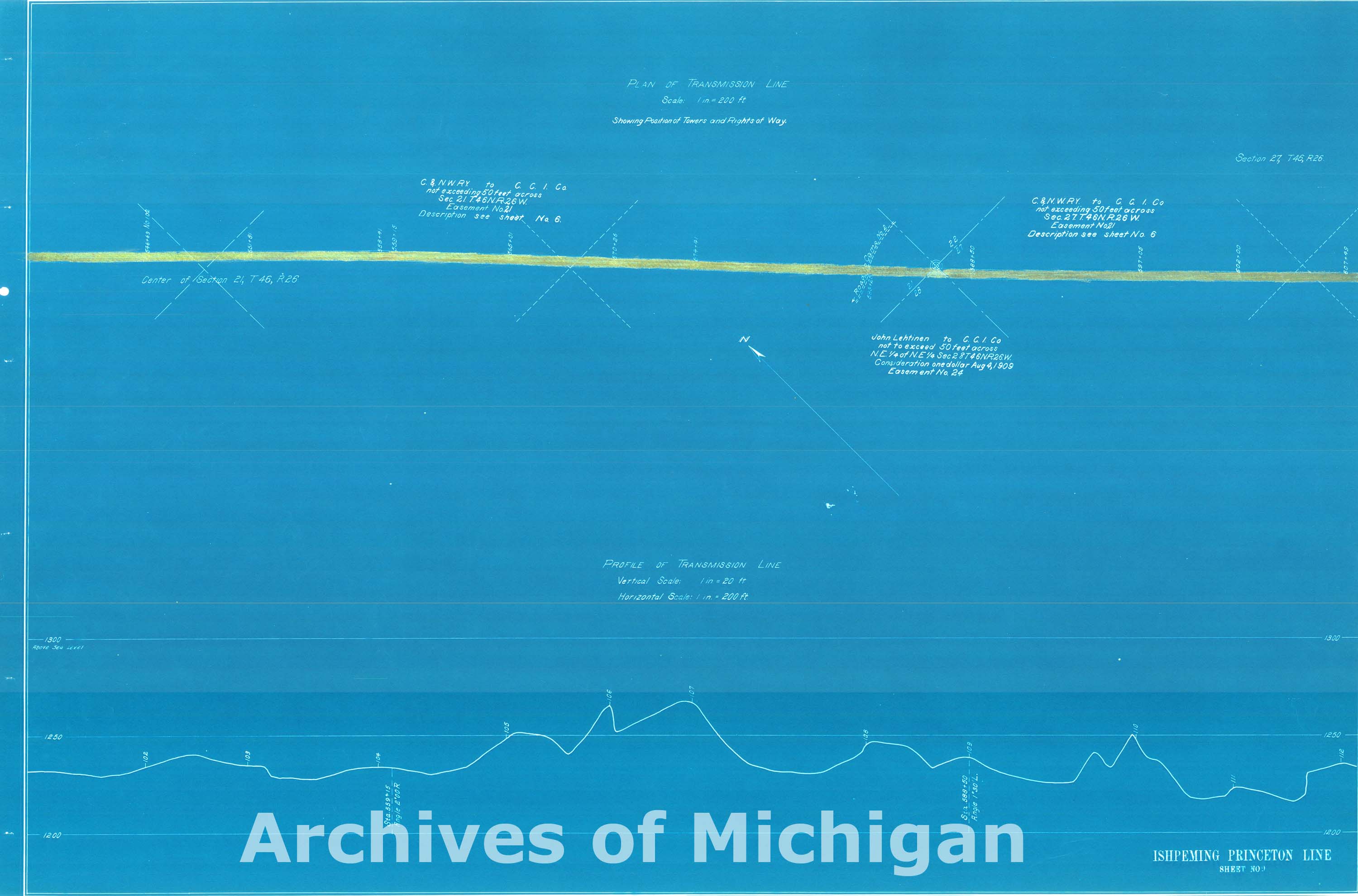
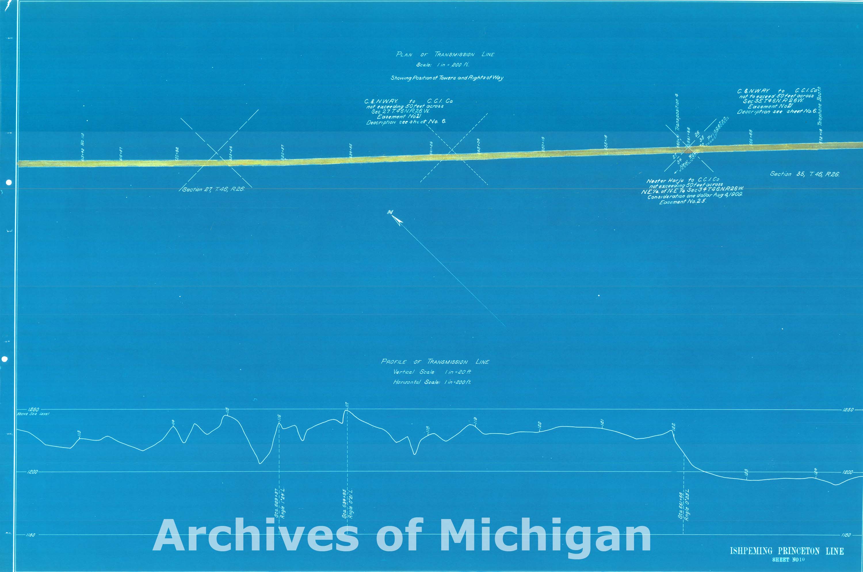
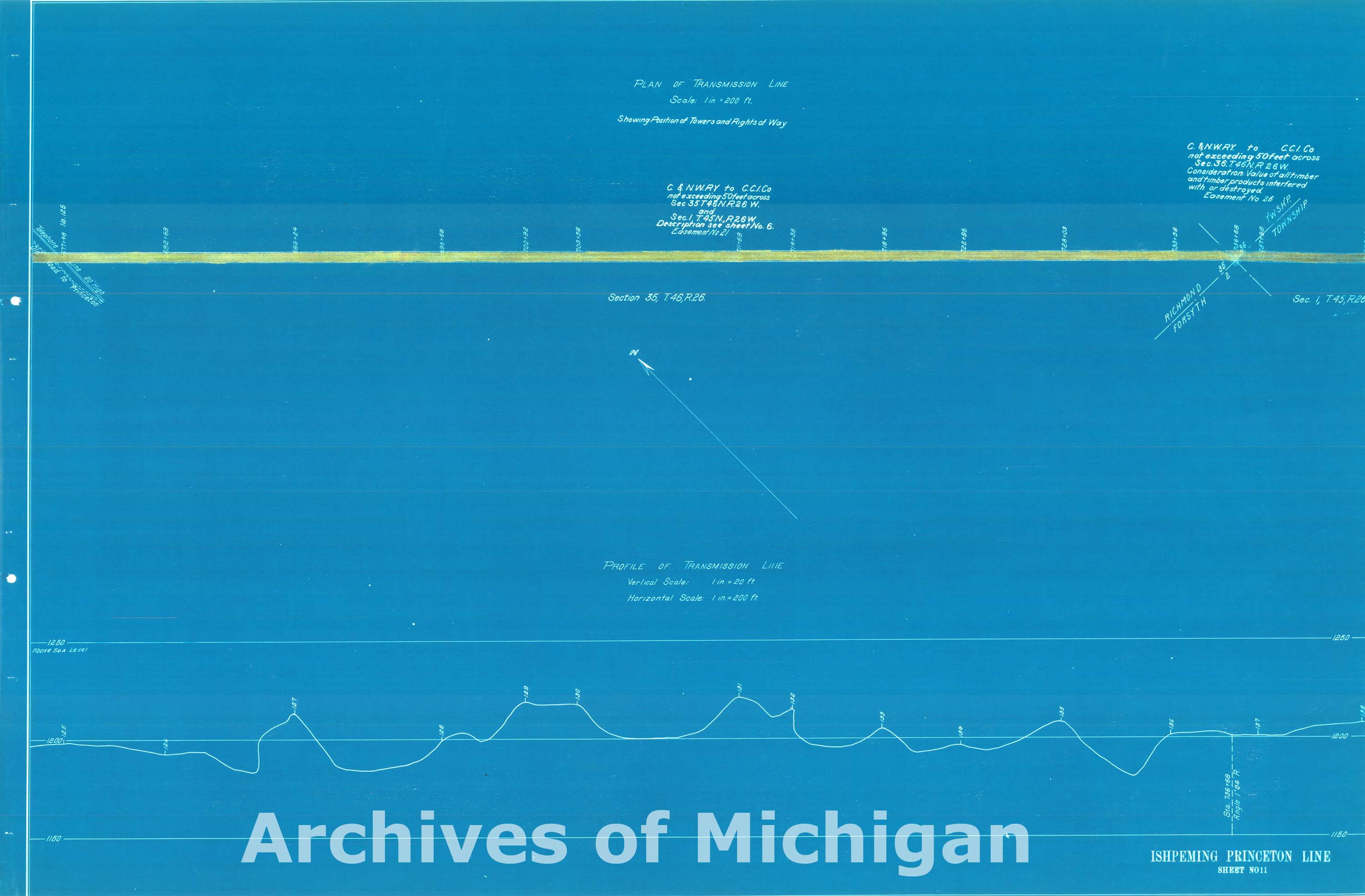
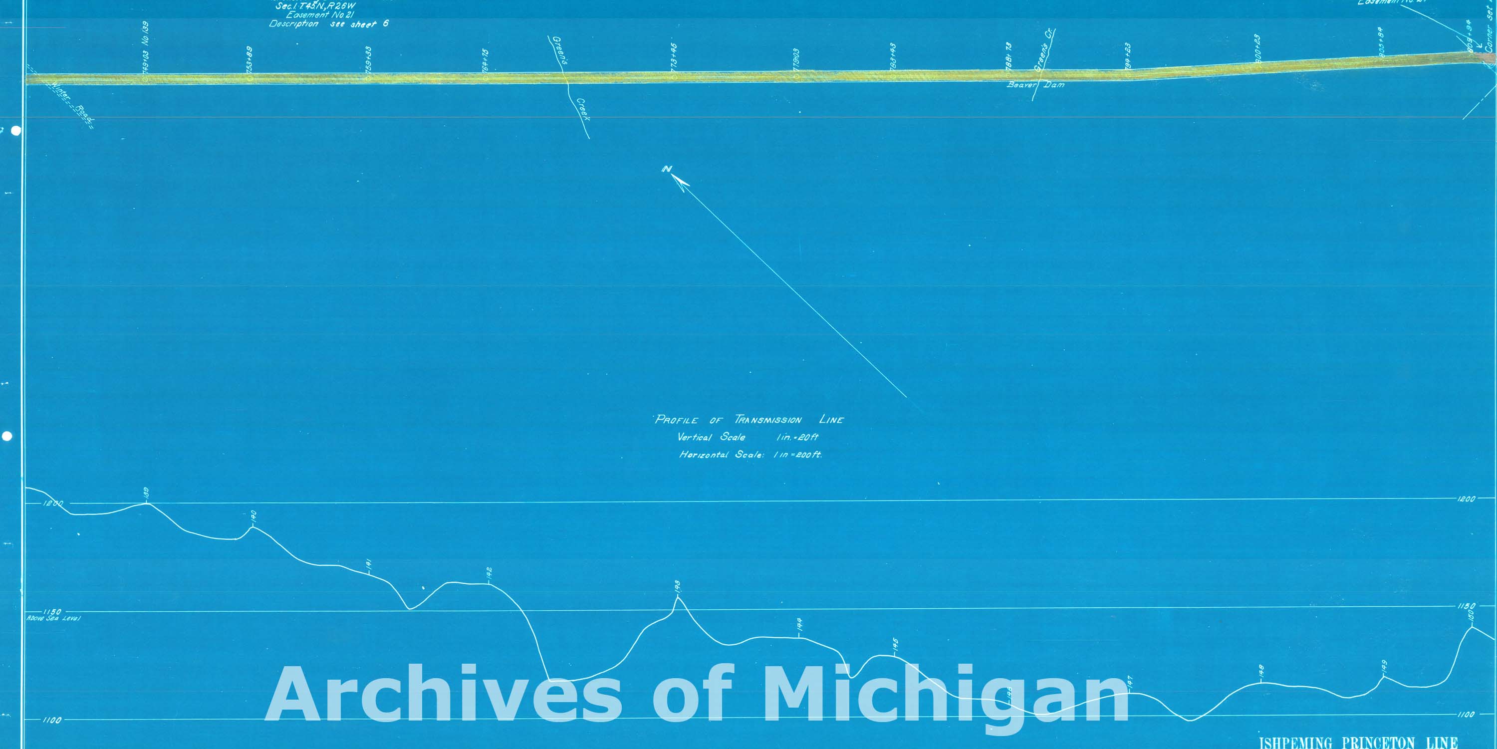
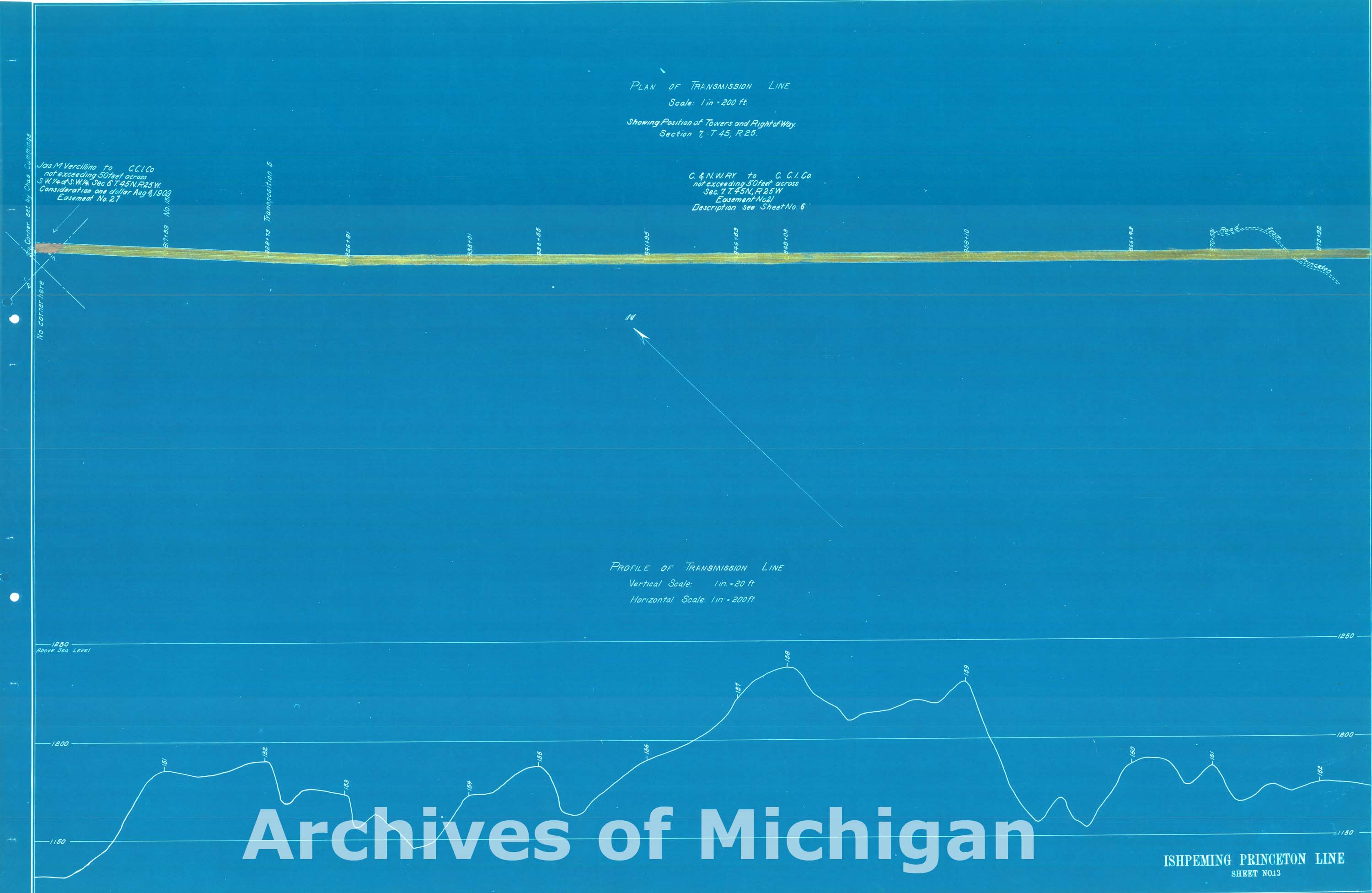
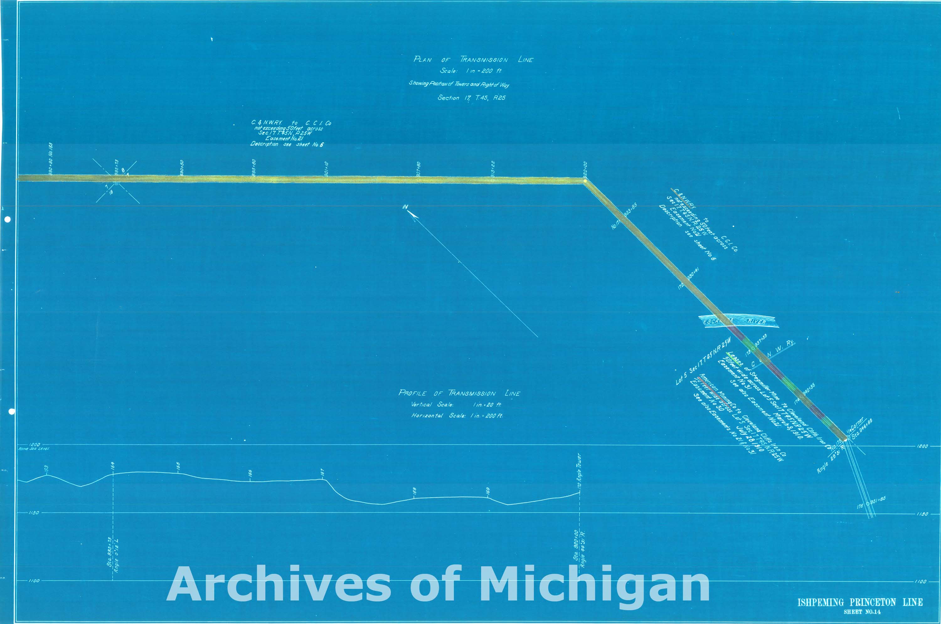
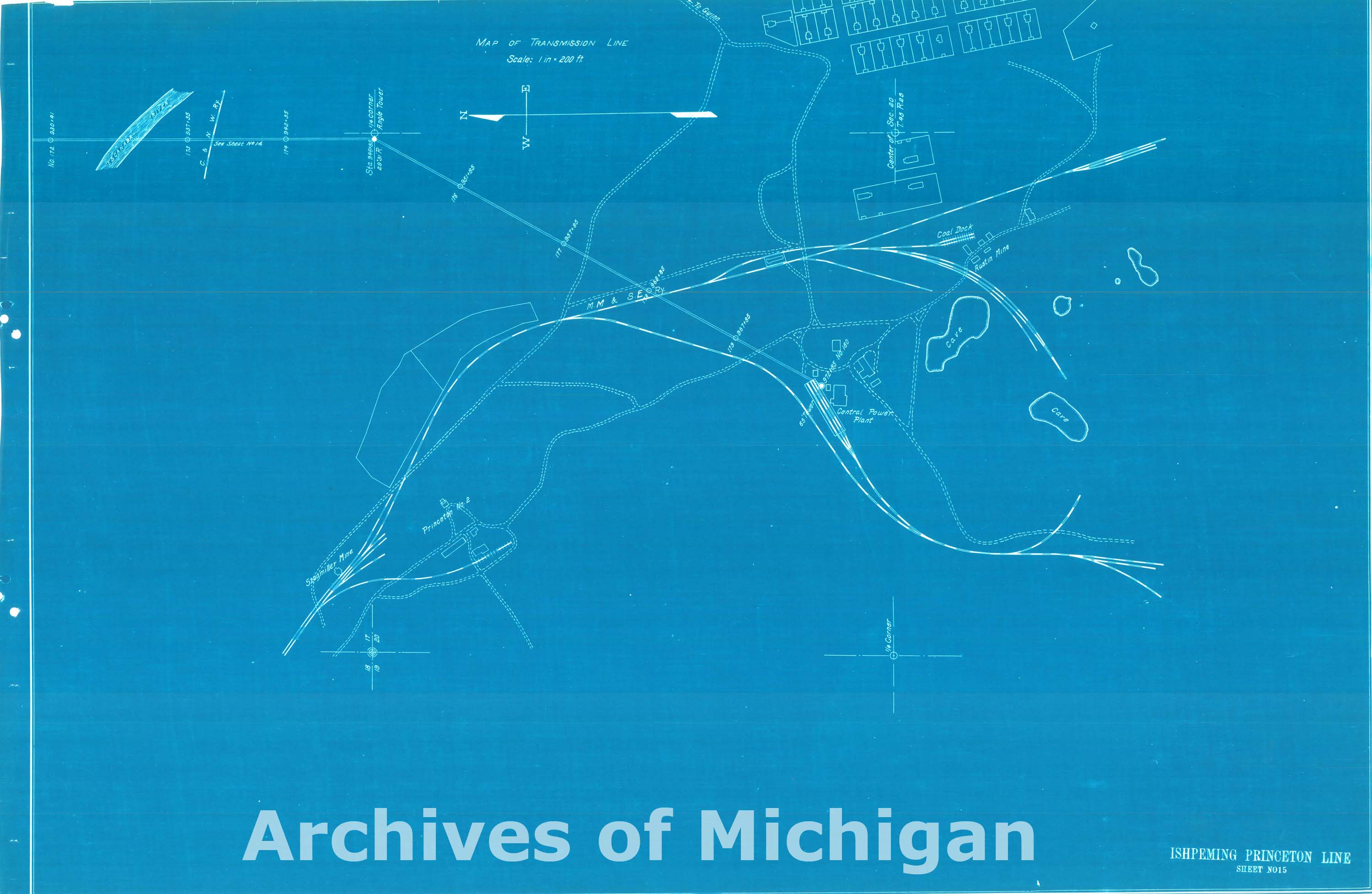
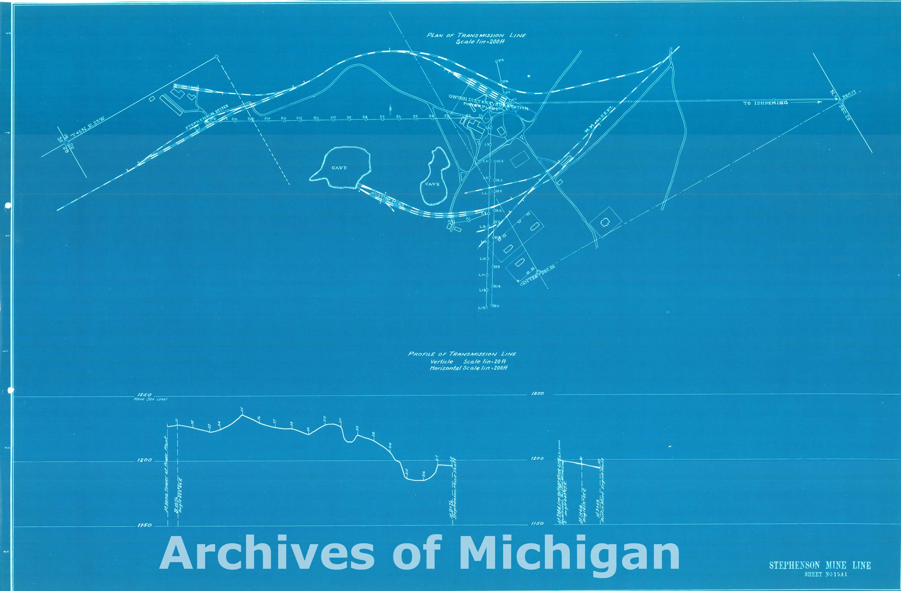
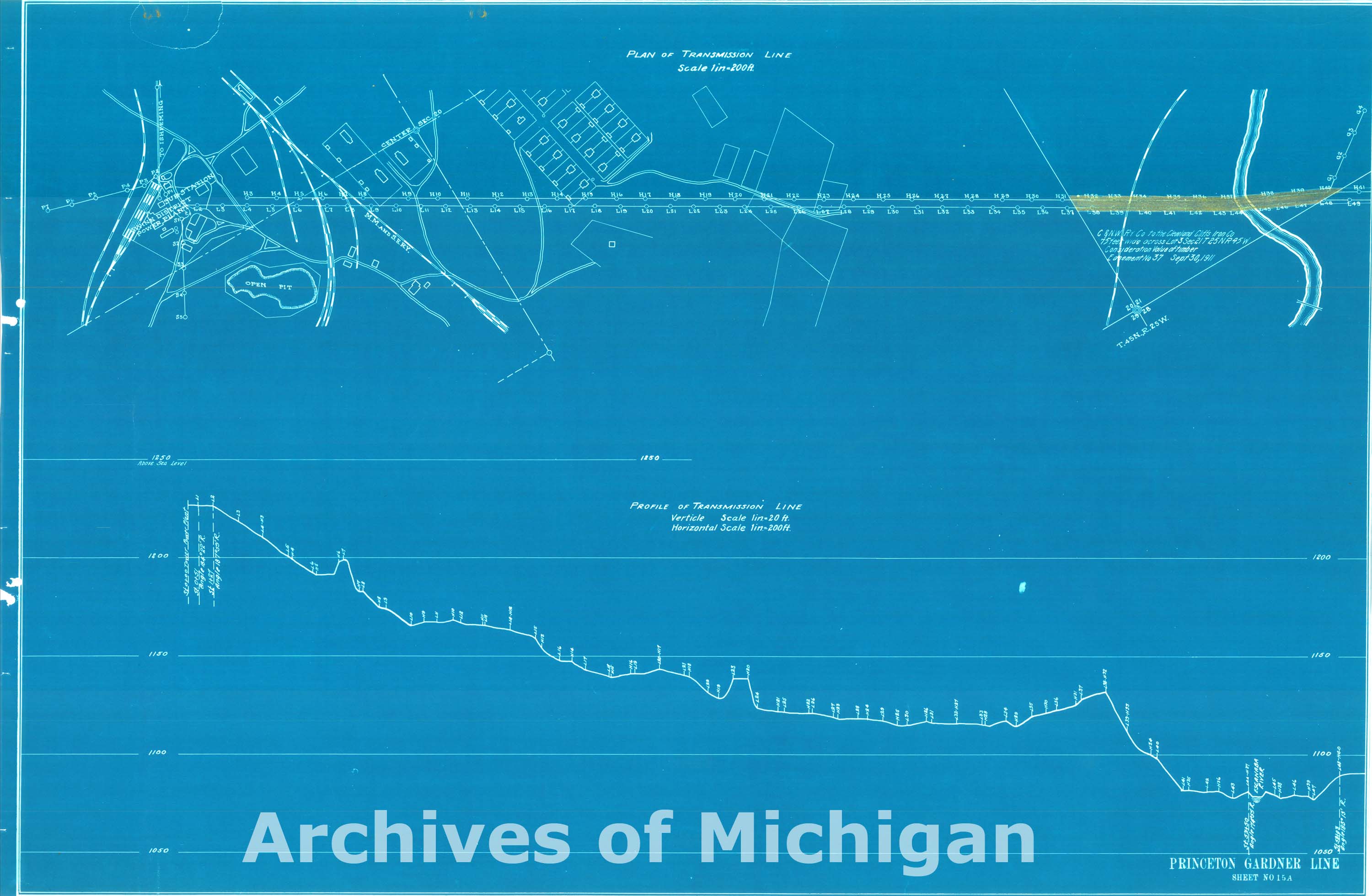
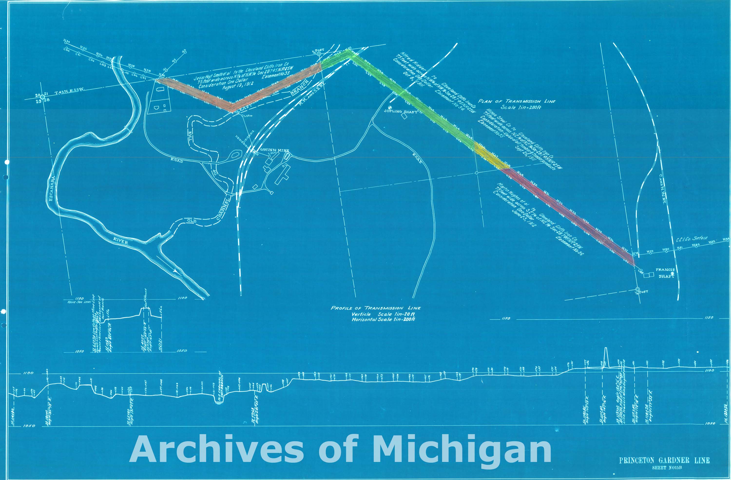
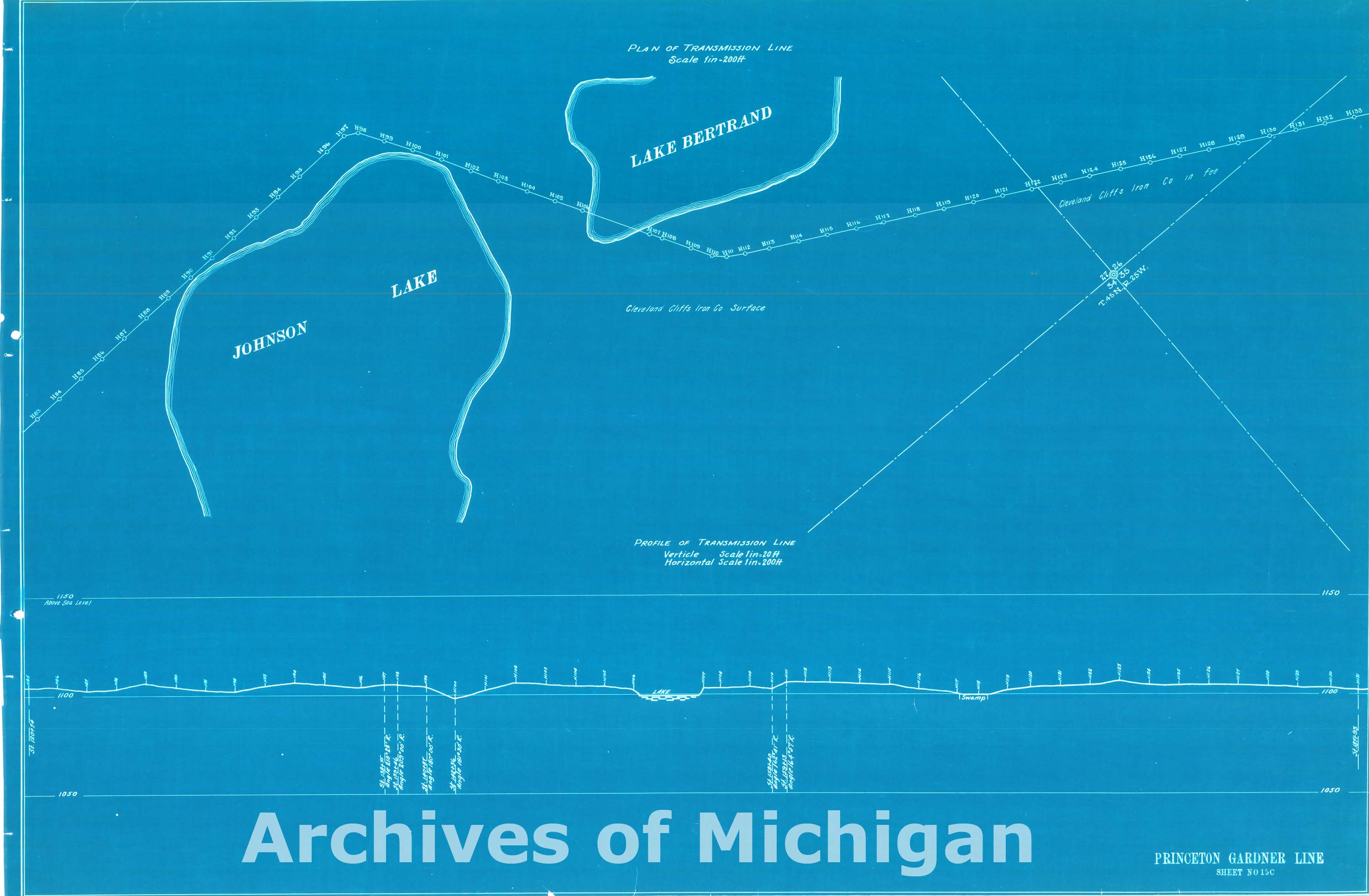
Map of Transmission Line Plans Ishpeming to Princeton, Princeton, Michigan, North Lake and Marquette (21 maps) 1913 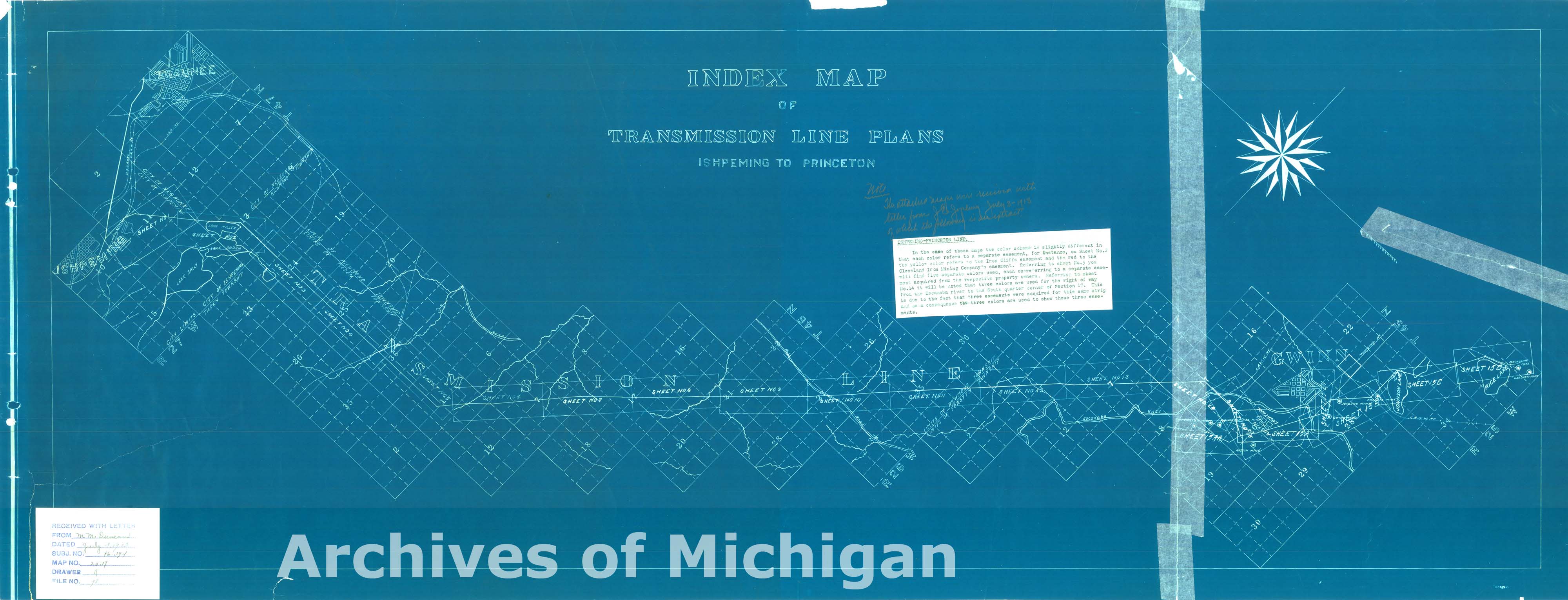
|
||||||||||||||||
|
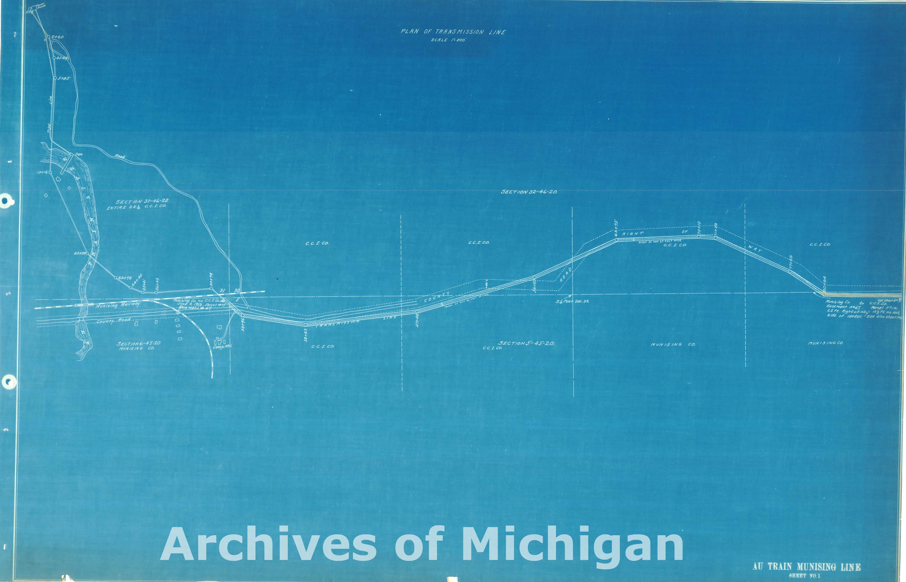
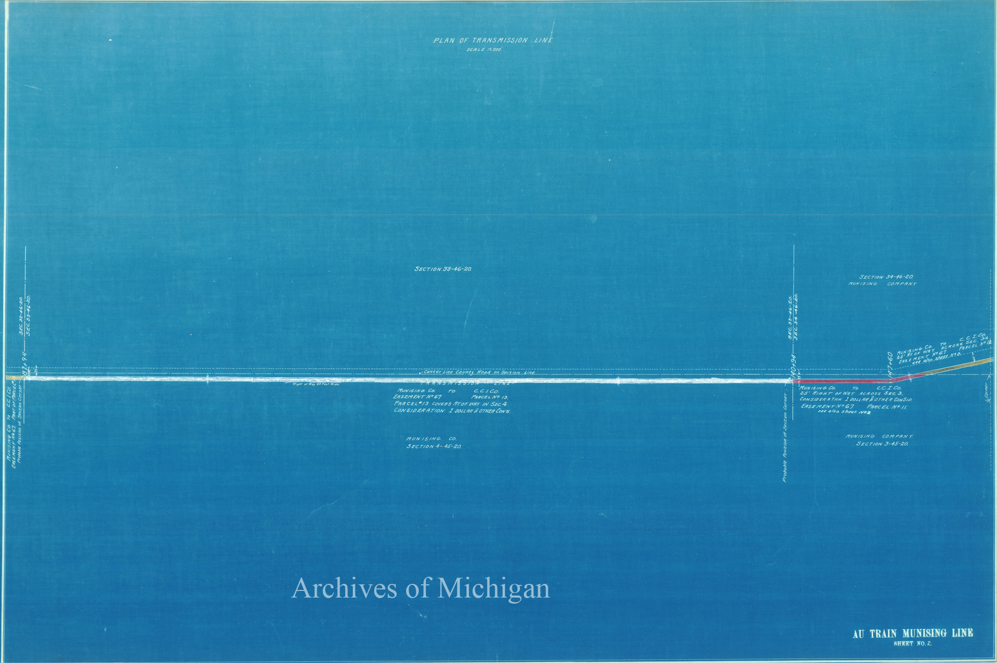
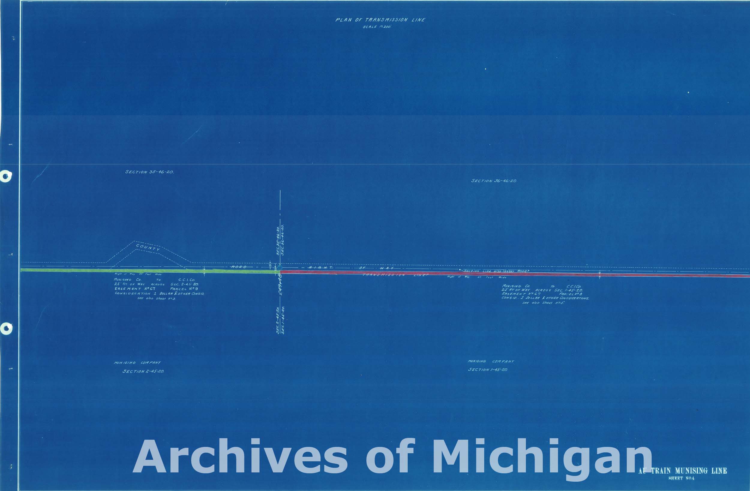
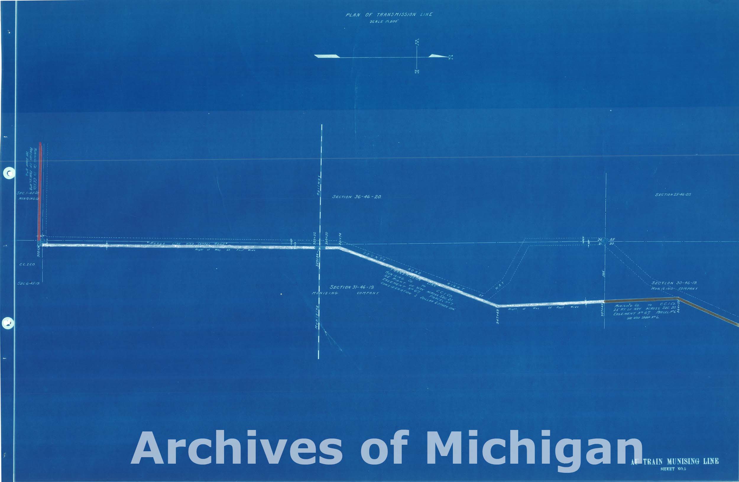
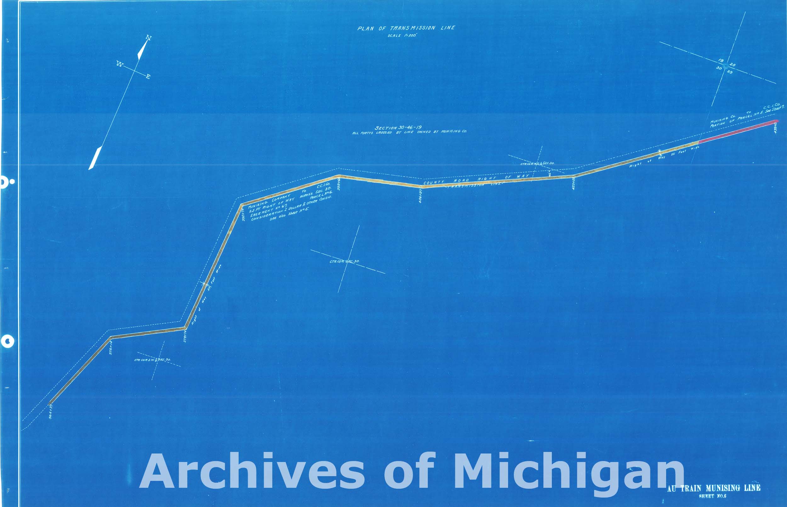
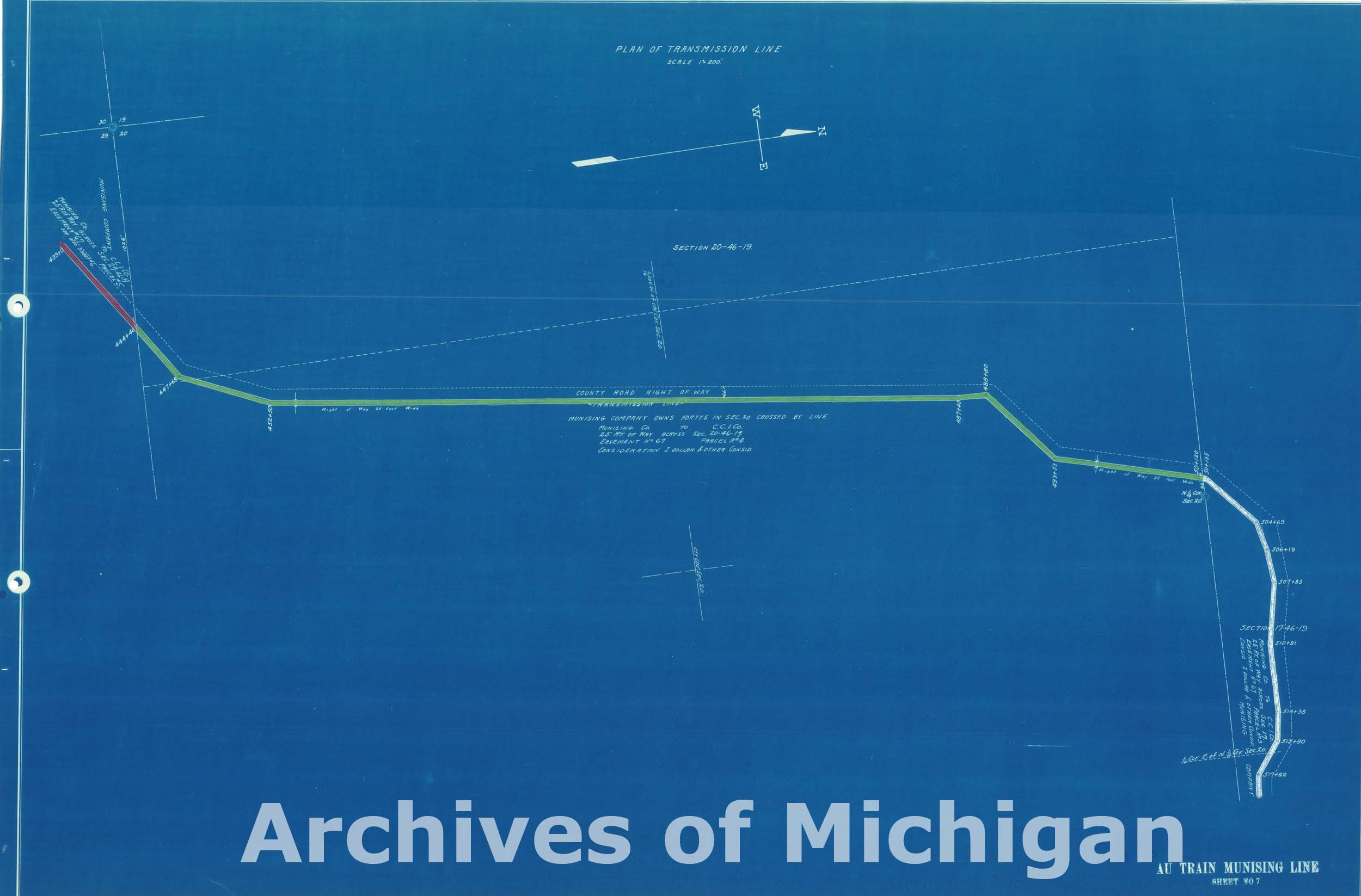
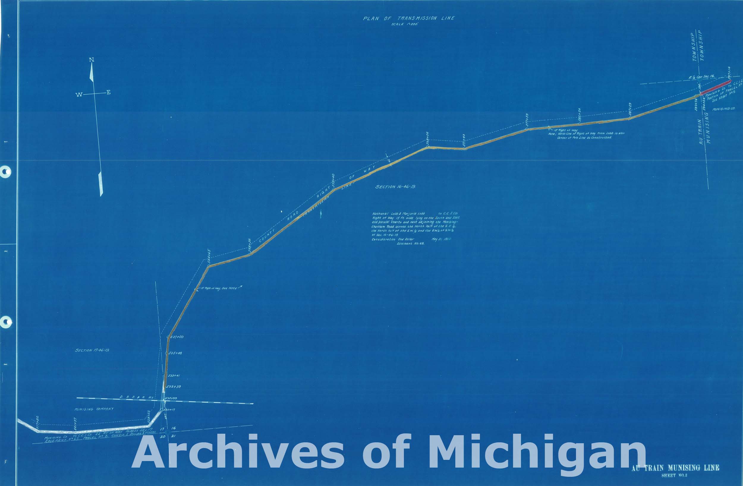
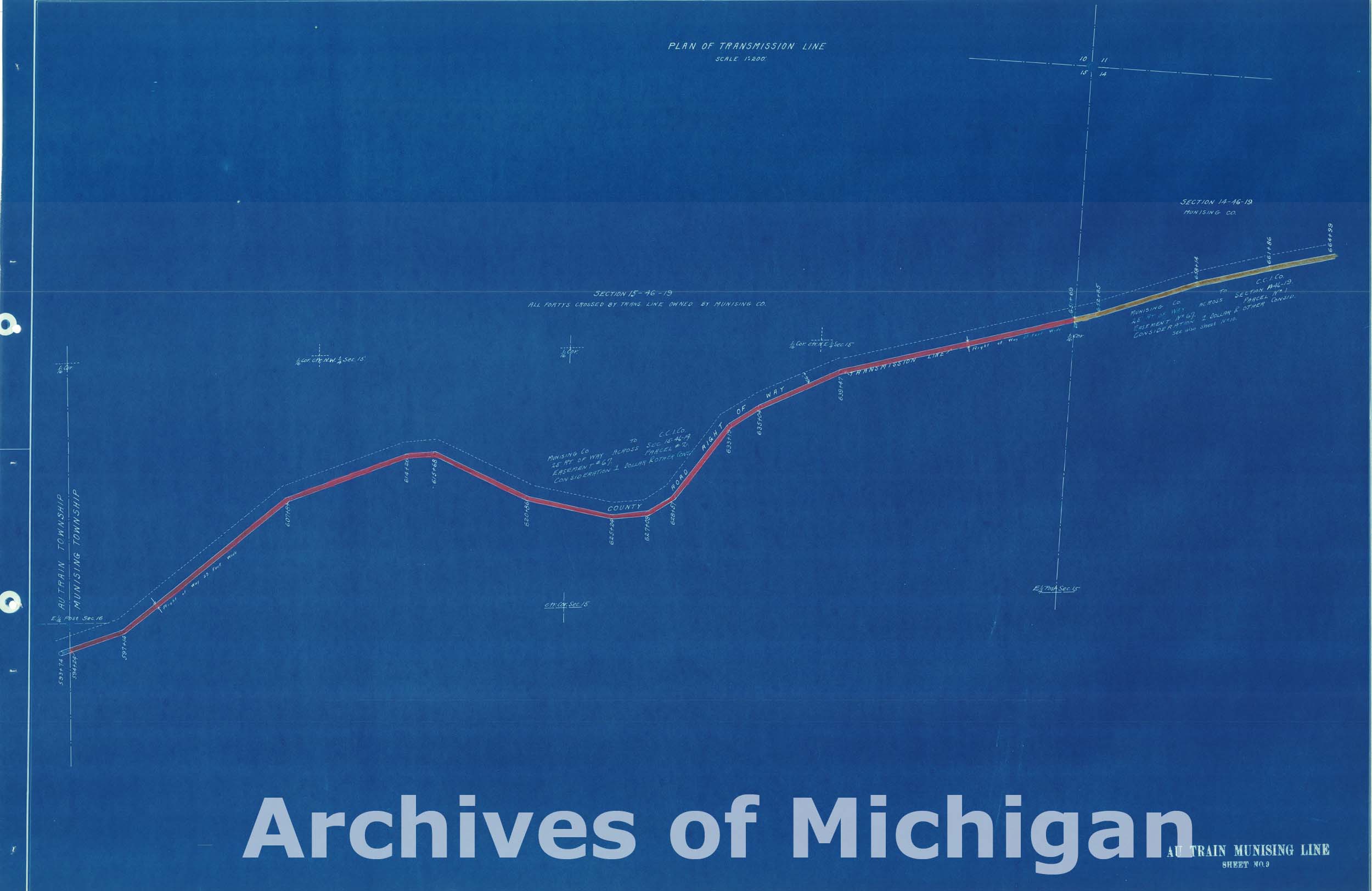
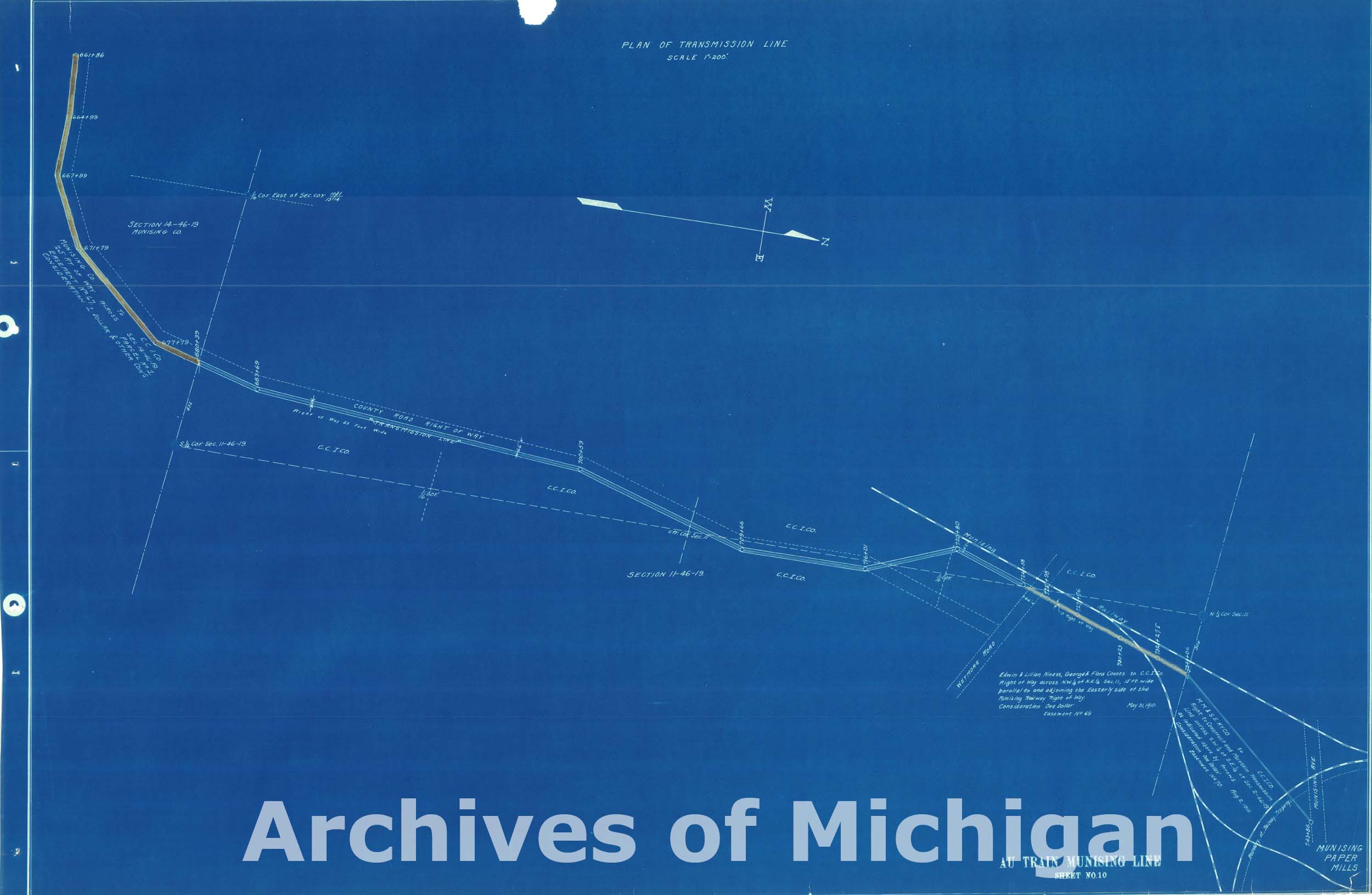
Maps of Transmission Line Plans Autrain to Munising, Munising, Michigan and Autrain Township (11 maps) 1913 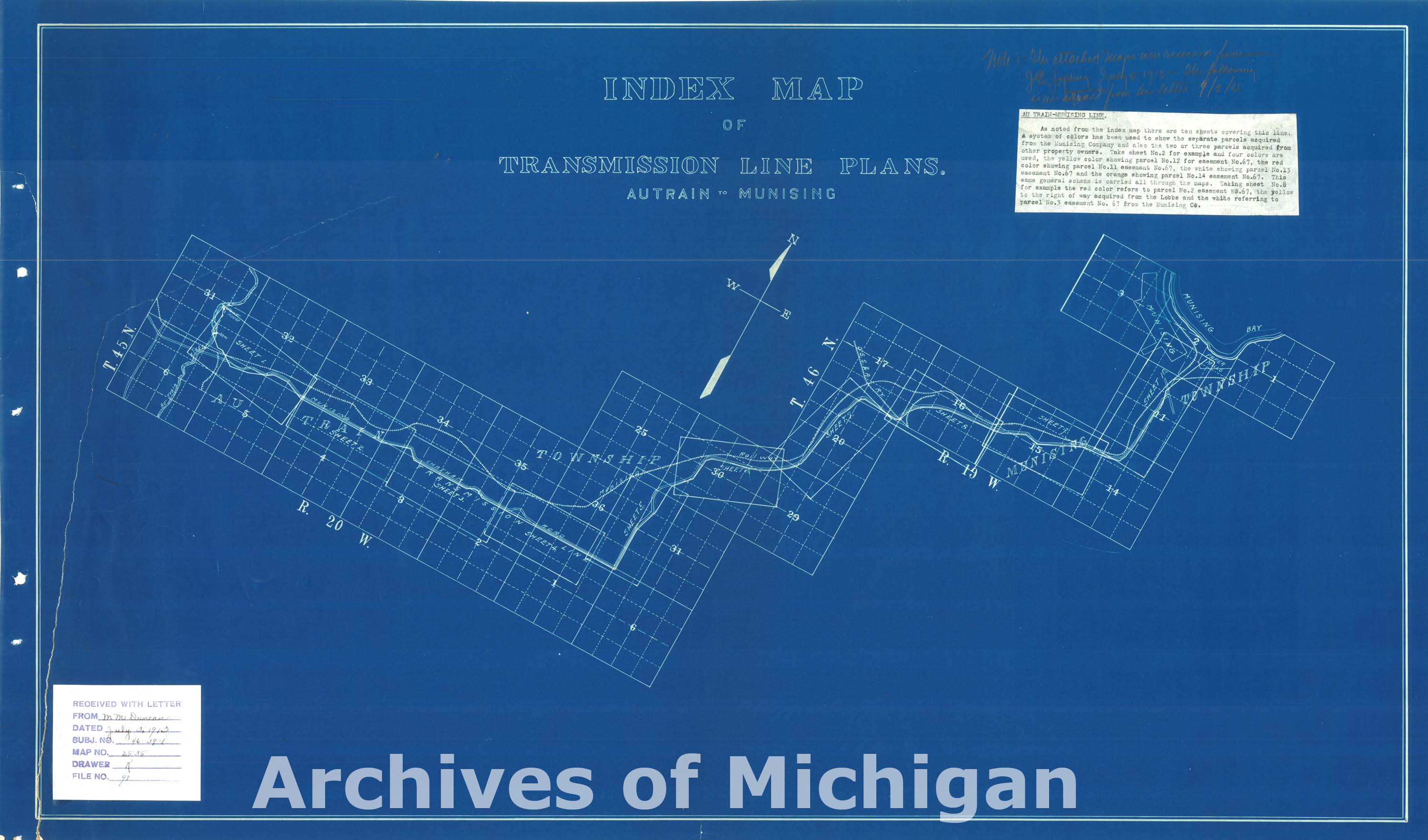

|
||||||||||||||||
|
Township 49 Range 33, L'Anse Township 1901 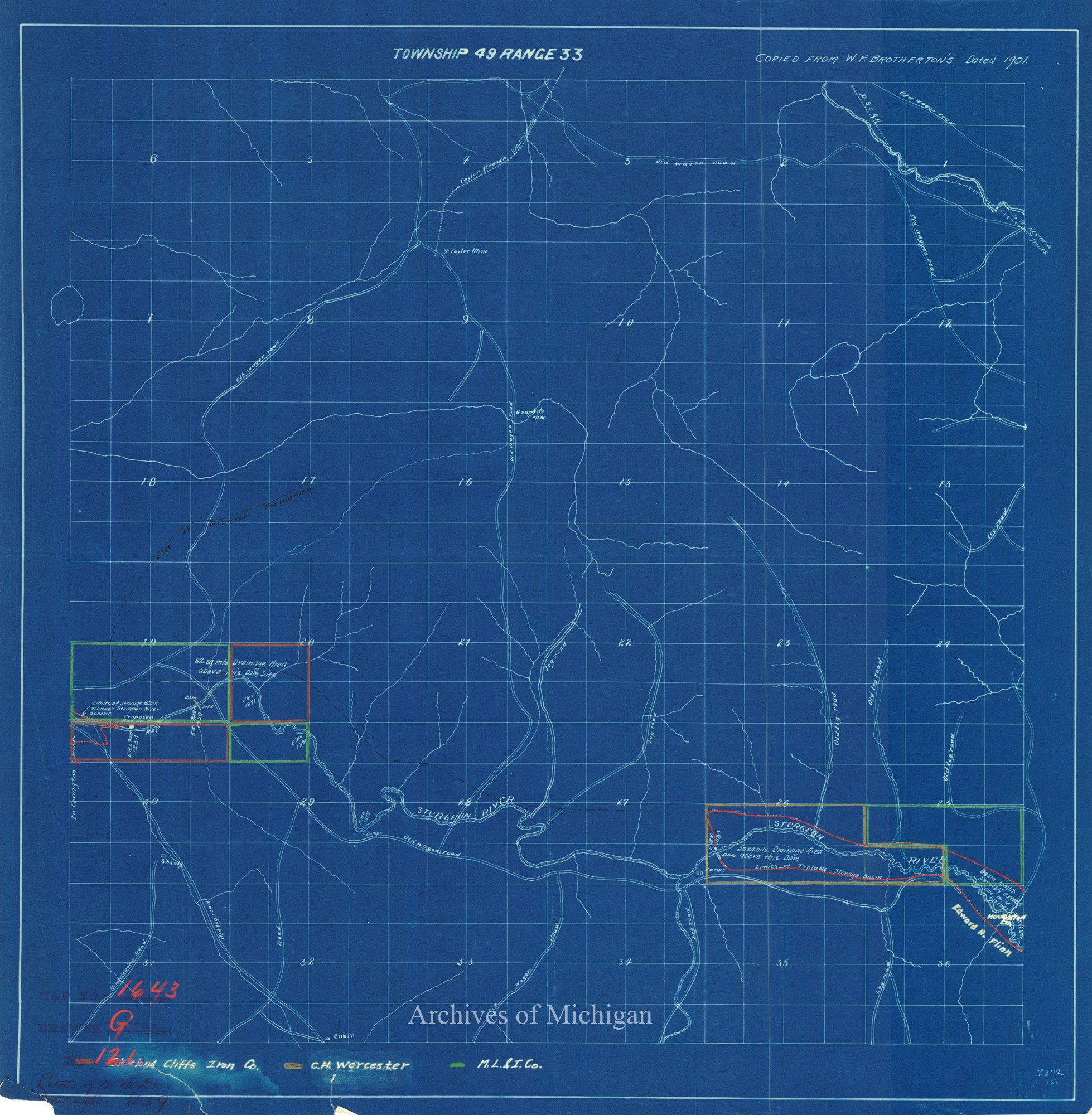
|
||||||||||||||||
|
Carp River Water Power- Showing Proposed Development and Lands, Marquette County 1909 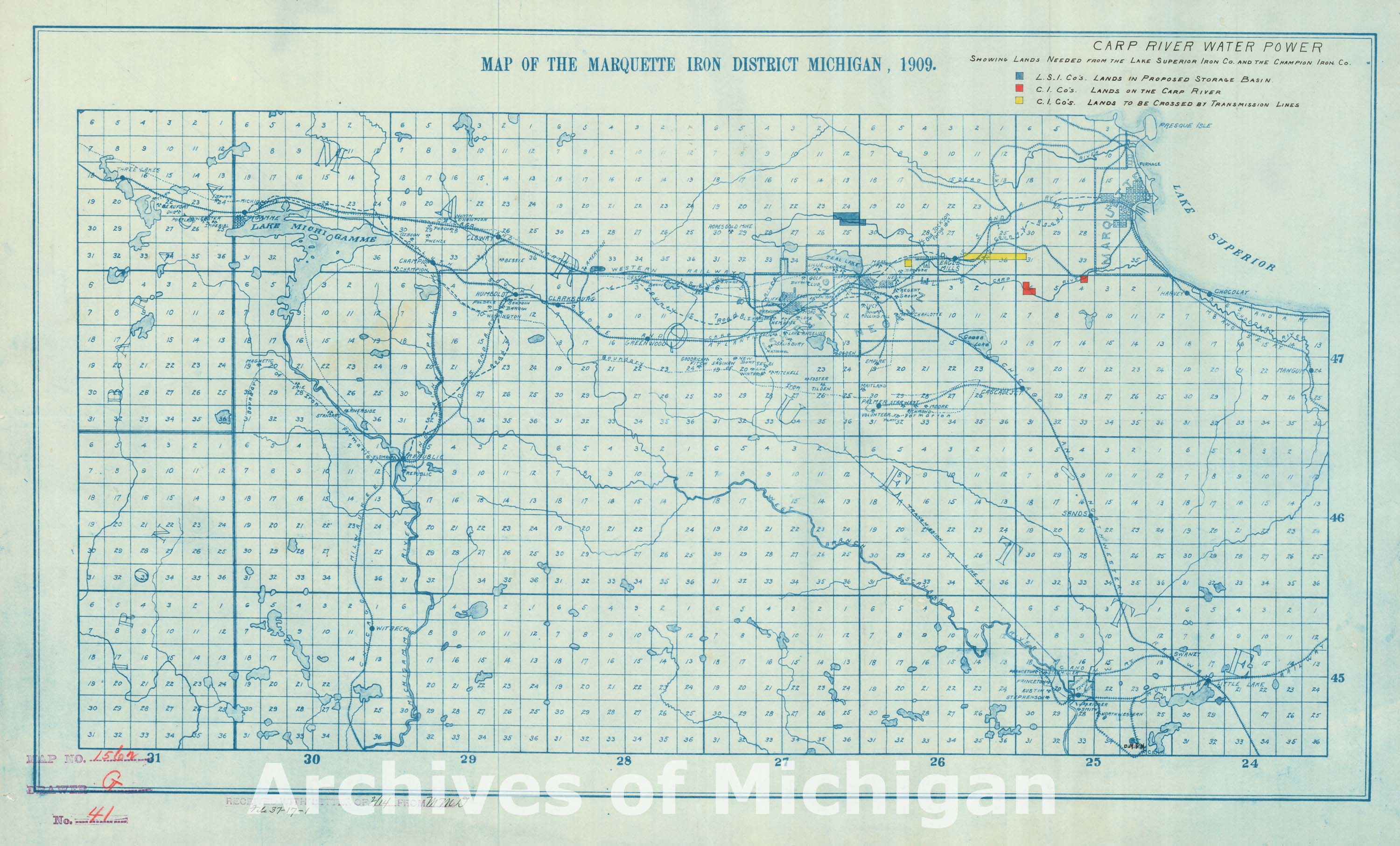
|
||||||||||||||||
|
Map of the Marquette Iron District Michigan, Marquette 1909 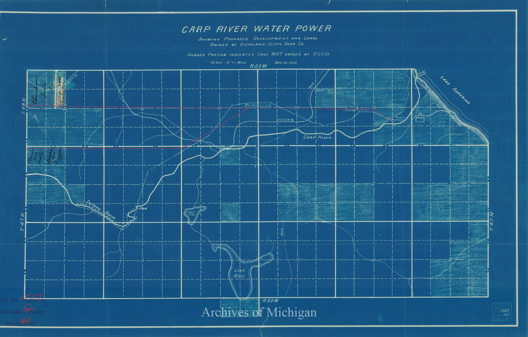
|
||||||||||||||||
|
Map of the Marquette and Negaunee Districts Showing the Carp and Dead River Water Powers, Marquette County 1911 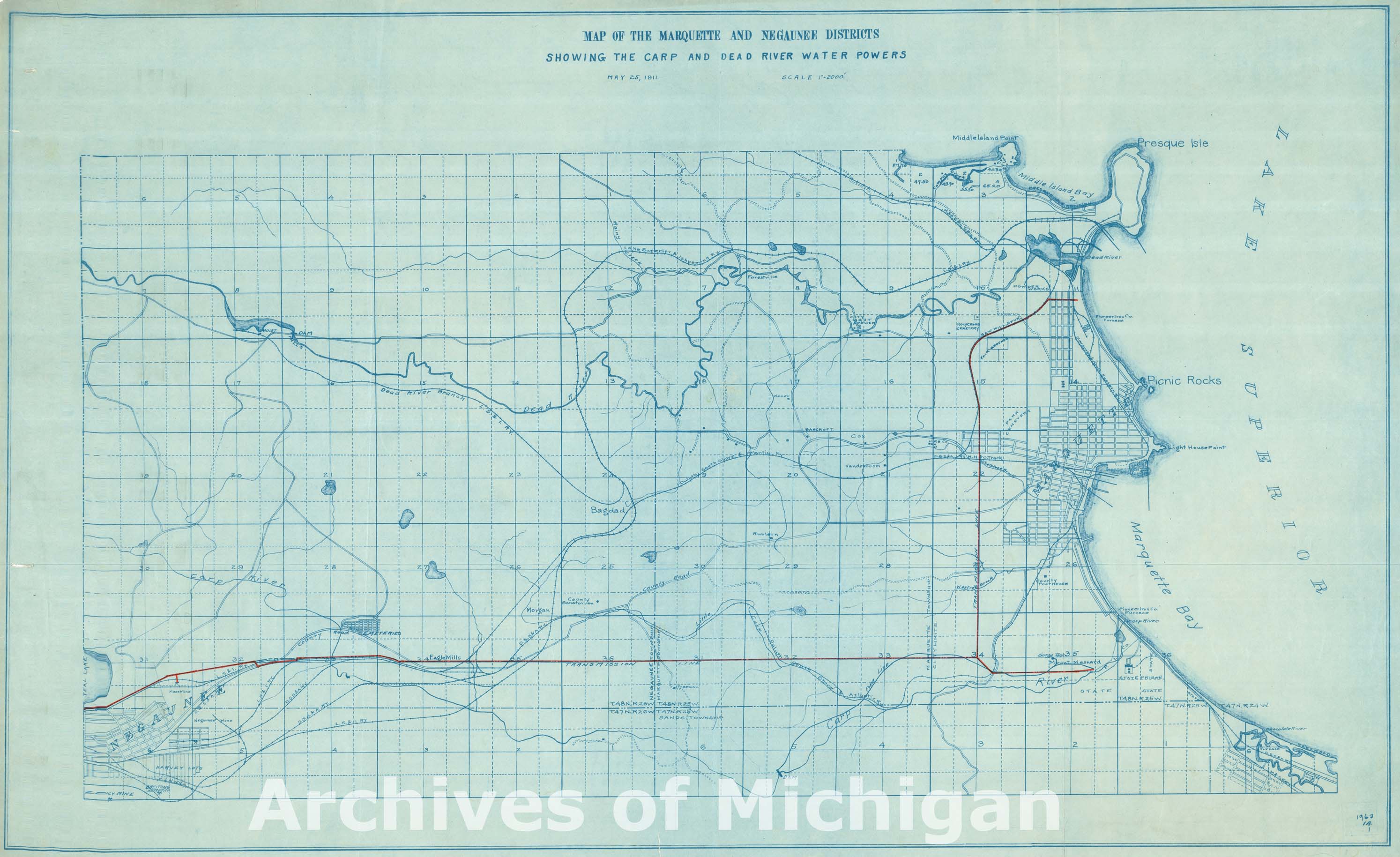
|
||||||||||||||||
|
Map of the Marquette and Negaunee Districts Showing the Carp and Dead River Water Powers, Marquette County 1911 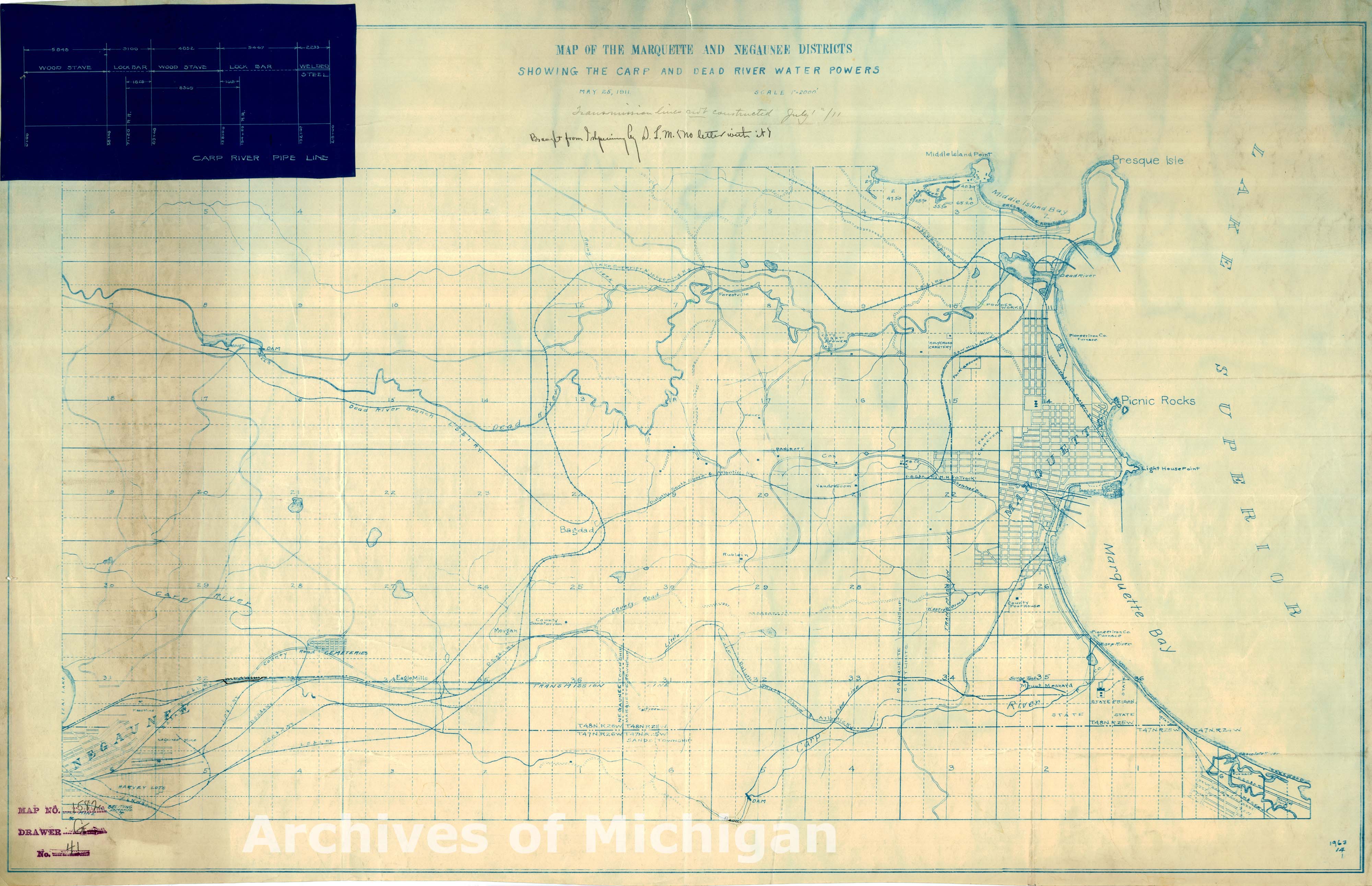
|
||||||||||||||||
|
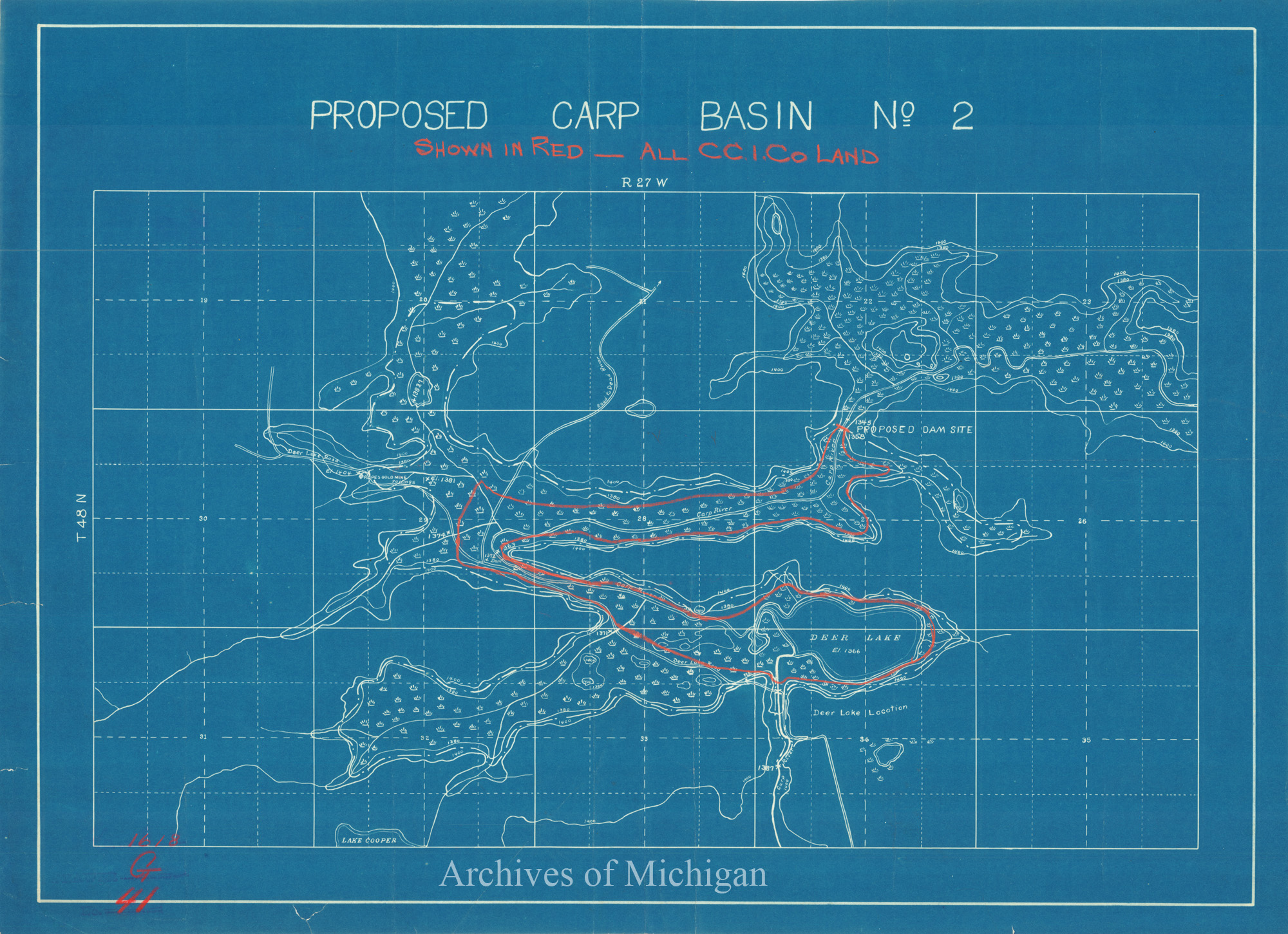
Proposed Carp Basin No.2, Ishpeming Township (2 maps) 1911 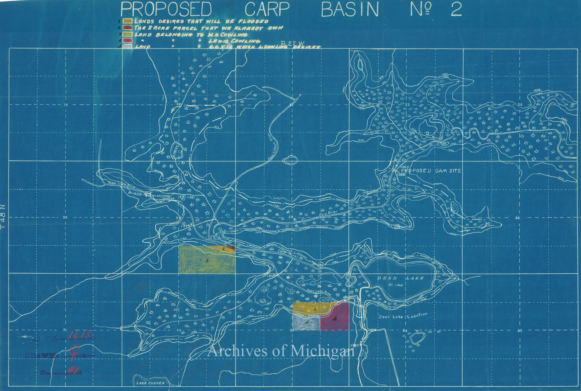
|
||||||||||||||||
|
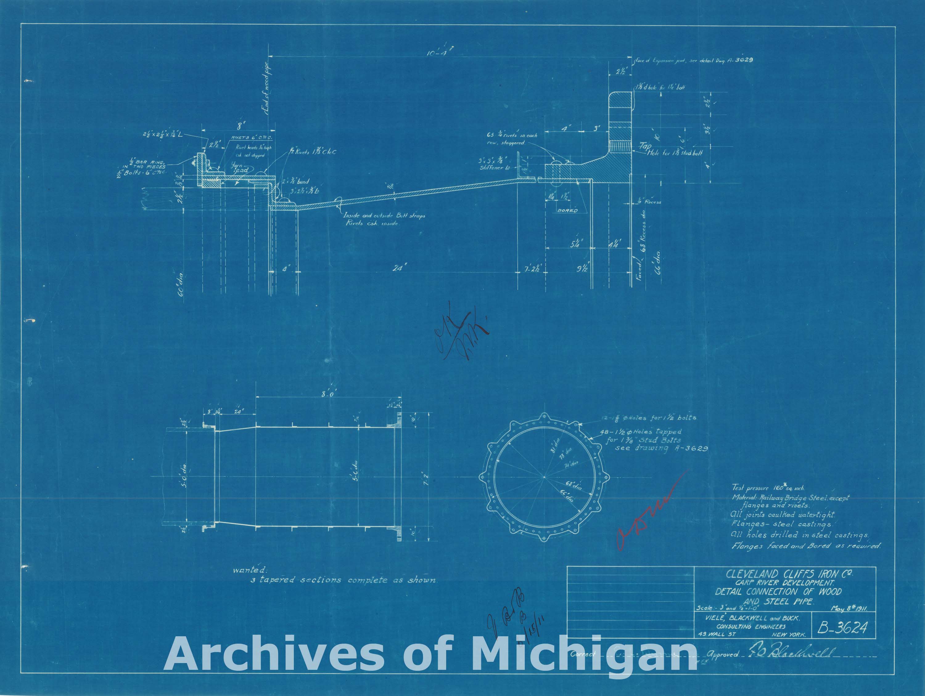
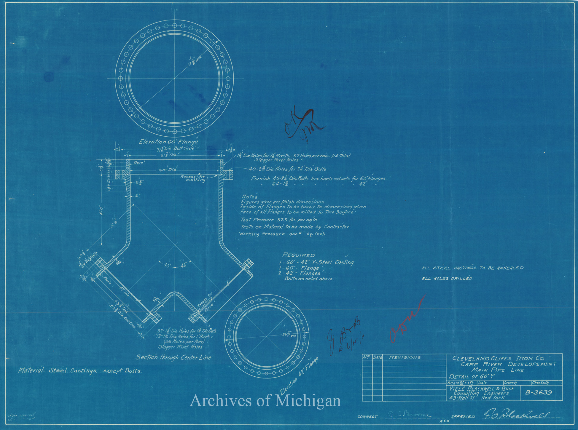
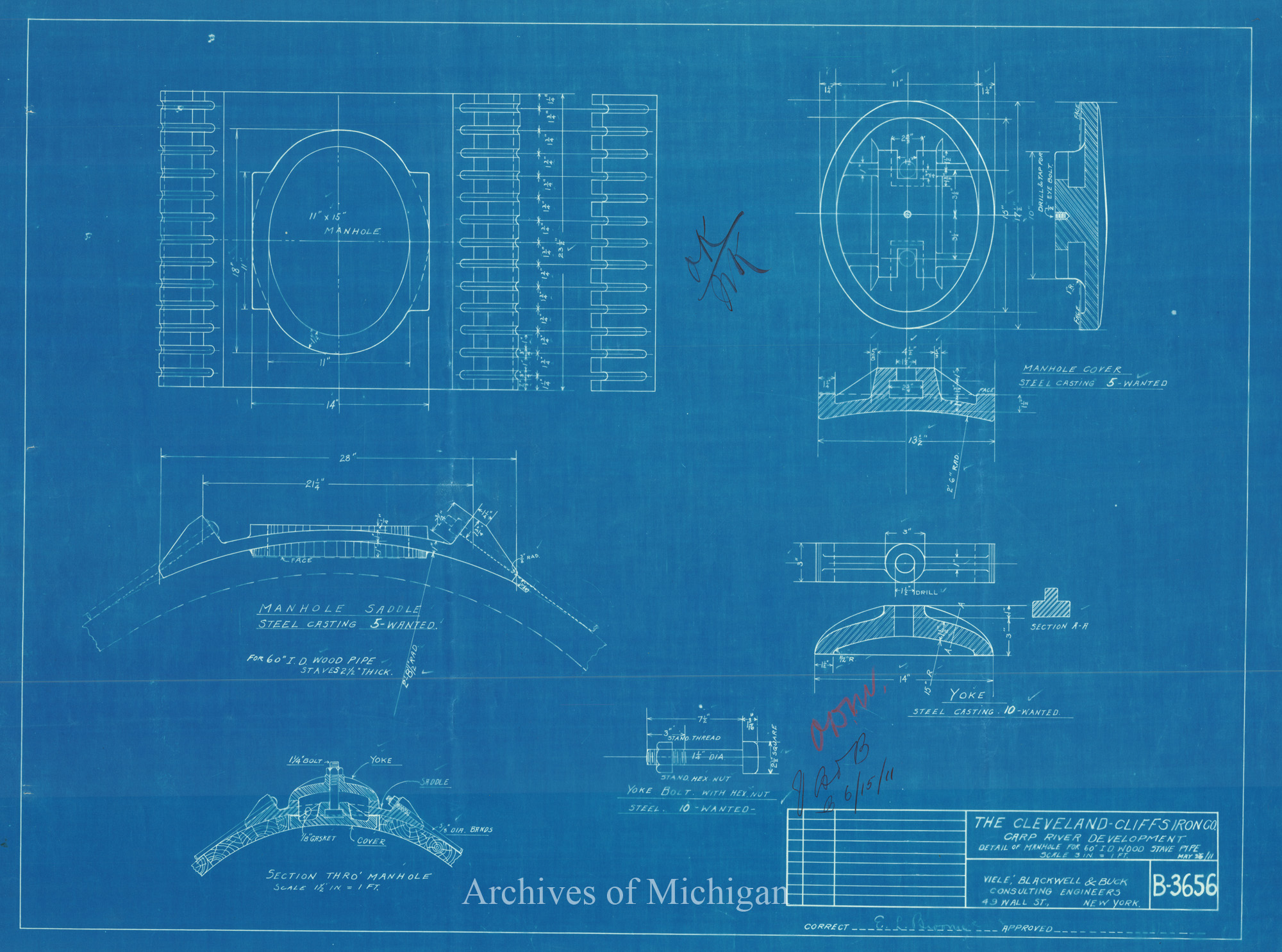
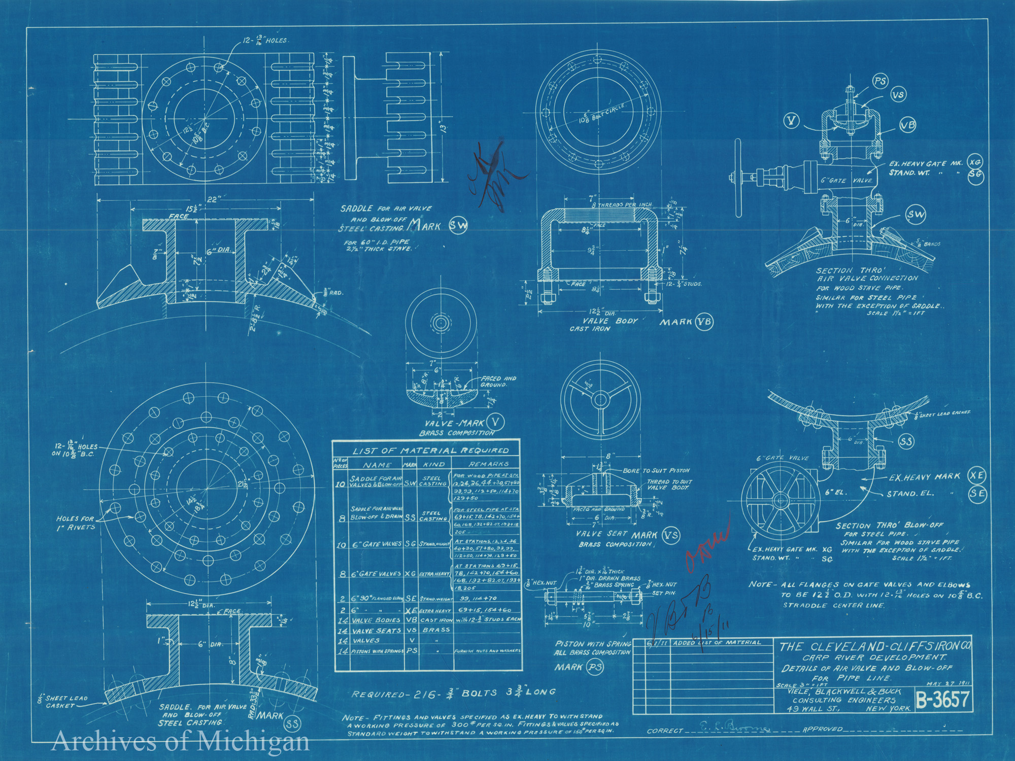
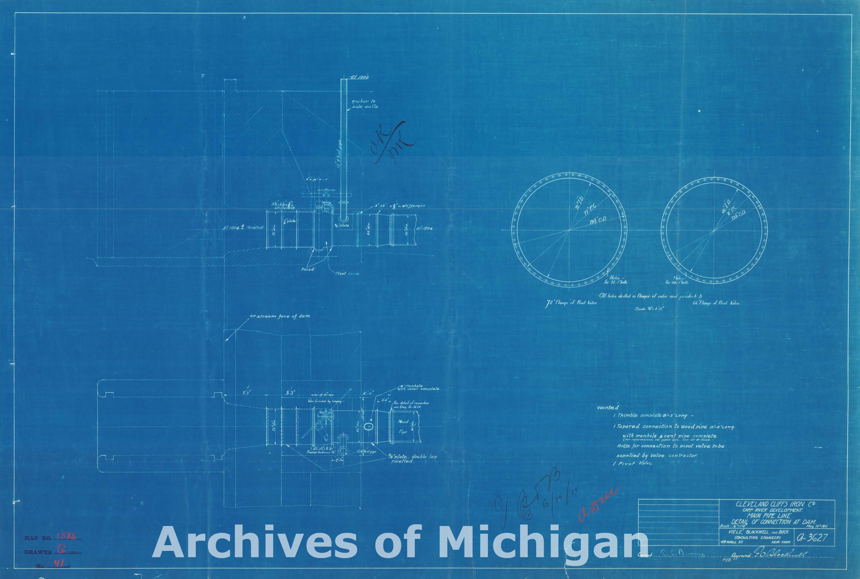
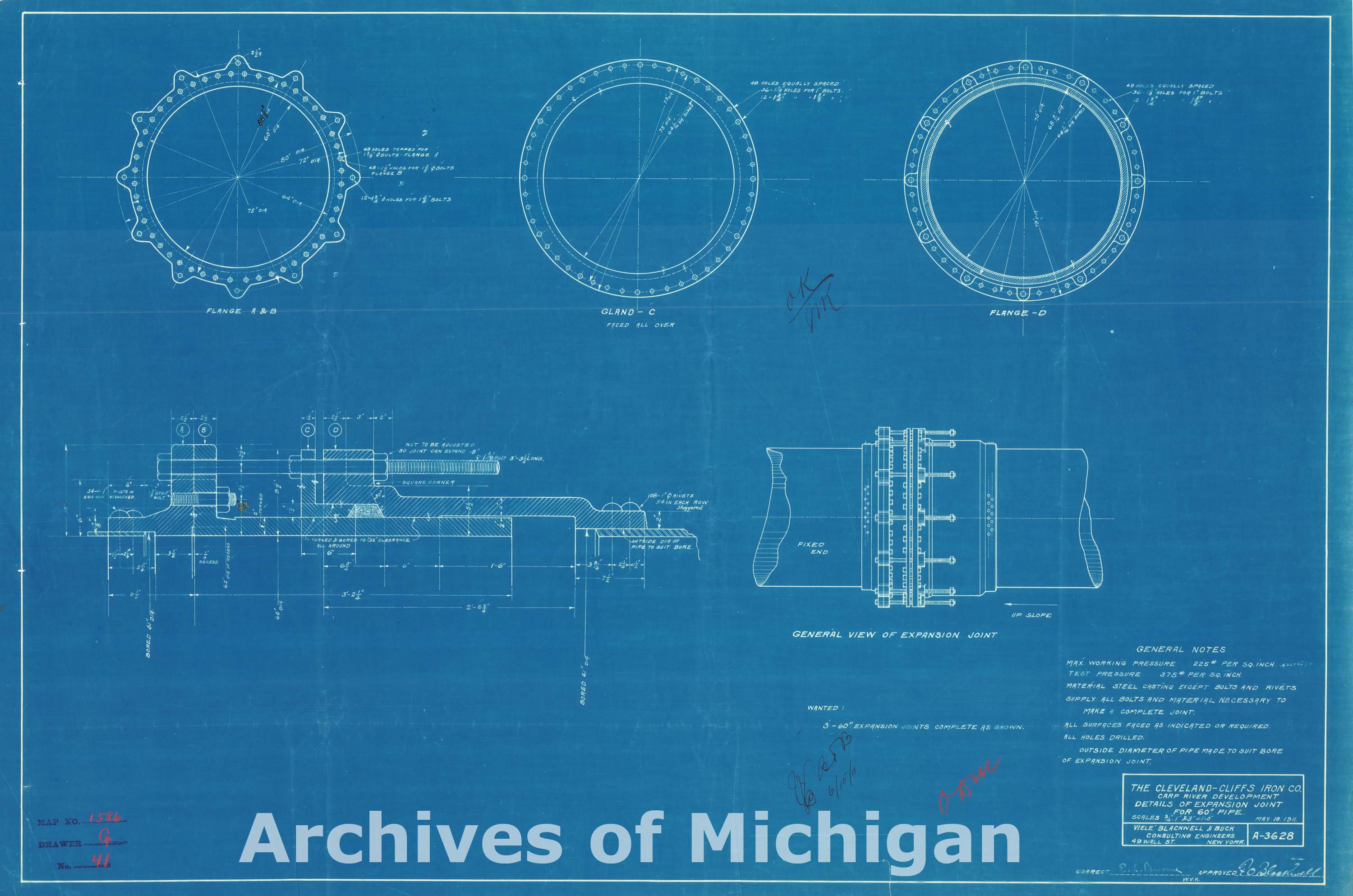
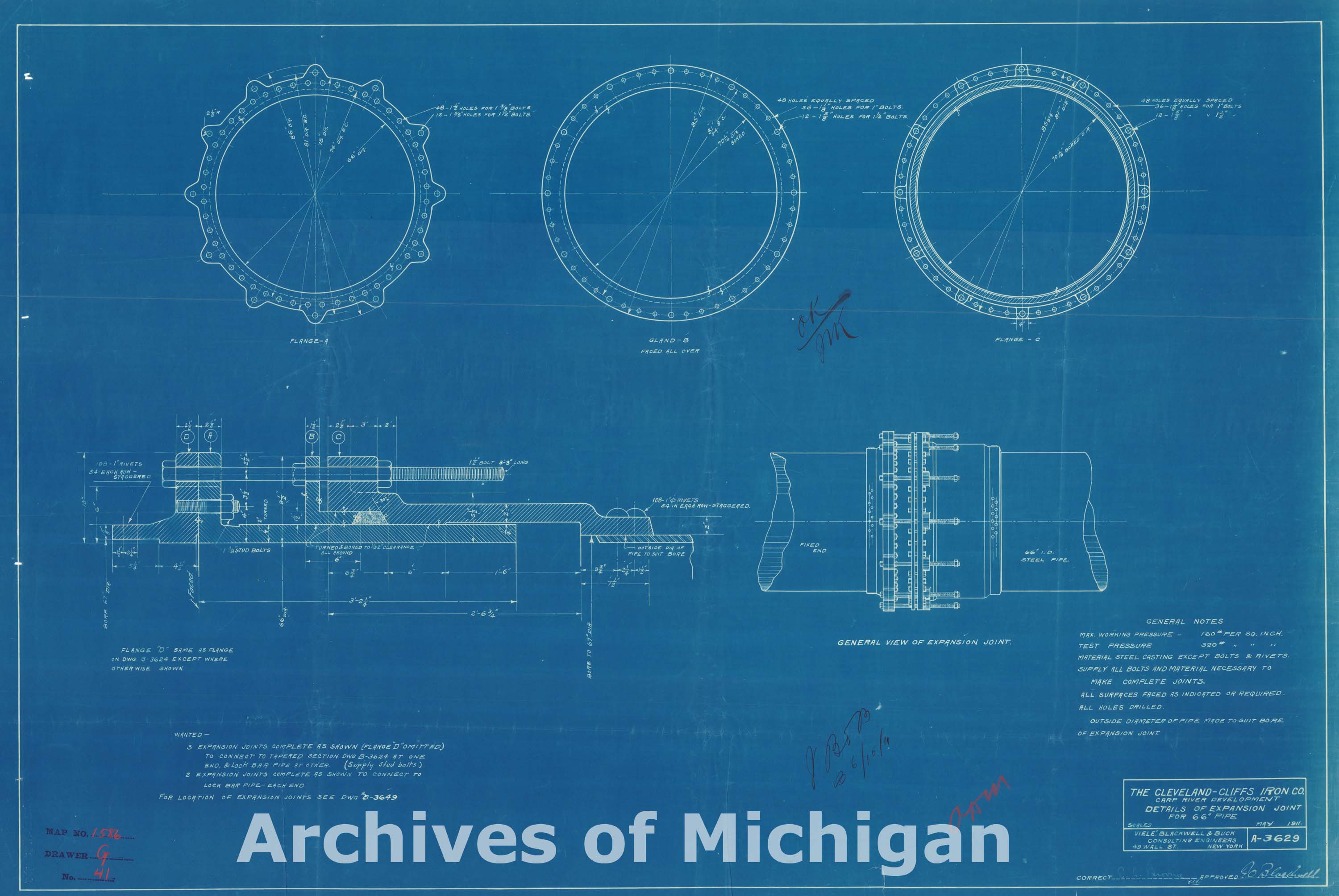
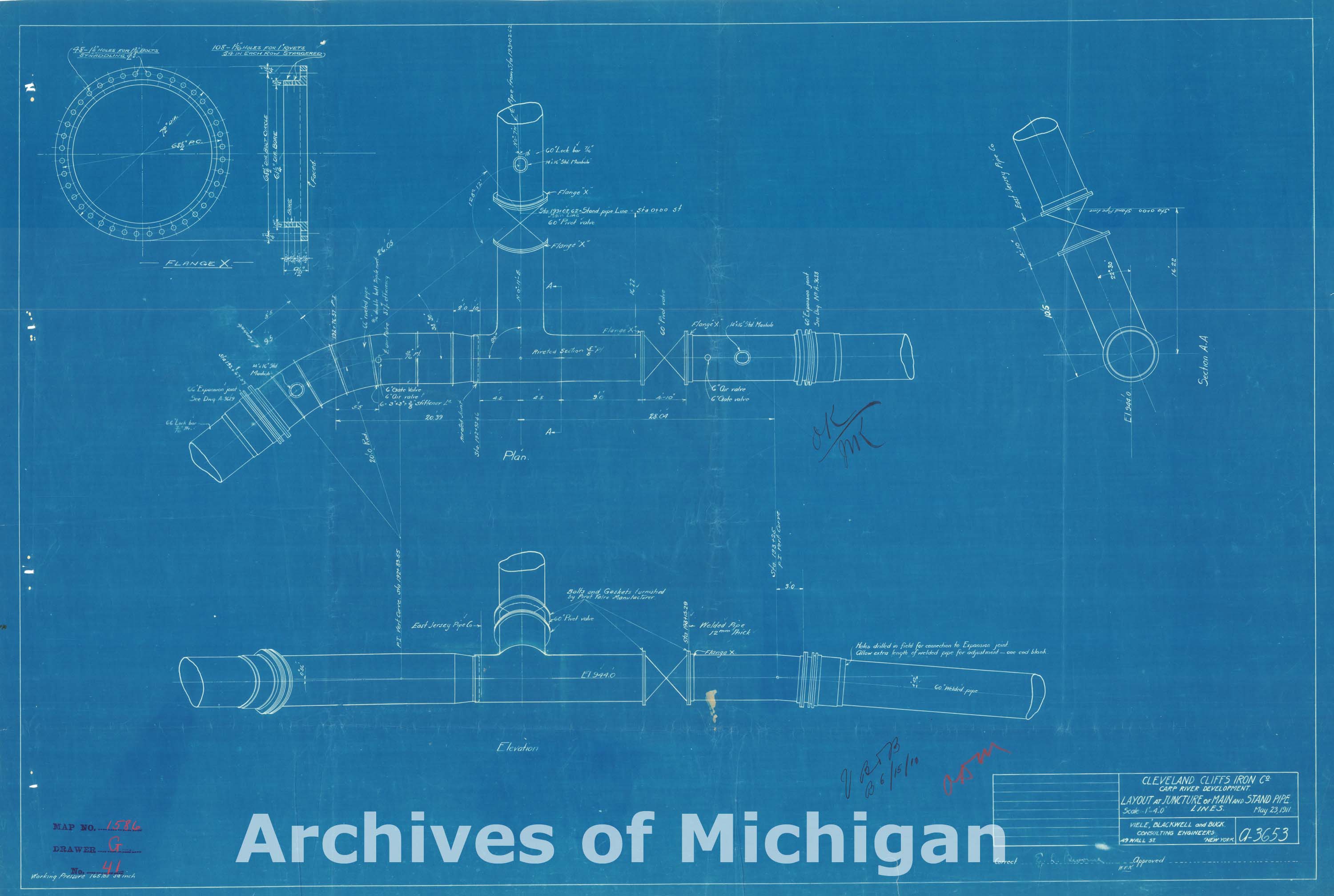
Carp River Development (9 Maps) 1911 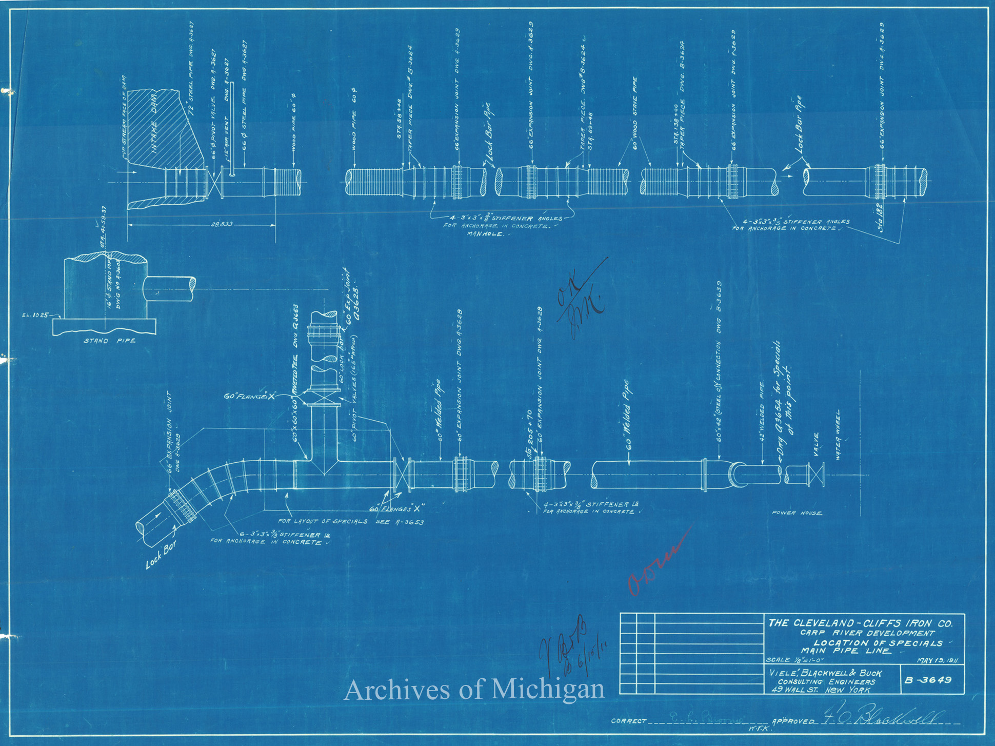
|
||||||||||||||||
|
Carp River Water Power Profile of Proposed Dam in S.E. 1/4 Sec. 29-48-26 1911 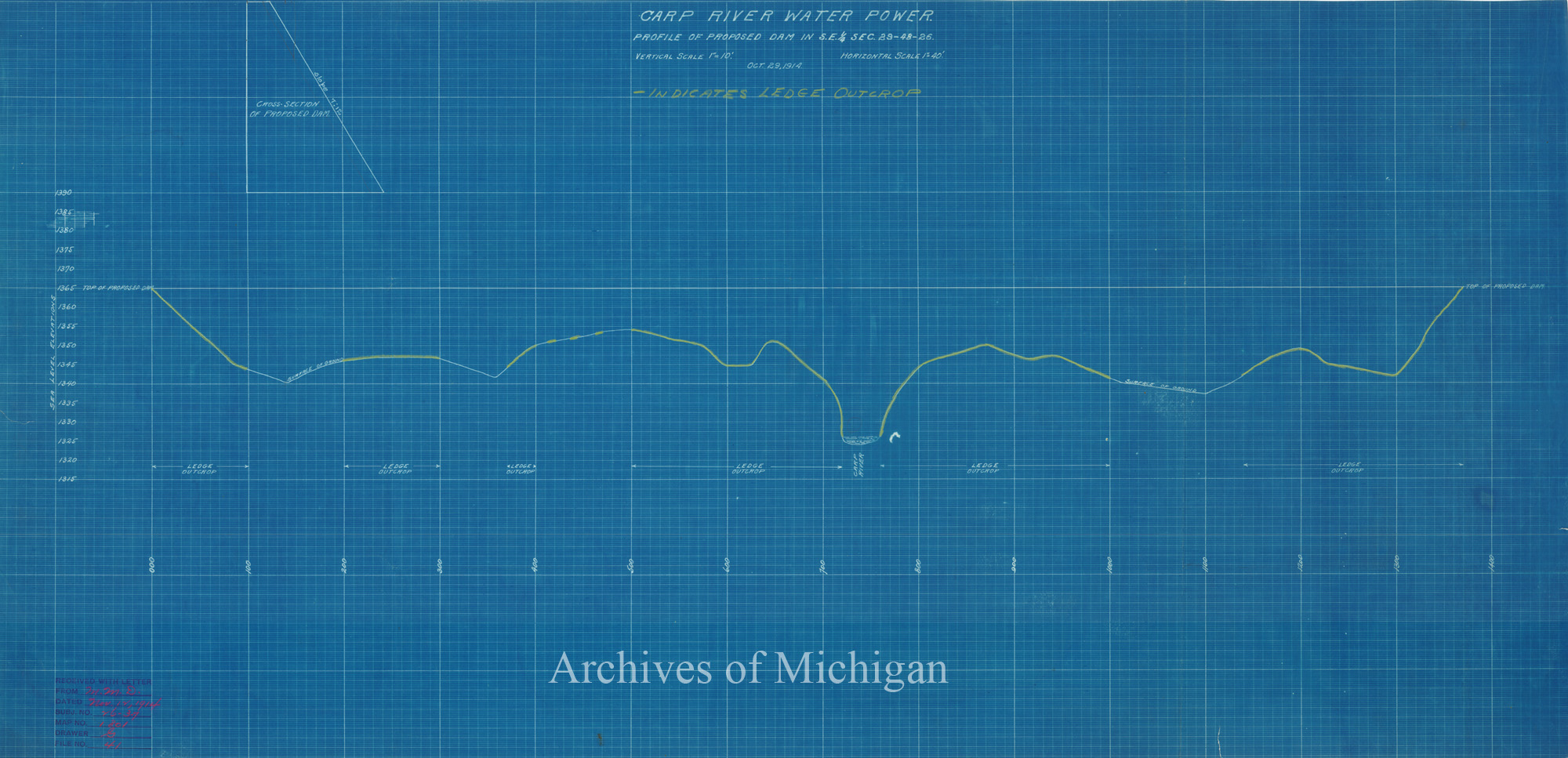
|
||||||||||||||||
|
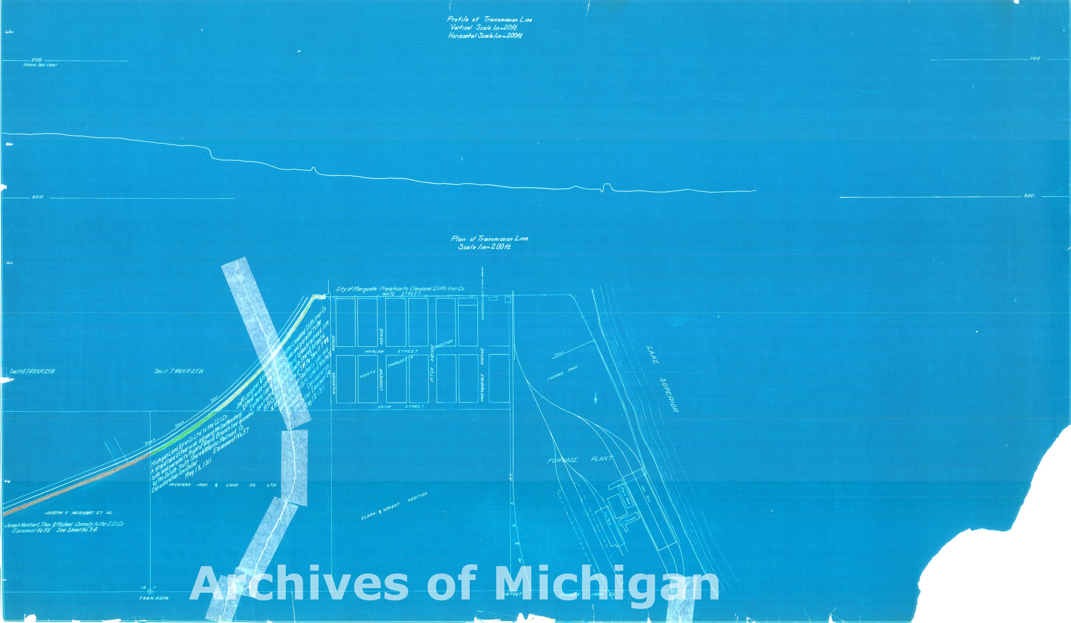
Carp River Water Power- Showing Proposed Transmission Line 1911 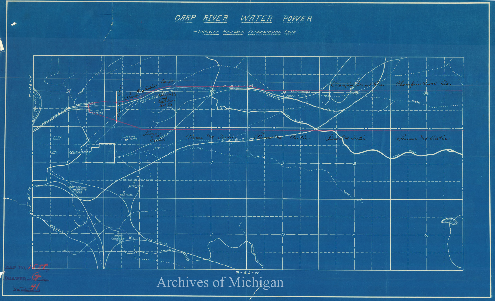
|
||||||||||||||||
|
Carp River Water Power Sec 35; T.48 N.,R25 W Marquette County 1911 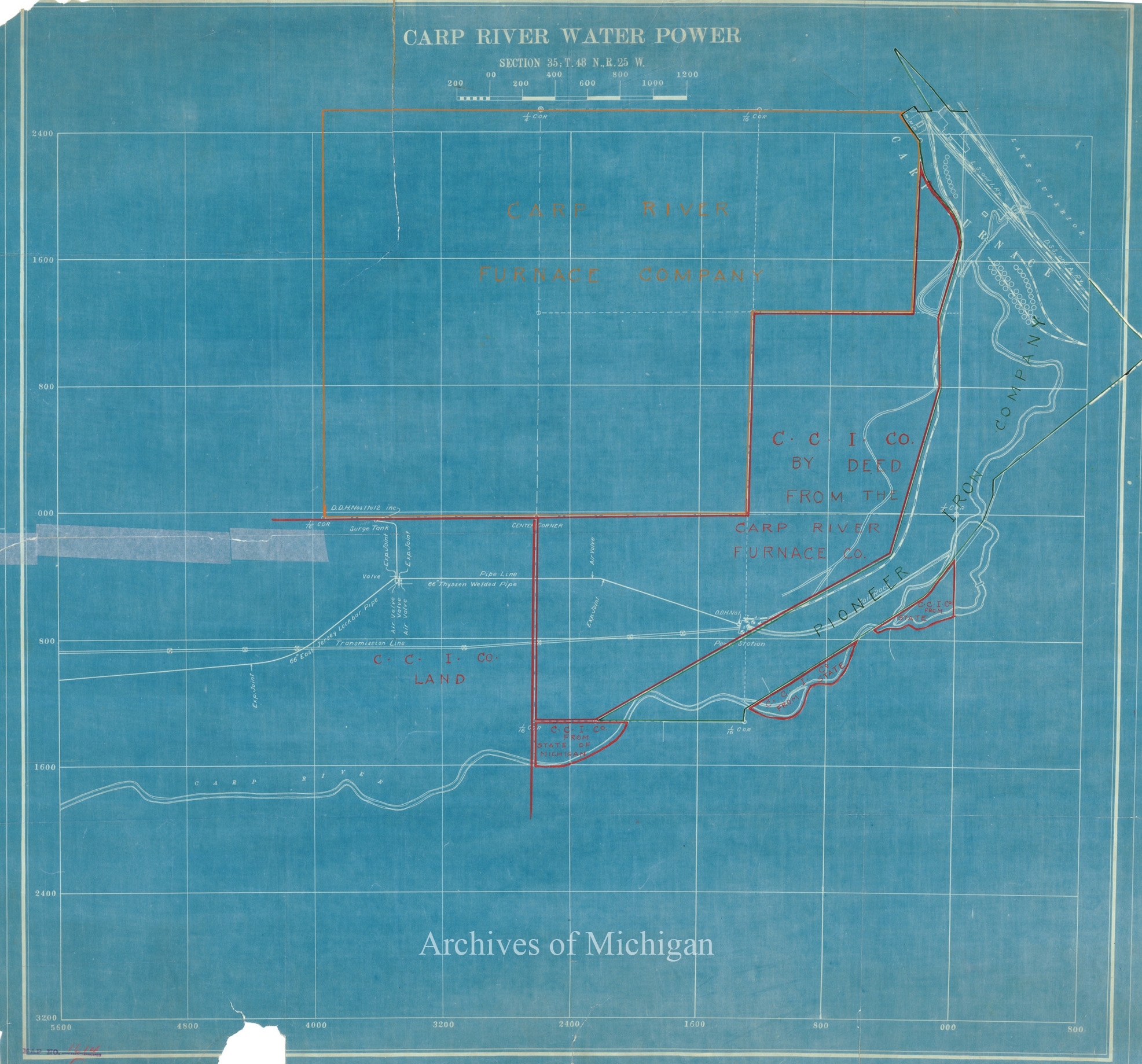
|
||||||||||||||||
|
Carp River Water Power, Ishpeming Township 1911 
|
||||||||||||||||
|
Carp River Water-Power, Ishpeming Township 1911 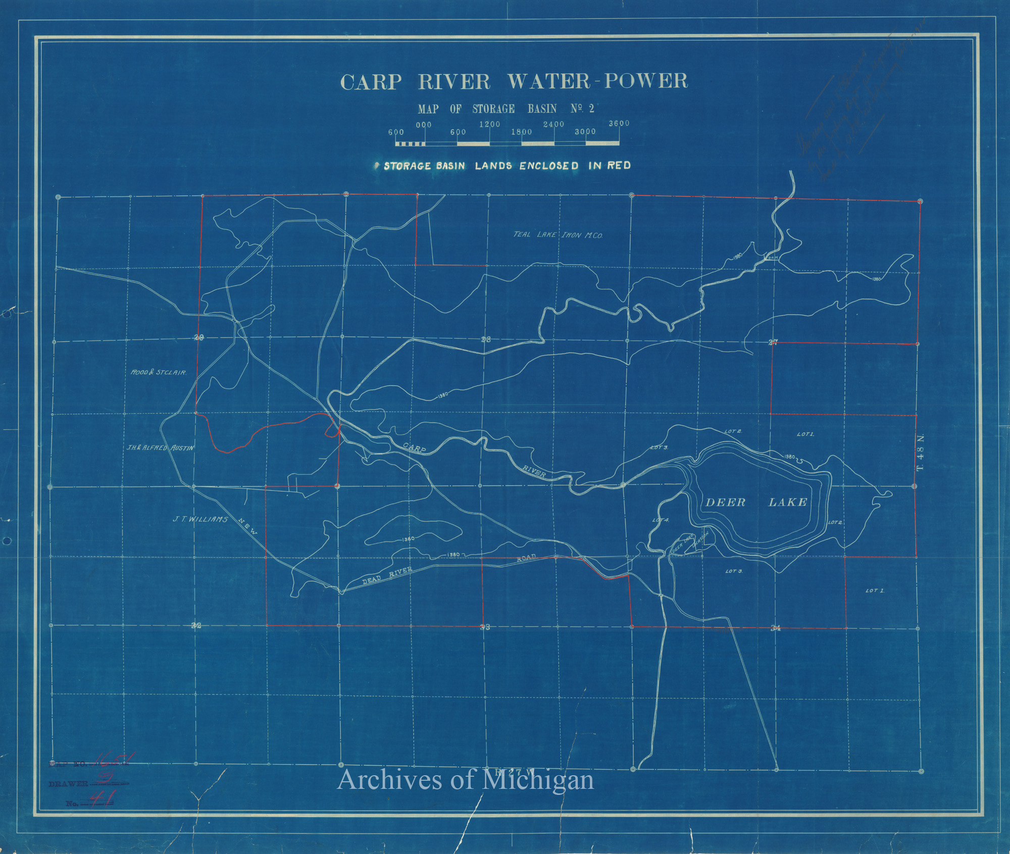
|
||||||||||||||||
|
Map of Hydro-Electric System Showing Carp River Water Power, Transmission Lines Marquette County 1912 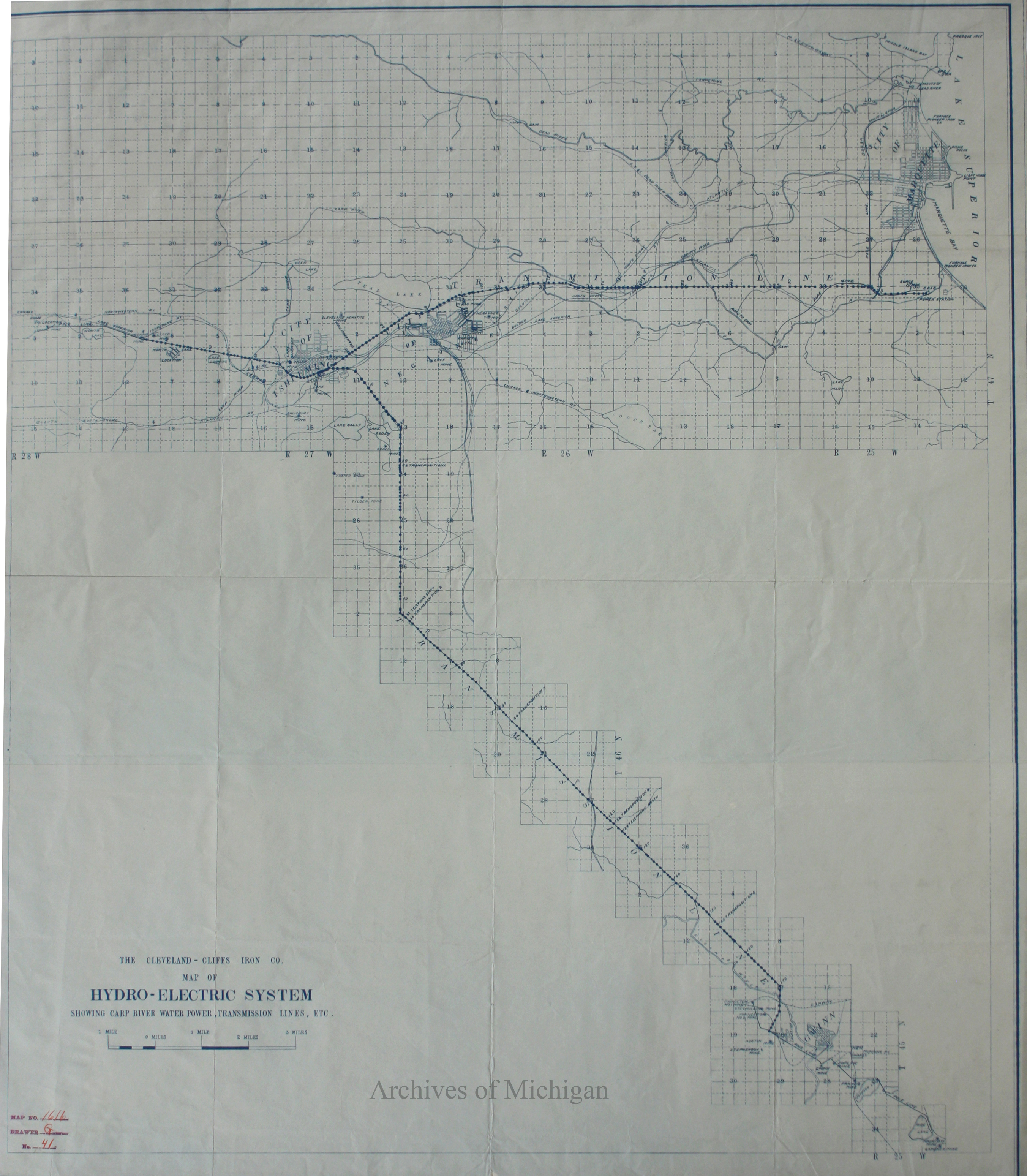
|
||||||||||||||||
|
Carp River Water Power, Marquette County 1913 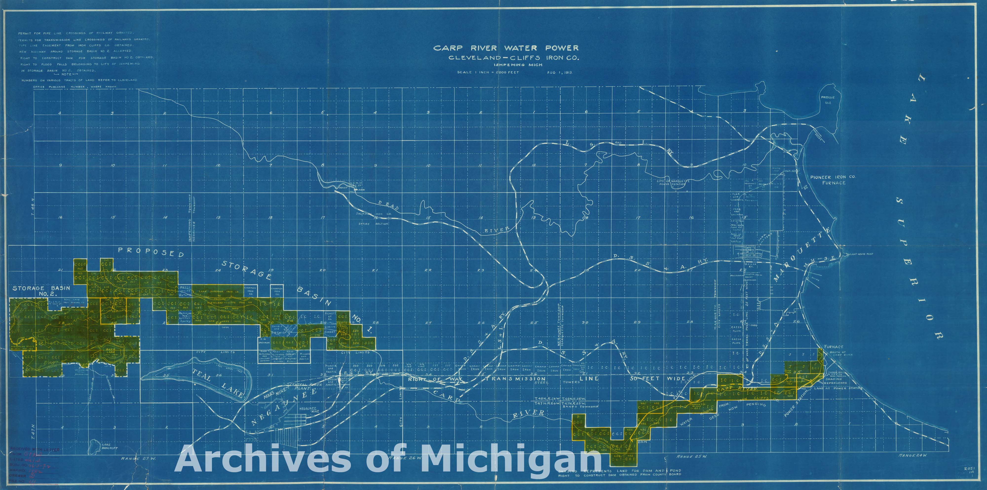
|
||||||||||||||||
|
Carp River Water Power Damsite at No. 1 Storage Basin 1914 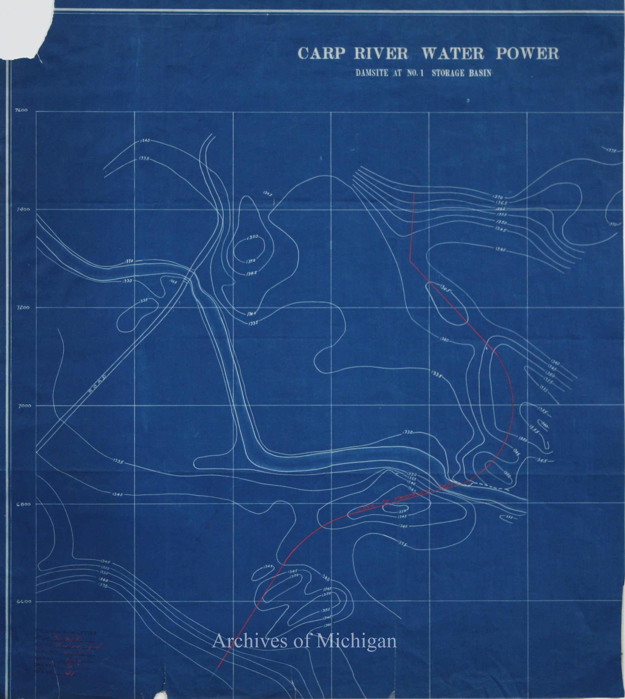
|
||||||||||||||||
|
Carp River Water Power, Marquette County dated 1913 (Received 1916) 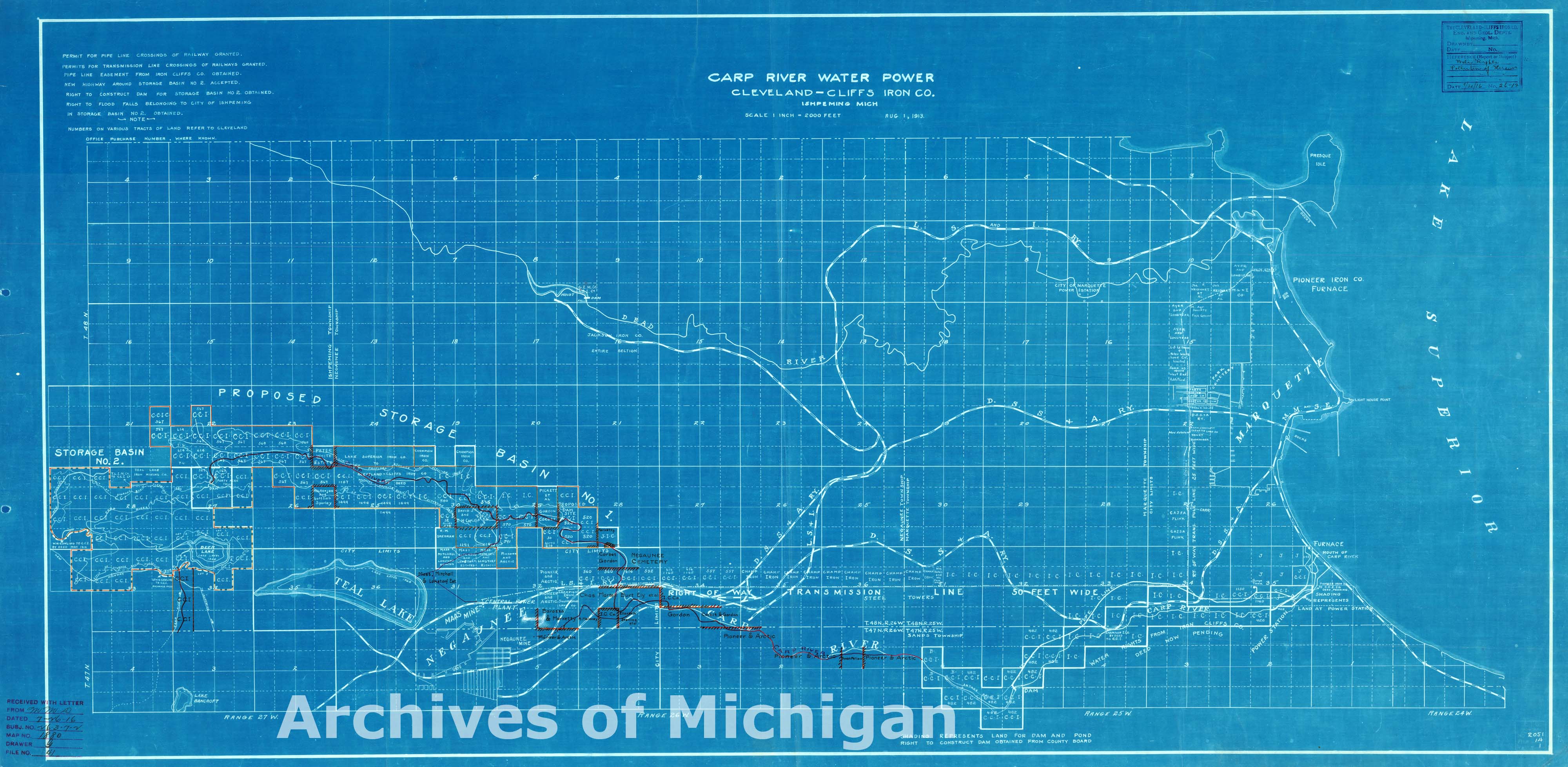
|
||||||||||||||||
|
Map of the Sturgeon River showing Proposed Developments, Baraga County 1910 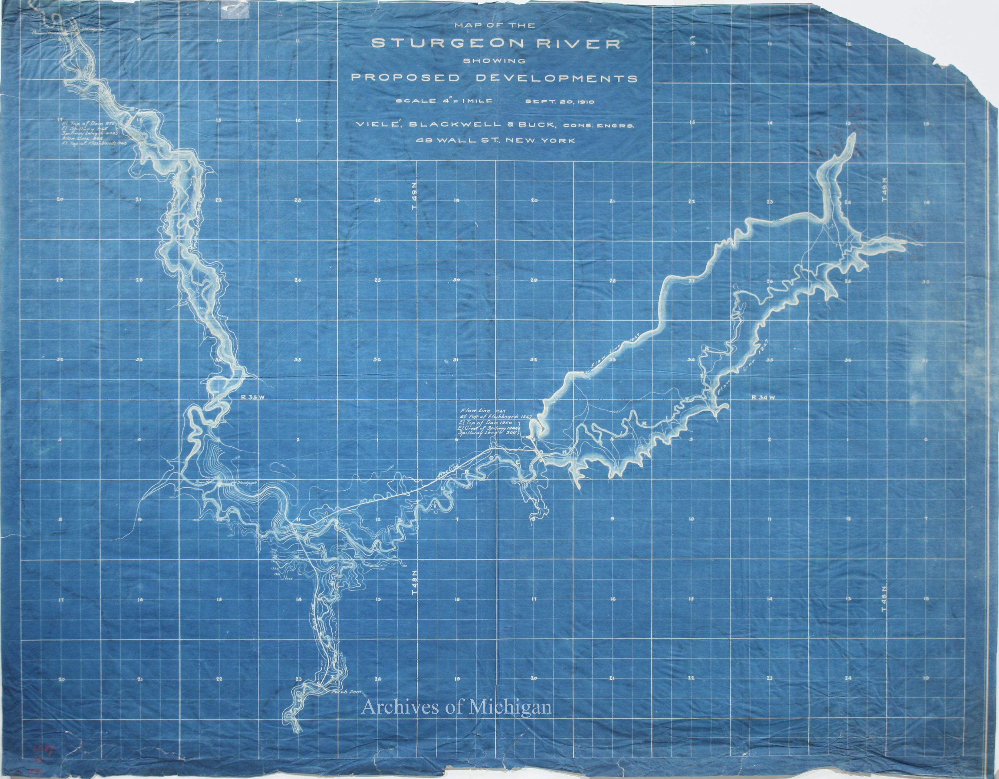
|
||||||||||||||||
|
Map of the Sturgeon River Development 1910 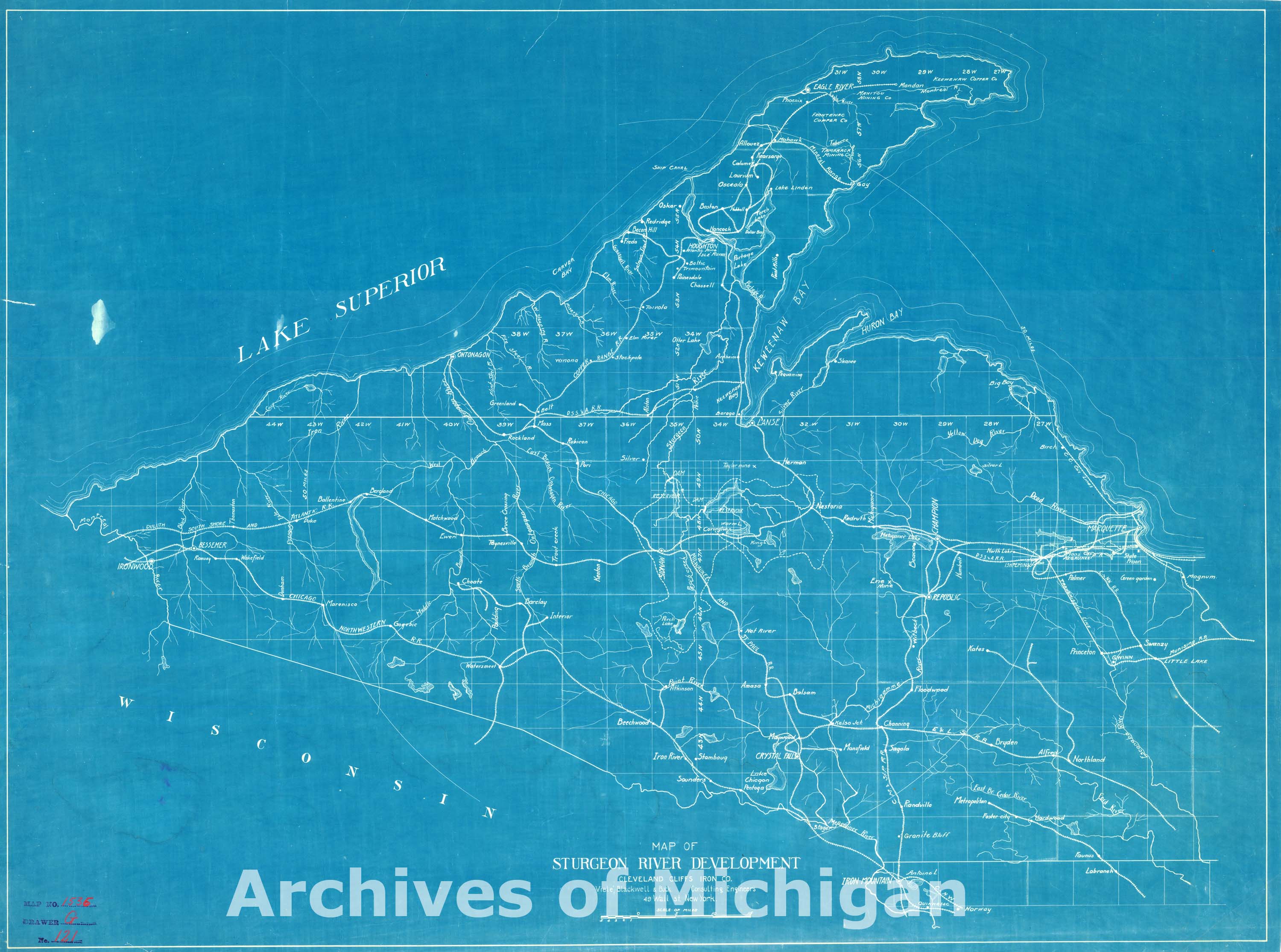
|
||||||||||||||||
|
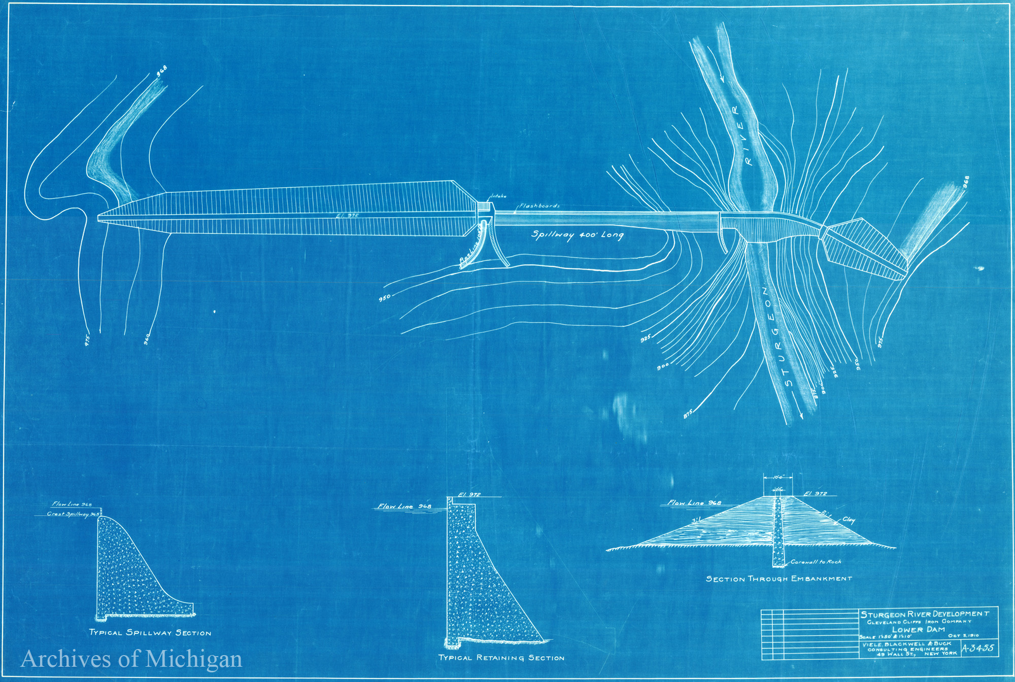
Sturgeon River Development Upper and Lower Dam (2 maps) 1910 
|
||||||||||||||||
|
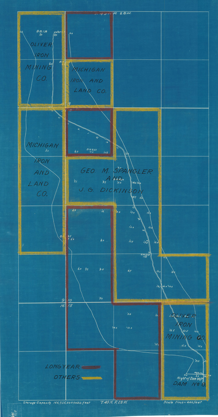
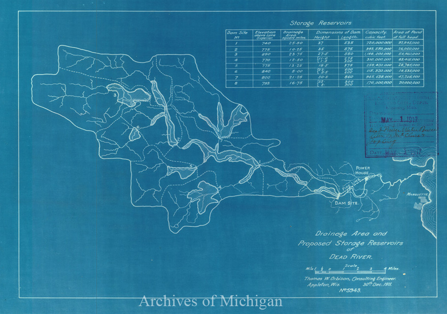
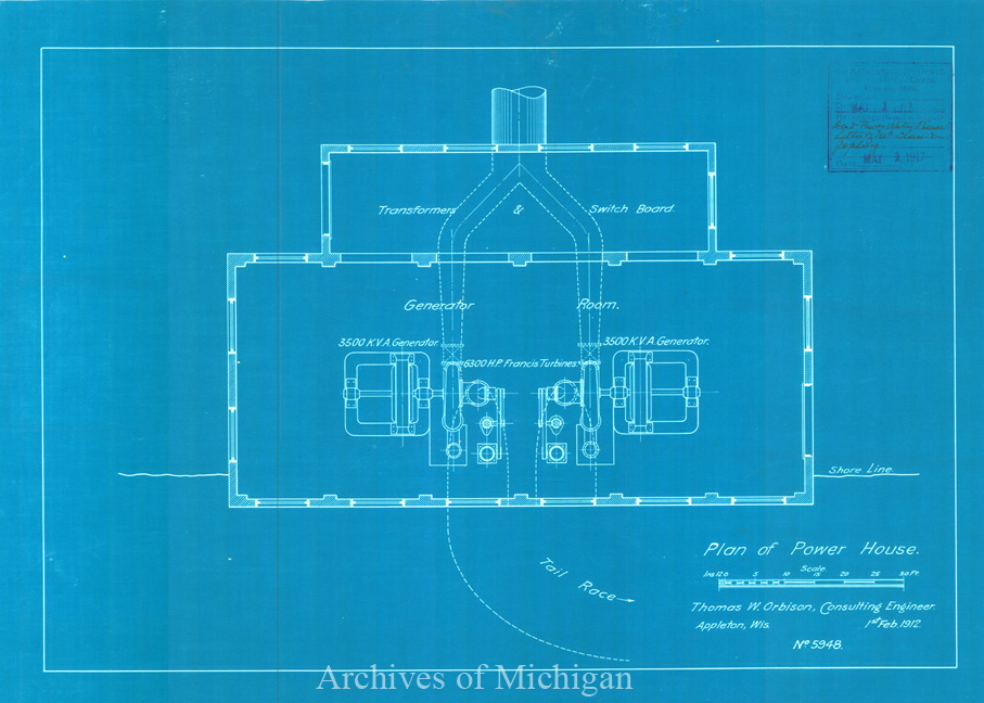
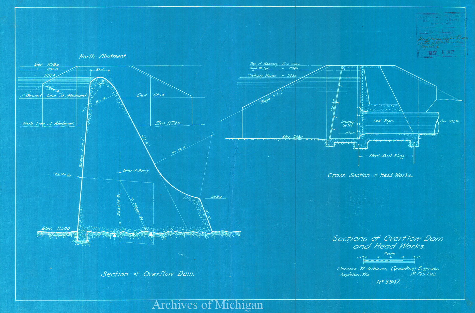
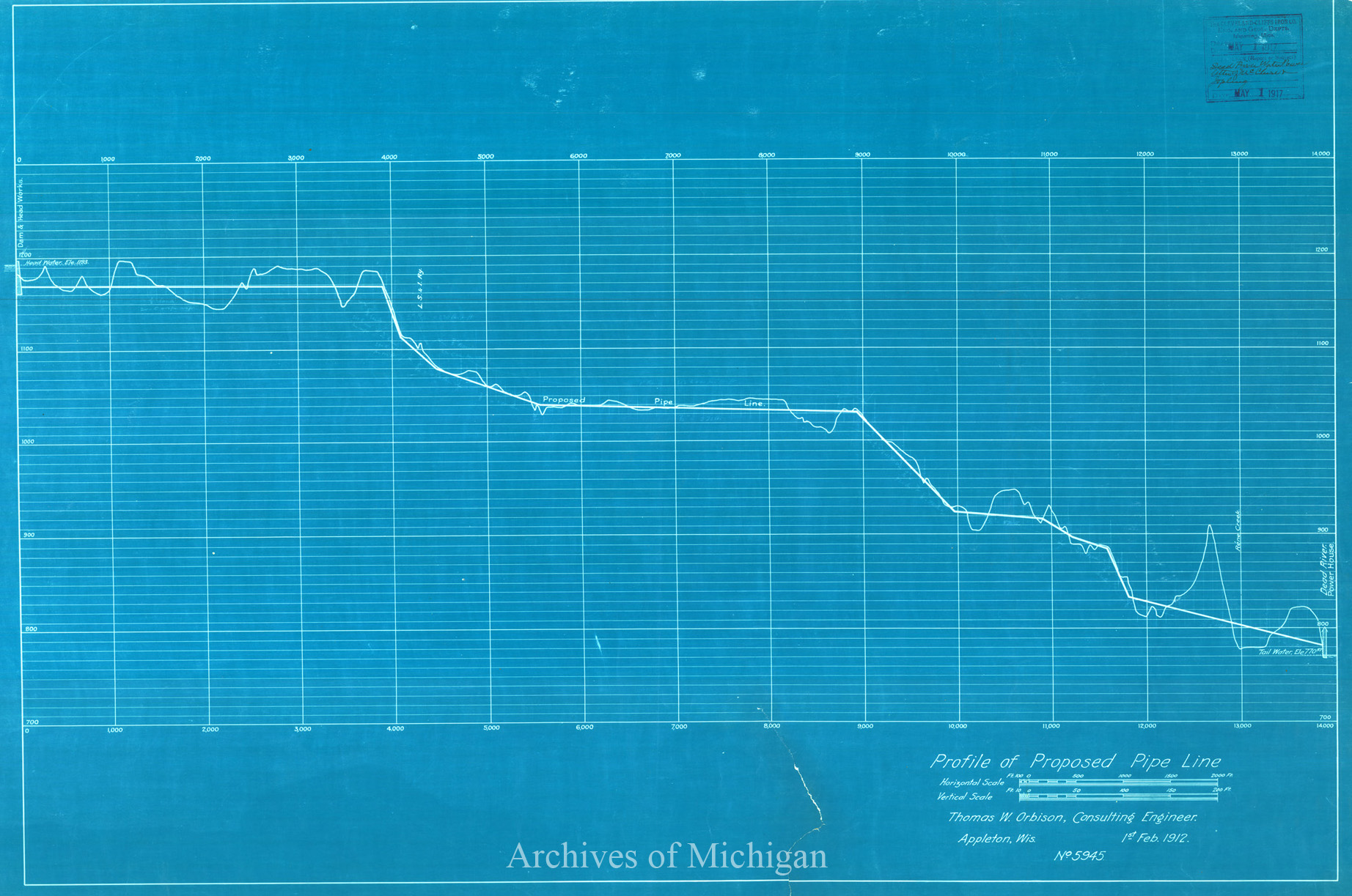
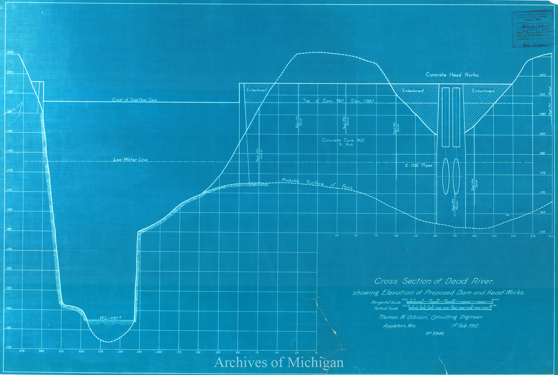
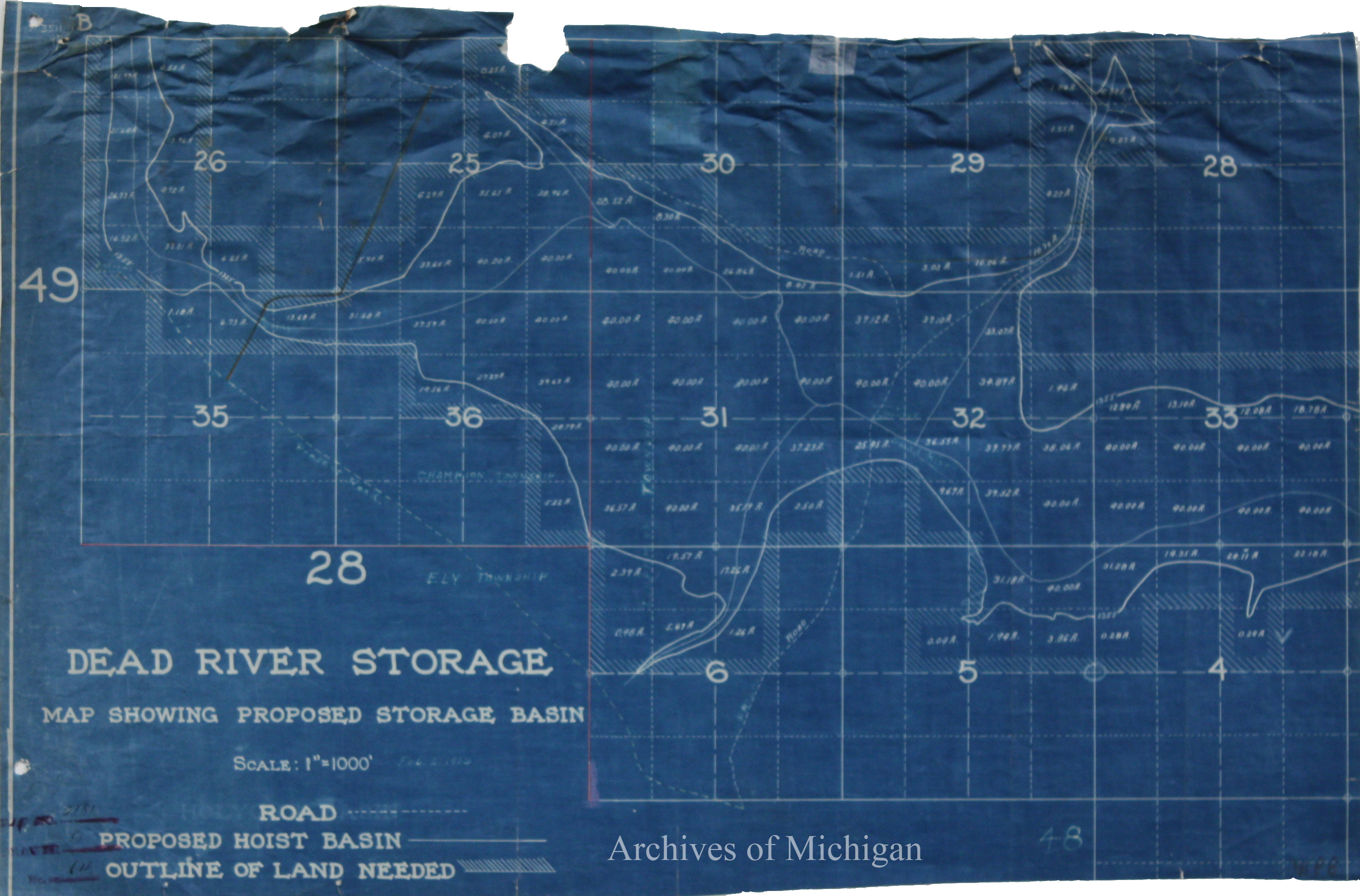
Dead River Storage map showing Proposed Storage, Marquette County 1911 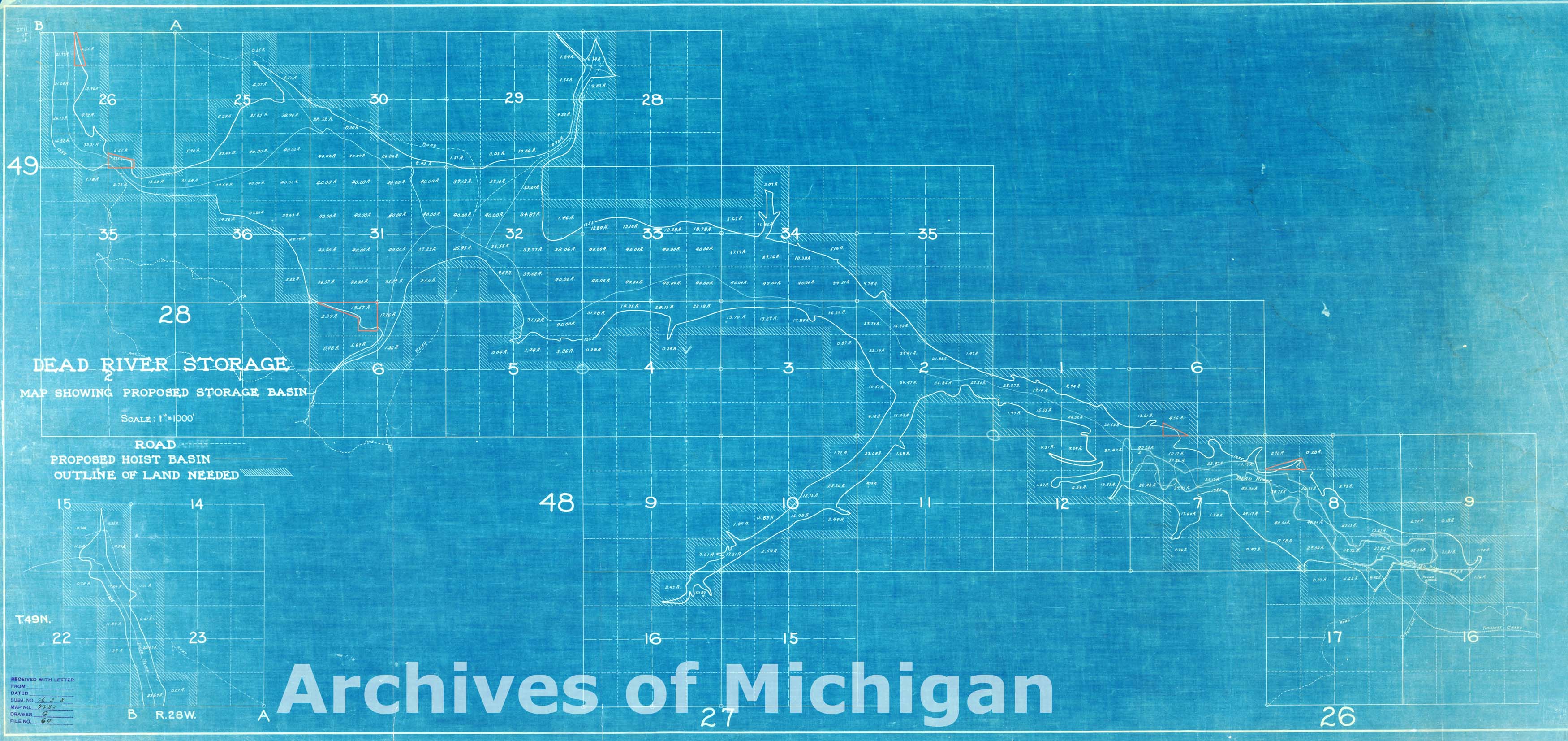
|
||||||||||||||||
|
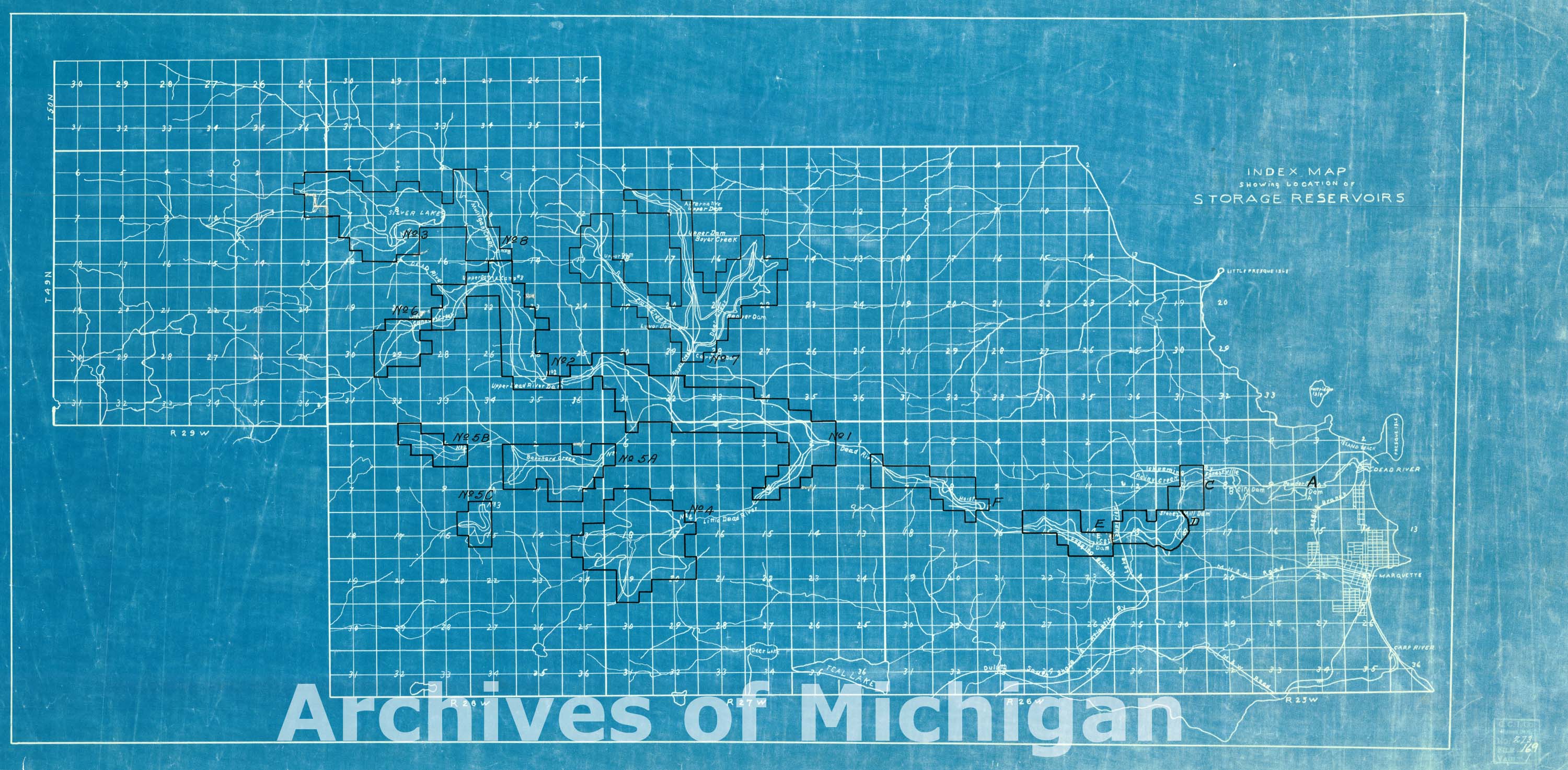
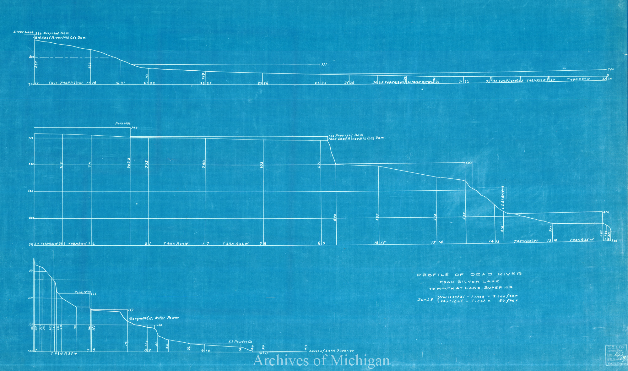
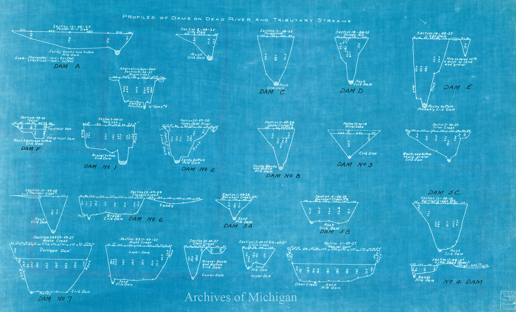
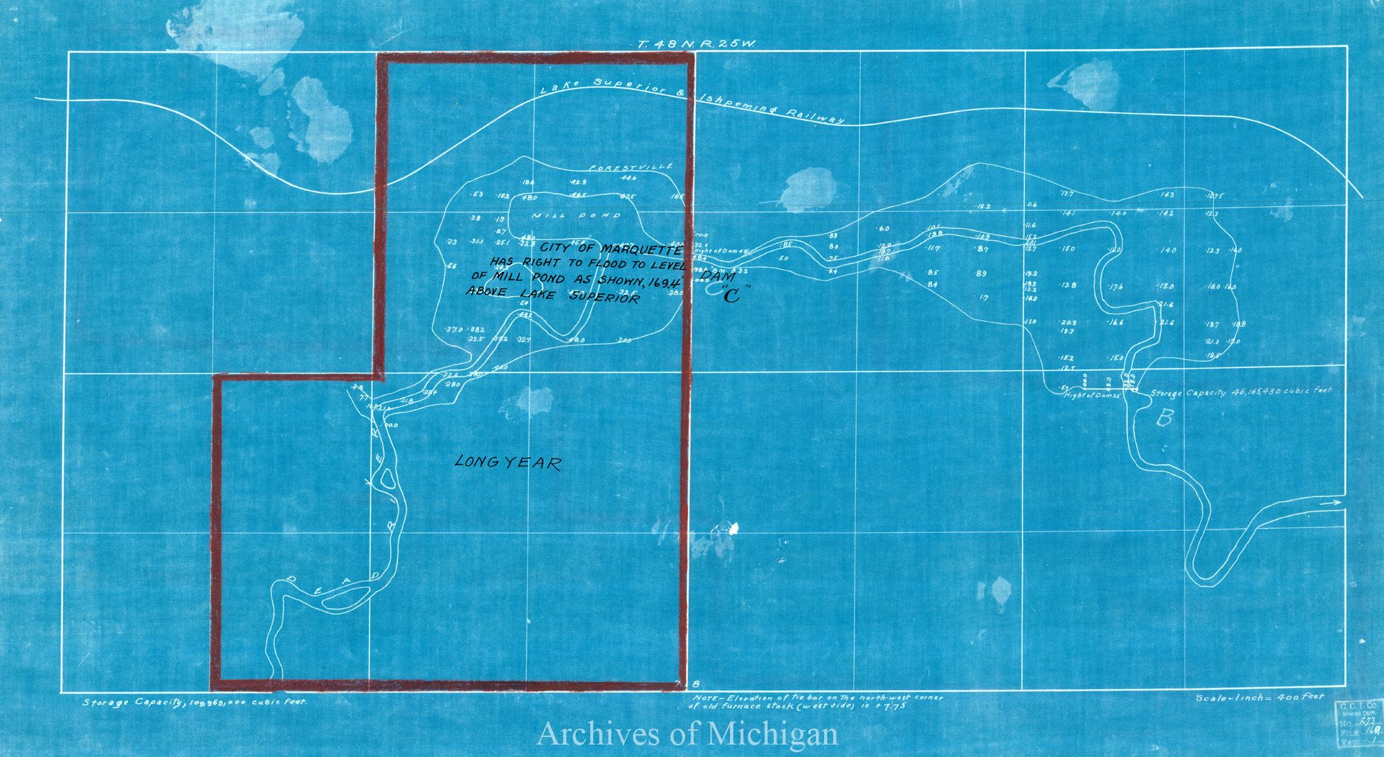
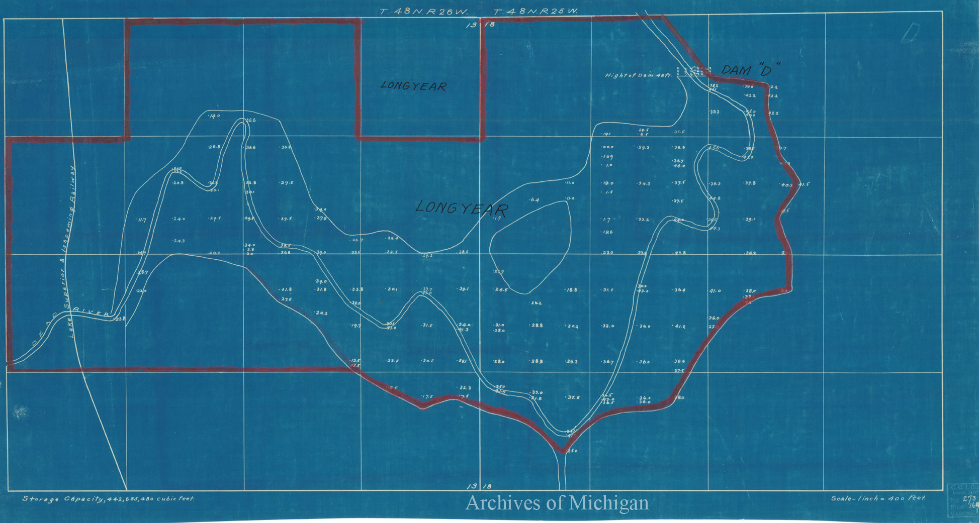
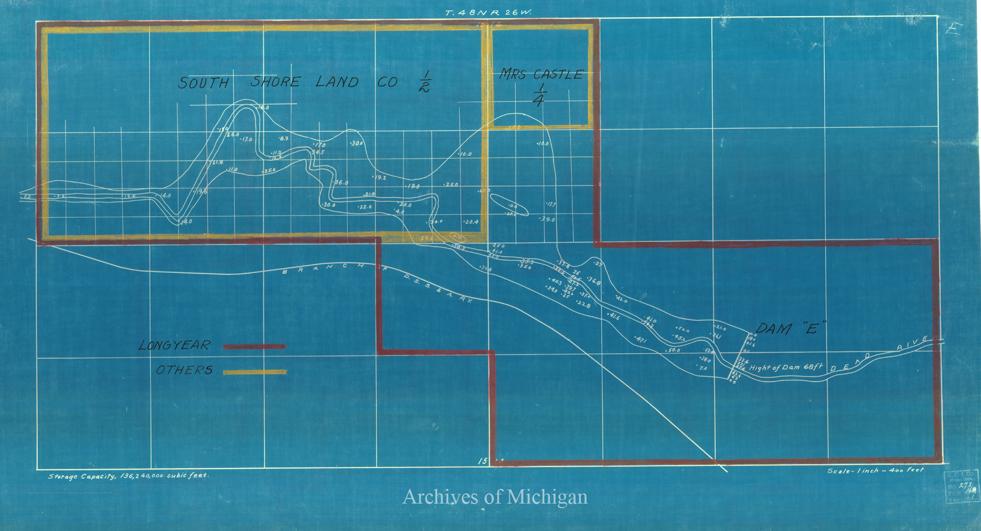
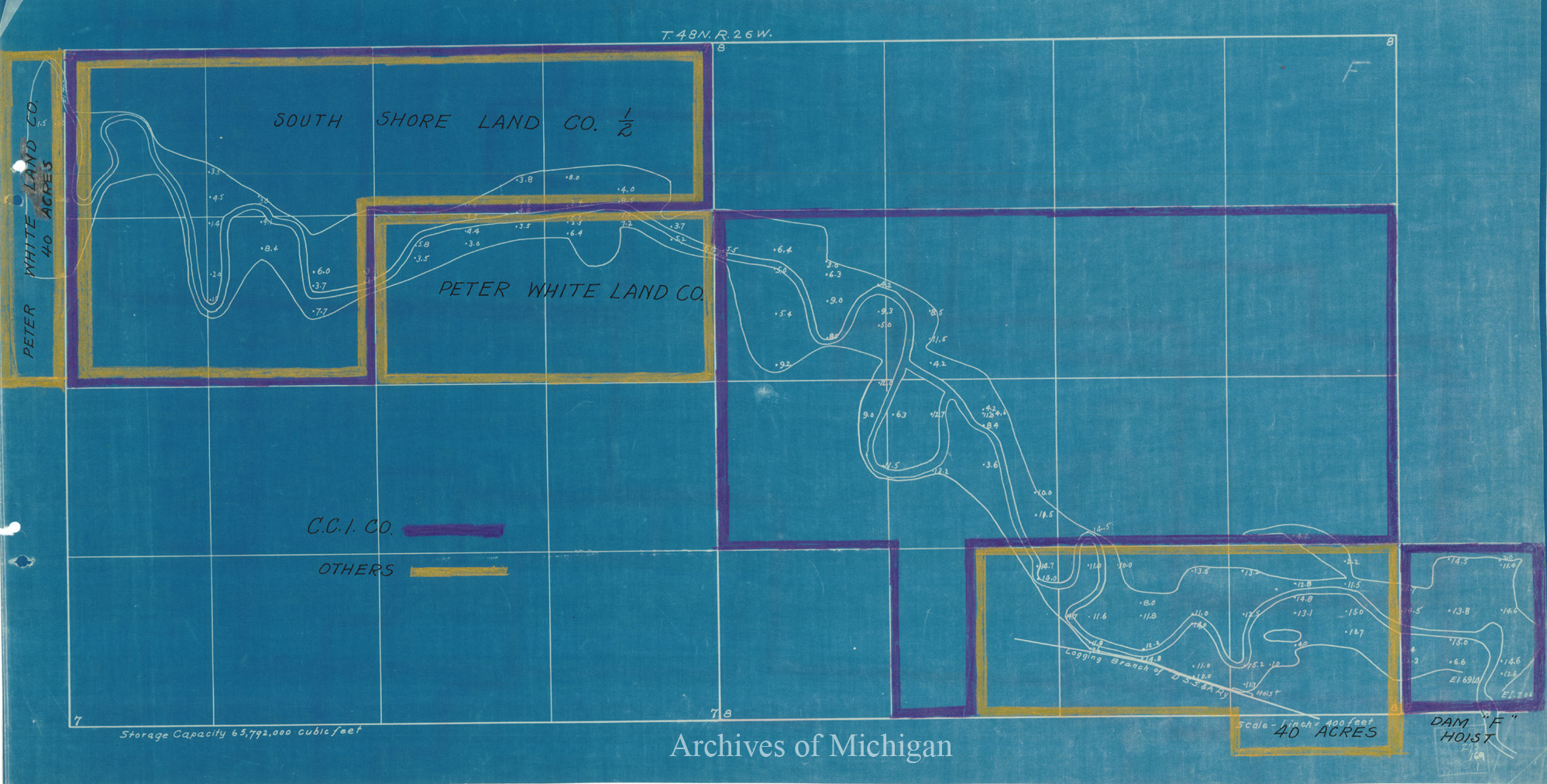
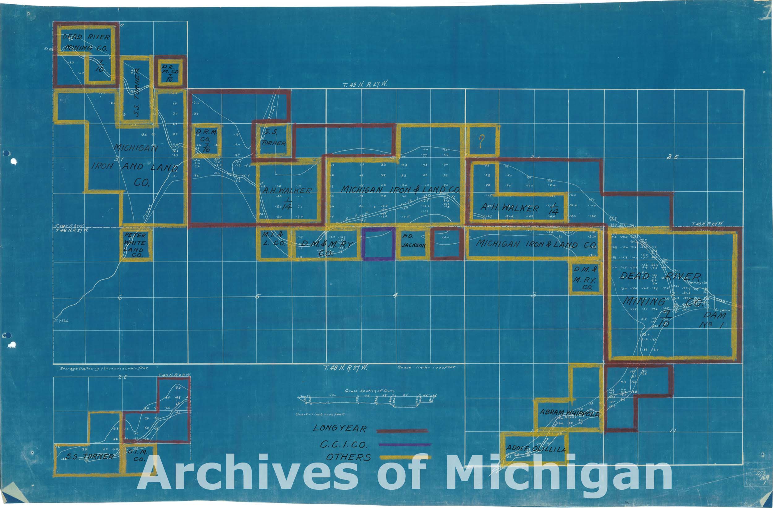
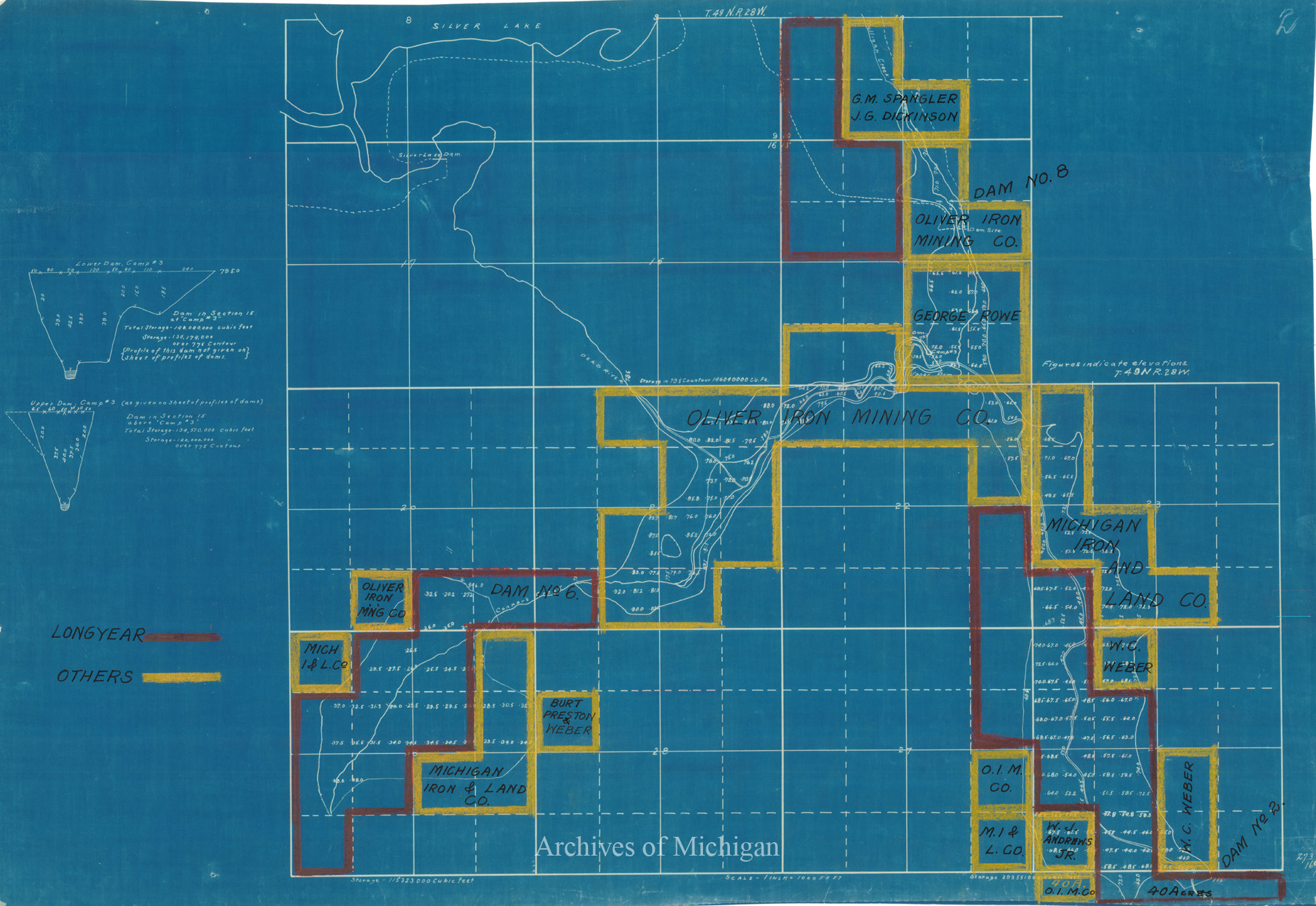
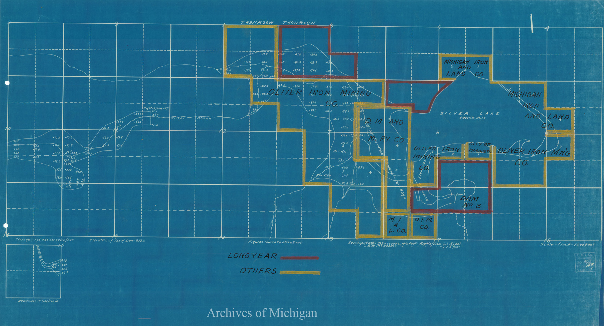
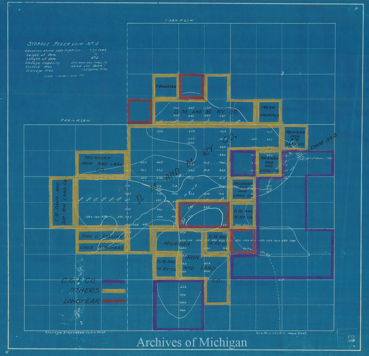
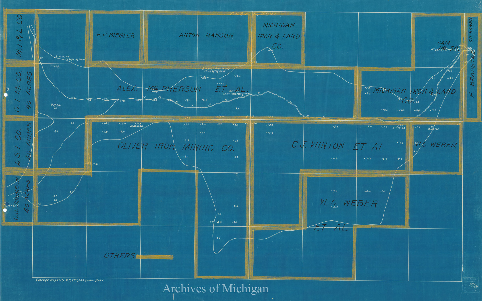
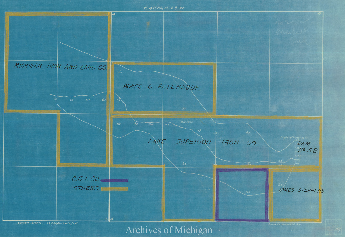
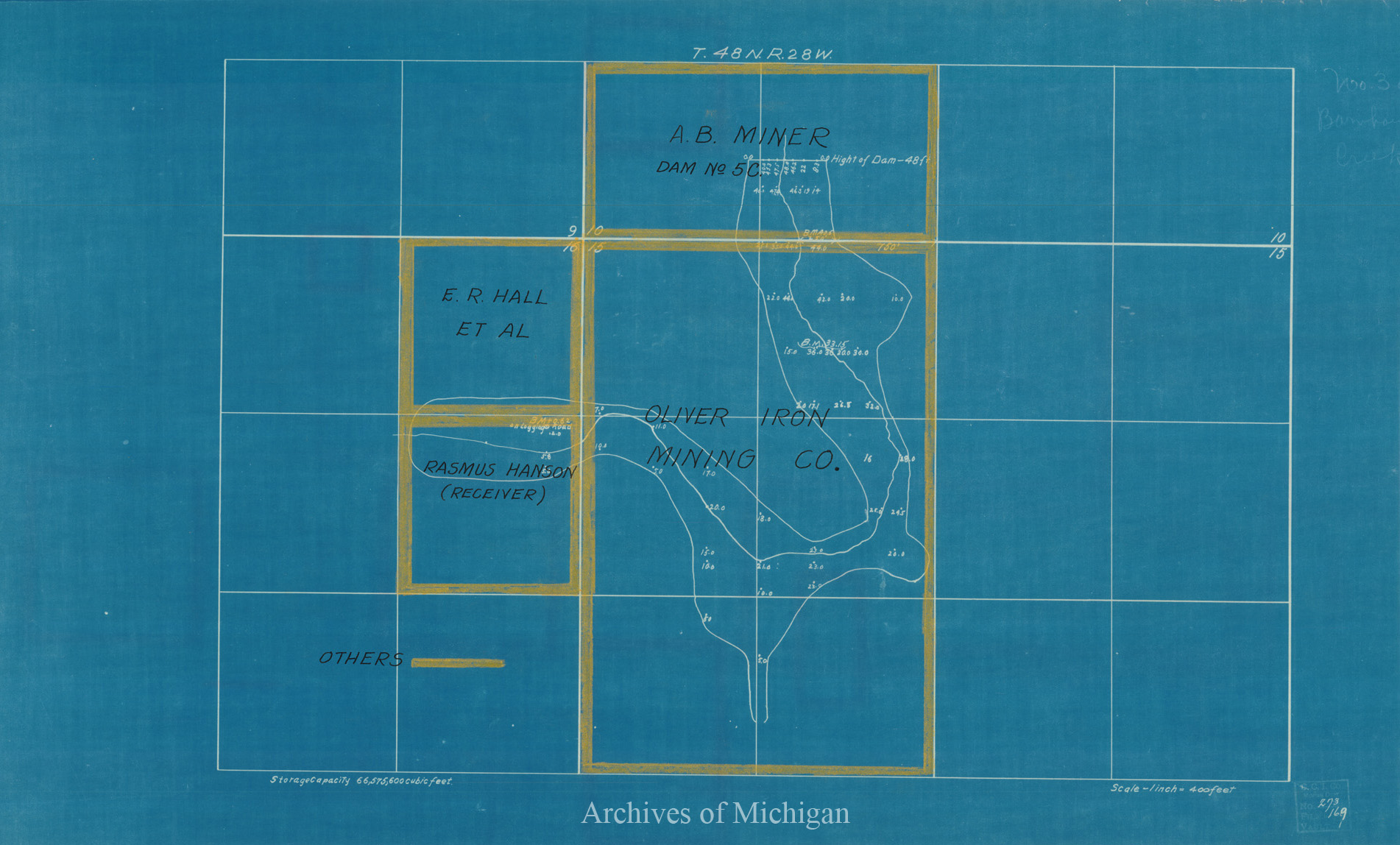
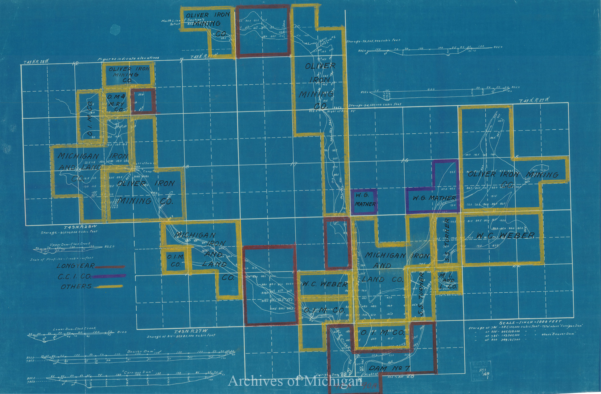
Storage Resevoirs on Dead River and Tributary Streams (20 maps) 1912 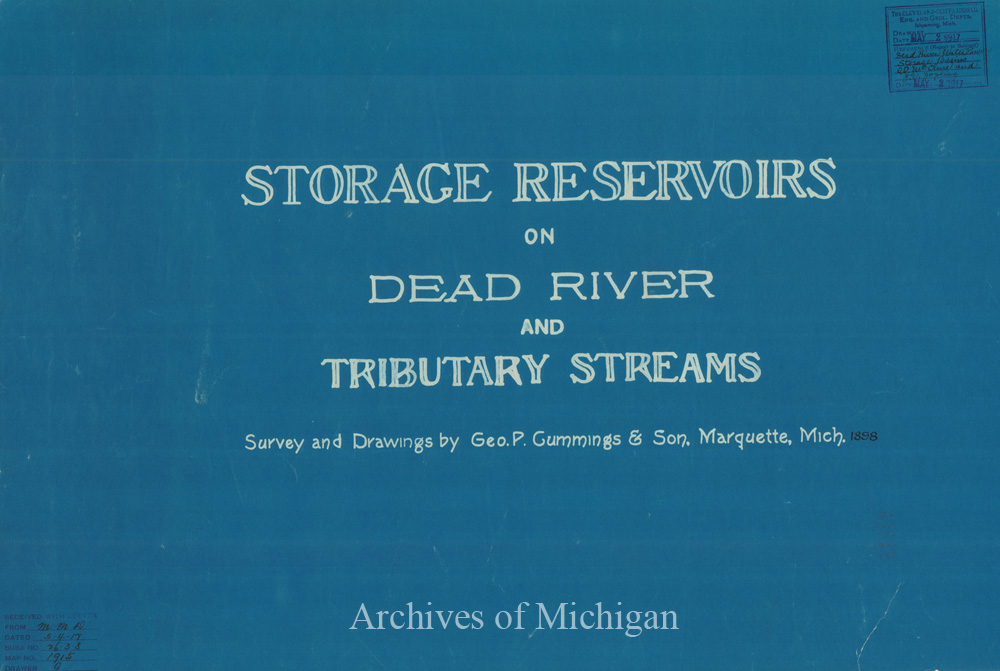
|
||||||||||||||||
|
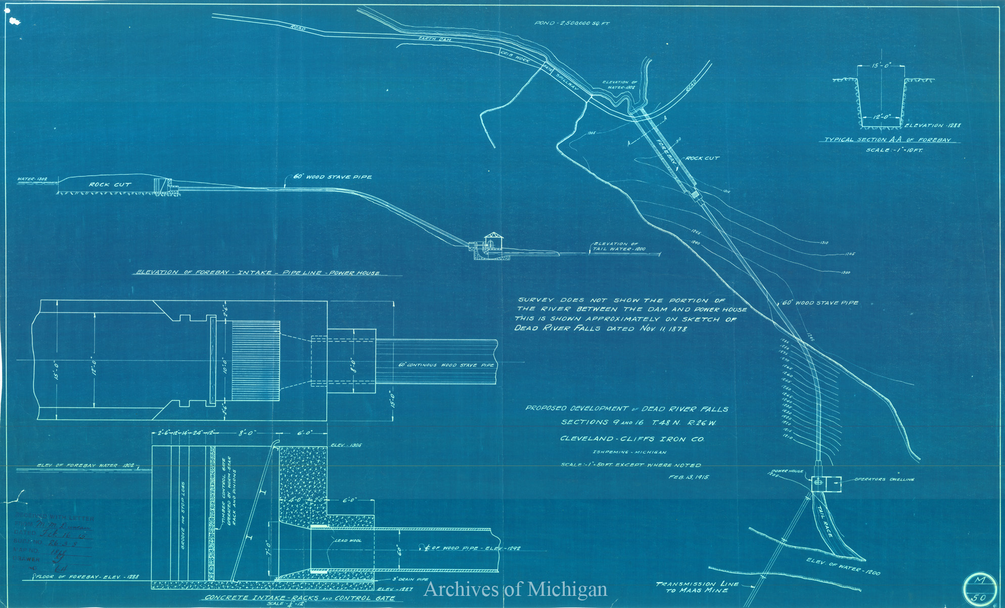
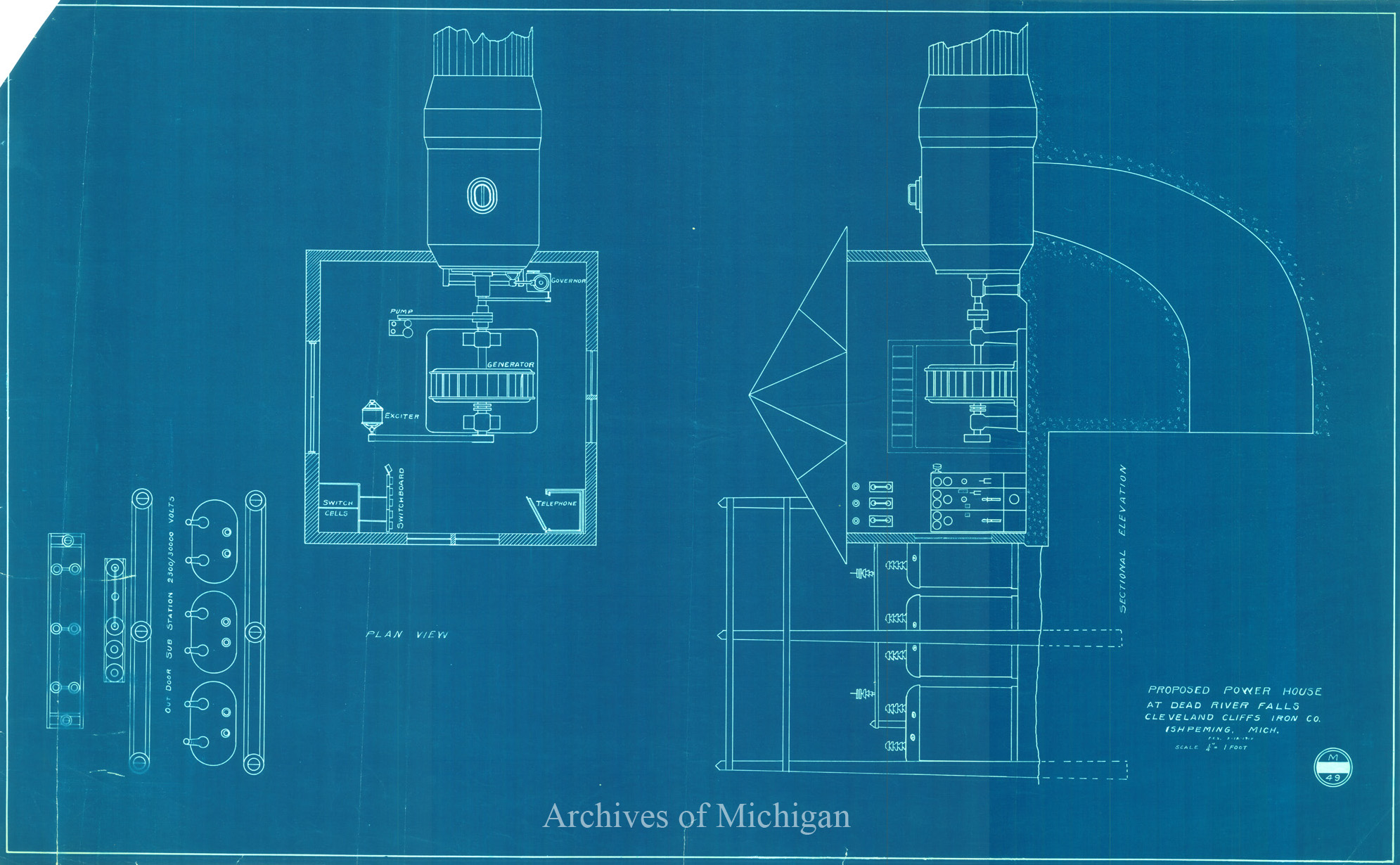
Dead River Falls, Ely Township (3 maps) 1917 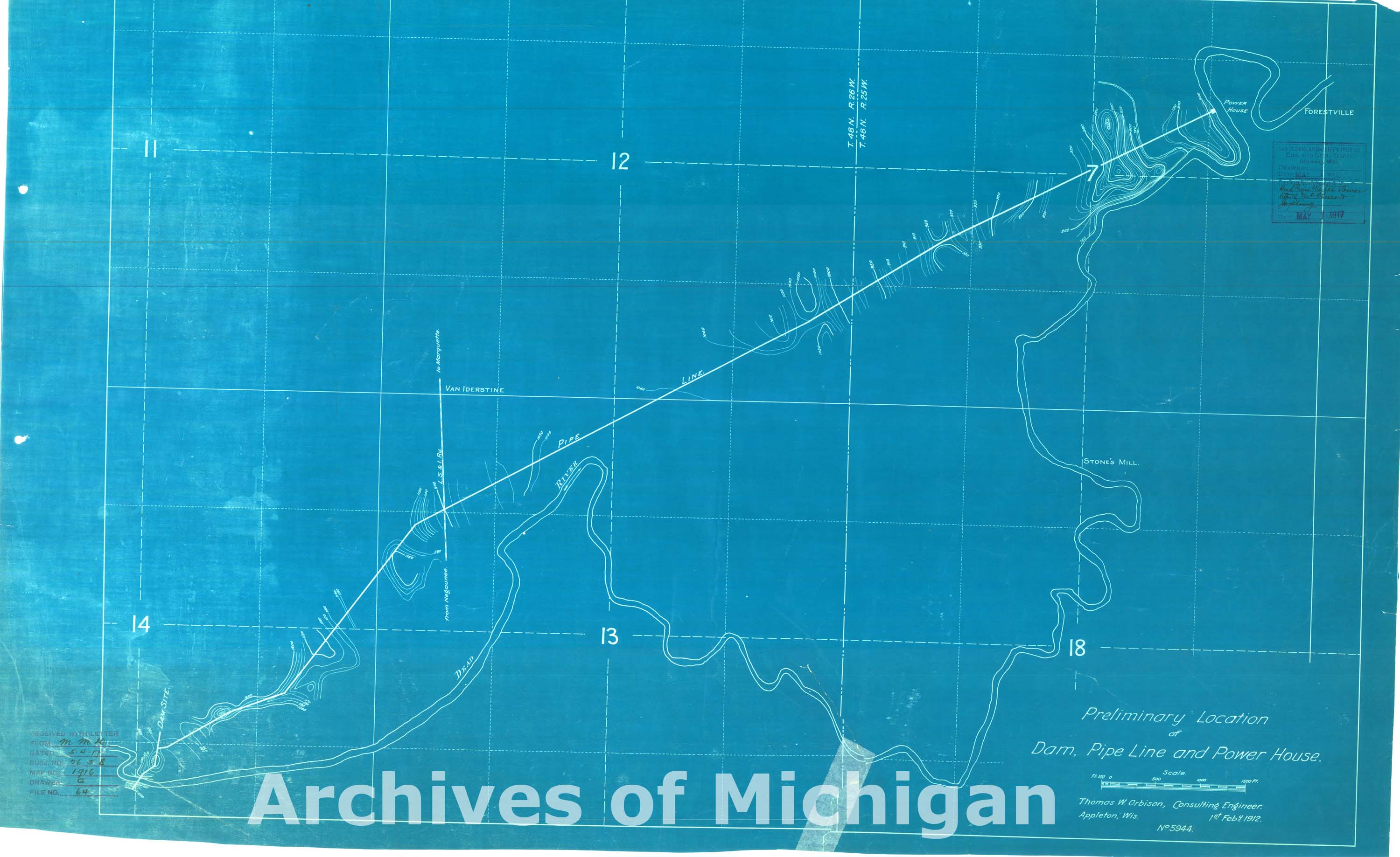
|
||||||||||||||||
|
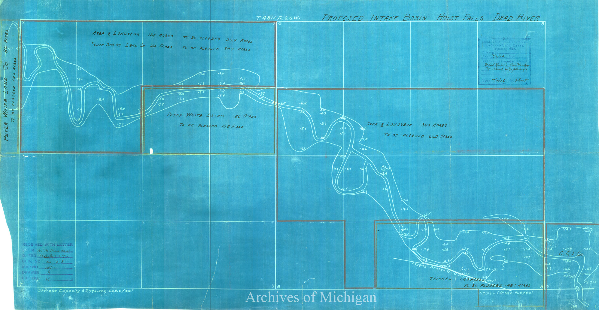
Proposed Intake Basin Hoist Falls Dead River, Ely Township (4 maps) 1916 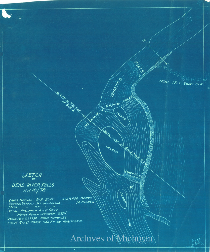
|
||||||||||||||||
|
Dead River Storage, Ely Township (2 maps) 1923 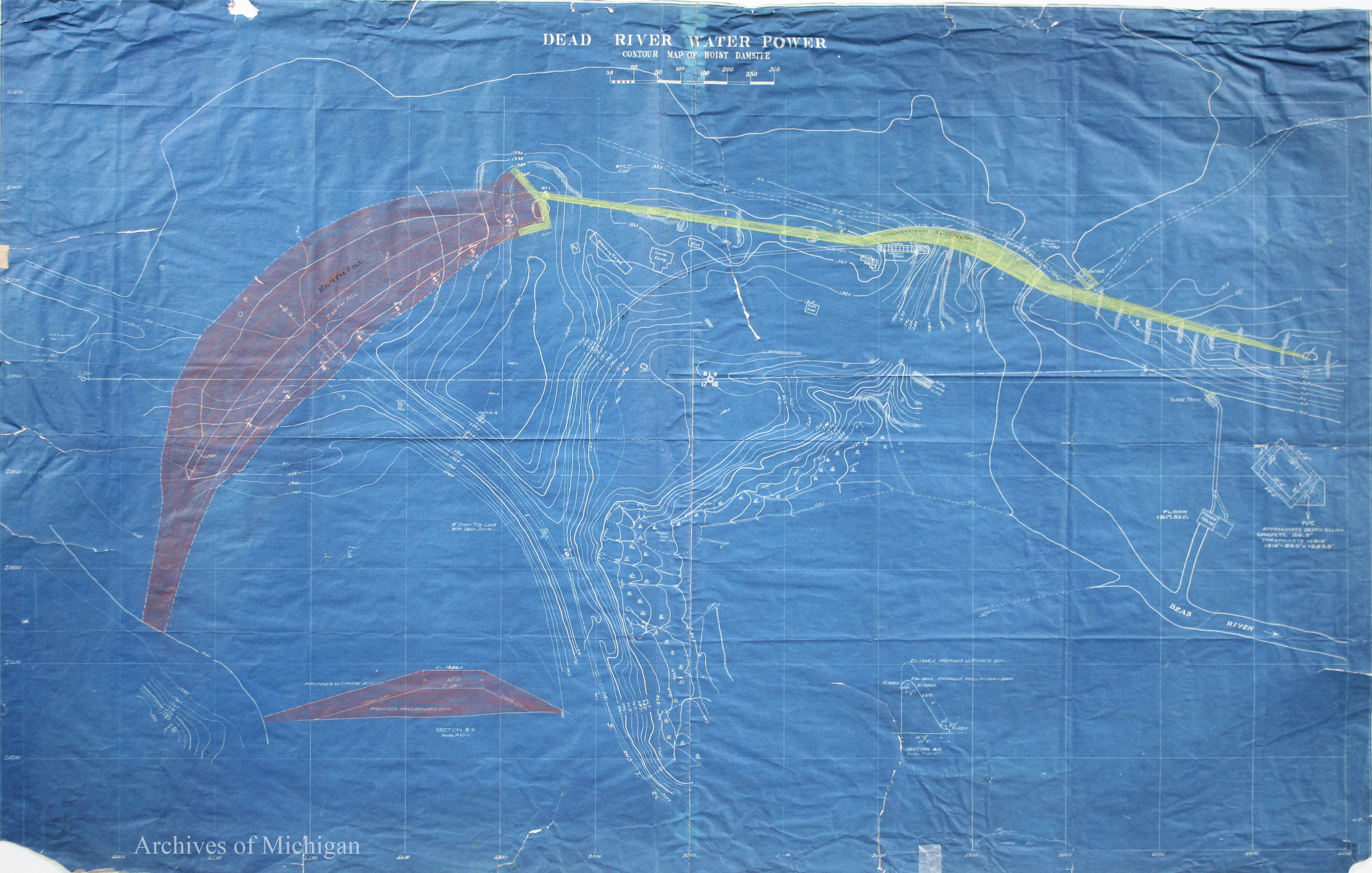
|
||||||||||||||||
|
Ayer and Longyear Lease 1917 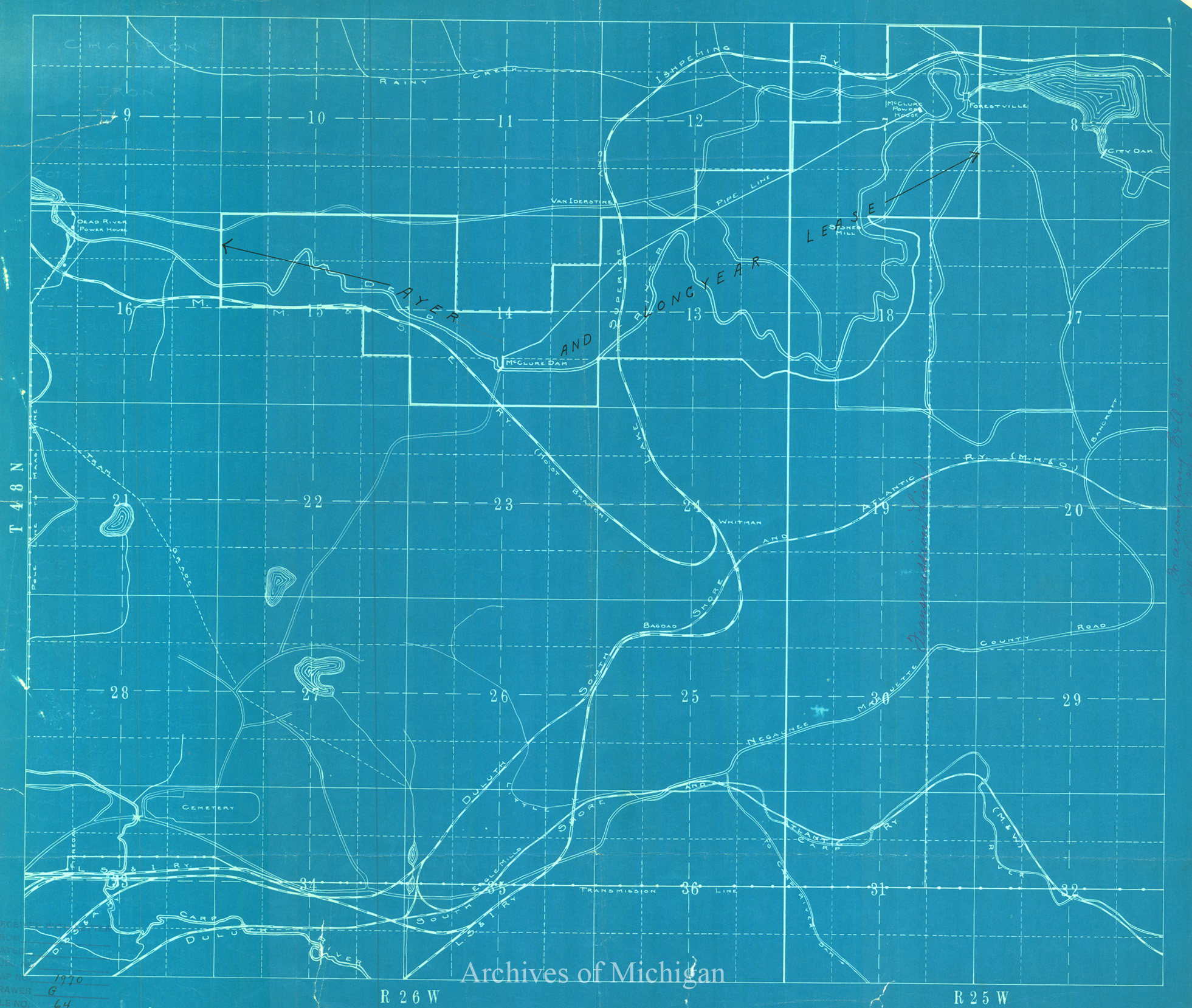
|
||||||||||||||||
|
Map of City of Marquette, Michigan 1911 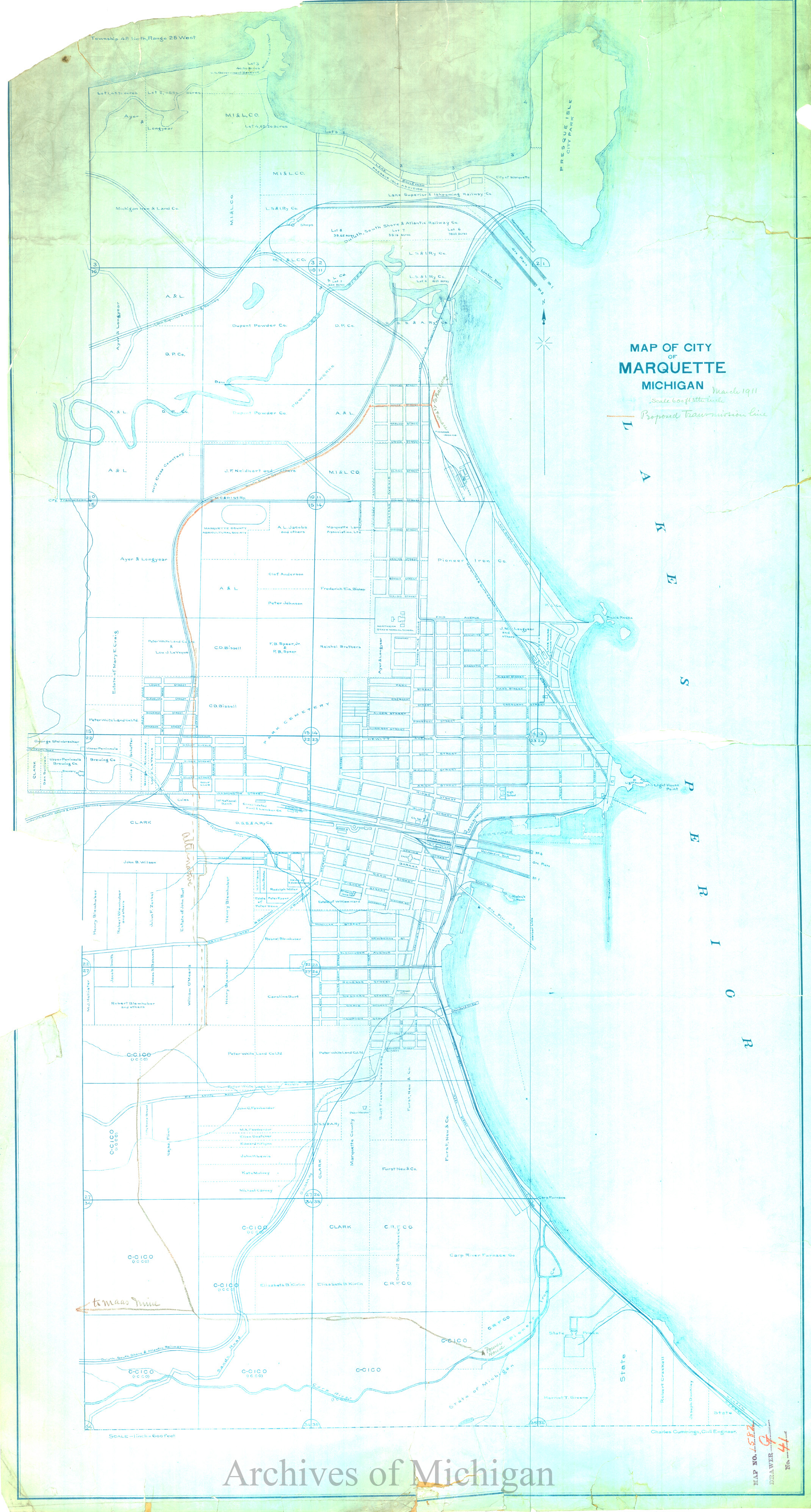
|
||||||||||||||||
|
Autrain River Development Proposed Diverting Dam Upper End Storage Resevoir, Alger County (2 maps) 1911 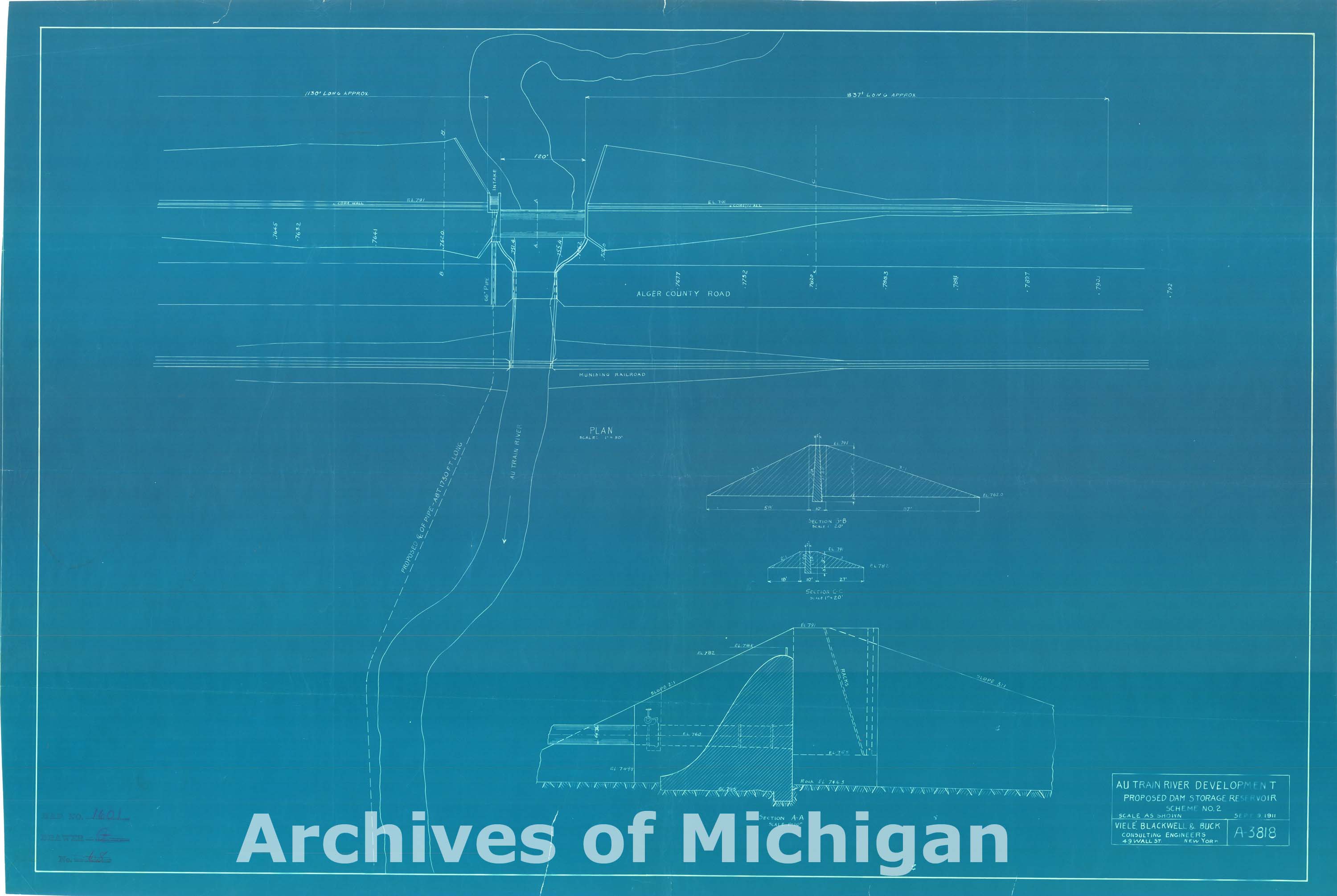
|
||||||||||||||||
|
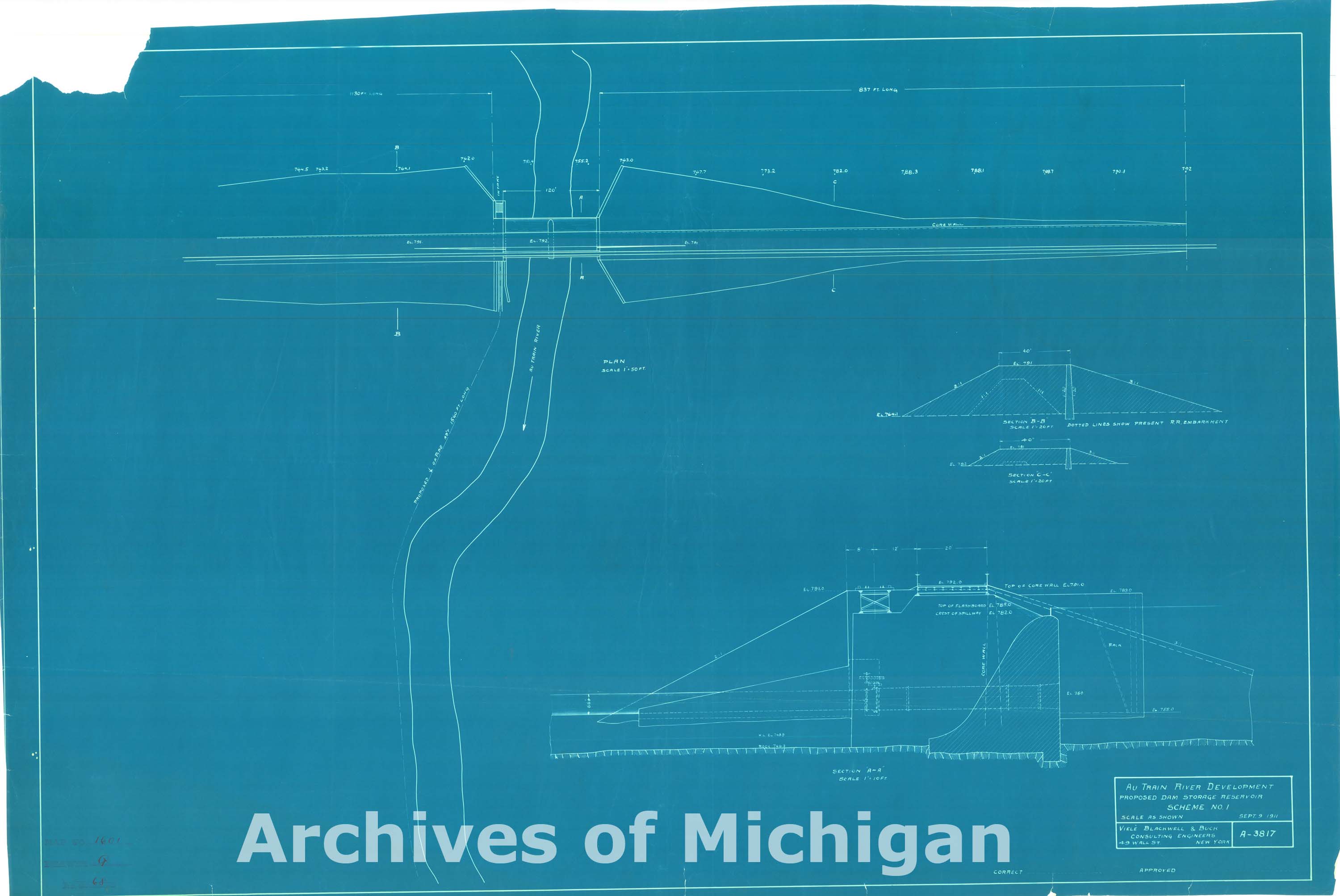
Autrain River Development Proposed Diverting Dam Storage Resevoir, Alger County 1911 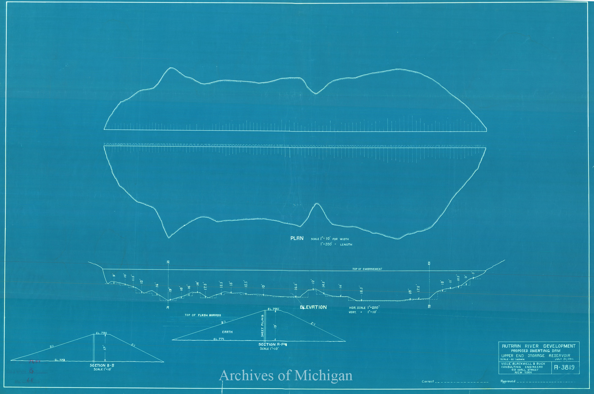
|
||||||||||||||||
|
Alger Water Power, Alger County 1914
|
||||||||||||||||